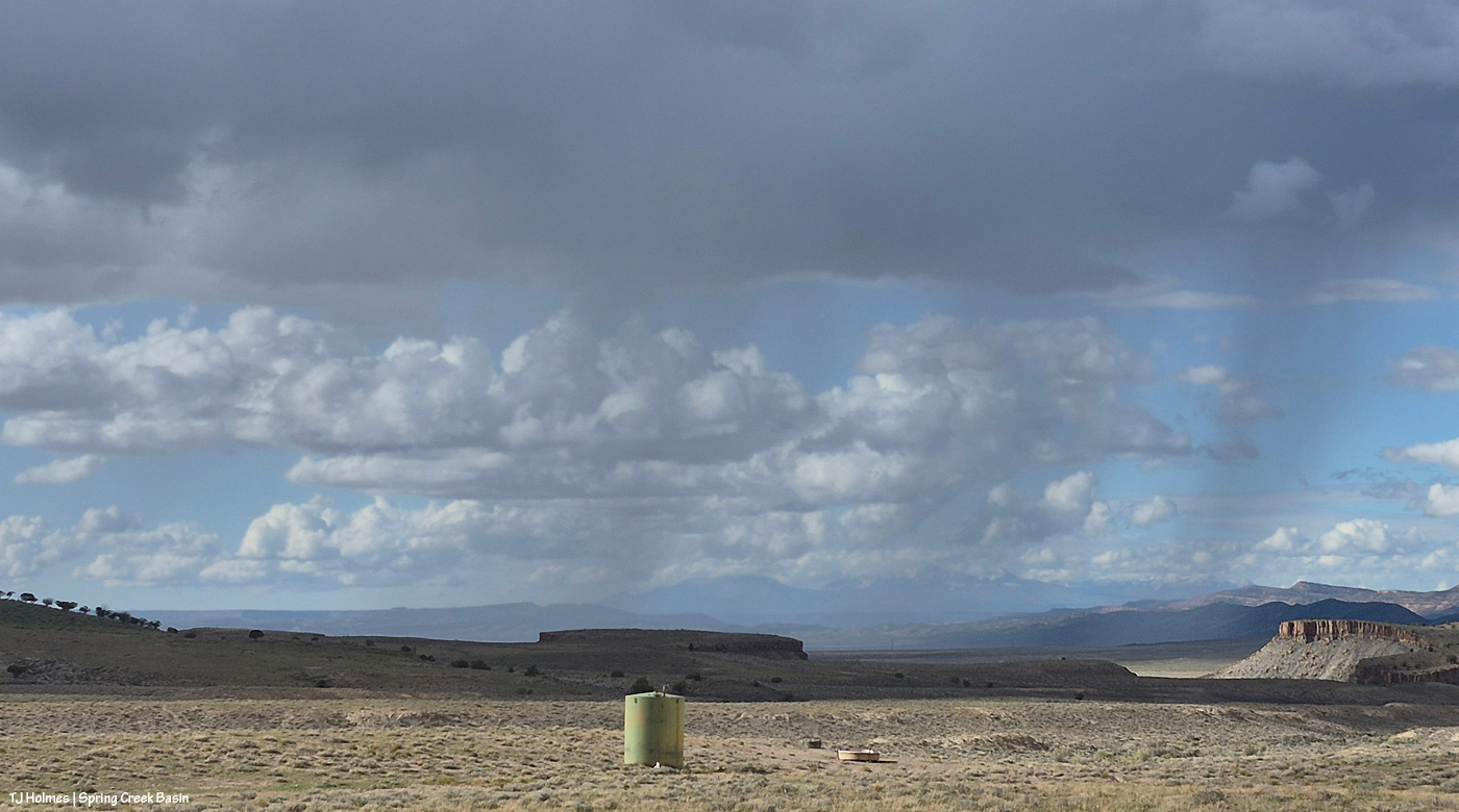
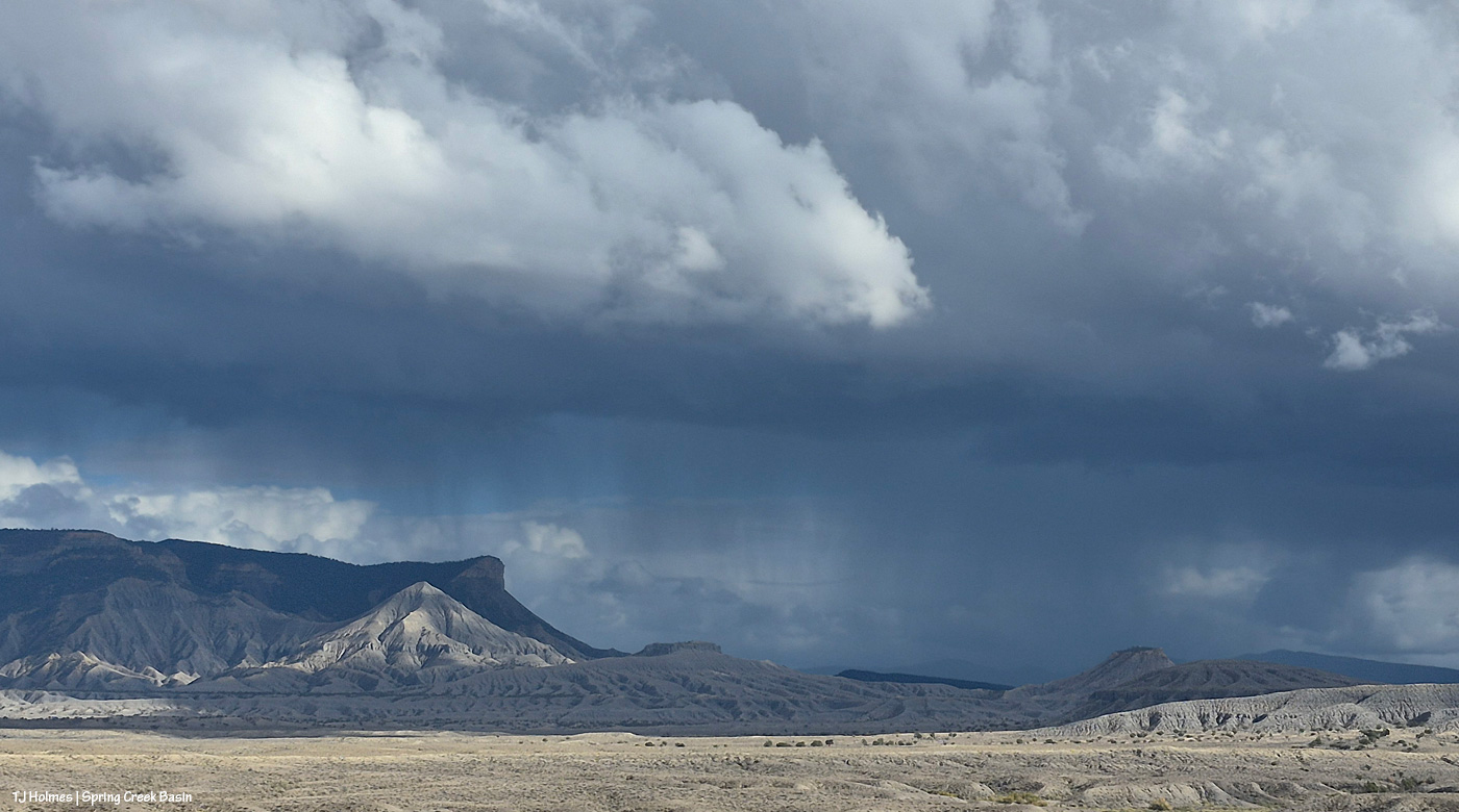
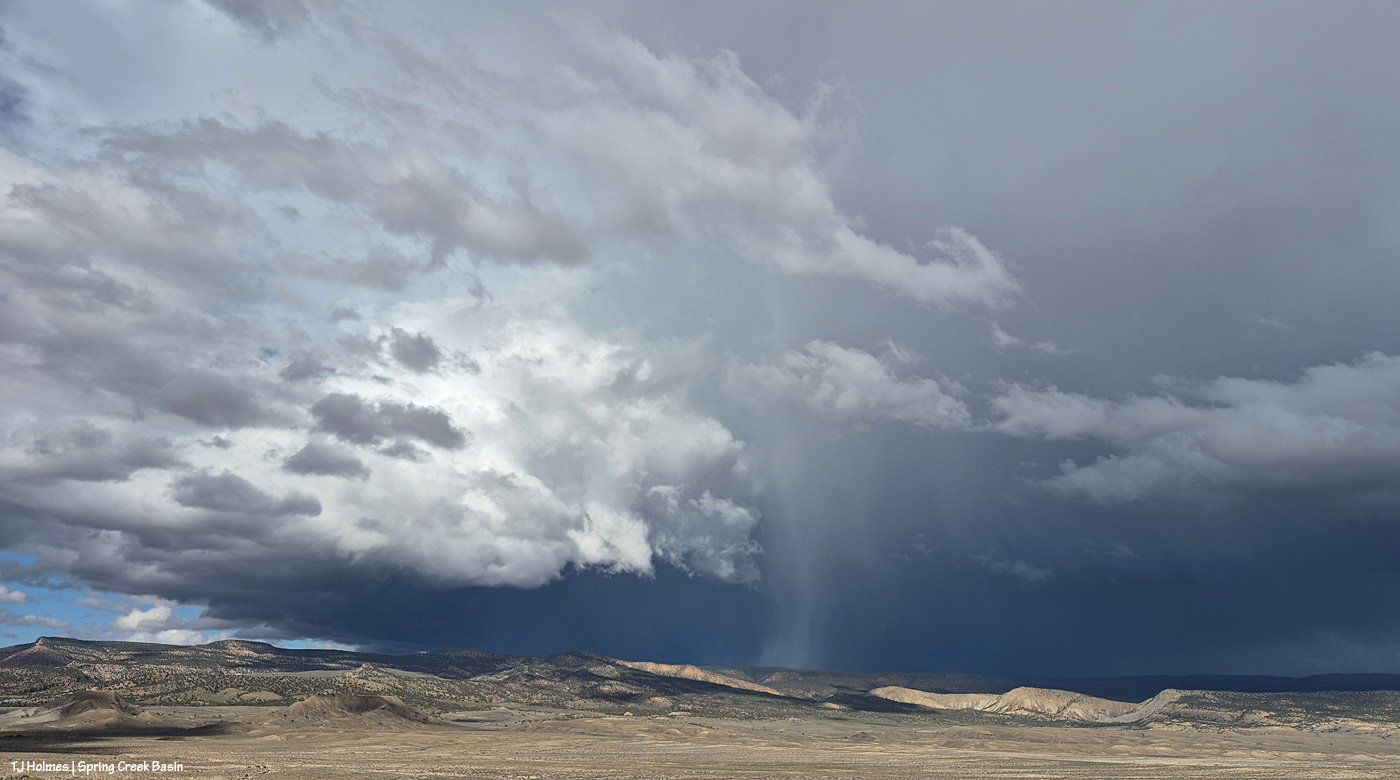
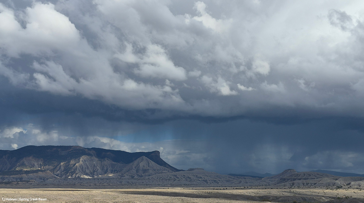
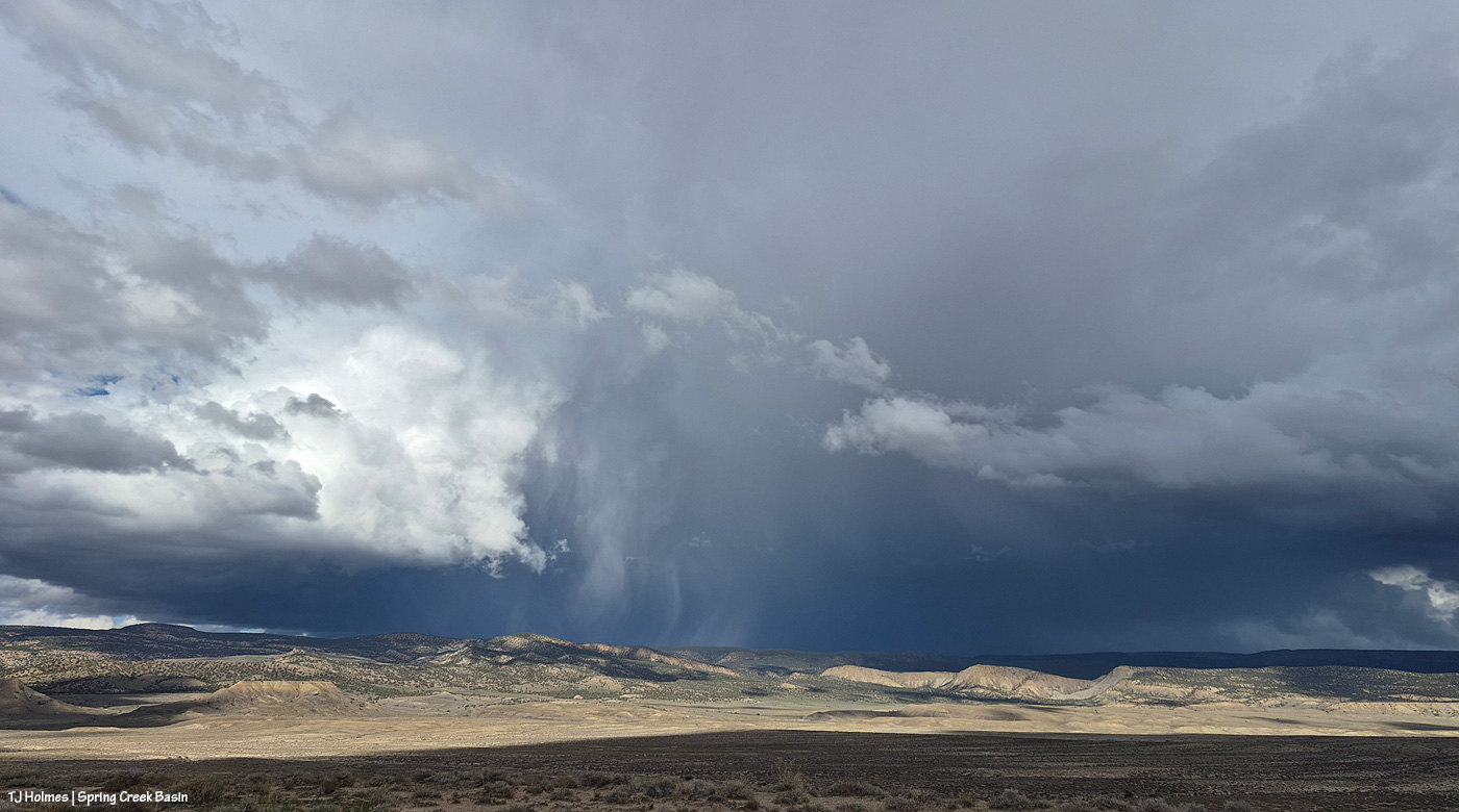
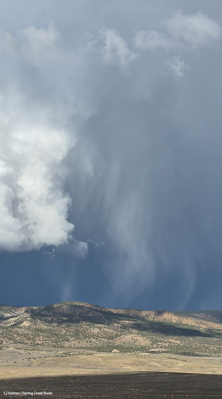
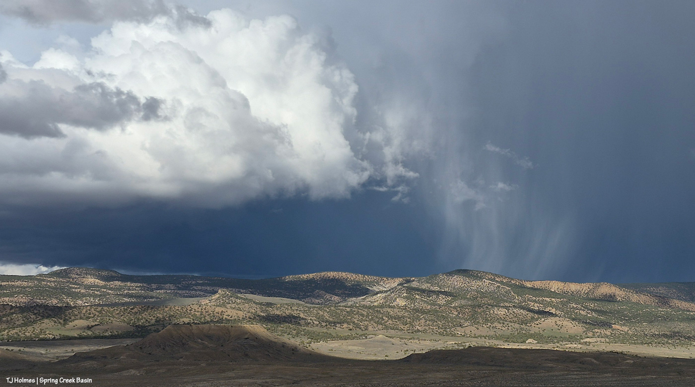
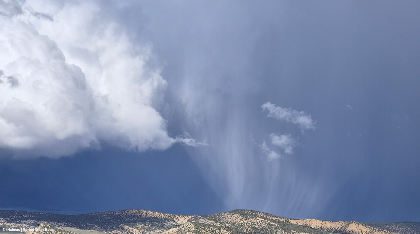
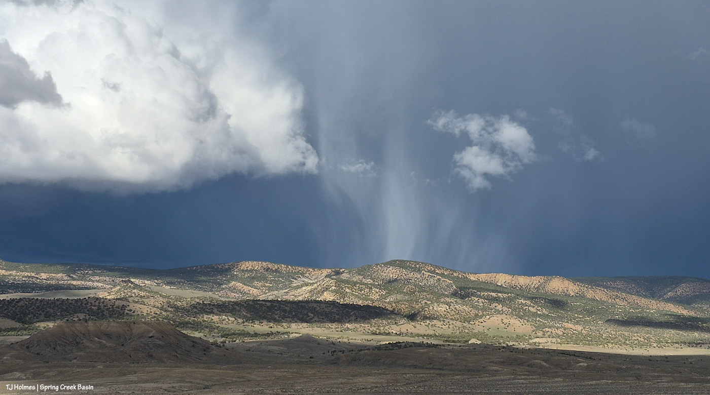
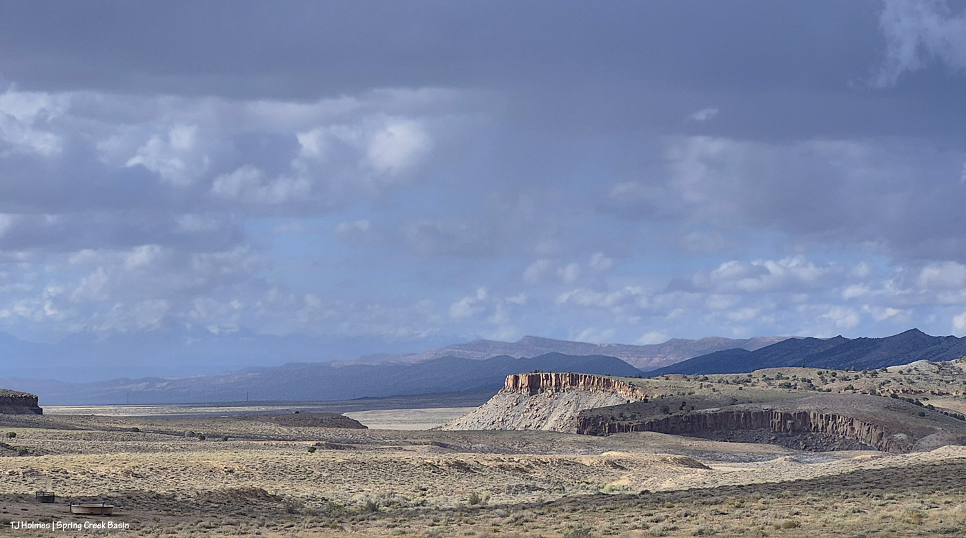
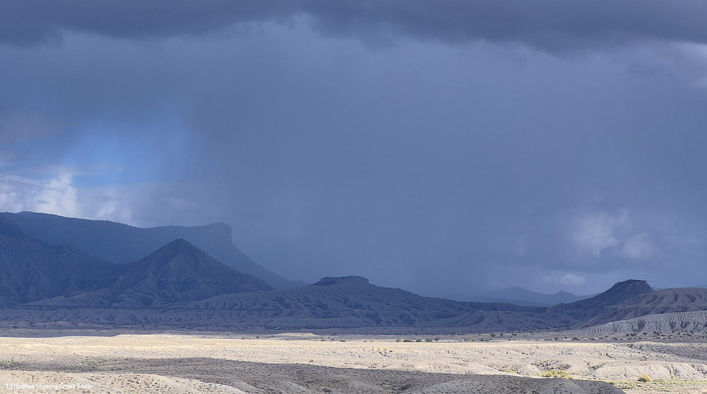
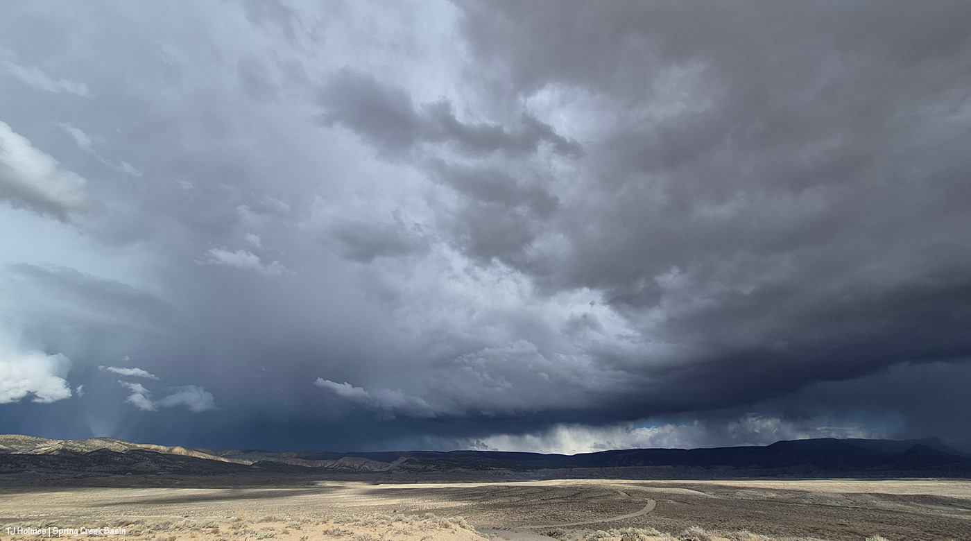
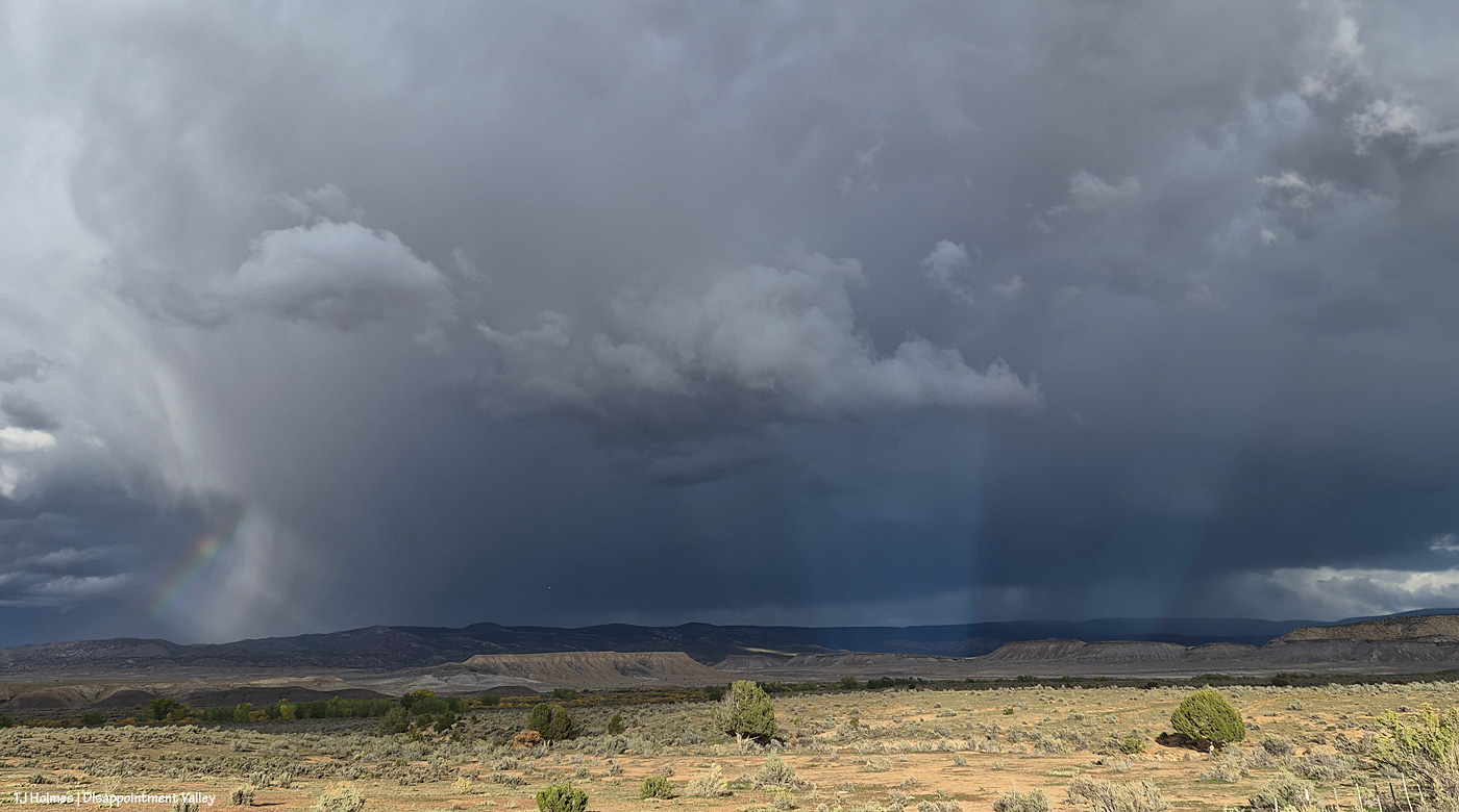
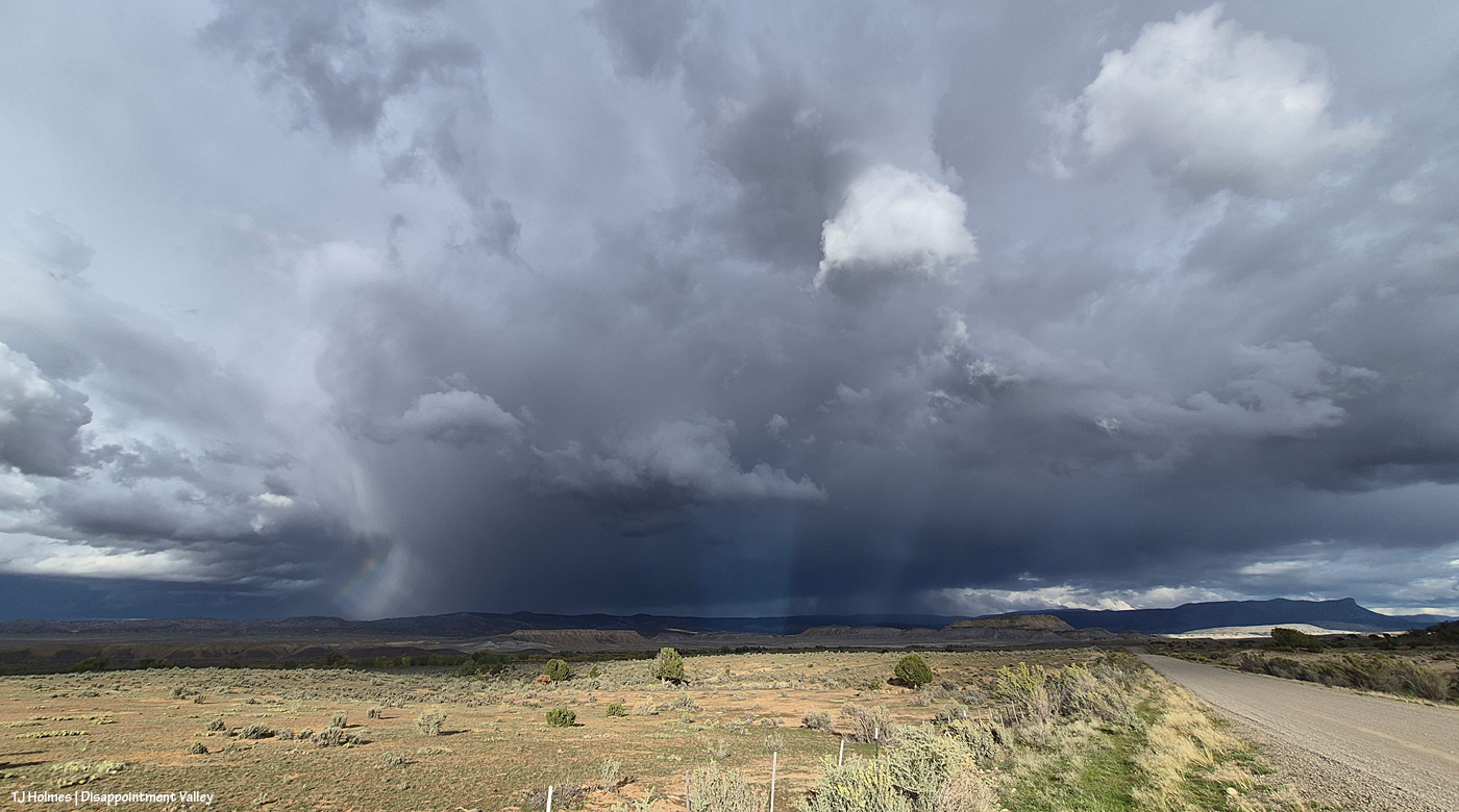
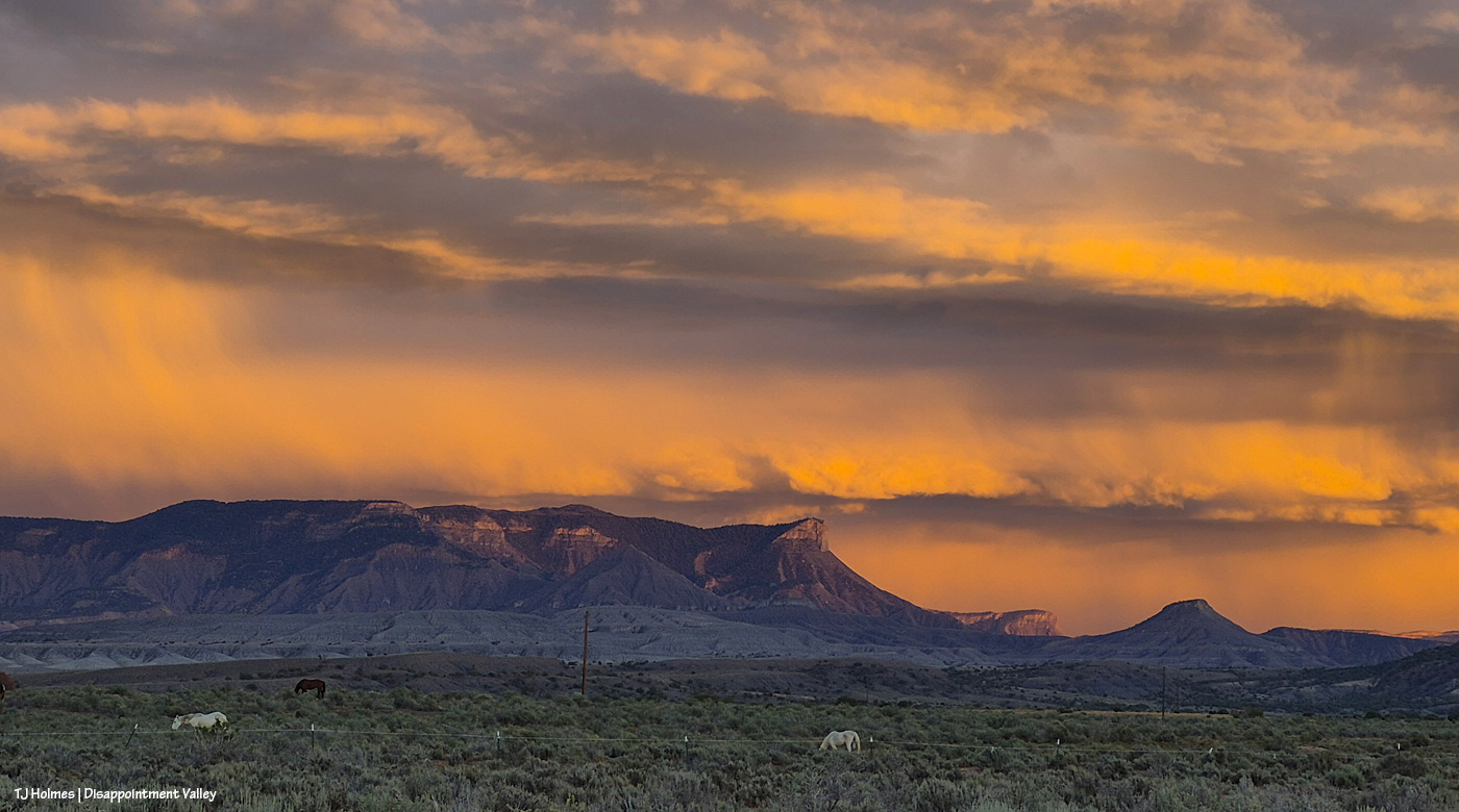
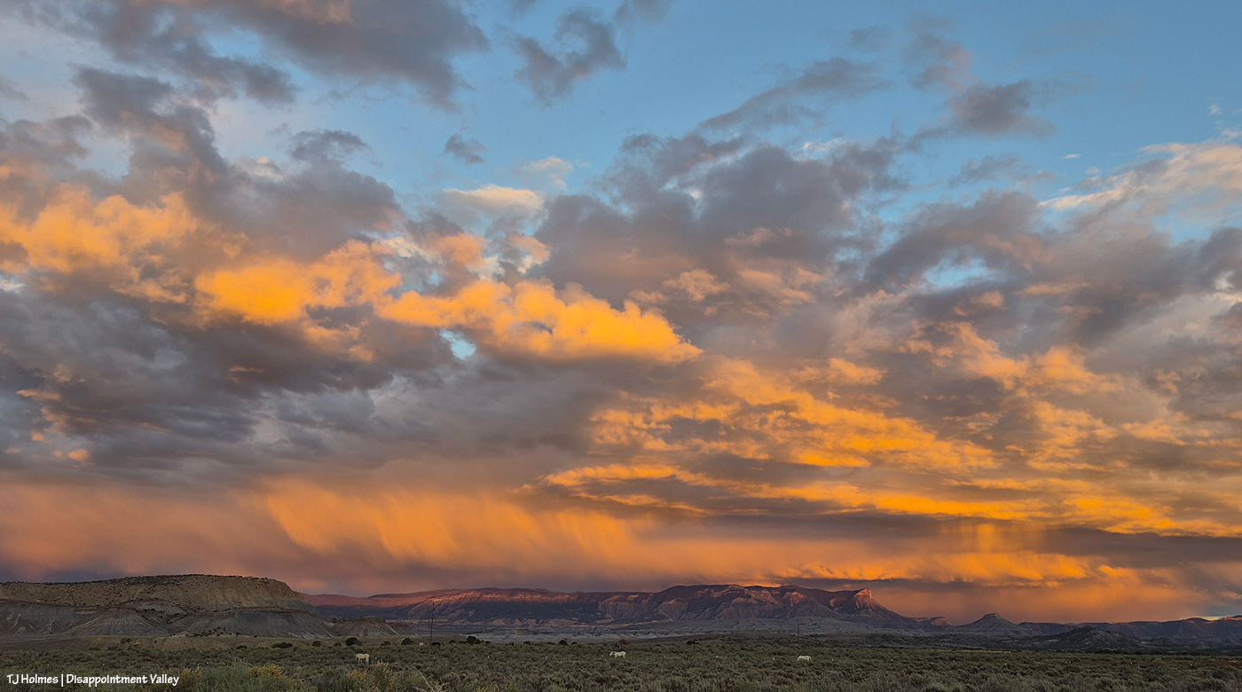
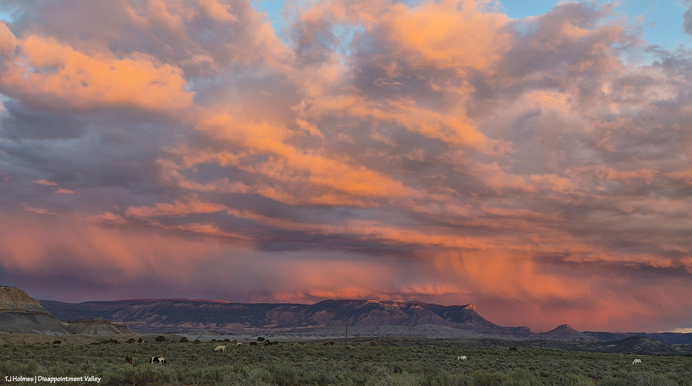
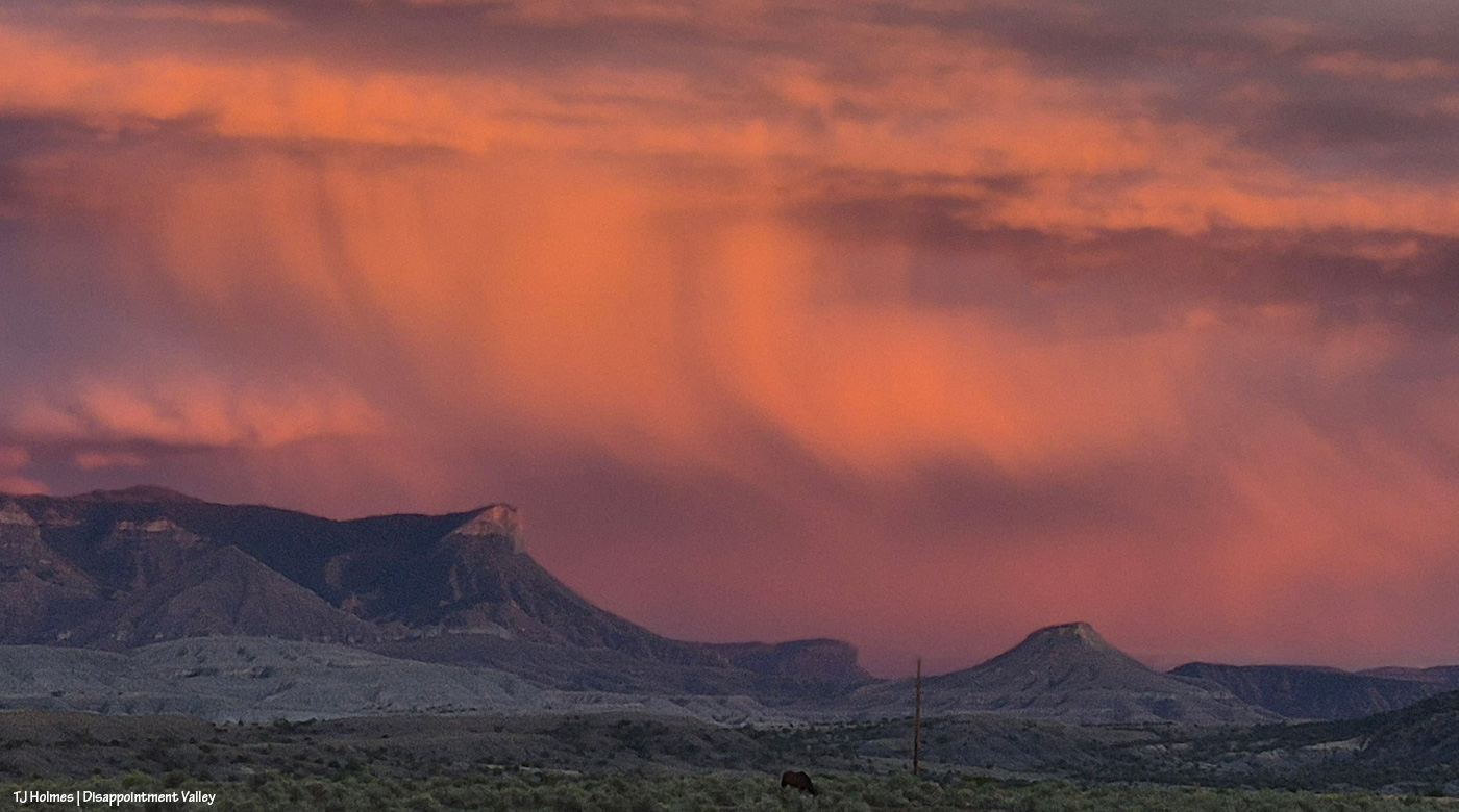
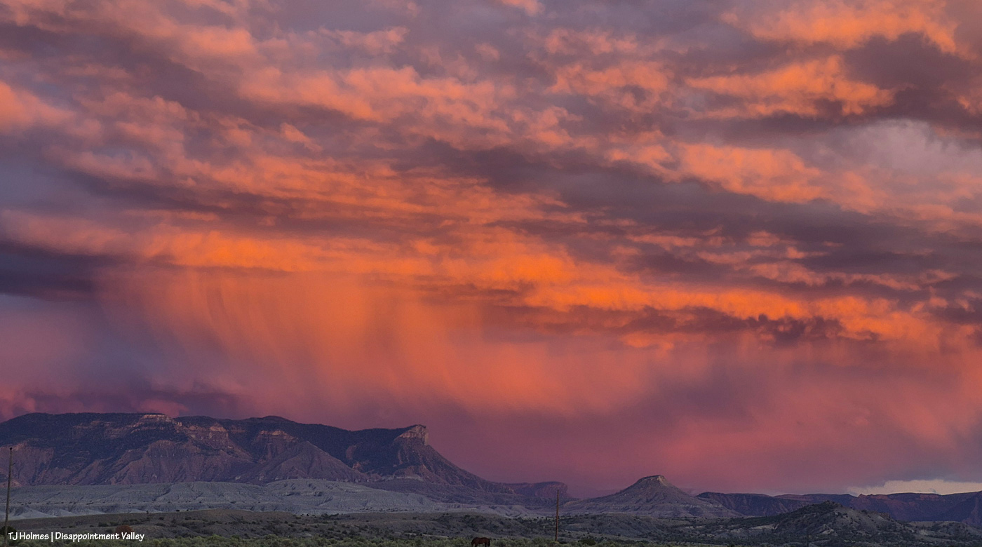
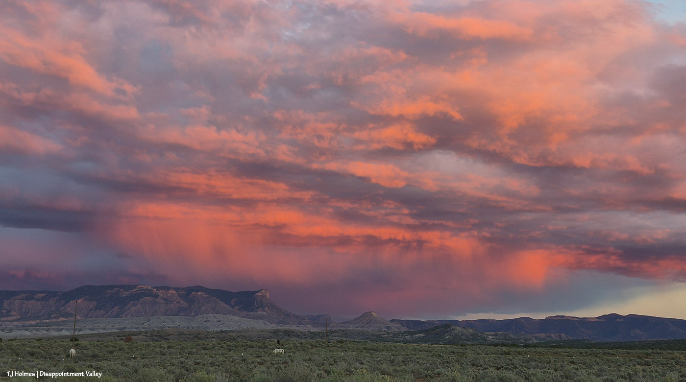
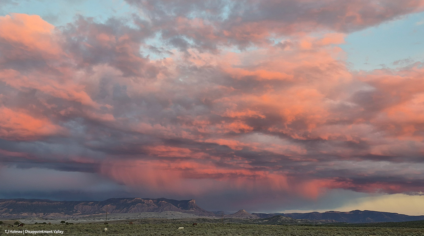
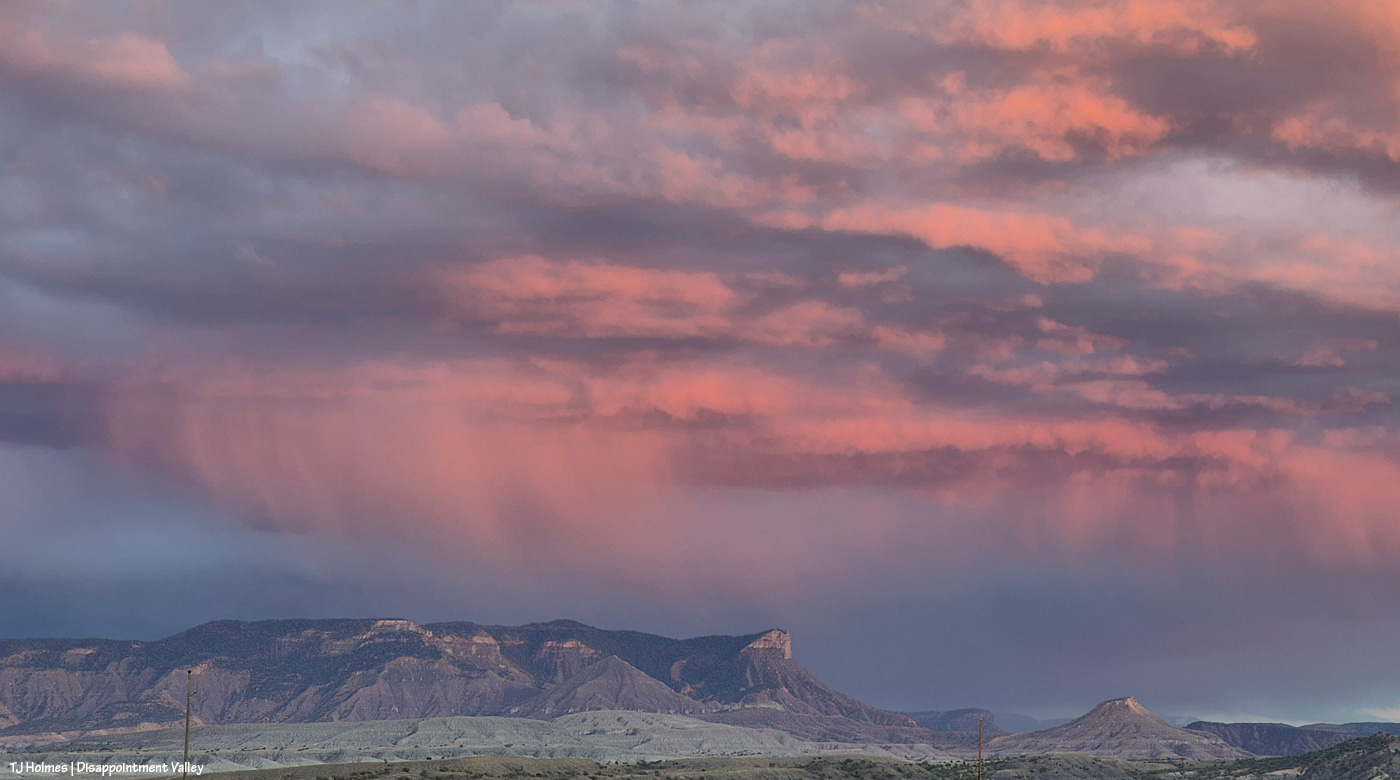
This is what nearly 2 inches of rain looks like

23 10 2026

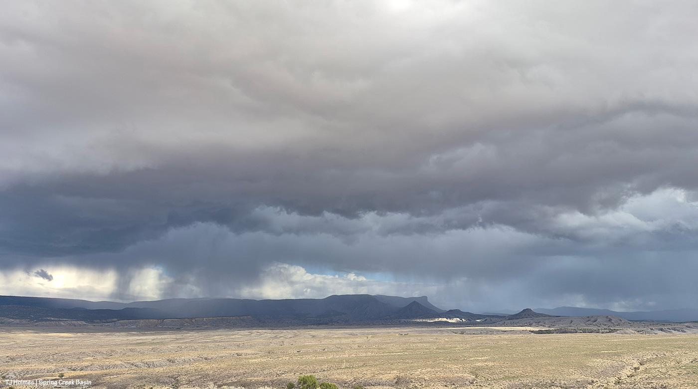
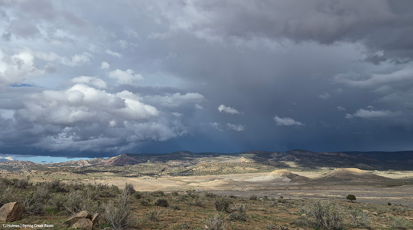
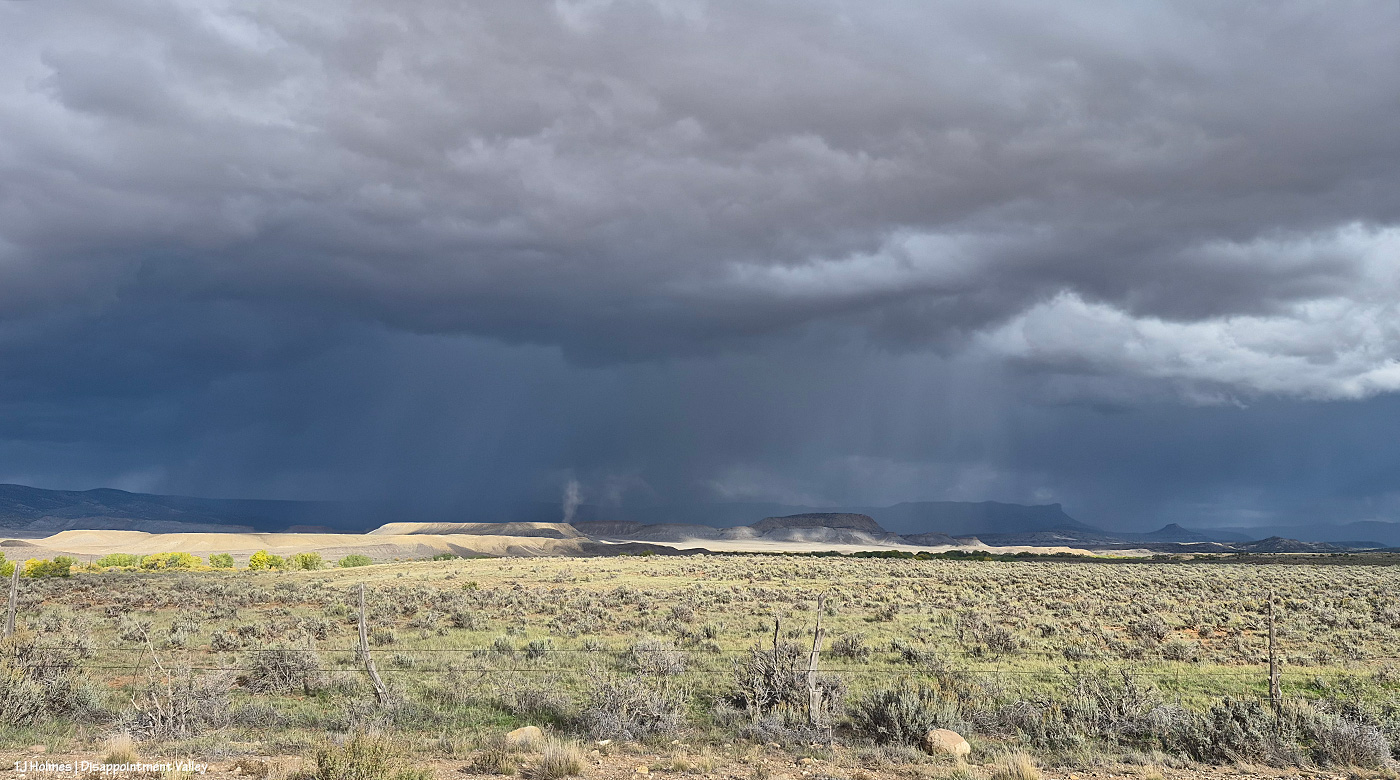
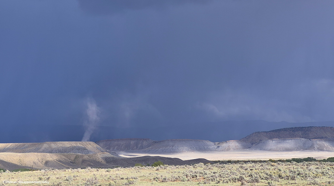
Well, I’d planned to have another sunset-glowing mustang for today’s post, but that had to be postponed for the below post. I’ll try to update the amount of rain, but as of about 3:30 p.m. Thursday, we’d gotten at least 1.97 inches. For those of you in rain-rich areas, that’s, like, potentially MONTHS worth of rain here in Disappointment Valley, Colorado.

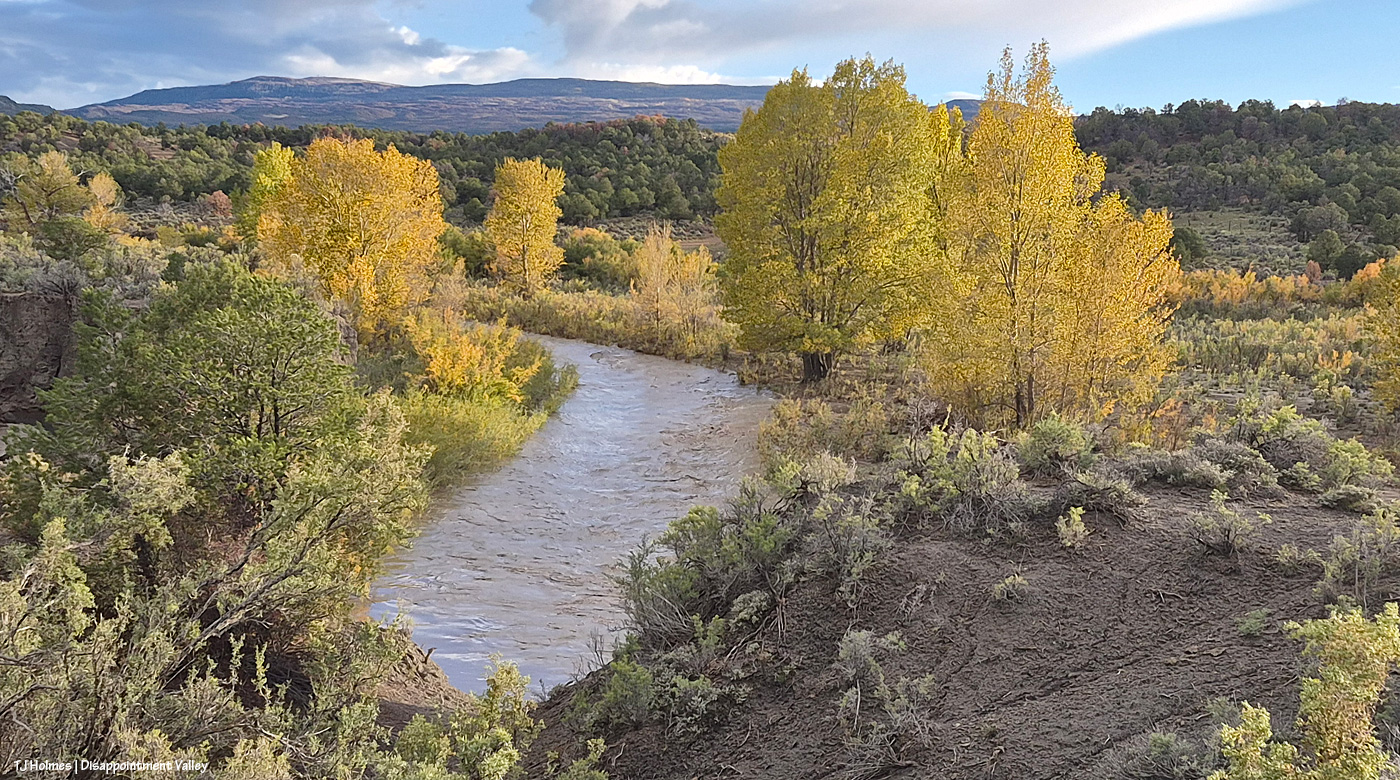
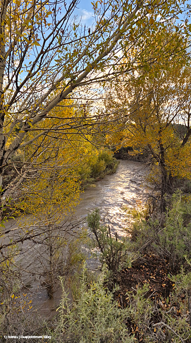
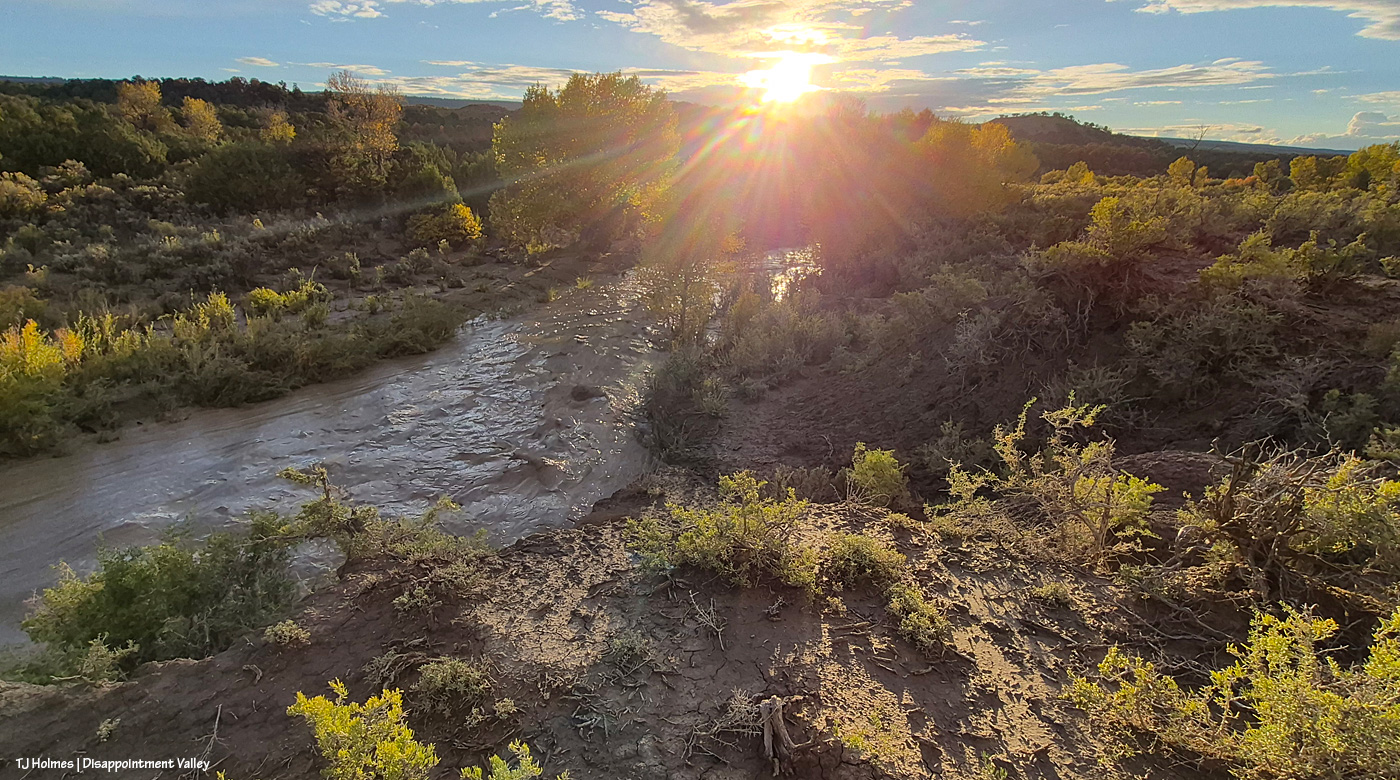
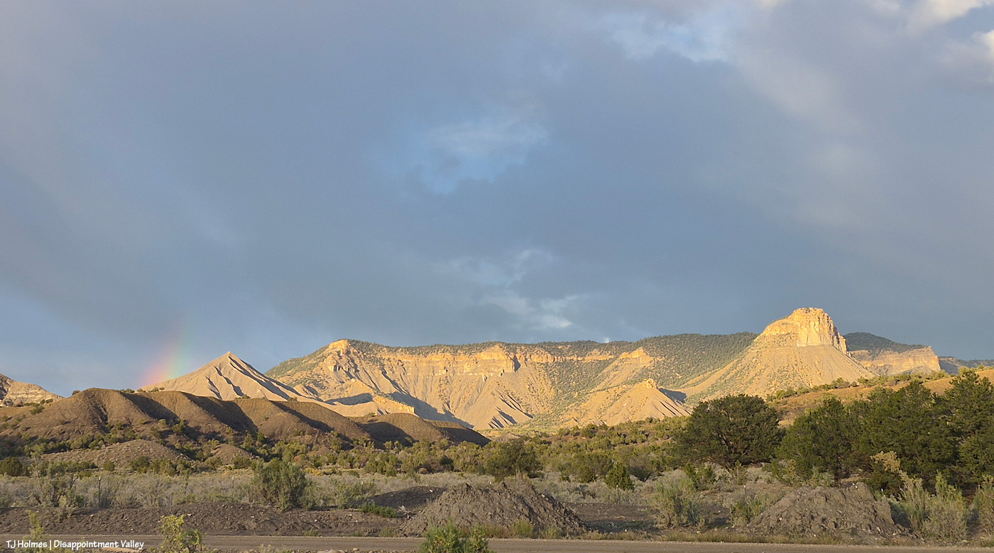
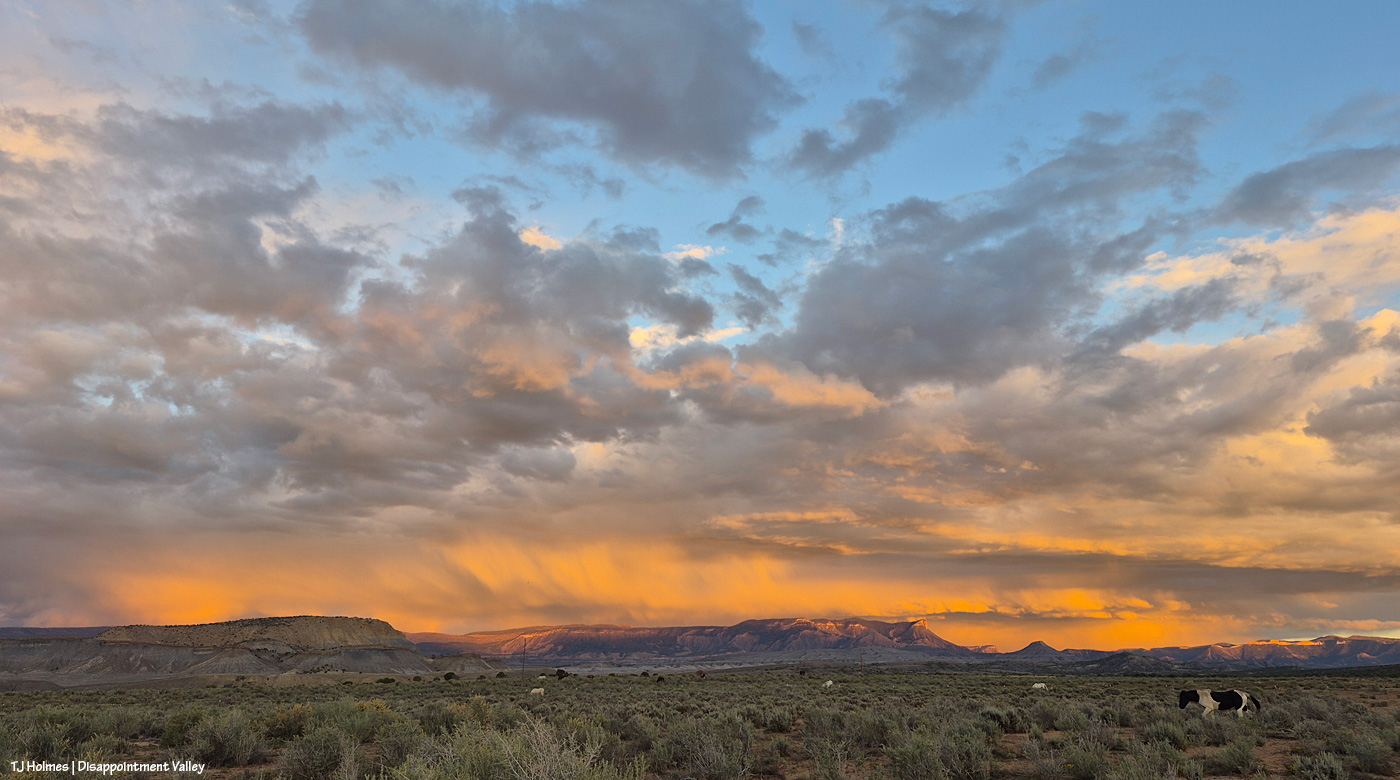
There’s not a lot of sky color in the below pix, but there’s some gold in the way of cottonwoods more yellow than they were a few days ago.

Try to imagine the NOISE of an immense amount of water rockin’ and rollin’ and bustin’ its banks, and enjoy! (Oh, and while I was starting to process pix, um, we got some color …! 🙂 *wait till the end*!)
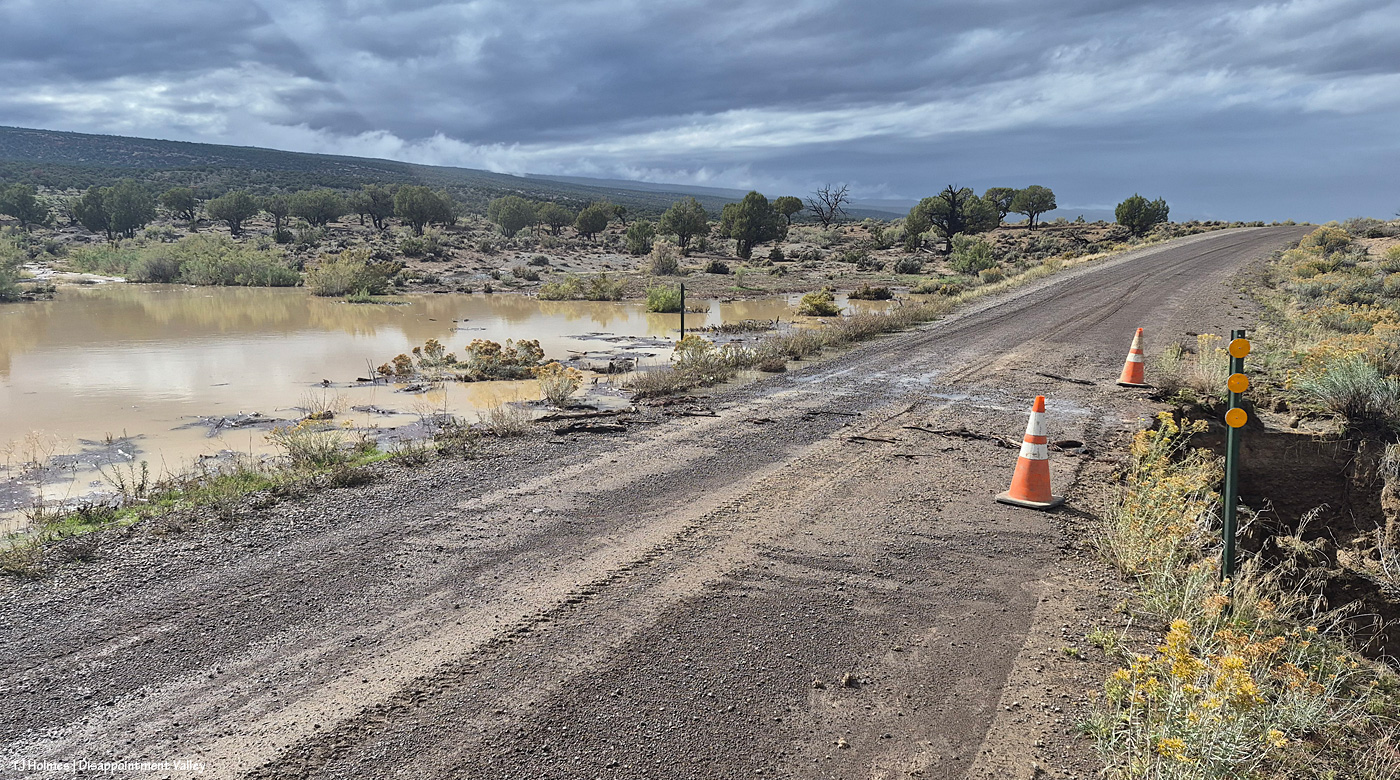
Well, THIS is interesting. I came from the west, which is the direction I’m looking in this pic; I drove past the bad place and walked back. So on the left/south is a pond that’s not usually there (!). And on the right/north, the continuation of the drainage – much deeper/broader/bigger – down to Disappointment Creek. If you’re paying attention from last time, that might confuse you, when the creek was south of the road. At this part of the valley, it has crossed under the road a bit up-valley of this location, and now it’s running west, north of Disappointment Road, which, here, runs northwest-to-southeast (or vice versa). The road eventually runs straight north to the highway, and Disappointment Creek runs under it again. If that’s completely confusing, well … here’s the map of Spring Creek Basin, which shows the area around it, but I’m not sure it’ll be more helpful?
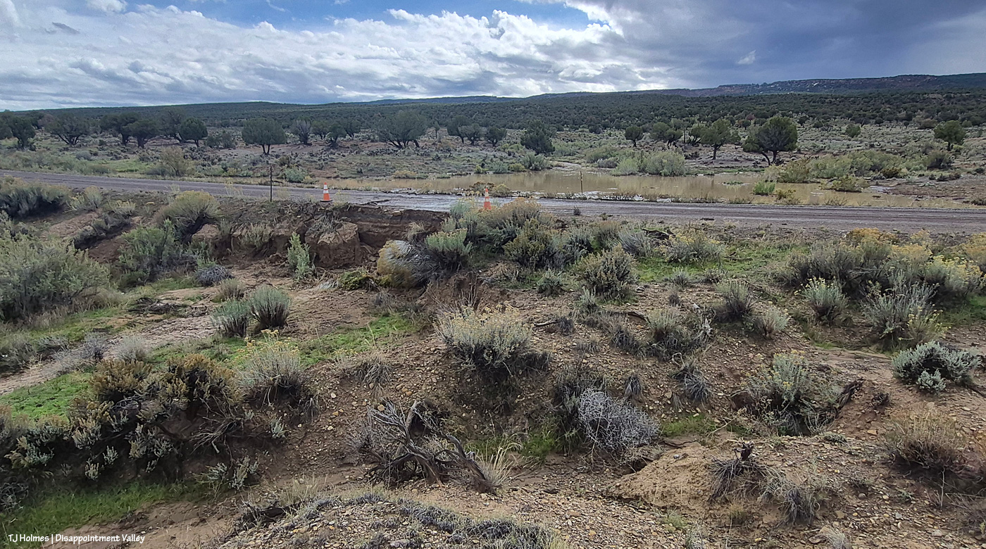
Now I’m at the fenceline, trying to get a bit higher for a better overall view, looking south.
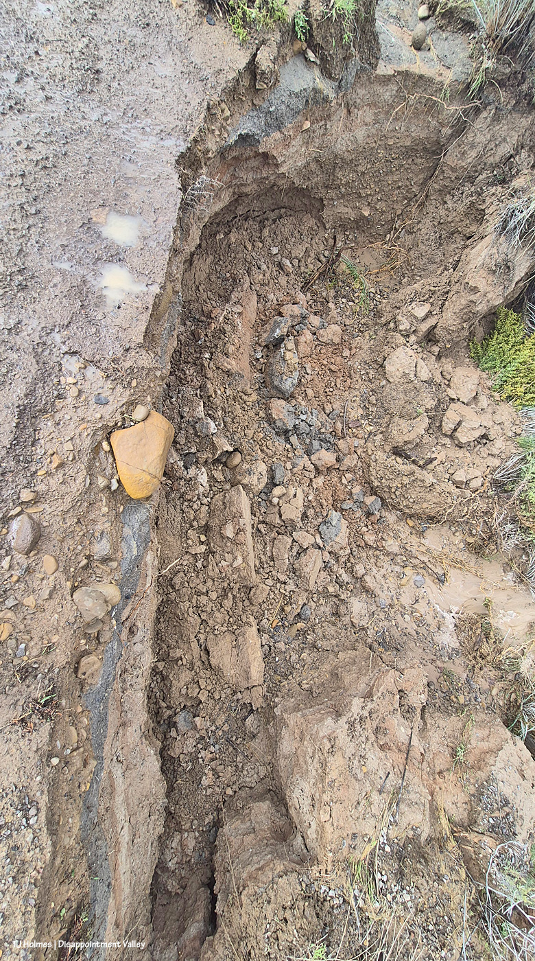
The road is wet and actively crumbling (this was probably around 2:30 p.m.). See the orange rock at left? It’s just on the edge of the road.
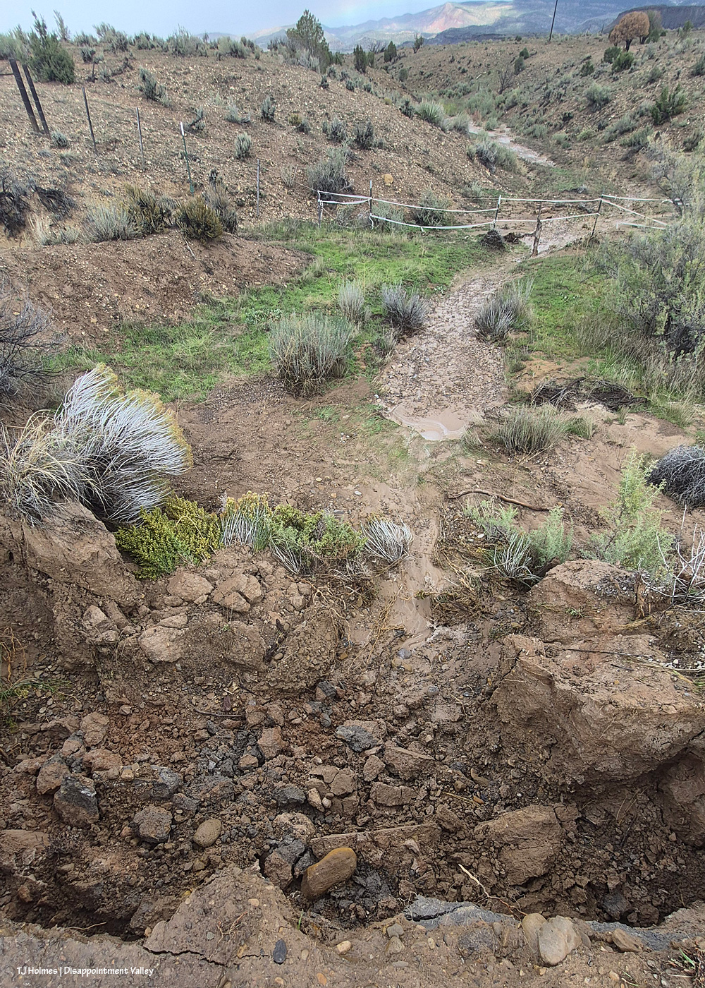
See the rock at bottom center? That’s the same rock, about 10 minutes later, down in the bottom of the hole after it slipped off the road from the water-caused crumbling.

If you’re driving in/out/up/down Disappointment Valley, take more than the usual care! For locals, this is maybe almost to the 9 mile marker.
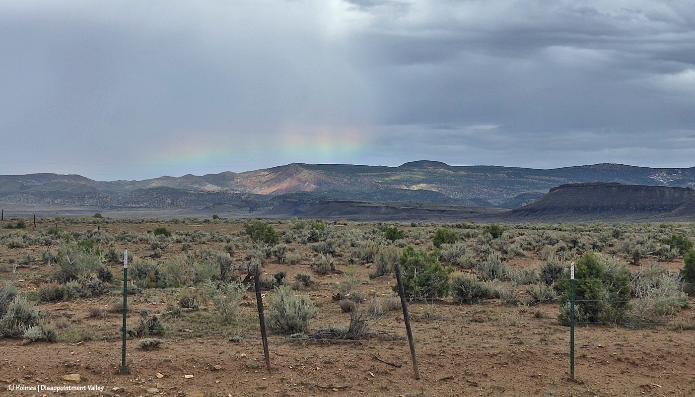
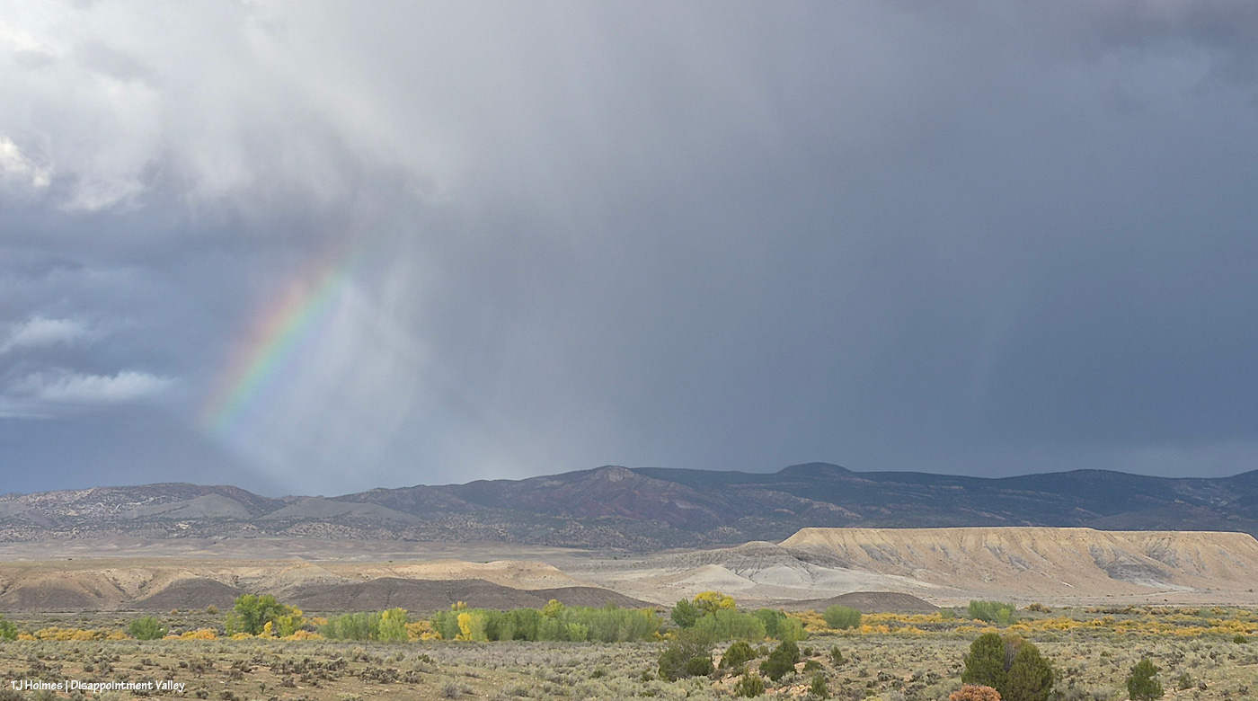
Just as I was driving on up-valley, then, that little bright bit of loveliness caught my eye. Have you ever seen such a low bow?
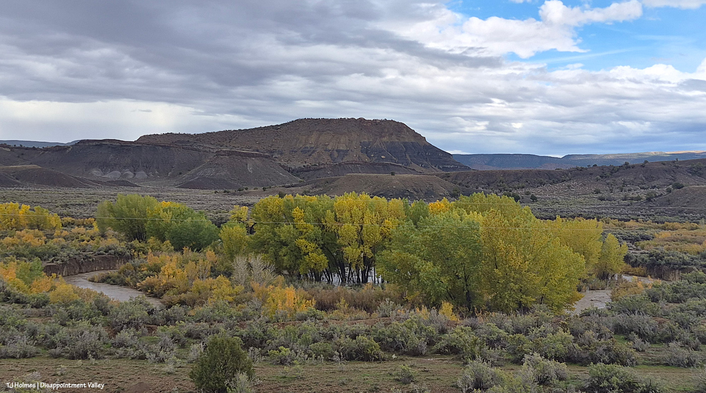
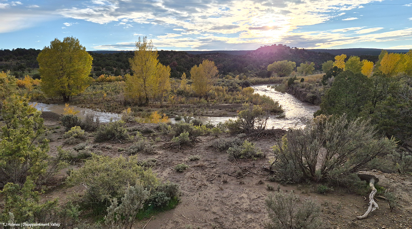
Usually, Disappointment Creek makes a big half-circle around that stand of cottonwoods. Usually, the cottonwoods are not standing in water (floodwater or otherwise). Usually, there’s no water in the creek bed. Usually, even if there IS water, you can barely see it from the road. THAT is a lotta water, my friends. It’s flowing downstream from right (southeast) to left (northwest).
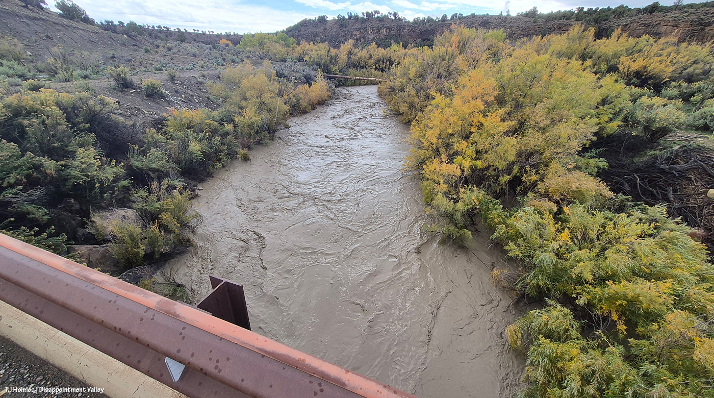
Holy moly high water. This is looking upstream – the water is flowing toward me as I stand on the road/bridge looking south. The water is WAY above and wider than its usual banks. That’s also BLM land.
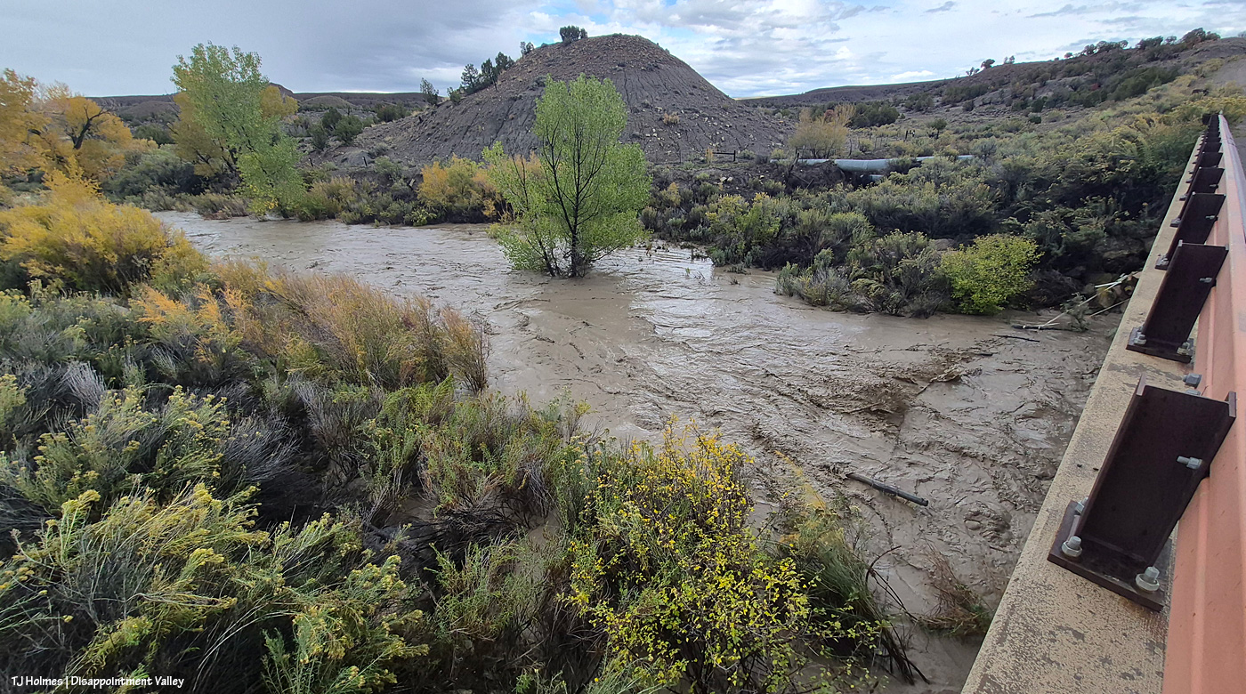
And on the north side of the bridge, the water is, well, rollin’ like a rollickin’ river. I’m actually looking eastish/northeastish, and the basin is the farthest land you can see on the other side of that weird knobby hill above/behind the green cottonwoods. Here, though, the creek is running into private property. That clump of green cottonwoods in the middle of the pic is NOT usually in the middle of the creek. It’s not usually in the creek bed at all. The half-moon thing at right, under the bridge, is the very sad “water-gap fence.” A friend and I fixed it a year or so ago, and it was in good shape then. … I think it’s gonna need some more work. 🙂
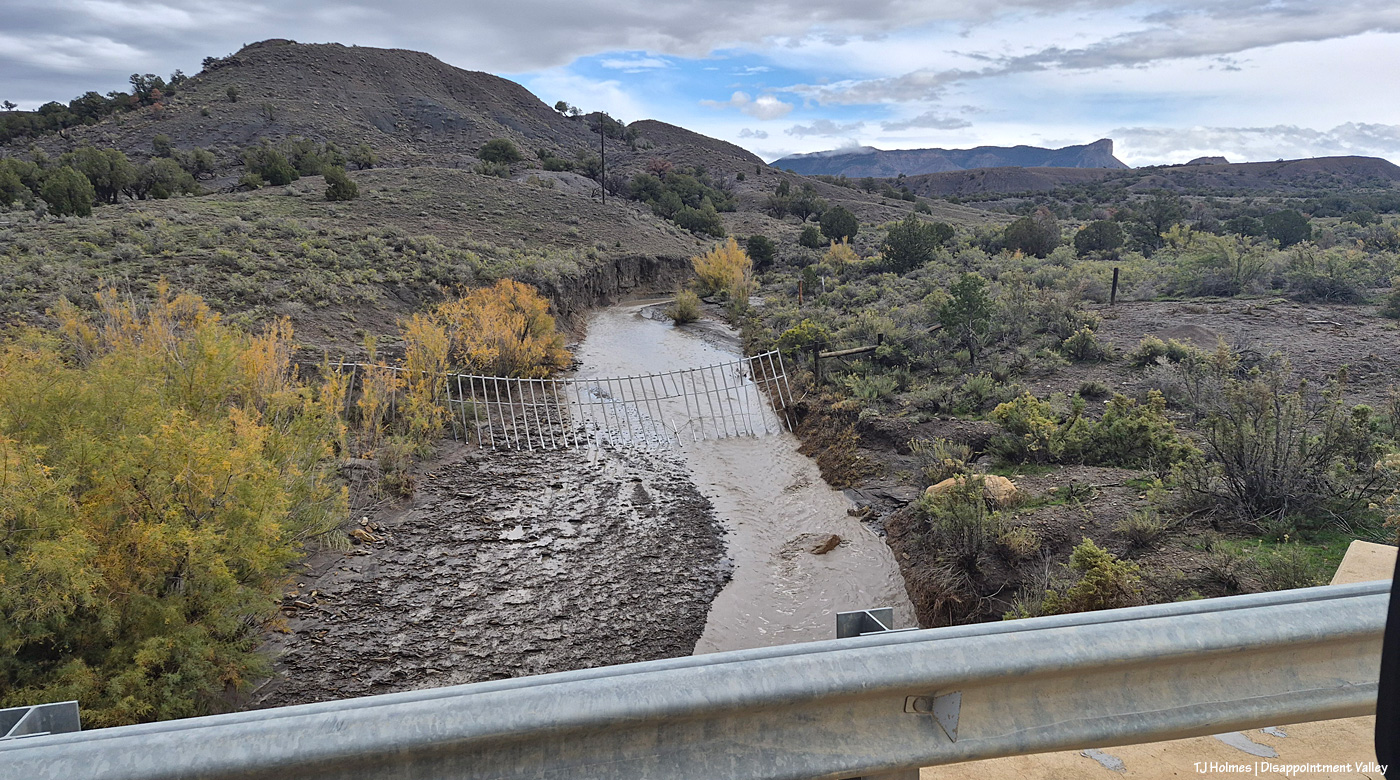
Continuing up-valley, beyond that fence is Spring Creek Basin, and the arroyo is what I call the county-line drainage. The road is going southeast here, so although the county line between Dolores County (south) and San Miguel County (north) is east-west, it doesn’t cross the road that neatly. In any case, water from this arroyo flows straight into Disappointment Creek, which is behind me, south of Disappointment Road here. Disappointment Creek does NOT flow through Spring Creek Basin at all. And that’s what a fairly decent water gap is supposed to look like (minus the broken piece of PVC in the middle). The idea is that the poles flow with the force of water but discourage cows from getting through into the basin (or horses from getting out). I will tell you that it works much better on the horses than it does on cows.
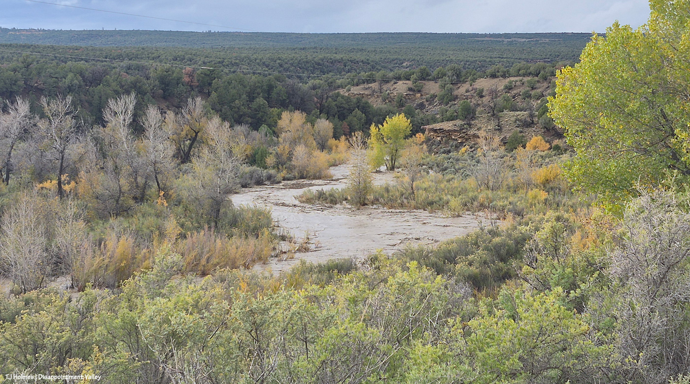
Disappointment Creek just absolutely flooding, running downstream. This is on the south side of the road looking southish … maybe a bit southwestish.
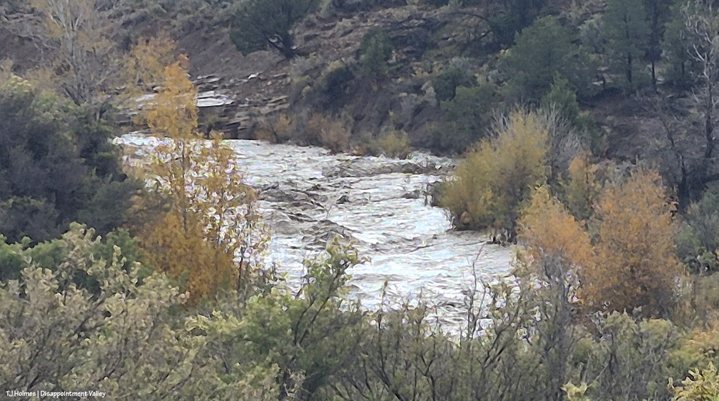
I’m in about the same place for this one, but now looking upstream to the left (water flowing toward me). Zoomed in, which is the reason for the painterly look. But just look at those waves! Big rocks under that water.
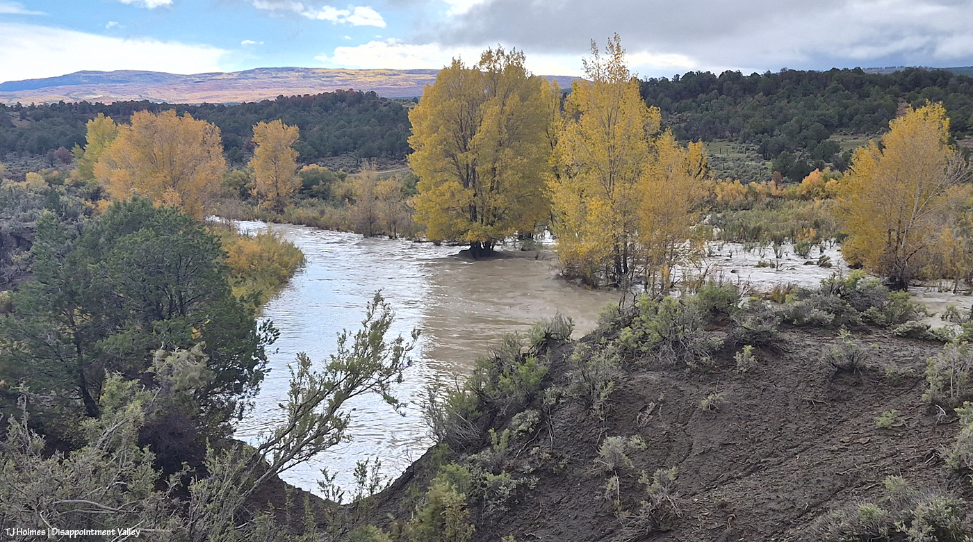
Do the trees look more gold? This was just three days after the pix from the big photo post. And look way out yonder to the Glade. 🙂 Gorgeous (that gold is aspen).
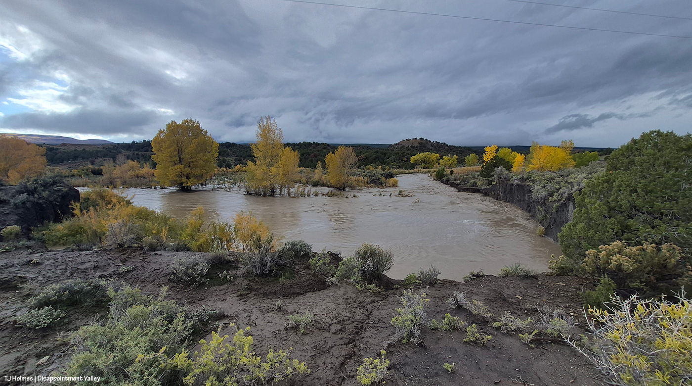
No, that’s not a pond. 🙂 A pic from just about this same spot was in that earlier post. Wow.
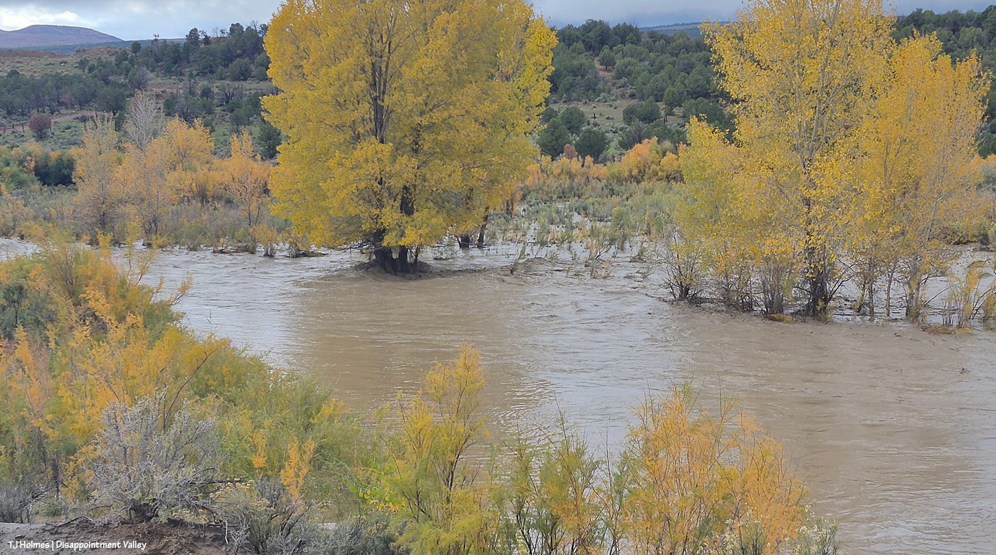
I hope those cottonwoods are taking up a lotta, lotta water through their big ol’ deep roots.
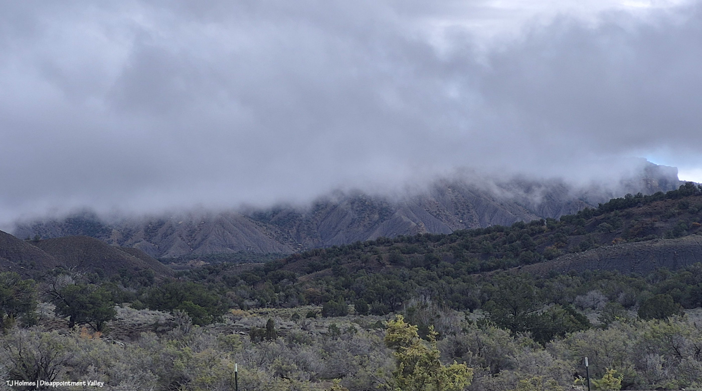
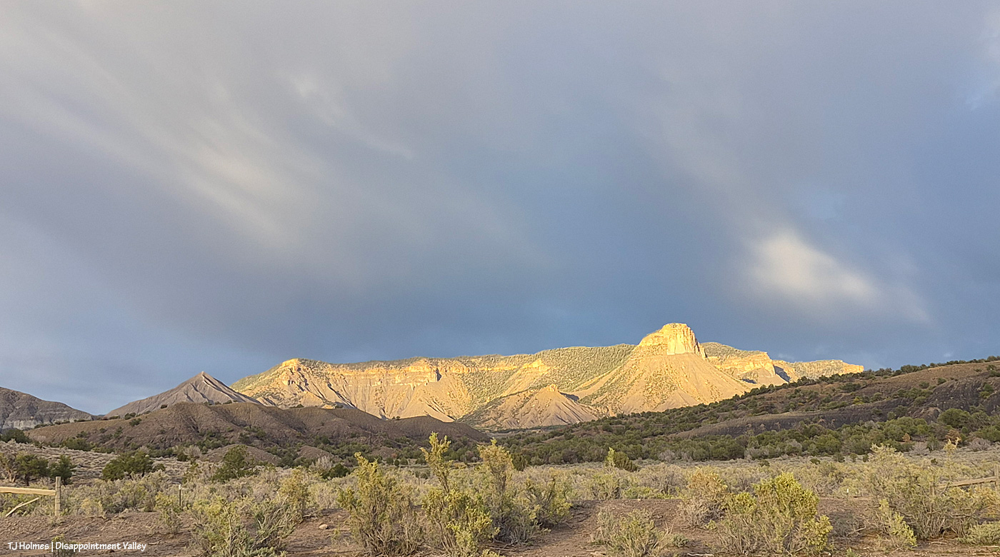
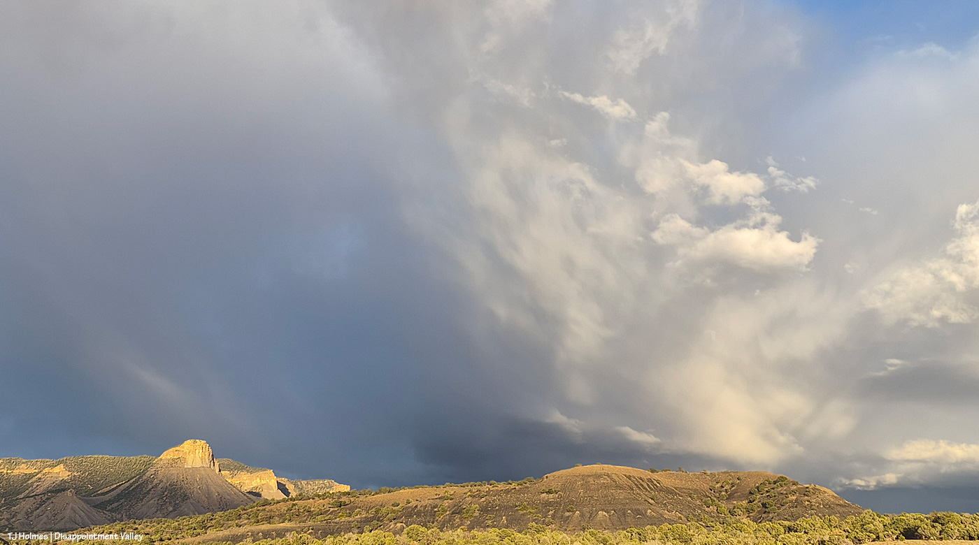
And just a little bit later, I was up at Black Snag Road again. Do you wonder about this pic? Well, um, Temple Butte is there … in that CLOUD. There’s a pic from this spot (basically) in the earlier post, too, with Temple Butte glowing golden in sunlight.
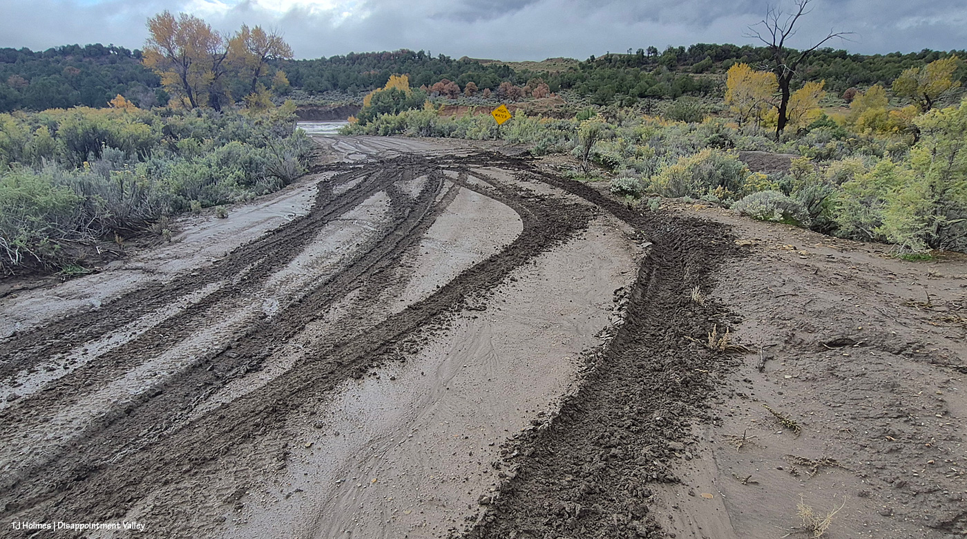
Oooopsie. Important note: THOSE ARE NOT MY TRACKS. I’m not that crazy. 🙂 Disappointment Road isn’t too far behind me; ahead of me … do you see the creek already?
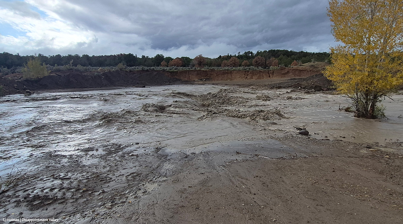
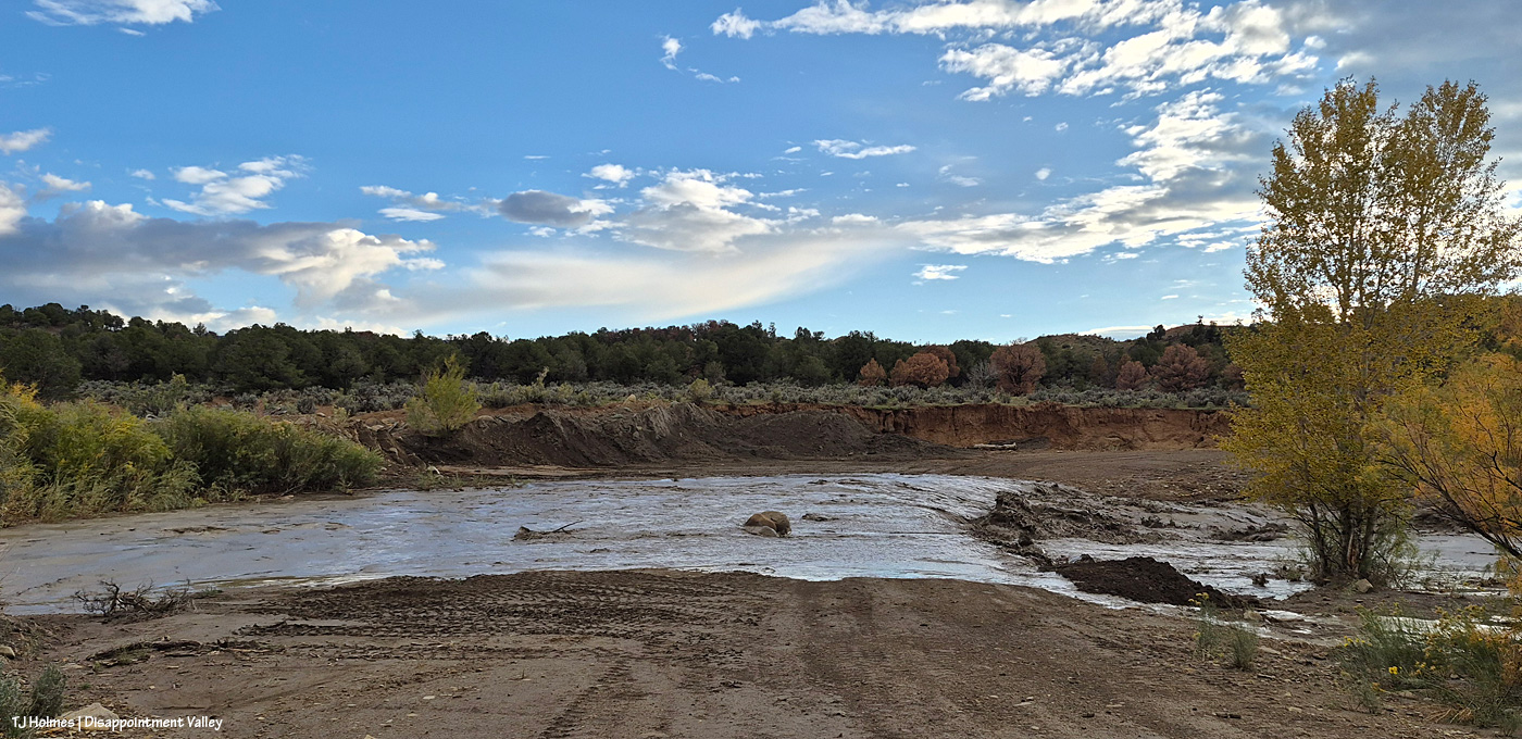
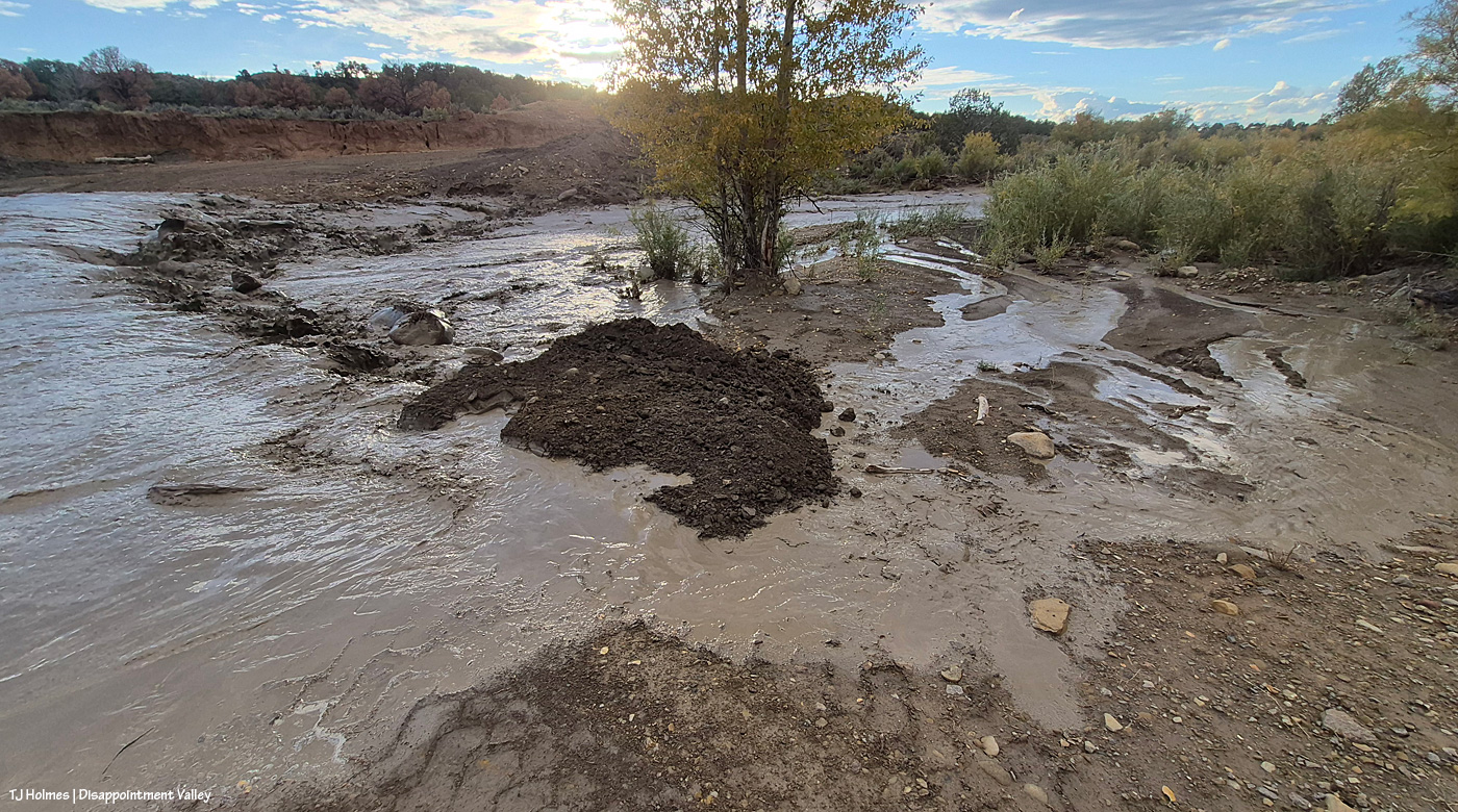
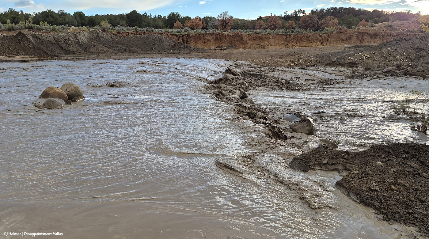
Remember what this looked like before? It’s really hard to convey the scope of the water in a still image. Remember the pile of dark dirt? Yeah, that’s gone.
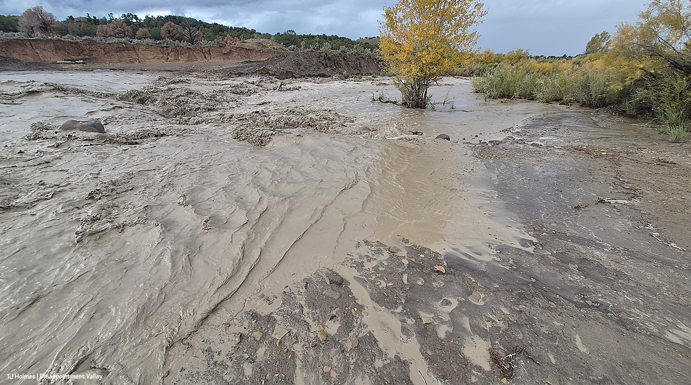
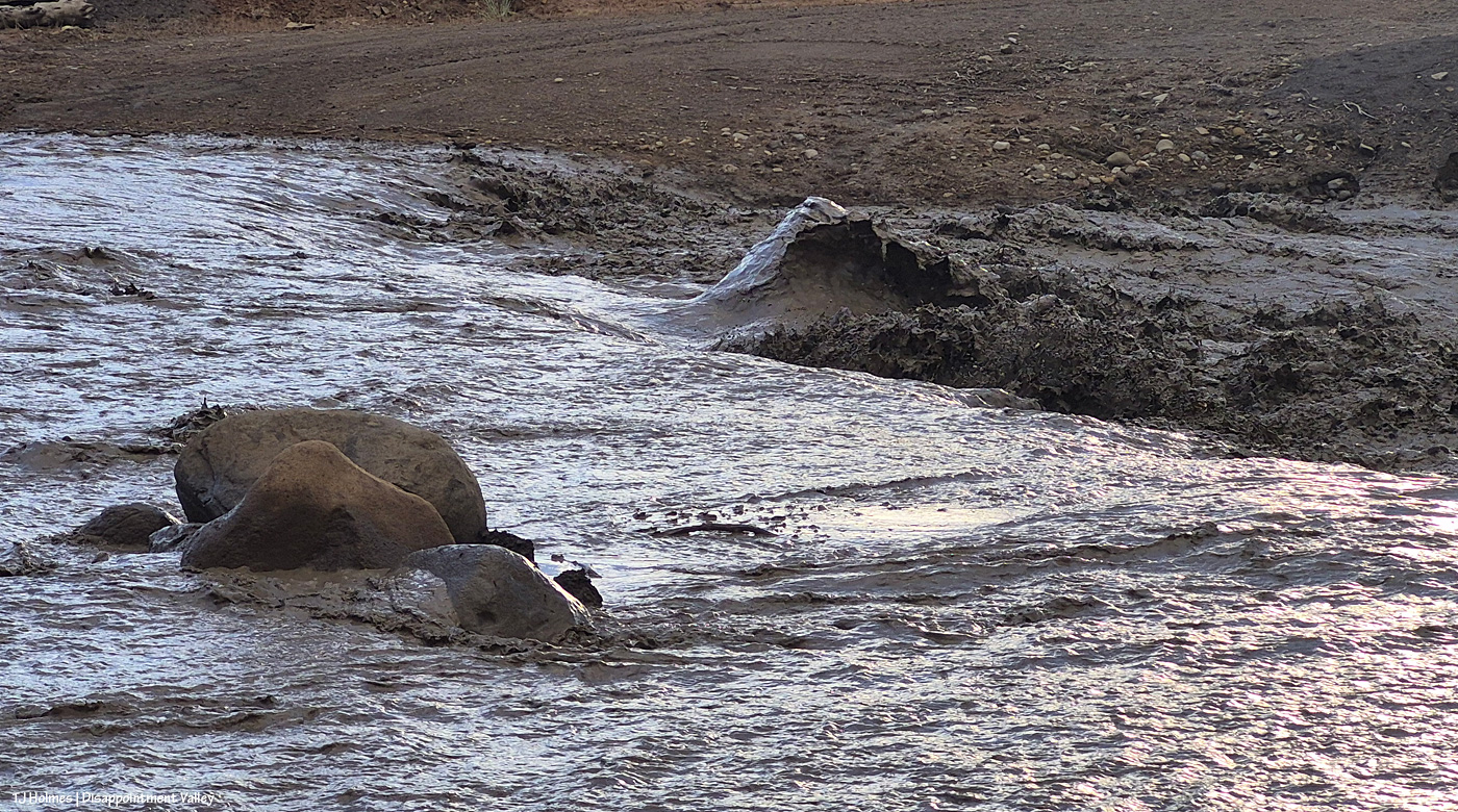
Remember the rocks? I’m sort of astonished that they’re still there. … But I think you can tell that the road is basically now gone. But look across the creek (I mean river) at the darkish dirt – see the erosion? That’s from THIS recent flooding. The road goes up between the red-dirt bank and that darker dirt.
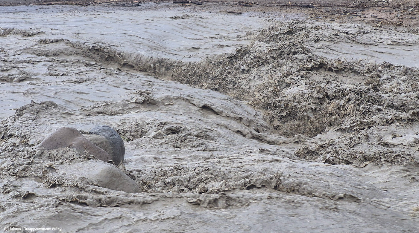
Rock ‘n roll.
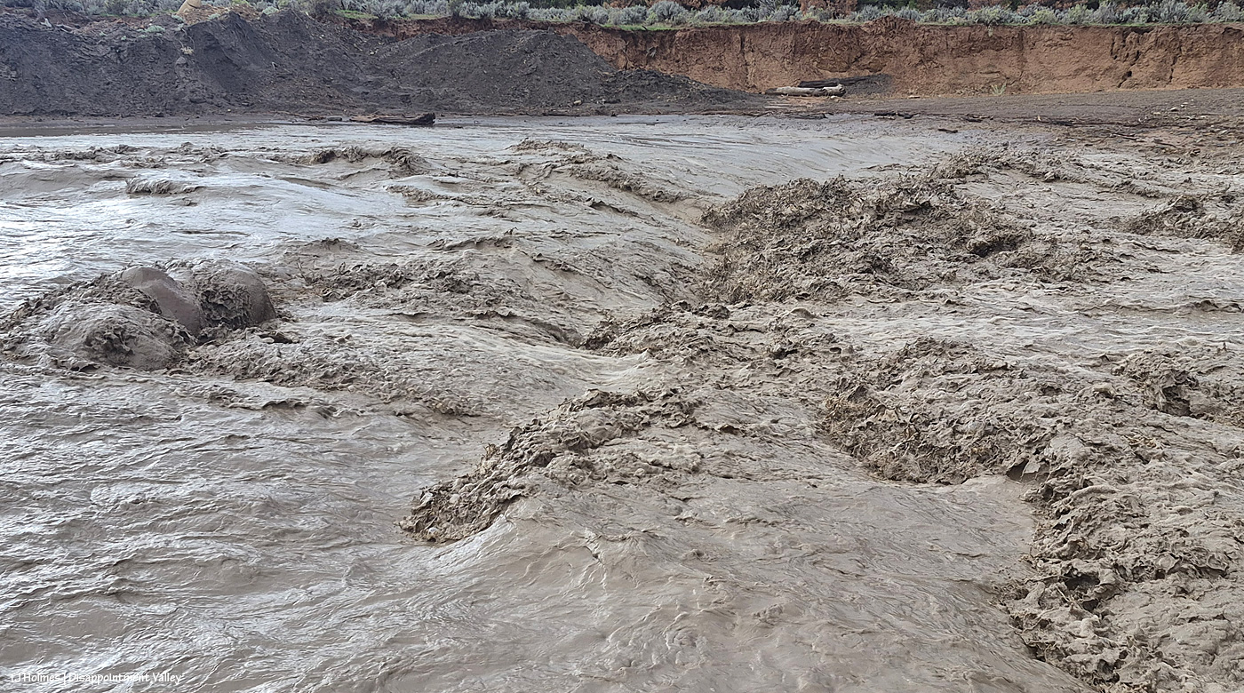
You can see the erosion damage at the far side of the creek (river) better here at upper right. That is not going to be pretty when the waters recede. Pretty awe-inspiring currently!

I’d left the truck at Disappointment Road. Again, I was NOT going to risk getting stuck in the mud, so I didn’t drive down there; I walked! Then headed back down-valley, where I already knew I’d be driving back into the next wave of rain.
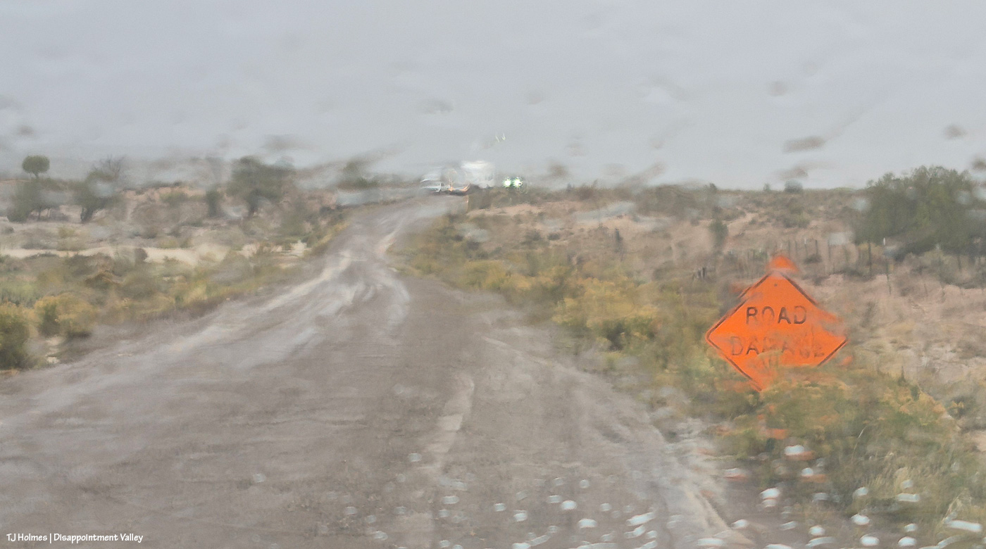
Painterly effect now caused by rain on the windshield between wipes. The road damage from the beginning of this post is between me and the oncoming vehicles. The folks in one truck came out Tuesday, when the road was dry. … Family members were hauling the camper and following, and they were consulting about the narrowed road. They didn’t have any trouble driving past the area, but I can’t help but wonder how they fared trying to park the camper farther up-valley.

And that was it. … Or was it.

You know that saying about the fat lady? I wouldn’t presume to know Mother Nature’s proportions, but Mama sings loudest and last. 🙂
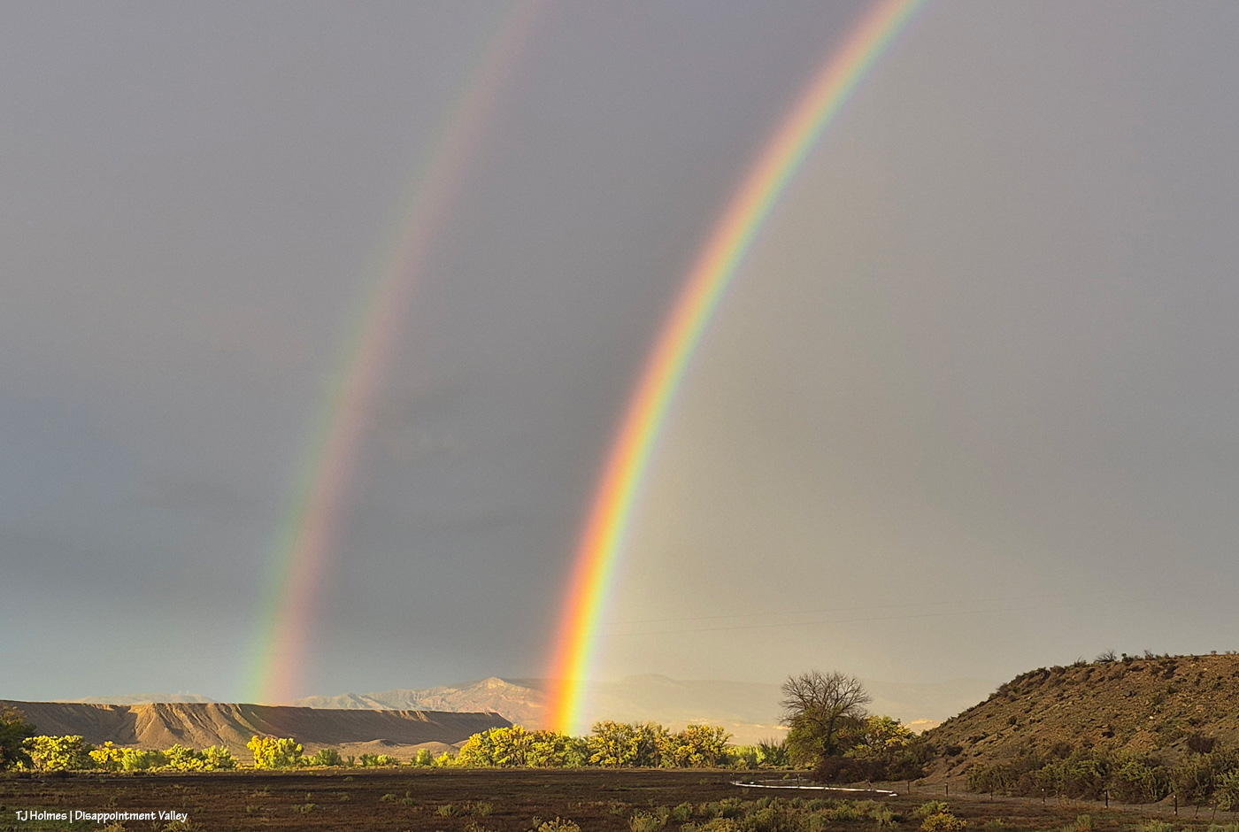
Yes. She. DID!
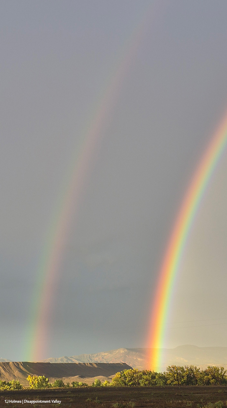
Sing, Lady, sing.
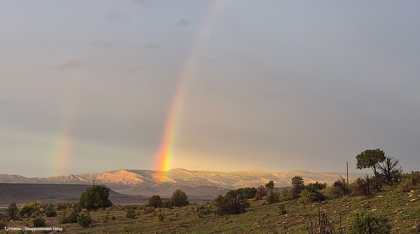
I can’t make this up, and I wouldn’t know how to make it AI if you paid or threatened me.
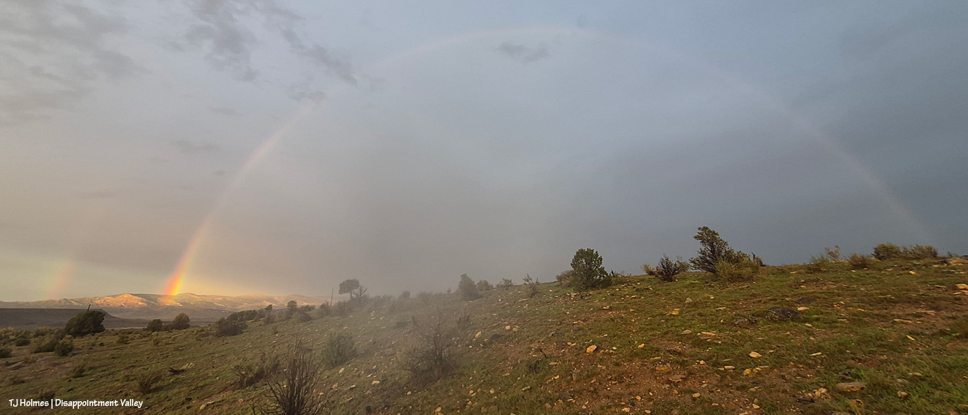
Love. 🙂

I don’t know the final tally as of about 9:30 p.m., but as of about sunset (which was the above!), we were sitting at about 2.36 inches of rain since about 8 a.m. Wednesday, when it started. It is soggy. It is sloppy. It is saturated. Travel is NOT easy (or particularly recommended).

It. Is. SPECTACULAR. 🙂

** Update: The total amount of rain, in one particular location in Disappointment Valley, west of Spring Creek Basin, between 8 a.m. Wednesday and 8 a.m. Friday, was 2.74 inches. I think we didn’t get even that much moisture out of our snow last winter. It’s hard to convey, but that is an *enormous* amount of rain in two days from one system. Happy. 🙂
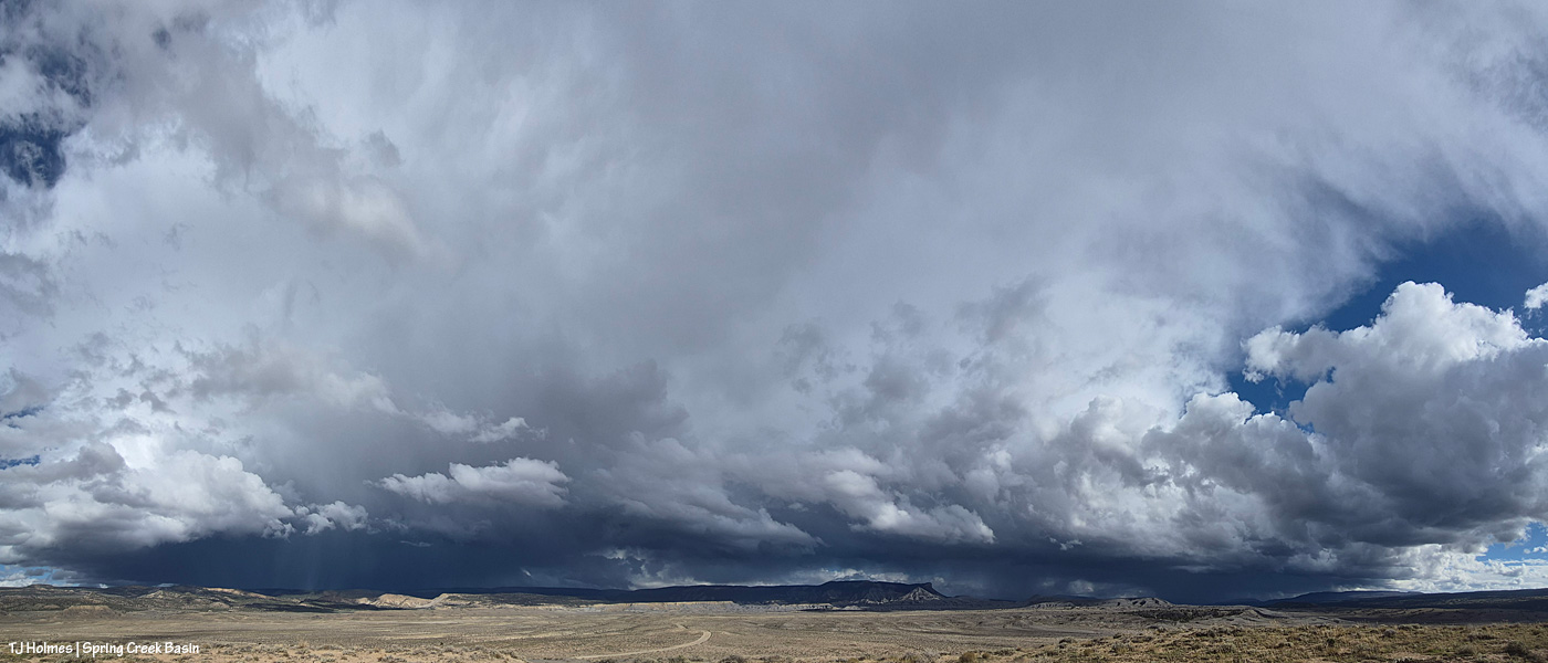
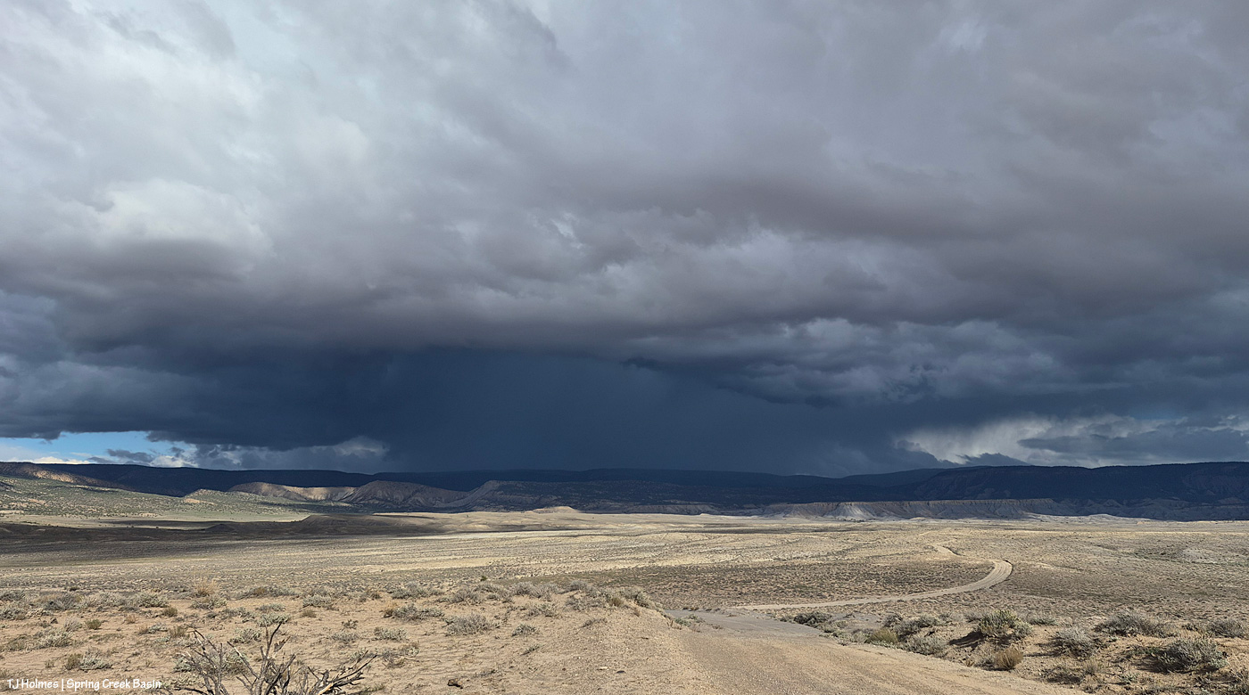
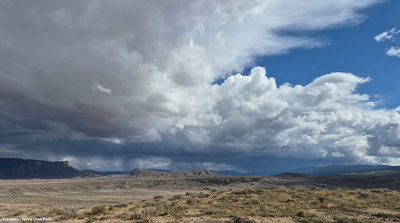
Spectacularity

21 10 2026

In yesterday’s post, I promised for today’s post pix of a fairly stunning storm system that blew up over Disappointment Valley in the mid-or-so afternoon through sunset. This will be a photo-heavy (heavy on the heavy) post. The pix also are all from my phone. The immense scale simply wasn’t possible to capture with my long lens and narrow range of view. A few times, I wished I’d gone to the effort of getting my camera out of my backpack … but most of the time, I was too afraid to miss one second of what was happening, and, again, the sheer width of scale of the storm’s coverage across the horizon(s) was just too, well, wide.

I hate to be one of those telling you to “read through till the end” for the best part, but … well, let me know whether the final pix, of sunset light in the EAST, were worth waiting for.

Onward!

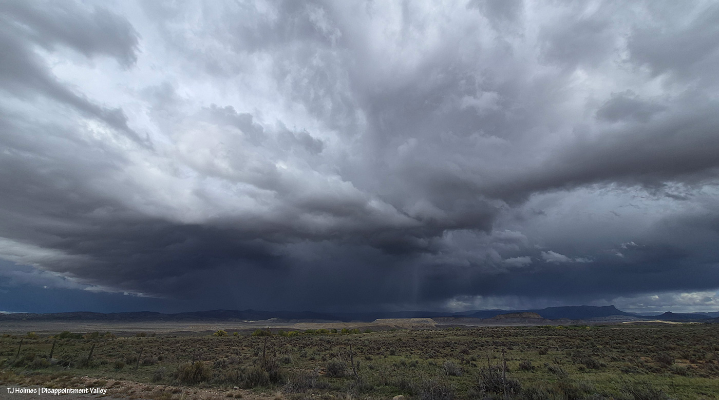
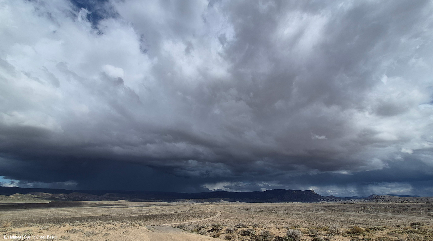
As wide a field of view as my phone can capture, it took four images, stitched into a panorama, to produce this image, looking from southeast at right to north-northeast at left. So if possible, imagine the scene not as a flat, two-dimensional view but as a curved (?) view. The storm definitely was coming from the southeast and moving north (left) … and around/beyond the basin, across the north, to the west? I sat for a long time at the main/original catchment watching it and taking pix as the sky evolved – in sunshine the entire time.

This was the first pic I actually took. There’s a pretty obvious downpour straight ahead, which is basically east-northeastish. It was not raining over Spring Creek Basin at this point, but the clouds were definitely shading the far, whole eastern horizon. Thunder was rumbling now and then, but I never saw lightning. The vast majority of the basin was under sunlight. There ARE mustangs way, way out, at the leftish side of the image.

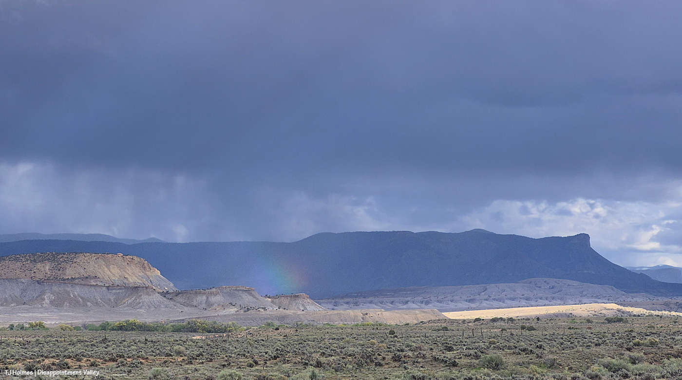
A little more detail of the rain running across the landscape from near/over (?) Benchmark Lookout (at the leftish side of the dark hump of “hill” at far right) across upper Disappointment Valley and beyond Temple Butte (the edge of the promontory is just spotlit by a bit of sunlight).

And swinging a bit more to look east.

Meanwhile, a lighter rain system was moving north to the northWEST. You might be able to make out Utah’s La Sal Mountains through the curtain of rain (way) beyond Spring Creek canyon.

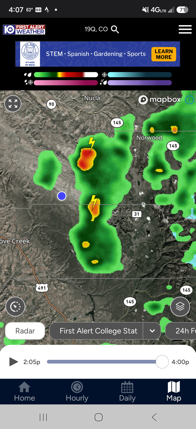
This is roughly what that looked like on the radar (a little delayed, I think). The blue dot was me, in the middle, in the sunshine. 🙂
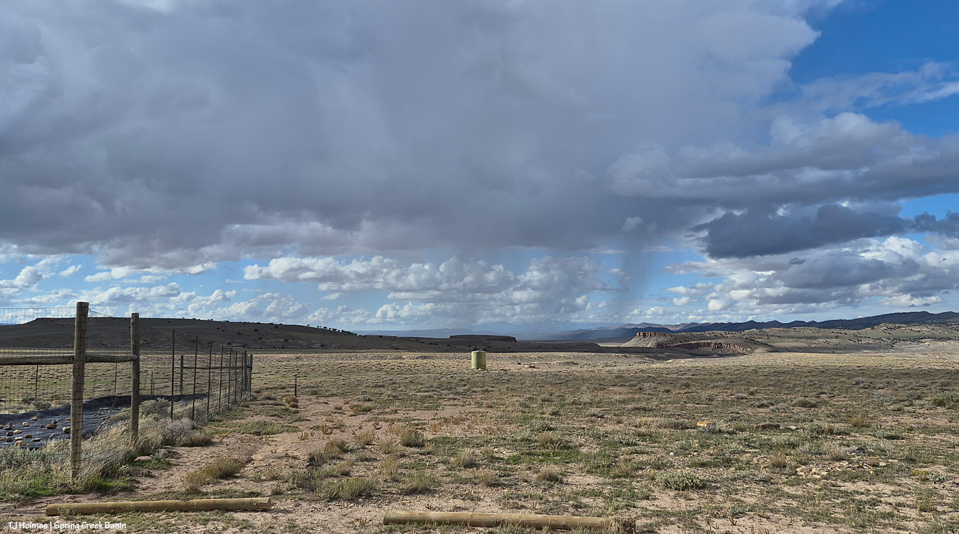
There are the mountains; see ’em? I think the rain was moving across lower Disappointment Valley and maybe/probably not quite as far west as Utah. I’ve been in the same place taking all these pix (I sat there for quite a long time): at the road by the fenced-enclosed aprons that catch rain (and snow in the winter) and direct that water down to the 12,000-gallon green steel tank … and from there to the main water trough you can see downhill and to the right of the tank. (The farther, smaller, black trough is wired off because it’s a lot smaller, and darker, and the horses don’t prefer it. The big trough is the main trough. You can’t quite tell from this distance, but it has a triangular metal cover over it that enables the horses to get to the water and also helps prevent evaporation (or better than it would be if uncovered).)

And looking southeastish again. Apologies (not really) for the redundant pix … but this is one of my favorite views in the whole, great, wide and wild world … especially when it includes rain!

See how DARK it got to the northeast? Again, that’s beyond Spring Creek Basin – at least at this point (spoiler alert). But see that lit “column” of rain? Wild? I spent a lot of time and phone space taking pix of that cool thing as it moved with the storm system across the northern horizon toward the west (and I was in sunshine all the while).

Checking the progress of the rain to the east-southeast again. At this point, I think it was getting closer to Temple Butte – the rain, not just the shade of the rain clouds.

Another look up to the northeastish at that remarkable flame of spotlit rain. Notice, too, that we’re starting to get a great shadow of clouds over a great portion of the basin now. (I promise there were mustangs out there; I was watching about five bands way, way out while I watched the spectacular sky-show.)

I mean …

… it was …

… just soooooo …

… COOL!

Checking northwest again, over the canyon. That’s the north side at right, and you can just see part of the south side at far left. It’s not that wide; it curves a lot.

Ah! Rain has made it far enough west to cover Temple Butte (the promontory), at least, and maybe reaching McKenna Peak (the pyramid) and the eastern part of Spring Creek Basin. But note how sunny it still is.

Another very wide-angle view (just one frame). At farthest right, definitely getting rained on now: Temple Butte and McKenna Peak. At left, the remnants of that crazy … I don’t even know what to call that?! Looking like someone was shining a gigantic spotlight from the ground to the heavens. And still, I’m sitting in the sunshine.

At that point, I decided to head out. I wasn’t sure about crossing the V-arroyo (it gets pretty pillowy-muddy in heavy rain and is difficult to impossible to cross in that state), and most of the horses were well north of that point – and that’s before you even get to the first Spring Creek crossing. While thunder had been rumbling like a slightly disgruntled giant, I hadn’t seen any lightning, but in the wide open, I have a healthy respect for it (and a recent encounter of a near-simultaneous lightning-strike-thunder-CRACK is pretty close to front of mind lately).

Now I’m at Chrome’s Point in the far western part of Spring Creek Basin, and rain definitely is falling within the basin’s boundaries to the east. If you zoom in on Temple Butte and McKenna Peak, below the left base of McKenna in the golden-landscape area, you’ll see the fenced-in water-catchment aprons (looks a bit like a tennis court). On the road, just left of the far side of the fence corner is where I sat to take all the photos above this one.

And from Chrome’s Point looking northish (leftish is almost directly northish). Can you tell that the storm was moving across our north to the west (left)? I know that if you’re not familiar with the area, it’s hard!

So I left the basin thinking “what a great show put on by Mother Nature!” And also that at least the eastern-northeastern part of the basin looked to be getting some of the good wet stuff (which was not in the forecast, by the way). …

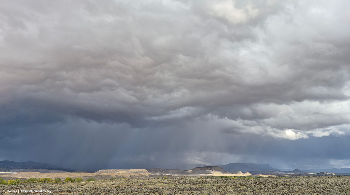
Yowza! That’s RAIN. Over SPRING CREEK BASIN! This is looking east while heading south on Disappointment Road, well west of the basin. …

Wait. What is that … ?

What that, you ask? THAT that!

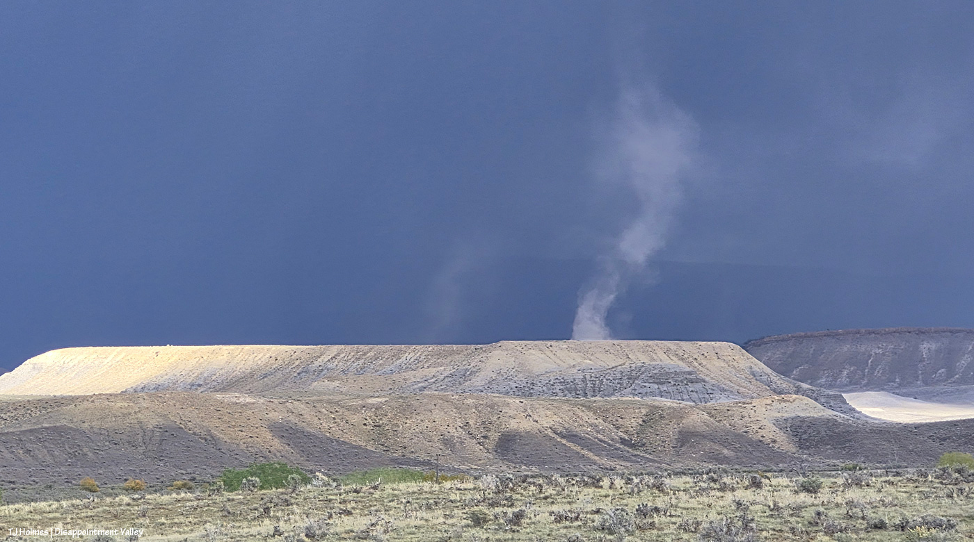
It’s a DUST DEVIL. … With pouring rain in the background! Just like the weird rain column seen earlier from inside Spring Creek Basin, this dust devil was illuminated by the sunlight hitting that part of Disappointment Valley west of Spring Creek Basin (the ridge topped by rimrock at far right is part of the basin’s western boundary). See the far-far ridgeline curtained by rain? That’s the very same northeastern ridge that meets the sky in the previous pix taken within Spring Creek Basin.

I was so wowed that I was standing in the middle of the road holding my phone up and out in the classic pose as a truck was approaching. Fortunately, it was someone who knows me and knows my photo-centricity, and he kindly did not run me over. 🙂
Kinda great for zilch on the rain front in the forecast, eh? 🙂 And I will tell you that the ground was still satisfyingly damp out in the basin last night (as you read this), and now we have another day or three or five (who really knows?!) of rain chances in the forecast.
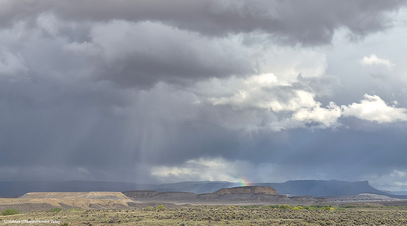
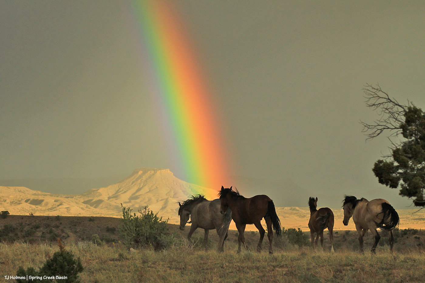
See the rainbow prism? That’s directly over Filly Peak in Spring Creek Basin.

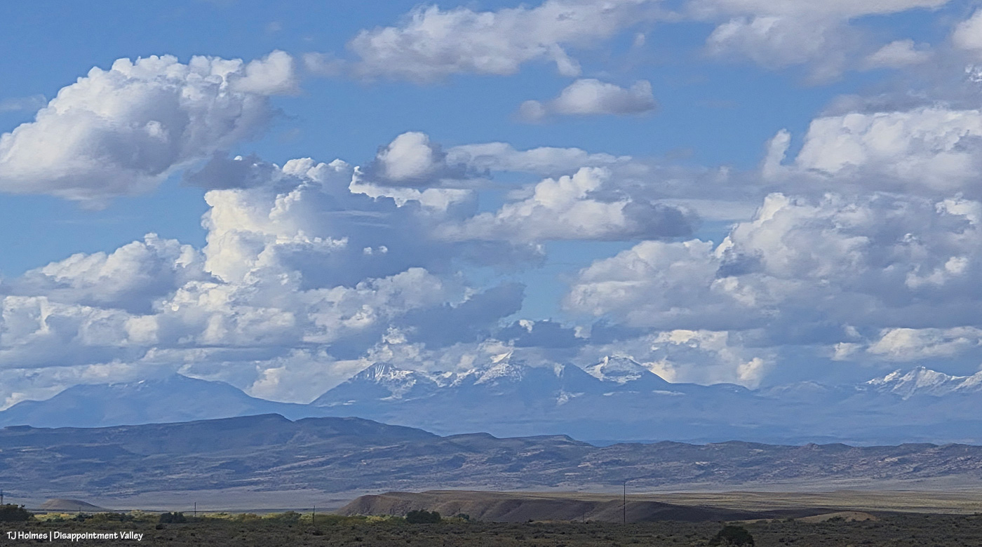
Did I mention there’s snow again on the mountains on our northwestern horizon (Utah’s La Sals)? As a point of interest, Mount Peale is the highest peak in the range at “12,721 to 12,726 feet.” Moab is on the other side.

There was just about every bit of light imaginable during the time I watched the storm pass: glorious sunlight to dappled light to ominous rain-darkness. Something else interesting? I never got so much as sprinkled on, no matter where I was.

Oh yeah, and the light that produced multi-colored rainbow prisms (can you call it a rainbow if it doesn’t form a bow?). I think there were at least five, maybe six of these prisms. None formed a complete rainbow (if you can believe it), and none of them lasted very long … except this next one:

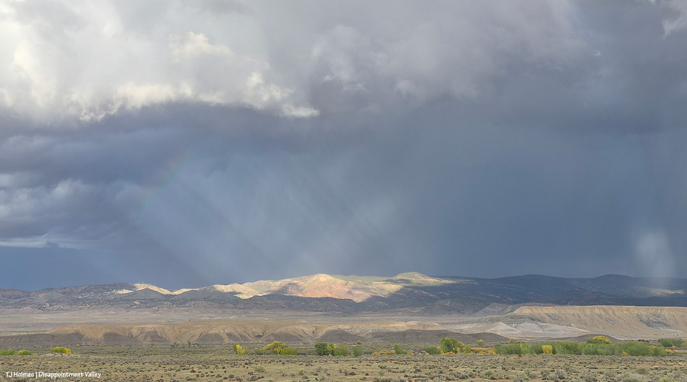
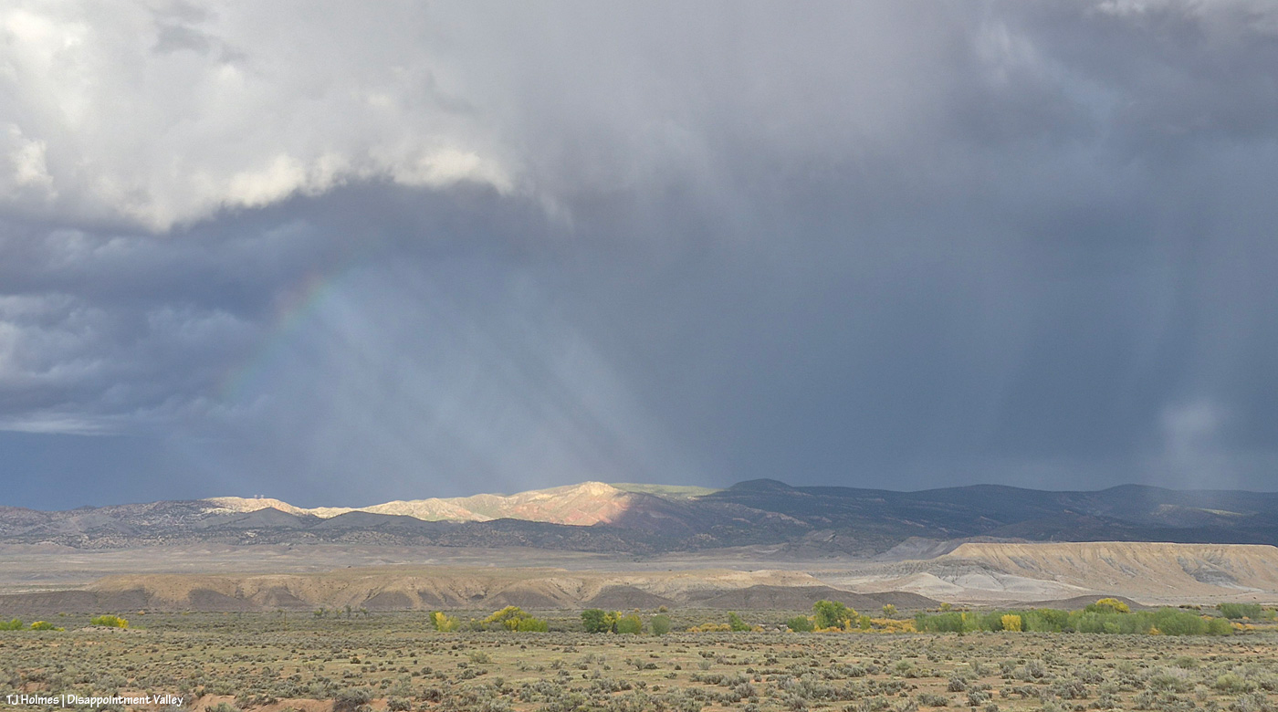
See the rainbow forming at upper left? (And check out that spotlight at farthest right!) Unfortunately, the prism was faint while the spotlight was on Buck Knob and its vibrant redrock layers, but, um, WOW.

It’s getting a little more visible …

The. Light. Was. Phenomenal.

The cottonwoods along the bottom of this pic line Disappointment Creek. Spring Creek is farther north, running out of Spring Creek Basin, which is to the right/east. They both run westish; Spring Creek runs into Disappointment Creek, and, eventually, FARTHER west, Disappointment Creek carries all its salt and sediment into the Dolores River. This view is looking purty near north. The shorter, yellow-y-er (that’s a word, creatively speaking) vegetation is willow and maybe some rabbitbrush/chamisa, too. The cottonwoods at this elevation are just starting to go gold.

Do you start to see why there are so many pix in this post?! The light KEPT CHANGING. What the heck are those beams right of center?! I never did figure it out.

Wide-wide view for perspective. The road runs straight east here.

And on I went up-valley (to the southeast). I mean, who knew what else Mother Nature had in store?

Disappointment Creek. Picture NO water here, and that’s what it usually looks like. This was when I first realized how heavy the rain must have been that I’d seen earlier … remember the very first pix at the top of this post? Spring Creek Basin is across the road (that I’m on) to the left.

It’s really hard to understand how this is such an astounding view if you don’t know what it usually looks like, but for one thing, there are usually giant rocks visible in the creek bed there.

This is Black Snag Road; Disappointment Road is about 100 yards behind me. … Actually, this is Disappointment Creek – err, river – making fun of the idea of there being a road under that rollin’ water (let alone a culvert … ha ha ha!?). This is where I wish I was adept at video and/or even knowing how to insert it. Because the sheer volume of NOISE (let alone water) was INCREDIBLE. Larry W. is the Dolores County road guy for this part of Disappointment Road; I couldn’t help but think of him while I watched this; it will fall to him to fix this … eventually.

That pile of dark dirt is sort of the edge of … well … where the water shouldn’t have gone around?! Seriously, do not mess with Mother Nature. She makes her own paths.

I’m not entirely sure where those rocks would have come from. I hadn’t been down to look at the crossing for quite a while until this moment, but the road is sort of … there.

It was hard to take a still pic that conveyed the noise and just sheer quantity of water rolling through the *ahem* creek bed. You see the rocks … and up to the right is a WAVE of mud-water. I think the culvert is sort of in that area? And/or rocks meant to stabilize it and the edge of the road.

Disappointment River. 🙂 Seriously.
Meanwhile, this was happening behind me (as I looked at the river, err, creek crossing); looking in this direction, the creek is behind me. Disappointment Road runs across the base of the pic; down-valley (northwestish) is left, and up-valley (southeastish) is right. The fence along the road – the boundary of Spring Creek Basin – is visible at left and right. The foreground is part of Spring Creek Basin Herd Management Area, but Temple Butte – lit up at right – is outside the basin, as is McKenna Peak, the tip and eroded slopes of which are visible at left.

Nope, it was not over!

Disappointment Creek flowing downstream from just upstream of the Black Snag Road crossing.

It was *this* close to sunset. 🙂
Mother Nature wasn’t close to done for the day.

I mean … can you die of absolute, heart-bursting joy at the gorgeousity of the world?! Hopefully not; too much yet to see. I hope you’ve stuck with me. … Really, it gets BETTER.

Are you sitting down? You might want to sit down.

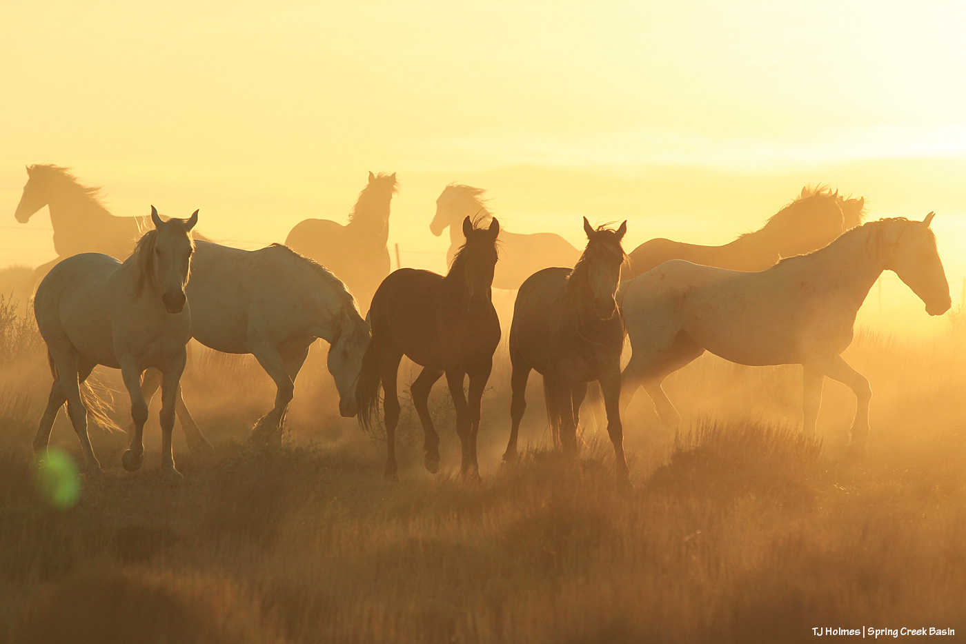
As I went back down-valley, THAT was happening behind me. Ahead of me (behind me as I take these pix), to the west, the clouds were nearly gone, the sky nearly clear again. The color was all back to the east. (Note: These horses are not in Spring Creek Basin. I’ve never crossed over here, but this sunset was too amazing not to share, and this is where I was when I saw it.)

My jaw might have been on the ground. I hope you find these colors and cloud shapes impressive. … The pix don’t really do it justice; it was one of the top most spectacular sunsets I’ve seen in my life.

I might finally have run out of words.

Was it worth it? 🙂

WHAT. A. DAY!!!!!!!!!!!!!!!!!!!!!!!!!!!!!!!!

Mama Nature, I never cease to be amazed. Keep on rockin’, Lady.

Thanks for coming along. 🙂


Worth the wait

13 10 2026

Buckeye and Rowan, rockin’ the rained-on look!

We’re up to at least three quarters of an inch of rain in just the last three days. AWE-some!!!!!!!!!!!!!!!!!!!!!!!

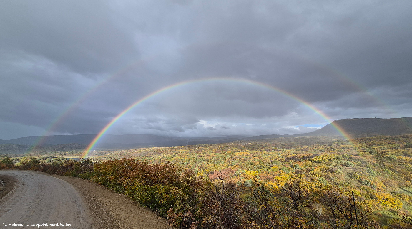
I was finally able to get out for a fall color drive, and far from missing it, I saw lots of color. Most of what you see in this image is Gambel oak, also called oakbrush. Lone Cone should dominate the far leftish horizon, but it was completely socked in by the end of the day. And this scene was completely cloudy and grey … until all of a literal sudden, it wasn’t. And then a magnificent double rainbow lit up the scene. WOWZA! I’m not entirely sure this area is quite considered upper Disappointment Valley. Maybe the upper most upper part? Most of it spreads away to the left and northwestish.

Glorious rain and color and bows and ponies. 🙂


Up and coming

9 10 2026

If these kids are representative of the country’s young folks, we’re all gonna be OK. 🙂

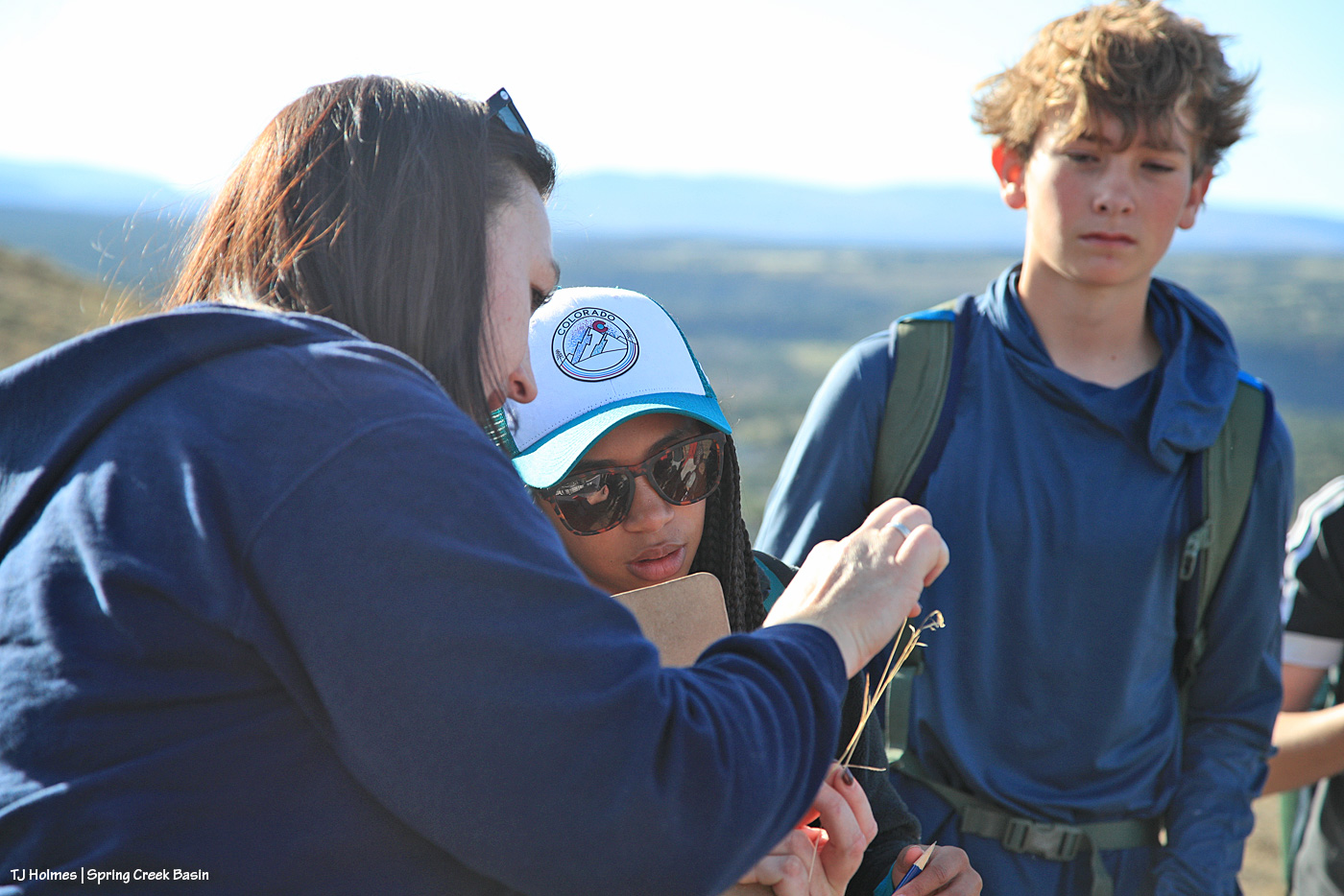
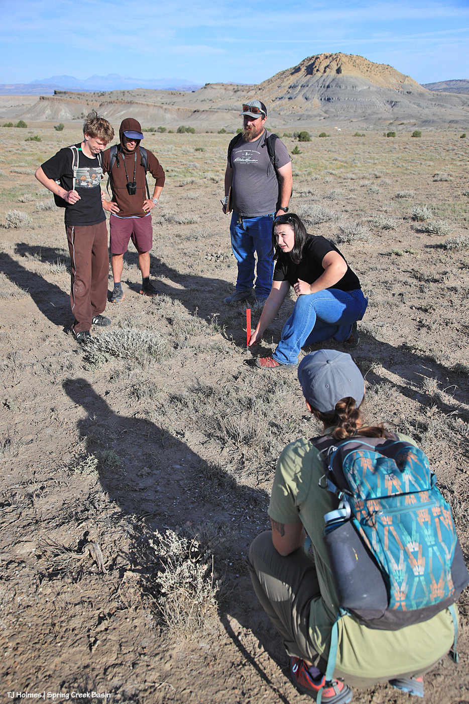
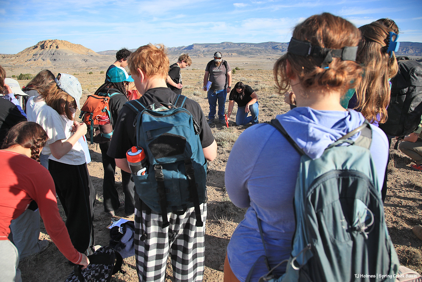
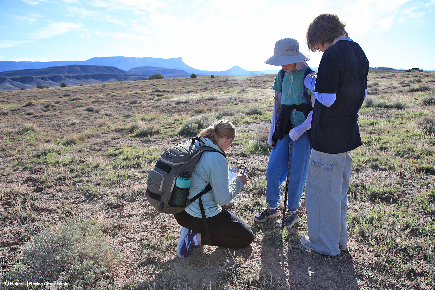
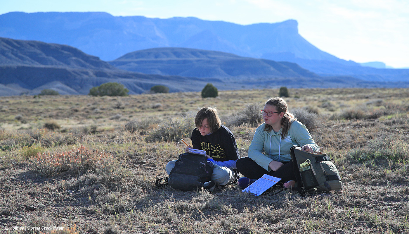
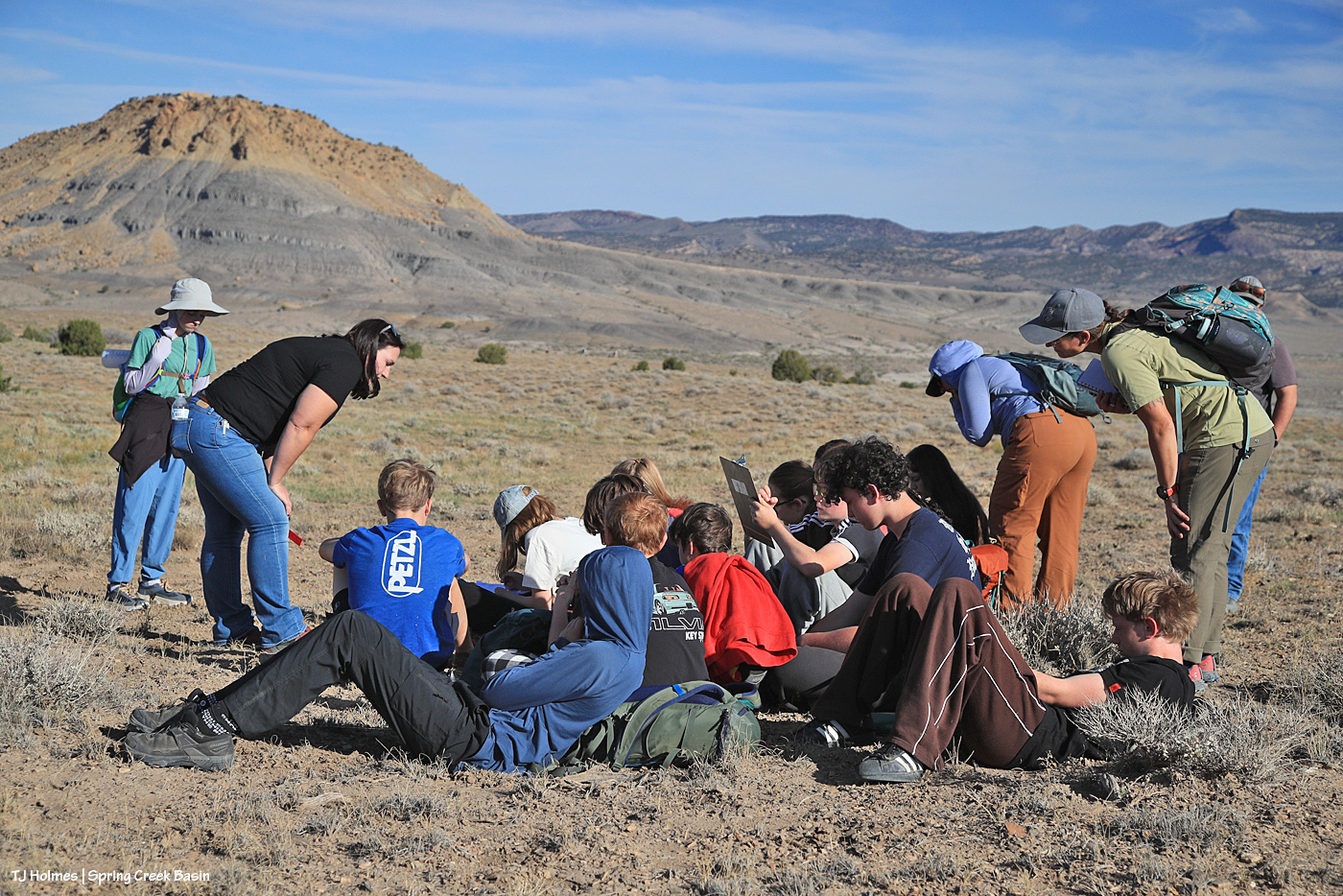
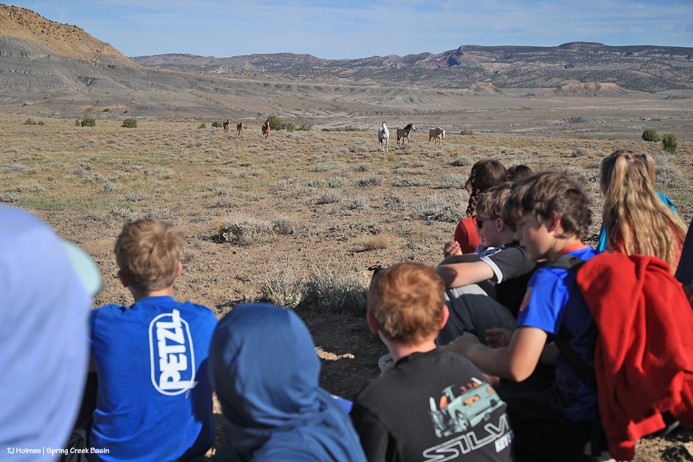
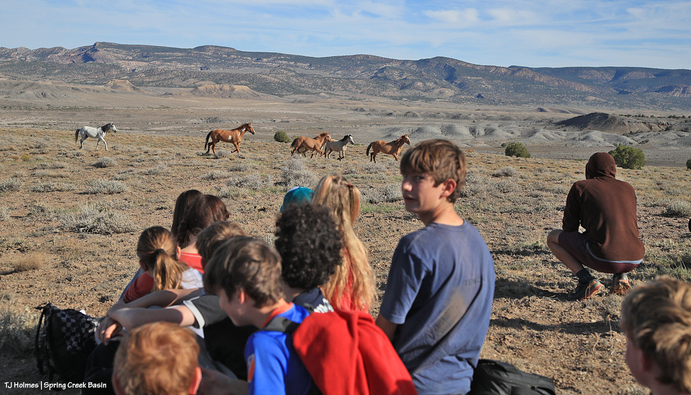
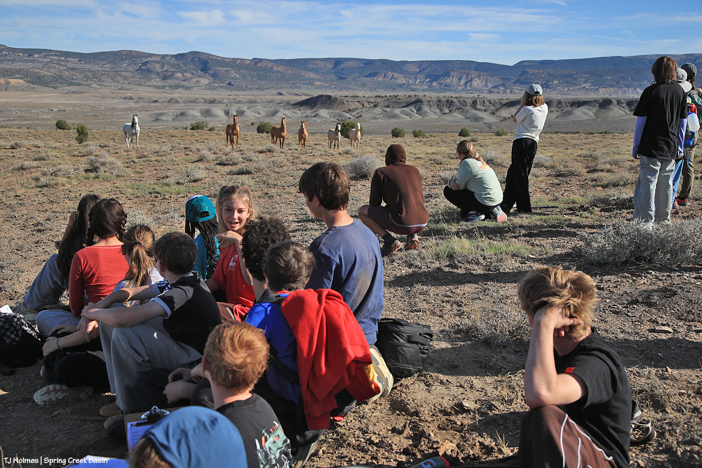
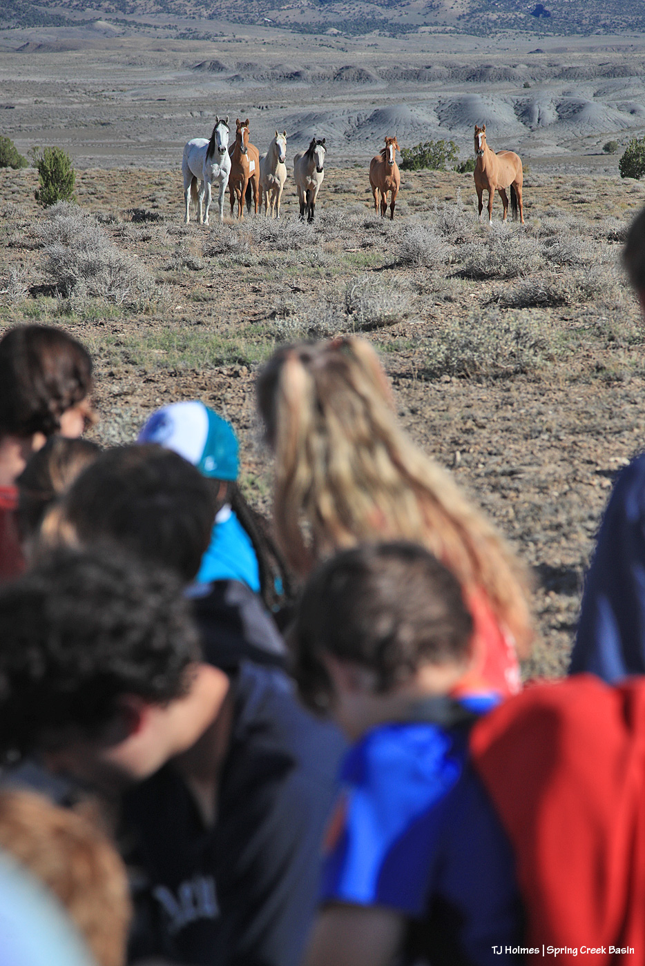
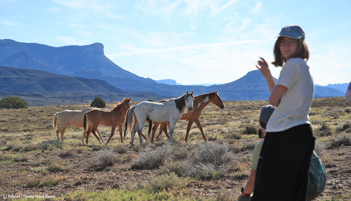
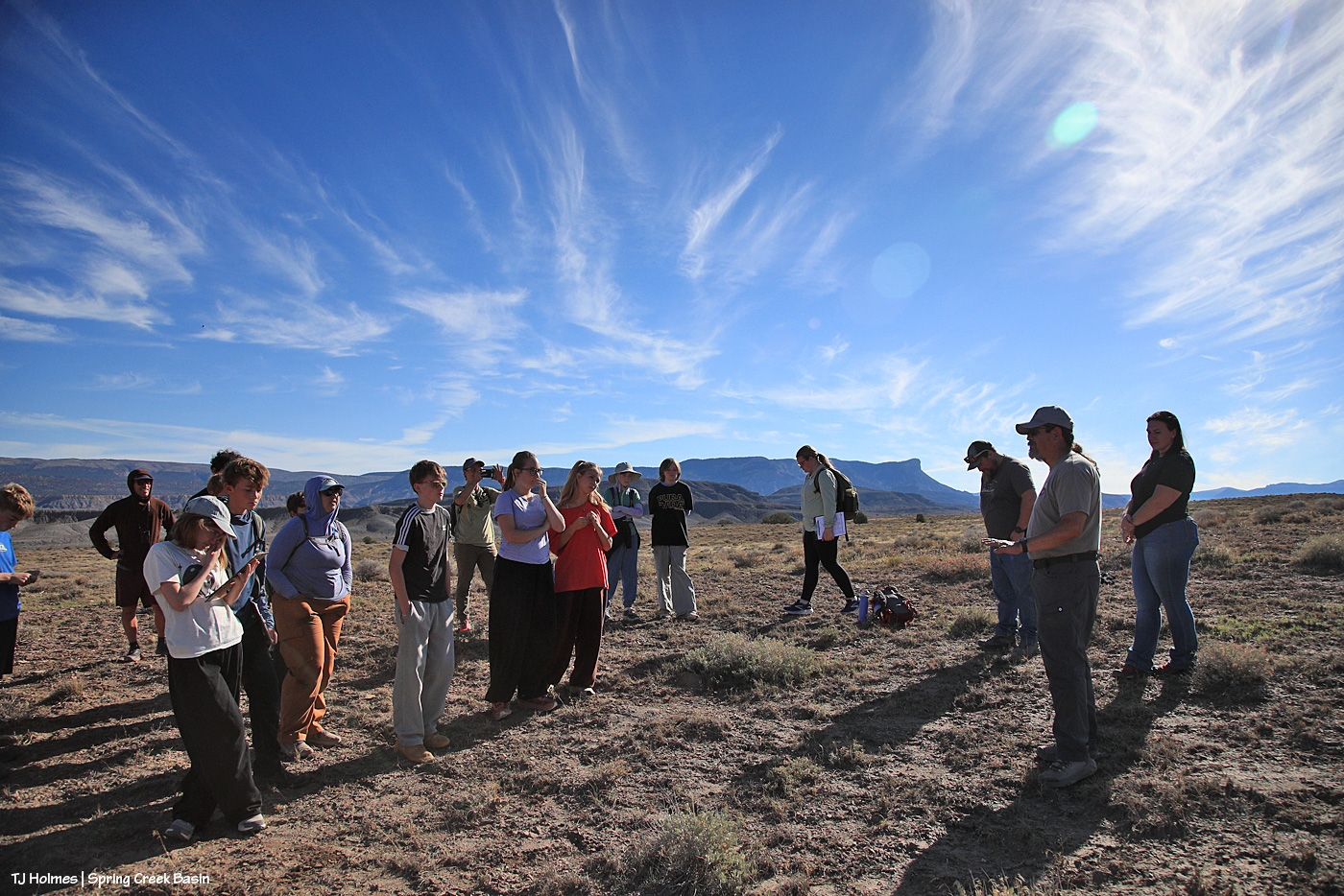
Earlier this week, Disappointment Valley and Spring Creek Basin – and one mustang band! – played host to a group of eighth-graders from Boulder’s Watershed School and three of their teachers. They got to see Buckeye’s band after a long drive from Meeker, where they’d camped after a great visit to the Wild Horse Refuge near Craig. Then they camped above Disappointment Creek, just outside Spring Creek Basin. In the morning, BLM range specialist and herd manager Anton Rambur and range tech Laura Heaton arrived to lead the students in a vegetation-monitoring project up the same hill. Tres Rios Field Office Manager Derek Padilla also came out to see and talk to the kids about the variety of land management that happens throughout BLM public lands in Southwest Colorado.

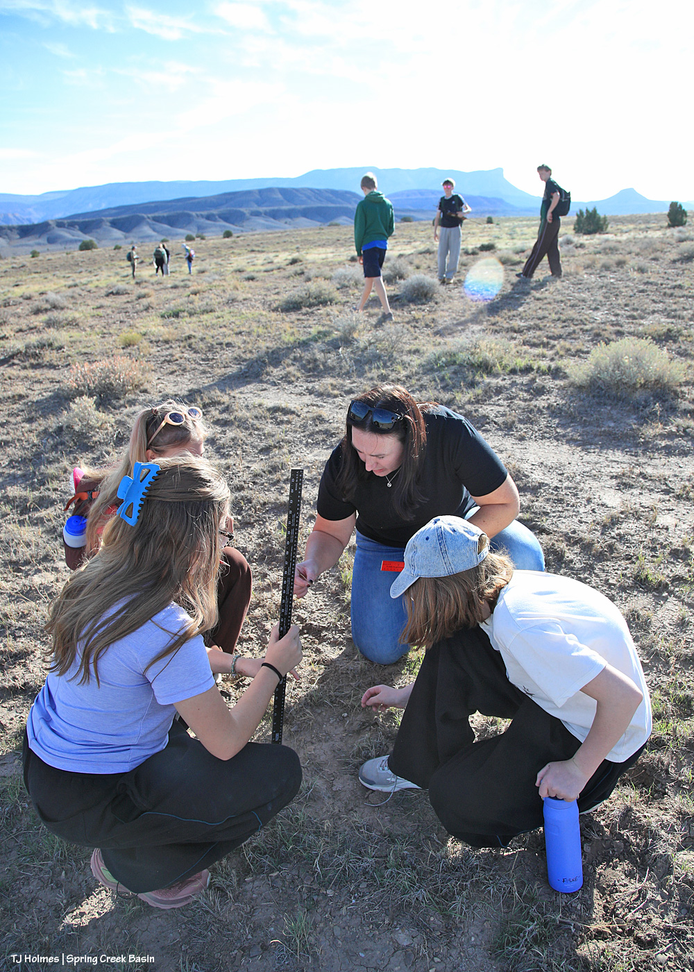
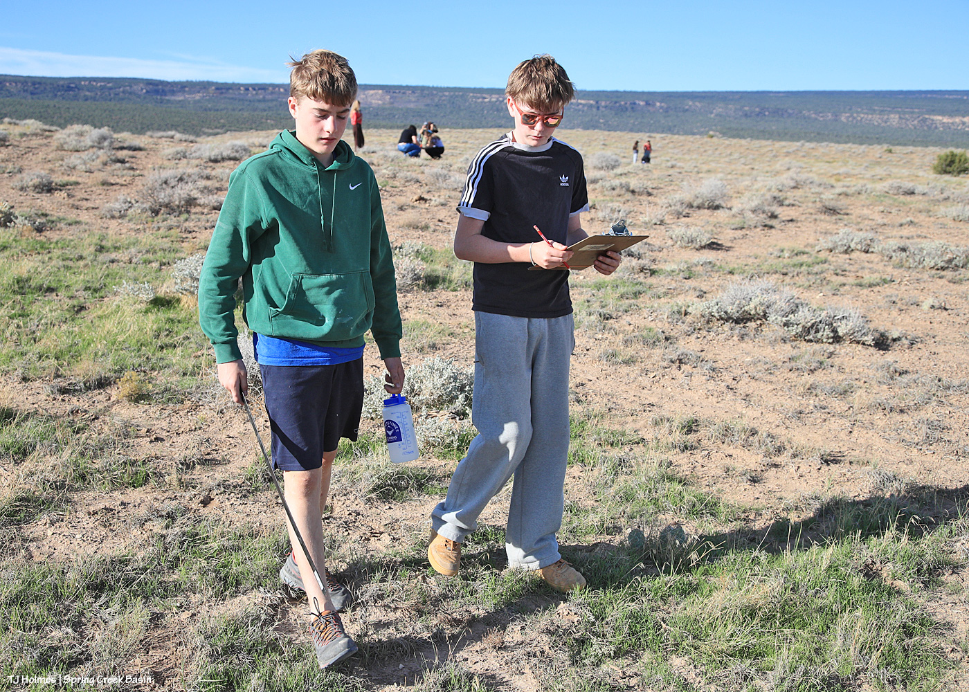
The kids spread out in small groups and pairs to conduct their utilization (grazed/ungrazed bits of galleta (a native, warm-season grass that’s growing after the recent rains) along lines of five steps at a time) under the watchful eye of Buckeye and the band.

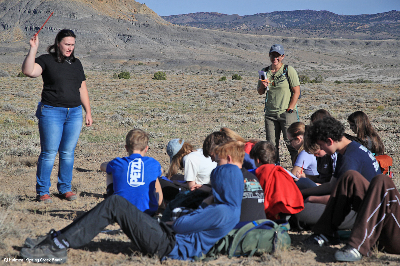
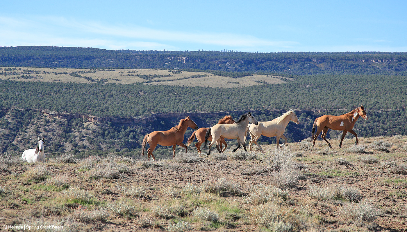
And then, while they listened to Laura and Anton guide them about how to fill out their sheets with the information they’d gathered, Buckeye decided that he and the band were ready for their morning drink … which meant ambling up the trail … and giving the kids a good check-over … before heading down the other side of the hill to the water catchment.

Top THAT, any other school trip ever, anywhere! 🙂

We stayed up top to listen to Derek and give the horses a chance to get down the hill, to the catchment to drink the lovely fresh rainwater in the trough … and they came up a different trail back to the top of the hill, checked us out again and returned to grazing.

Oh, my lovely, wonderful, awesome and amazing mustangs. 🙂 You do me SO proud!

Then back down to the corrals and buses, where Anton and Laura helped them do the math involved in figuring out how much the horses are grazing in that area of the basin. At the end, I heard numbers ranging anywhere from 7 percent to 50 percent use/grazed plants, so even in our drought, we’re in good shape for the horses not eating everything in their paths. And the students learned a little bit about what BLM folks are looking at to manage the rangelands that support wild horses – and other grazing/browsing wildlife like elk, deer and pronghorns.

I got to talk more about PZP and show off my darting rifle and let some of the kids see how light it is and how quiet (no darts involved!). And I marveled the whole time at the insightful, curious questions the kids asked and the answers Anton and Laura gave to provide the kids with a well-rounded picture of what it takes to manage a herd of wild horses on public land in Colorado.

Ahhhhhhhhhhhhhhhhhhhhhh-mazing!

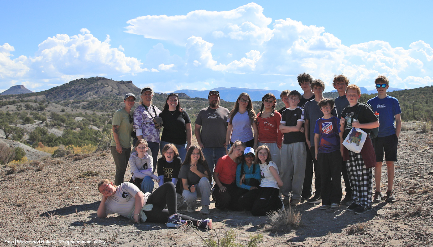
Here follow a load of pix of Watershed School students and teachers Amy, Diana and Pete, BLM’ers Laura, Anton and Derek … and the mustangs they got to see:

Laura points out characteristics of grasses to students. We saw past-prime cheat grass, and they concentrated on newly growing galleta. (We also saw Indian ricegrass, grama grass, alkali sacaton and/or sand dropseed (my hat is off to you if you can look at the latter two and tell them apart!)

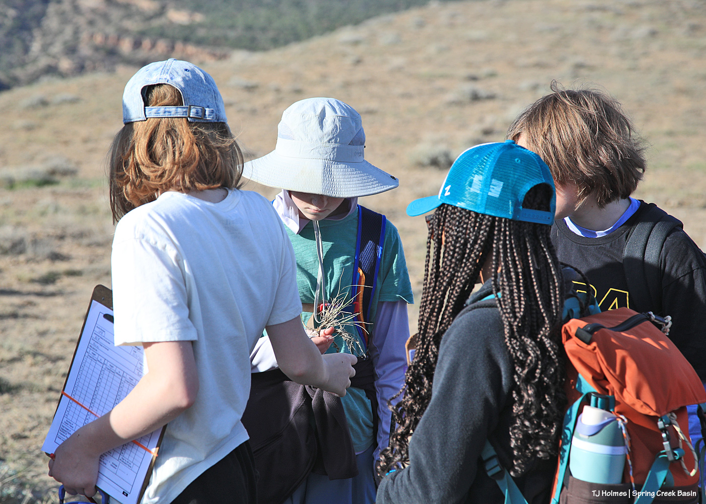
Students examine a clump of grass that shows last year’s growth as well as recent growth.

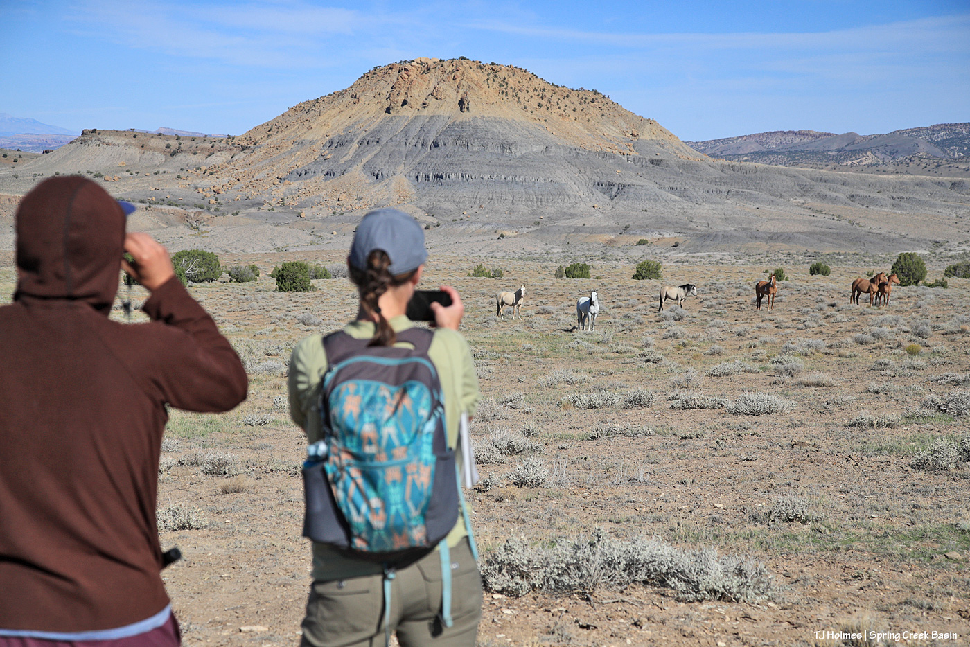
Laura and Anton talk about how to measure clumps of grass. The idea was that the students walked five steps in a line, measured galleta at their toe or within reach … then another five steps … until they’d measured 10 samples. Teacher Amy is in the foreground (this is the second time she has brought one of her eighth-grade humanities classes to Spring Creek Basin; the last time, it poured rain! as you can see in these pix, they lucked out with spectacular October weather), and teacher Pete is in the brown hoodie and camp. … Start to notice the “little white dots” in the distance.

Teacher Diana is at right while the students watch Laura measure the grass clump. For a little perspective, I’m facing nearly directly north toward the main, west-ish part of Spring Creek Basin.

No mistaking that horizon. 🙂 Laura helps one of the small groups of students with their monitoring while two other groups walk their lines in the background.

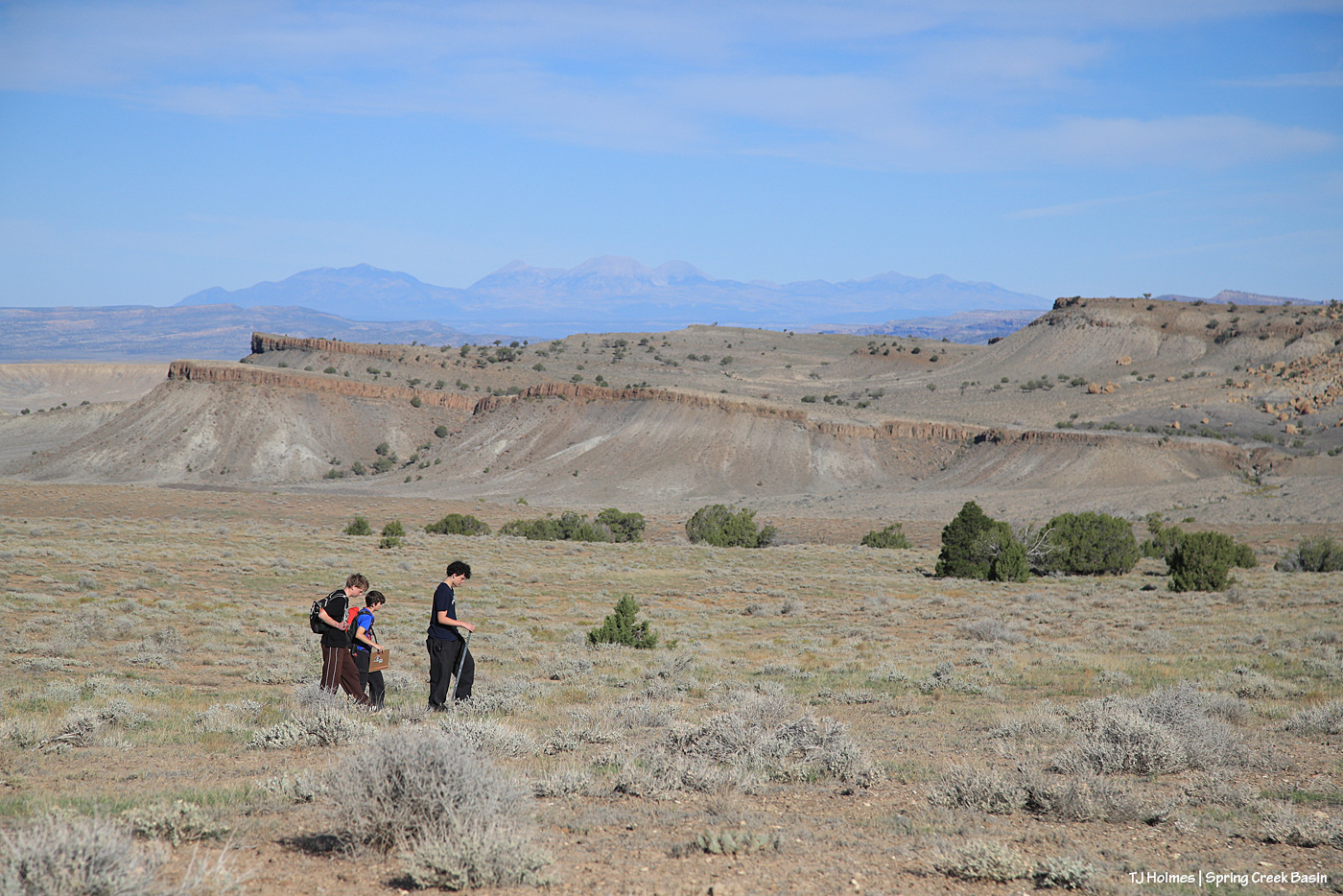
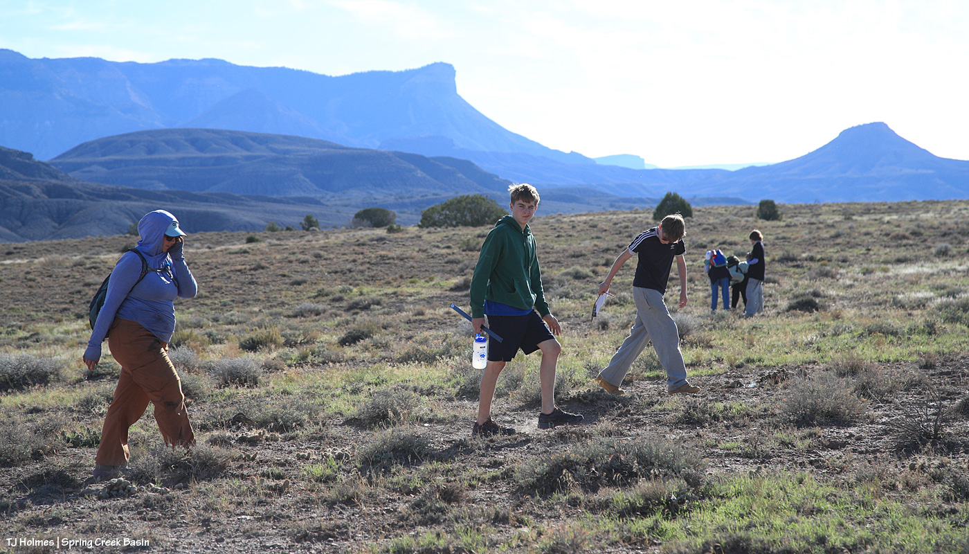
Boys walk their line with the basin’s south-facing rimrocks in the near distance and Utah’s La Sal Mountains in the far distance.

It’s hard to get a whole lot farther from Boulder than Disappointment Valley (OK, we’re not the *farthest* southwest corner of the state), but students were focused on the vegetation and their project. How cool is it that they’re able to take trips like this instead of learning from books only, only in a classroom?

Another pair walking their line with other groups in the distance. See that GREEN grass? Yeah, thank you, RAIN! A little goes a long way in this high desert.

Diana follows the boys back up the hill after they finished their line. Can’t get enough of that scenery.

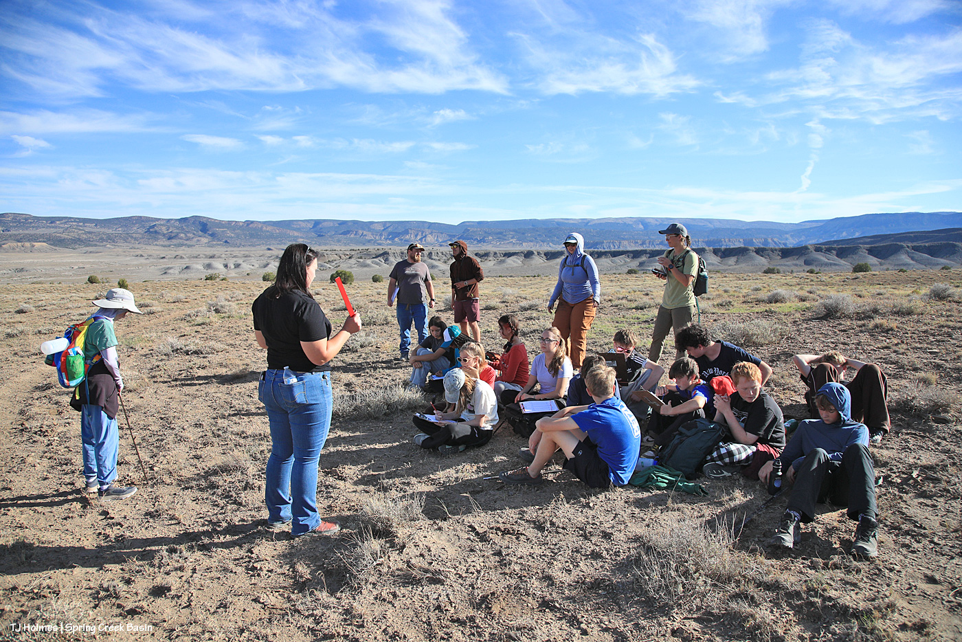
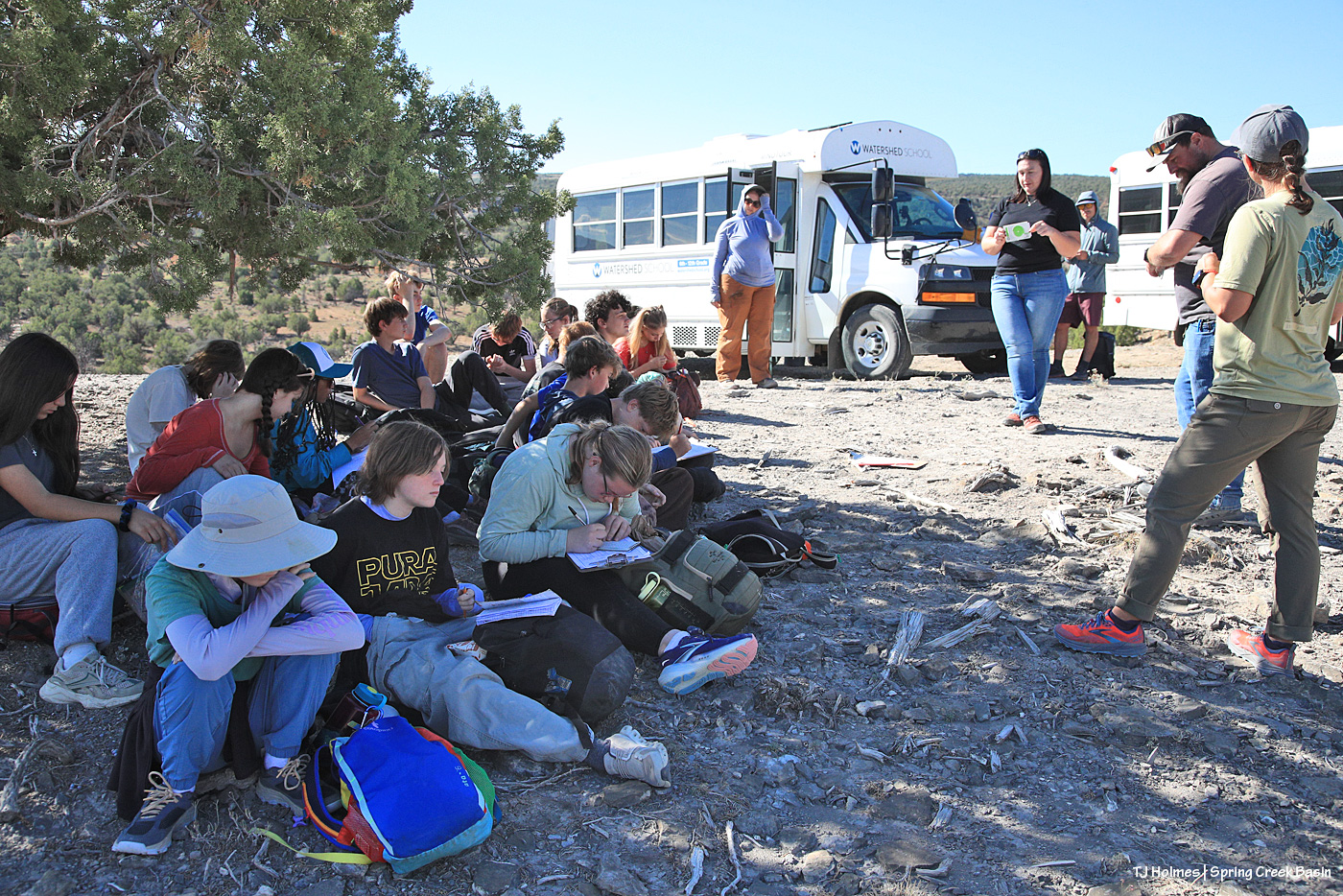
All gathered again to ensure they’d filled out their sheets well. … There was math to come!

These city students were not afraid to drop to the ground among the grasses and shadscale and four-wing saltbush – and cacti!

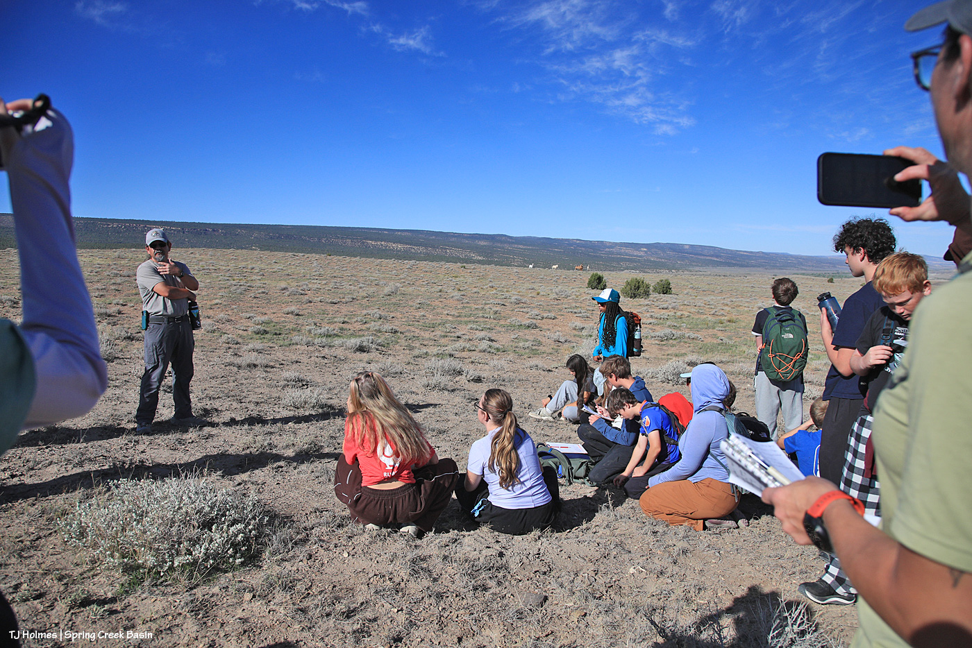
Laura, left, and teachers Amy and Diana helped the kids with their utilization sheets (these are the same that BLM employees use while out monitoring rangelands). They’re a little hard to see (wide-angle lens, not my big gun), but look straight out over the kids’ heads. …

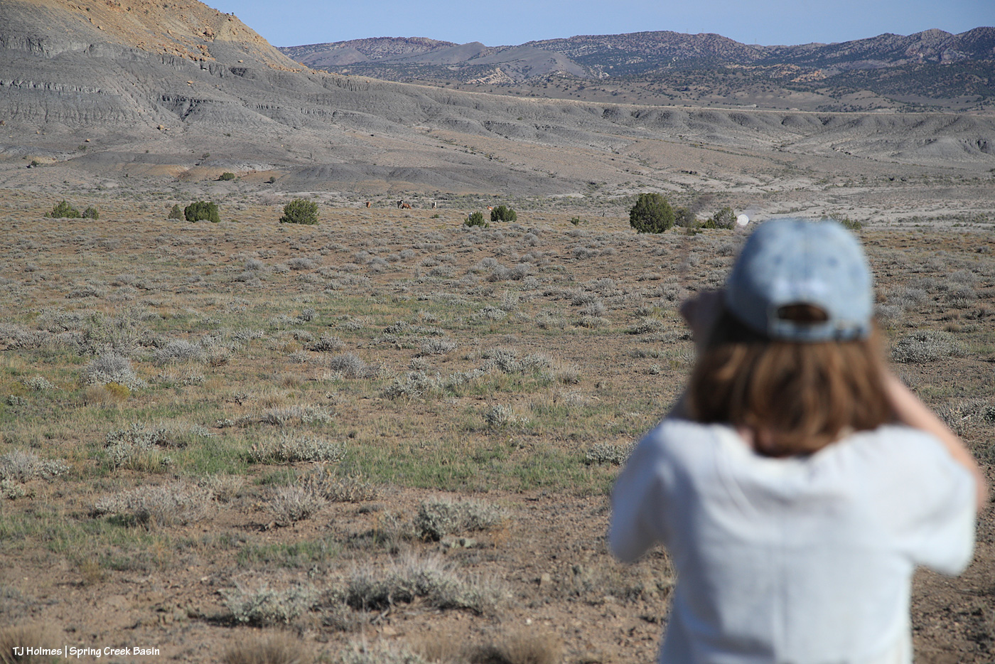
We were being watched!

Just like the evening before, Buckeye’s band was over the top of this hill, down toward the north. Here, they’re a little east of where they’d been previously. The previous evening, after they arrived, I hiked the kids out to the trees – there’s a little arroyo that starts there – and we picked up the trail to the west, which we took a bit farther left of where the horses are seen here.

I’m not sure how long we’d been on the hill, but we weren’t in a hurry, and the students were absorbed in their project. While they worked, I took pix and kept an eye on Buckeye’s band to gauge their comfort level (they were at least a few hundred yards away from us). By about this time, as the students were nearing the completion of the monitoring part of their project, I started to notice that the full band was appearing, and Buckeye was inching a bit closer. … And then it hit me: They want to make a trip up and over the hill and down to the catchment trough for their morning drink. Sure enough, they walked on up the trail, but where I thought they’d veer off more to the west and go down the trail I brought the kids up the evening before, those curious ponies came right up the trail to where the students were gathered! I cautioned everybody to just sit tight and stay fairly quiet and let the horses explore this mass of humanity on their usual empty route to water.

And the gathered group of students and adults got the mustang sighting of their lives. 🙂

Pretty amazing, eh? 🙂

While we were watching Buckeye’s band watching US, Tres Rios Field Office Manager Derek Padilla hiked up the hill to join us. He talked to the students about the variety of jobs available with the Bureau of Land Management (and U.S. Forest Service, where he spent the first 27 years of his 30-year land-management career) and the variety of ways BLM’ers manage the multiples uses that happen on public lands.

He and Buckeye might have worked it out between themselves because the band had plenty of time to head down the hill to water, drink and then return up a different trail.

After one last farewell to the ponies, the group returned down the hill to the buses to complete the math (!) part of the project and have some lunch and a last round of questions and answers with Laura and Anton.

Yes, math does have real-world applications. 🙂 Laura and Anton helped students with the formulas to calculate the results of their utilization (grazed/ungrazed) survey. Results: The horses have plenty of forage, even after our stressful droughty summer. Whew.

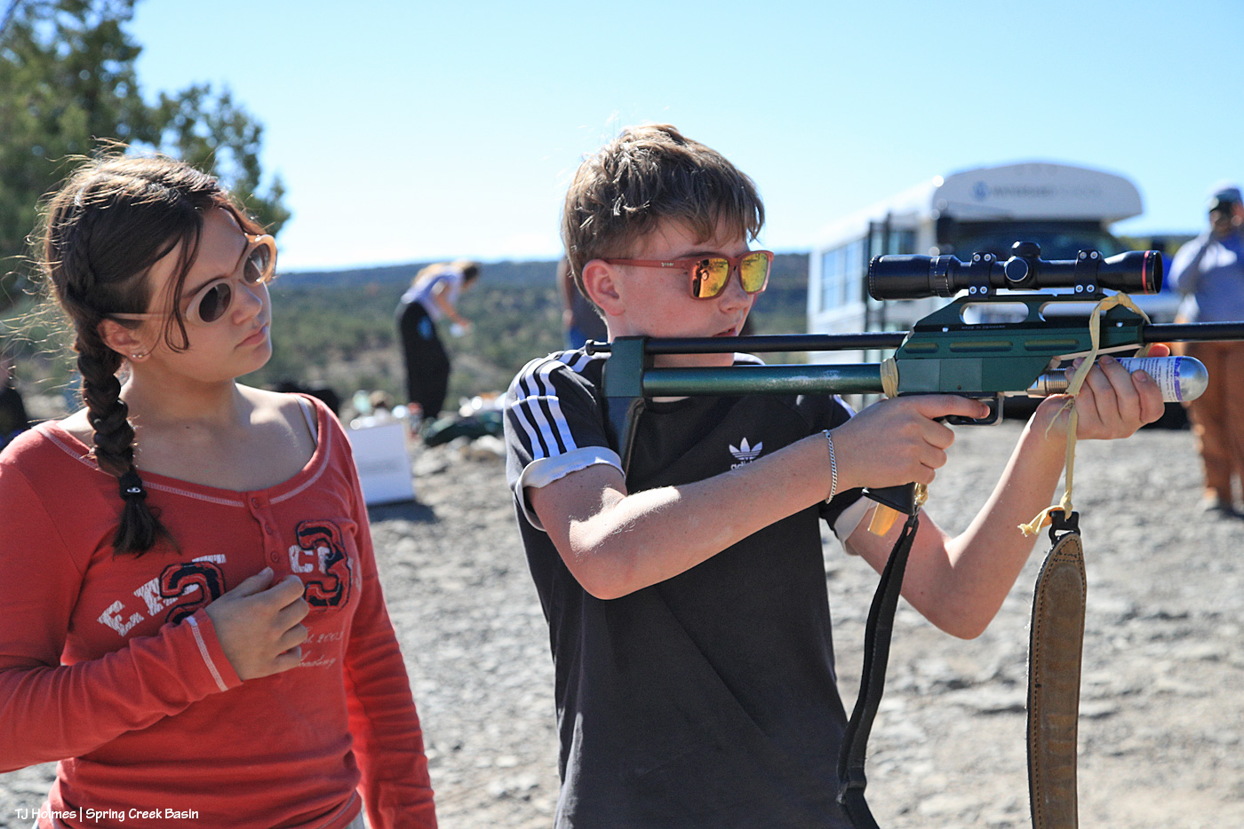
Before they left, at least one of the teachers and a few of the students got to check out my darting rifle. It’s very lightweight, and it fires off of a CO2 cartridge (pressurized to the distance of a mare). NOTE: NO DARTS WERE IN THE RIFLE. I let them put some air in the rifle and pull the trigger to hear the sound and have the feel of it. A surprise to a couple: No kick. 🙂

Kudos to these kids and their teachers for thinking outside the box and creating the experiential learning experiences Watershed School is known for. *I* sure never got to visit wild horses as part of any class trip, and I attended lots of schools in many states and Germany! They are super curious and intelligent and asked some of the best questions I’d ever heard – and I get a LOT of questions and have a lot of answers. Speaking for myself (I’m sure Laura and Anton and Derek would agree): We had a blast introducing these young folks to Disappointment Valley, Spring Creek Basin and (at least a few of) our amazing mustangs. 🙂

You’re welcome back any time!

Thank you so much to these Watershed School teachers and students, and to Anton, Laura and Derek, and (I have to say it) to my boy Buckeye and his girls, for making this a fantastic visit and learning experience in Spring Creek Basin!


Even the fastest mosey

6 10 2026

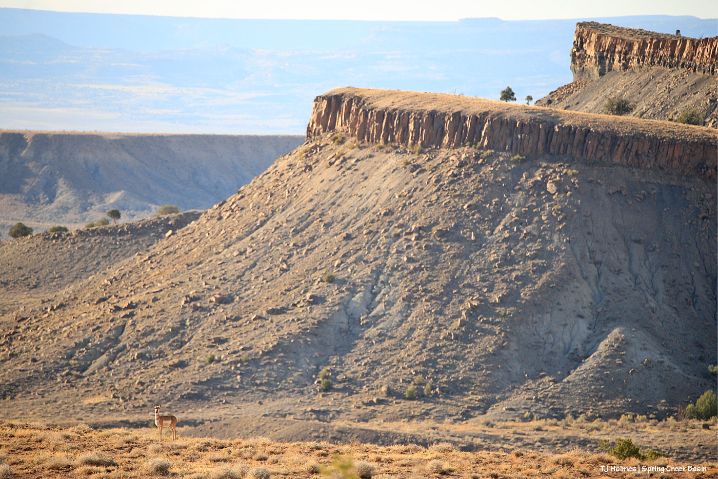
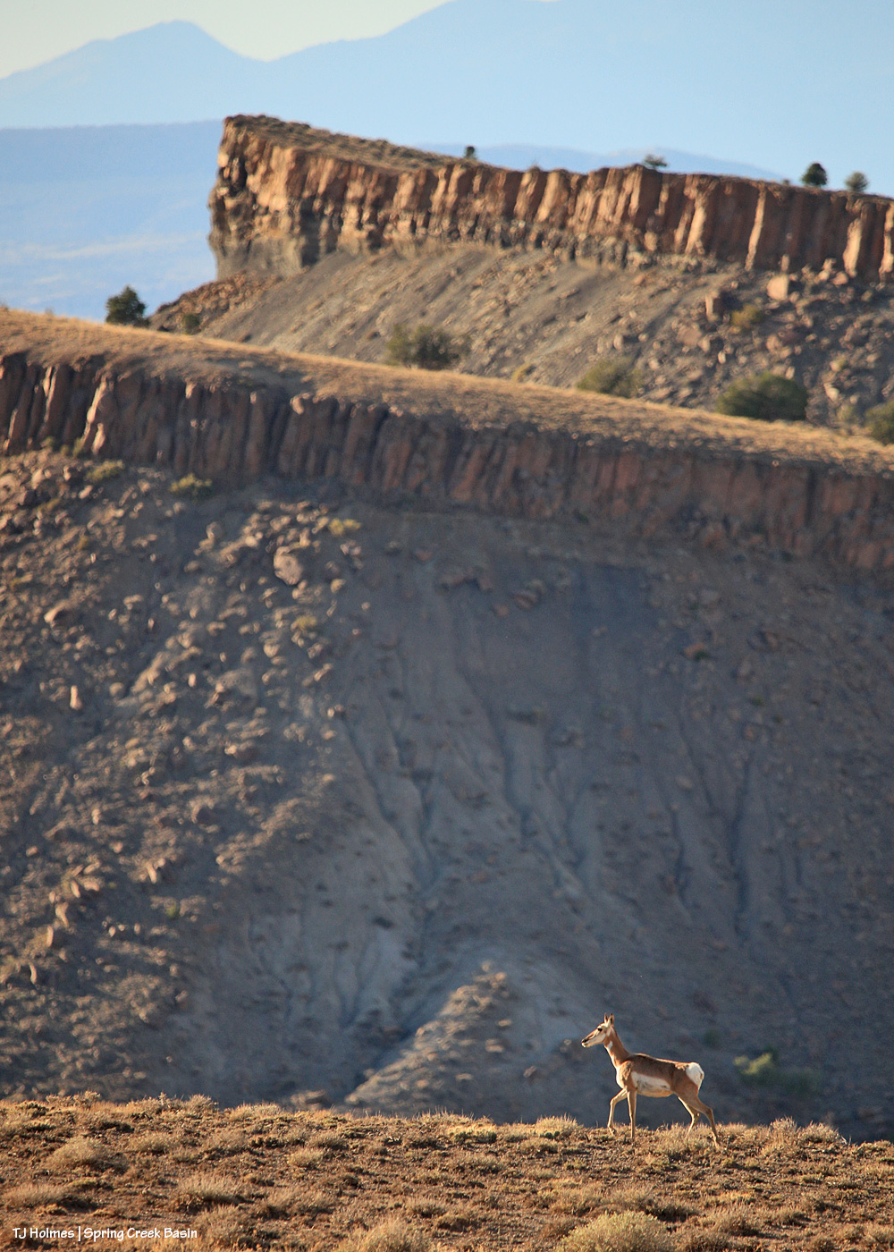
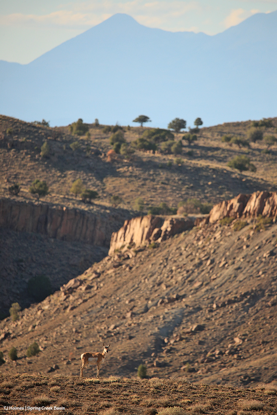
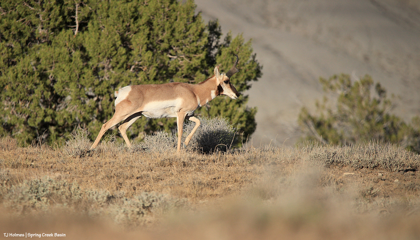
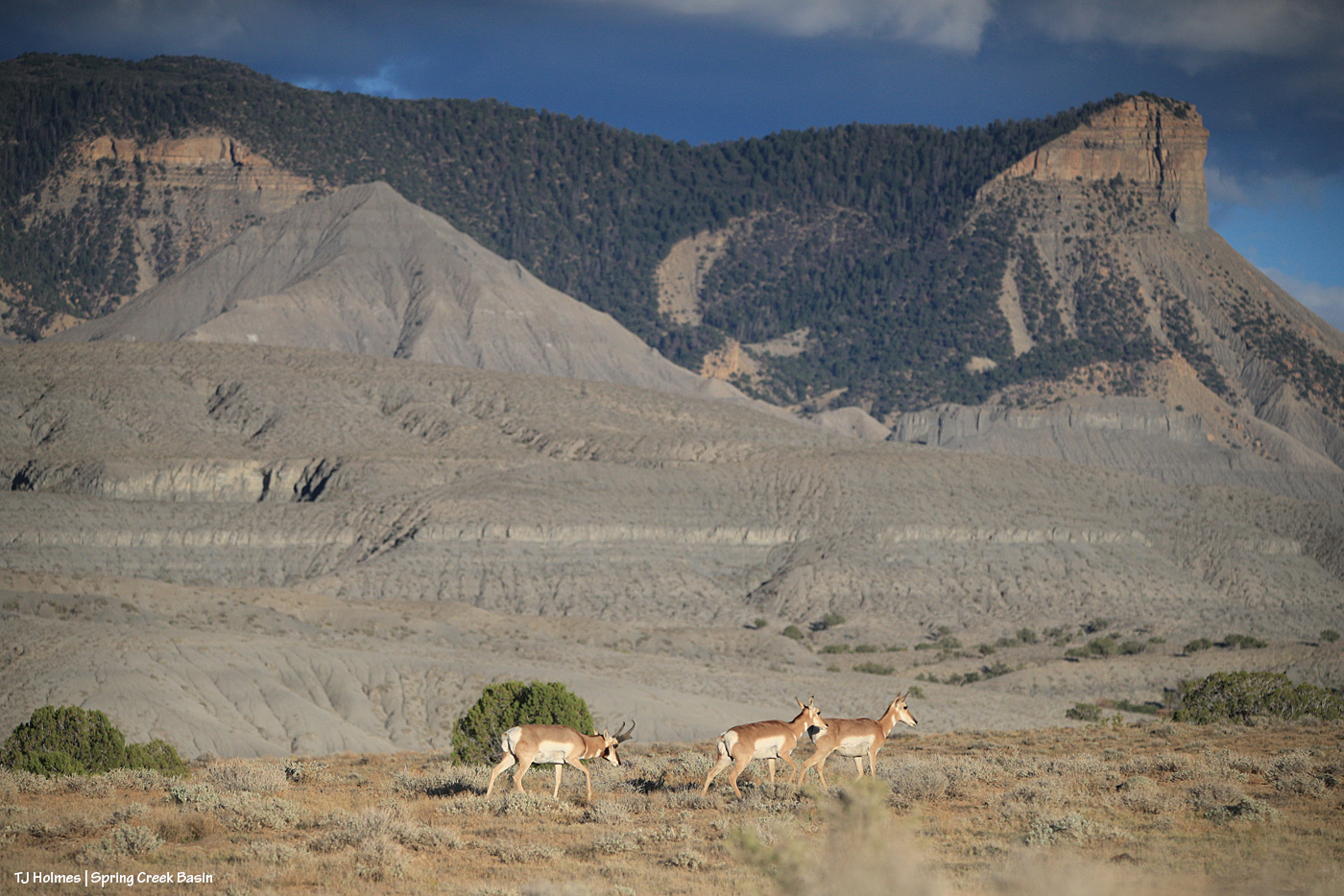
Heading up to one of the water catchments the other day, I was surprised to see a couple of pronghorn does heading on up past a band of horses that were already leaving the trough and also making their way to the top of the hill. I didn’t see them (any of them) drinking, but I *know* the horses had been, and I really hope the pronghorns are making use of the fresh rainwater, too.

No pix of the pronghorns and the horses together because they were far-ish, and I was still huffing and puffing my way up the hill, and I didn’t stop to offload and unload my pack. So what follows are sightings of the pronghorns after I was up and over the top, with another (second) band.

By the time I got atop the hill and was moving down toward a band of mustangs, I caught sight of one of the pronghorn does already down the broad other side.

My lens swung between horses and pronghorn, and I wondered where the other pronghorn had gone.

But for a while, only the one doe was visible, watching me watch the mustangs (and her).

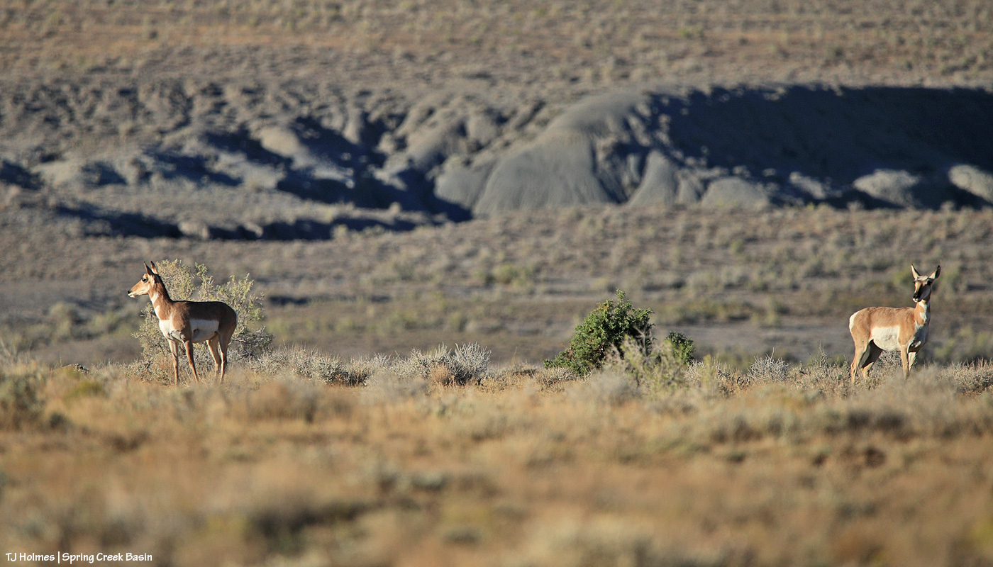
She eventually went out of sight, and I figured that was the last I’d see of her. … Until she showed up with the second doe, walking not so much toward me but on a trajectory that was going to take them past me a lot closer than they had been. And then the second doe turned to look behind them – definitely NOT at the horses – and I started to wonder what SHE was looking at.

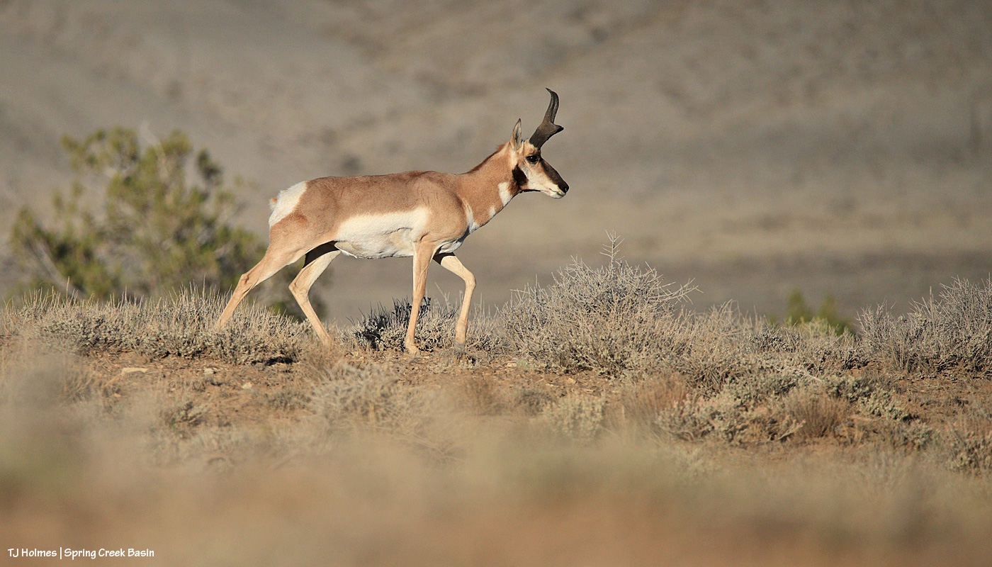
Ah ha! Mister handsome!

This shows his impressive horns better. And despite the fact that males shed the *outer* horns, they are horns, not antlers.

More from Google AI:

The Pronghorn (Antilocapra americana) is North America’s fastest land mammal, capable of reaching speeds up to 55–60 mph.

Physical Characteristics & Speed

  • Speed: Reaches top speeds of 55 to 60 mph, making it the second-fastest land animal globally (after the cheetah).
  • Anatomy: Features an oversized windpipe, heart, and lungs that process massive amounts of oxygen.
  • Horns: Possesses unique branched, pronged horns with a keratin sheath over a bony core that males shed annually.
  • Vision: Equipped with large eyes set high on the skull, providing a 320-degree field of vision to spot danger from miles away.

Habitat & Range

  • Geography: Endemic to the open plains, grasslands, and semidesert shrublands of western and central North America.
  • Local Presence: In Colorado Parks and Wildlife, they are commonly found on the eastern plains, mountain parks, and western shrublands.
  • Migration: Some herds migrate hundreds of miles seasonally to avoid deep winter snow that blocks access to food.

Diet & Behavior

  • Diet: Herbivores that primarily eat forbs (flowering plants), grasses, and shrubs like sagebrush (which they can digest despite its toxicity to other ungulates).
  • Reproduction: Mating occurs in early autumn (September), and females typically give birth to twin fawns in late May or June.
  • Predators: Vulnerable to coyotes, bobcats, wolves, bears, and golden eagles, which primarily target young fawns.

Pronghorns are fascinating critters. They’re not very widespread here, and there aren’t very many of them. Thankfully, there’s no hunting of pronghorns in our part of Colorado because there just aren’t very many. While I see them fairly often, I think there are only around 30ish. We do have coyotes and golden eagles, but in the open reaches of Disappointment Valley, those likely are their only predators. That said, there don’t ever seem to be *more* of them year to year.

From Wikipedia: “The pronghorn (UK: /ˈprɒŋ.hɔːrn/, US: /ˈprɔːŋ.-/)[4] (Antilocapra americana) is a species of artiodactyl (even-toed, hoofed) mammal indigenous to interior western and central North America. Though not an antelope, it is known colloquially in North America as the American antelope, prong buck, pronghorn antelope, and prairie antelope,[5] because it closely resembles the antelopes of the Old World and fills a similar ecological niche due to parallel evolution.[6] It is the only surviving member of the family Antilocapridae.[7]“

“The pronghorn is the fastest land mammal in the Americas, with running speeds up to 55 mph (88.5 km/h).” And if you’re lucky enough to see them, you can easily believe that. Even at what pronghorns themselves might consider “an easy lope,” they are FAST.

Pronghorns are awesome. 🙂


Tarantula crossing

2 10 2026

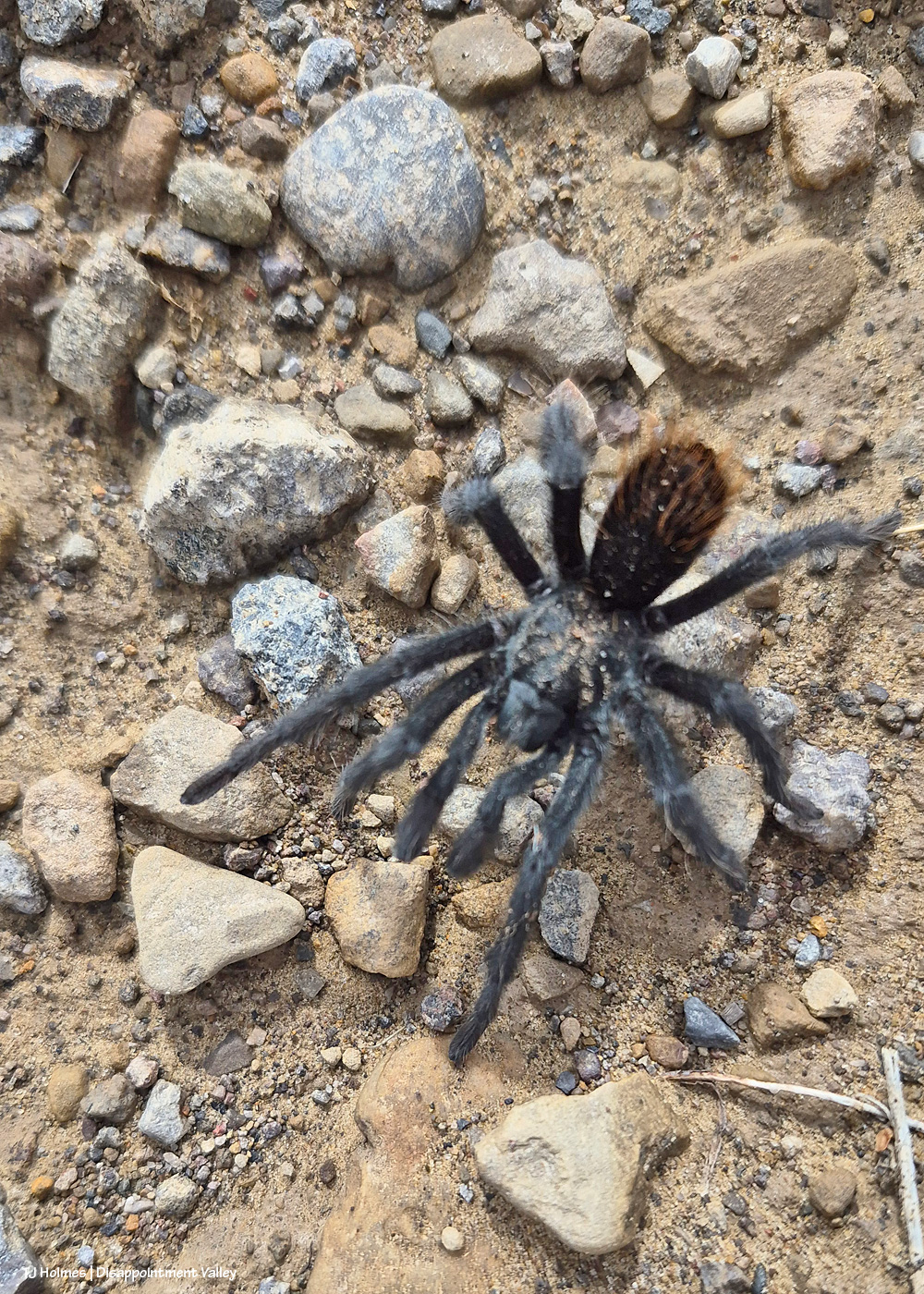
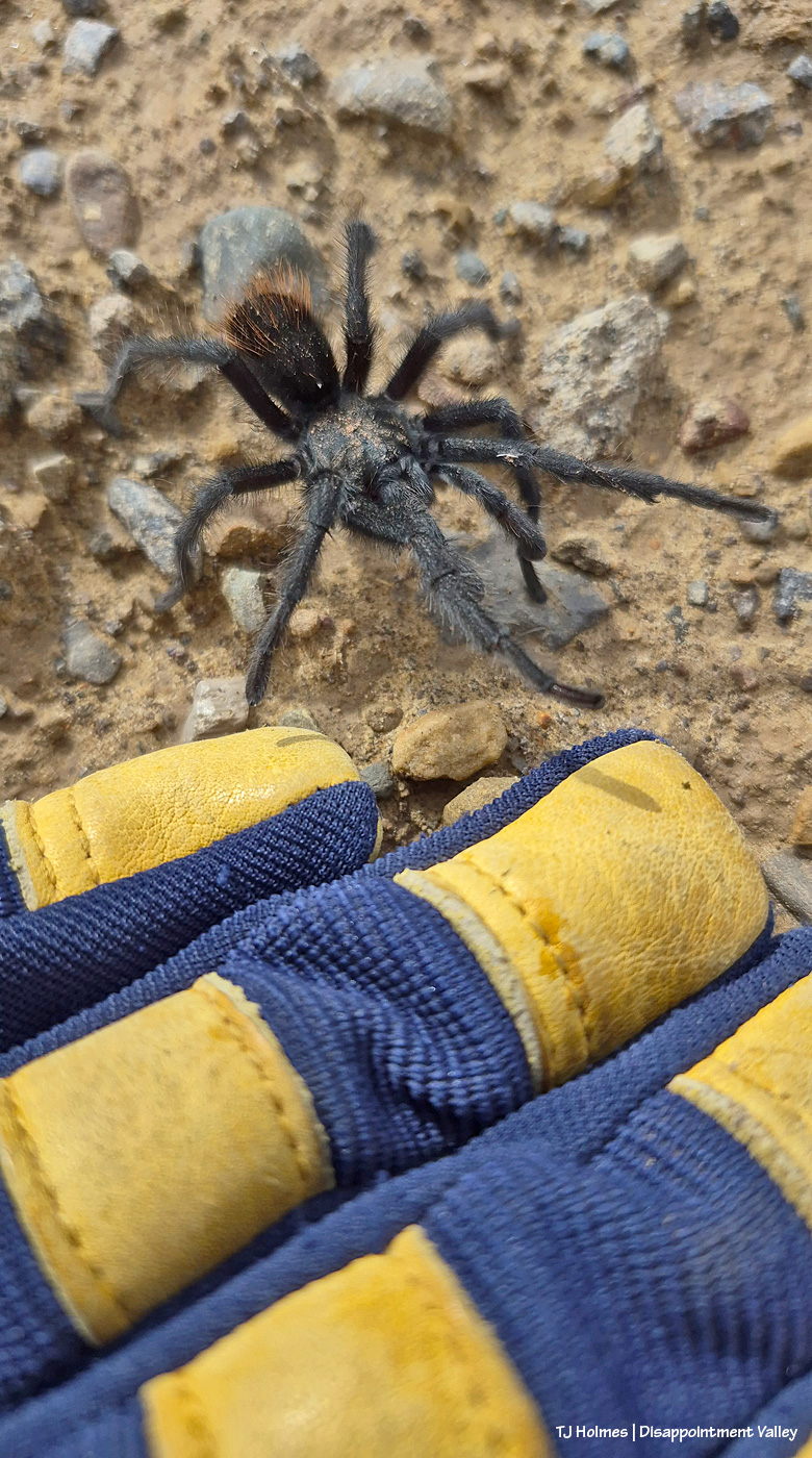
‘Tis the season for tarantulas to look for mates, and this little fellow (they’re the ones who do the looking) was crossing Disappointment Road recently on just such a mission.

I stopped for a hopeful introduction (not like THAT!), but he was singleminded in his search, and clearly, my giant blue and yellow-leather glove did not at all look like what he was looking for. 🙂

According to the Google machine:

Every fall, thousands of male Oklahoma brown tarantulas wander across southeastern Colorado to search for mates.

What is Happening

  • Not a Migration: People call it a migration, but it is actually a mating trek.
  • Only Males Walk: Mature male tarantulas (ages 8 to 10) leave their underground burrows for the first and only time in their lives to find females.
  • Staying Put: Female tarantulas stay safely inside their permanent burrows and rarely come out.

When and Where to Watch

  • Timing: Peak activity happens from mid-September through October.
  • Best Hour: The hour just before sunset is the best time to spot them as temperatures drop.
  • Location: Look around the Comanche National Grassland near La Junta, especially along Highways 109, 10, and 350.

Safety and Facts

  • Harmless to Humans: Their venom is weak and feels like a simple bee sting. They only bite if physically grabbed.
  • Main Hazard: The biggest danger to the spiders is vehicle traffic on rural roads.

*****

I’m glad I didn’t call it a migration! They’re on a *mating trek*. 🙂

I even searched for “Southwest Colorado” tarantulas and got almost the same info as above with this addition: “often called Colorado browns.” And this disclaimer (?): “Tarantula mating season happens every fall in southeastern Colorado (near La Junta and the Comanche National Grassland), rather than in the southwest part of the state.” Um. With all due respect, monsieur Google, they ARE doing the same thing over here, and they do it every year.

It’s a *thing*, and I look forward to seeing the little guys. And while I watch carefully for them on the gravel and paved roads, it’s not always easy to avoid the poor critters. Wherever they are, watch for them and wish them well and lucky in love!

Actually, curious about how long that “luck” extends after mating, I put my musings to Google (aware that it’s already let me down by (as so many do) ignoring Southwest Colorado):

No, female tarantulas do not automatically kill the males after mating, though it absolutely can happen. The idea that a female always eats her mate is a common myth that is often exaggerated.

Whether a male survives depends on a mix of survival mechanics, biology, and timing:

The Mechanics of Survival

During mating, male tarantulas are fully aware of the danger. They have evolved physical adaptations specifically designed to keep them alive:

  • Tibial hooks: When a male approaches a female, he uses specialized hooks on his front legs to catch and pin back the female’s fangs.
  • The quick getaway: This hook system locks the female in place just long enough for the male to transfer his sperm. The moment he finishes, he releases her and runs away as fast as possible before she can react.

Why a Female Might Attack

If the male isn’t fast enough, or if the female is highly aggressive, sexual cannibalism does occur:

  • Hunger: If the female hasn’t eaten recently, she simply views the male as a highly convenient food source.
  • Nutritional boost: Consuming a male provides the female with a massive dose of protein and lipids. Studies show that females who eat a suitor often produce larger, healthier egg sacs.
  • Personality: Research has shown that a tarantula’s individual genetics dictate aggressiveness. Some aggressive females fail to distinguish between a mate and prey, attacking the male indiscriminately.

Ultimately, in the wild, many males successfully escape to find another mate. However, even if they escape the female, a male’s lifespan after reaching maturity is exceptionally short – usually less than a year –as they quickly succumb to exhaustion, predators, or the elements.

*****

I hope that gave you a bit of a chuckle while reading. I particularly appreciated that “the moment he finishes, he releases her and runs away as fast as possible before she can react”! And also, “if the female hasn’t eaten recently, she simply (simply!) views the male as a highly convenient food source”! I mean … the ladies are definitely at the top of the tarantula world, eh?!

*****

Hurricane Polo finally came through for us here in Southwest Colorado (speaking of being ignored, I watched a Denver weather woman nearly completely ignore us while talking about the rain coming into Colorado from Arizona and New Mexico via the hurricane; the closest she got was a brief mention of “the San Juans,” the mountain range east of our actual southwestern-most corner; she absolutely ignored the Western Slope and northwestern Colorado).

The soft, gentle, “female” rain as the Diné (Navajo) call it is an absolute godsend. Maybe it will still give us some growth this fall. … We can hope (we’re pretty good at hope here in the Southwest :)).


Rainy little pop star

1 10 2026

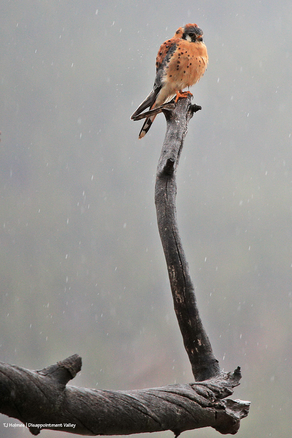
Yes! That’s rain! That’s a kestrel in the rain! And if you look closely, you can see some raindrops bouncing off his shoulder.

What a gorgeous little splash of feathery autumn orange on a dreary – and utterly, gloriously WET – day!

Thank you, Hurricane Polo!


One more year till 20/25

19 09 2026

Next year, this date – Sept. 19 – will mark 20 years since I started documenting Spring Creek Basin’s mustangs.

TWENTY. YEARS.

Sometime next fall (I don’t remember that exact date now), I’ll mark *25* years since the first time I visited Spring Creek Basin – in the rain, in a van full of people I didn’t know, and we didn’t see horses because we never actually got *into* the basin (even if it had been dry, a van might not have been the best choice of vehicle?!). I went back soon after that by myself … and, well, now it’s been 24 years *this* fall. You know that saying “blood, sweat and tears”? Yeah … it’s been ALL of that … a whole lotta alla that.

That means this fall marks my 19th (today) and 24th anniversaries. I still find that pretty shocking to say out loud.

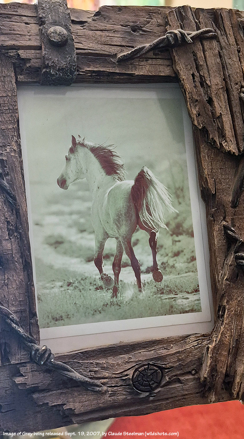
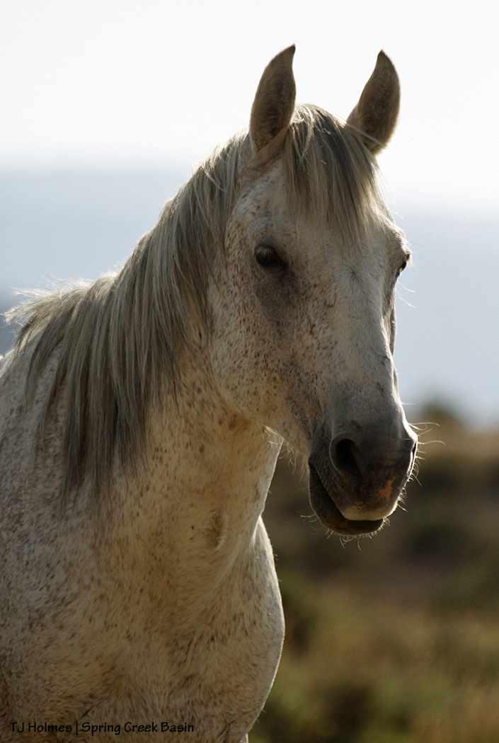
Two thousand seven was a roundup year in Spring Creek Basin. It was the third that decade (and we still had 2011 to come). BLM said the stallion known to most as Traveler (to me as Grey) would stay. They promised. … One guy broke that promise. … One guy made it right. Grey went to Cañon City, and about a week after he had been removed, we brought him back to Southwest Colorado, where his two-week quarantine turned into three weeks (courtesy of the promise-breaker). Four weeks after he left Spring Creek Basin, David and Pati Temple returned Grey/Traveler to the basin, Pati opened the trailer door, and he returned to his wild life, where he lived until his passing a few years ago.

Photo print of Grey by Claude Steelman moments after he was released Sept. 19, 2007, into Spring Creek Basin

“He’ll never have a band again,” the BLM promise-breaker said dismissively at the time. Within a month and a half, Grey had a band again.

Grey’s Return Day was Sept. 19, 2007. After the pomp of Grey’s momentous release (a couple of other people also were there, including renowned Durango-based wildlife photographer Claude Steelman), I stayed in the basin to start documenting every mustang I found. It took three months of weekends. Nineteen wild and crazy – and now, immensely satisfying – years ago.

Grey, toward the end of his life; we thought he was close to 30

So today, I celebrate both the anniversary of Grey’s return and release and the day I started documenting my beloved mustangs, what has become the path of my heart through this lifetime.

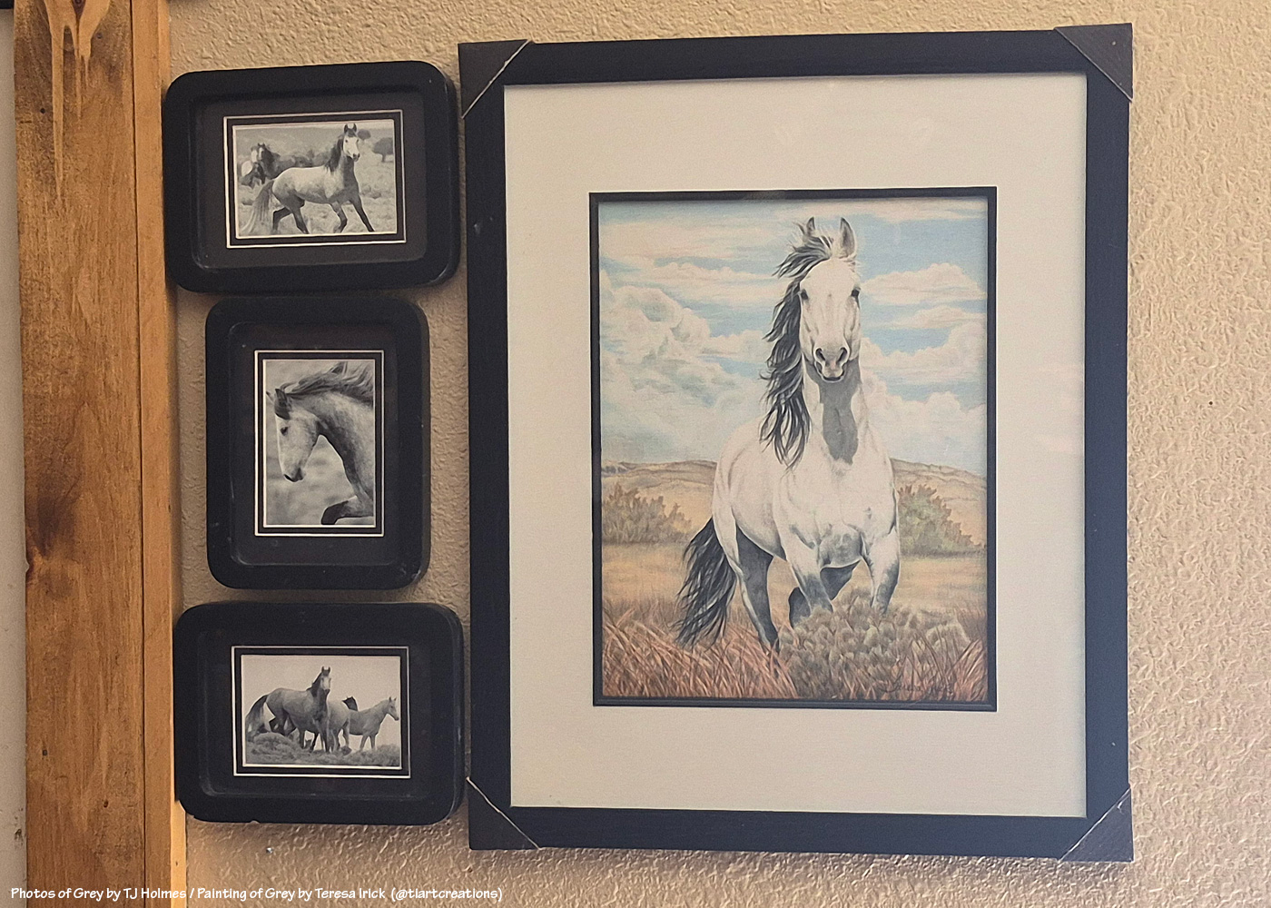
My *wall of Grey*; photos of Grey by me circa 2003-2004? Gorgeous painting of Grey by talented Colorado artist Teresa Irick (@tiartcreations on Instagram) based on a photo by me

When I first started this mustang-advocacy journey, 20 years into the future felt like some random date that would never arrive. Now, wow.

I want to do something kinda fun to mark the occasion next year, and this is a head’s up. A few of you have read and commented and shared the mustangs for a lot of years now, and I’d like to send you each a photo print of the mustangs. I probably haven’t taken it yet, but I have a year (!), and I’ll let you choose. You might know who you are. 🙂 I thought I’d also ask readers – on that date, and don’t worry, I’ll remind ya’ll ahead of time – to leave a comment on that post, and I’ll put all your names in a hat and mix ’em all up, and I’ll have a mustang friend pick a name and send that person a pic, too. I want to celebrate YOU who support and love these mustangs, too! There also are a handful of people who have been with me for long years on this mustang journey, and I want to recognize them, too (more about them next year).

Hollywood and his mares, 2019; Hollywood and Houdini are both gone now … Shane, Alegre and Maia are still together

When you’re starting a thing, you never know where that thing is going to go, how it’s going to go, how long it’ll go on. When you have a burning desire to do something strong, something worthwhile, again, you just never know. That’s the future. … That’s LIFE.

So many people have had a hand (even just some fingers) in the accomplishments realized for bettering the management and preservation of Spring Creek Basin’s mustangs, and I can’t even imagine (and I don’t wanna) what path my life would have followed if I hadn’t discovered this herd and all the amazing people I’ve met along the way. We’ve all shared something: love of horses. Love of WILD horses. Love of mustangs.

Remember that promise-breaker? I realized several years ago that I’m *grateful* to him. I definitely couldn’t see it at the time of what felt like deep betrayal by the system, but if not for that guy, would my Irish stubbornness have come to the fore and would I have dug my boots and heart so deep into ground I’d never known but has become my rooted ground?? As I said: *grateful*.

Winona with sons Cheveyo and Lyra; Lyra is gone now, and Cheveyo is a band stallion; Winona, of course, is one of our wise ones

And you know what? Holy … horse. 🙂 Spring Creek Basin Herd Management Area today is one of the best managed herds in the country (if not the best? forgive me a tiny bit of bias, please, but I don’t know of any others quite like ours). I am so grateful to the BLM folks at Tres Rios Field Office who made that happen and continue to work with our shared goal in mind.

Because we shared a dream and a goal and got to work doing it, not sitting by waiting for someone else to come along and dig in and get ‘er done. I sure didn’t start that dream for Spring Creek Basin, but I tip my visor to those who did … those who welcomed me to the fold so I could join the journey to the goal. And in that time, we have gotten done EVERYTHING we’ve aimed to achieve … bar one that we haven’t gone full force on, and that’s in the hands of bureaucrats, really, which is unfortunate, but it’s still possible.

Comanche’s band in the dust of early summer, 2020

I’ll probably (of course I will) write another long-winded post about this on my actual 20th anniversary, but on this, my 19th, *thank you* to every single person who has given even the tiniest bit of love to Spring Creek Basin’s mustangs. My love and gratitude to each one of you.

And hang on for (at least!) another year, with the mustangs and me, to celebrate the big 2-0. 🙂 No worries: The 20th won’t be anywhere close to the end. To paraphrase something I heard someone say someone told him: I will continue to make as positive an impact as I can in all the time I’m given in and for Spring Creek Basin and its mustangs.

I’m so glad you’re here, with us.

*Grateful*

Comanche’s band, under the rainbow, 2020; Comanche also is gone now


9/11

11 09 2026

Never forget.

We are better united.


Bats, baby!

5 09 2026

Surveying bats by sound isn’t what most people would think of as exciting.

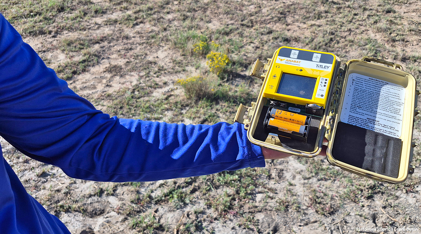
You hike out, put up a pole, do some techy stuff, lock the box and hide the wires from mouthy varmints and curious critters, and that’s it. You don’t actually SEE the bats (nocturnal/crepuscular as they are).

…

Ha! Those are the mechanics of it, but what BLM biologists and other biologists and scientists can learn from that type of little jaunt is SOOOOO cool!!

After BLM wildlife biologist Bridget Frederick returns for the pole and things, she’ll take the recording box back to the office and run it through the computer to find out what species of bats are fluttering around the night sky in that area of Spring Creek Basin (location mum to protect the ongoing coolness of future surveys). BLM folks have been monitoring this site since 2020, and altogether, Bridget (and other wildlife biologists?) monitors 21 sites across all of the half a million BLM acres in Southwest Colorado managed by Tres Rios Field Office. (And if you’re a BLM wildlife biologist who invited a recovering journalist along for the adventure (OK, OK, I may totally have invited myself along), you patiently (!) answer lots and lots of questions!)

She uses a program called “sonobat” to decipher the echolocation squeaks of the individual bats and identify the species of bats picked up by the recordings (like listening for and identifying the songs and calls and trills of birds), and it’s all part of the North American Bat Monitoring Program.

And you thought Spring Creek Basin was all about mustangs. 🙂

Hopefully I’ve done some work to dispel that notion, but I’m pretty sure I’ve never written about bats before! To know that we’re (Spring Creek Basin and Tres Rios) contributing to the overall knowledge of bats is just the sort of thing to make me giddy. Bridget said they’re basically surveying the overall population of bats in the area, including fluctuations in those populations because overall, bat numbers are declining, just like bees and songbirds. Part of that might be diminishing habitat, insecticides, challenges to migration corridors (just like with big mammal species like deer, elk and pronghorns) and a particular challenge: white-nose syndrome. That’s a deadly fungal disease affecting hibernating bats in North America, and NABat is tracking its devastating impacts across the continent. While BLM’ers and others haven’t found it particularly in our area, it has been found elsewhere in Colorado and in neighboring Utah.

As if The Colorado Sun knew I was just about to post about bats, it ran this article yesterday: “Colorado’s bats live in surprising places. Biologists, and volunteer observers, are trying to find them; From abandoned mines to high mountain slopes, biologists and volunteers with Colorado Bat Watch are searching for bats to better understand their populations as white-nose syndrome spreads.” Check it out; maybe it will inspire you to join a “bat watch” group in your area.

Bridget sent this about the multitude of different species they’ve heard in the last six years in that part of Spring Creek Basin:

Here is a list of bats that we have recorded at the site in Spring Creek Basin. We started this site in 2020:

Myotis californicus (MYCA | California bat)
Parastrellus hesperus (PAHE | Canyon bat)
Tadarida brasiliensis (TABR | Brazilian free-tailed bat)
Eptesicus fuscus (EPFU | Big brown bat)
Myotis ciliolabrum (MYCI | Western small-footed bat)
Idionycteris phyllotis (IDPH | Allen’s big-eared bat)
Lasionycteris noctivagans (LANO | Silver-haired bat)
Myotis yumanensis (MYYU | Yuma bat )
Myotis evotis (MYEV | Western long-eared bat)
Myotis thysanodes (MYTH | Fringed bat)

Can you even believe all those different species of bats? As anyone who has visited and been subjected to the dreaded gnats and biting flies can attest, we (should) love bats!

Before we go any further, I won’t hear a negative thing about bats because bats are bazinga-cool! (What’s a Batman reference?) Honestly, humans should be doing as much for bats as for butterflies and bees and cuddlier things (ha!). Other than the moon, I’m not real great at photographing things in the dark, but wow, I’d love to catch sight – and a photo – of any kind of bat. If I was confident it wouldn’t be messed with, I’d love to put a trail cam up at the water-catchment trough not too far away. Wouldn’t it be cool to see what critters use it other than the mustangs?

More from Bridget:

“Yes, that is the total list of bats that we have confirmed over the years at that site. It does vary a bit year by year what bats are detected. … We leave the detector up at least 4 nights, but sometimes longer because of weather or road conditions. We have 2 to 3 detectors out at the same time. This is the only site in Spring Creek Basin that we sample. We have 21 sites that we sample across TRFO …”

Now let’s join Bridget for our little excursion!

Off we go! The siting of the bat pole in the location where she places it pre-dates the water catchment, which was built by Mike Jensen, Garth Nelson, Daniel Chavez, Jim Siscoe and me in 2021. Just like we saw with the little bird friend drinking with the mustangs there, I hope it has encouraged use by bats! As Bridget said, the bats are likely to be drawn to the water just as much as the insects, their prey.

Nope, not a trail camera but a bat listener! I think it will catch the sounds of anything, and she can set it to listen at particular times. For the bats, which are the particular goal at this site, it’s set to record between sunset and sunrise. (I mean, how cool to listen to the quiet sounds of the night in what has to be one of the quietest places anywhere!)

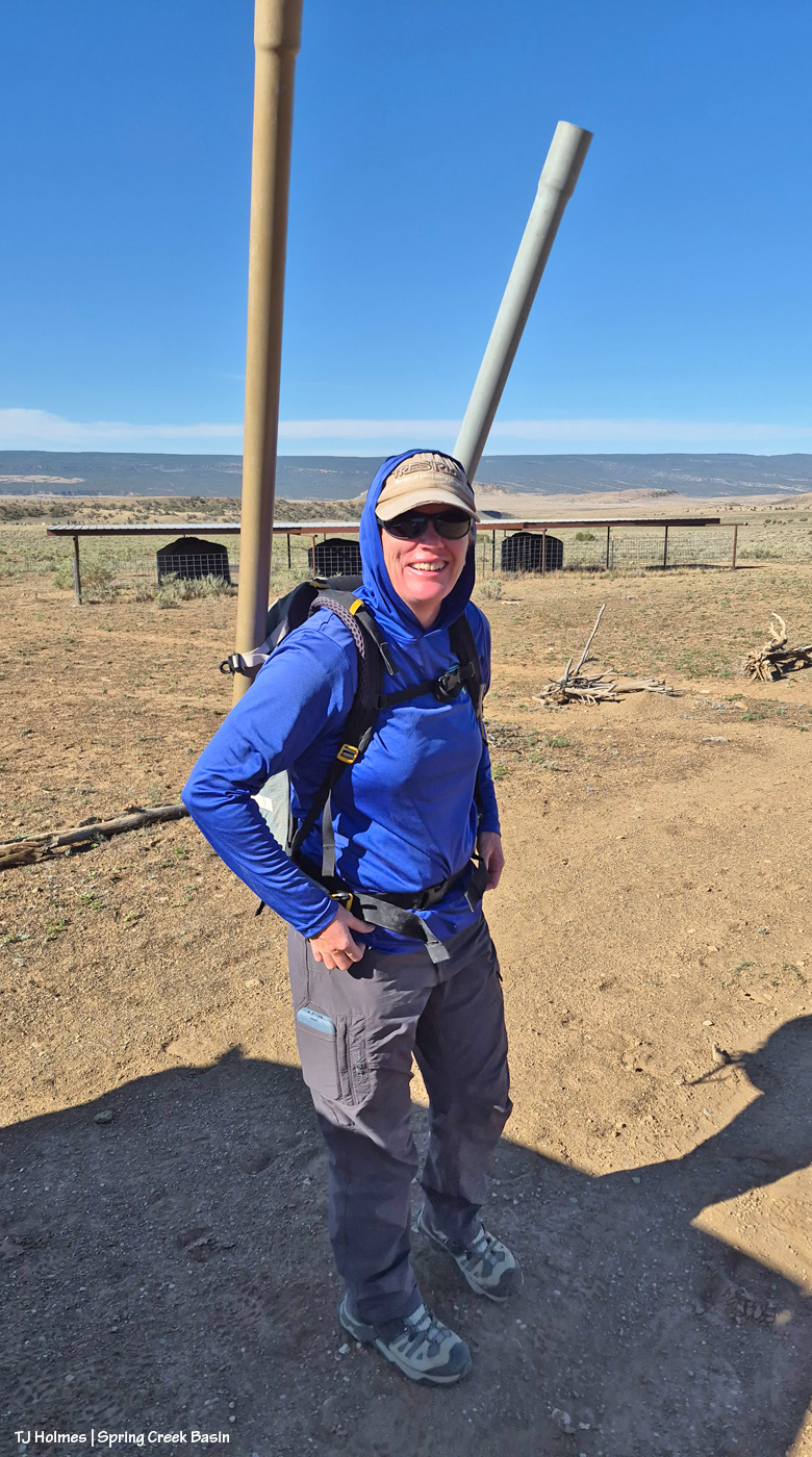
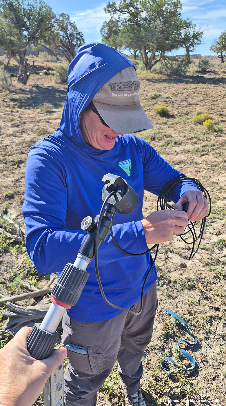
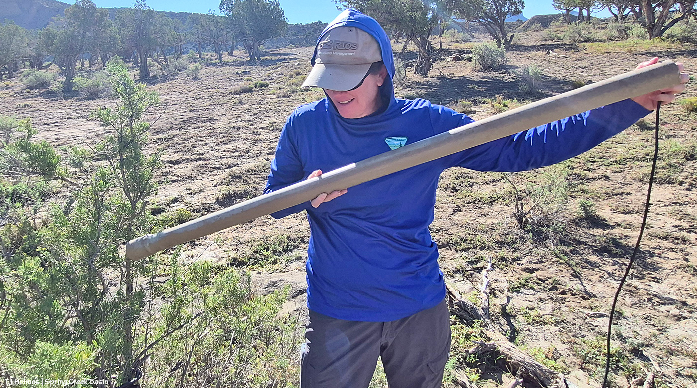
I got to hold the bat pole (!) while Bridget threaded the microphone and cord through the bit on the top (that’s what collects the sounds) and then the other little part that will plug into the listening box.

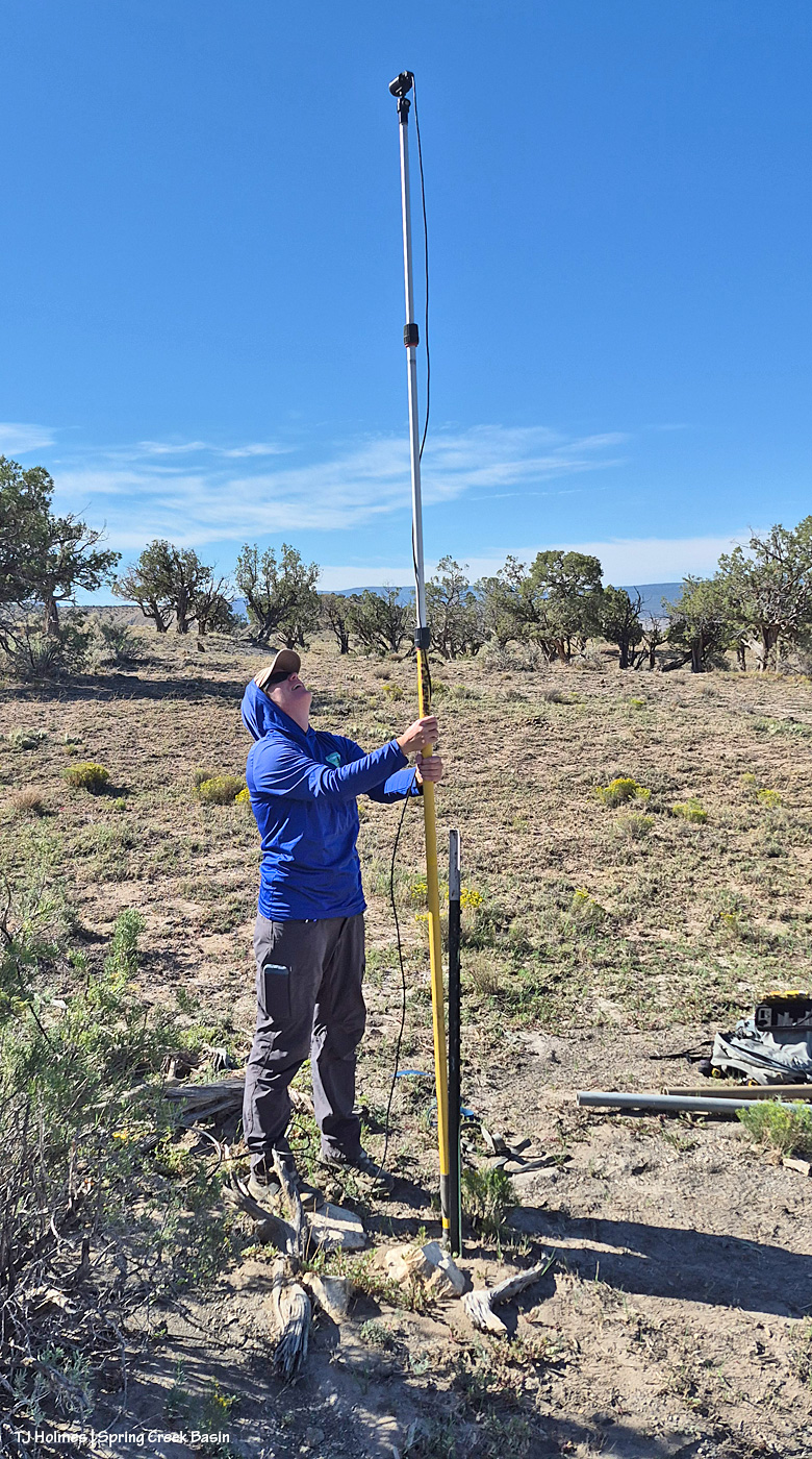
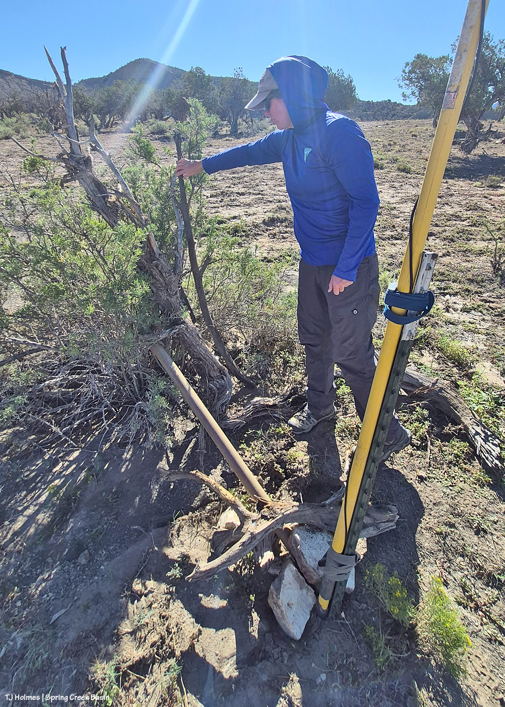
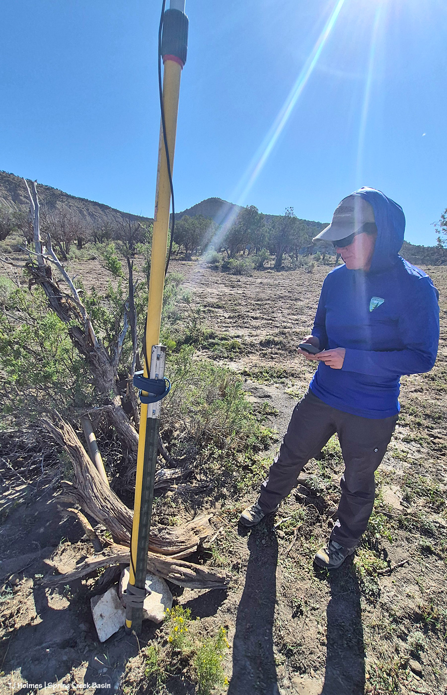
And it’s up! It extends between those black parts, much like the legs of a (really tall!) monopod.

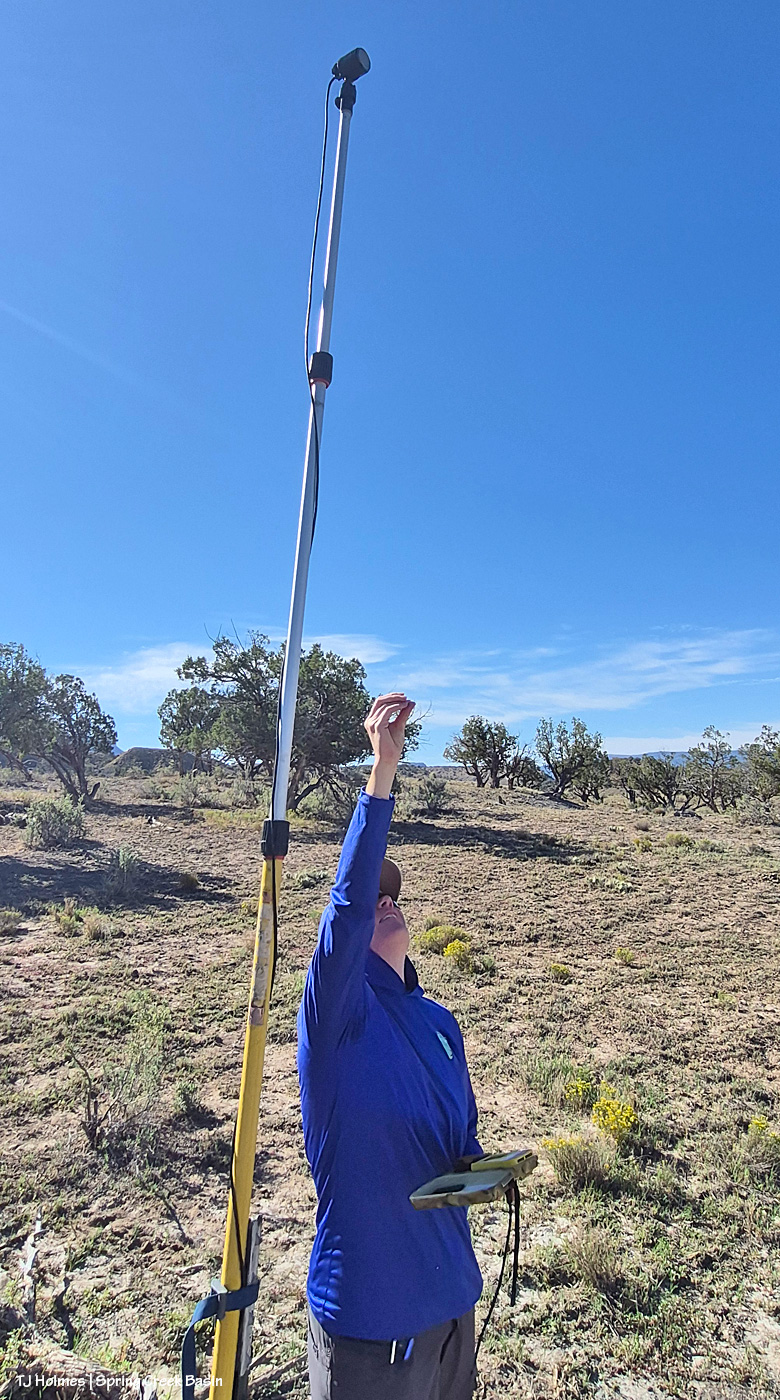
Bridget sets the pole so the microphone – the part at the very top – is that what you call it? it’s not delivering sound but gathering it in! – is facing the big open area. Here, she’s testing to make sure it’s picking up sound.

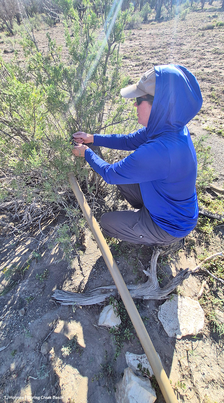
Did you wonder about the PVC pieces Bridget was carrying in the first pic? She runs the cord from the microphone down along the bat pole and then through the PVC piece (and possibly a second one, depending on distance to where she stashes the listening box) to deter curious critters and mouthy varmints! If you don’t already know, mustangs – and chipmunks and ravens and a variety of other wildlife – can be VERY curious critters. 🙂

Then she coils up the excess wire between the PVC and the listening box in the (in this case) handy greasewood before …

… camouflaging it to try to keep passing critters from noticing and investigating (because they will if they do).

One last check that it synced with her phone, and the bat pole was ready for the business of listening for bats (well, as soon as the sun set)!

Bridget has retrieved the pole by now (she sets them out for about four days on average), and she’ll be listening for the bat squeaks to tell her what kinds of bats have been fluttering around Spring Creek Basin’s night sky! I’ll try to follow up with her to learn what kinds of bats the pole’s microphone and box picked up and recorded this time.

I’m telling ya’ll: Any/all kinds of “-ology” you want to study can be found in Spring Creek Basin (and, really, all of America’s public lands, of course). BLM scientists like Bridget are out there adding to the knowledge base we have of even the smallest critters like bats, and I find that so incredibly fascinating!

If you have any questions for Bridget, ask them in the comments, and I’ll get them to her (and then get the answers back to you). I’ve learned so much from her … from all the BLM folks I’ve been lucky enough to work with here in Southwest Colorado!

(Perk: Yes, we DID see mustangs on our way to place and leave the bat pole! And I’m pretty sure she and her partner for the retrieval saw more when they picked it up. 🙂 )