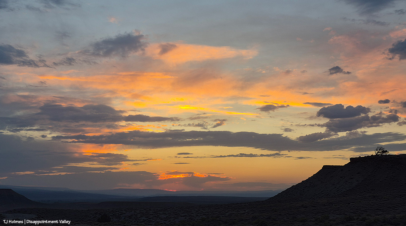
Next year, this date – Sept. 19 – will mark 20 years since I started documenting Spring Creek Basin’s mustangs.
TWENTY. YEARS.
Sometime next fall (I don’t remember that exact date now), I’ll mark *25* years since the first time I visited Spring Creek Basin – in the rain, in a van full of people I didn’t know, and we didn’t see horses because we never actually got *into* the basin (even if it had been dry, a van might not have been the best choice of vehicle?!). I went back soon after that by myself … and, well, now it’s been 24 years *this* fall. You know that saying “blood, sweat and tears”? Yeah … it’s been ALL of that … a whole lotta alla that.
That means this fall marks my 19th (today) and 24th anniversaries. I still find that pretty shocking to say out loud.
Two thousand seven was a roundup year in Spring Creek Basin. It was the third that decade (and we still had 2011 to come). BLM said the stallion known to most as Traveler (to me as Grey) would stay. They promised. … One guy broke that promise. … One guy made it right. Grey went to Cañon City, and about a week after he had been removed, we brought him back to Southwest Colorado, where his two-week quarantine turned into three weeks (courtesy of the promise-breaker). Four weeks after he left Spring Creek Basin, David and Pati Temple returned Grey/Traveler to the basin, Pati opened the trailer door, and he returned to his wild life, where he lived until his passing a few years ago.
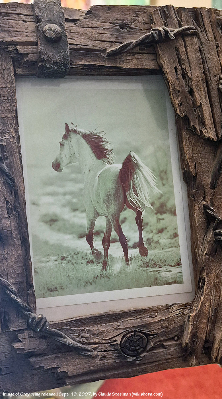
Photo print of Grey by Claude Steelman moments after he was released Sept. 19, 2007, into Spring Creek Basin
“He’ll never have a band again,” the BLM promise-breaker said dismissively at the time. Within a month and a half, Grey had a band again.
Grey’s Return Day was Sept. 19, 2007. After the pomp of Grey’s momentous release (a couple of other people also were there, including renowned Durango-based wildlife photographer Claude Steelman), I stayed in the basin to start documenting every mustang I found. It took three months of weekends. Nineteen wild and crazy – and now, immensely satisfying – years ago.
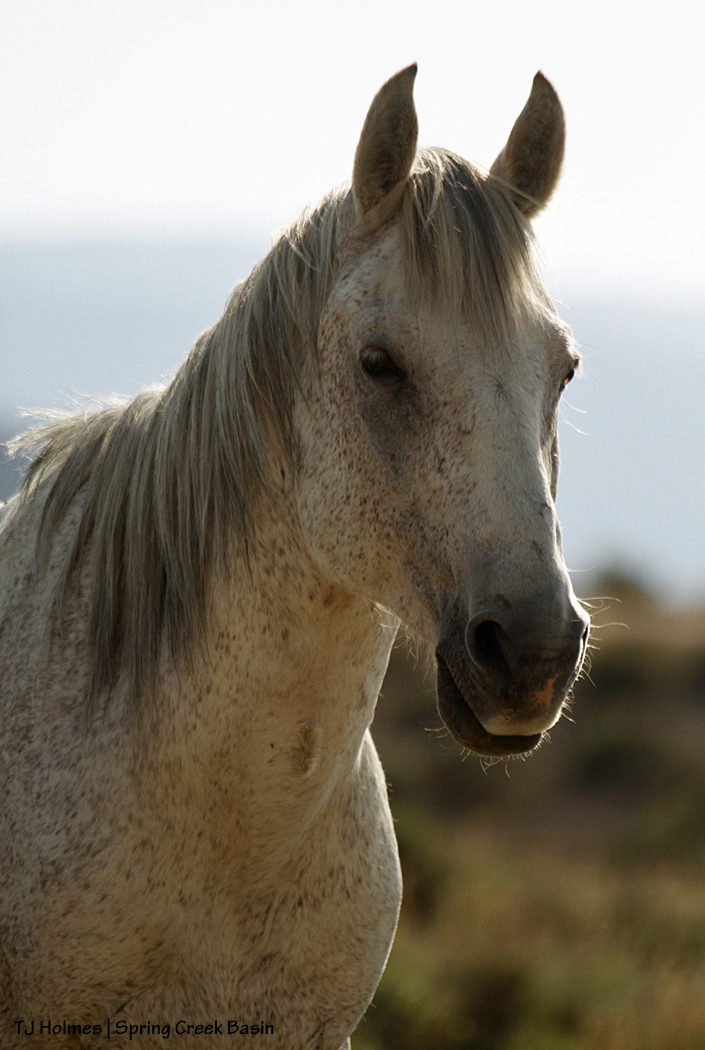
So today, I celebrate both the anniversary of Grey’s return and release and the day I started documenting my beloved mustangs, what has become the path of my heart through this lifetime.
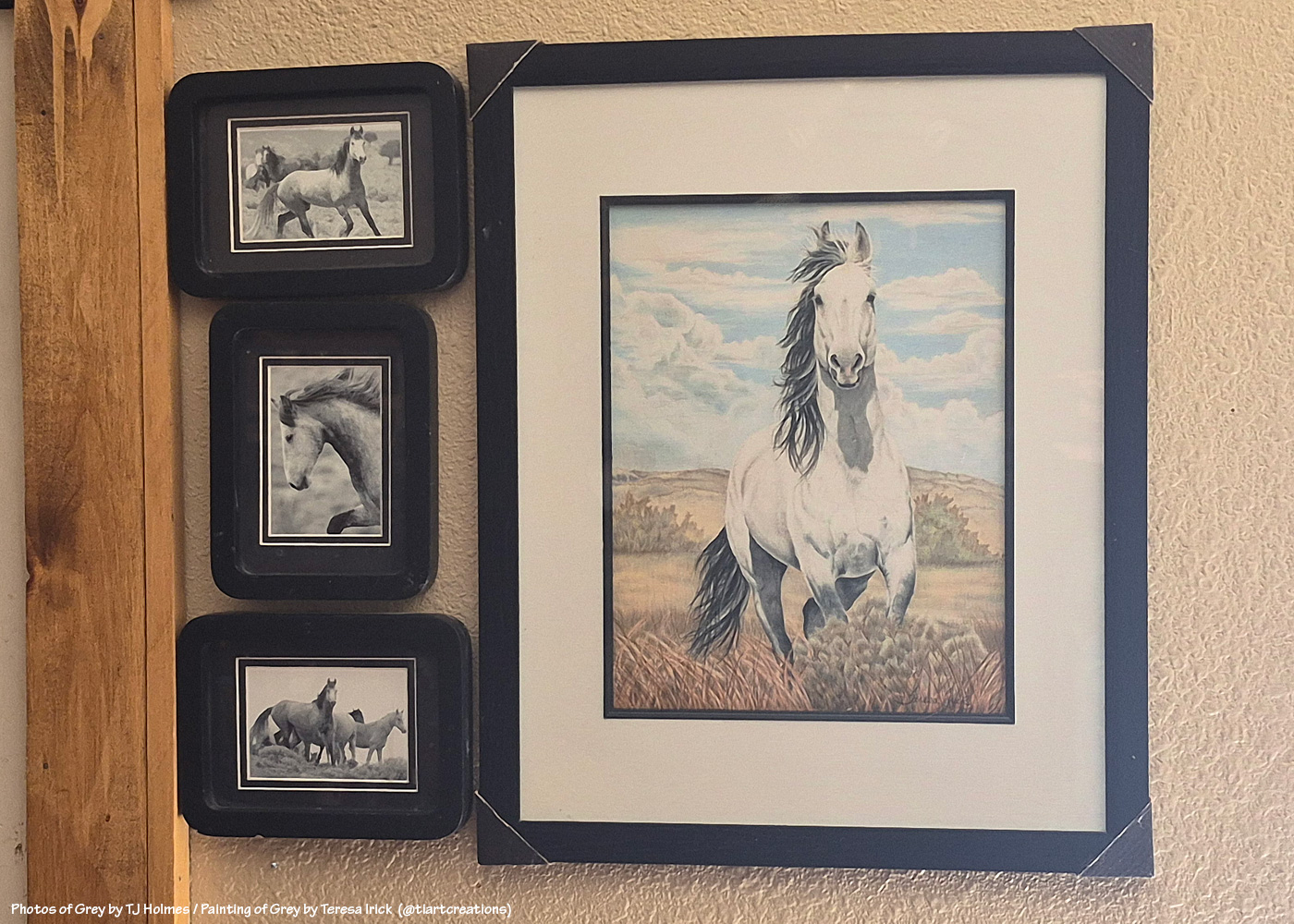
My *wall of Grey*; photos of Grey by me circa 2003-2004? Gorgeous painting of Grey by talented Colorado artist Teresa Irick (@tiartcreations on Instagram) based on a photo by me
When I first started this mustang-advocacy journey, 20 years into the future felt like some random date that would never arrive. Now, wow.
I want to do something kinda fun to mark the occasion next year, and this is a head’s up. A few of you have read and commented and shared the mustangs for a lot of years now, and I’d like to send you each a photo print of the mustangs. I probably haven’t taken it yet, but I have a year (!), and I’ll let you choose. You might know who you are. 🙂 I thought I’d also ask readers – on that date, and don’t worry, I’ll remind ya’ll ahead of time – to leave a comment on that post, and I’ll put all your names in a hat and mix ’em all up, and I’ll have a mustang friend pick a name and send that person a pic, too. I want to celebrate YOU who support and love these mustangs, too! There also are a handful of people who have been with me for long years on this mustang journey, and I want to recognize them, too (more about them next year).
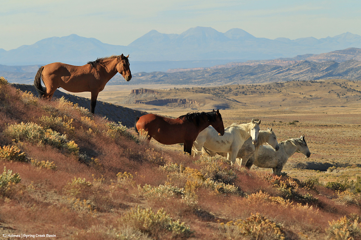
Hollywood and his mares, 2019; Hollywood and Houdini are both gone now … Shane, Alegre and Maia are still together
When you’re starting a thing, you never know where that thing is going to go, how it’s going to go, how long it’ll go on. When you have a burning desire to do something strong, something worthwhile, again, you just never know. That’s the future. … That’s LIFE.
So many people have had a hand (even just some fingers) in the accomplishments realized for bettering the management and preservation of Spring Creek Basin’s mustangs, and I can’t even imagine (and I don’t wanna) what path my life would have followed if I hadn’t discovered this herd and all the amazing people I’ve met along the way. We’ve all shared something: love of horses. Love of WILD horses. Love of mustangs.
Remember that promise-breaker? I realized several years ago that I’m *grateful* to him. I definitely couldn’t see it at the time of what felt like deep betrayal by the system, but if not for that guy, would my Irish stubbornness have come to the fore and would I have dug my boots and heart so deep into ground I’d never known but has become my rooted ground?? As I said: *grateful*.
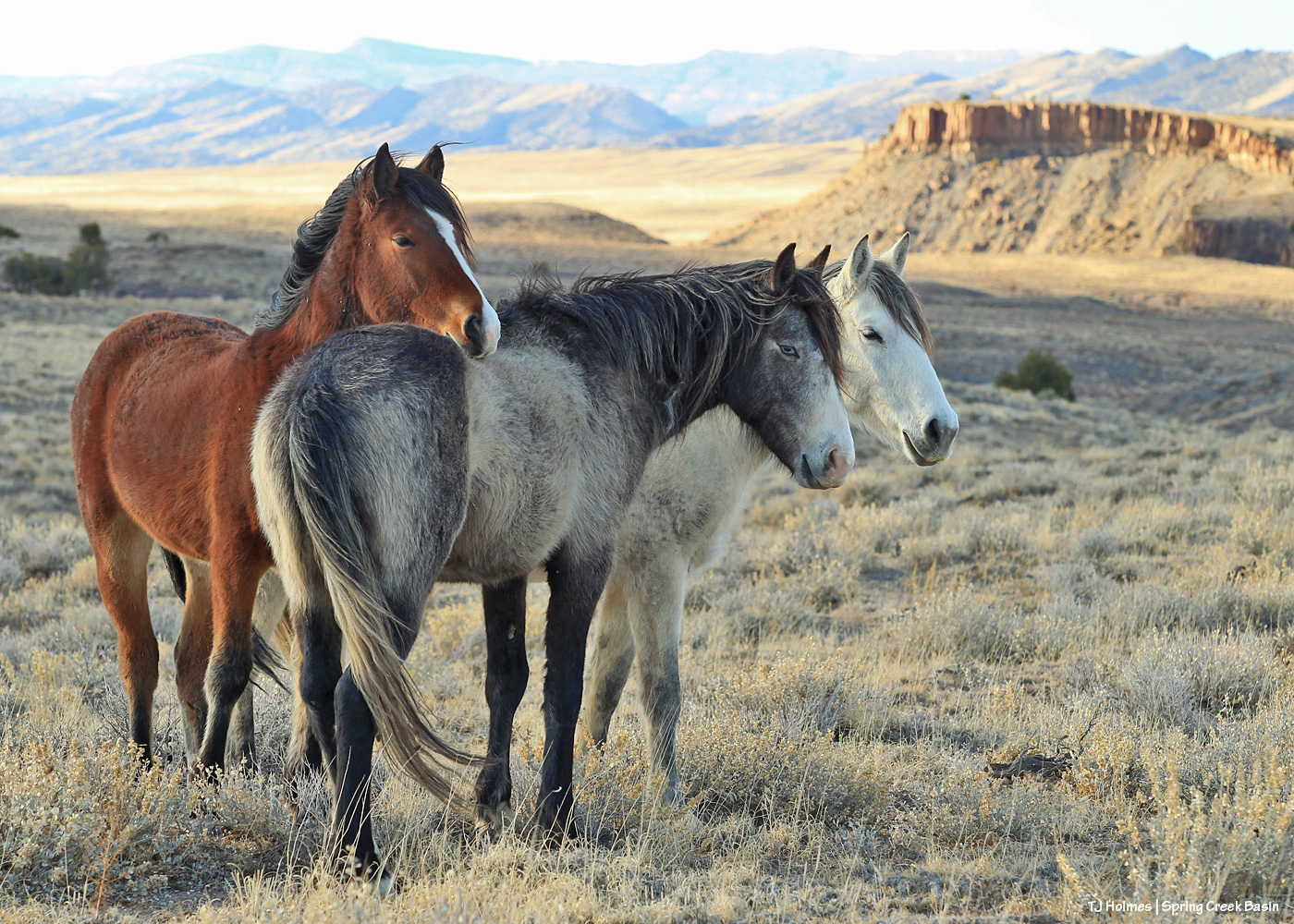
Winona with sons Cheveyo and Lyra; Lyra is gone now, and Cheveyo is a band stallion; Winona, of course, is one of our wise ones
And you know what? Holy … horse. 🙂 Spring Creek Basin Herd Management Area today is one of the best managed herds in the country (if not the best? forgive me a tiny bit of bias, please, but I don’t know of any others quite like ours). I am so grateful to the BLM folks at Tres Rios Field Office who made that happen and continue to work with our shared goal in mind.
Because we shared a dream and a goal and got to work doing it, not sitting by waiting for someone else to come along and dig in and get ‘er done. I sure didn’t start that dream for Spring Creek Basin, but I tip my visor to those who did … those who welcomed me to the fold so I could join the journey to the goal. And in that time, we have gotten done EVERYTHING we’ve aimed to achieve … bar one that we haven’t gone full force on, and that’s in the hands of bureaucrats, really, which is unfortunate, but it’s still possible.
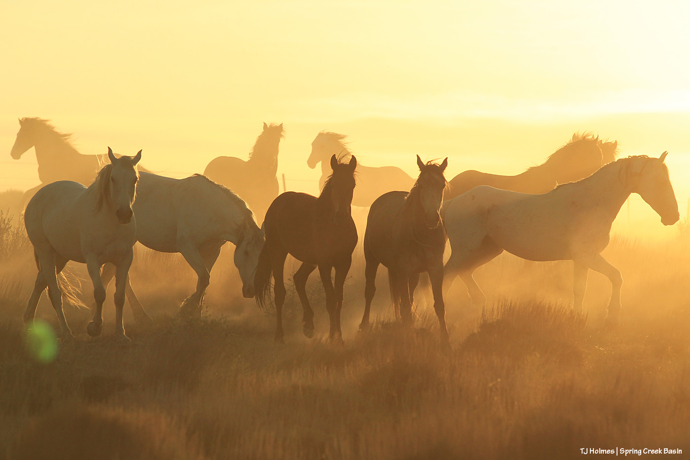
Comanche’s band in the dust of early summer, 2020
I’ll probably (of course I will) write another long-winded post about this on my actual 20th anniversary, but on this, my 19th, *thank you* to every single person who has given even the tiniest bit of love to Spring Creek Basin’s mustangs. My love and gratitude to each one of you.
And hang on for (at least!) another year, with the mustangs and me, to celebrate the big 2-0. 🙂 No worries: The 20th won’t be anywhere close to the end. To paraphrase something I heard someone say someone told him: I will continue to make as positive an impact as I can in all the time I’m given in and for Spring Creek Basin and its mustangs.
I’m so glad you’re here, with us.
*Grateful*
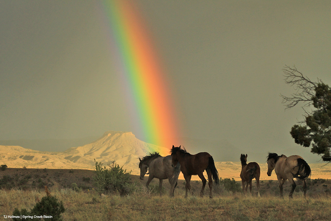
Comanche’s band, under the rainbow, 2020; Comanche also is gone now