Up and coming

9 10 2026

If these kids are representative of the country’s young folks, we’re all gonna be OK. πŸ™‚

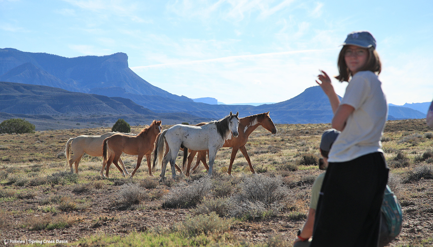
Earlier this week, Disappointment Valley and Spring Creek Basin – and one mustang band! – played host to a group of eighth-graders from Boulder’s Watershed School and three of their teachers. They got to see Buckeye’s band after a long drive from Meeker, where they’d camped after a great visit to the Wild Horse Refuge near Craig. Then they camped above Disappointment Creek, just outside Spring Creek Basin. In the morning, BLM range specialist and herd manager Anton Rambur and range tech Laura Heaton arrived to lead the students in a vegetation-monitoring project up the same hill. Tres Rios Field Office Manager Derek Padilla also came out to see and talk to the kids about the variety of land management that happens throughout BLM public lands in Southwest Colorado.

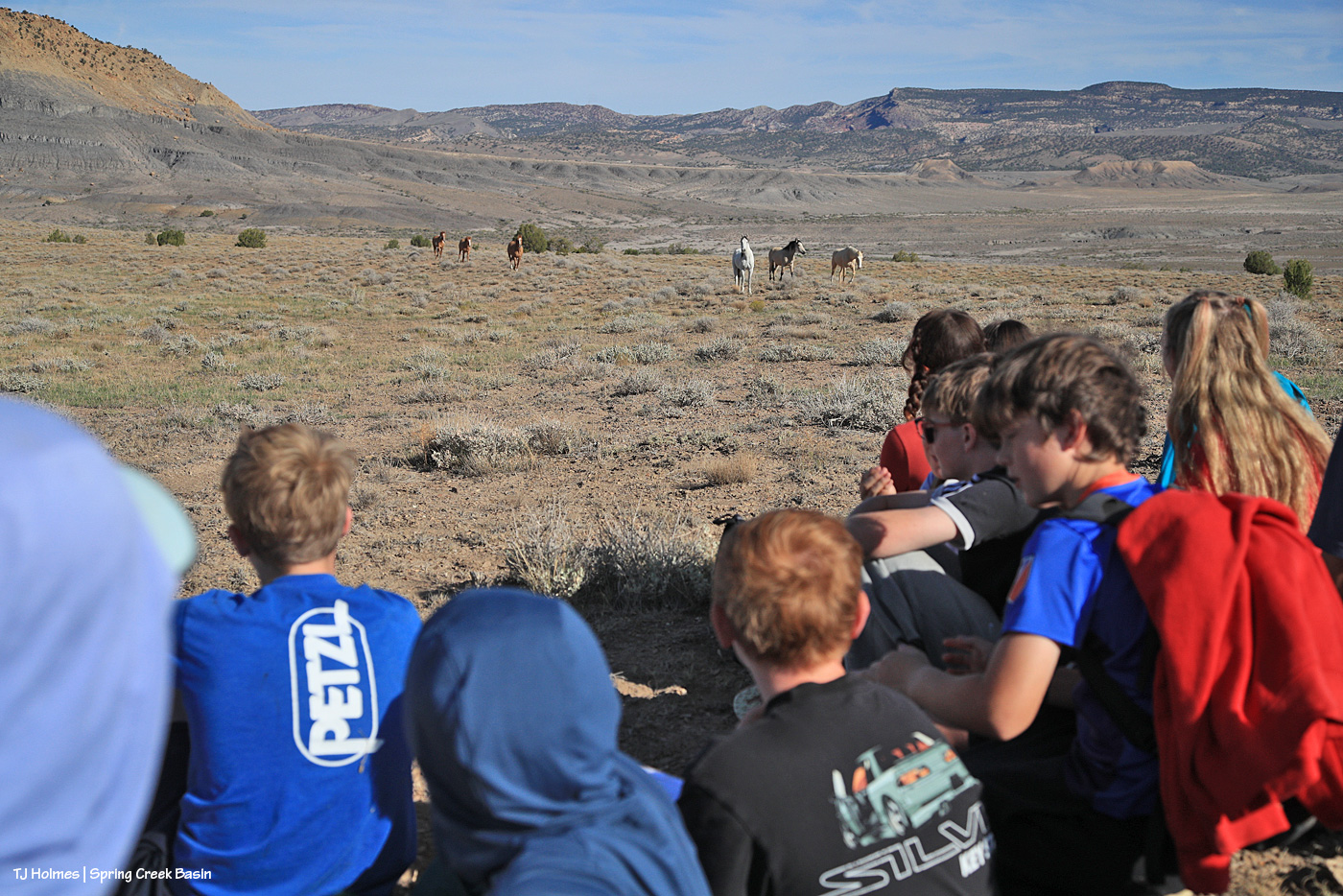
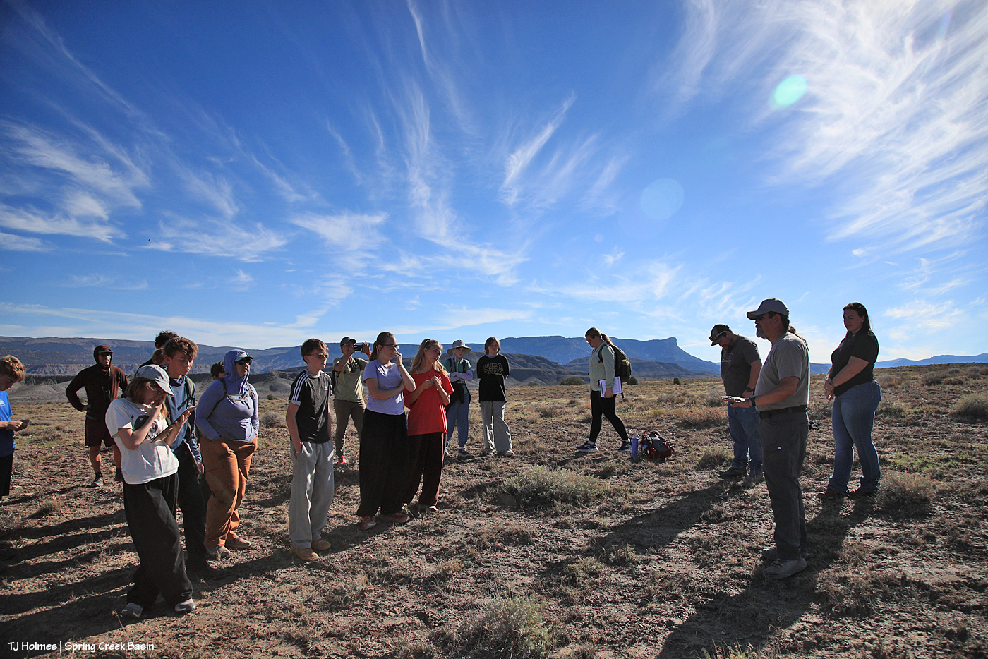
The kids spread out in small groups and pairs to conduct their utilization (grazed/ungrazed bits of galleta (a native, warm-season grass that’s growing after the recent rains) along lines of five steps at a time) under the watchful eye of Buckeye and the band.

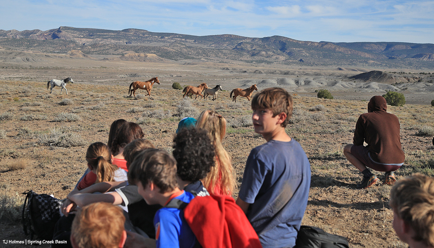
And then, while they listened to Laura and Anton guide them about how to fill out their sheets with the information they’d gathered, Buckeye decided that he and the band were ready for their morning drink … which meant ambling up the trail … and giving the kids a good check-over … before heading down the other side of the hill to the water catchment.

Top THAT, any other school trip ever, anywhere! πŸ™‚

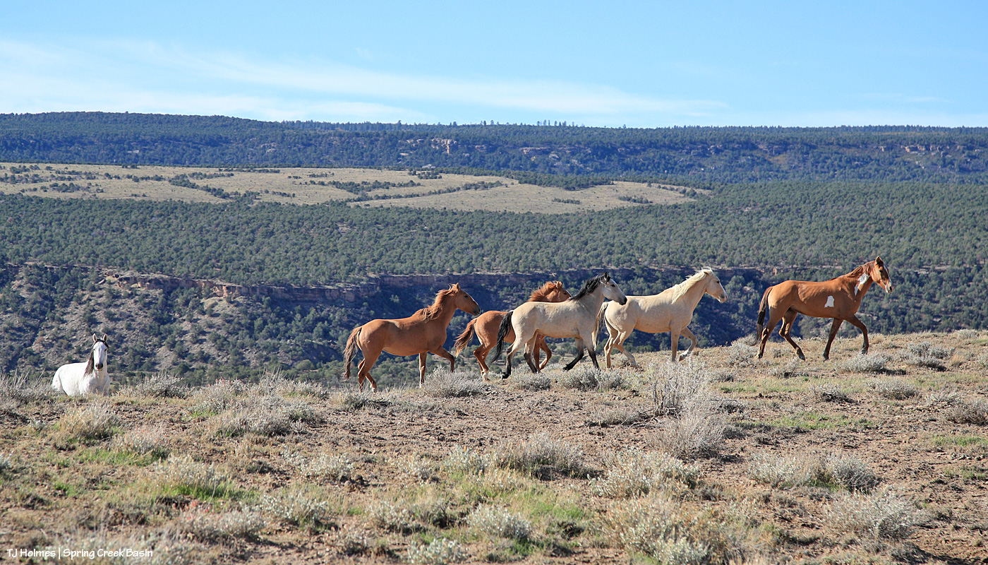
We stayed up top to listen to Derek and give the horses a chance to get down the hill, to the catchment to drink the lovely fresh rainwater in the trough … and they came up a different trail back to the top of the hill, checked us out again and returned to grazing.

Oh, my lovely, wonderful, awesome and amazing mustangs. πŸ™‚ You do me SO proud!

Then back down to the corrals and buses, where Anton and Laura helped them do the math involved in figuring out how much the horses are grazing in that area of the basin. At the end, I heard numbers ranging anywhere from 7 percent to 50 percent use/grazed plants, so even in our drought, we’re in good shape for the horses not eating everything in their paths. And the students learned a little bit about what BLM folks are looking at to manage the rangelands that support wild horses – and other grazing/browsing wildlife like elk, deer and pronghorns.

I got to talk more about PZP and show off my darting rifle and let some of the kids see how light it is and how quiet (no darts involved!). And I marveled the whole time at the insightful, curious questions the kids asked and the answers Anton and Laura gave to provide the kids with a well-rounded picture of what it takes to manage a herd of wild horses on public land in Colorado.

Ahhhhhhhhhhhhhhhhhhhhhh-mazing!

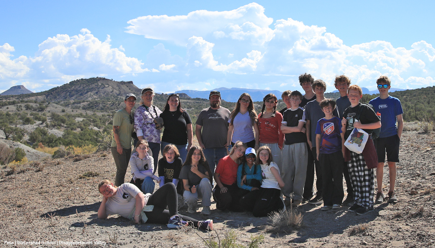
Here follow a load of pix of Watershed School students and teachers Amy, Diana and Pete, BLM’ers Laura, Anton and Derek … and the mustangs they got to see:
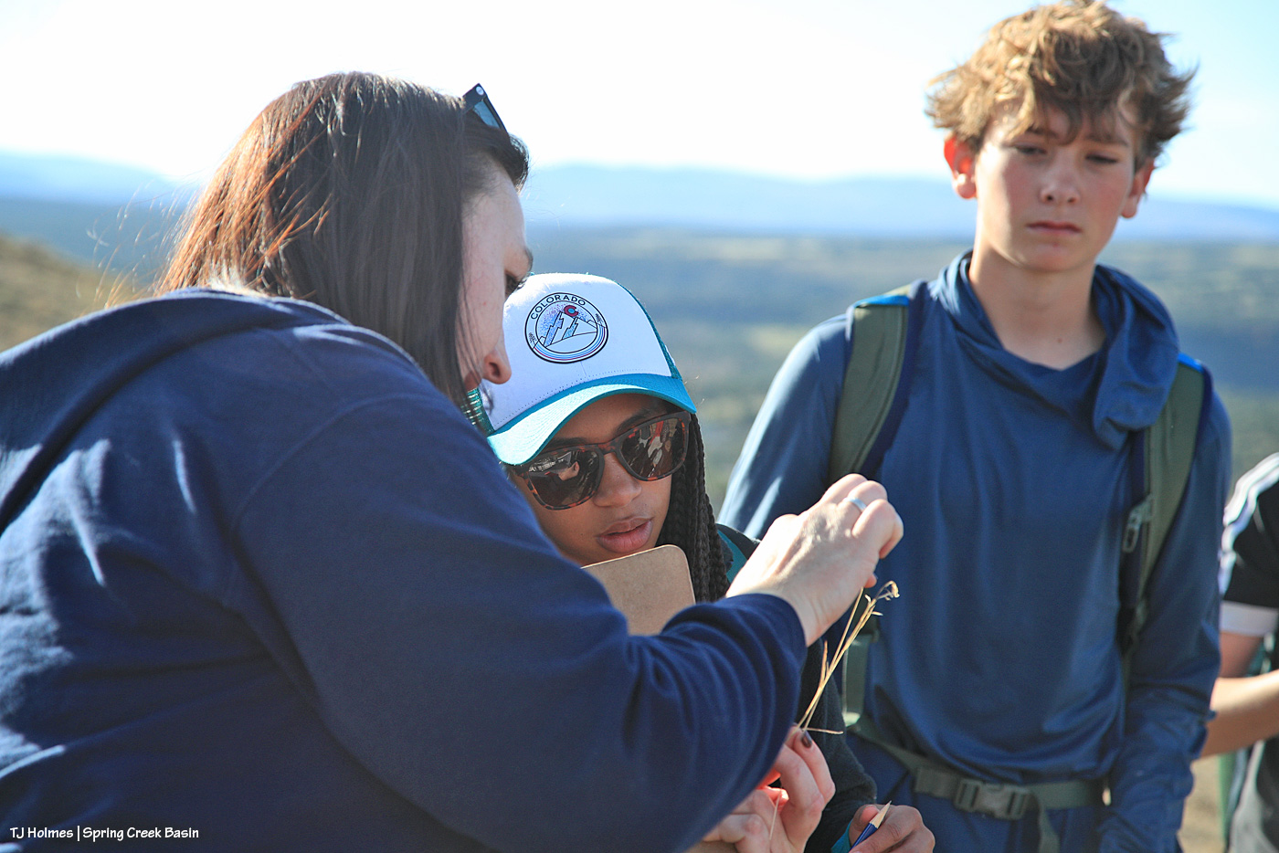
Laura points out characteristics of grasses to students. We saw past-prime cheat grass, and they concentrated on newly growing galleta. (We also saw Indian ricegrass, grama grass, alkali sacaton and/or sand dropseed (my hat is off to you if you can look at the latter two and tell them apart!)
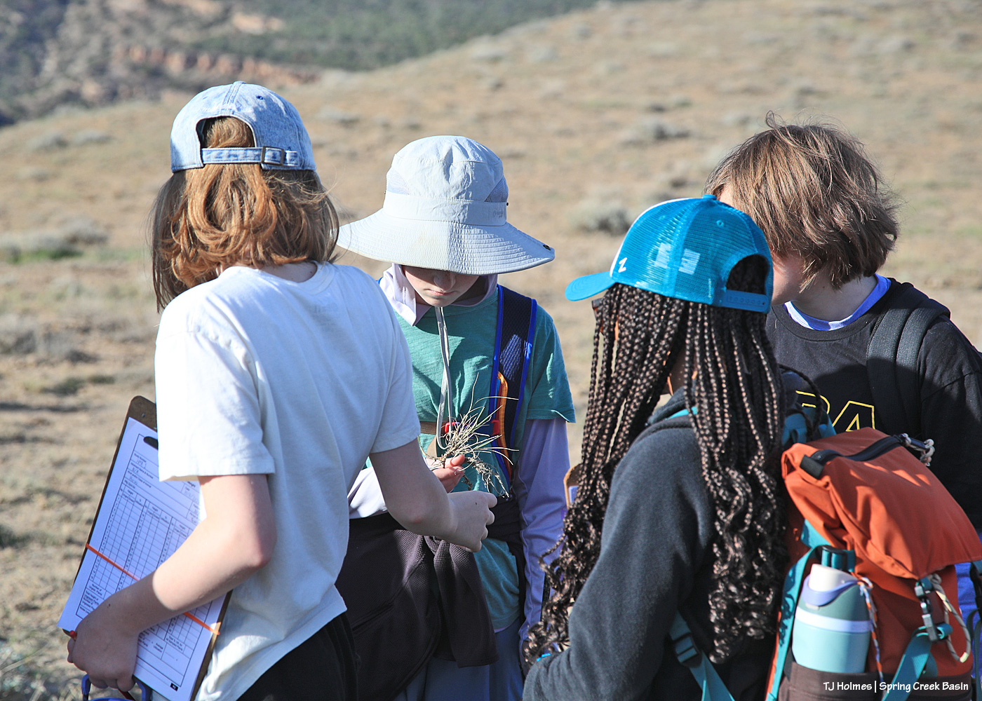
Students examine a clump of grass that shows last year’s growth as well as recent growth.
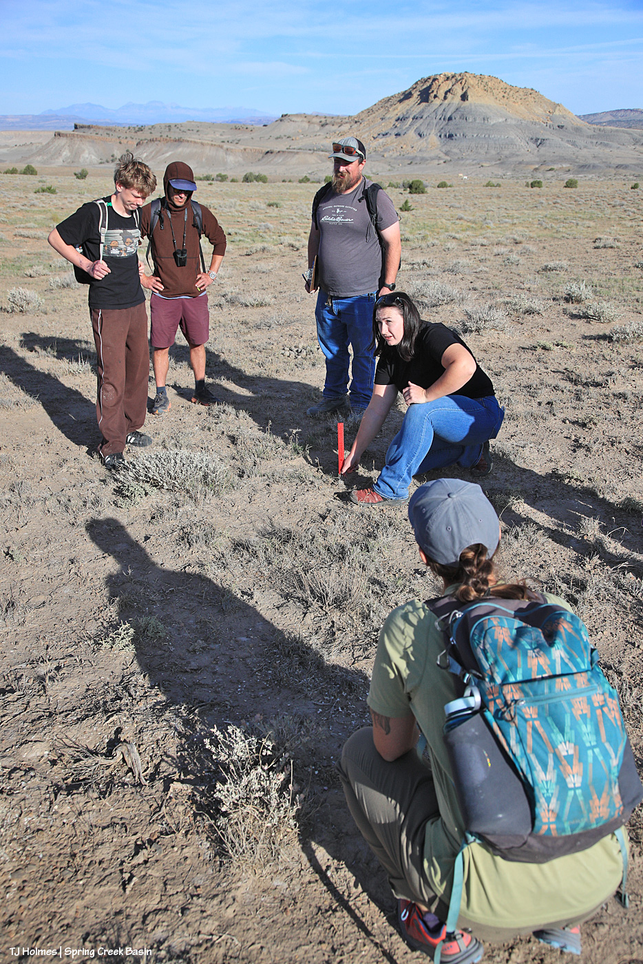
Laura and Anton talk about how to measure clumps of grass. The idea was that the students walked five steps in a line, measured galleta at their toe or within reach … then another five steps … until they’d measured 10 samples. Teacher Amy is in the foreground (this is the second time she has brought one of her eighth-grade humanities classes to Spring Creek Basin; the last time, it poured rain! as you can see in these pix, they lucked out with spectacular October weather), and teacher Pete is in the brown hoodie and camp. … Start to notice the “little white dots” in the distance.
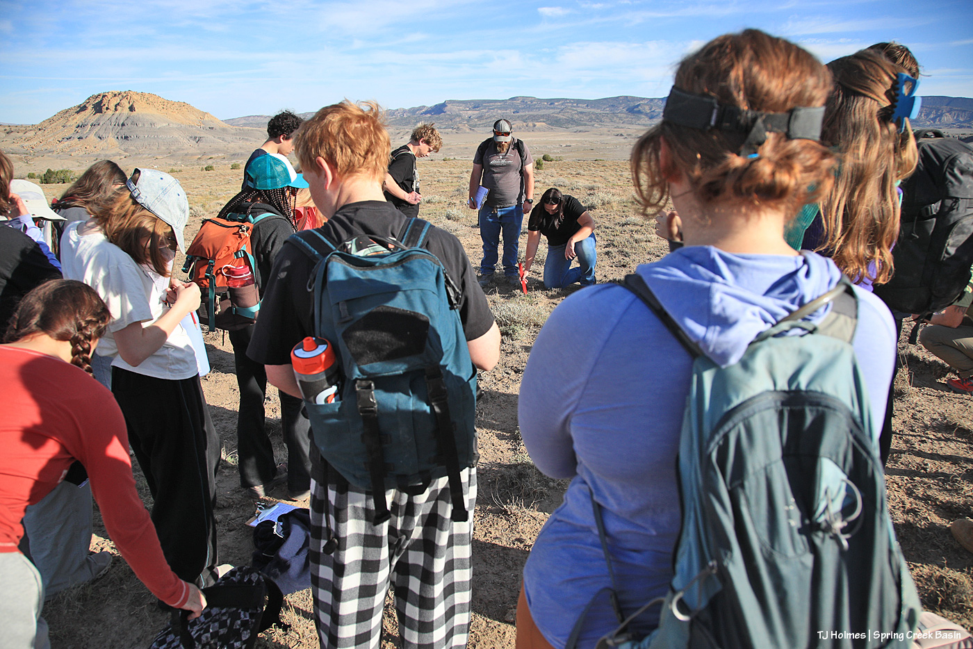
Teacher Diana is at right while the students watch Laura measure the grass clump. For a little perspective, I’m facing nearly directly north toward the main, west-ish part of Spring Creek Basin.
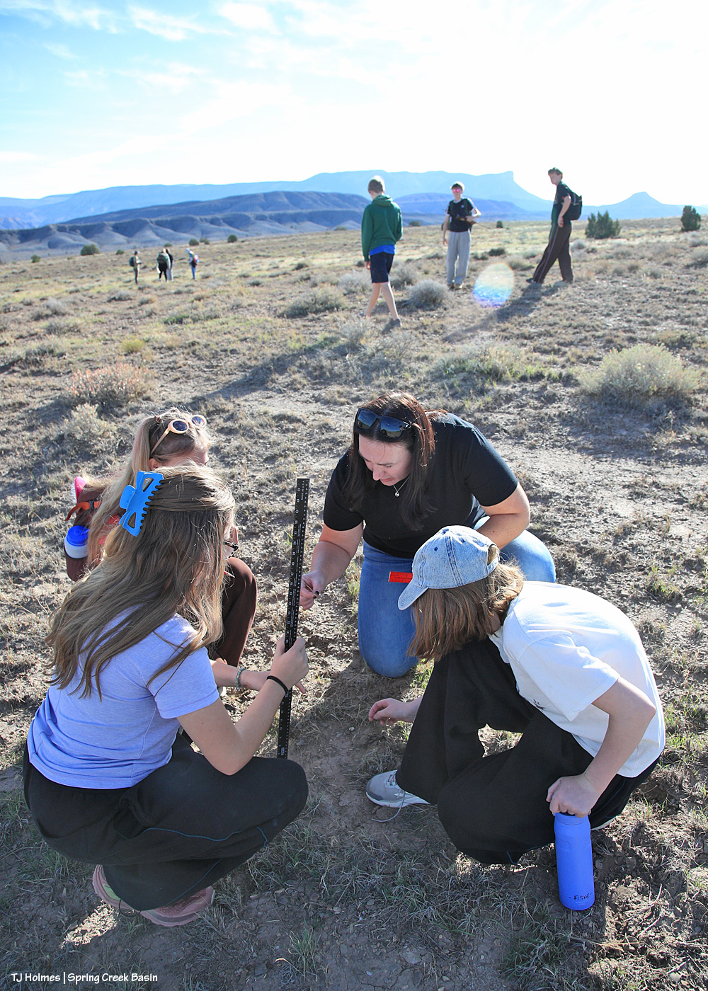
No mistaking that horizon. πŸ™‚ Laura helps one of the small groups of students with their monitoring while two other groups walk their lines in the background.
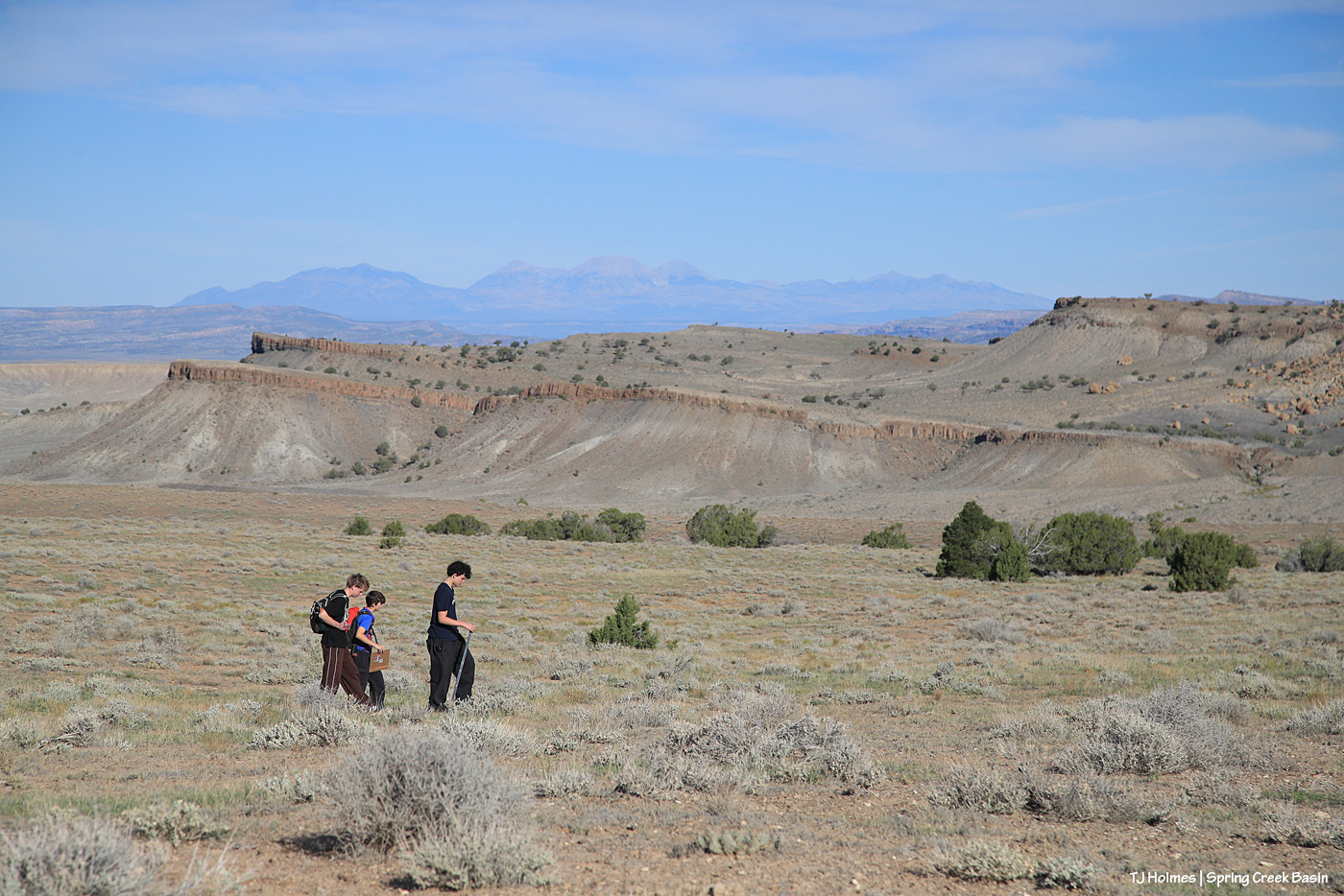
Boys walk their line with the basin’s south-facing rimrocks in the near distance and Utah’s La Sal Mountains in the far distance.
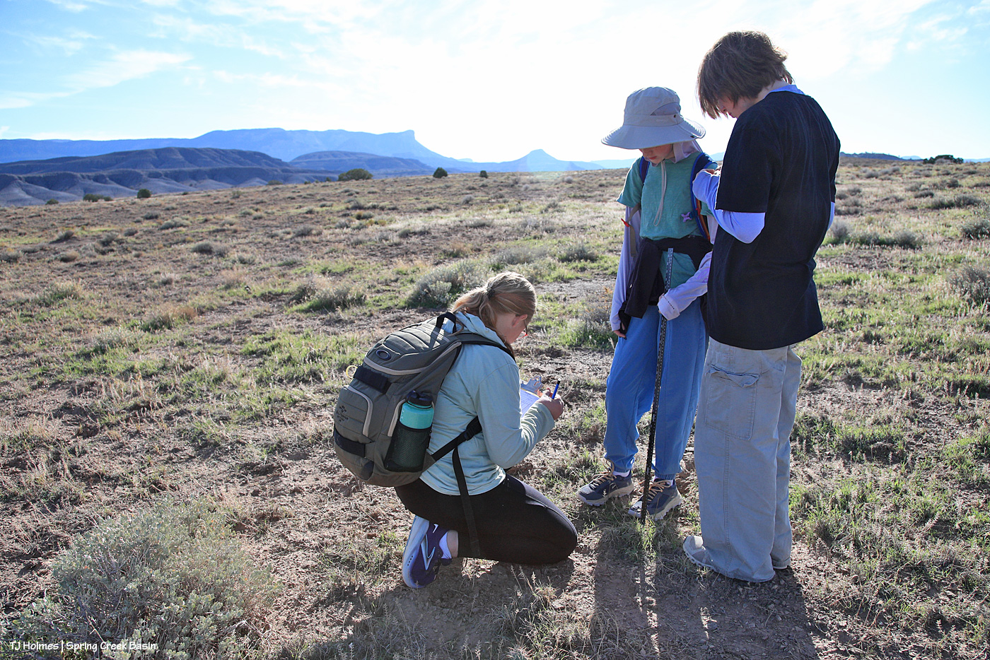
It’s hard to get a whole lot farther from Boulder than Disappointment Valley (OK, we’re not the *farthest* southwest corner of the state), but students were focused on the vegetation and their project. How cool is it that they’re able to take trips like this instead of learning from books only, only in a classroom?
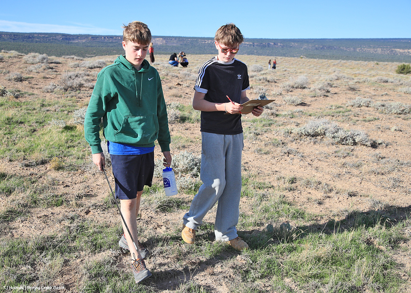
Another pair walking their line with other groups in the distance. See that GREEN grass? Yeah, thank you, RAIN! A little goes a long way in this high desert.
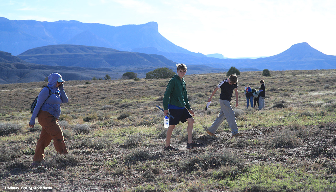
Diana follows the boys back up the hill after they finished their line. Can’t get enough of that scenery.
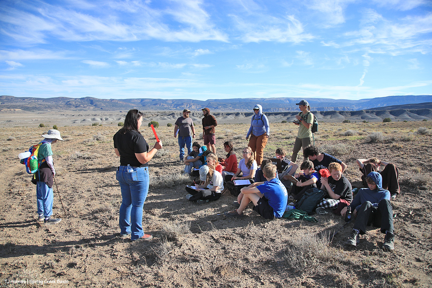
All gathered again to ensure they’d filled out their sheets well. … There was math to come!
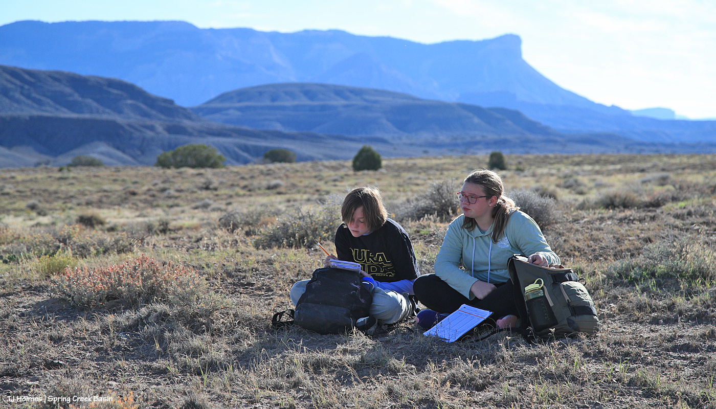
These city students were not afraid to drop to the ground among the grasses and shadscale and four-wing saltbush – and cacti!
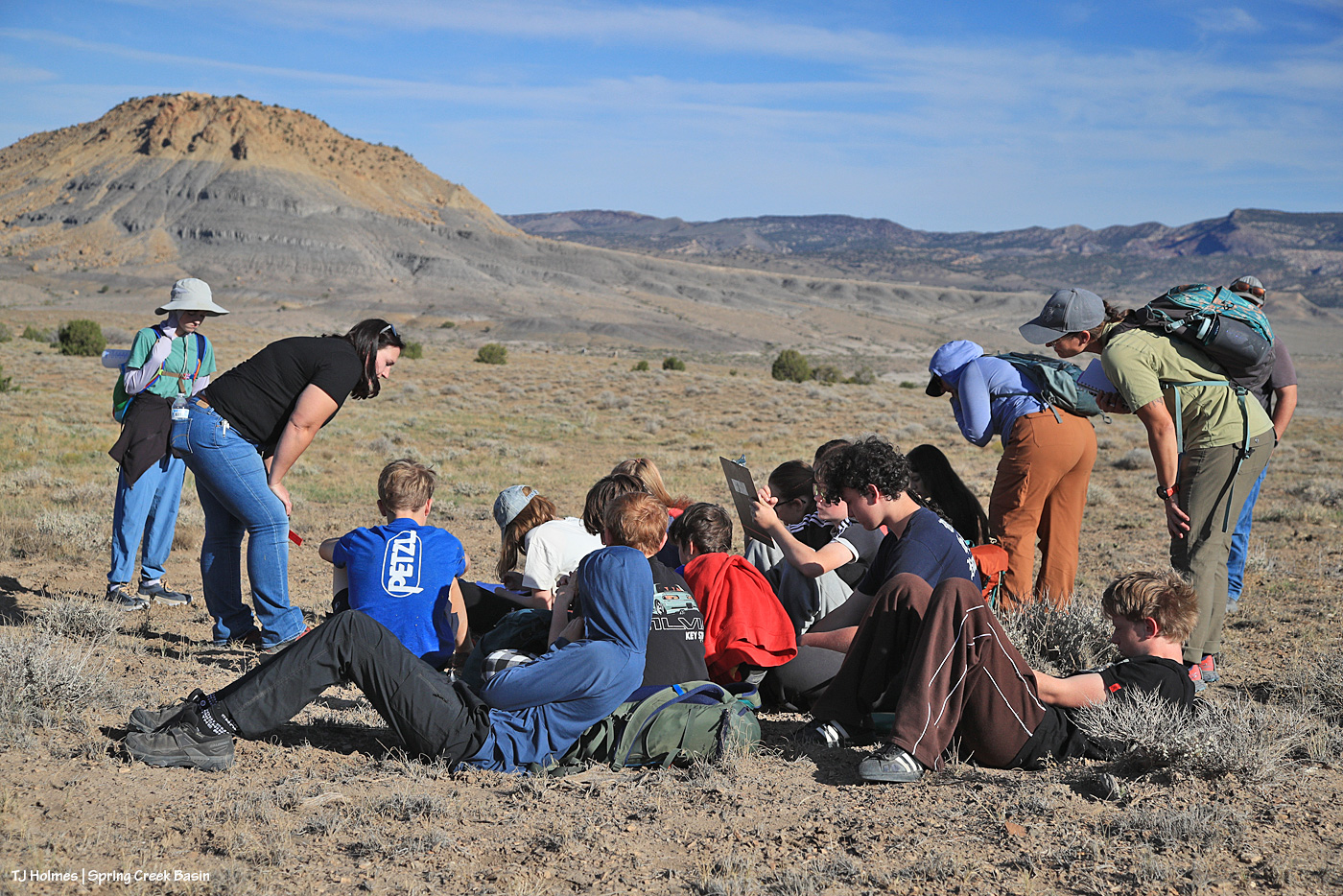
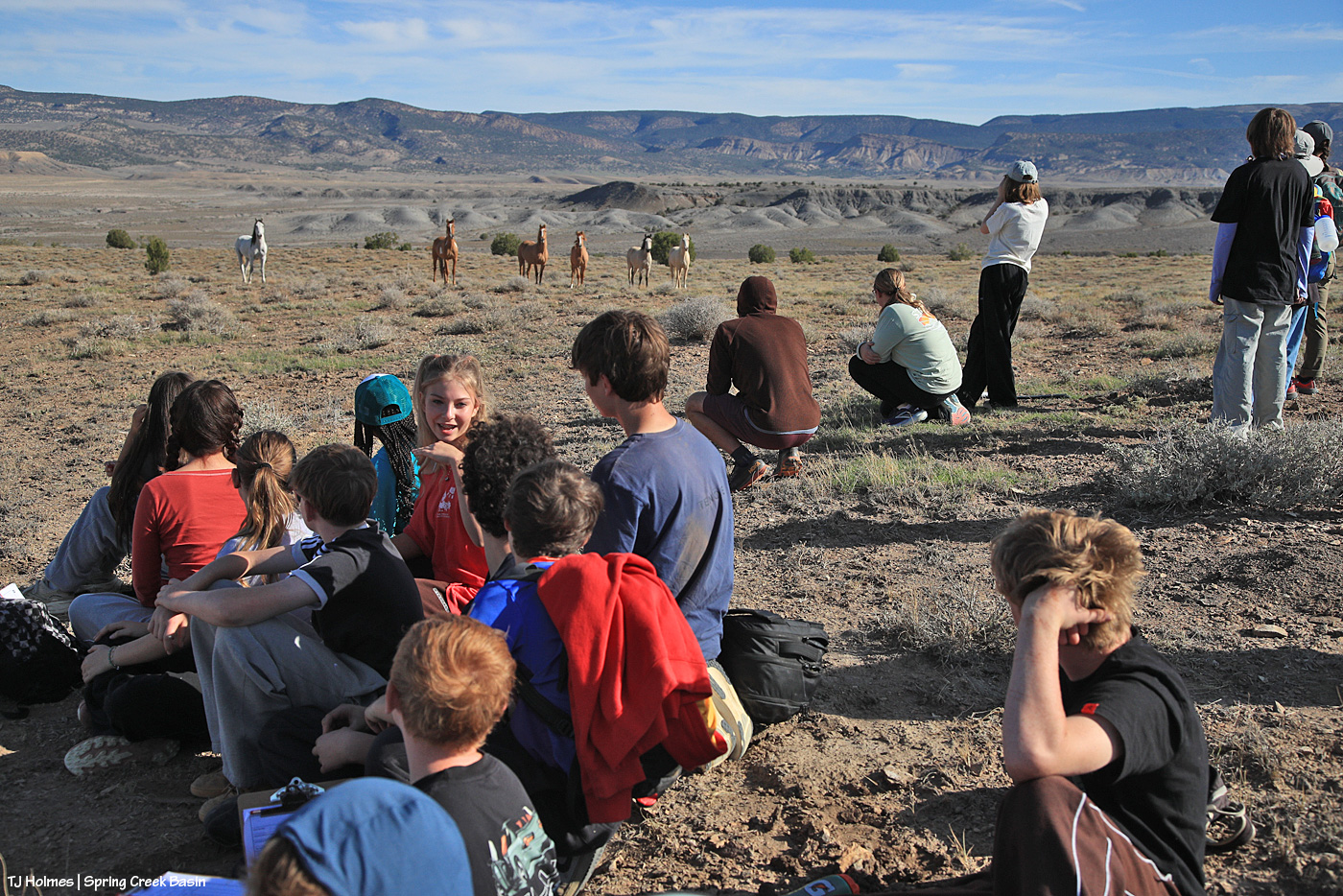
Laura, left, and teachers Amy and Diana helped the kids with their utilization sheets (these are the same that BLM employees use while out monitoring rangelands). They’re a little hard to see (wide-angle lens, not my big gun), but look straight out over the kids’ heads. …
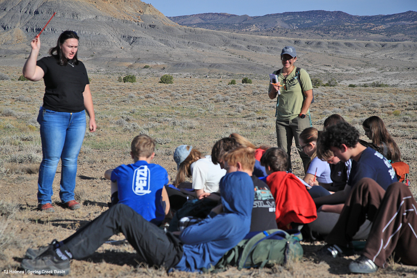
We were being watched!
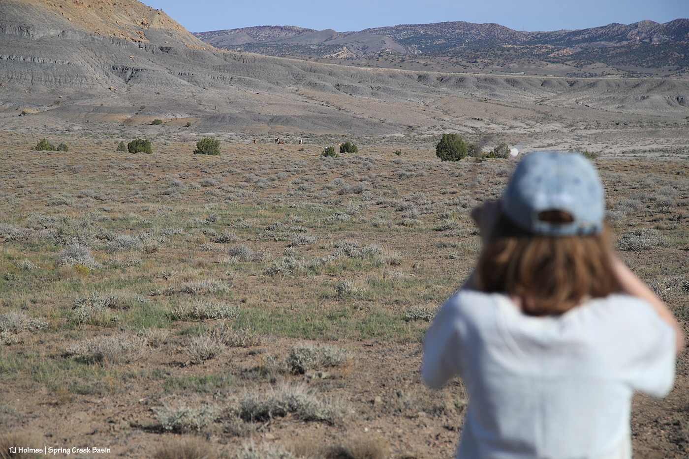
Just like the evening before, Buckeye’s band was over the top of this hill, down toward the north. Here, they’re a little east of where they’d been previously. The previous evening, after they arrived, I hiked the kids out to the trees – there’s a little arroyo that starts there – and we picked up the trail to the west, which we took a bit farther left of where the horses are seen here.

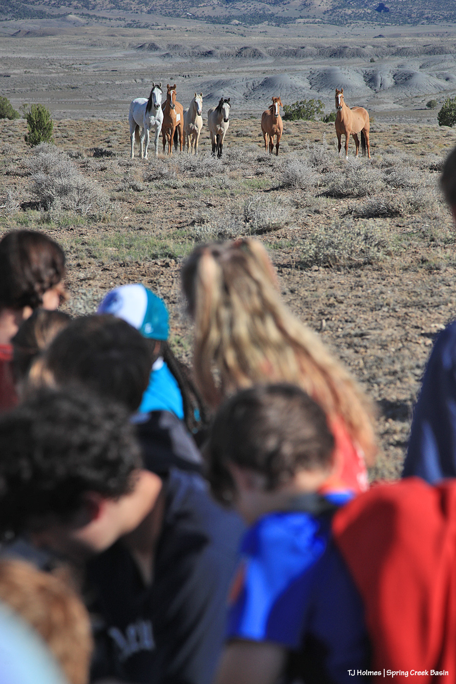
I’m not sure how long we’d been on the hill, but we weren’t in a hurry, and the students were absorbed in their project. While they worked, I took pix and kept an eye on Buckeye’s band to gauge their comfort level (they were at least a few hundred yards away from us). By about this time, as the students were nearing the completion of the monitoring part of their project, I started to notice that the full band was appearing, and Buckeye was inching a bit closer. … And then it hit me: They want to make a trip up and over the hill and down to the catchment trough for their morning drink. Sure enough, they walked on up the trail, but where I thought they’d veer off more to the west and go down the trail I brought the kids up the evening before, those curious ponies came right up the trail to where the students were gathered! I cautioned everybody to just sit tight and stay fairly quiet and let the horses explore this mass of humanity on their usual empty route to water.

And the gathered group of students and adults got the mustang sighting of their lives. πŸ™‚

Pretty amazing, eh? πŸ™‚

While we were watching Buckeye’s band watching US, Tres Rios Field Office Manager Derek Padilla hiked up the hill to join us. He talked to the students about the variety of jobs available with the Bureau of Land Management (and U.S. Forest Service, where he spent the first 27 years of his 30-year land-management career) and the variety of ways BLM’ers manage the multiples uses that happen on public lands.
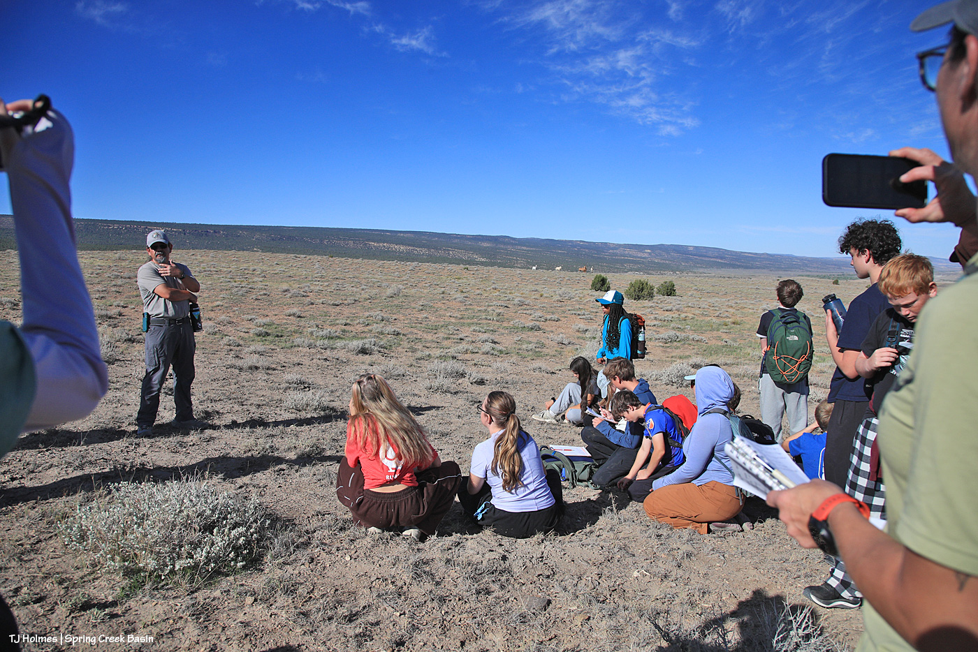
He and Buckeye might have worked it out between themselves because the band had plenty of time to head down the hill to water, drink and then return up a different trail.
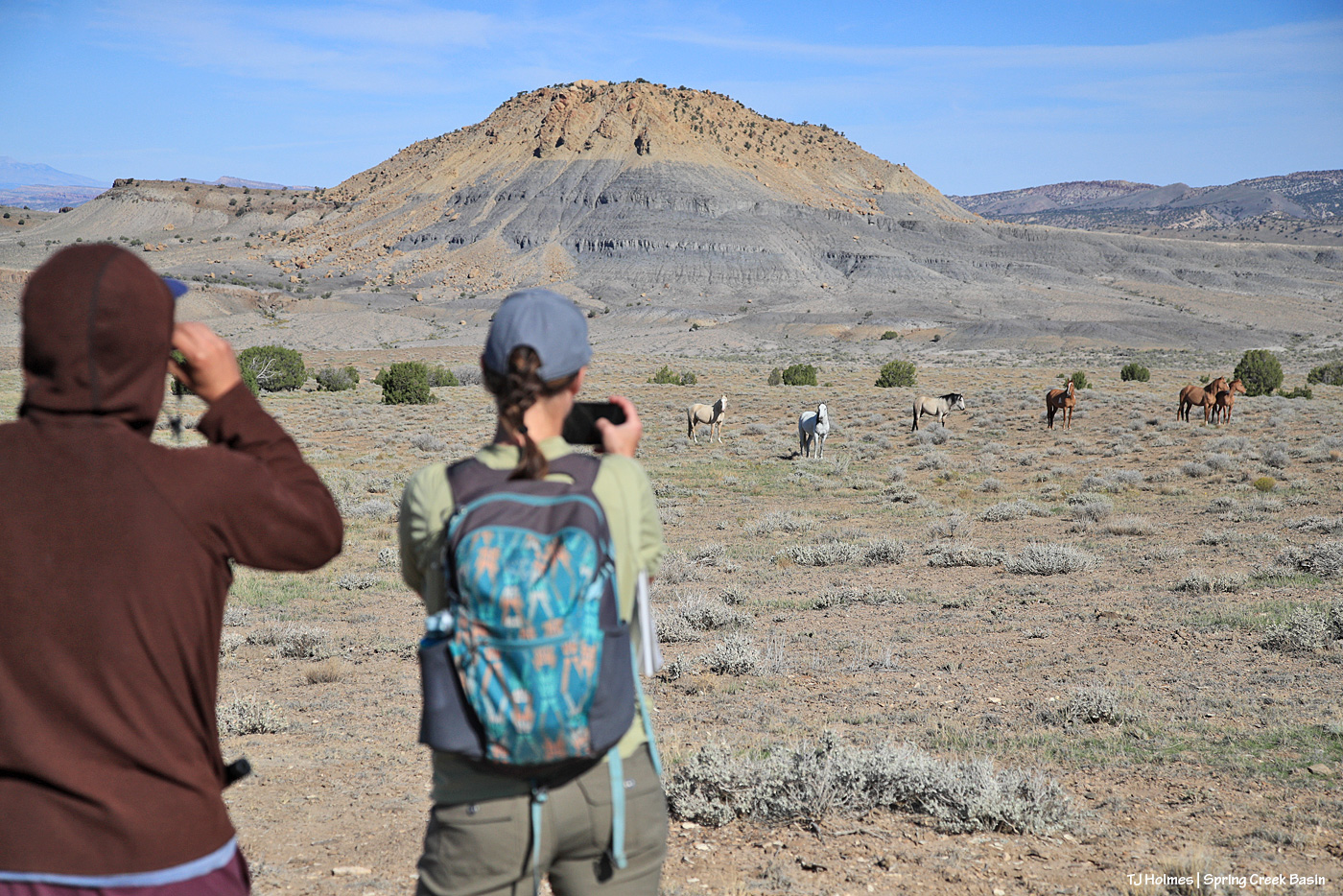
After one last farewell to the ponies, the group returned down the hill to the buses to complete the math (!) part of the project and have some lunch and a last round of questions and answers with Laura and Anton.
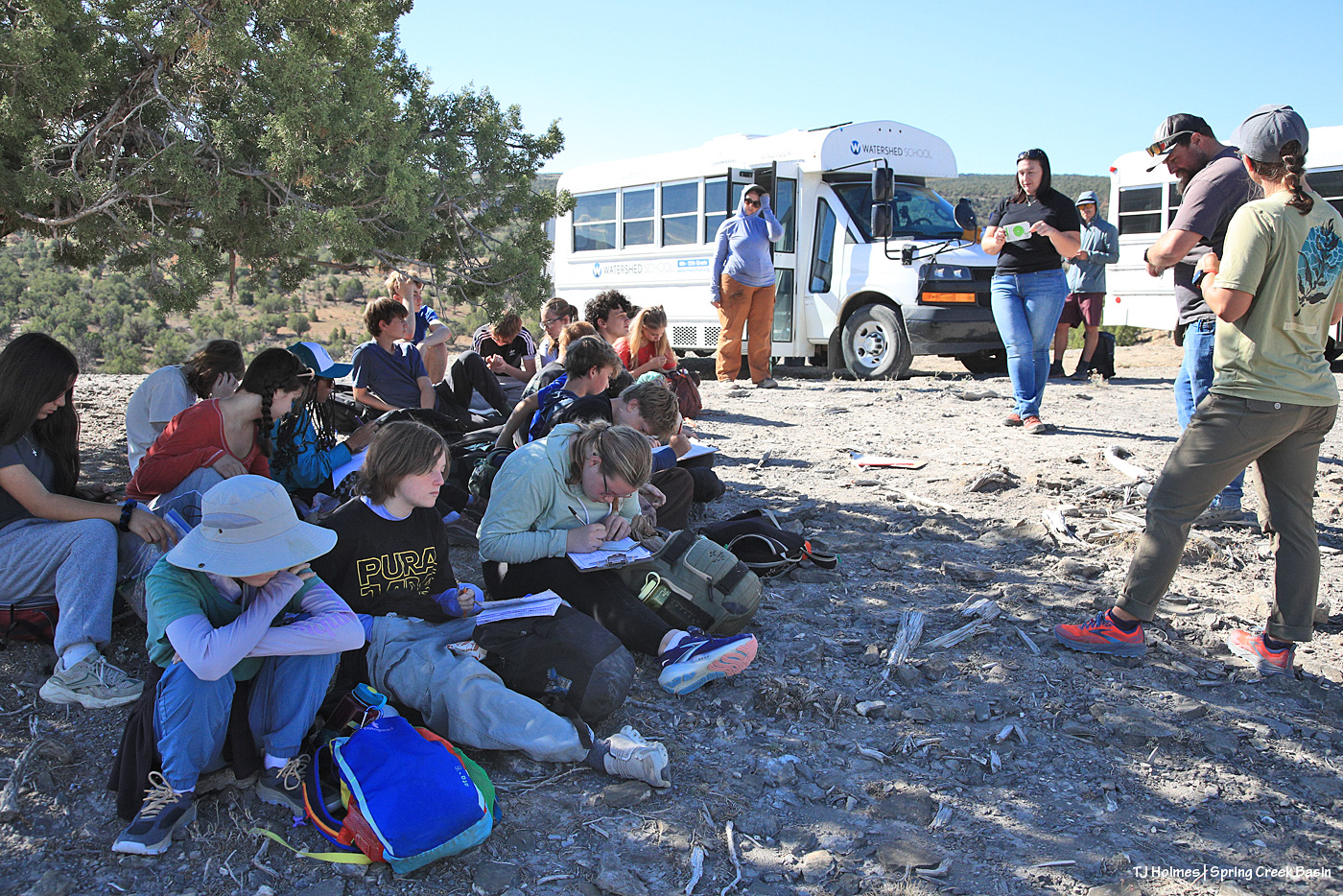
Yes, math does have real-world applications. πŸ™‚ Laura and Anton helped students with the formulas to calculate the results of their utilization (grazed/ungrazed) survey. Results: The horses have plenty of forage, even after our stressful droughty summer. Whew.
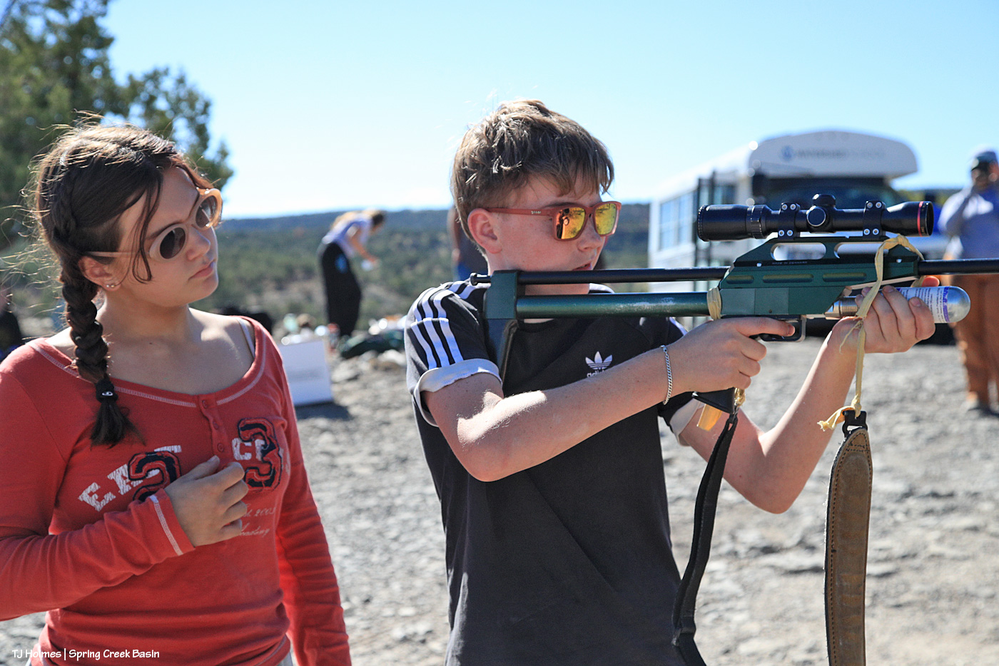
Before they left, at least one of the teachers and a few of the students got to check out my darting rifle. It’s very lightweight, and it fires off of a CO2 cartridge (pressurized to the distance of a mare). NOTE: NO DARTS WERE IN THE RIFLE. I let them put some air in the rifle and pull the trigger to hear the sound and have the feel of it. A surprise to a couple: No kick. πŸ™‚

Kudos to these kids and their teachers for thinking outside the box and creating the experiential learning experiences Watershed School is known for. *I* sure never got to visit wild horses as part of any class trip, and I attended lots of schools in many states and Germany! They are super curious and intelligent and asked some of the best questions I’d ever heard – and I get a LOT of questions and have a lot of answers. Speaking for myself (I’m sure Laura and Anton and Derek would agree): We had a blast introducing these young folks to Disappointment Valley, Spring Creek Basin and (at least a few of) our amazing mustangs. πŸ™‚

You’re welcome back any time!

Thank you so much to these Watershed School teachers and students, and to Anton, Laura and Derek, and (I have to say it) to my boy Buckeye and his girls, for making this a fantastic visit and learning experience in Spring Creek Basin!
Even the fastest mosey

6 10 2026

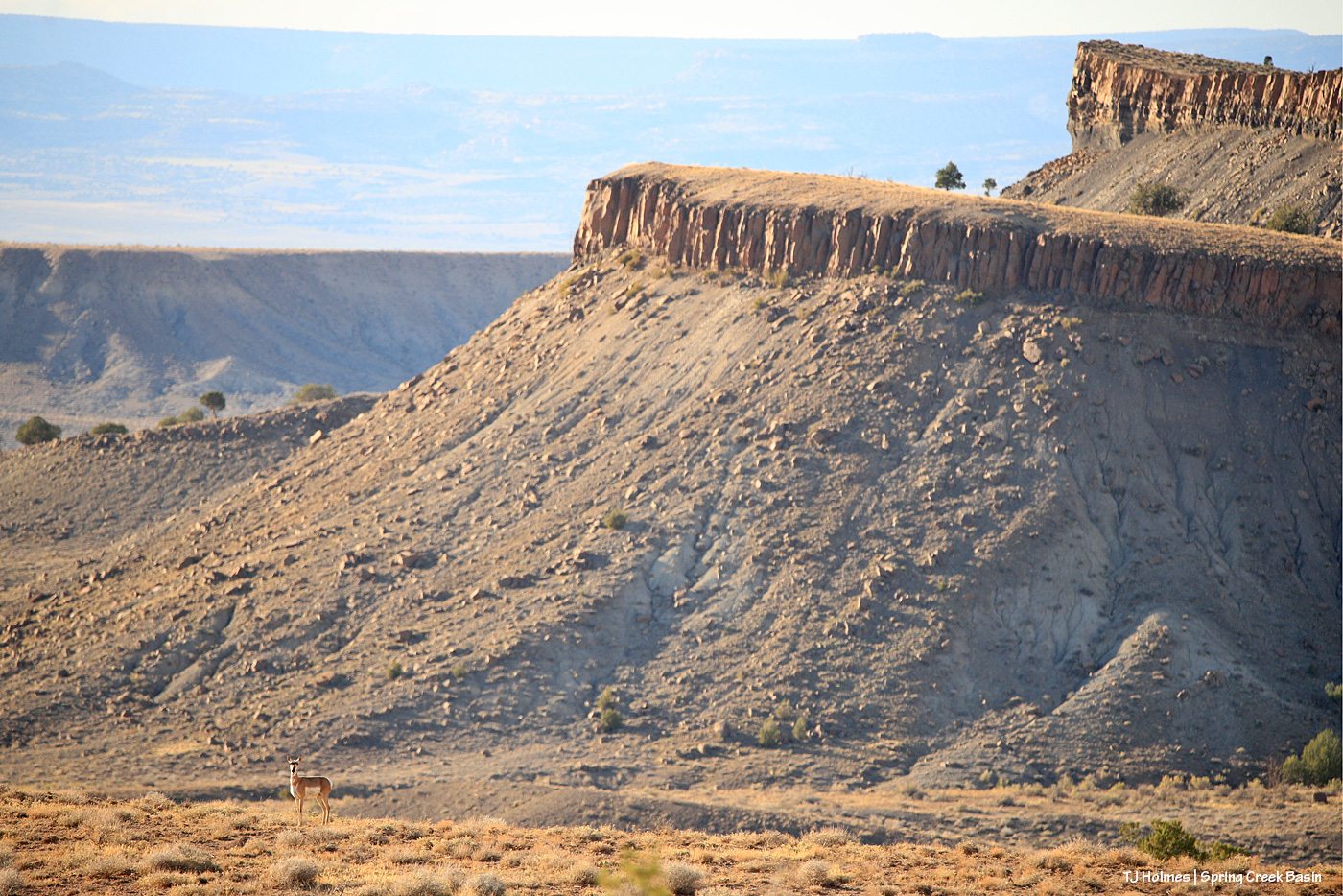
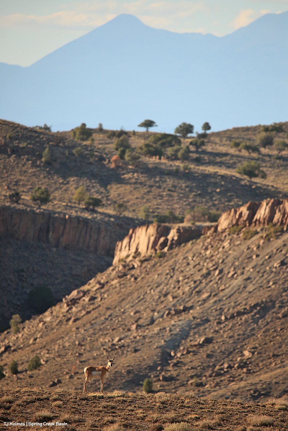
Heading up to one of the water catchments the other day, I was surprised to see a couple of pronghorn does heading on up past a band of horses that were already leaving the trough and also making their way to the top of the hill. I didn’t see them (any of them) drinking, but I *know* the horses had been, and I really hope the pronghorns are making use of the fresh rainwater, too.

No pix of the pronghorns and the horses together because they were far-ish, and I was still huffing and puffing my way up the hill, and I didn’t stop to offload and unload my pack. So what follows are sightings of the pronghorns after I was up and over the top, with another (second) band.

By the time I got atop the hill and was moving down toward a band of mustangs, I caught sight of one of the pronghorn does already down the broad other side.

My lens swung between horses and pronghorn, and I wondered where the other pronghorn had gone.

But for a while, only the one doe was visible, watching me watch the mustangs (and her).

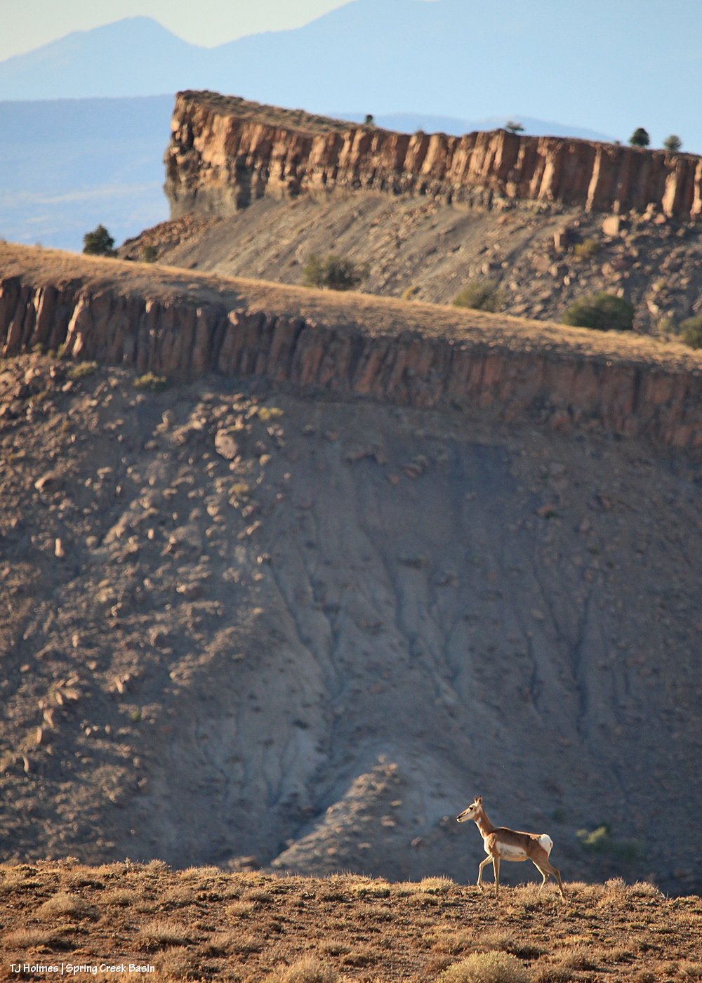
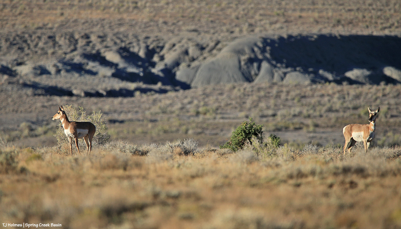
She eventually went out of sight, and I figured that was the last I’d see of her. … Until she showed up with the second doe, walking not so much toward me but on a trajectory that was going to take them past me a lot closer than they had been. And then the second doe turned to look behind them – definitely NOT at the horses – and I started to wonder what SHE was looking at.

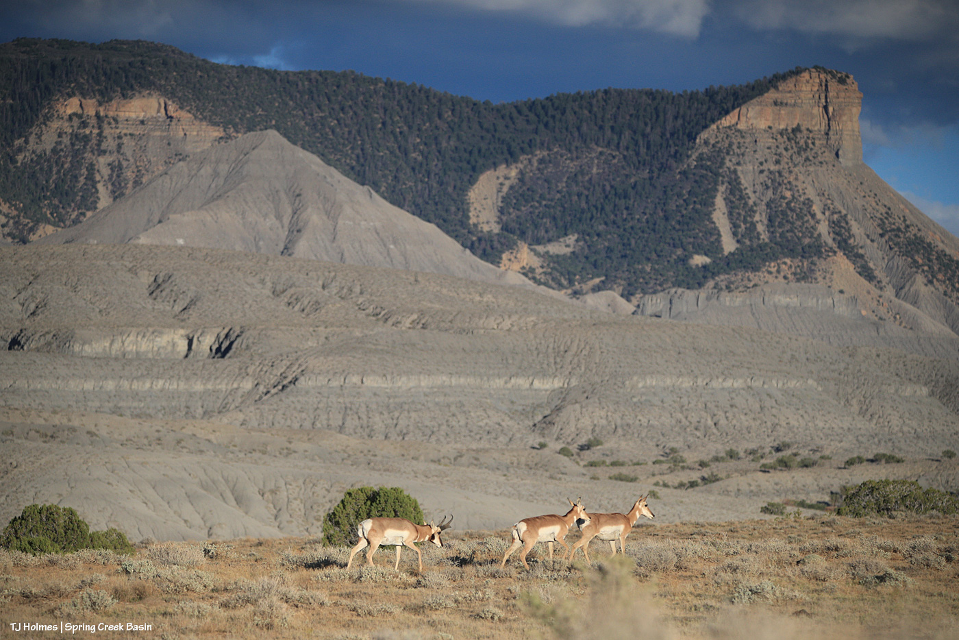
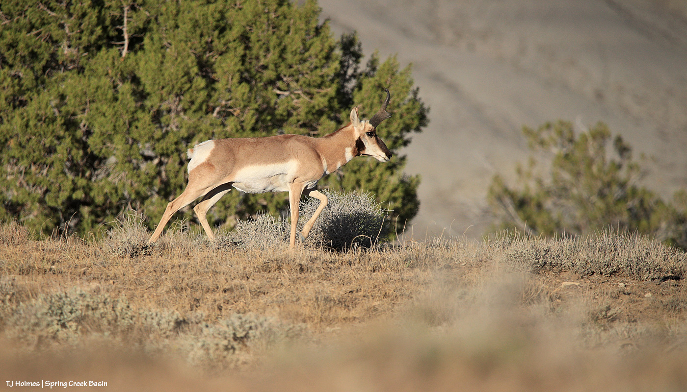
Ah ha! Mister handsome!

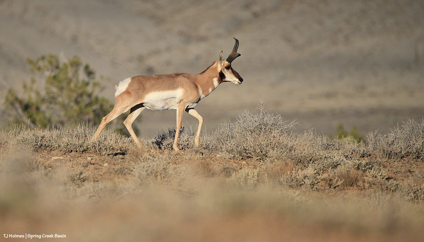
This shows his impressive horns better. And despite the fact that males shed the *outer* horns, they are horns, not antlers.

More from Google AI:

The Pronghorn (Antilocapra americana) is North America’s fastest land mammal, capable of reaching speeds up to 55–60 mph.

Physical Characteristics & Speed

  • Speed: Reaches top speeds of 55 to 60 mph, making it the second-fastest land animal globally (after the cheetah).
  • Anatomy: Features an oversized windpipe, heart, and lungs that process massive amounts of oxygen.
  • Horns: Possesses unique branched, pronged horns with a keratin sheath over a bony core that males shed annually.
  • Vision: Equipped with large eyes set high on the skull, providing a 320-degree field of vision to spot danger from miles away.

Habitat & Range

  • Geography: Endemic to the open plains, grasslands, and semidesert shrublands of western and central North America.
  • Local Presence: In Colorado Parks and Wildlife, they are commonly found on the eastern plains, mountain parks, and western shrublands.
  • Migration: Some herds migrate hundreds of miles seasonally to avoid deep winter snow that blocks access to food.

Diet & Behavior

  • Diet: Herbivores that primarily eat forbs (flowering plants), grasses, and shrubs like sagebrush (which they can digest despite its toxicity to other ungulates).
  • Reproduction: Mating occurs in early autumn (September), and females typically give birth to twin fawns in late May or June.
  • Predators: Vulnerable to coyotes, bobcats, wolves, bears, and golden eagles, which primarily target young fawns.

Pronghorns are fascinating critters. They’re not very widespread here, and there aren’t very many of them. Thankfully, there’s no hunting of pronghorns in our part of Colorado because there just aren’t very many. While I see them fairly often, I think there are only around 30ish. We do have coyotes and golden eagles, but in the open reaches of Disappointment Valley, those likely are their only predators. That said, there don’t ever seem to be *more* of them year to year.

From Wikipedia: “The pronghorn (UK: /ˈprΙ’Ε‹.hɔːrn/, US: /ˈprɔːŋ.-/)[4] (Antilocapra americana) is a species of artiodactyl (even-toed, hoofed) mammal indigenous to interior western and central North America. Though not an antelope, it is known colloquially in North America as the American antelope, prong buck, pronghorn antelope, and prairie antelope,[5] because it closely resembles the antelopes of the Old World and fills a similar ecological niche due to parallel evolution.[6] It is the only surviving member of the family Antilocapridae.[7]“

“The pronghorn is the fastest land mammal in the Americas, with running speeds up to 55Β mph (88.5Β km/h).” And if you’re lucky enough to see them, you can easily believe that. Even at what pronghorns themselves might consider “an easy lope,” they are FAST.

Pronghorns are awesome. πŸ™‚


Smoke to storm

18 07 2026

We don’t do things by halves here in Colorado.

Smoke from wildfires? Unfortunately.

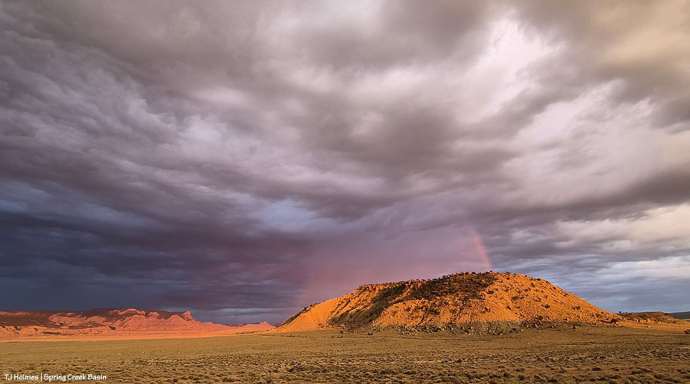
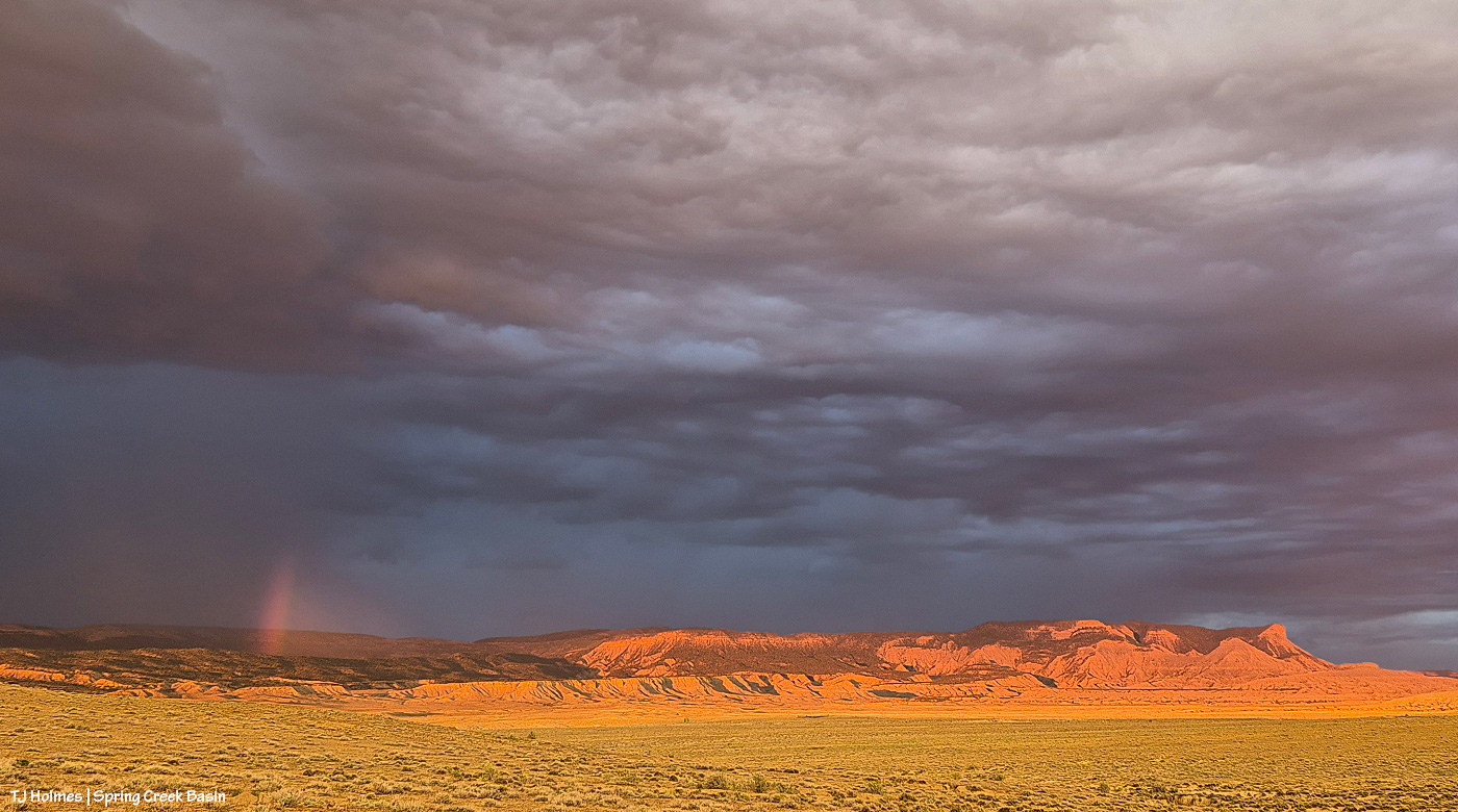
Spectacular sky from incoming storm days later? You betcha.

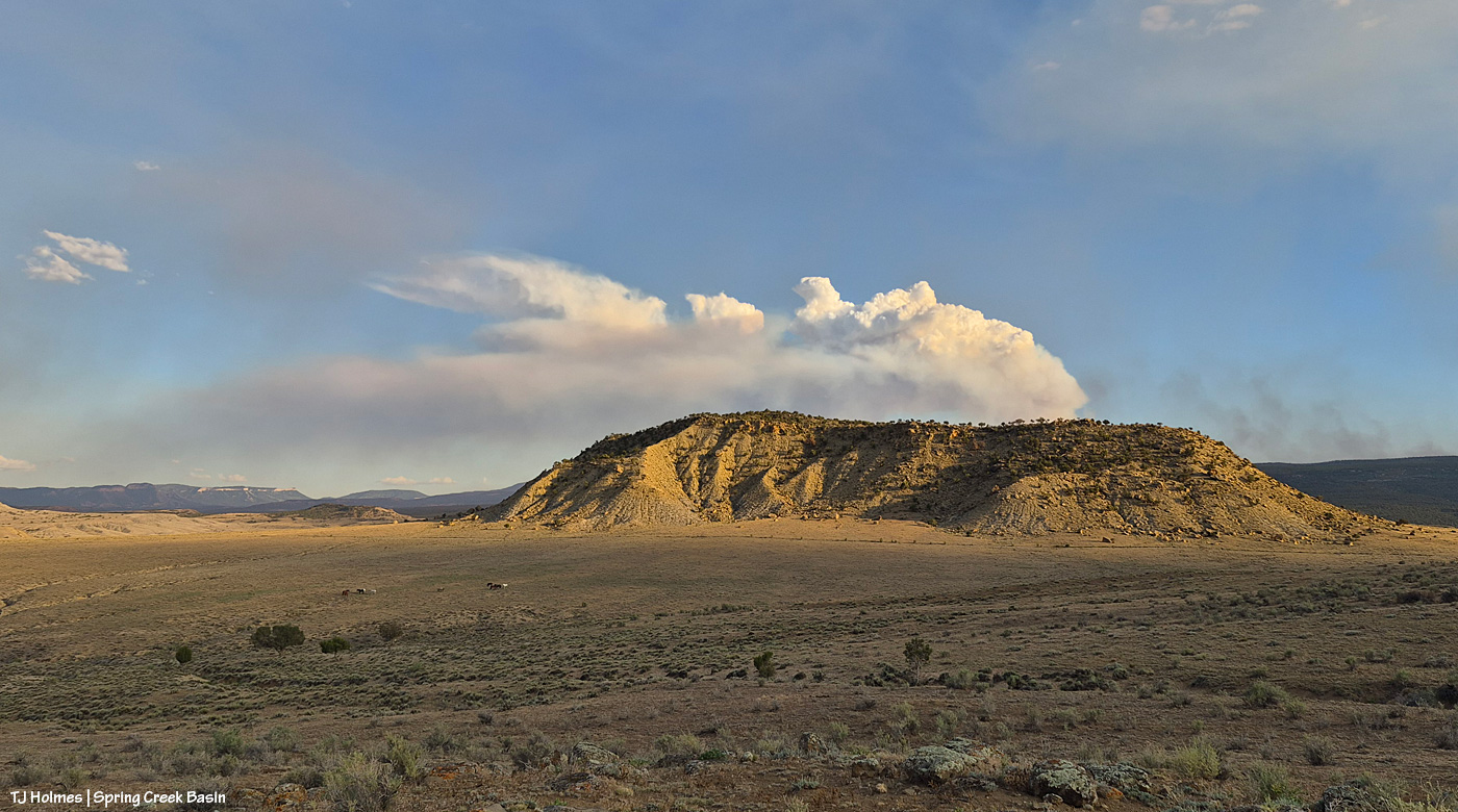
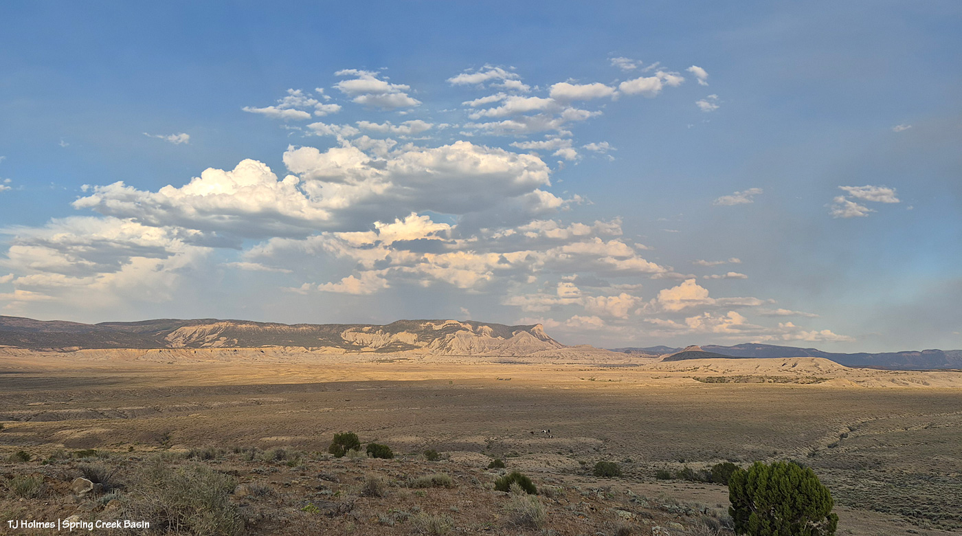
From Spring Creek Basin’s western rimrock boundary looking southeast at the very end of yesterday.

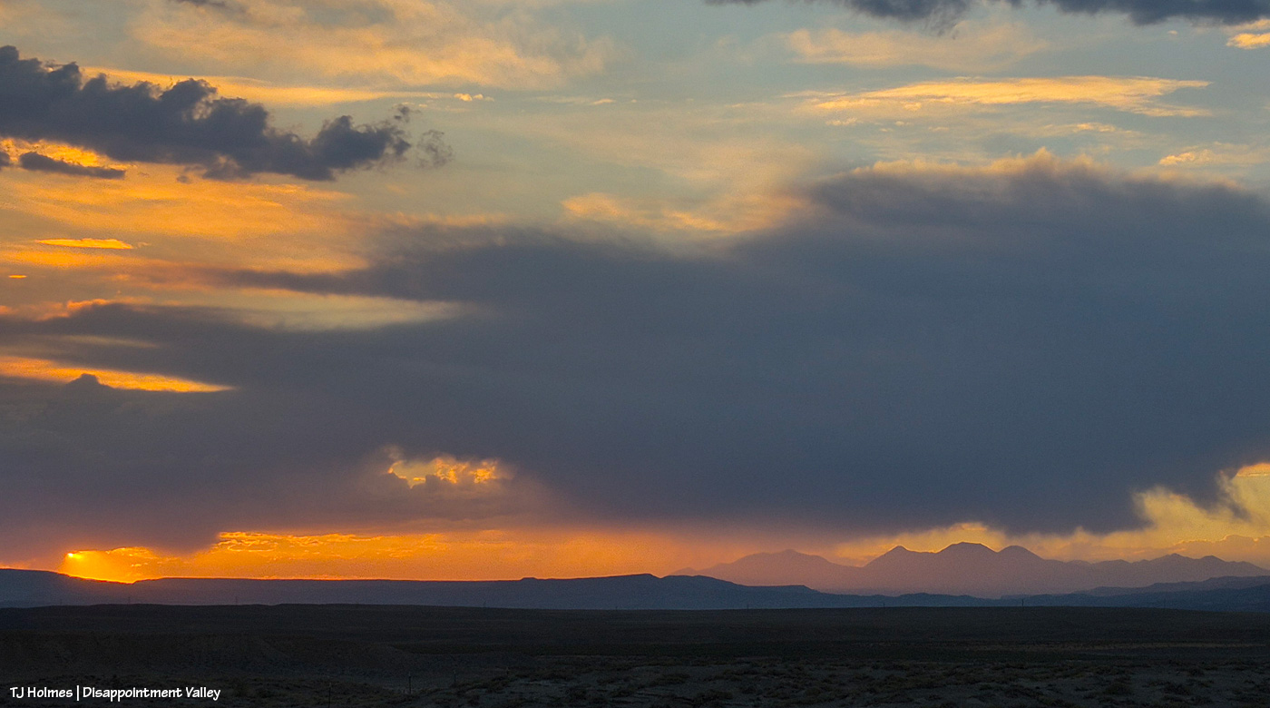
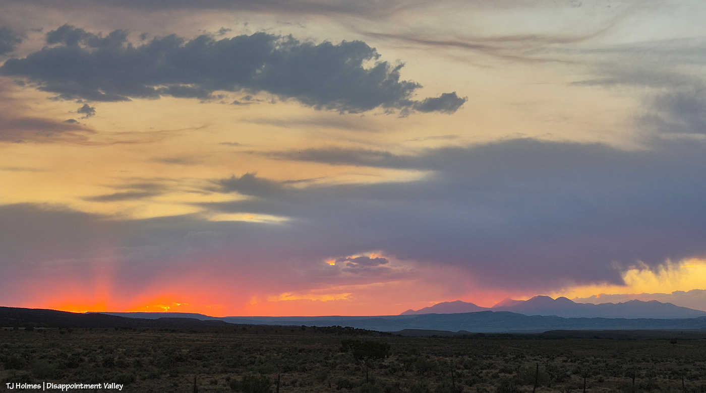
Looking east from the same place. The storm was to the north – our left as we’re looking out over the basin here.

One of the most spectacular jags of lightning I’ve ever seen lit up that northern sky (not close, not nearly far enough away), and I took that as my sign to hit the road, which was still a bit of a hike down to the right. As I headed down the hill, so did the ponies I’d been visiting with. No fools, they (or me!).


Perspective

9 07 2026

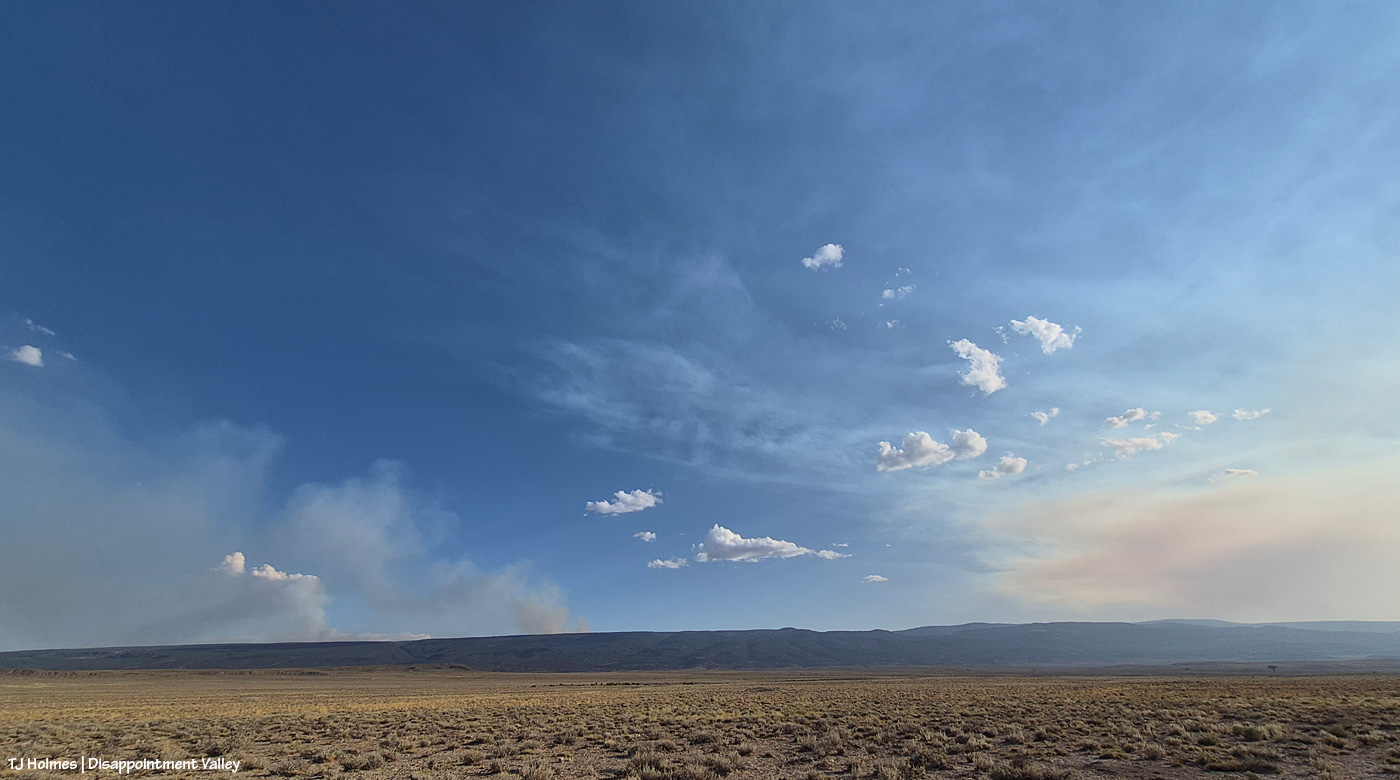
After some reports from different sources of tiny bits of rain here and there (Tuesday day/night, maybe some drips Wednesday), the sky was much more our normal and beloved Colorado-blue than we’ve seen in a run of smoky days. Ferris Fire (60,104 acres as of Wednesday night) smoke at left; Babylon Fire (101,073 acres) smoke at right. Looking mostly south.

The fire must have gotten into some new, untouched fuels by evening because by 7 p.m. or later, it was really sending up a plume. That’s Filly Peak in the near background, and you can see a bit how perspective matters: Not only is the fire not directly behind it, it’s not *super* closely behind/south of Disappointment Valley’s south ridges. (I did still see a little line of smoke in the Ryman Creek area a bit later.) Mustang ponies in the middle ground, napping.

This and the above pic toward Filly Peak were taken from the same vantage point: Chrome’s Point in Spring Creek Basin’s far western region (not far from the rimrocked western boundary). This one is looking slightly leftish of Filly Peak and southeast/east. The smoke is fairly faint … a MUCH better sight than we’ve had the last many days.

Those are more clouds than smokedrift, though, of course, there’s still smoke there from Utah’s huge Babylon Fire, now more than 101,000 acres. … Mother Nature is trying to stir up the clouds into delivering rain.

See the pillars of sunset glow at left? I love it when the sun waves goodnight to us like that.

A couple of links to articles I’ve found interesting recently:

Tribute paid to Emily Barker, Nick Hutcherson and Sydney Watson, who died fighting the Snyder Fire. Held in Grand Junction, Colorado. Impossible to imagine the pain of their families and colleagues and friends.

“Monsoon rains are on the horizon,” say the weather wizards, err, experts. We can only hope they’re finally going to be proved right. Some super heat is on tap first.

How some ranchers are coping with the stress of protecting their cattle and grazing lands. This really made me think of the hard-working ranchers I know.


To and from

31 03 2026

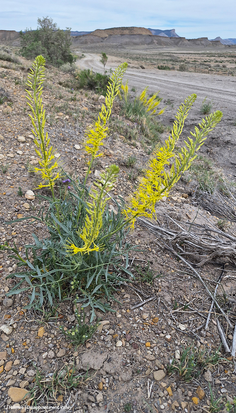
Heading TO Spring Creek Basin, I found the prince’s plume plants in full, crazy bloom. Why is this crazy, I hear you asking? Because they don’t usually bloom until May. IN Spring Creek Basin, the prince’s plumes I saw were a little behind these along Road K20E toward the basin, which makes sense as the basin is a bit higher elevation than along this road.

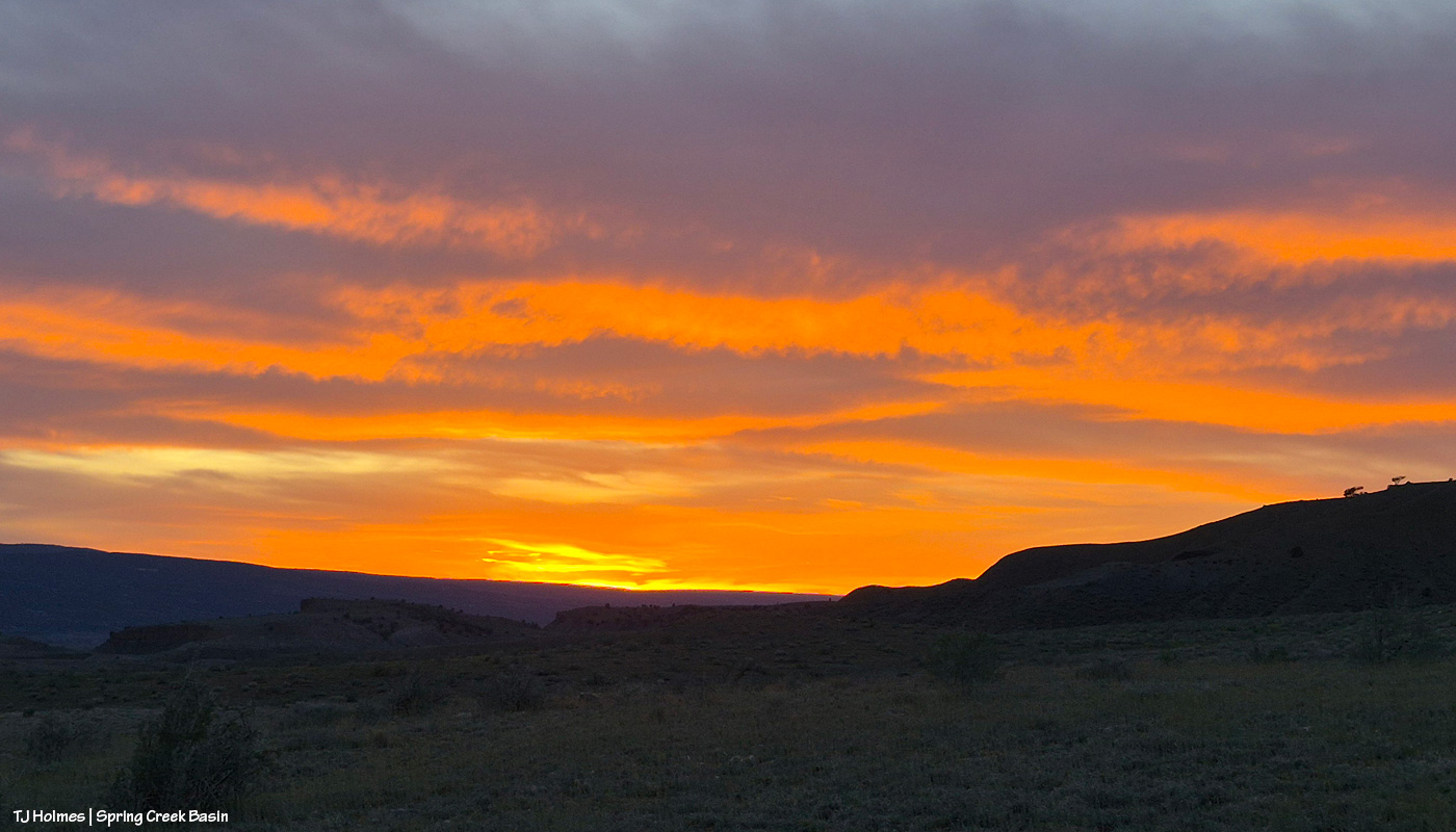
Heading OUT of Spring Creek Basin, the grey sky exploded with color at and post-sunset! Wowza. The weather wizards are giving us a whopping NINETY PERCENT chance of rain Wednesday. Do you know what Wednesday is? Wednesday is April 1, otherwise known as April Fools’ Day. Call me a fool a million times over, and please, please, PLEASE, let it RAINRAINRAIN!!!


Awe, right

29 03 2026

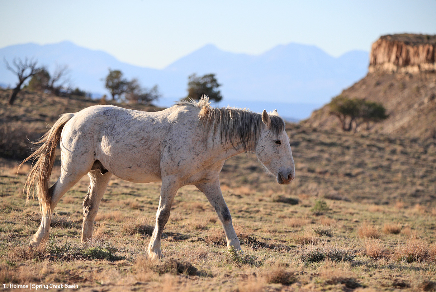
Mustang. (Skywalker)

Cliffs. (rimrocks on the western boundary)

Mountains. (La Sals. Utah)

All right, all right, all is right with the world. πŸ™‚


Super serene saunter

6 03 2026

With any hope at all, by the time you take a gander at this post this morning, our world will be white … according to the forecast Thursday afternoon! I’m not sure I believe it … but I’m hoping with all my might!

Update forthcoming (hopefully a good update) … !


All the way there

2 02 2026

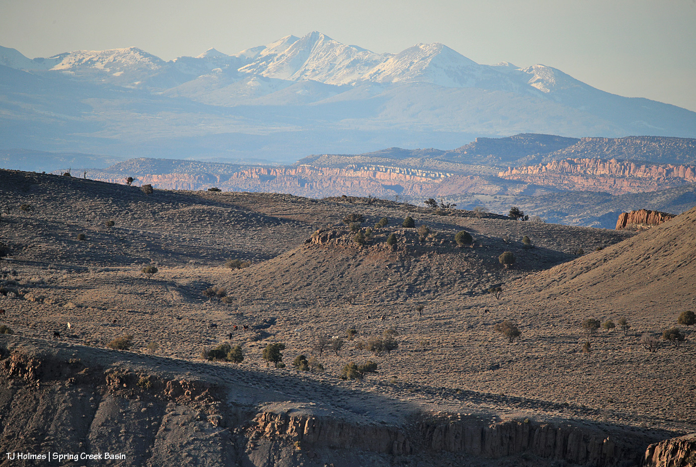
See ’em? πŸ™‚ Look for the white spot, above the ridge of rimrocks … then note the dark spots (that aren’t trees) spread out to the left.

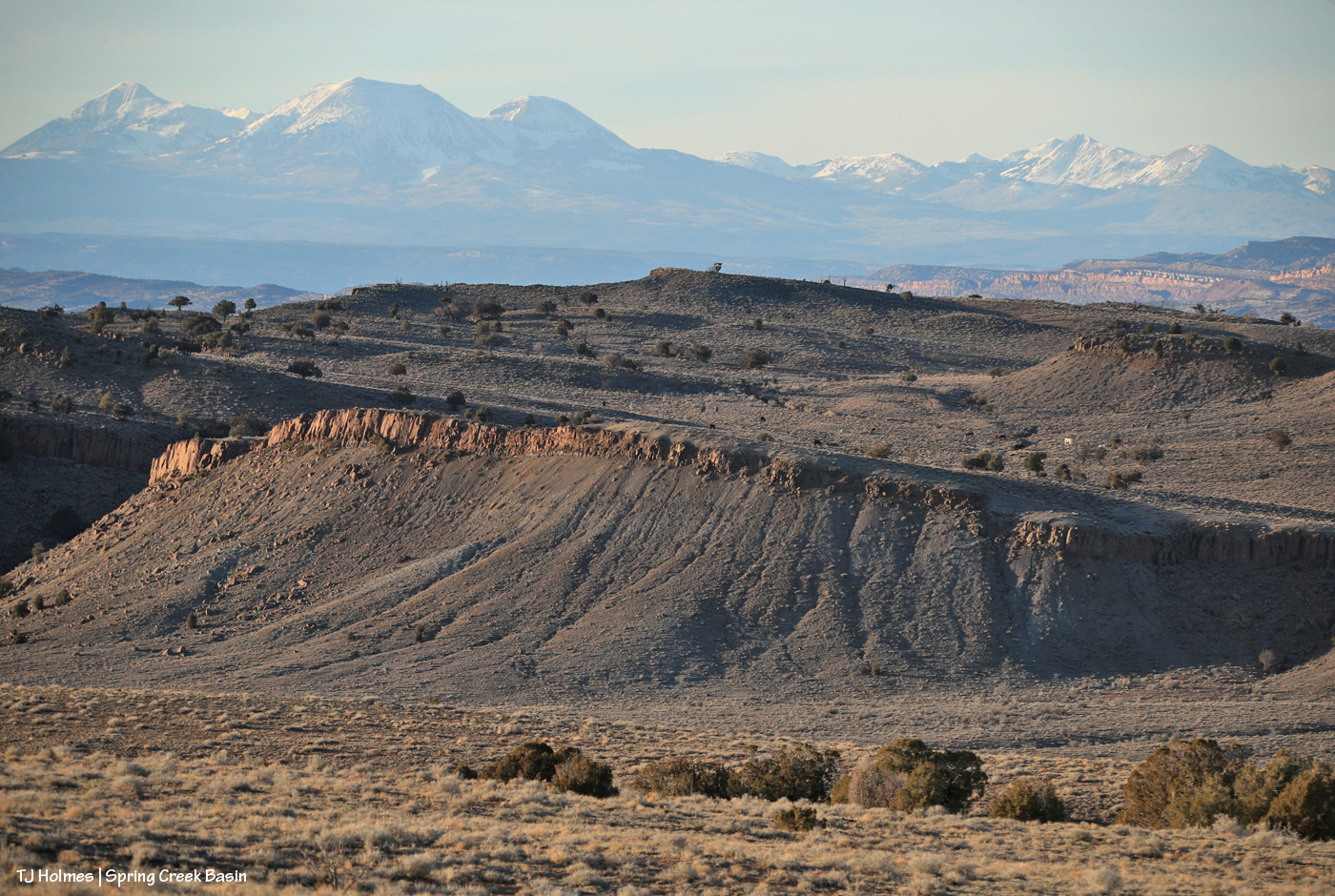
That’s Temple’s and Madison’s group. Out of sight to the right (northish) is Filly Peak and the main interior of (and main entrance to) Spring Creek Basin. FROM that interior, where I’d been 15 or 20 minutes earlier, I couldn’t see the mustangs from the other side of Filly Peak (familiar visitors will know that the road runs along the north/northeastish side of Filly Peak). But I saw Buckeye’s, which led me to leave the interior, drive out and around and hike up what I call corral hill, which is where I was when I took this pic, looking northwestish toward Utah’s La Sal Mountains. This is one of my favorite views in the basin (*note: like mustangs, you can’t have just one *favorite* view?!?!). And then I spotted the ponies. You couldn’t have seen them at all from the interior road, but they’re no more than a 15-or-so-minute walk from that road. From this vantage, though, Buckeye’s were less than five minutes below me back to the right(ish).

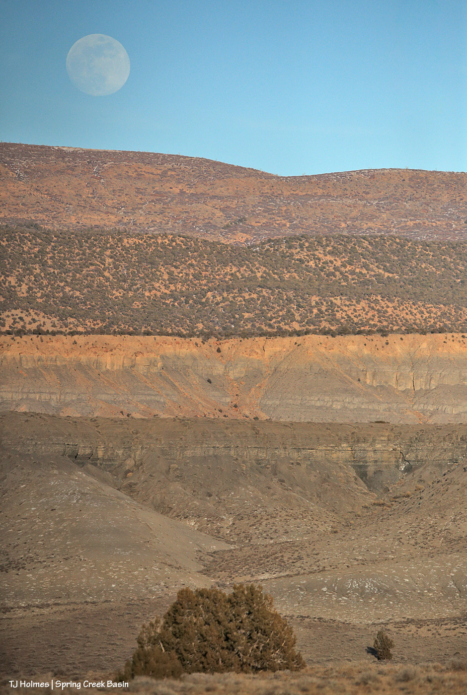
In addition to wanting to see Buckeye’s band, I hoofed it up the hill to try to catch this rising before it got too high:

This is what Google AI has to say about the February full moon (it’s actually full on Sunday, Feb. 1):

The February full moon is most commonly known as the Full Snow Moon because February typically brings the heaviest snowfalls of the year in North America. Other traditional names, often rooted in Native American, Colonial American, and European traditions, include the Hunger Moon, Bear Moon, and Eagle Moon. 

Key Facts About February’s Moon:

  • Alternative Names: According to The Old Farmer’s Almanac, other names include the Bald Eagle Moon (Cree), Bear Moon (Ojibwe), and Raccoon Moon (Dakota).
  • Significance: It reflects a time of cold, deep winter, limited food sources, and the need for endurance.
  • 2026 Timing: The 2026 Full Snow Moon peaks on February 1 at 5:09 p.m. EST.Β 

Other, less common names for this lunar cycle include the Wind Strong Moon (Pueblo) and the Goose Moon (Haida).

***

Yes, I almost did fall off my chair laughing when I read that the February full moon is “most commonly known as the ‘Full Snow Moon.'” I mean, really? πŸ™‚ Errrrrrrrrrrrrrrrrrrrrrrr. Not to mention arrrrrrrrrrrrrrrrrrrrrrrrrrrrrrrrgh! If you look really closely, you can see some lingering patches of snow in the above pic, and that’s several layers (what I like most about the pic) rising to the final ridge, which is actually outside/beyond Spring Creek Basin, but you’ve gotta look *really* hard.

The first layer of grey Mancos shale is the south end of what I call bachelor ridge, then the sandstoney-topped mesa known as Knife Edge, then the actual piΓ±on-juniper-topped ridge that is a north/northeastish boundary ridge of the basin, then the ridge with its old burn scar(s) most commonly and easily accessed from Dry Creek Basin (can you imagine anyone calling Dry Creek Basin “Dry Creek” like some people refer to Spring Creek Basin as “Spring Creek” (which, as we all know, with its tributary arroyos, drains Spring Creek *Basin*)? (how’s that for a whole lotta parentheses?? :))).

How about a new name this year (which may or may not echo Februarys past … and presage Februarys future): Deep-Anxiety-Inducing No-Snow Moon? Bummer.

But to end on a happy note, another glimpse of the ponies on the “bench”:

Let alone the wild ones, how ’bout THEM layers? πŸ™‚ Interestingly (?), the part(s) that look like people’s idea of Utah are in Colorado, and the parts that look like people’s idea of Colorado are in Utah. Yay, Southwest! πŸ™‚


Camo shade

19 01 2026

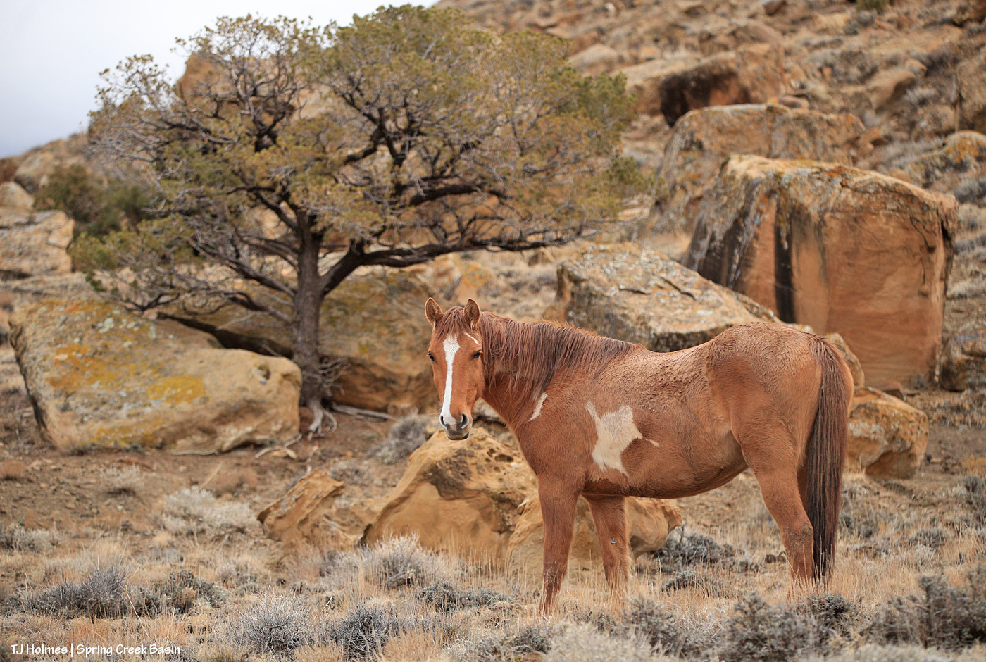
Pretty Aiyanna stopped in just the right place to show off the big, complementarily colored (!) boulders at the base of Filly Peak on New Year’s Day. … Notice the piΓ±on tree growing between the two boulders behind her. It doesn’t look super healthy, but that’s probably more the ongoing drought than having sprouted up between two giant sandstones. Still, pretty cool … and it makes you (OK, at least me) wonder about the eons of history there.


Deep wisdom

15 01 2026

Kind-eyed Seneca indulges me with a look while her band mates browse back (way back!) at the end of last year and way back deep in Spring Creek Basin.