Some relief

14 07 2026

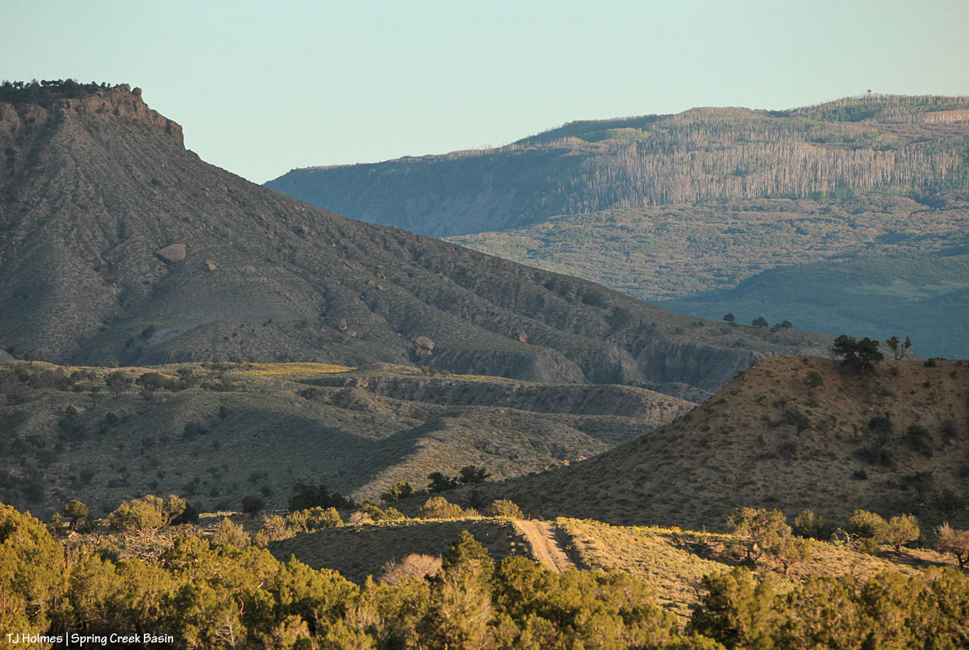
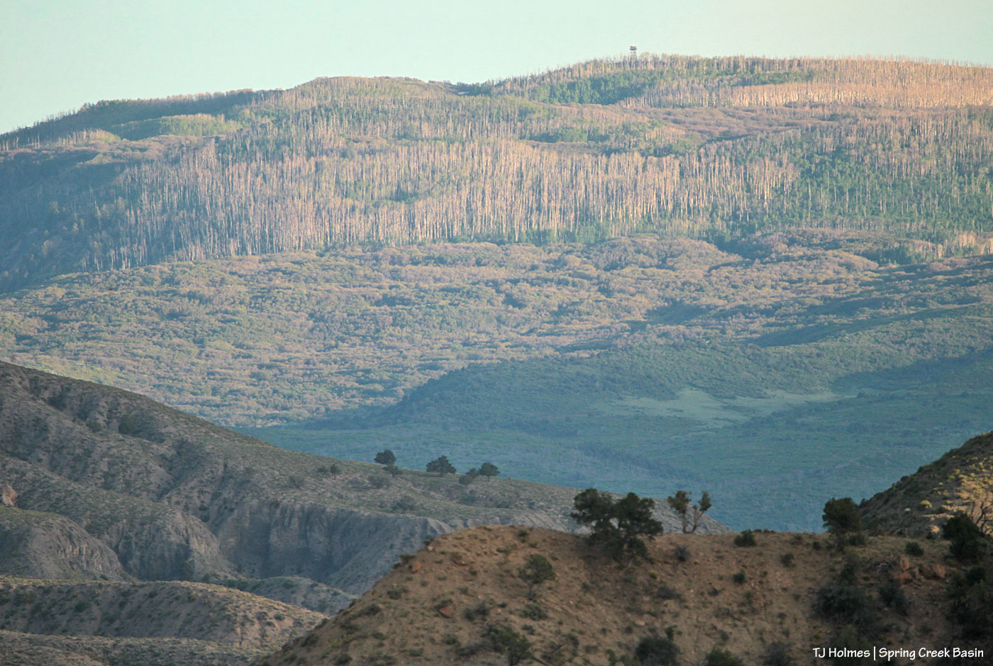
This pic, taken Sunday from between the main/original water catchment and Filly Peak in Spring Creek Basin, is looking southeast toward the Glade and Benchmark Lookout. A few days before, I’d seen the red swaths of retardant across the trees while looking at smoke up there, but I didn’t manage to get a decent pic that showed it. While fire continues to smoke in that area (that’s the Ferris Fire’s northeastern edge), clearly firefighters and aircraft pilots have been hard at work. So hugely grateful! Rick and Linda Freimuth, who staff the tower during the fire season (!!!) hope get the green light to return this week. The mustangs and I (you know they would if they could) will be cheering their return.

Now, some taken yesterday (Monday):

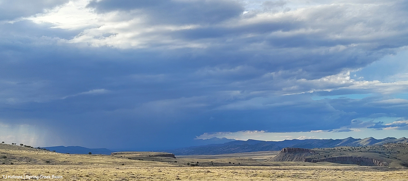
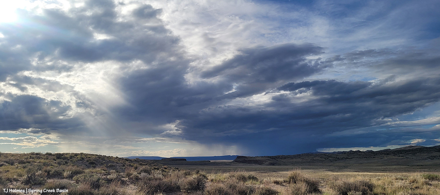
Storm brewing to the east. Spring Creek Basin’s western rimrocks and Filly Peak (lower left) are in sunshine, while Temple Butte, McKenna Peak, Brumley Point and the basin’s eastern ridges are shadowed by rain! Woo-the-heck-hoo!

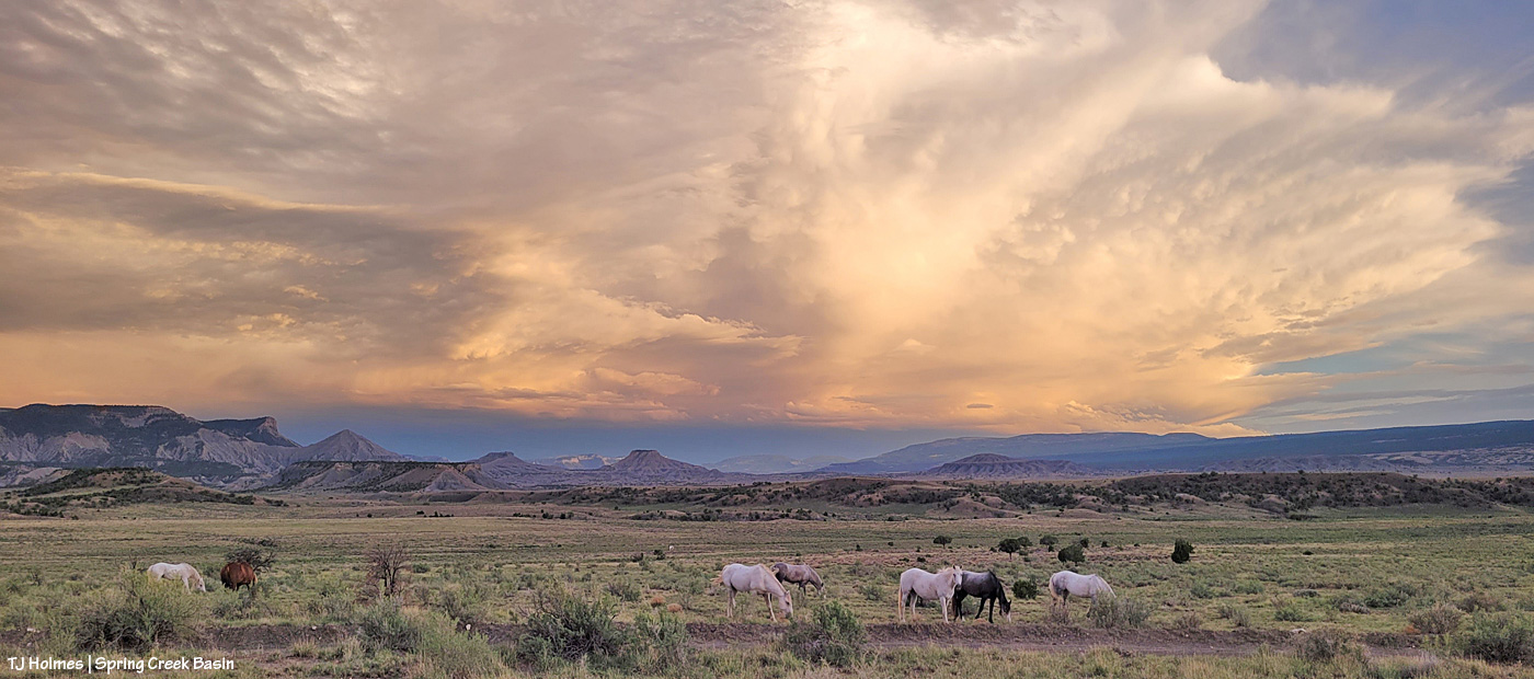
Looking back to the west from the same spot as above. More rain! What looks like white smoke on the horizon at left IS smoke from the Ferris Fire … and I hope it got a good dose of the wet stuff. It wasn’t a high-rain-chance day, but toss the forecast and let ‘er rain!
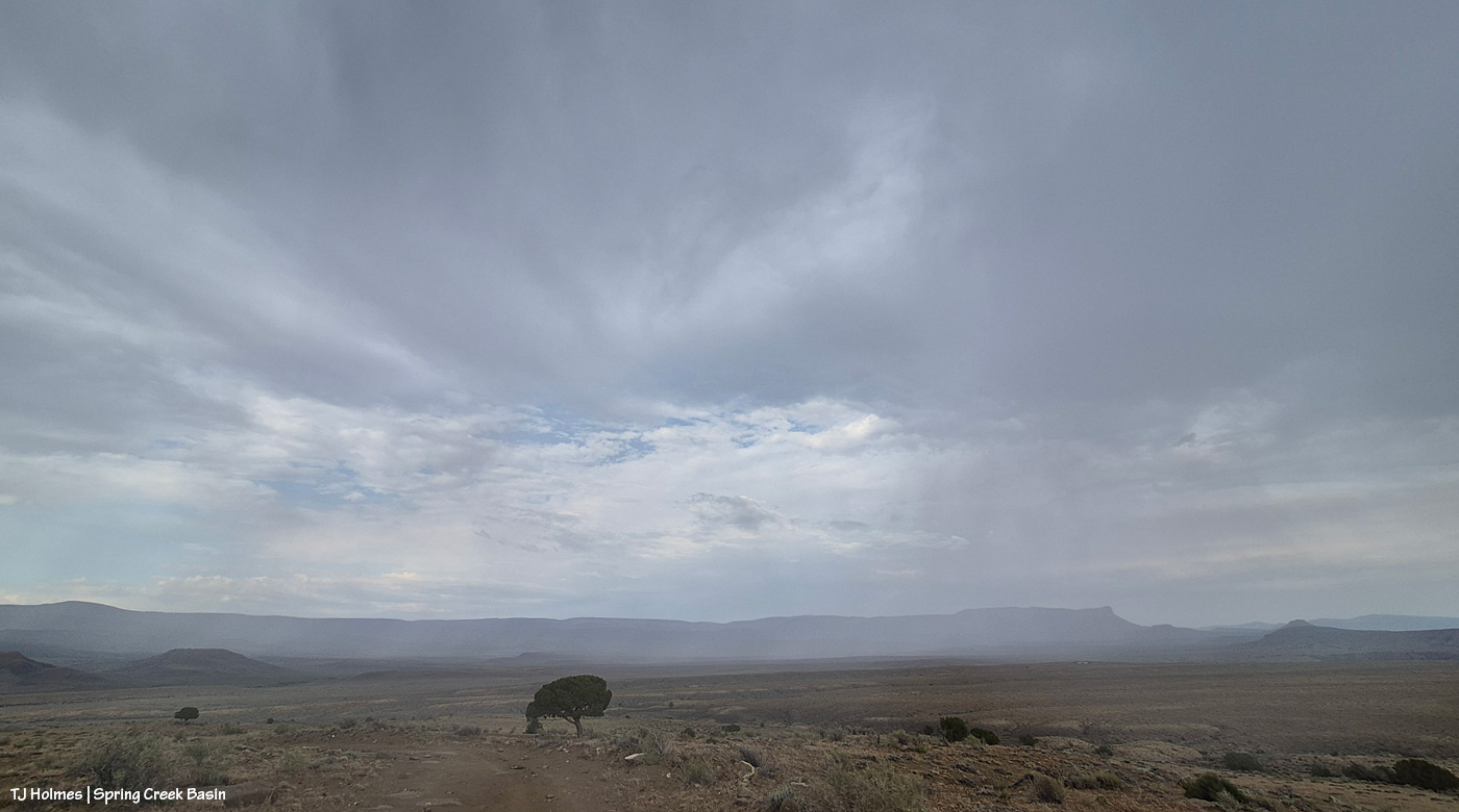
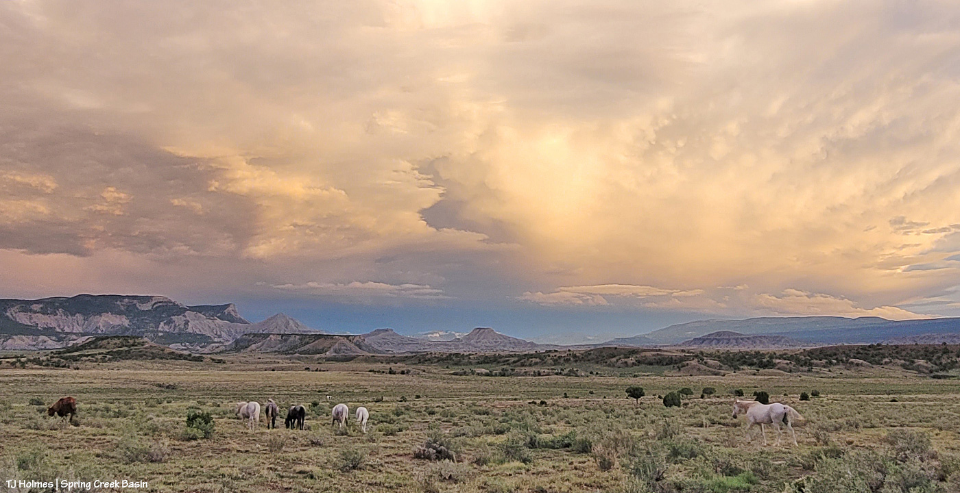
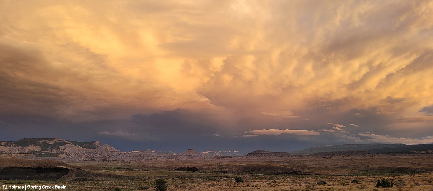
Methinks the weather wizards were outsmarted by Ma Nature herself. 😉 RAIN, BABY, RAIN! This is from Chrome’s Point in western Spring Creek Basin, looking eastish at a curtain of rain that DID, as I was taking pix, make its way west. Unfortunately, I didn’t get tooooo wet. Ha – I would not have minded!
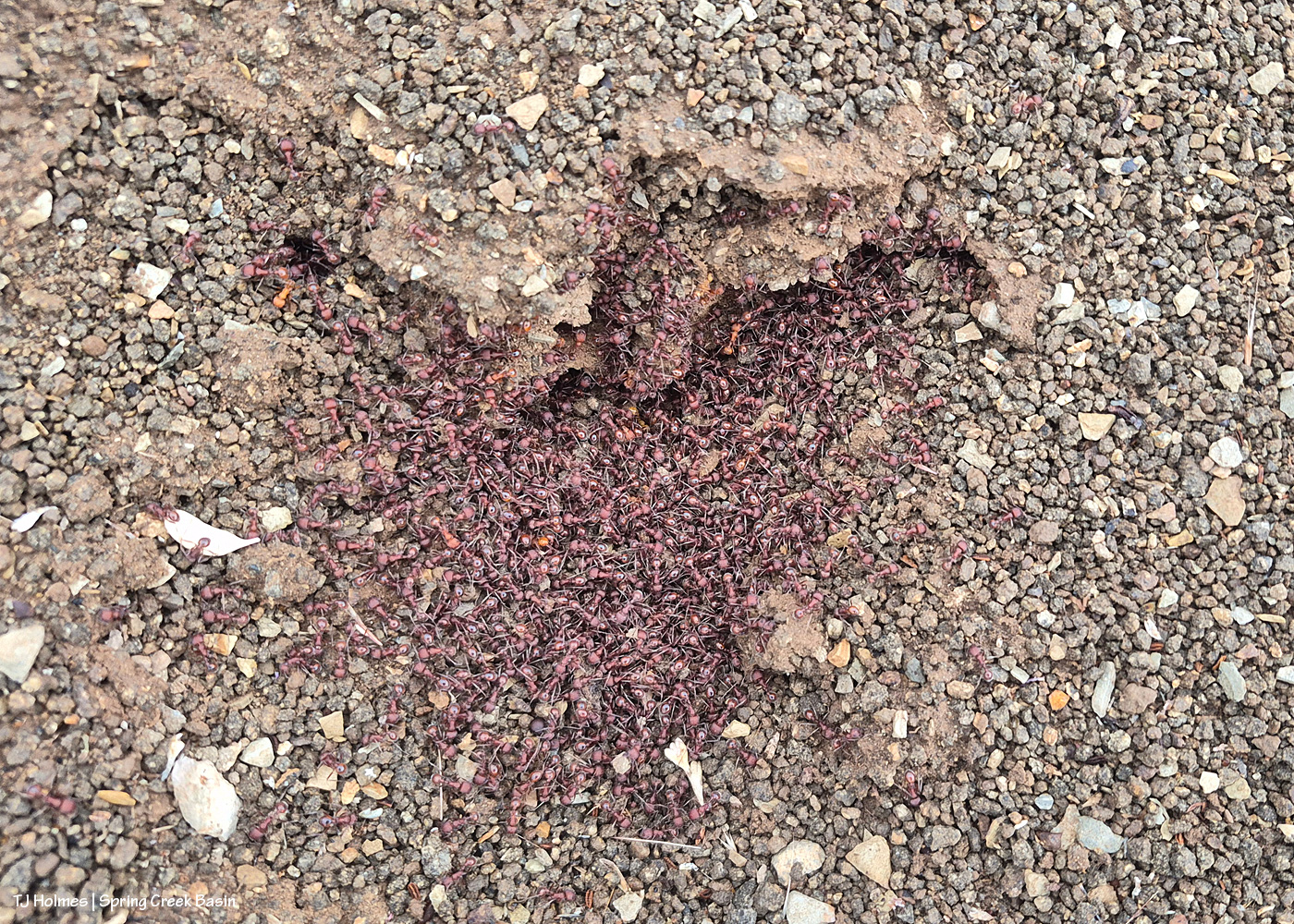
Ants congregating at the entrance to their mound. Apparently, “Ants congregate at their mound entrances after rain primarily to survive flooding. When underground tunnels fill with water, the colony is forced to evacuate. They move the queen, larvae, and food upward to escape the saturation, using the surface or mound entrance as a temporary, elevated sanctuary.” Interestingly, these ants and others I saw doing the same thing in the same relative area happened to be on some of the highest ground in the basin, near the western boundary. I guess that when you’re an ant, everything is at the elevation of ground level (ha ha!).
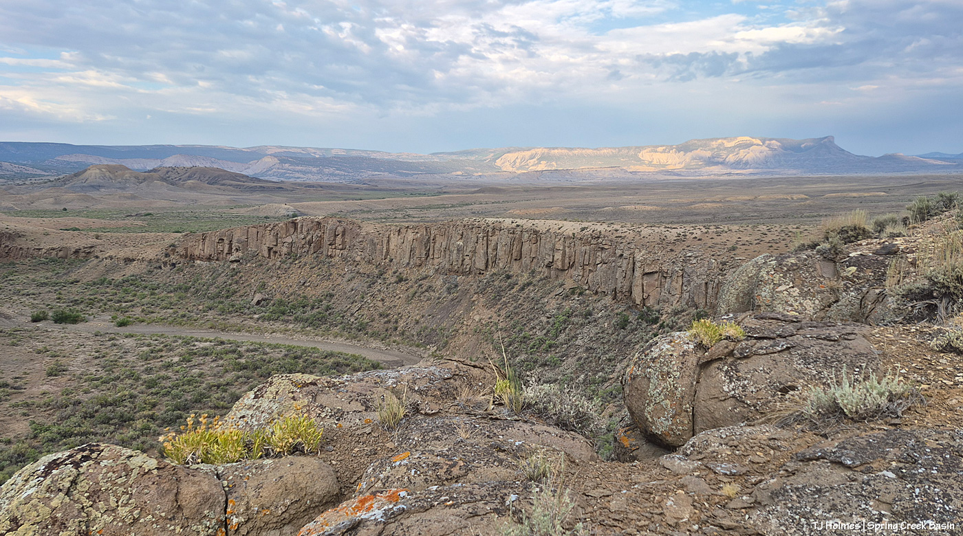
From the south wall of Spring Creek canyon looking eastish after the rain (it didn’t last very long, unfortunately).

Hope you don’t mind this view! It’s pretty spectacular. No, that’s not a road down there in the canyon; that’s Spring Creek arroyo, and just beyond (lower left), it leaves Spring Creek Basin to cross lower-ish Disappointment Valley on its way to join Disappointment Creek (neither of which are carrying water at the moment).
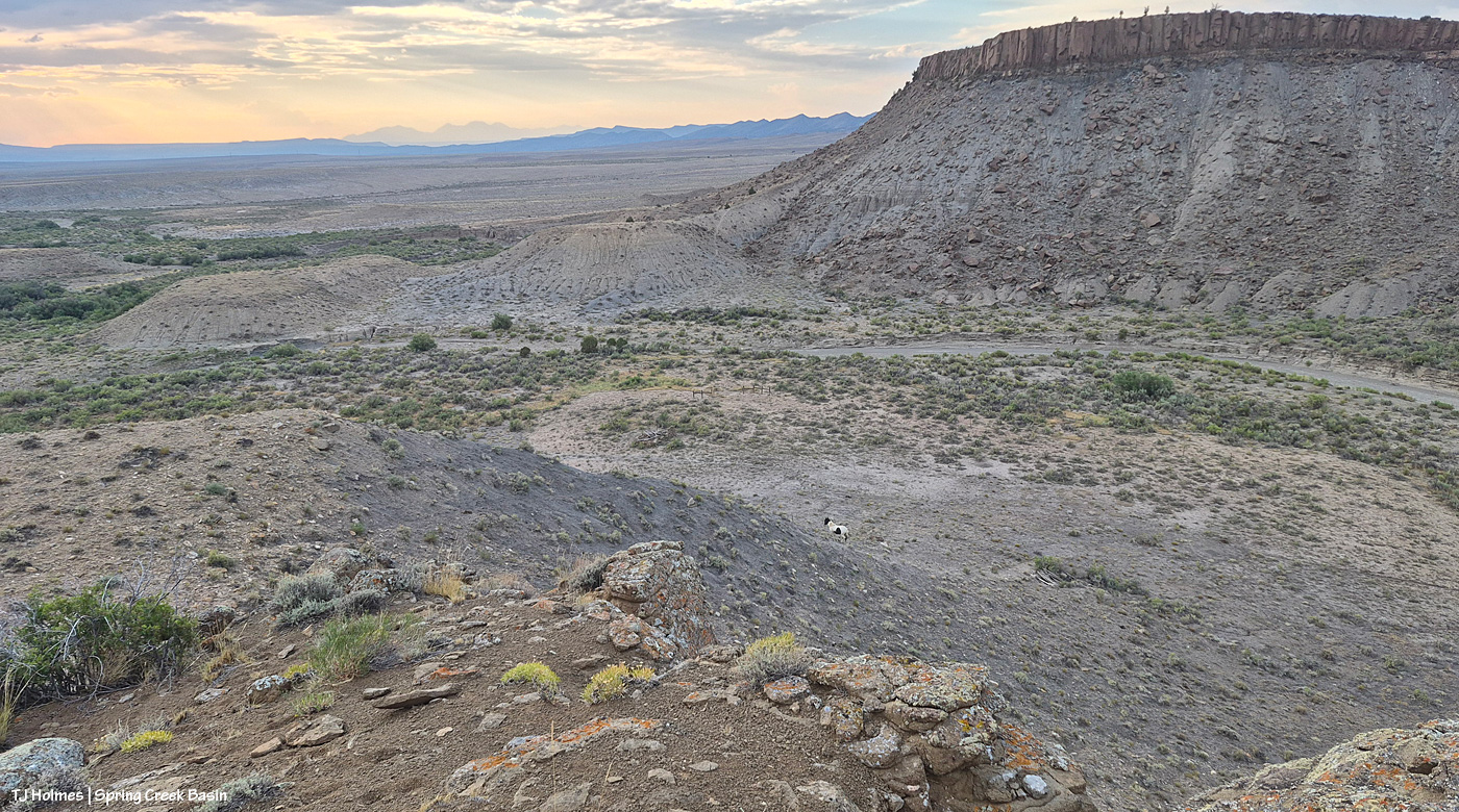
See the pinto pony? This is from the same point as the above two pix, looking generally northwestish across lower Disappointment Valley toward Utah’s La Sal Mountains. There’s a fence across this lower end of the canyon to keep the mustangs within Spring Creek Basin, and there’s a water gap (hanging PVC pipes to move when water DOES flow) across the Spring Creek arroyo. There are a couple of manmade structures down there, one behind McKenna and one kind of in front of him.

As it turned out, though he and his pal and a band were in the vicinity – and the reason I walked out – it was something else entirely that actually took me all the way to the canyon rim. … And that will wait for another post because I got some pix that knocked even my socks off.

To end this post, news that I never want to post because I want it to never have happened, some really tragic news from the Gold Mountain Fire near Ouray and Ridgway: A pilot was killed Sunday when his aircraft, used to aid firefighting efforts on that fire, crashed into Silver Jack Reservoir, in southwestern Gunnison County, on the northeast side of the fire. It’s the worst of all news to lose another firefighter. 😦
Perspective

9 07 2026

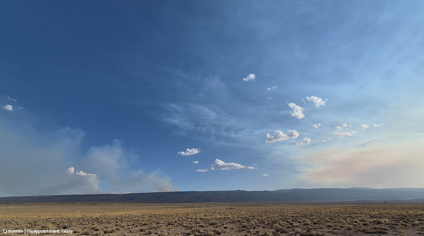
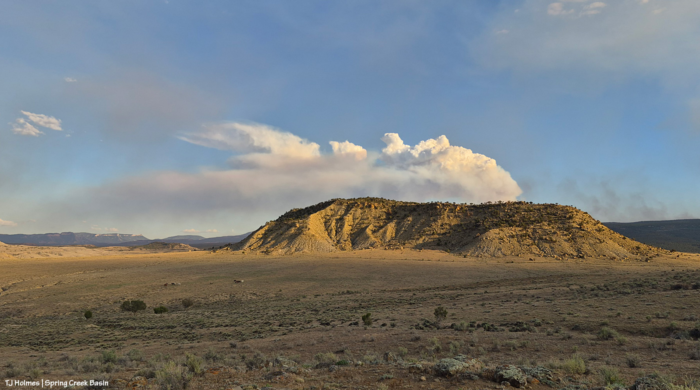
After some reports from different sources of tiny bits of rain here and there (Tuesday day/night, maybe some drips Wednesday), the sky was much more our normal and beloved Colorado-blue than we’ve seen in a run of smoky days. Ferris Fire (60,104 acres as of Wednesday night) smoke at left; Babylon Fire (101,073 acres) smoke at right. Looking mostly south.

The fire must have gotten into some new, untouched fuels by evening because by 7 p.m. or later, it was really sending up a plume. That’s Filly Peak in the near background, and you can see a bit how perspective matters: Not only is the fire not directly behind it, it’s not *super* closely behind/south of Disappointment Valley’s south ridges. (I did still see a little line of smoke in the Ryman Creek area a bit later.) Mustang ponies in the middle ground, napping.

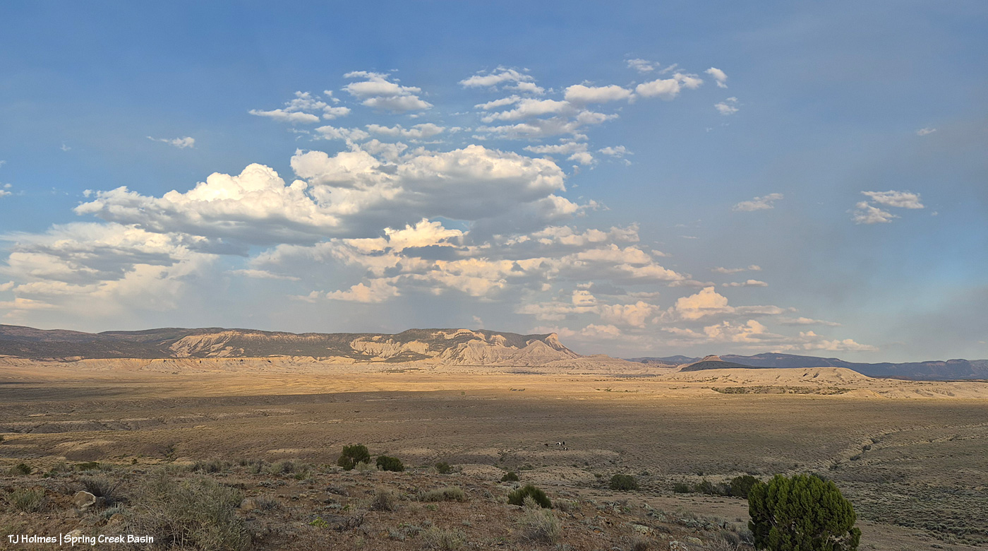
This and the above pic toward Filly Peak were taken from the same vantage point: Chrome’s Point in Spring Creek Basin’s far western region (not far from the rimrocked western boundary). This one is looking slightly leftish of Filly Peak and southeast/east. The smoke is fairly faint … a MUCH better sight than we’ve had the last many days.

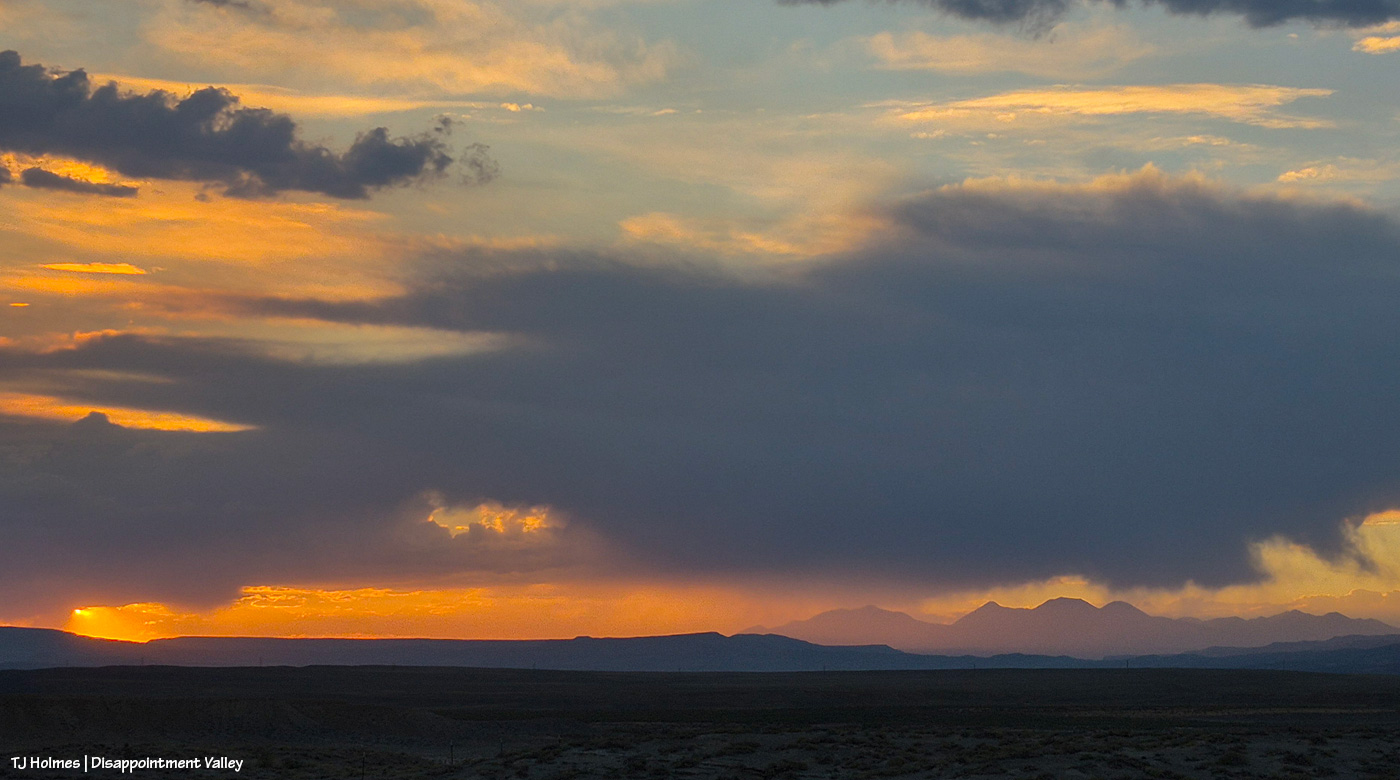
Those are more clouds than smokedrift, though, of course, there’s still smoke there from Utah’s huge Babylon Fire, now more than 101,000 acres. … Mother Nature is trying to stir up the clouds into delivering rain.

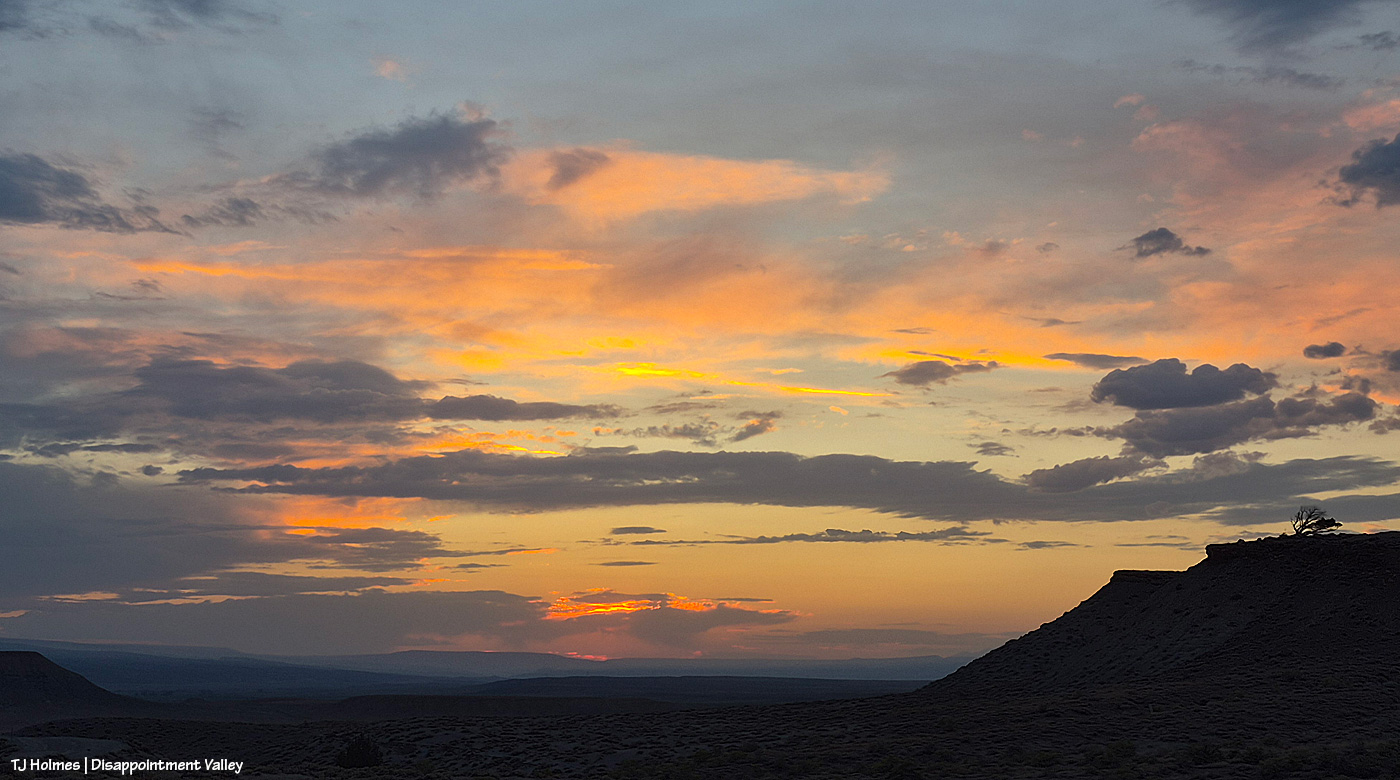
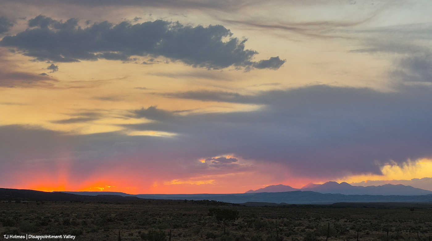
See the pillars of sunset glow at left? I love it when the sun waves goodnight to us like that.

A couple of links to articles I’ve found interesting recently:

Tribute paid to Emily Barker, Nick Hutcherson and Sydney Watson, who died fighting the Snyder Fire. Held in Grand Junction, Colorado. Impossible to imagine the pain of their families and colleagues and friends.

“Monsoon rains are on the horizon,” say the weather wizards, err, experts. We can only hope they’re finally going to be proved right. Some super heat is on tap first.

How some ranchers are coping with the stress of protecting their cattle and grazing lands. This really made me think of the hard-working ranchers I know.


Synchronous dusting

7 07 2026

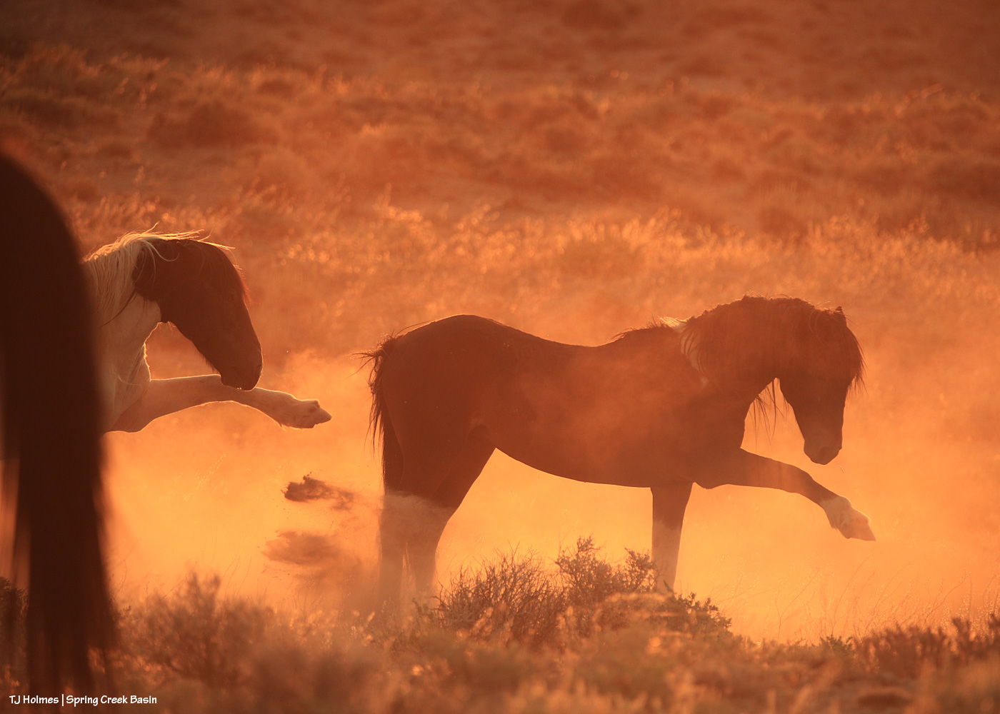
Maiku and Corazon, of course, weren’t thinking of the humor, but in these wildfire days, I’ll take a smile at any opportunity. (Pic from a couple of days ago; yesterday was basically a brown haze nearly all day.)

Fire news: The Ferris Fire is 51,622 acres as of Monday night, and containment has increased to 22 percent. Nearly 540 people are working on this fire, and I would lay a bet that all surrounding residents are unimaginably grateful for every single one of them. Isn’t that pretty fabulous? We may not know any one of them; we love each and every one of them for fighting for OUR lands, our homes, our wildlife, our lives. No caveats, just absolute and total gratitude.

I got lucky with timing on this one, which *was* taken yesterday evening from Chrome’s Point in the basin. It was around 6:30 p.m., and the chopper was heading north from the Ferris Fire, likely back to base in … Montrose? Grand Junction? I wanted to jump up and down and wave and flash high fives, but I probably looked like an ant.

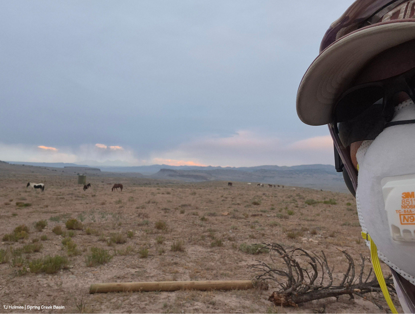
Or possibly a humanoid alien. 🙂 The smoke was bad enough when I set out that I added a mask to my accoutrements. By the time of this pic (sunset-ish yesterday), I may not have needed it, but maybe safer than sorrier? And take a gander to the far northwest mountains (Utah’s La Sals). Is that virga?!? One (and probably a whole lot more than this (some)one) can only hope that even some of that was hitting the parched earth.


Close to home

28 06 2026

This won’t be an easy post to either read or view.

*THE MUSTANGS ARE SAFE*

That’s the important thing (as far as the main topic of this blog, anyway).

Yesterday, Saturday, June 27, at least three wildfires of significance roared to life directly south of Disappointment Valley: Ferris Fire (4,777 acres as of Saturday evening), Far Draw Fire (651 acres) and Doe Canyon Fire (385 acres). There’s also the Horse Head Fire (200 acres) burning to the southwest, in Utah, and the Snyder Fire (28,264 acres) burning north-northwest of here, almost directly west of Grand Junction and just inside Utah.

Red-flag warnings; check.

Wind advisories; check.

Bad air quality; check.

Critical fire weather; check.

Stage 2 fire restrictions in San Miguel and Montrose counties; check (these might extend to other nearby counties, but these are the ones I know about, and most of Spring Creek Basin is in San Miguel County, with the southern/southeastern portion in Dolores County).

Kentucky is flooded, and the West is on fire. Friday night, we had a swift little storm pass through Disappointment Valley – 0.04 inch from four minutes of rain. My guess (guess only; I don’t know yet the cause of these fires) is that they started from lightning strikes. It is one giant tinder box out there. Until the little bit of rain Wednesday, it hadn’t rained here for more than a month.

If images of wildfire smoke bother you (it bothers me), the rest of this post isn’t for you … and the pictures, as usual, don’t convey the bad-ness of the beast. … Again, please know that the mustangs are SAFE. I can’t say what the fires will or will not do, but for now, the horses are OK and not in danger.

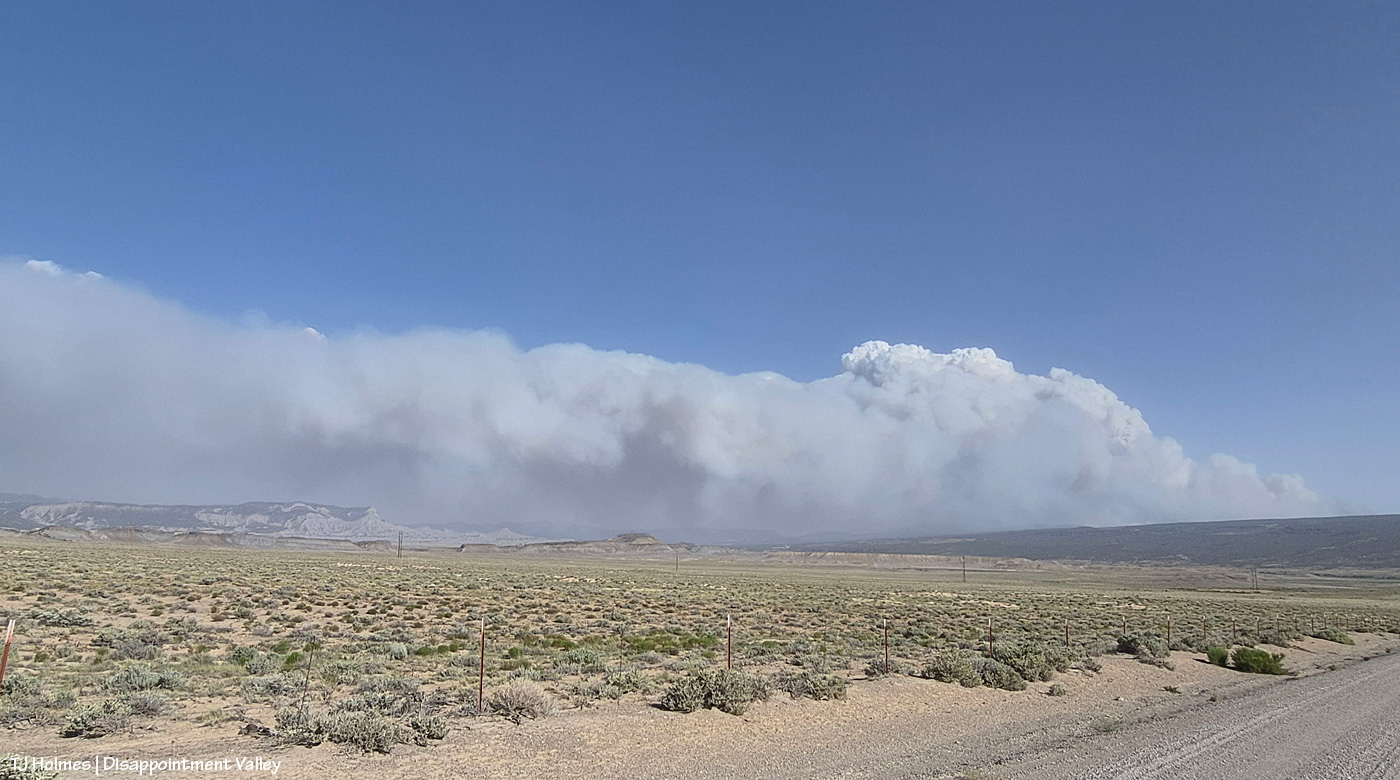
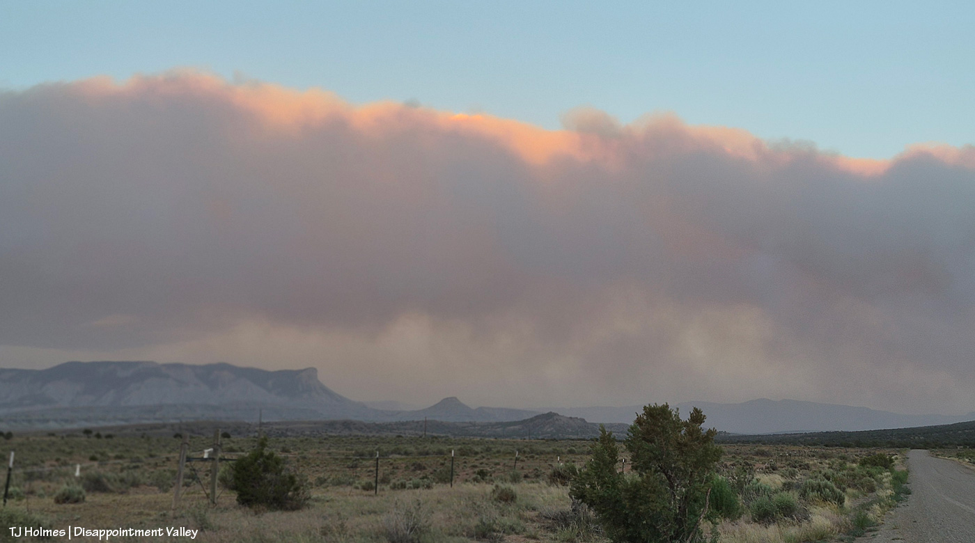
I spent most of Saturday in Ridgway with mustang friends, and this is what greeted me and Kat Wilder upon our return to Disappointment Valley. This is from the northern part of the valley, a few miles south of Colorado Highway 141, looking southeast.

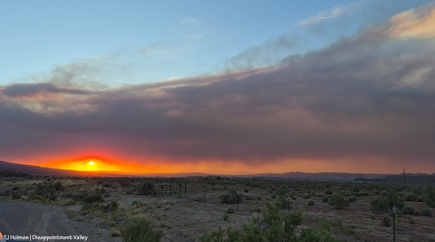
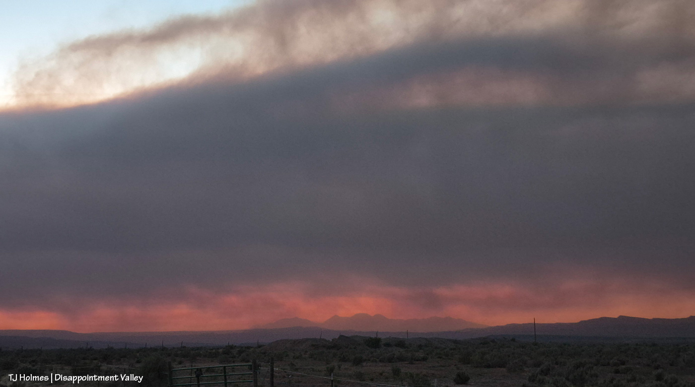
Looking west at sunset; this smoke is from the Utah fires.

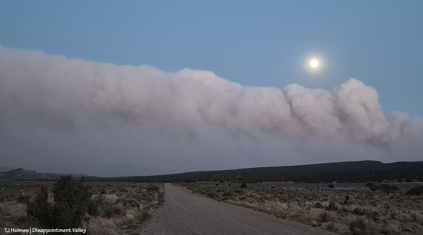
The majority of the smoke seems to be passing east of the eastern side of Spring Creek Basin; McKenna Peak, Temple Butte and Brumley Point are all visible. … The smoke ain’t great up-valley; it smells like you’re in the middle of a campfire (and by the way, campfires and any other kind of fires are strictly verboten (that means forbidden!), not to mention dumb as hell).

Stage 2 fire restrictions in San Miguel County, Colorado:

Stage II Restrictions

The following are prohibited under Stage II restrictions:

  1. Open Fires
    1. No campfires, charcoal grills, wood-burning stoves, chimineas, tiki torches, or any open flames, even at private homes or campgrounds.
    2. Gas grills or propane stoves are allowed if they can be turned on and off, and only in areas cleared of flammable materials.
  2. Smoking except within an enclosed vehicle or building
  3. Chainsaws or other equipment powered by an internal combustion engine, unless it has a working spark arresting device
  4. Outdoor welding or acetylene torches unless in a cleared area at least 10 feet wide and a pressurized fire extinguisher must be on hand
  5. Off-road driving or parking: vehicles must stay on established roads, trails, or parking areas. No parking over dry grass.
  6. Explosives and fireworks

Post-sunset looking west again. … This is NOT the “red glare” we like to see. 😦

Please, please be careful out there.


A few of my favorite things

1 10 2025

Mustangs, Spring Creek Basin, water and aspen – all in the same view. Many of my favorite things. 🙂


‘I love magic’

26 08 2024

Prepare ye for brilliance.

When I went into the basin Saturday evening, this was the view to the northwest beyond Spring Creek Basin, its namesake canyon and lower Disappointment Valley. You can just see eastern Utah’s northern La Sal Mountains at the right edge of the vast curtain of storm-rain.

This pic, with its sage-covered foreground, semi-jagged horizon and gorgeous-glorious sky with angel rays above an isolated downpour of distant rain, illustrates *The West* to me.

Fast forward a couple of hours, and this was developing above our southeastern horizon: end of Valentine Mesa, Temple Butte, McKenna Peak, the crowns of submarine ridge and Brumley Point over Knife Edge, The Glade in the far distance (hi, Rick!) beyond Round Top and Flat Top.

At the same time as above, this was the view to the west. I thought we were going to get last light through that window to the right of the sun, but the clouds had other ideas.

While my very long lens is perfect for capturing pix of the mustangs, not even my wide-angle lens (if I’d had it along) is wide enough for this amazing view of Storm’s band under the, uh, storm clouds (he WAS born under a storm!).

The light on those clouds – and the very far ridges (bottom center between submarine ridge and Brumley Point) – with that narrow band of dark, dark blue (that’s rain away off yonder) … WOW. And just right of very bottom center is a young wild pony who recently left his family and is usually with a calm elder-ish bachelor but this evening was having fun (between peaceful-grazing energy-restoration periods) creating havoc among a few other widespread bands.

Storm at right heading back to his band after leaving a deposit on a stud pile on the road (where I am … really needing to leave as dark approaches but unwilling to leave the gorgeousity).

Other than sharpening, this pic is exactly as it came out of my phone’s most-excellent camera (how DID we survive without cameras in our phones that we can take to the wildest places on Earth?! I won’t be without my camera-cameras … but I do love my phone’s camera for the wide, wild shots). Nerd info: The other pix also had some shadow-lightening applied (with sharpening) to better see the horses in the foreground, but that’s it. WHO NEEDS AI when you have this kind of light happening right in front of you????

It’s straight-up magic, folks. Ma Nature is kind of a genius. 🙂 All I do is point and click. And share. 🙂

We didn’t get rain out of either of those storms … but we got *divine* and very fabulous rain Sunday morning!

(Thanks to Harry Potter for this post’s title/quote!)


Watchers

15 06 2023

Something a little different today inspired by a recent introduction.

Pictured are three bands in what I call the east pocket of Spring Creek Basin. It’s hard to get to because of the current condition of the road, but it has always been one of my favorite places in the basin, and this season, some of the horses seem to agree.

A few weeks ago, I got a message from Rick Freimuth, who is a firewatcher based at Benchmark Lookout in the San Juan National Forest. He shared with me a glorious sunset pic he had posted recently from the tower and said that just a little outside the frame of the photo was Disappointment Valley – and Spring Creek Basin. As it turned out, I had recently taken a pic in which I included the ridgeline on which the lookout tower stands, so I sent it to him in turn.

Later, I specifically took these pix, from the east pocket looking southward toward the Glade and Benchmark Lookout to share with Rick and his wife, Linda.

See the tower? Highest ridge at upper right.

Benchmark Lookout stands tall, amid aspen and ponderosa forests and looks out over VAST country – all over southwestern Colorado and into Utah.

Rick and Linda have an amazing job, and this 2020 Cortez Journal article highlights the work they do to assist firefighters in the region. If their tower home looks like a lightning magnet, apparently it is! … But the VIEWS!

Years (and years) ago, I went up to Benchmark Lookout to do a story for the Dolores Star. Rick and Linda know Barbara Zinn, who was the lookout then. Words such as “incredible,” “marvelous,” “astounding,” “outstanding,” “amazing,” “fabulous,” “fantastic” … fall far short of the actual wonder of the view. From Spring Creek Basin, I often point out to visitors the tower standing guard over our cherished, local public lands.

Kudos to Rick and Linda and all the other firewatchers and protectors of Colorado’s (and America’s) public lands!