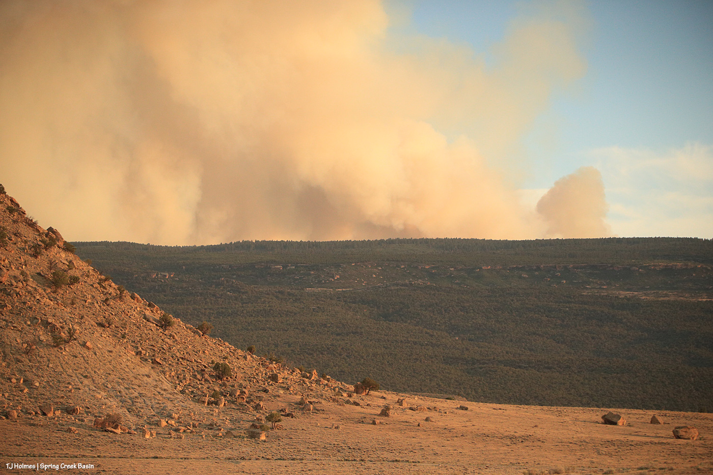
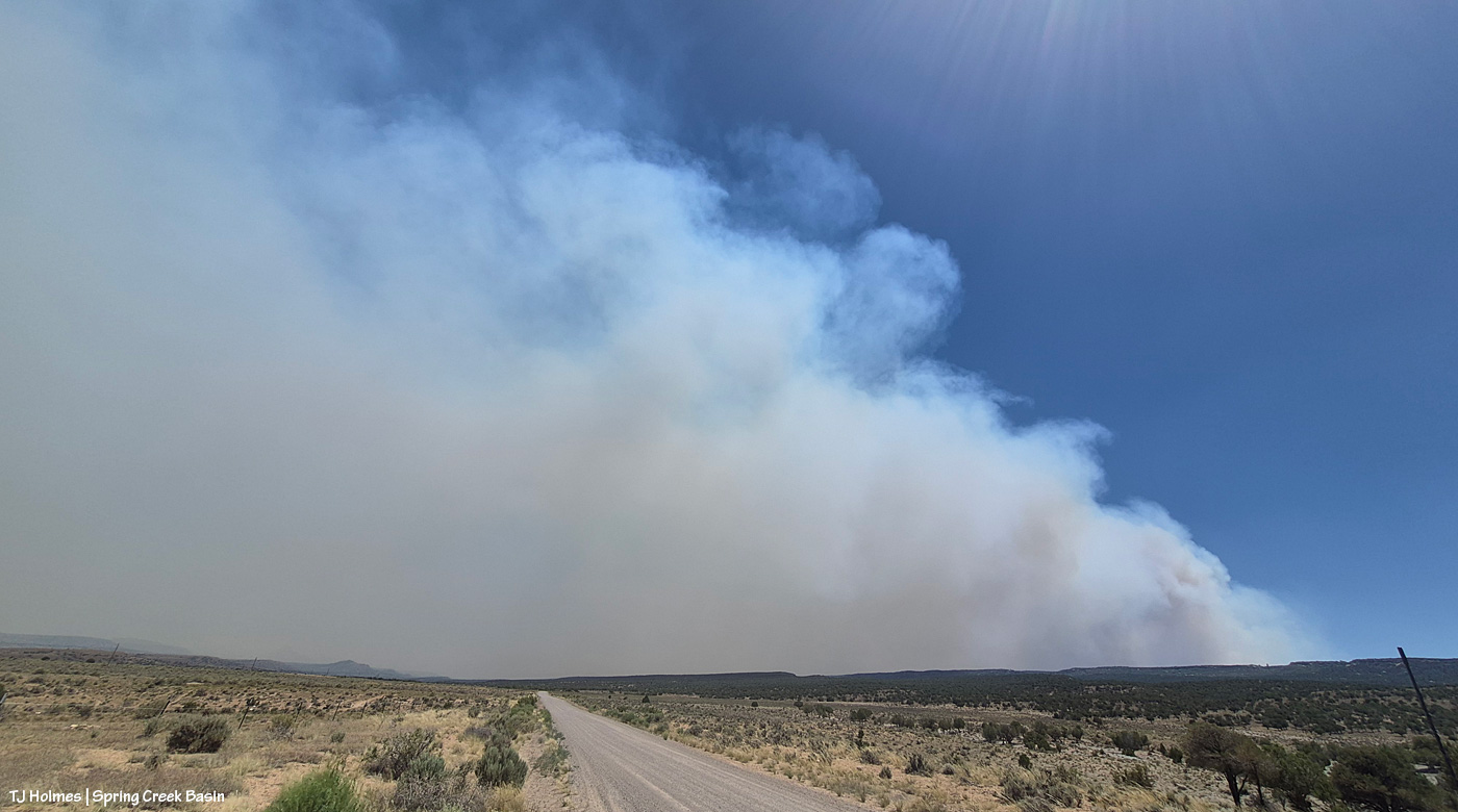
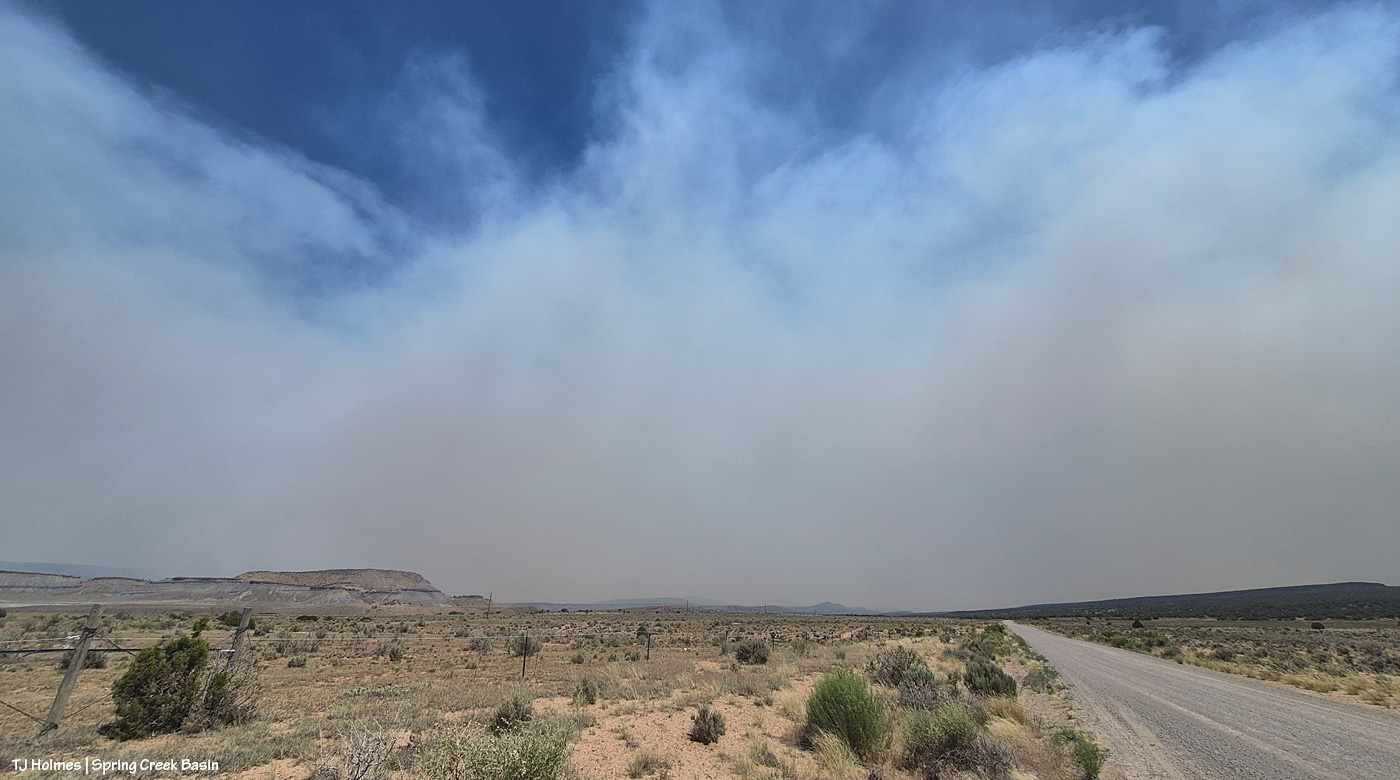
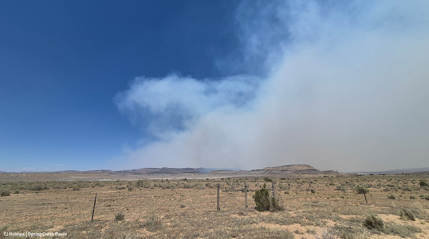
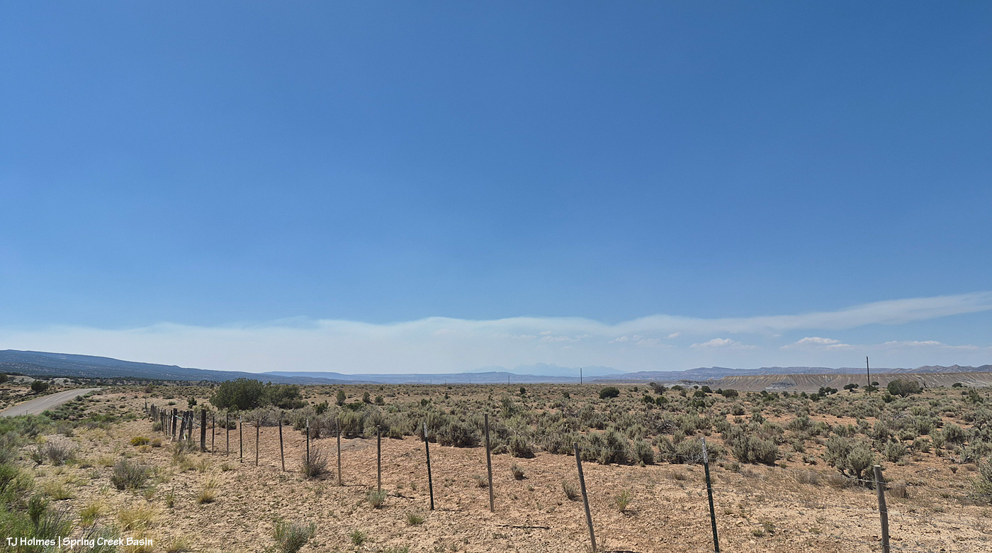
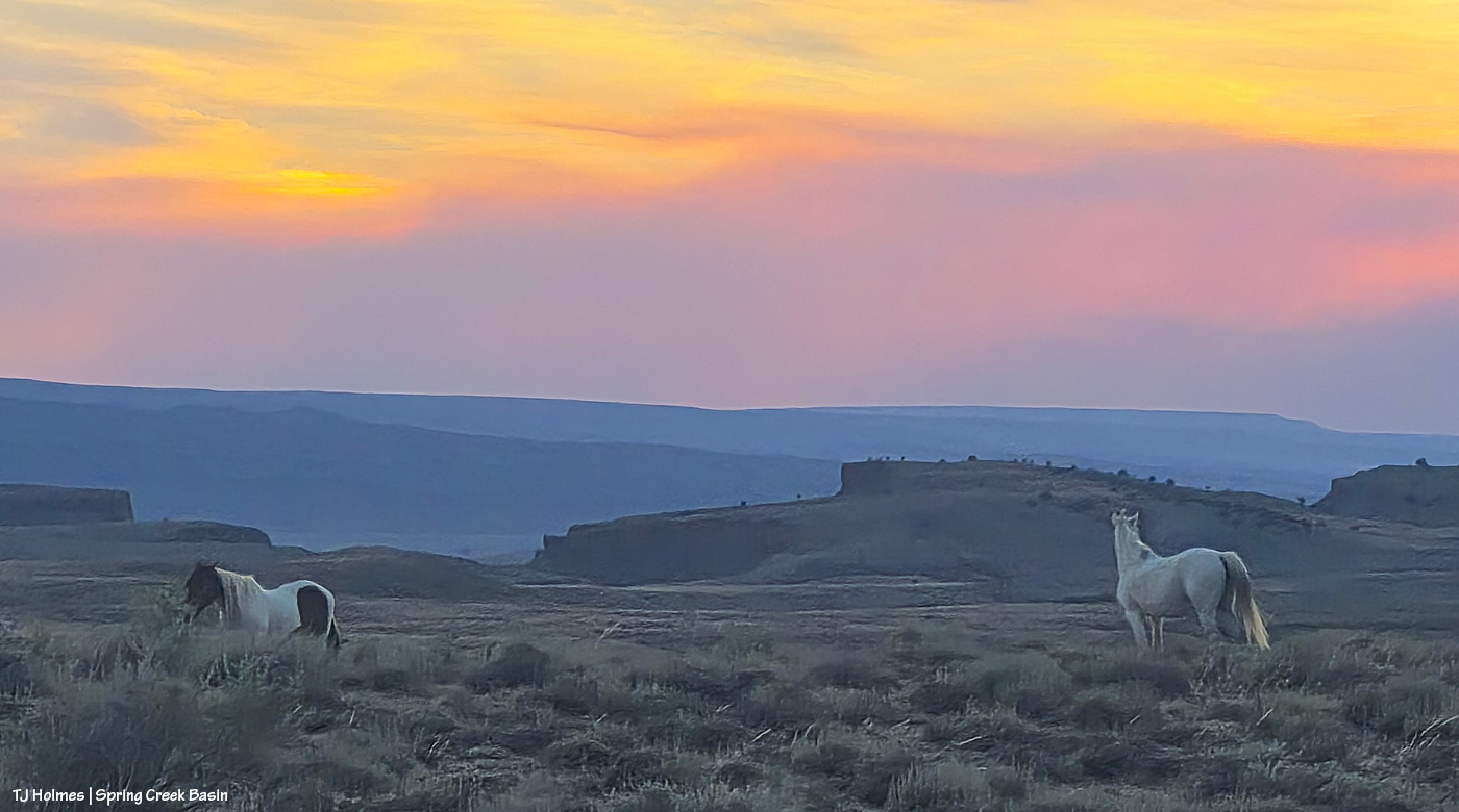
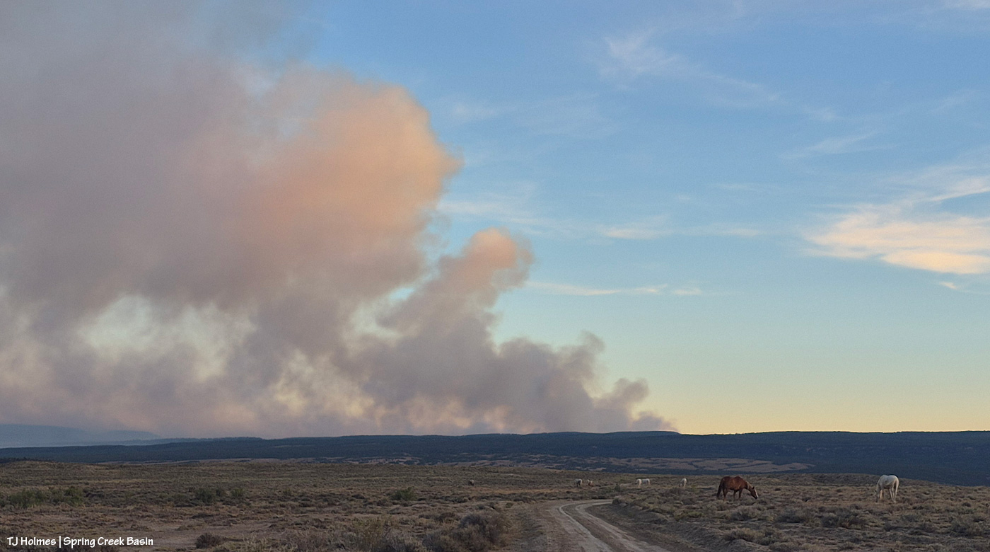
In yesterday’s post, I promised for today’s post pix of a fairly stunning storm system that blew up over Disappointment Valley in the mid-or-so afternoon through sunset. This will be a photo-heavy (heavy on the heavy) post. The pix also are all from my phone. The immense scale simply wasn’t possible to capture with my long lens and narrow range of view. A few times, I wished I’d gone to the effort of getting my camera out of my backpack … but most of the time, I was too afraid to miss one second of what was happening, and, again, the sheer width of scale of the storm’s coverage across the horizon(s) was just too, well, wide.
I hate to be one of those telling you to “read through till the end” for the best part, but … well, let me know whether the final pix, of sunset light in the EAST, were worth waiting for.
Onward!
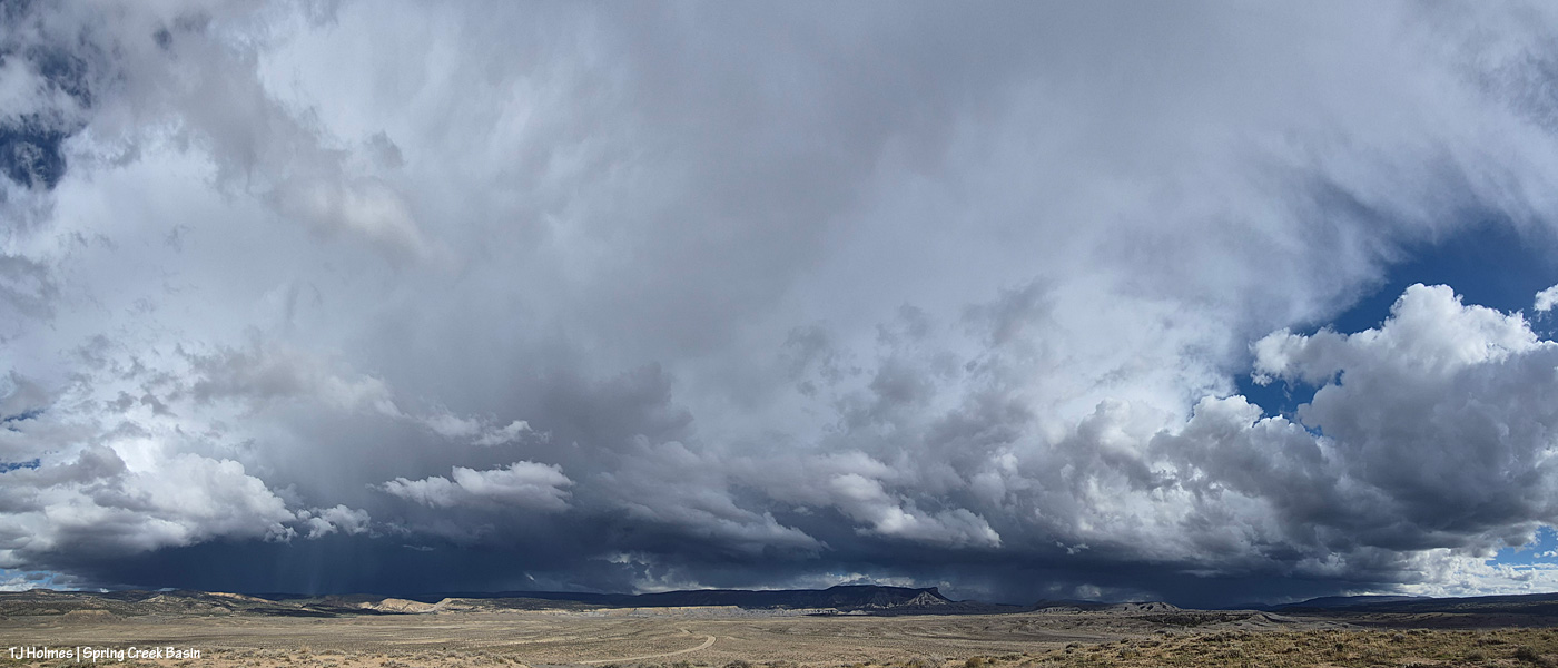
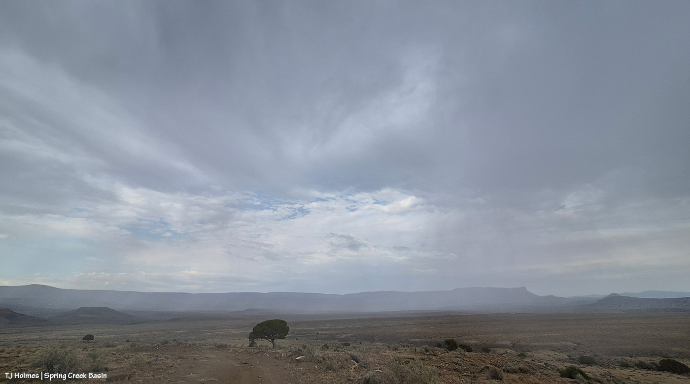
As wide a field of view as my phone can capture, it took four images, stitched into a panorama, to produce this image, looking from southeast at right to north-northeast at left. So if possible, imagine the scene not as a flat, two-dimensional view but as a curved (?) view. The storm definitely was coming from the southeast and moving north (left) … and around/beyond the basin, across the north, to the west? I sat for a long time at the main/original catchment watching it and taking pix as the sky evolved – in sunshine the entire time.
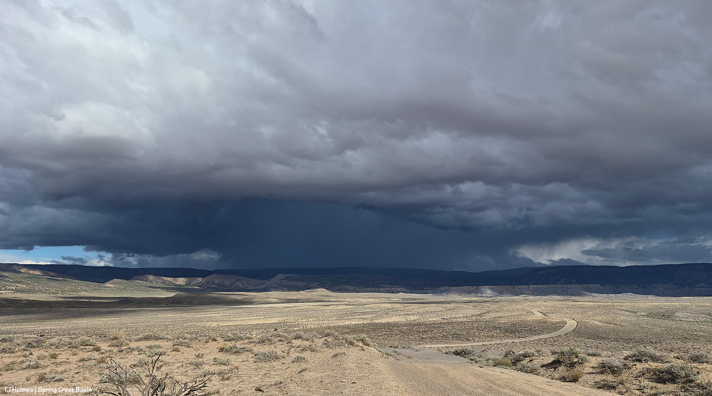
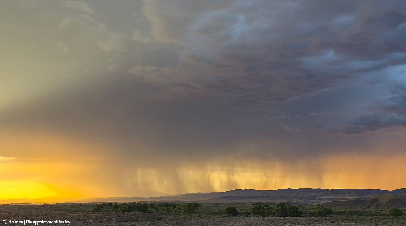
This was the first pic I actually took. There’s a pretty obvious downpour straight ahead, which is basically east-northeastish. It was not raining over Spring Creek Basin at this point, but the clouds were definitely shading the far, whole eastern horizon. Thunder was rumbling now and then, but I never saw lightning. The vast majority of the basin was under sunlight. There ARE mustangs way, way out, at the leftish side of the image.
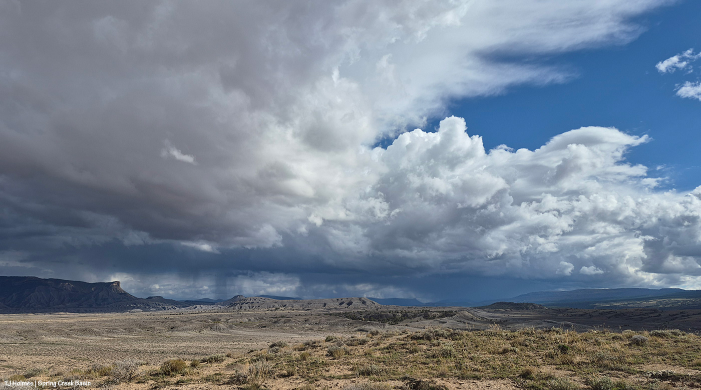
A little more detail of the rain running across the landscape from near/over (?) Benchmark Lookout (at the leftish side of the dark hump of “hill” at far right) across upper Disappointment Valley and beyond Temple Butte (the edge of the promontory is just spotlit by a bit of sunlight).
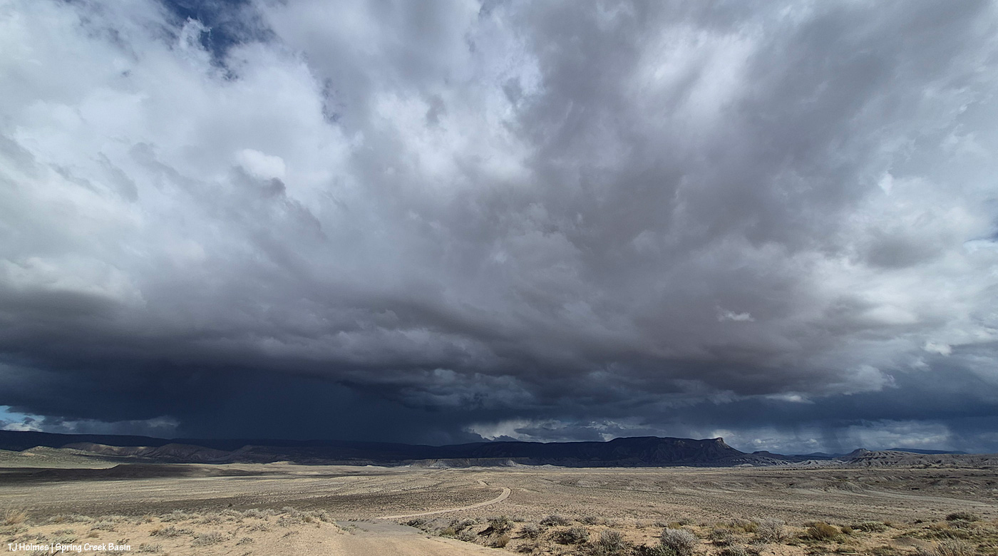
And swinging a bit more to look east.
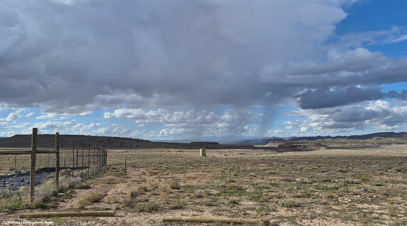
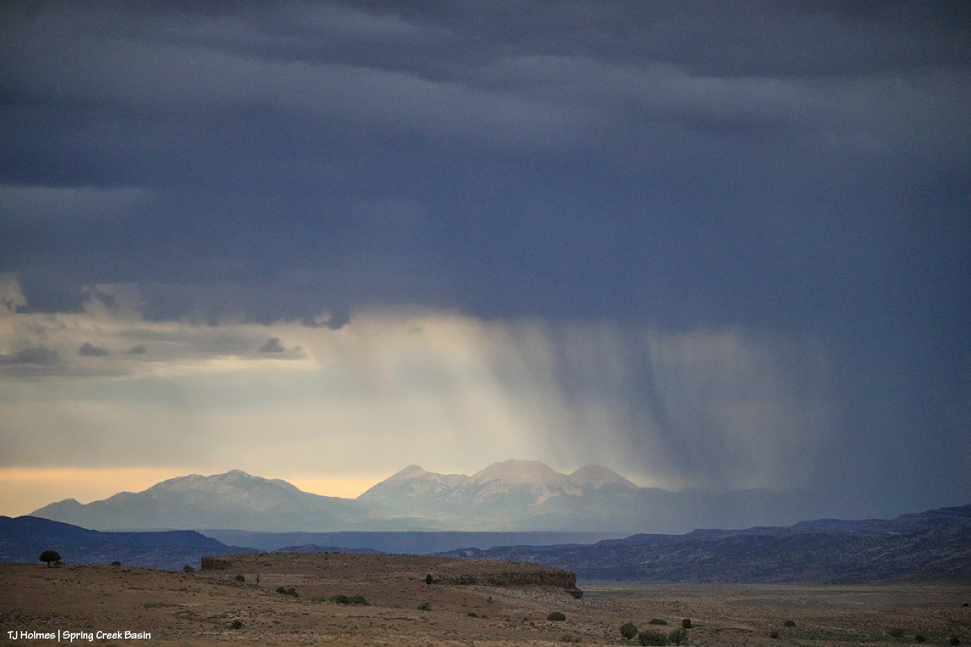
Meanwhile, a lighter rain system was moving north to the northWEST. You might be able to make out Utah’s La Sal Mountains through the curtain of rain (way) beyond Spring Creek canyon.
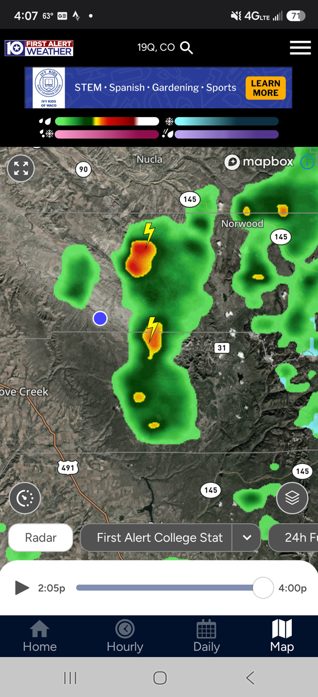
This is roughly what that looked like on the radar (a little delayed, I think). The blue dot was me, in the middle, in the sunshine. 🙂
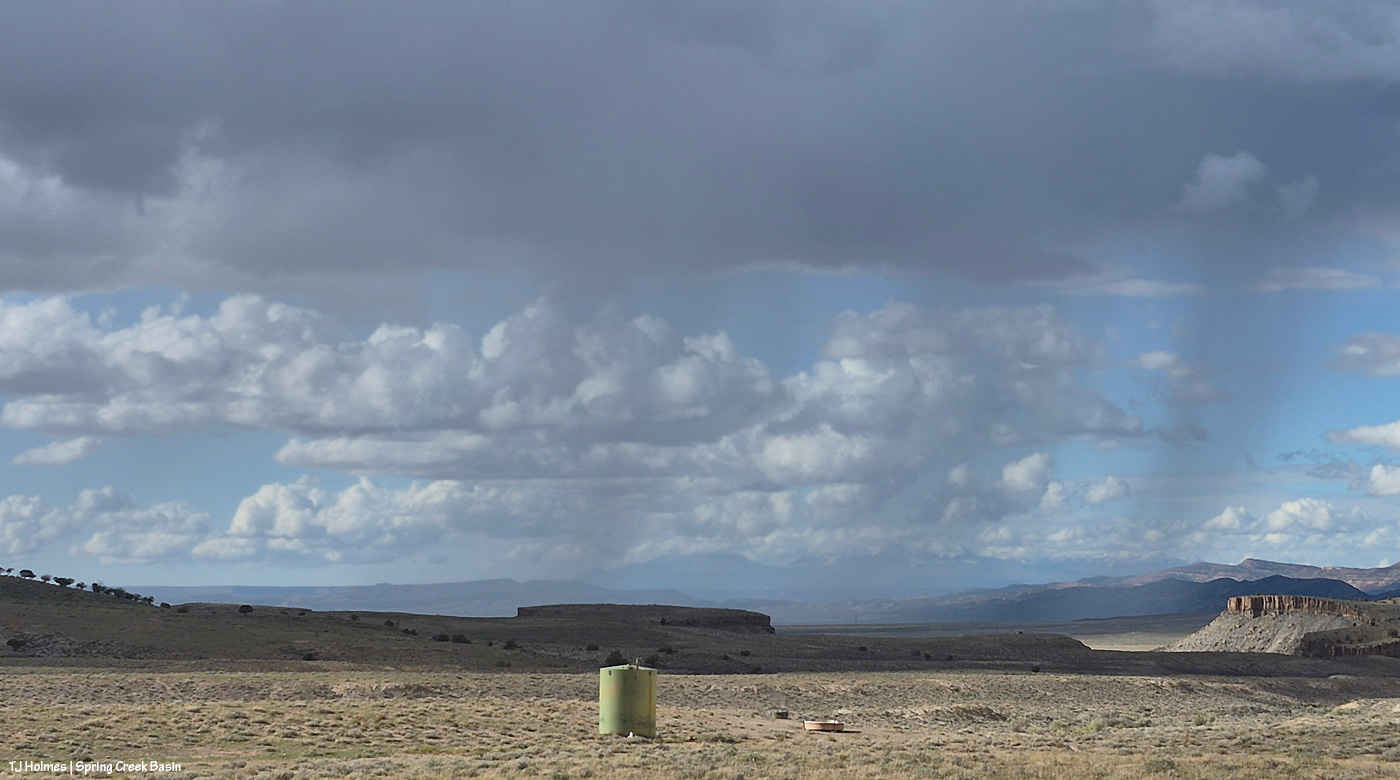
There are the mountains; see ’em? I think the rain was moving across lower Disappointment Valley and maybe/probably not quite as far west as Utah. I’ve been in the same place taking all these pix (I sat there for quite a long time): at the road by the fenced-enclosed aprons that catch rain (and snow in the winter) and direct that water down to the 12,000-gallon green steel tank … and from there to the main water trough you can see downhill and to the right of the tank. (The farther, smaller, black trough is wired off because it’s a lot smaller, and darker, and the horses don’t prefer it. The big trough is the main trough. You can’t quite tell from this distance, but it has a triangular metal cover over it that enables the horses to get to the water and also helps prevent evaporation (or better than it would be if uncovered).)
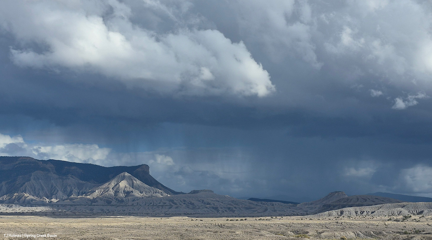
And looking southeastish again. Apologies (not really) for the redundant pix … but this is one of my favorite views in the whole, great, wide and wild world … especially when it includes rain!
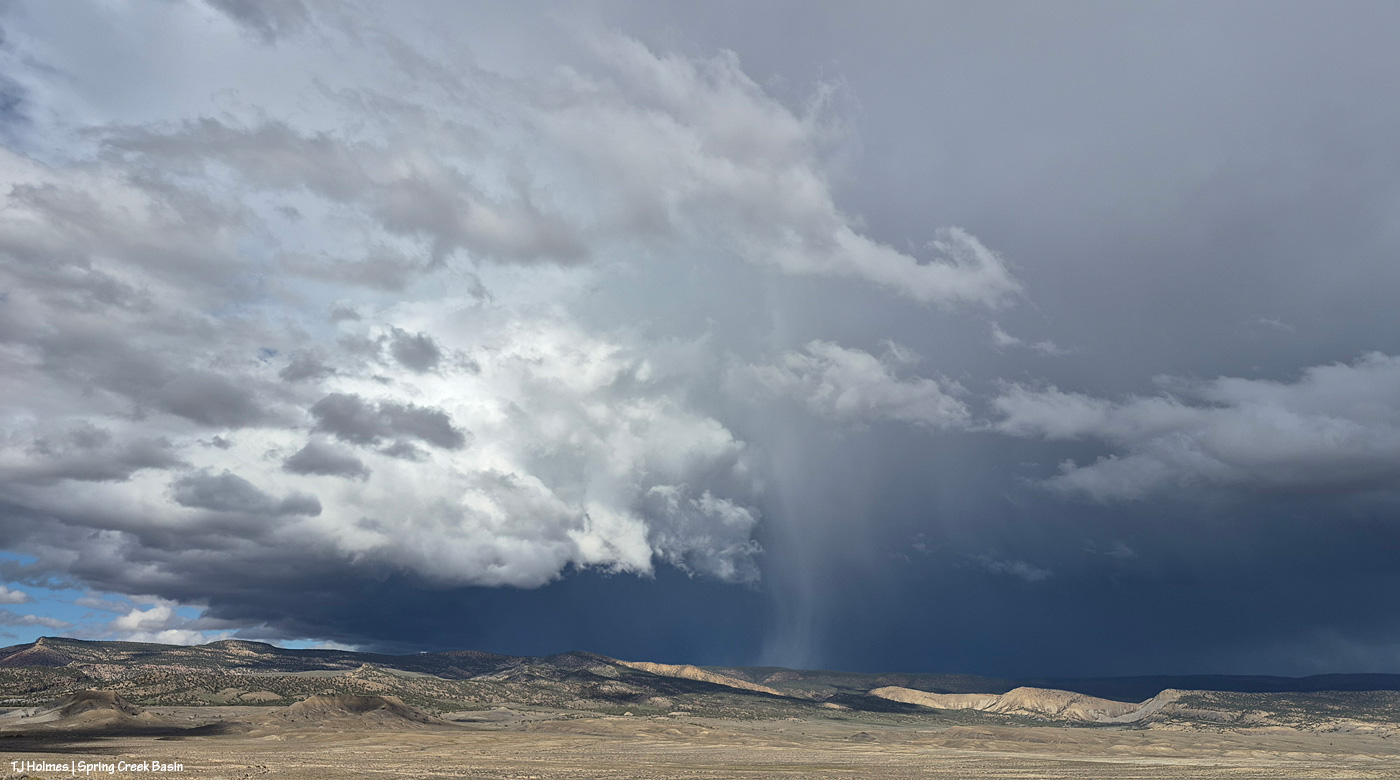
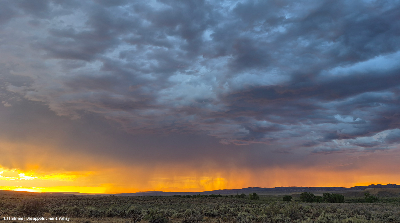
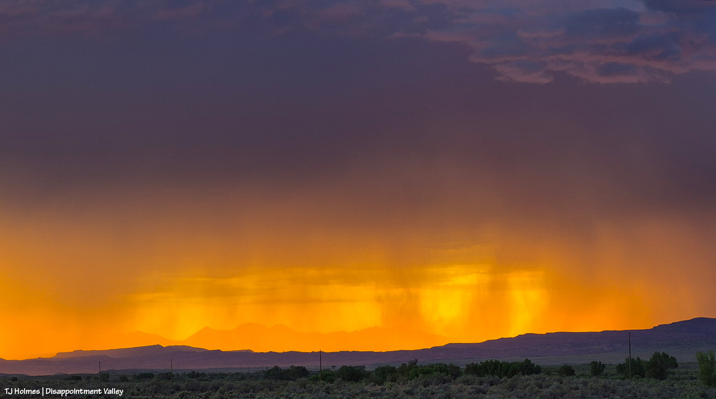
See how DARK it got to the northeast? Again, that’s beyond Spring Creek Basin – at least at this point (spoiler alert). But see that lit “column” of rain? Wild? I spent a lot of time and phone space taking pix of that cool thing as it moved with the storm system across the northern horizon toward the west (and I was in sunshine all the while).
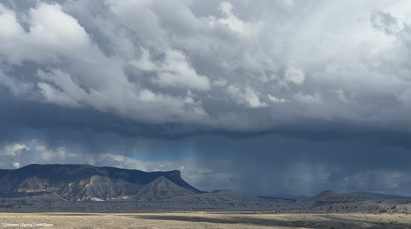
Checking the progress of the rain to the east-southeast again. At this point, I think it was getting closer to Temple Butte – the rain, not just the shade of the rain clouds.
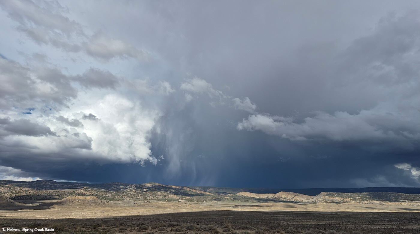
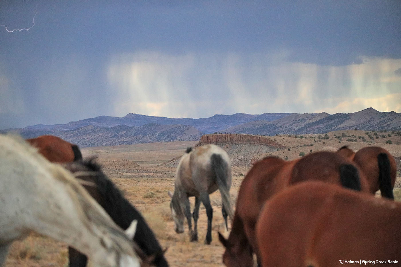
Another look up to the northeastish at that remarkable flame of spotlit rain. Notice, too, that we’re starting to get a great shadow of clouds over a great portion of the basin now. (I promise there were mustangs out there; I was watching about five bands way, way out while I watched the spectacular sky-show.)
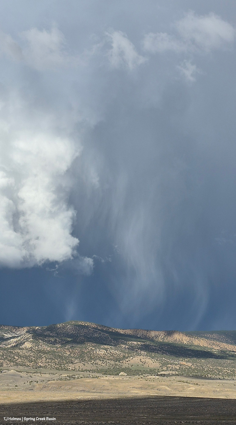
I mean …
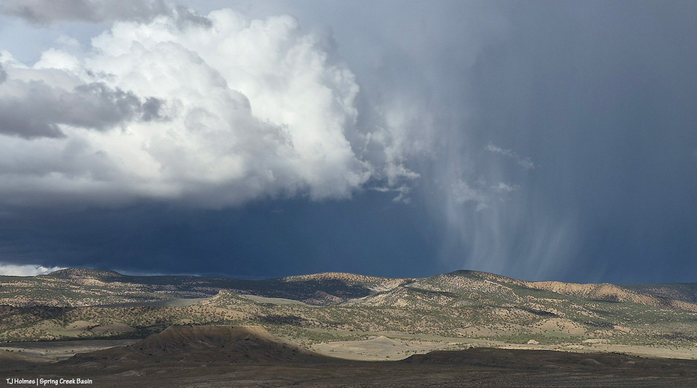
… it was …
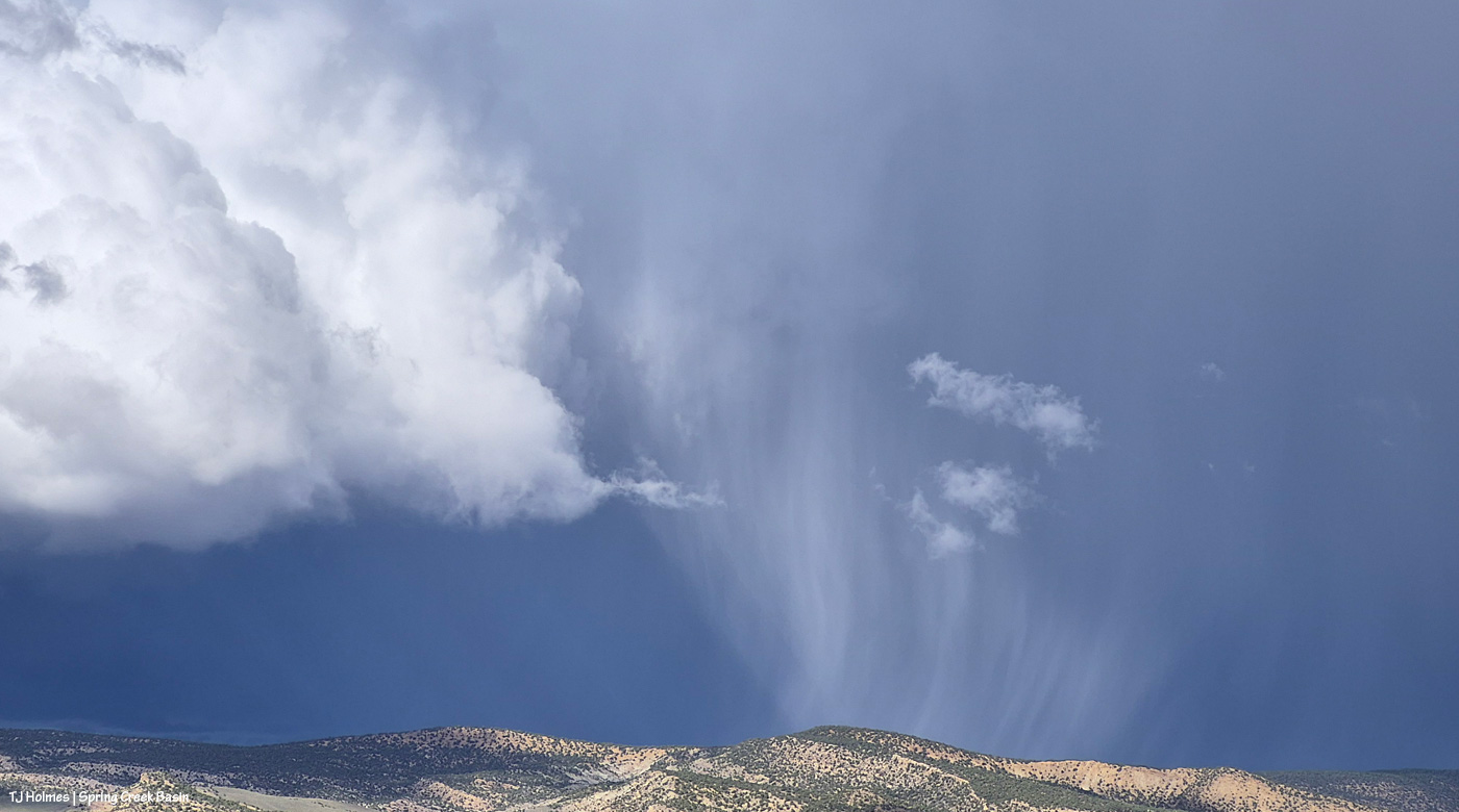
… just soooooo …
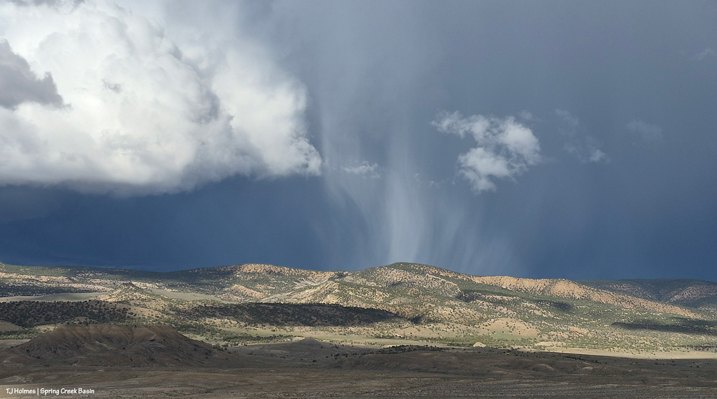
… COOL!
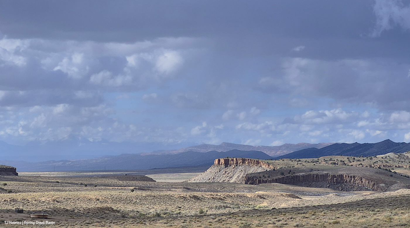
Checking northwest again, over the canyon. That’s the north side at right, and you can just see part of the south side at far left. It’s not that wide; it curves a lot.
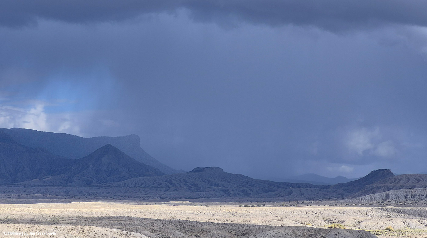
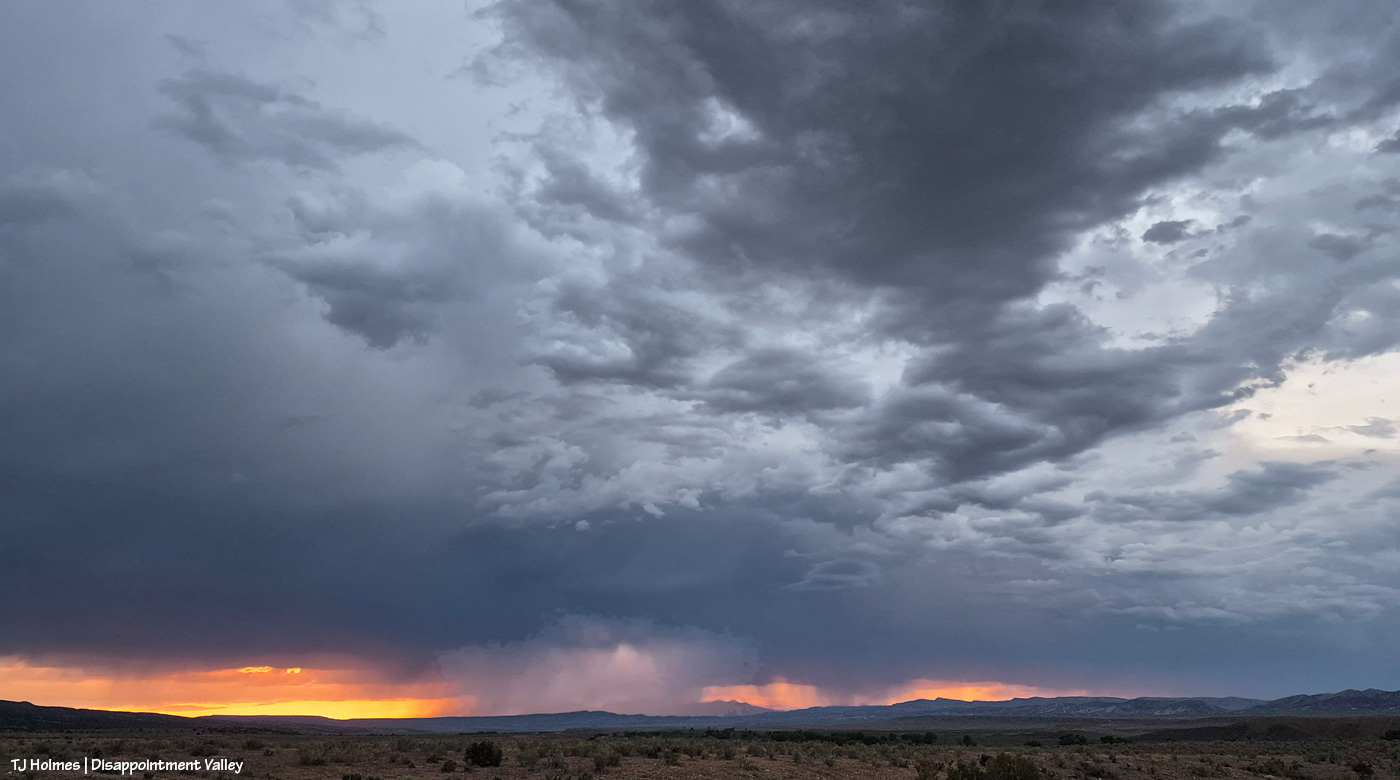
Ah! Rain has made it far enough west to cover Temple Butte (the promontory), at least, and maybe reaching McKenna Peak (the pyramid) and the eastern part of Spring Creek Basin. But note how sunny it still is.
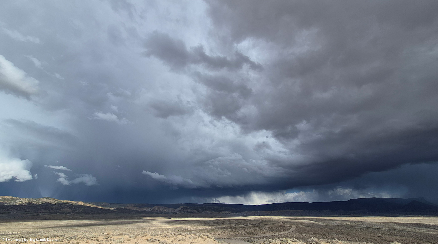
Another very wide-angle view (just one frame). At farthest right, definitely getting rained on now: Temple Butte and McKenna Peak. At left, the remnants of that crazy … I don’t even know what to call that?! Looking like someone was shining a gigantic spotlight from the ground to the heavens. And still, I’m sitting in the sunshine.
At that point, I decided to head out. I wasn’t sure about crossing the V-arroyo (it gets pretty pillowy-muddy in heavy rain and is difficult to impossible to cross in that state), and most of the horses were well north of that point – and that’s before you even get to the first Spring Creek crossing. While thunder had been rumbling like a slightly disgruntled giant, I hadn’t seen any lightning, but in the wide open, I have a healthy respect for it (and a recent encounter of a near-simultaneous lightning-strike-thunder-CRACK is pretty close to front of mind lately).
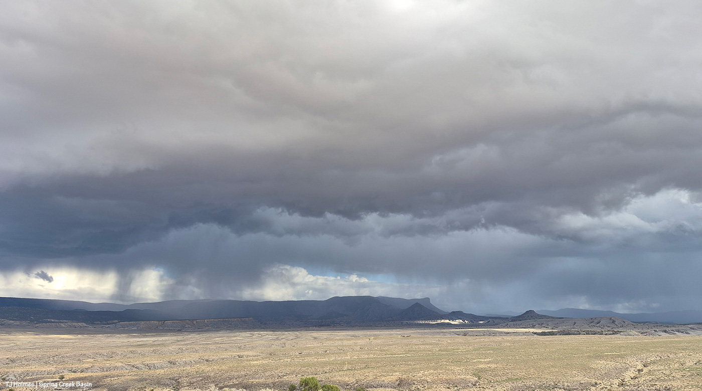
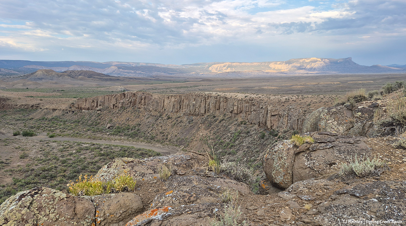
Now I’m at Chrome’s Point in the far western part of Spring Creek Basin, and rain definitely is falling within the basin’s boundaries to the east. If you zoom in on Temple Butte and McKenna Peak, below the left base of McKenna in the golden-landscape area, you’ll see the fenced-in water-catchment aprons (looks a bit like a tennis court). On the road, just left of the far side of the fence corner is where I sat to take all the photos above this one.
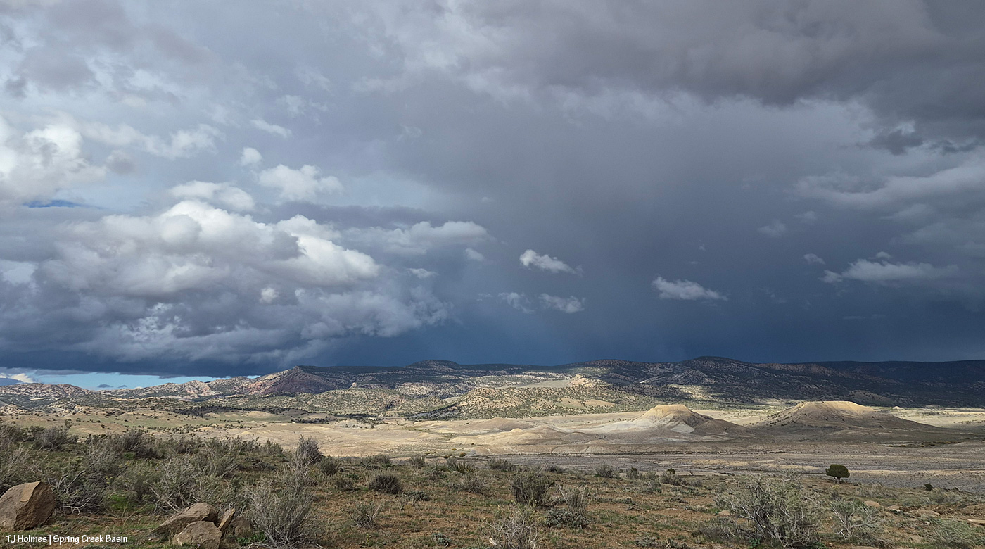
And from Chrome’s Point looking northish (leftish is almost directly northish). Can you tell that the storm was moving across our north to the west (left)? I know that if you’re not familiar with the area, it’s hard!
So I left the basin thinking “what a great show put on by Mother Nature!” And also that at least the eastern-northeastern part of the basin looked to be getting some of the good wet stuff (which was not in the forecast, by the way). …
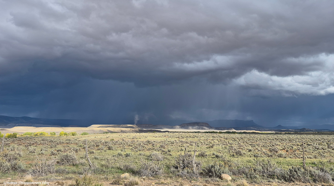
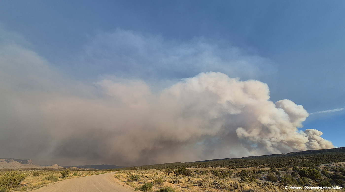
Yowza! That’s RAIN. Over SPRING CREEK BASIN! This is looking east while heading south on Disappointment Road, well west of the basin. …
Wait. What is that … ?
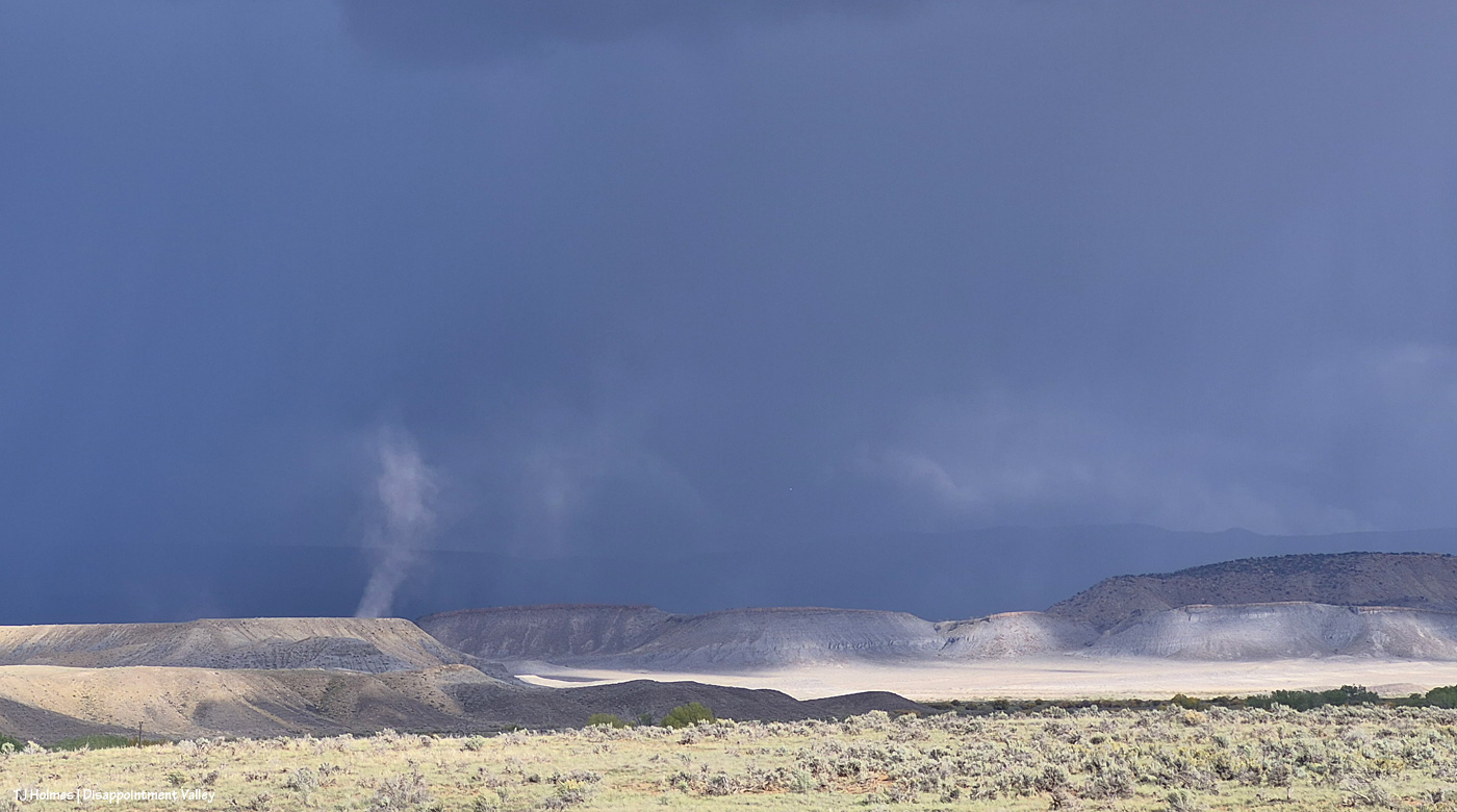
What that, you ask? THAT that!
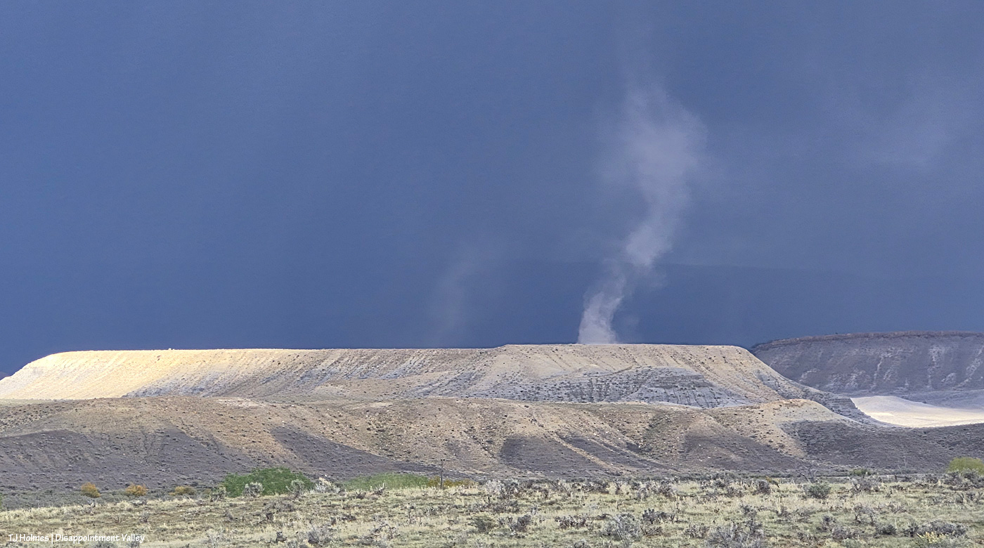
It’s a DUST DEVIL. … With pouring rain in the background! Just like the weird rain column seen earlier from inside Spring Creek Basin, this dust devil was illuminated by the sunlight hitting that part of Disappointment Valley west of Spring Creek Basin (the ridge topped by rimrock at far right is part of the basin’s western boundary). See the far-far ridgeline curtained by rain? That’s the very same northeastern ridge that meets the sky in the previous pix taken within Spring Creek Basin.
I was so wowed that I was standing in the middle of the road holding my phone up and out in the classic pose as a truck was approaching. Fortunately, it was someone who knows me and knows my photo-centricity, and he kindly did not run me over. 🙂
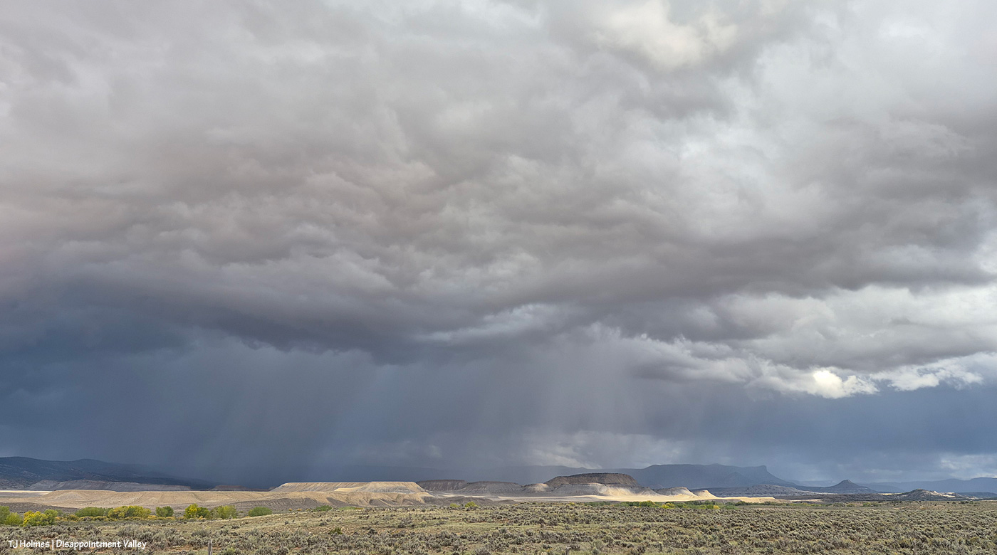
Kinda great for zilch on the rain front in the forecast, eh? 🙂 And I will tell you that the ground was still satisfyingly damp out in the basin last night (as you read this), and now we have another day or three or five (who really knows?!) of rain chances in the forecast.
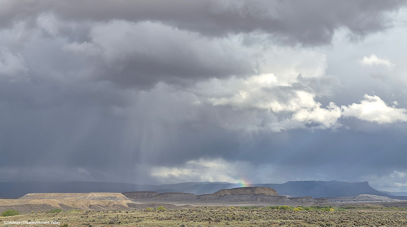
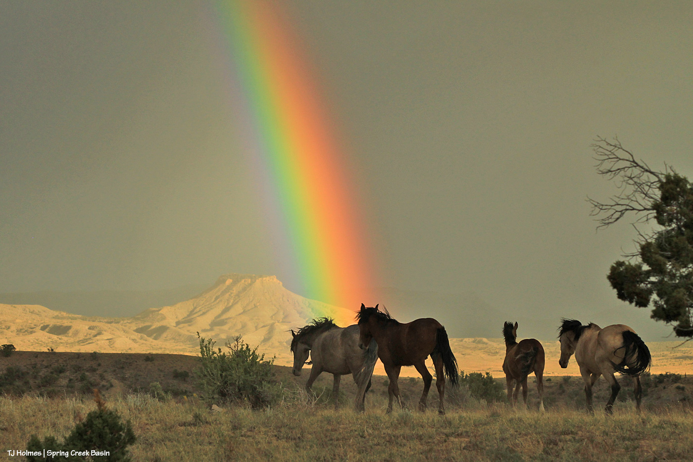
See the rainbow prism? That’s directly over Filly Peak in Spring Creek Basin.
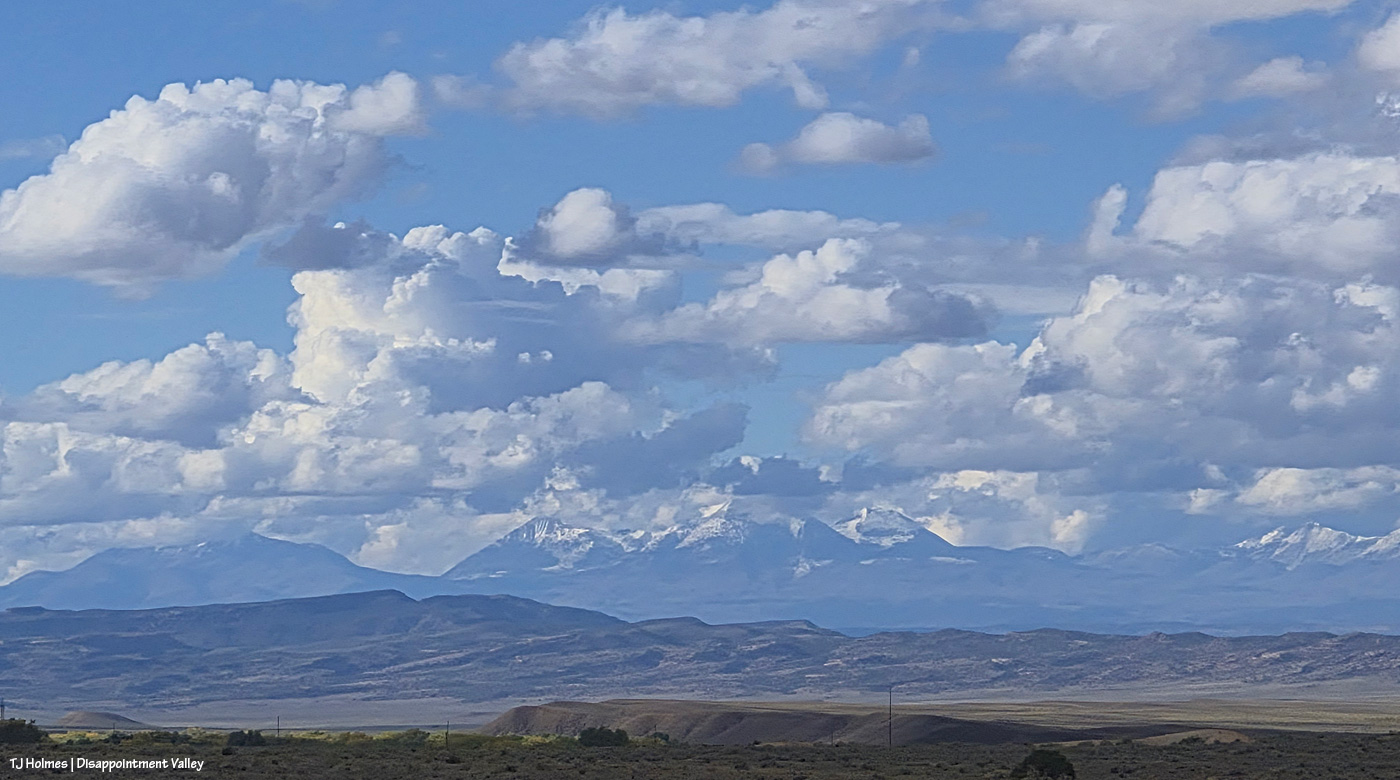
Did I mention there’s snow again on the mountains on our northwestern horizon (Utah’s La Sals)? As a point of interest, Mount Peale is the highest peak in the range at “12,721 to 12,726 feet.” Moab is on the other side.
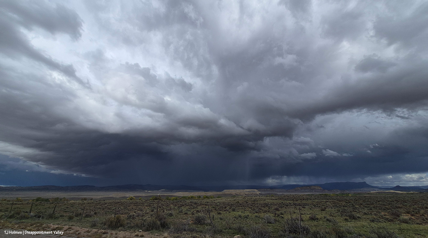
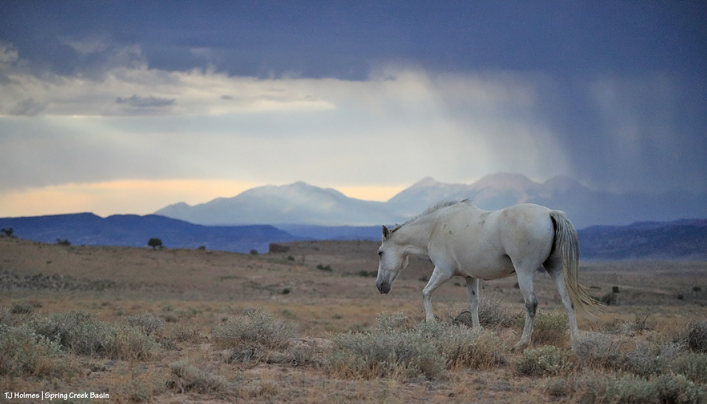
There was just about every bit of light imaginable during the time I watched the storm pass: glorious sunlight to dappled light to ominous rain-darkness. Something else interesting? I never got so much as sprinkled on, no matter where I was.
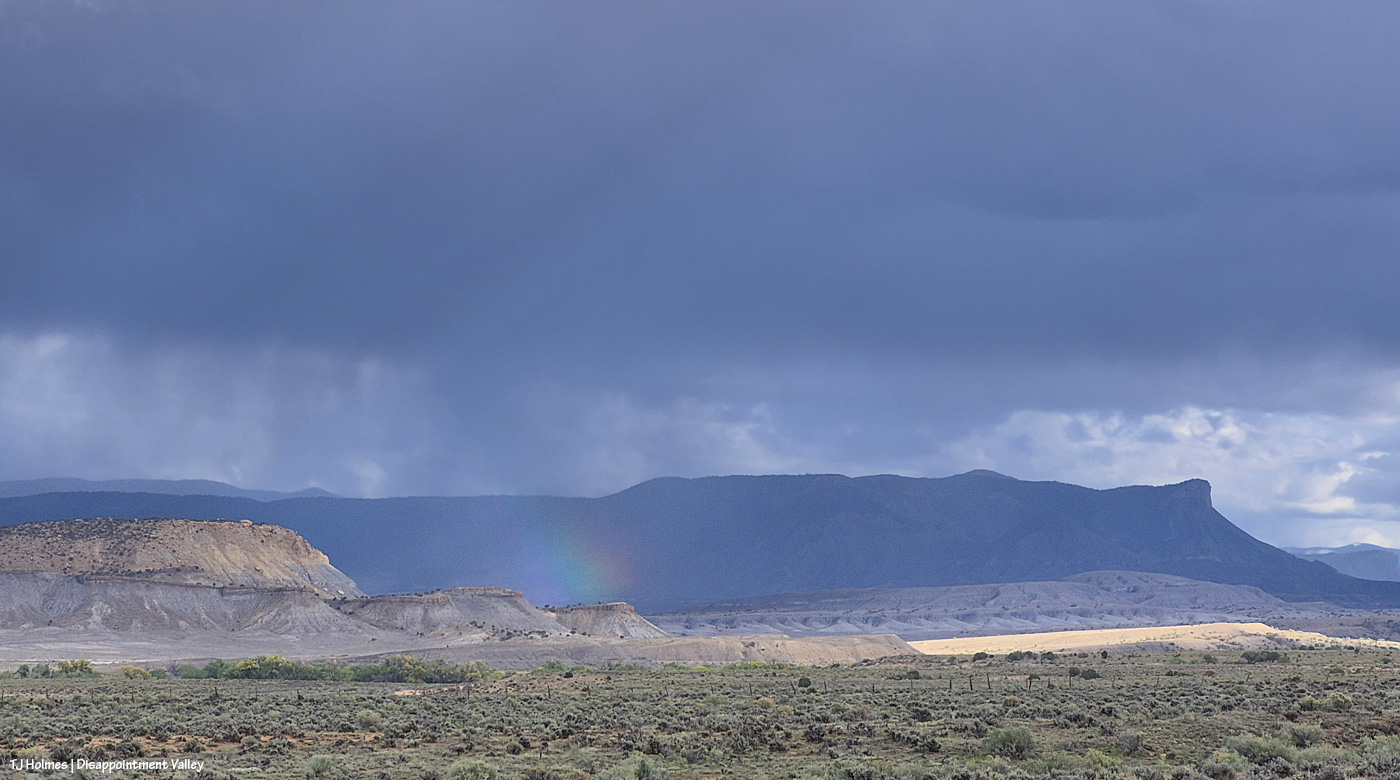
Oh yeah, and the light that produced multi-colored rainbow prisms (can you call it a rainbow if it doesn’t form a bow?). I think there were at least five, maybe six of these prisms. None formed a complete rainbow (if you can believe it), and none of them lasted very long … except this next one:
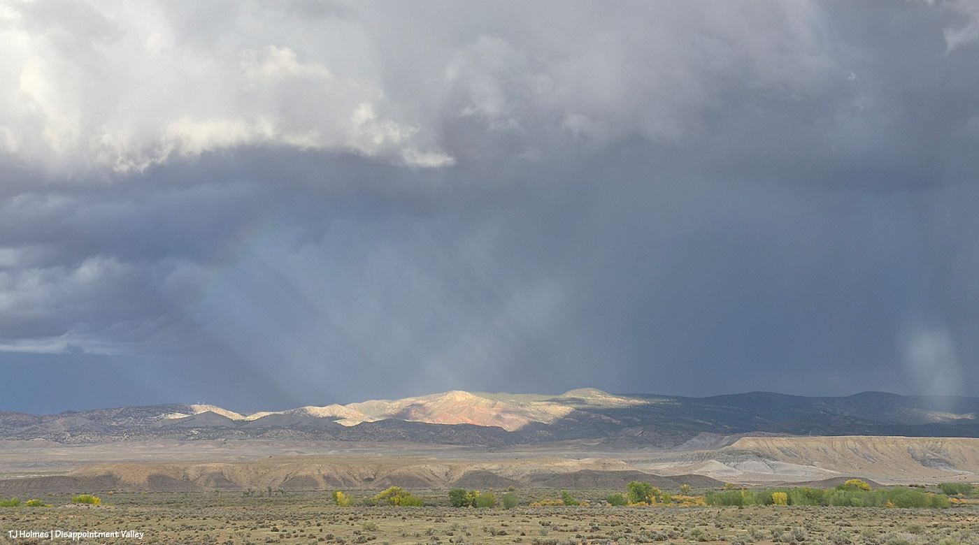
See the rainbow forming at upper left? (And check out that spotlight at farthest right!) Unfortunately, the prism was faint while the spotlight was on Buck Knob and its vibrant redrock layers, but, um, WOW.
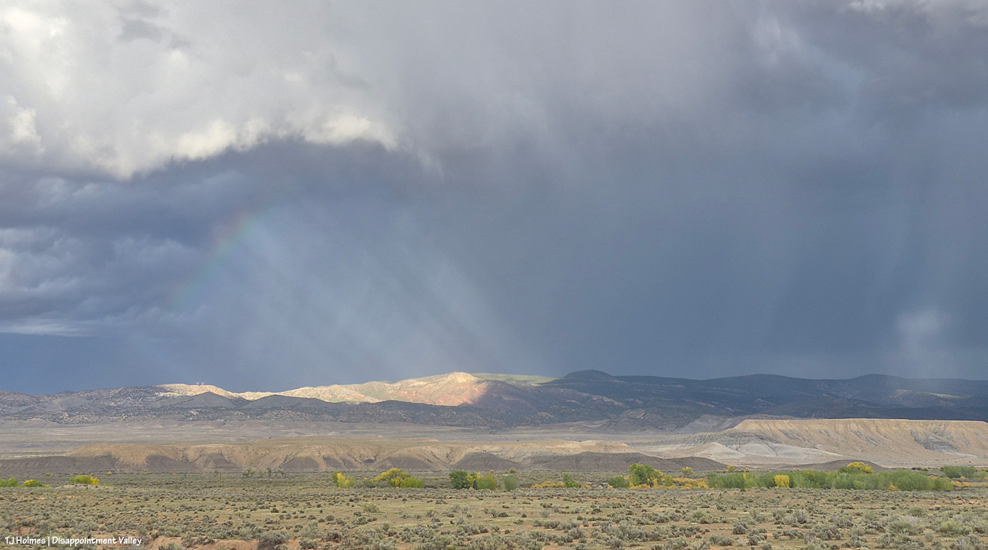
It’s getting a little more visible …
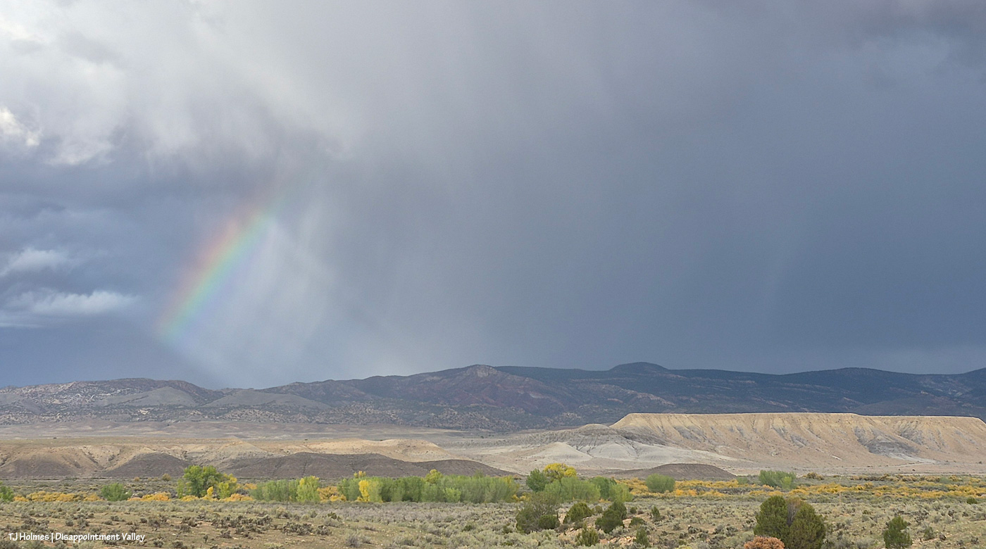
The. Light. Was. Phenomenal.
The cottonwoods along the bottom of this pic line Disappointment Creek. Spring Creek is farther north, running out of Spring Creek Basin, which is to the right/east. They both run westish; Spring Creek runs into Disappointment Creek, and, eventually, FARTHER west, Disappointment Creek carries all its salt and sediment into the Dolores River. This view is looking purty near north. The shorter, yellow-y-er (that’s a word, creatively speaking) vegetation is willow and maybe some rabbitbrush/chamisa, too. The cottonwoods at this elevation are just starting to go gold.
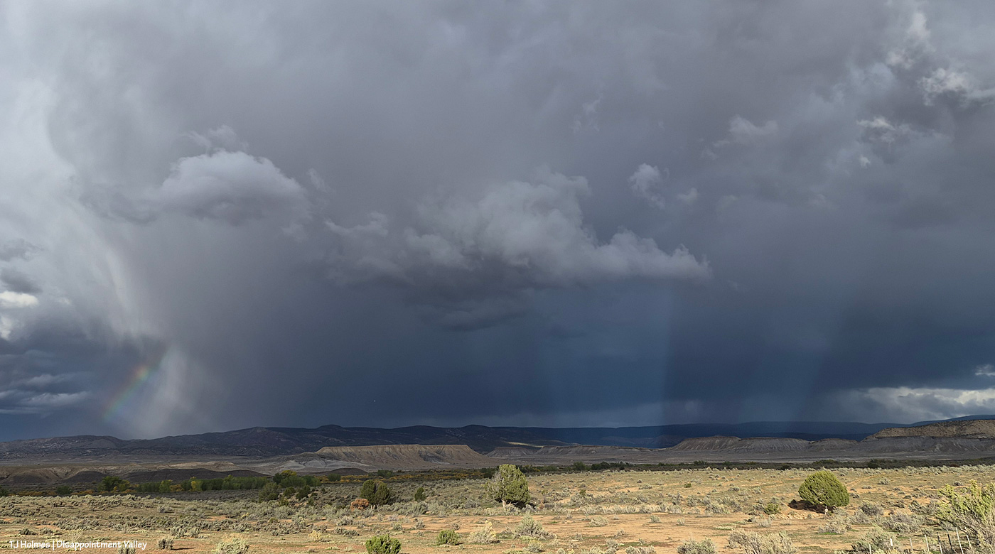
Do you start to see why there are so many pix in this post?! The light KEPT CHANGING. What the heck are those beams right of center?! I never did figure it out.
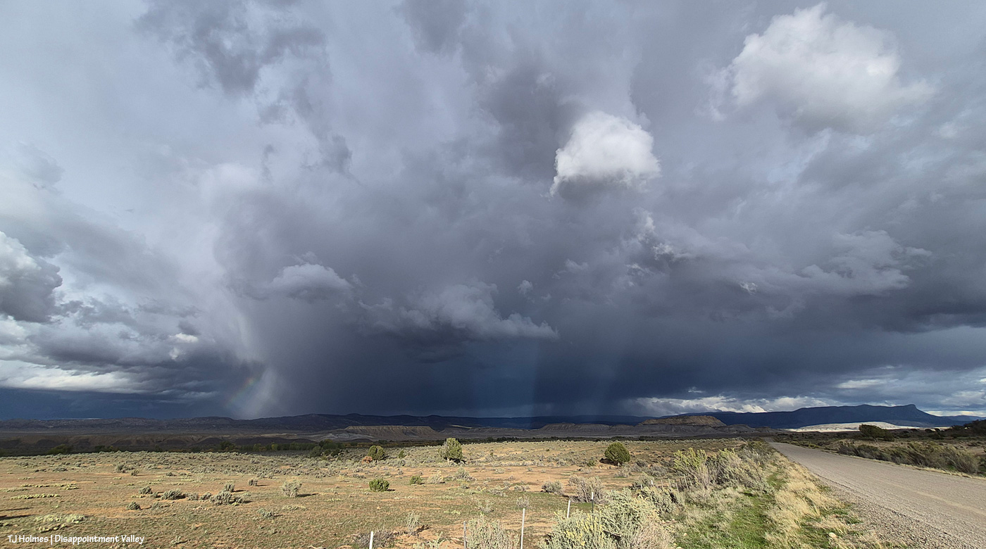
Wide-wide view for perspective. The road runs straight east here.
And on I went up-valley (to the southeast). I mean, who knew what else Mother Nature had in store?
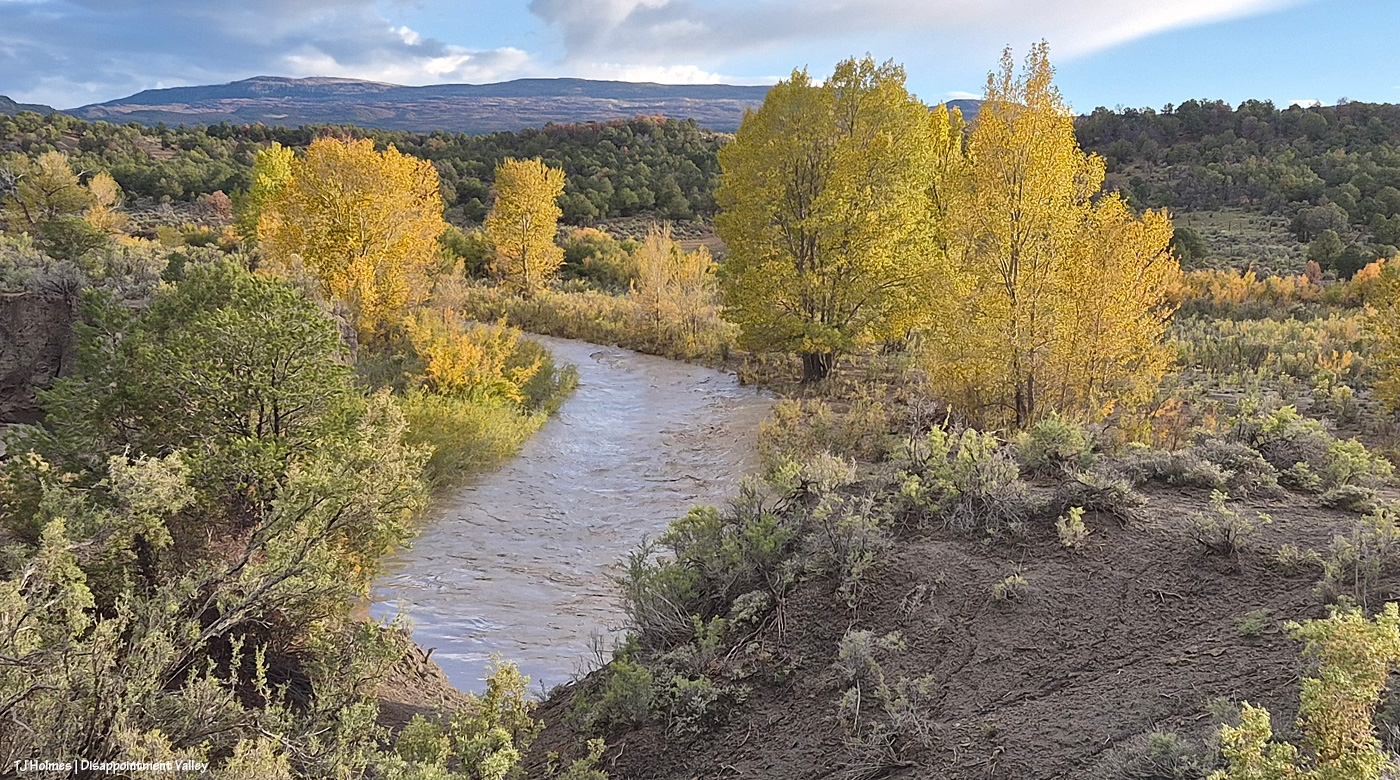
Disappointment Creek. Picture NO water here, and that’s what it usually looks like. This was when I first realized how heavy the rain must have been that I’d seen earlier … remember the very first pix at the top of this post? Spring Creek Basin is across the road (that I’m on) to the left.
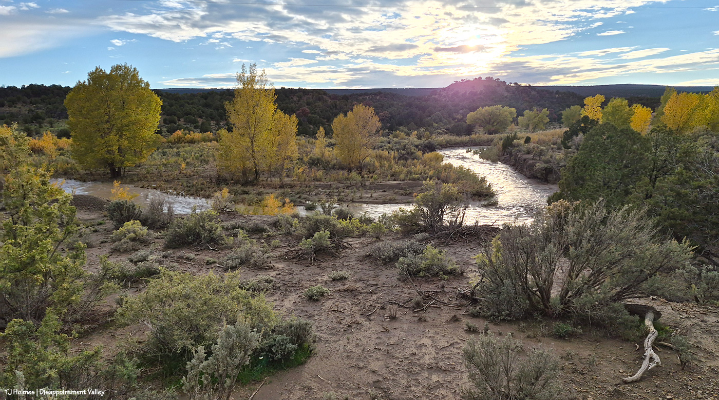
It’s really hard to understand how this is such an astounding view if you don’t know what it usually looks like, but for one thing, there are usually giant rocks visible in the creek bed there.
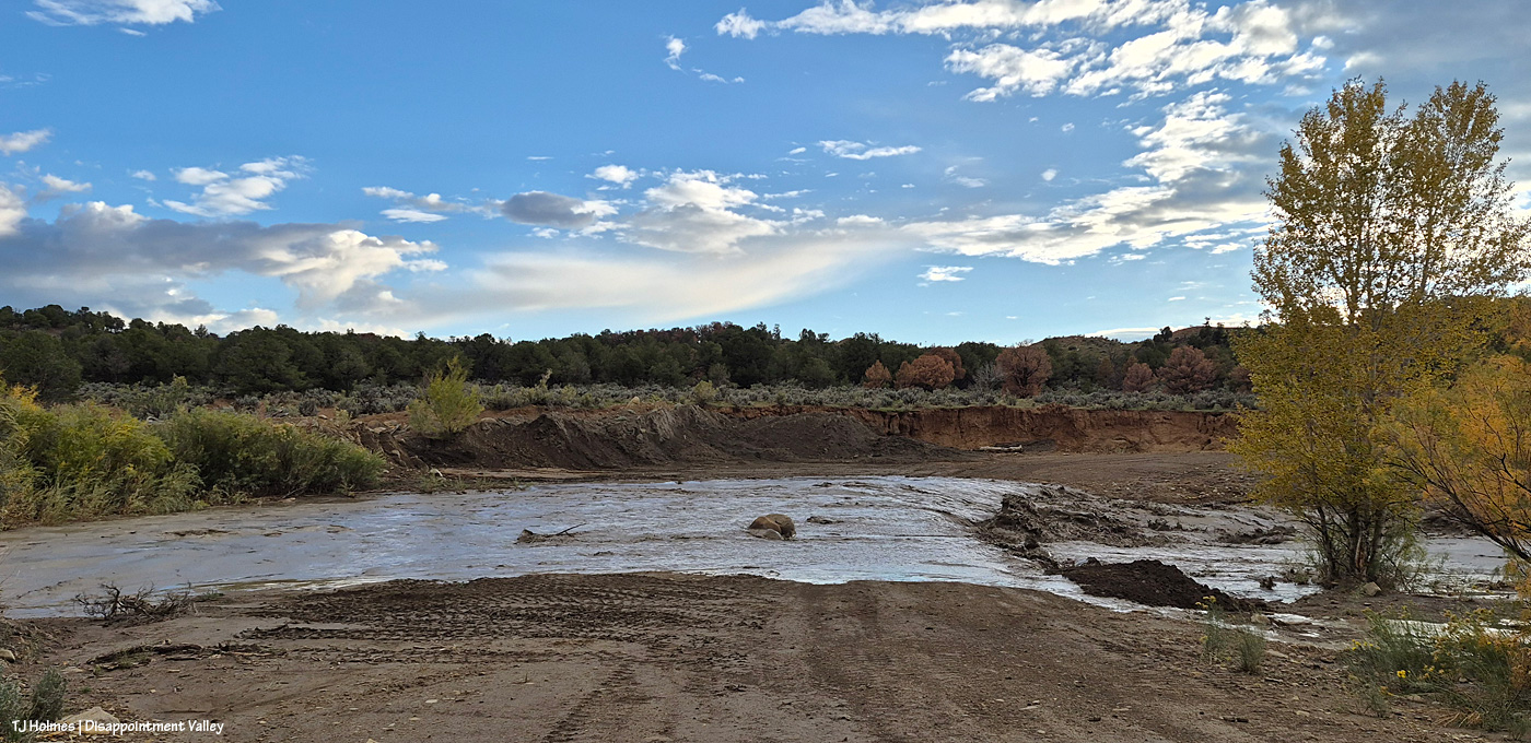
This is Black Snag Road; Disappointment Road is about 100 yards behind me. … Actually, this is Disappointment Creek – err, river – making fun of the idea of there being a road under that rollin’ water (let alone a culvert … ha ha ha!?). This is where I wish I was adept at video and/or even knowing how to insert it. Because the sheer volume of NOISE (let alone water) was INCREDIBLE. Larry W. is the Dolores County road guy for this part of Disappointment Road; I couldn’t help but think of him while I watched this; it will fall to him to fix this … eventually.
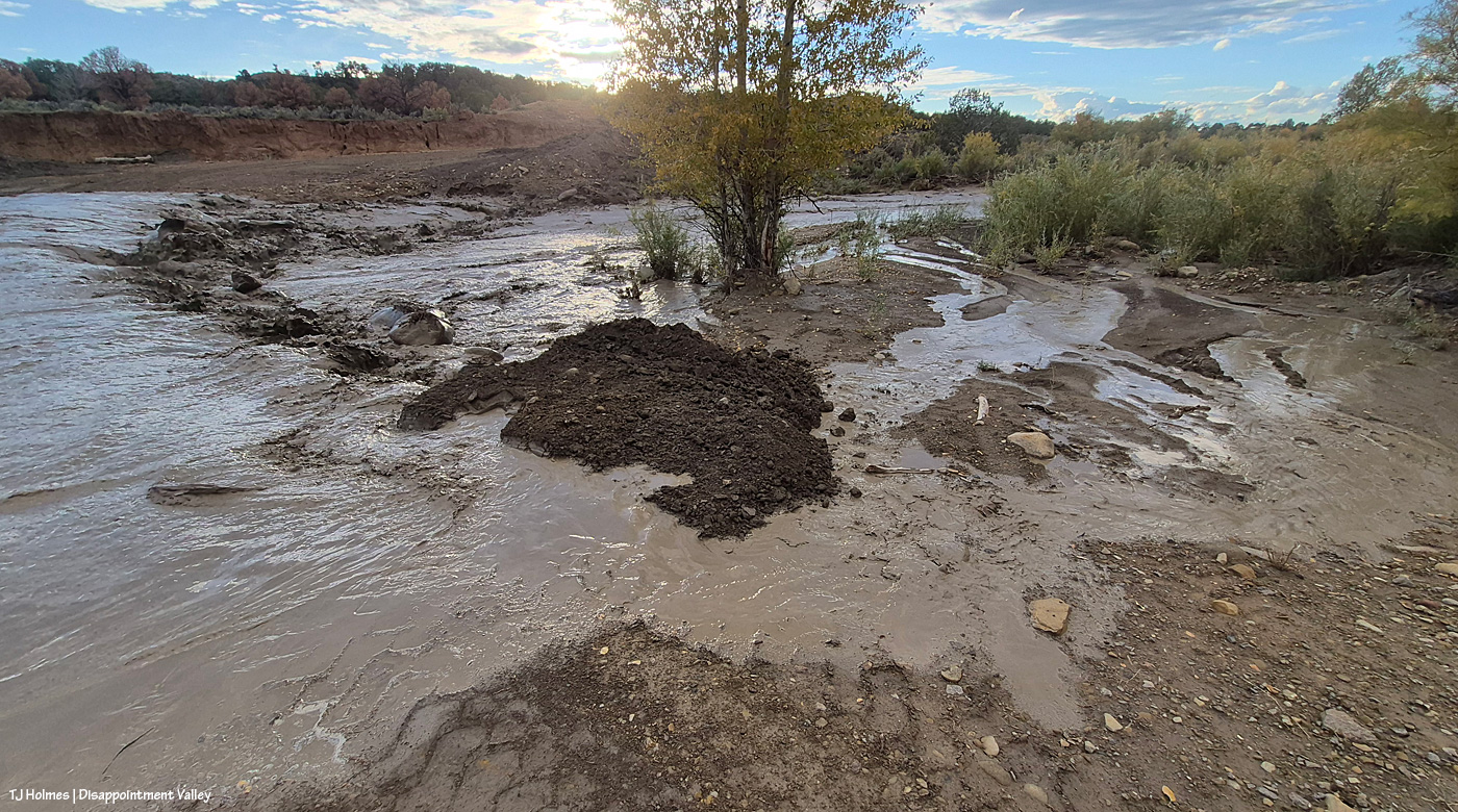
That pile of dark dirt is sort of the edge of … well … where the water shouldn’t have gone around?! Seriously, do not mess with Mother Nature. She makes her own paths.
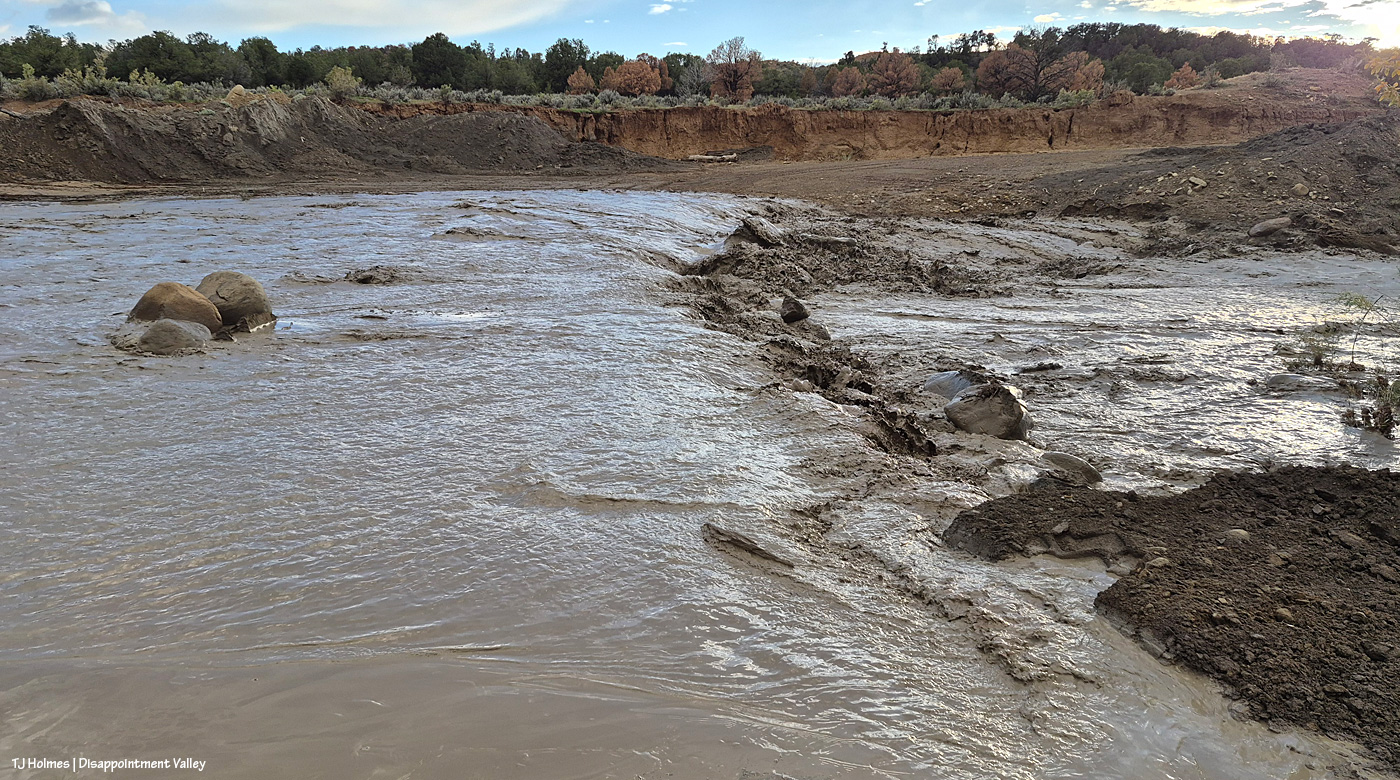
I’m not entirely sure where those rocks would have come from. I hadn’t been down to look at the crossing for quite a while until this moment, but the road is sort of … there.
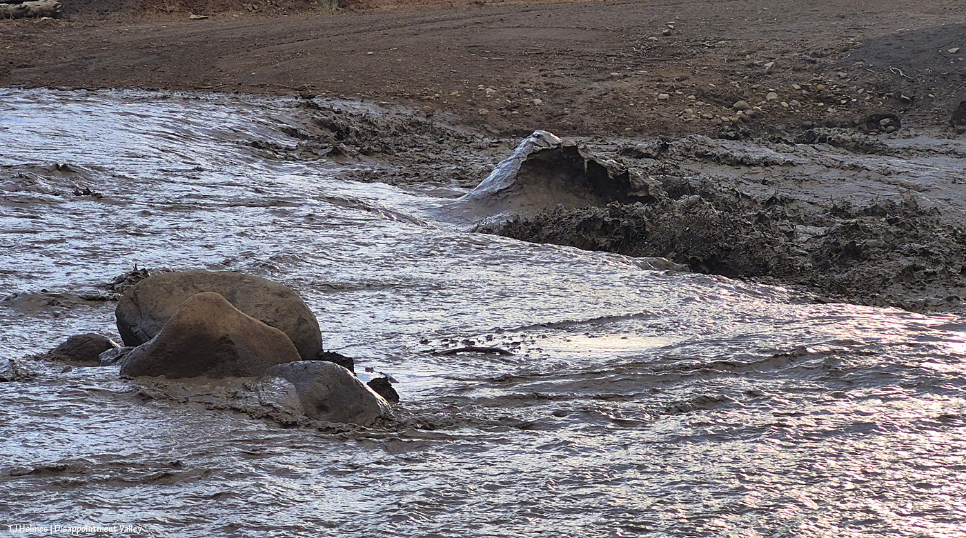
It was hard to take a still pic that conveyed the noise and just sheer quantity of water rolling through the *ahem* creek bed. You see the rocks … and up to the right is a WAVE of mud-water. I think the culvert is sort of in that area? And/or rocks meant to stabilize it and the edge of the road.
Disappointment River. 🙂 Seriously.
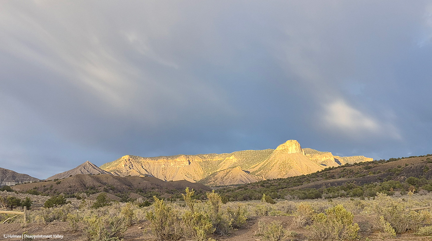
Meanwhile, this was happening behind me (as I looked at the river, err, creek crossing); looking in this direction, the creek is behind me. Disappointment Road runs across the base of the pic; down-valley (northwestish) is left, and up-valley (southeastish) is right. The fence along the road – the boundary of Spring Creek Basin – is visible at left and right. The foreground is part of Spring Creek Basin Herd Management Area, but Temple Butte – lit up at right – is outside the basin, as is McKenna Peak, the tip and eroded slopes of which are visible at left.
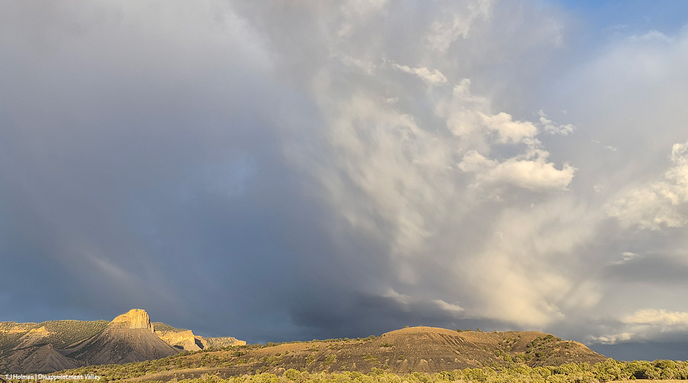
Nope, it was not over!

Disappointment Creek flowing downstream from just upstream of the Black Snag Road crossing.
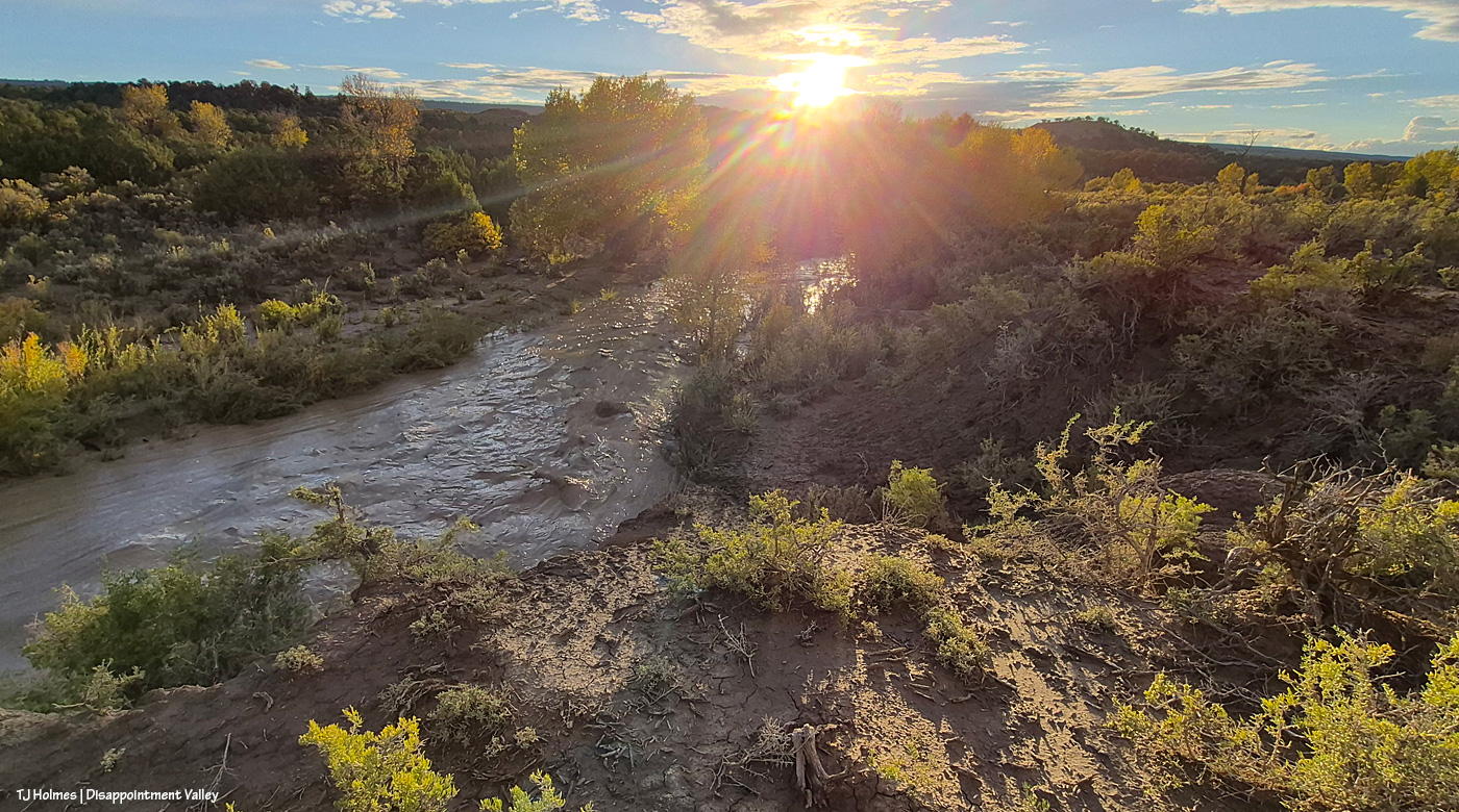
It was *this* close to sunset. 🙂
Mother Nature wasn’t close to done for the day.
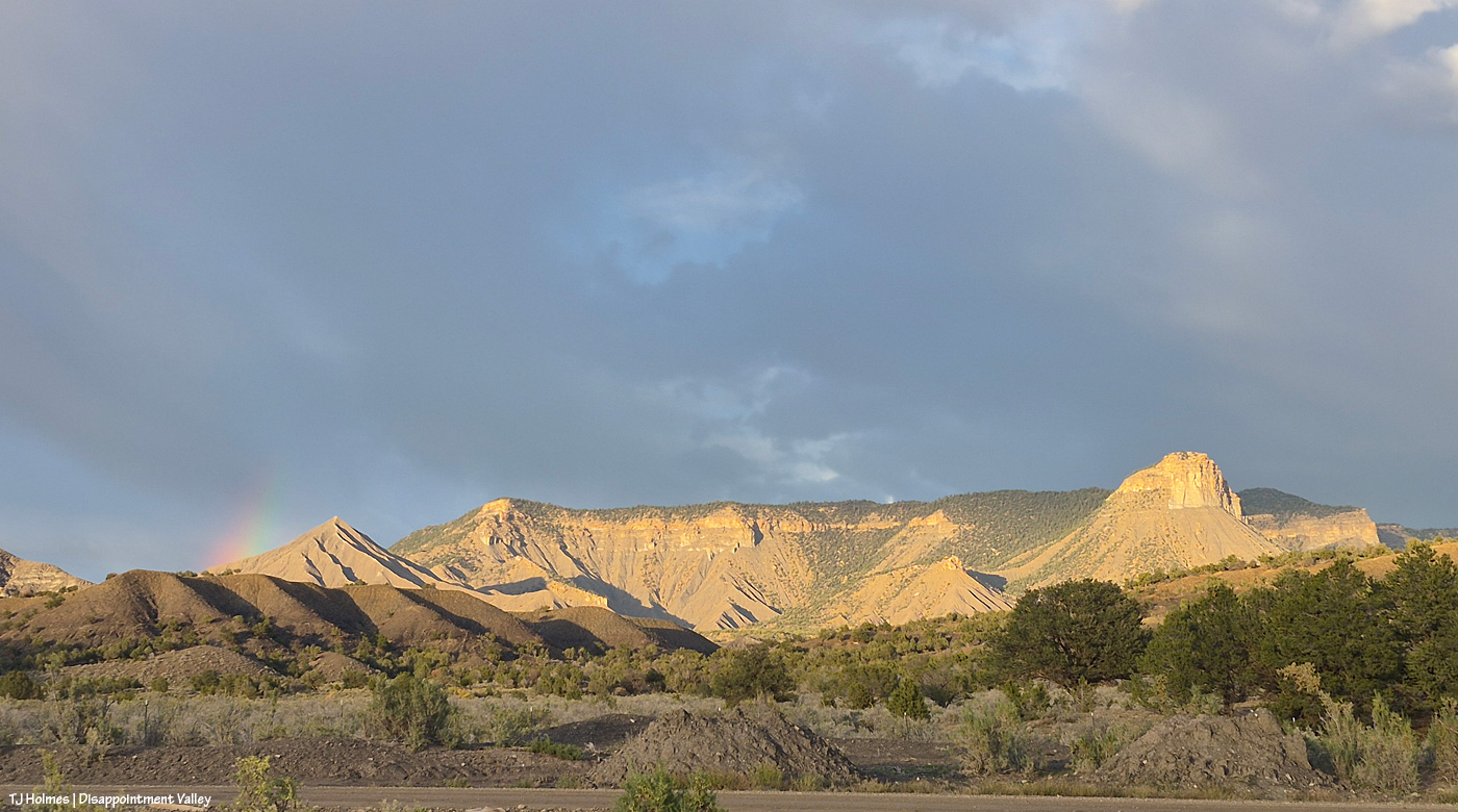
I mean … can you die of absolute, heart-bursting joy at the gorgeousity of the world?! Hopefully not; too much yet to see. I hope you’ve stuck with me. … Really, it gets BETTER.
Are you sitting down? You might want to sit down.
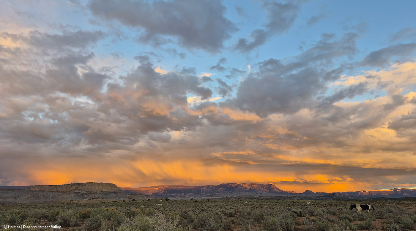
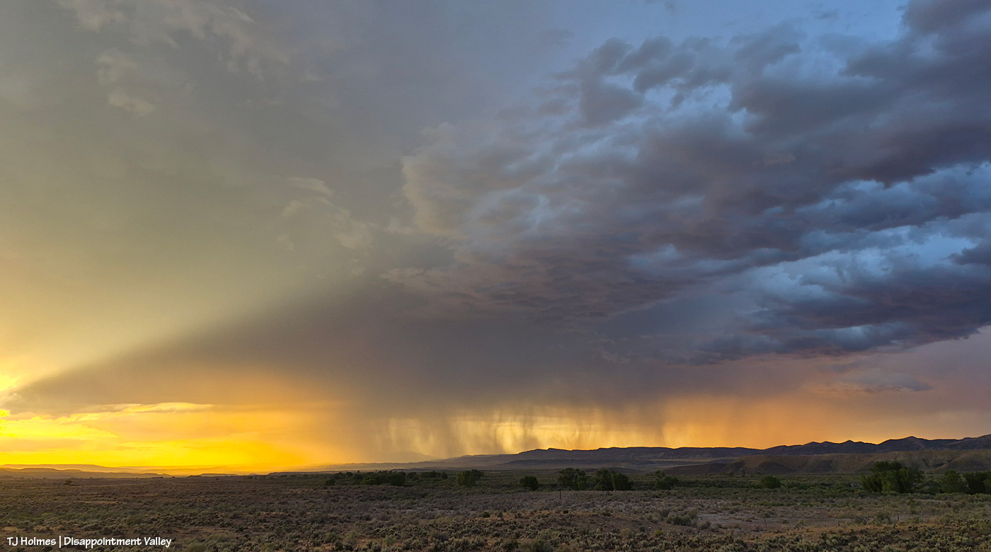
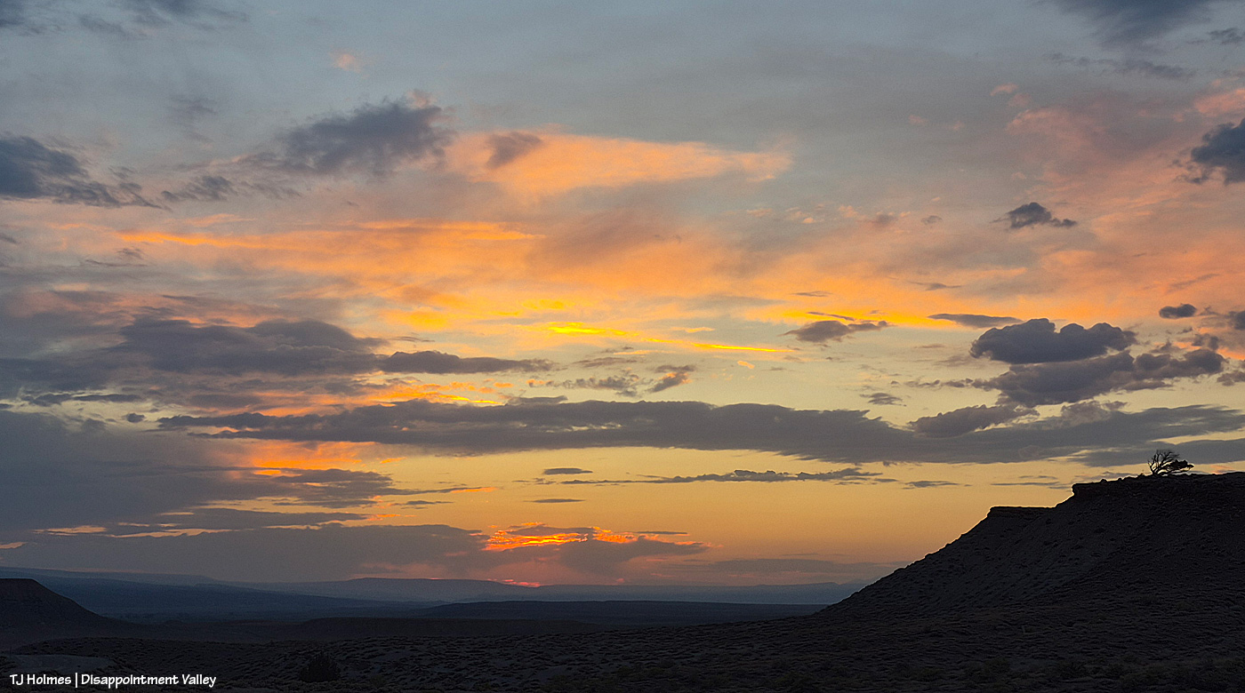
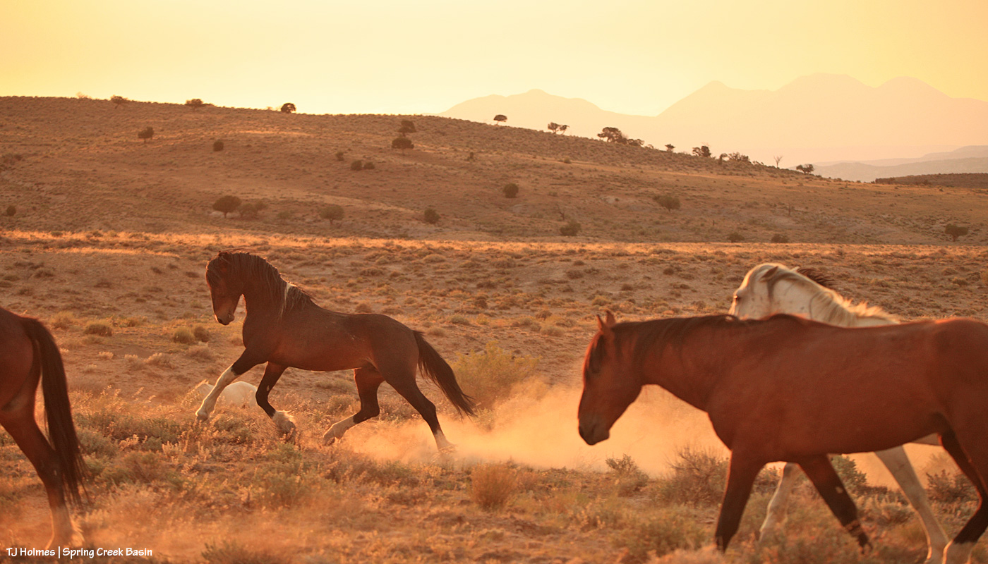
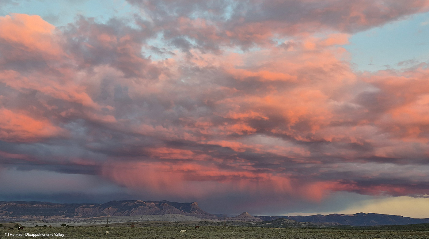
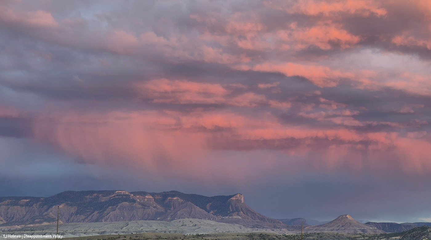
As I went back down-valley, THAT was happening behind me. Ahead of me (behind me as I take these pix), to the west, the clouds were nearly gone, the sky nearly clear again. The color was all back to the east. (Note: These horses are not in Spring Creek Basin. I’ve never crossed over here, but this sunset was too amazing not to share, and this is where I was when I saw it.)
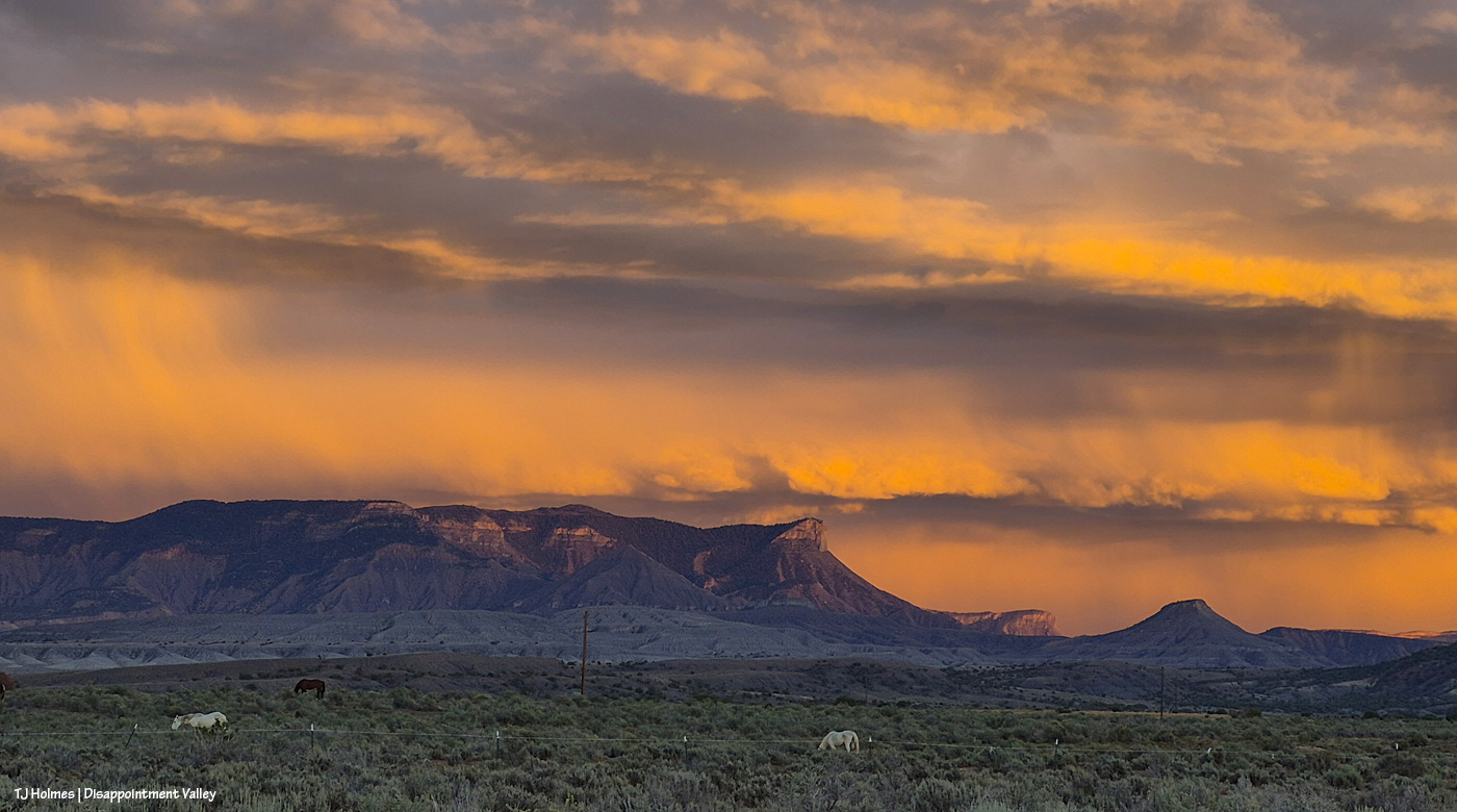
My jaw might have been on the ground. I hope you find these colors and cloud shapes impressive. … The pix don’t really do it justice; it was one of the top most spectacular sunsets I’ve seen in my life.
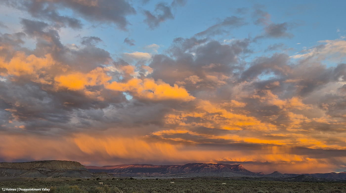
I might finally have run out of words.
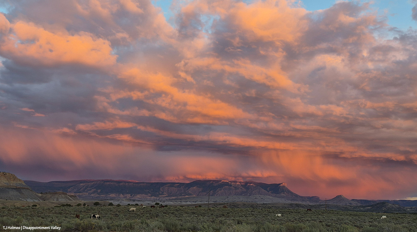
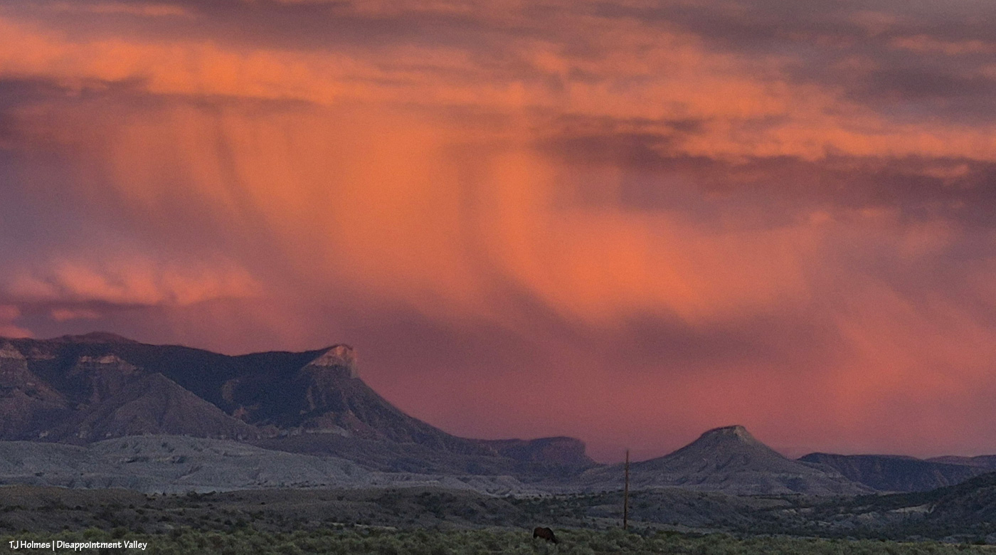
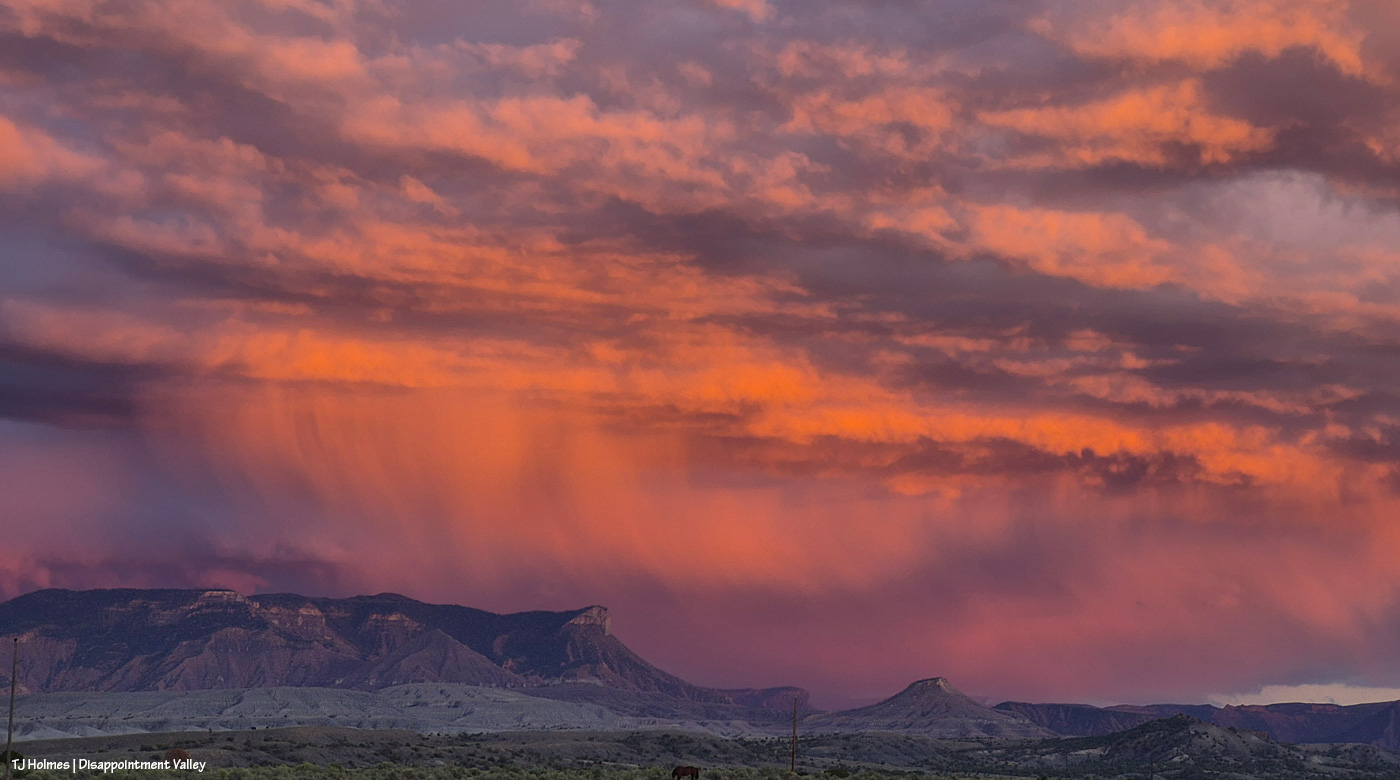
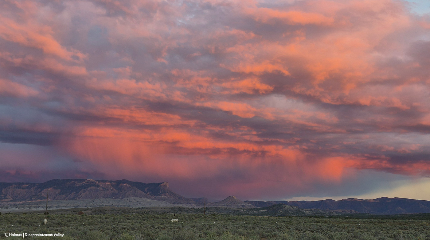
Was it worth it? 🙂
WHAT. A. DAY!!!!!!!!!!!!!!!!!!!!!!!!!!!!!!!!
Mama Nature, I never cease to be amazed. Keep on rockin’, Lady.
Thanks for coming along. 🙂