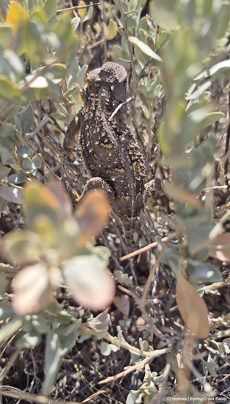
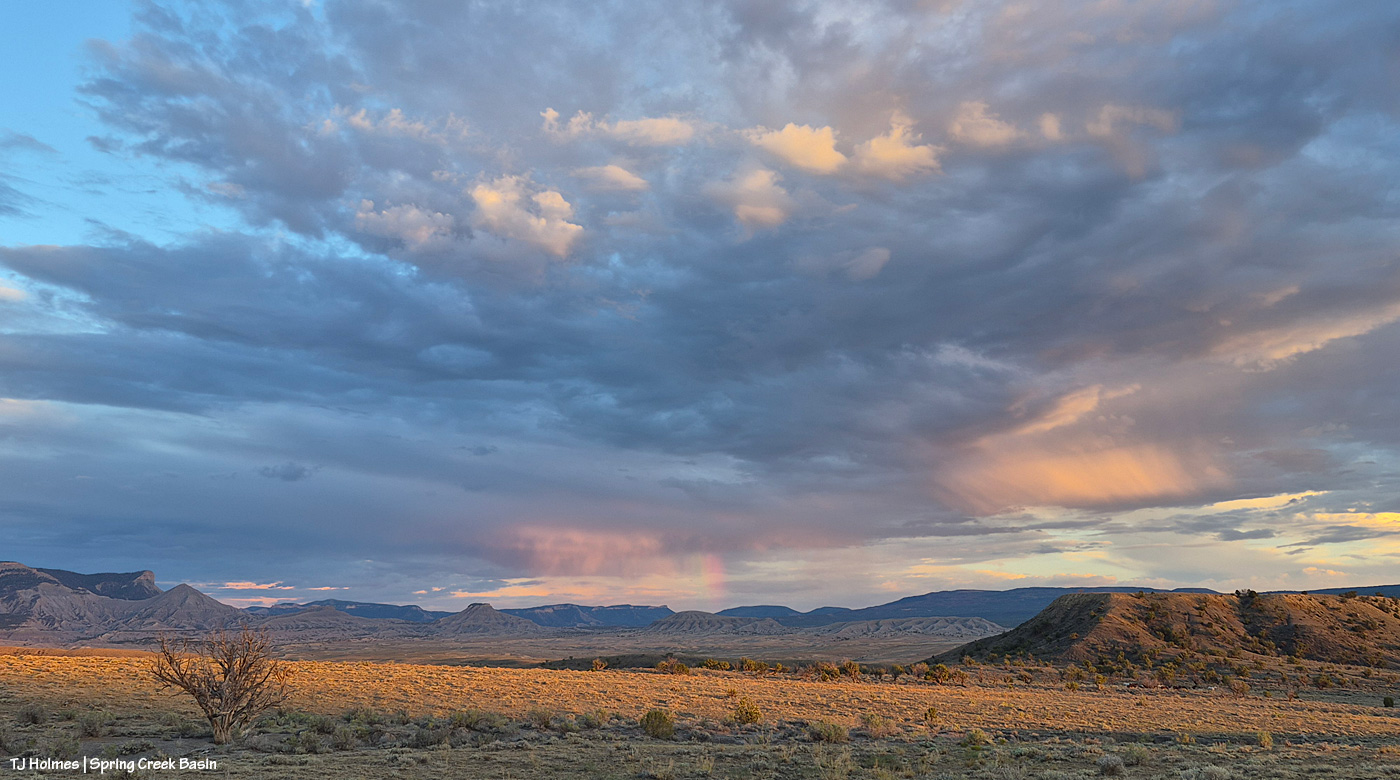
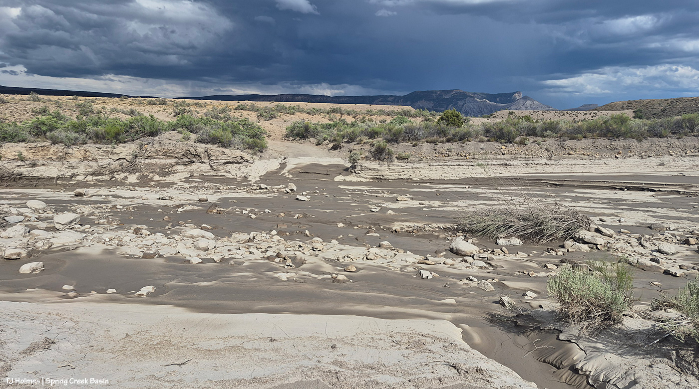
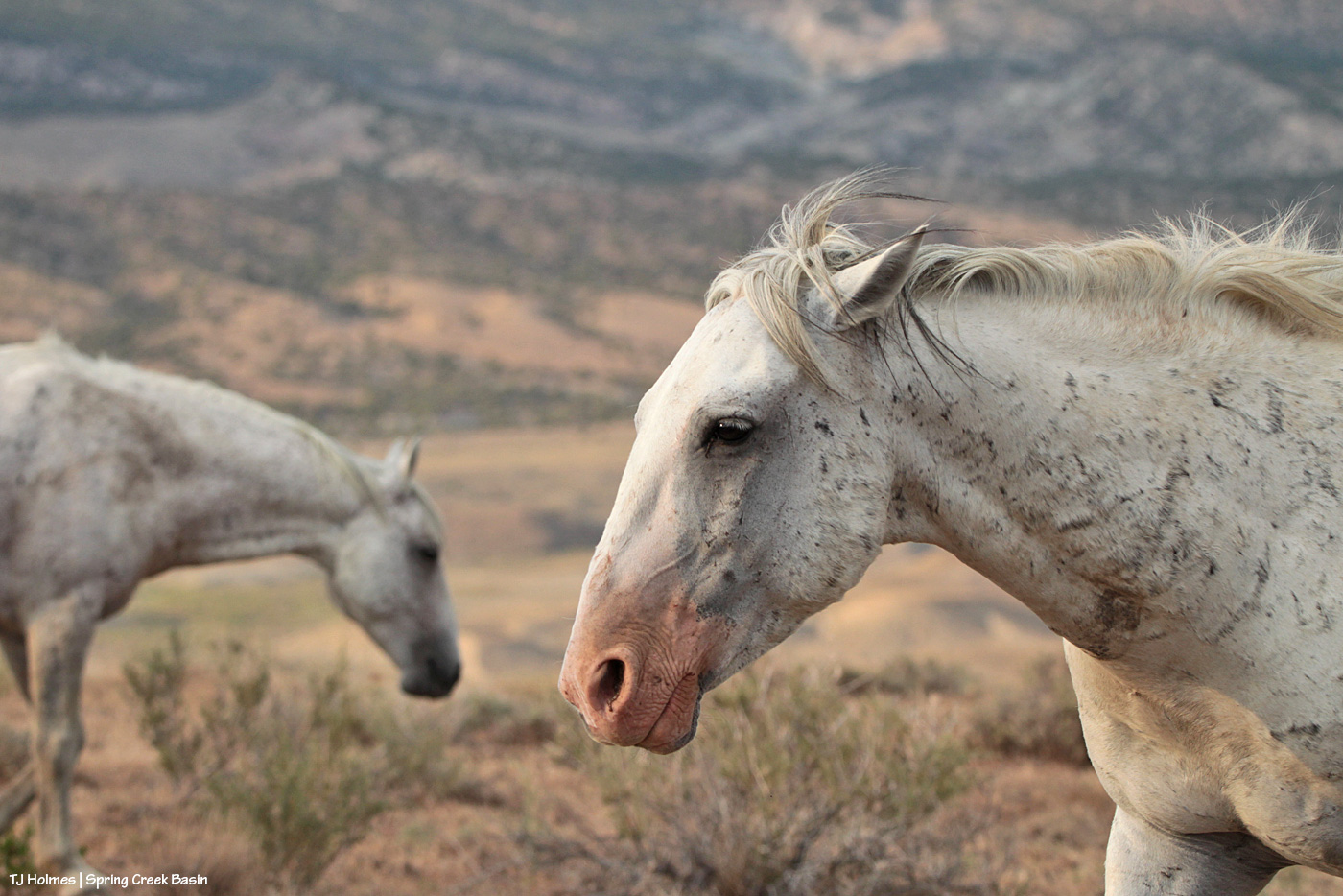
While the Ferris Fire is, for all intents and purposes, out, and mop-up teams and a Burned Area Emergency Response Team (including one of our own BLM’ers and the U.S. Forest Service wife of one of our previous BLM’ers) are continuing and starting their work in the area, our area (most of the drought-stricken West) is still prone to wildfires.
This article details “an ‘absolutely insane’ six weeks at the Durango Airtanker Base that supports firefighting efforts across the West,” to give you an idea of all the things that go into fighting fires from the air.
This article gives some insight into the terrible conditions that resulted in the deaths of Emily Barker, Nick Hutcherson, Sydney Watson and, most recently, Nathan Matthews while fighting the Gore and Knowles fires that merged into the Snyder Fire on the Utah/Colorado border.
Annnndddd, Friday, the Cross Canyon Fire started in far southwestern Dolores County. Watch Duty showed it at 140 acres as of Saturday and indicated that, with immediate attack, firefighters – including from Dove Creek Volunteer Fire Department members, who’d been on it from the start – it was expected to be out by late Saturday.
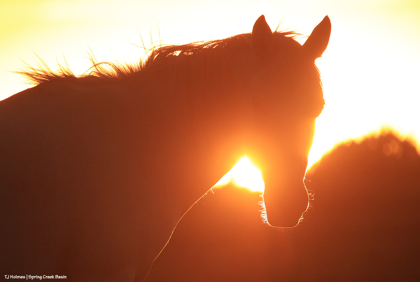
Stay vigilant, folks. The fire danger is not anywhere close to over.