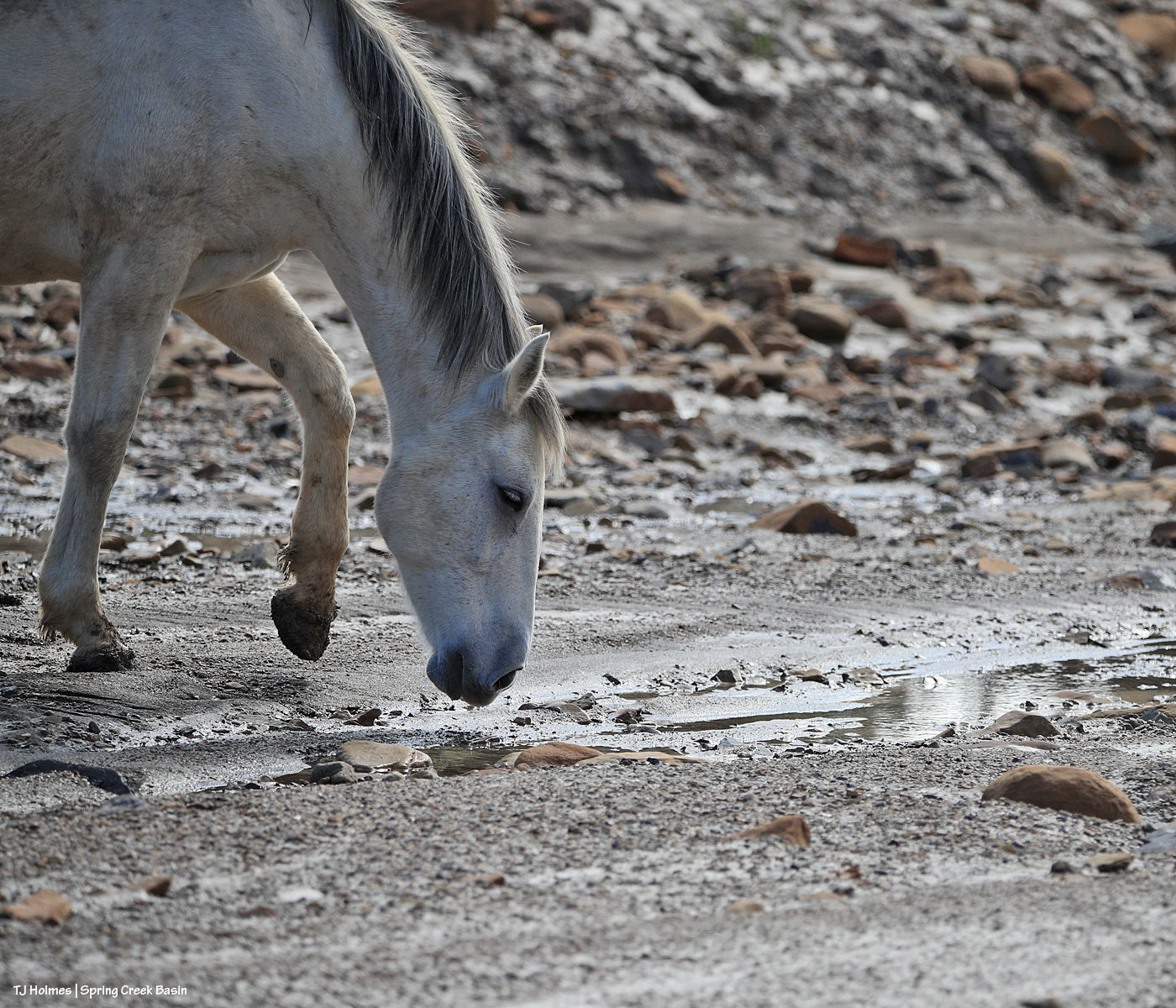
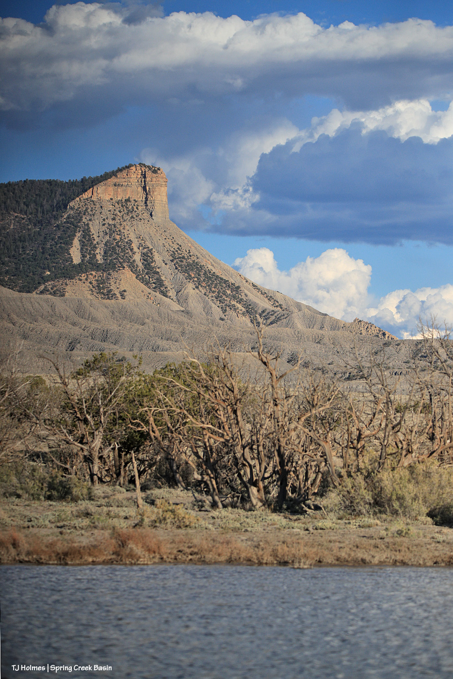
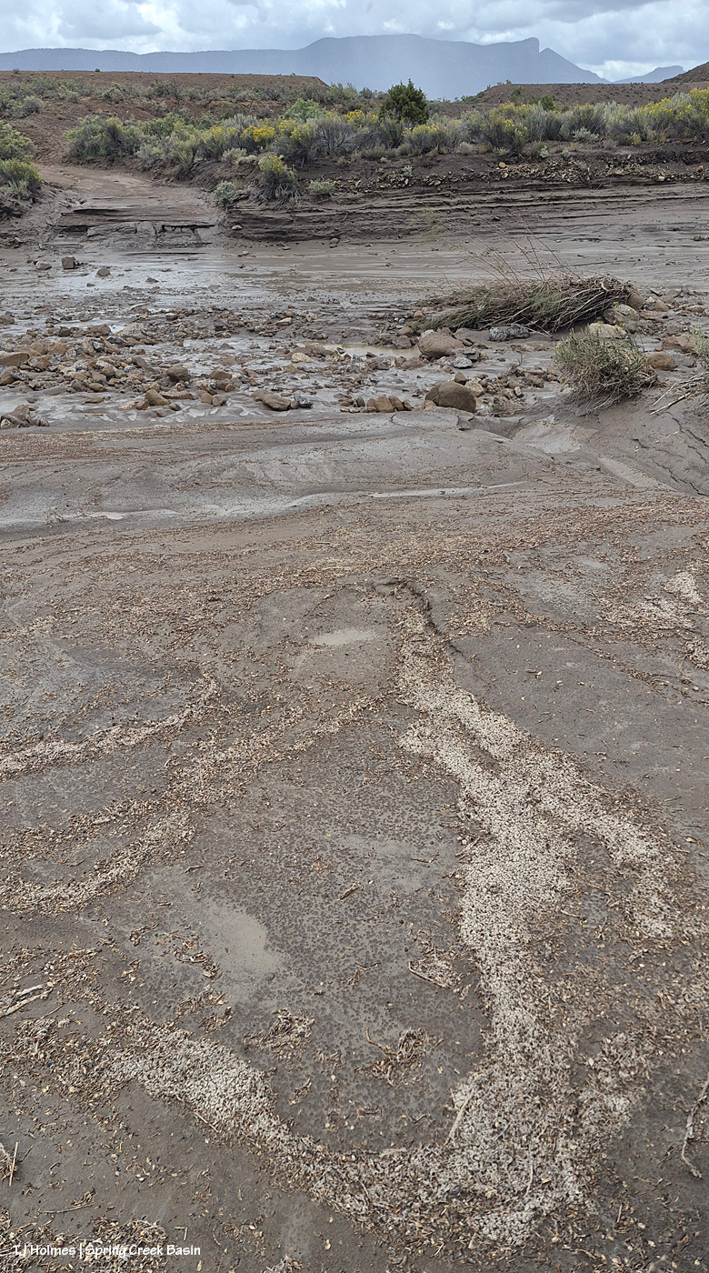
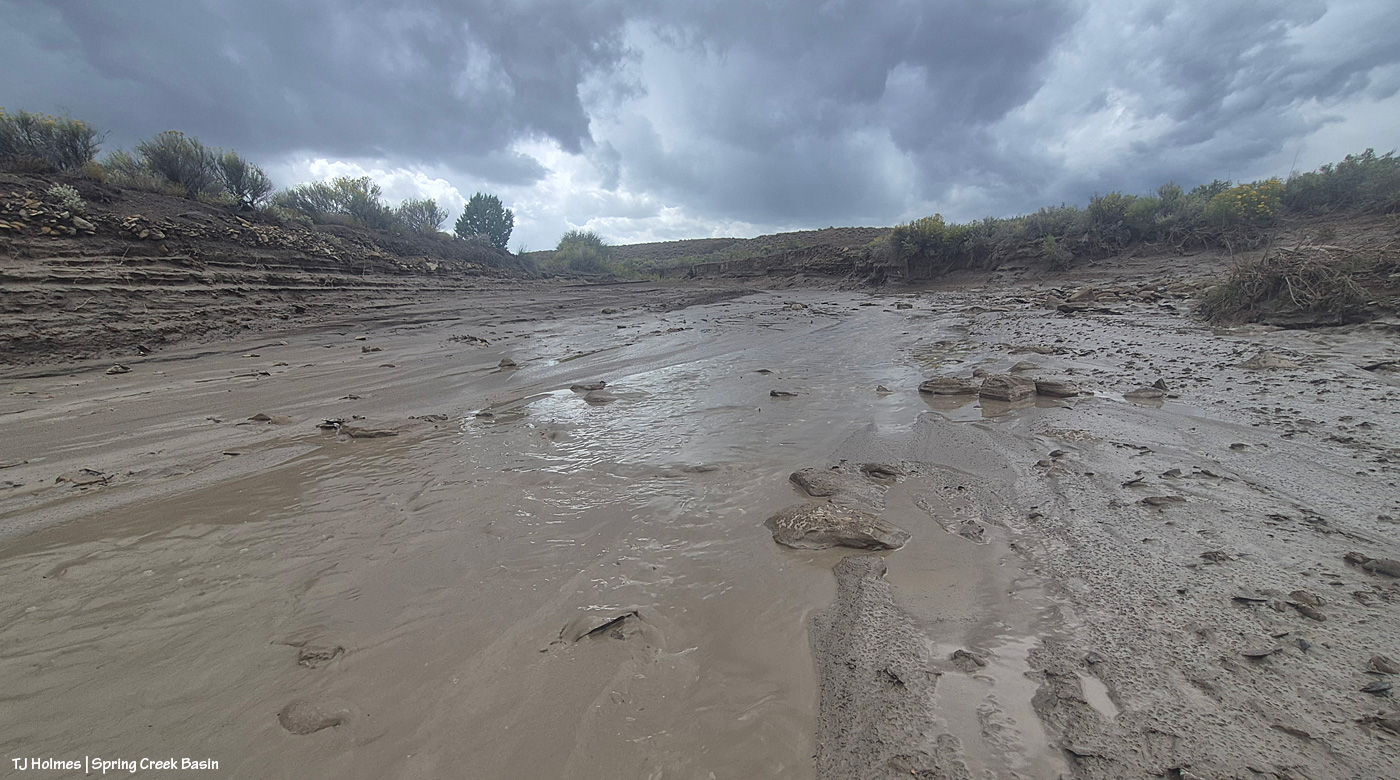
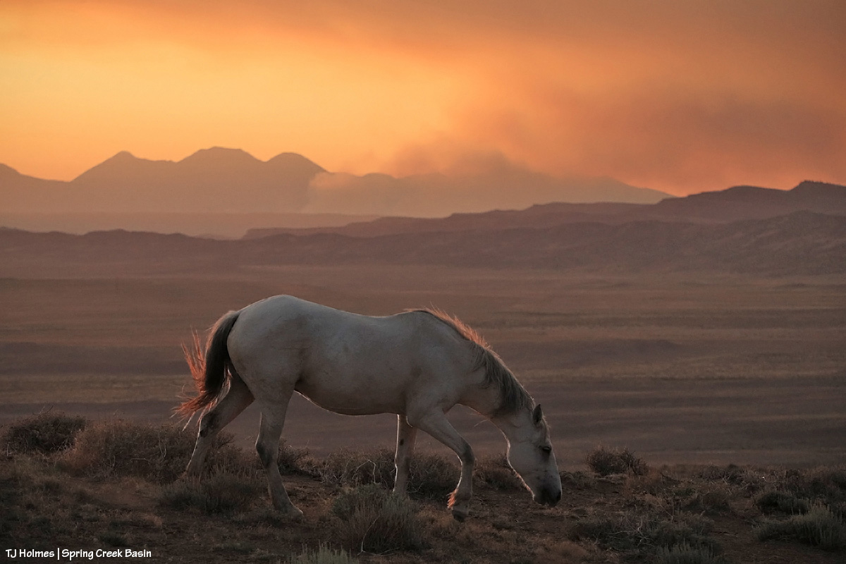
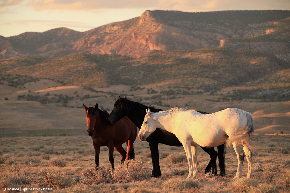
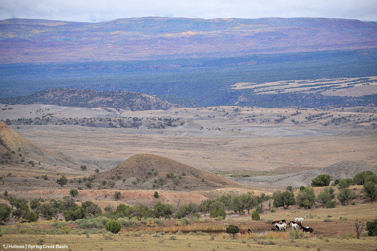
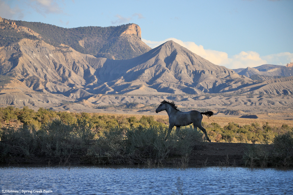
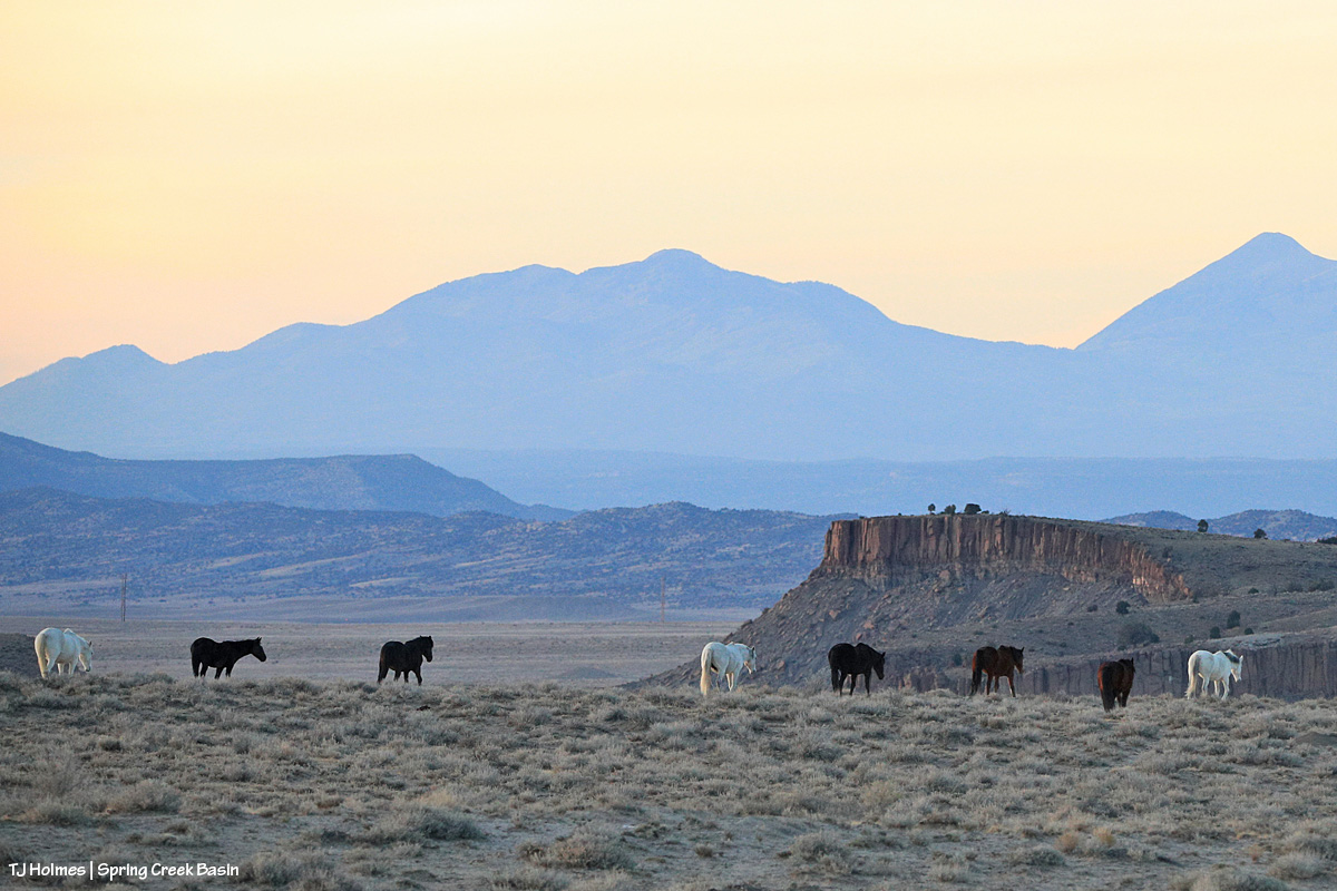
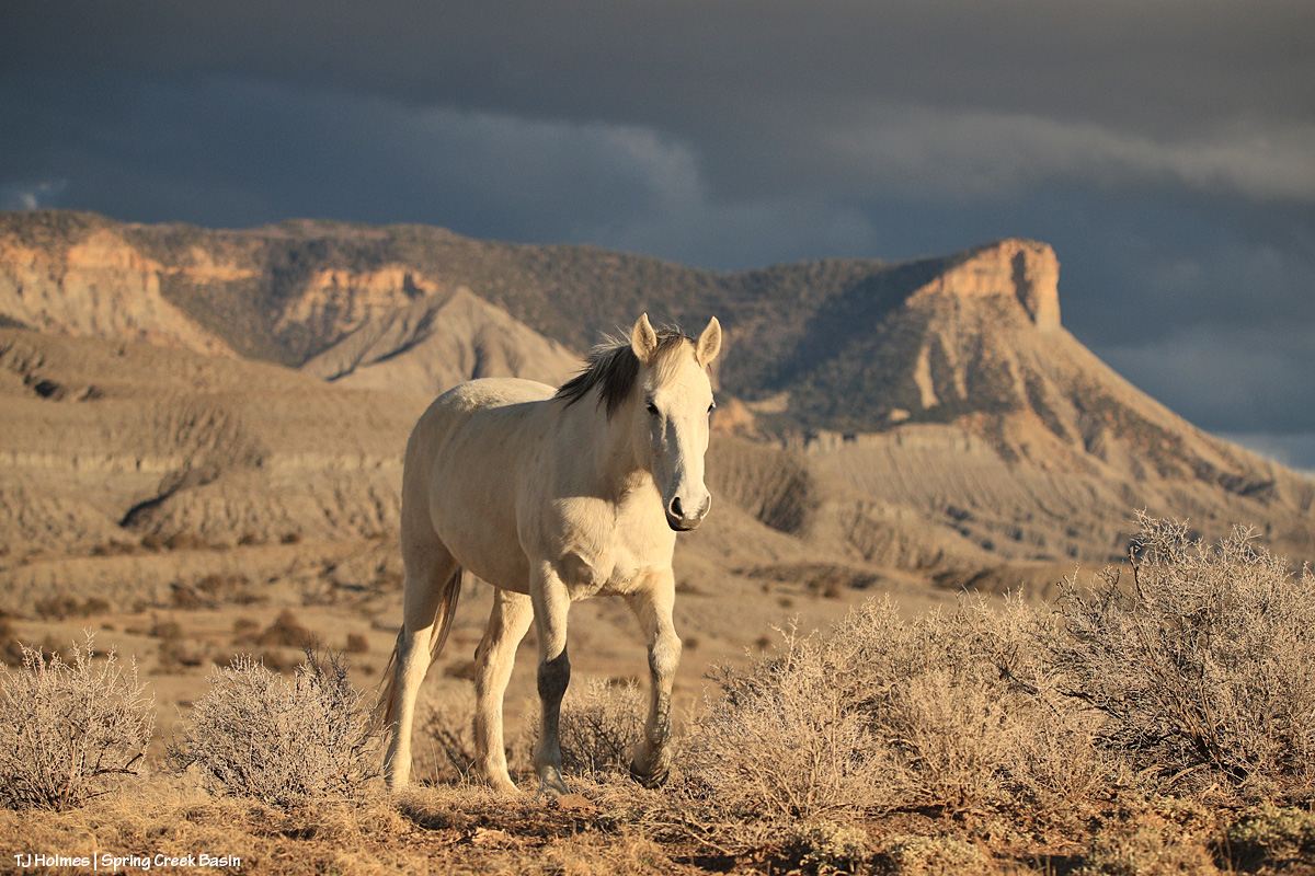
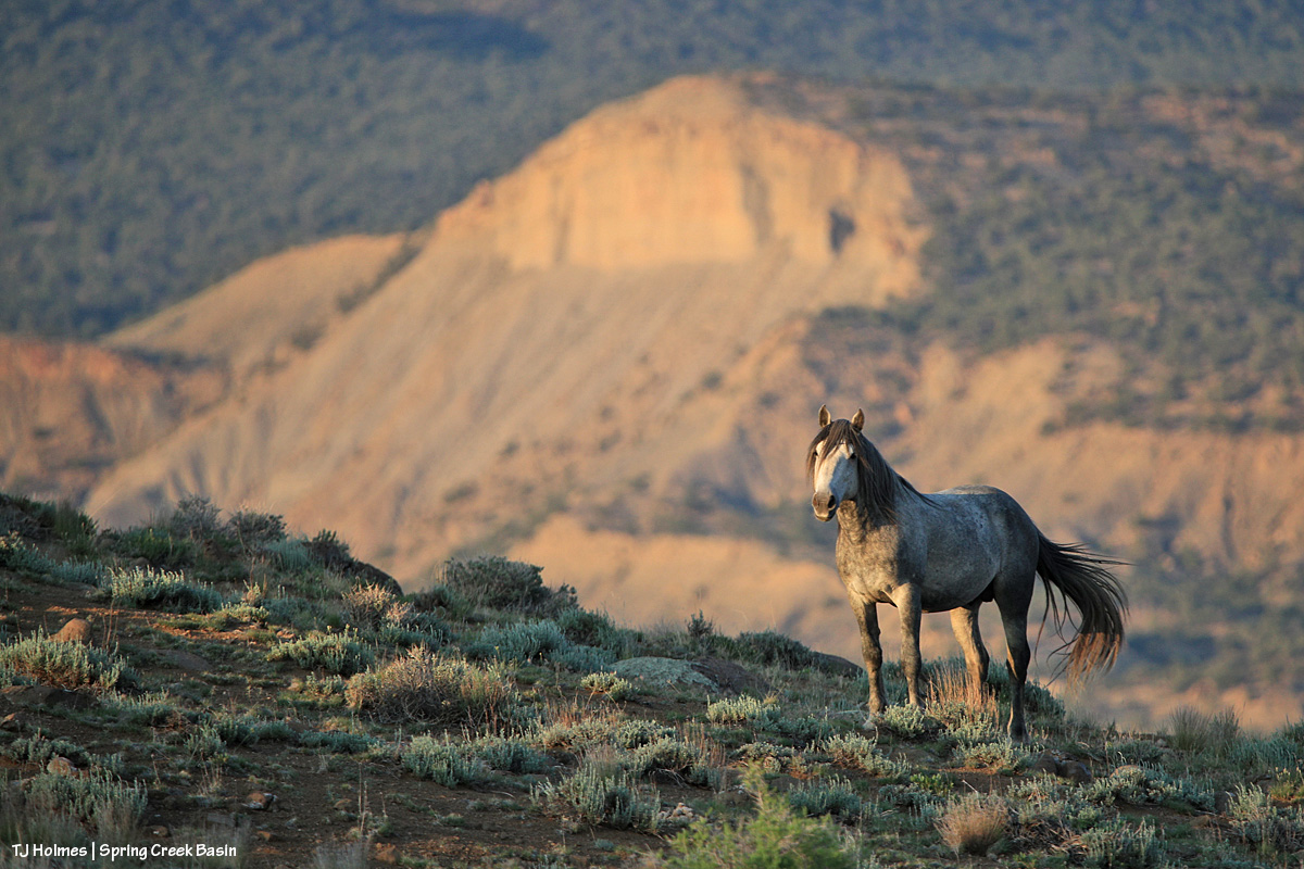
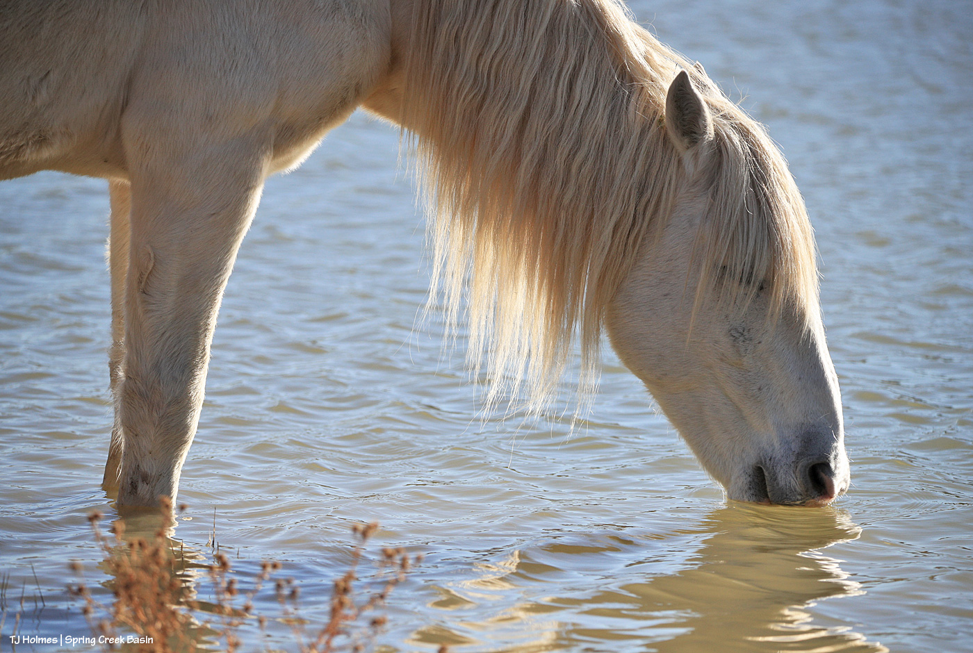
This is another one from the day of clearing after the amazing five-day run of rain last week, and this is Temple in Spring Creek, just upstream of the canyon. Water most definitely had run through the arroyo (probably multiple times during the frequent rains over Spring Creek Basin), and there were big puddles in places (along with a lot of very deep, pillowy mud). This little stream in the arroyo was fresh, trickling water, which the horses definitely seemed to appreciate.
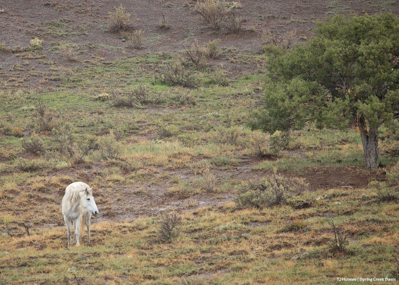
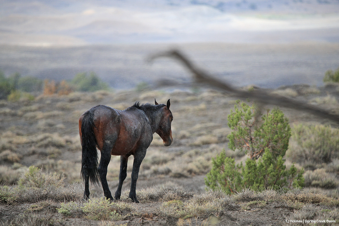
Seneca, the evening before last, in the rain. The pic doesn’t show the hazy grey of the rain between me on the road and Seneca grazing across a deep arroyo that runs inside the basin, but it was actively raining, and I was glad of my truck cab’s shelter. If you look closely, you can see some puddles in the ground behind her. And does it look greener? I swear it does … and is.
Disappointment Valley got more rain yesterday. I caught the tail end of one phase of sunshine in mid- to late afternoon, but before I even found horses, the clouds were billowing up from the south again already for the next phase of rain.
It is DAMP out there, folks. The kind of wet, still-sloppy, muddy, soggy, wonderful ground we rarely get to enjoy very long after it rains.
“Follow the … ” mustangs! (No, not spiders; that’s Harry Potter, and we weren’t looking for a basilisk.)
Most of the coolest things I’ve found in Spring Creek Basin are a result of following the mustangs. They know all the best places.
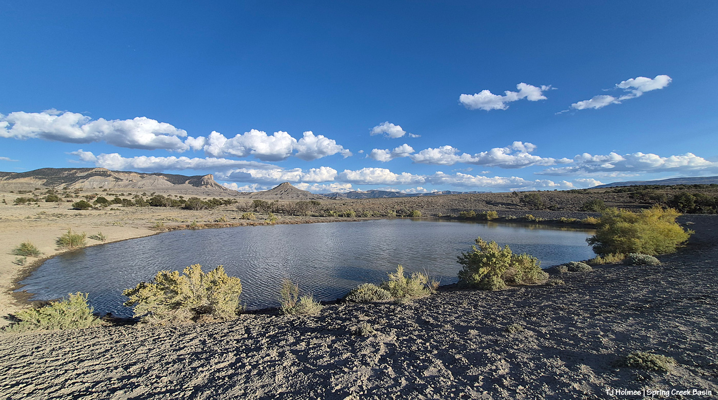
Am I right, or am I right?! The last time I’d been to this pond was much earlier in the summer, and it was dry.
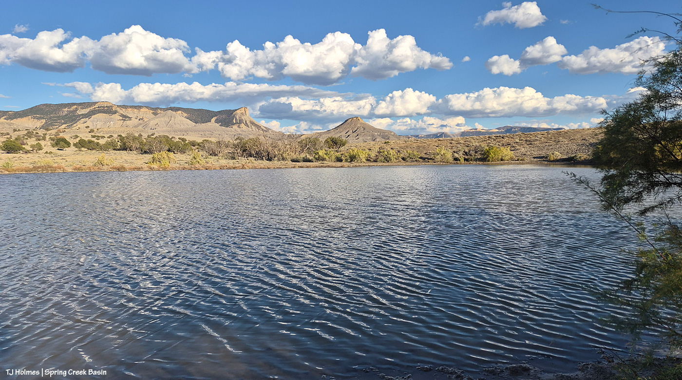
Isn’t it a divine sight, all that lovely, rippling water?
Water is gold in the West. To know that we’ve gotten enough rain now this year to fill this pond fills ME with immense joy and relief and gratitude.
The horses drank their fill and moseyed farther on to chase the green. … And speaking of green …
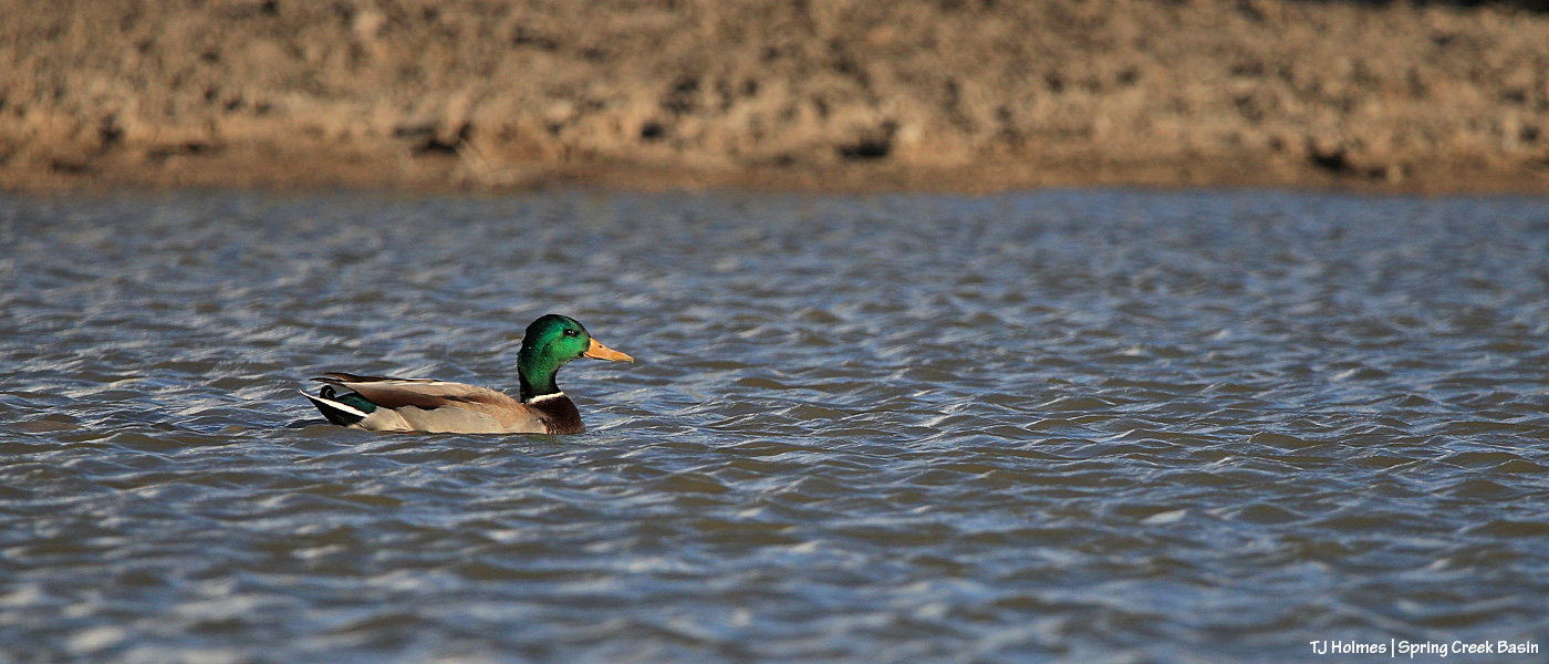
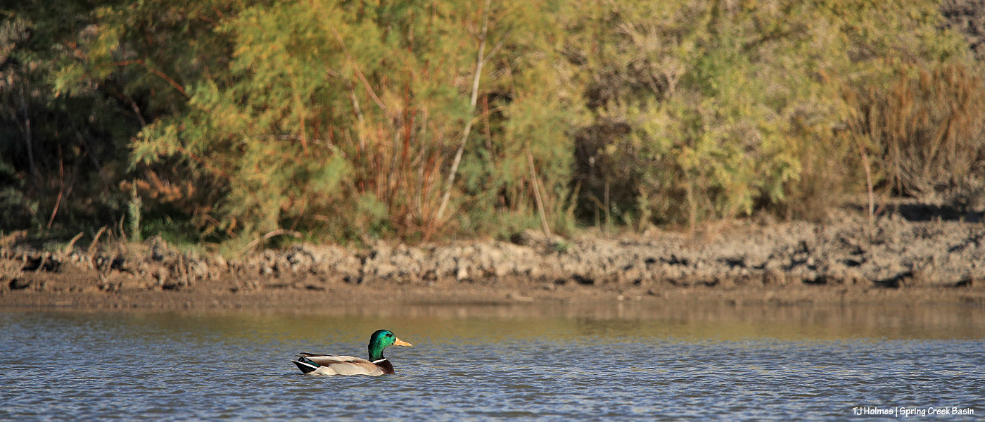
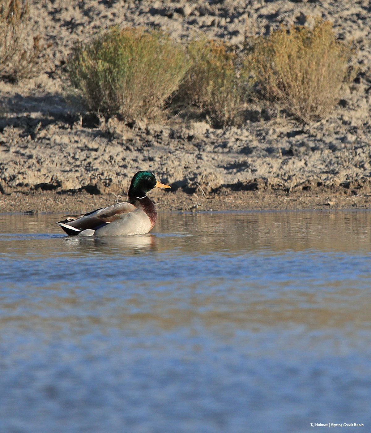
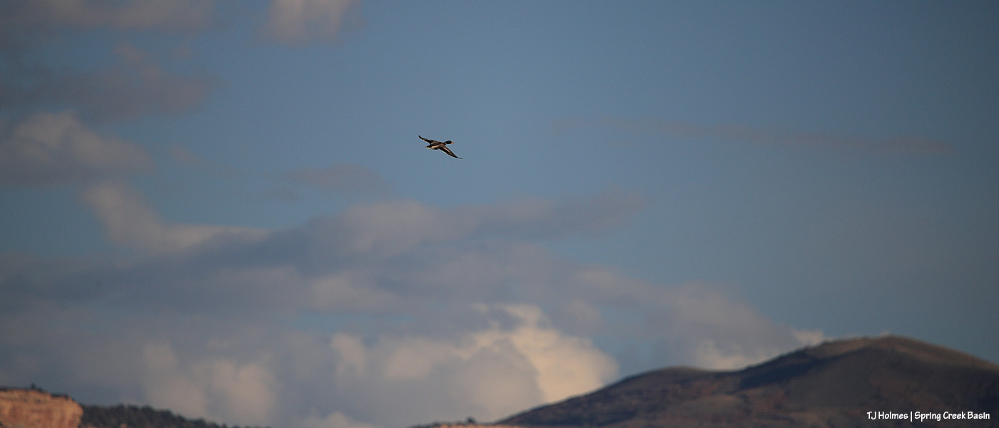
To my surprise (the horses weren’t phased), this mallard drake landed on the water right in front of us!
No matter how many times I see ducks on our desert ponds, I think I will never cease being surprised! And grateful that they find an oasis in the otherwise dry landscape.
The sun was fairly low on the western horizon, and fortunately, he was still lit by sunlight despite the berm/bank of the pond and a distant hill between us and that horizon. Depending on how he turned, his head feathers flashed iridescent green or nearly black. No hen landed with him, and I didn’t see one circling.
Unfortunately, the sun was sinking as fast as it does, and I had a fair walk back to the road, and when I stood up, the drake lifted off from the water into the sky.
I hope he returned to that place of safety … maybe with a hen.
As I type the draft of this post, it’s raining, which means more fresh water for the ponds, the catchments, the vegetation, even recharging the seeps …
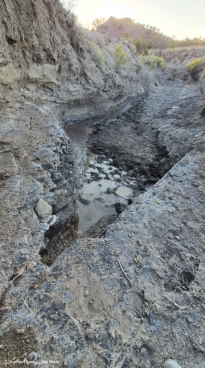
… like this one. That’s bedrock, a layer of shale (?) in the foreground (see my toe), and you can see the layer of it around the left side in the lower wall of the arroyo. Underground water hits these rock layers and comes to the surface, and the horses make good use of that water (note the hoofprints; a band had been drinking there as I walked up to the pond). There’s at least a 2-foot drop between the rock I’m standing on and the water in the bed of the arroyo as it continues, where it runs down a slight slope, as it might (hopefully) do with this rain!
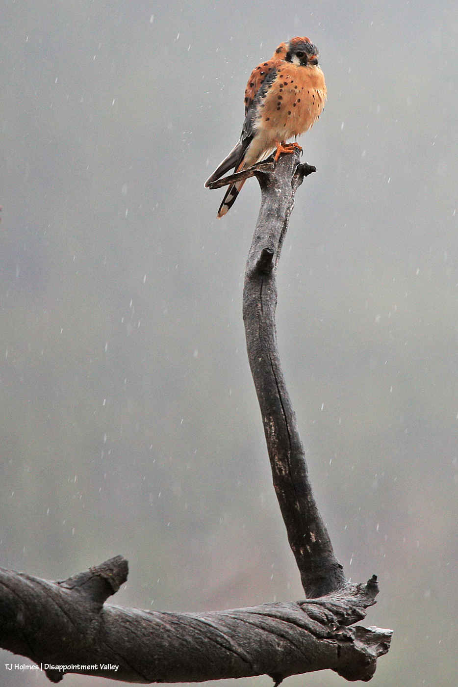
We got some rain. 🙂 (Zoom in to see actual drops of actual, falling rain!)
A proper toad-gagger across Disappointment Valley and across Spring Creek Basin. Zoom in above to see rain drops. … This, pictured, was NOT the toad-gagger; that happened much earlier (before daylight). This was the third or fourth wave. A non-stop symphony of thunder banging the drums across the sky, and it was … *magnificent*.
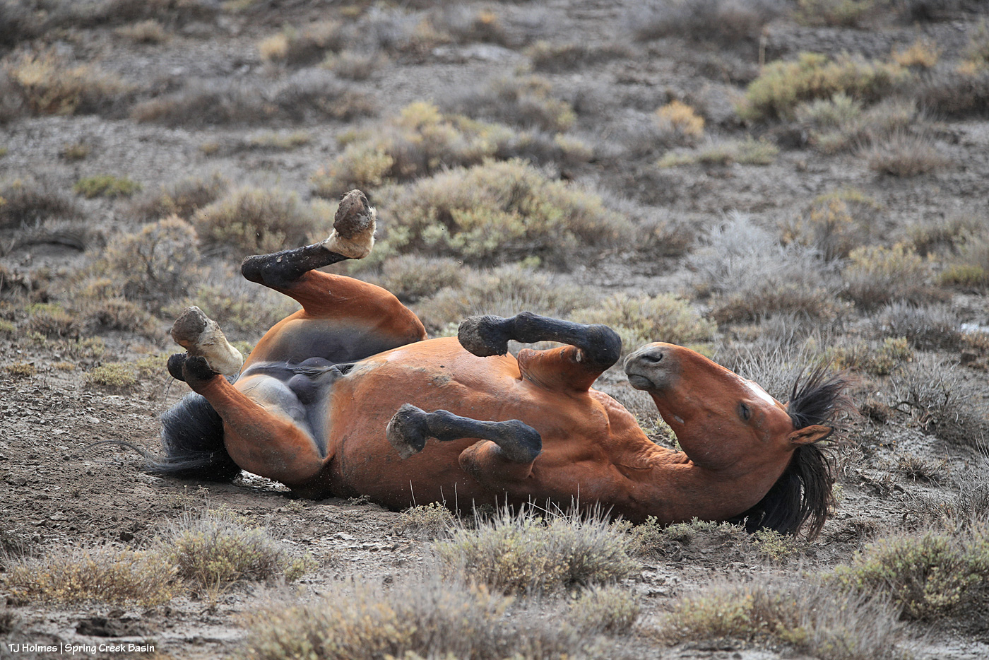
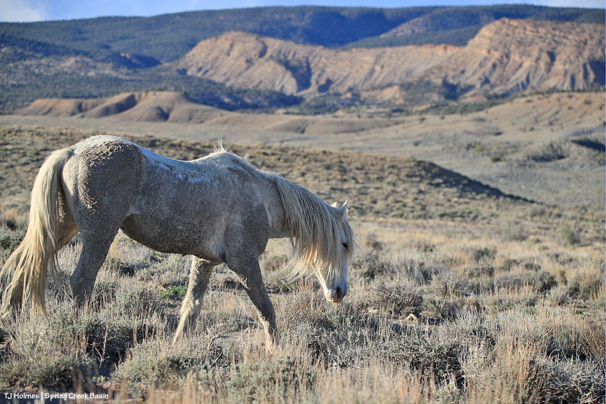
THE best thing to do after getting rained on? Roll! Almost all the horses rolled when the rain stopped and they wandered out to resume browsing.
Ahhhh. Fresh.
Spring Creek was still running, though low, at the first crossing, but clearly it had run high! By the time I got there, the water definitely was slowing. I’d gone first to where Spring Creek runs under Road 19Q (Disappointment Road), before I went to Spring Creek Basin, and it was rolling along then and there like a proper creek).
Toad’s-eye view of Spring Creek looking upstream. That sky brought the next wave of rain – and thunder rolls.
Absolutely, absolutely fabulous. 🙂 And the forecast is looking extra promising this week (as long as said forecast proves accurate and doesn’t just bomb, as it has so often this year). Dance, pray and cross everything for us. 🙂
**********
In other news, some of you may remember that I was a member of the Colorado Wild Horse Working Group a couple of years ago. That group was created by Senate Bill 23-275 (2023) as part of the Wild Horse Project to enable the state to provide support to BLM’s management of wild horses in Colorado. A second bill, House Bill 25-1283 (2025), created a program for wild horses within the Colorado Department of Agriculture, along with an advisory committee for that program. I’m now a member of this new committee.
The first bill came with $1.5 million, much of which was granted to Colorado’s boots-on-the-ground advocacy groups for range-improvement projects and fertility-control support. The second bill comes with no funding. Earlier this year, the Colorado Legislature approved a new license plate design, to join the 270 (!) current designs, to funnel funding to the state’s new wild horse program for further on-range fertility-control support as well as off-range (post-roundup) support of Colorado mustangs and adopters.
CDA has just released a survey with several license plate designs, and you, the public, are encouraged to vote for your favorite. As stated, if you participate in the survey, think about this: “Which design will help sell the most plates” … to offer the most financial support. Colorado’s campaign for wolf-related license plates – “Born to be Wild” – apparently generated around $1 million in its first year.
If you’re so inclined, please follow this link to get to the survey to vote for plates and describe what you like and don’t about each plate. Keep in mind that visibility and identifying *wild* horses as the subject are the main goals in order to encourage people to buy these plates for their vehicles to help support Colorado’s wild horses.
And if you’re a vehicle-driving Coloradan, the plates likely will be available next year.
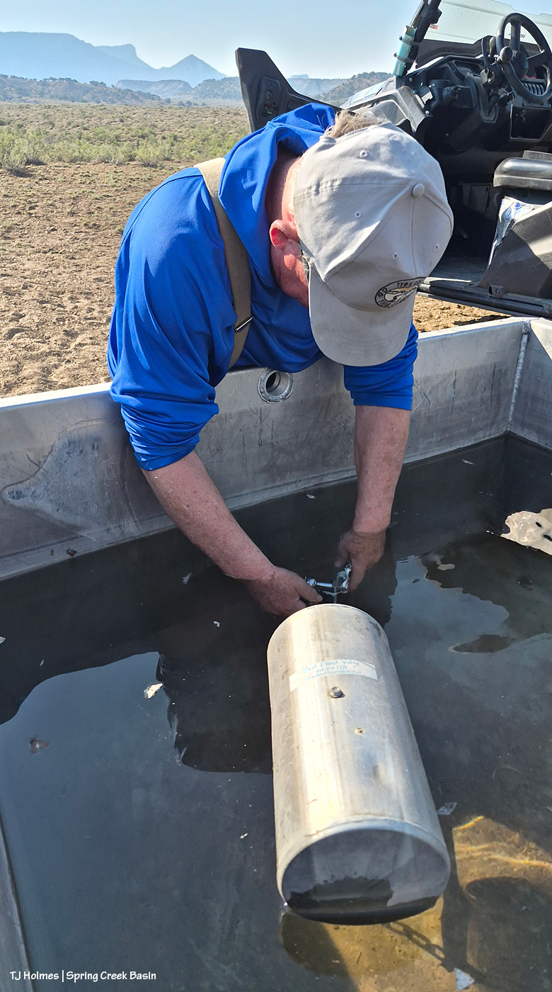
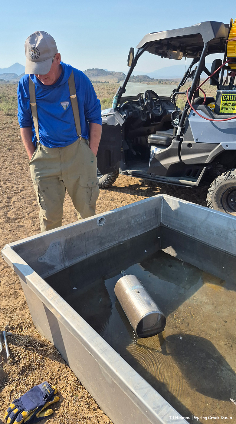
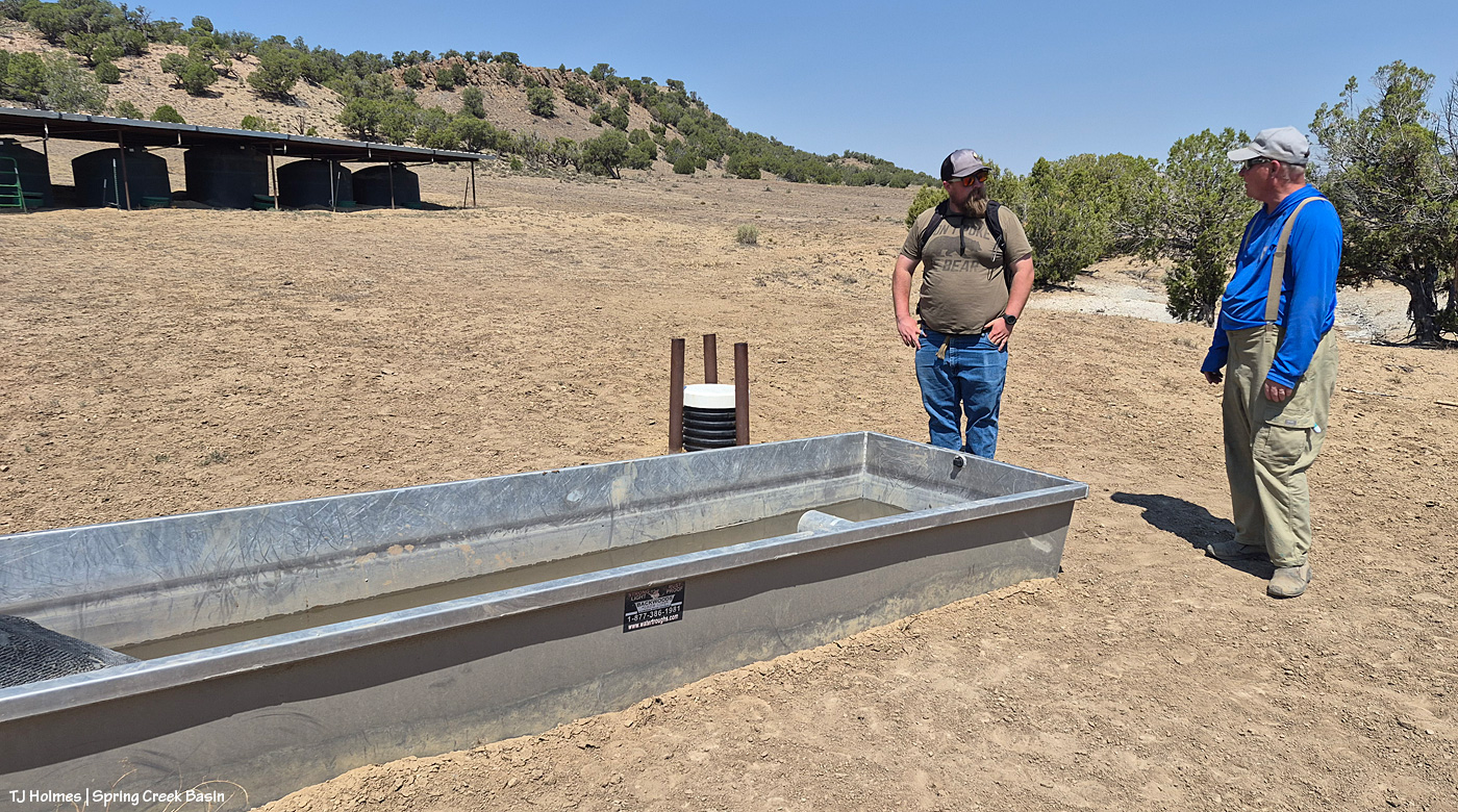
Mid-week in Spring Creek Basin, early morning to beat the 100-degree afternoon temps, a couple of *my* BLM guys gathered with me for some fixin’s. Not food; water-related.
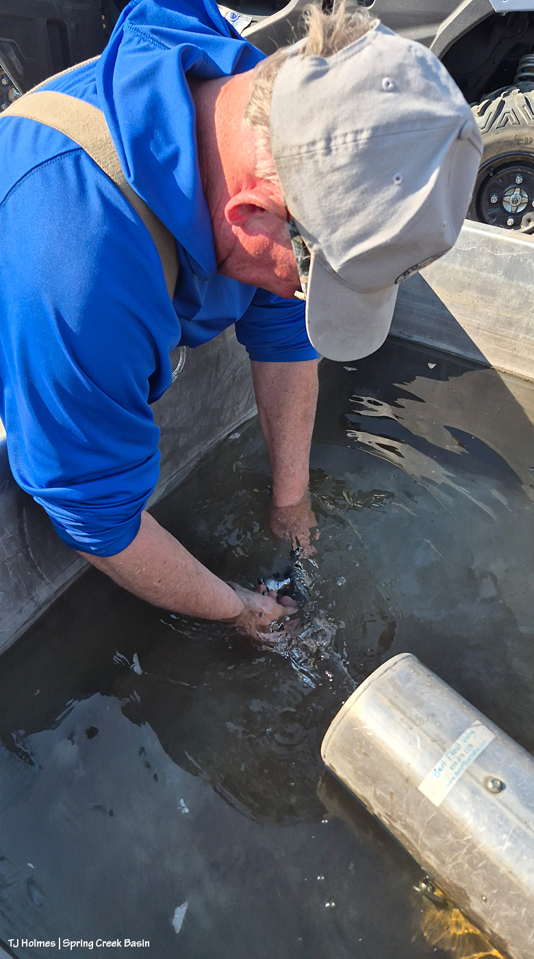
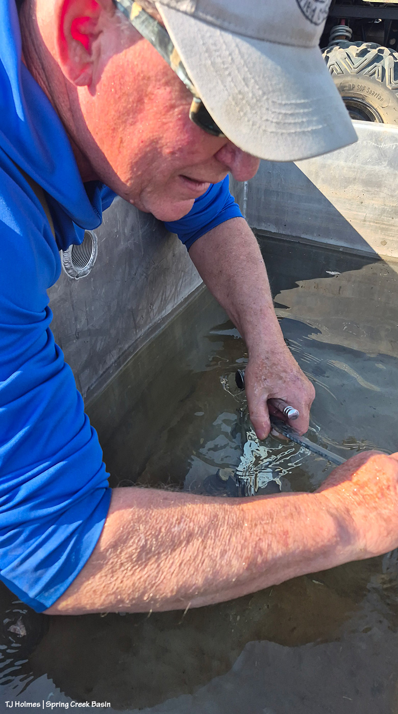
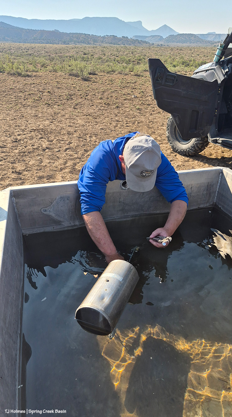
BLM seasonal range tech Jim Siscoe came out to fix/replace the broken piece in the wildcat valley water catchment trough! This means that I can leave the valve on for the water to fill the trough automatically as the horses drink it down without turning the valve on to fill the trough and off so it doesn’t drain all our precious water from the catchment tanks. If you were with us in 2021, you’ll recognize Jim as part of the dream team who built the first of two new water catchments in Spring Creek Basin (along with Mike Jensen, Garth Nelson and Daniel Chavez).
Jim had asked that the trough be dry for the work, as he wasn’t sure he’d be able to insert the new piece if the pipe was covered by water.
Obviously, the trough was still about half to three-quarters full! He did say the cool water felt great, and it didn’t hamper his fixit skills at all. 🙂
And really, I don’t think I can be blamed because I’d last filled the trough three days earlier, thinking that would be plenty of time for the horses to drink down the water. (Actually, I was a little worried about them not having water there when they’d gotten used to finding water there. … I needn’t have worried.)
What it means – because when I’ve been out there filling it with two, three, four bands visible nearby-ish – is that the horses have plenty of other water sources (many of which I’ve seen and know about), which, as you might imagine in these scary drought times, gives me a huge sense of relief. And Jim, awesome as he is, went with the flow (get it) and had the new piece inserted and the whole thing fixed in about five minutes flat. 🙂
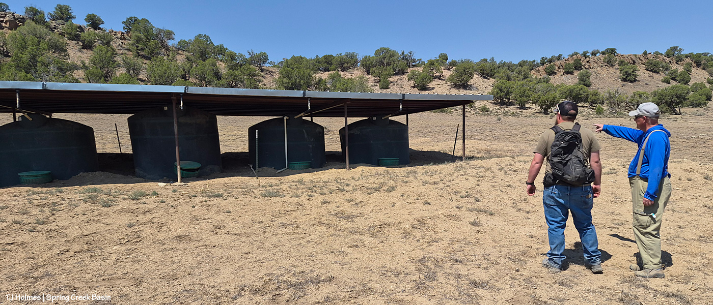
That done, we went to the northwest valley to meet Anton Rambur (BLM rangeland management specialist). There followed discussion of what it will take to fix the pipe that connects the tanks, broken last fall when the basin got so MUCH rain that it flooded around the middle tank and literally popped it up out of the ground.
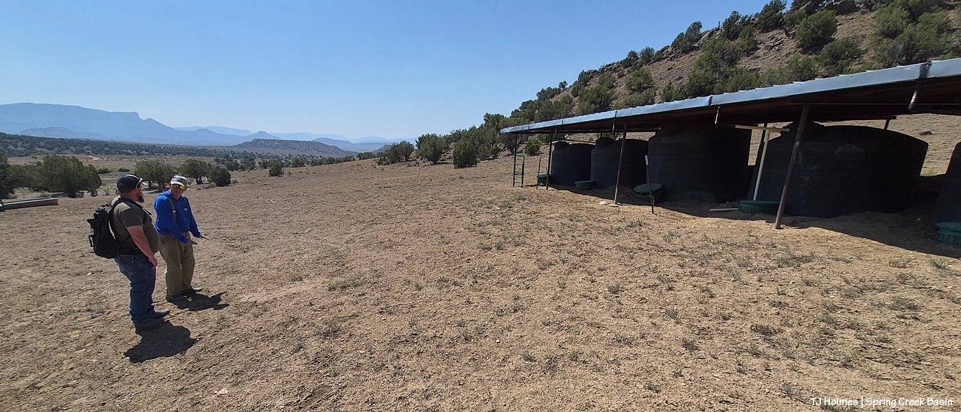
Jim points out where they’ll need to start digging to work their way up to that middle tank (as shown, it’s second from left) in order to get it out and get to the below-ground pipe.
See all the green discs at the front of each tank? Those top a vertical culvert that protects and allows access to the bottom of each tank. A pipe comes straight out from each tank and Ts at a pipe that runs horizontally across each each tank. At the far end, a pipe then runs down the hill to the trough, seen behind/beyond Anton and Jim.
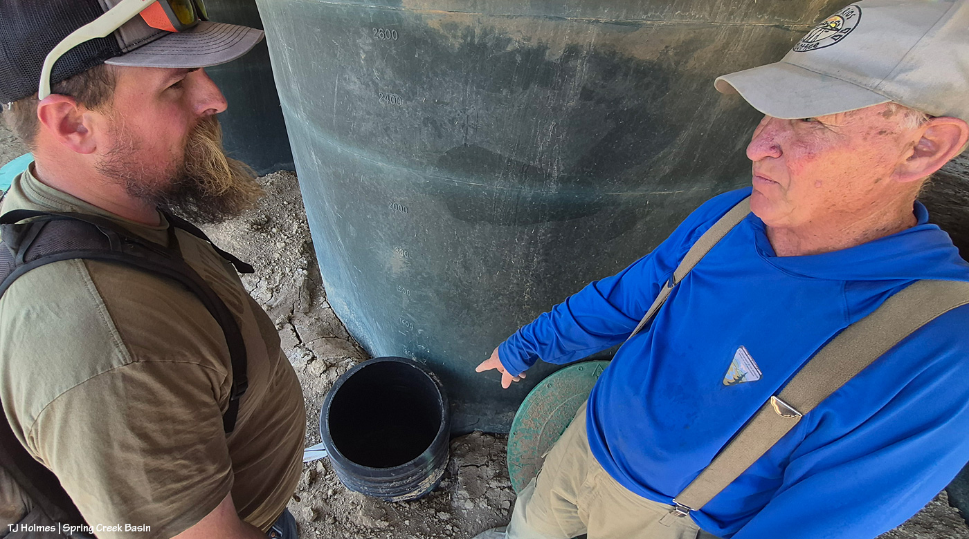
Problem pipe. This is the tank that got popped up with the force of that flooding rain last fall. The pipes were no match for the force of that water, so they broke on each side of the T. The only thing that stopped the tank from being lifted right out of the ground was the roof overhead.
The fix: Rent a mini excavator again, use it to fix the road all the way back to the northwest valley, then dig out the pipe and tank. Replace the tank and fix/replace the pipe(s) and valve. We’re also going to put in a midway valve so I can turn it off if we have a problem again because right now, while we have a semi-fix, when I turn on the valves to the two end tanks, water runs down to the trough, but it also backs up and gurgles into that culvert Jim is pointing to. Last job for the mini ex: Build up the berm again at the back of the line of tanks and dig a trench to carry water around/beyond the tanks in the future when it, you know, floods again. Because in the desert, we have to prepare for both drought and the goodness of “too much” water (I mean, nobody ever considers any amount of water to be *TOO MUCH* water in the desert … but it can be destructive when it comes all at once).
Jim and Anton talk over the water cooler … err, water trough. 🙂 Beats an office any day (though it’s always nice to retreat to office AC when the heat is this bad!).
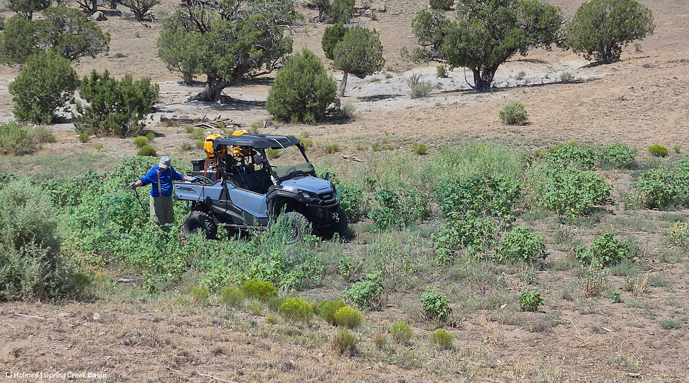
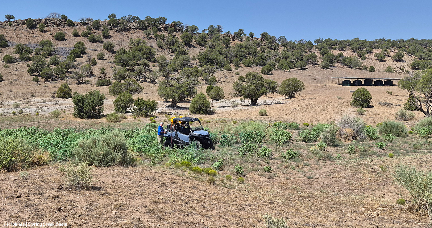
Jim is the resident “weed killer” at Tres Rios Field Office, and he does a great job. Here, he took advantage of being out in the basin to spray cockleburs, Russian thistle (tumbleweed) and Russian knapweed downhill of the catchment in the drainage that leads to the pond (left and dry).
Wider view that shows the catchment up to the left. The trough is barely visible behind that single juniper.
We were out early enough to beat most of the heat, make a good fix, run some water, talk about another fix, spray some weeds. No matter the conditions, we’re makin’ it work.
To remember how I did this post last year, I had to go all the way back to Valentine’s Day to find the post recapping the previous year (2024, then) in images. This year (for 2025), I’m happy to announce that for once, though I procrastinated, it wasn’t THAT long, and it was in plenty of time (OK, one day to spare) to make the Dec. 31 deadline.
Deep breath: This was a hard year. Last winter was rough (read: bad dry), which meant the rest of the year was rough (read: really bad horrible awful dry) in terms of drought. Monsoons didn’t hit their stride over Southwest Colorado, so we didn’t get much rain, either. Federal employees were hard hit, too, and one of our young BLM’ers was illegally fired from the new job he loved.
But we also had some good-news happenings: Thankfully, he was reinstated, and we have a strong range team in Ryan, Anton and Laura. We got some new signs installed, including the replacement of the old, sun-bleached, weather-beaten interpretive sign for the new information “kiosk” that greets visitors upon entering Spring Creek Basin. Fertility control (native PZP) continues to be an extraordinary benefit to our herd in terms of management and keeping roundups and removals at bay.
In wider Colorado mustang news, the BLM short-term holding facility at the Cañon City prison complex closed in November, BLM and Colorado Department of Corrections being unable to reach a contract agreement. That’s not-great news in terms of uncertainty for rounded up and removed Colorado mustangs. Where will they go? In semi-balanced decent news (?), all of the Colorado mustangs that were in holding there (about 100 at the time) were adopted or went to private sanctuary or are currently in foster situations for a planned adoption in March (and that all happened despite federal employees, including BLM’ers, being out of work (or working without pay) because of the government shutdown).
What follows is a pic from each month of the past year and a bit of reminiscence of what was happening when I captured the image of a mustang or mustangs. Many of these pix have been featured previously on the blog; some haven’t. If you make it to the end, there’s a bonus pic … one of my favorite of the past year.
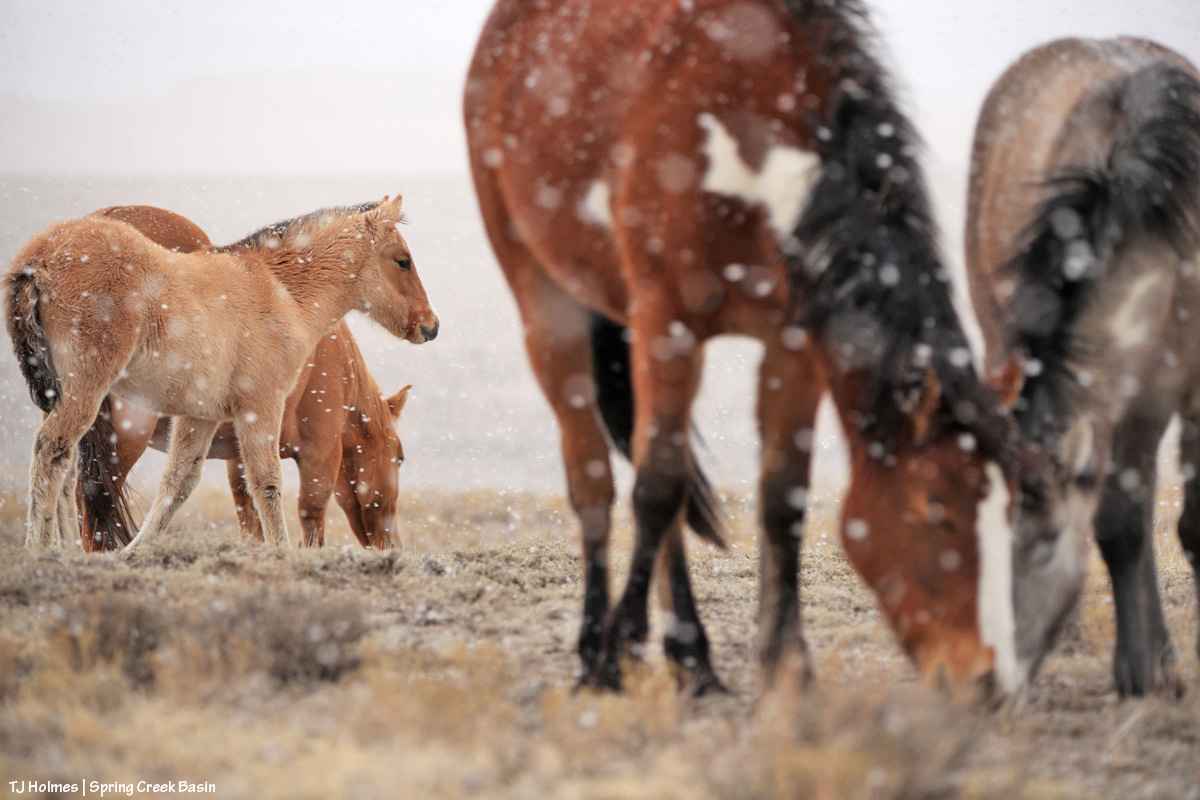
This is one of my very most favorite pix of the entire year. I love it so much, it’s the background image on my computer. I’m aware that I likely post a lot of images of Buckeye’s family; you won’t be surprised to know that they’re among my most favorite mustangs. I considered this image as the *bonus* image … but it was one wildly beautiful day of snow (well, I was out with the horses, watching the snow coming for at least two hours before it finally reached us), and it didn’t match the otherwise very dry *year*. … So it gets the January title.
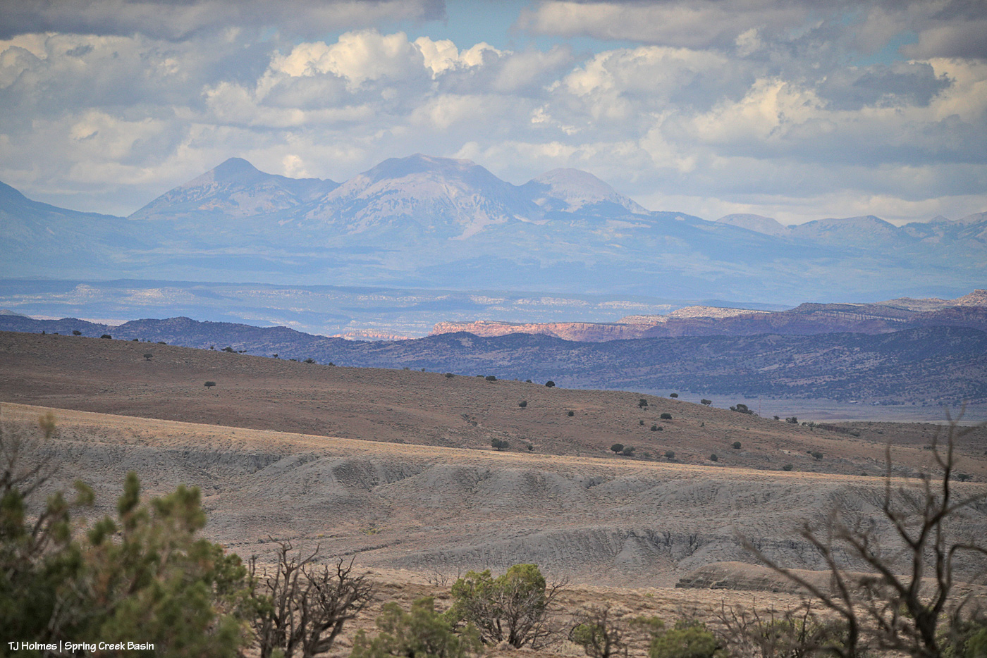
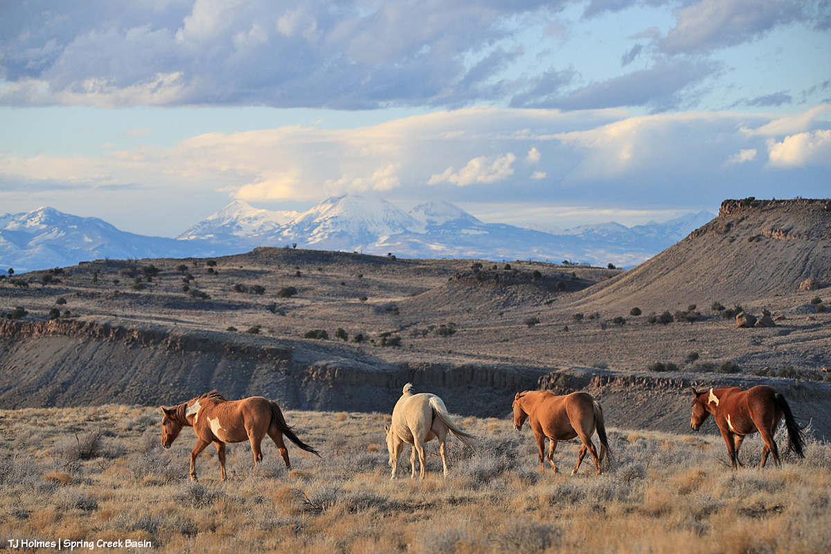
Did I say that I love Buckeye’s family? You can forgive me for singling them out, right? The three mares weren’t born here, but gosh, they are treasures from our sister herd in Sand Wash Basin, and I’m so grateful that we have them. And yes, that was February. Utah’s La Sal Mountains may not have been the *closest* snow, but we sure didn’t have much.
March is still fuzzy-coat weather with signs of approaching spring, especially in the high desert of Southwest Colorado. Fortunately, we had ponds early in the year. They’d all go dry before some rain this past fall put water back in a couple of them, including the one pictured above with Chipeta. This pond is nicely full currently – and has mustangs taking advantage of its water.
April found Sundance not far from the pond pictured above, and he still had his band at that time. Later in the year, he lost them, and he’s been by himself since then. He has wandered a bit, following vegetation and available water. The stately ol’ guy is still around … I see him now and then, napping in the sunshine or grazing on the side of a ridge.
This wasn’t especially the best pic I took in May, but I love both the perspective and the sort of inside joke that Cassidy Rain always likes to be the farthest away from the two-legged. That day was a pretty warm one, and the band was in an area of basin where I rarely find them. It’s not a place with a lot of trees (in fact, there are very few), but they had found a couple, and were comfortable together in the shade near sunset.
My best boy Storm made a brief appearance in the northern part of the basin in June … one of the first times I’d seen him since he’d lost his band the previous autumn. Bittersweet. I haven’t seen him since about July, when he was at a water source with another band as I was trying to shoot the rising moon.
Ah, July, the month the Deer Creek Fire at the base of Utah’s La Sal Mountains sparked. It wasn’t the biggest wildfire of the season, and it wasn’t even the biggest with smoke visible from Spring Creek Basin and Disappointment Valley, but it was uncomfortably close to home. It was a reminder (as if we need any more) that it’s hotter and dryer out there, and we all need to be super aware and careful.
Fortunately, the mustangs live in the moment (while the humans obsess over the wildfire updates), and they still enjoyed peaceful days such as this: Three mares content with their world and each other.
Finally, as summer gave way to fall, Mother Nature cried her best tears and filled some ponds for the mustangs. THAT brought huge relief to us all (if I may speak for my four-legged friends as well as myself). Interestingly, visible at upper left in this image is Benchmark Lookout, a U.S. Forest Service wildfire-watch tower staffed during the critical seasons of the year (which includes September). In this backcountry, we are massively grateful for those who watch for and provide critical information about wildfires, as well as those who work to contain them, allowing them to provide some benefit in some cases while trying to keep property and lives intact.
It might be about now in the list that you’re thinking, “for talking about dry it was, she sure included a lot of pix of ponds.” It’s not because we had so much water; it’s because we’re massively grateful for the water we had.
There’s no water in this image – and it was November, before snow graced the peaks on our northwestern horizon – but the ponies are lined out on their way out to graze after drinking at a little place I call the marsh. This is post-sunset, but wow was it gorgeous under the autumn light. … And it’s not UNgorgeous at blue hour.
You’ve just seen this image of Temple with Temple (yes, the same) Butte and McKenna Peak in the background under a stream of stormy-looking (they didn’t produce a drop over us) clouds. I decided not to choose a pic from the bit of snow we got at the very beginning of December because the above is what we saw the whole rest of the month. The weather has been warm and dry … and that’s awfully nice for getting around and playing outdoors (60s! in Colorado!! in December!!?!) … but if things don’t change in the next few months, I’m going to be singing the same ol’ why-won’t-it-snow song that seems to be stuck on repeat.
And your bonus:
This was an evening in June. Nobody wanted to pose much, and I was going bananas, trying to get somebody – anybody – in front of that background in that subtle, delicious light. Finally, this young stallion obliged. And it seems to sum things up a bit: Hot this year? Yes. Dry? Gosh, yeah. Anxiety-inducing? Pretty much like always … with an extra edge. But! Beautiful, peaceful, a place of escape from the world’s ills (at least the headline type). Kind of a promise that it’s there … out there … and sometimes we don’t have to search all that far for it.
And there you (kinda) have it: 2025 in the rearview. It’s always hard to select just one pic for each month (plus a bonus!), but I hope you enjoyed this little recap.
In best-of-all news, I spent a lot of time (again) with my beloved mustangs in the best place on Earth (in my ever-so-humble opinion). 🙂
And close to that is my gratitude for all of you readers who follow the mustangs and our pictorial journal of peaceful, wild, beautiful life here in Spring Creek Basin. Thank you so much, and I hope you all have a peaceful, wild, beautiful 2026 (with lots more moisture!!!!!!!!!!!!!)!
It was really great to see this wonderful old guy.
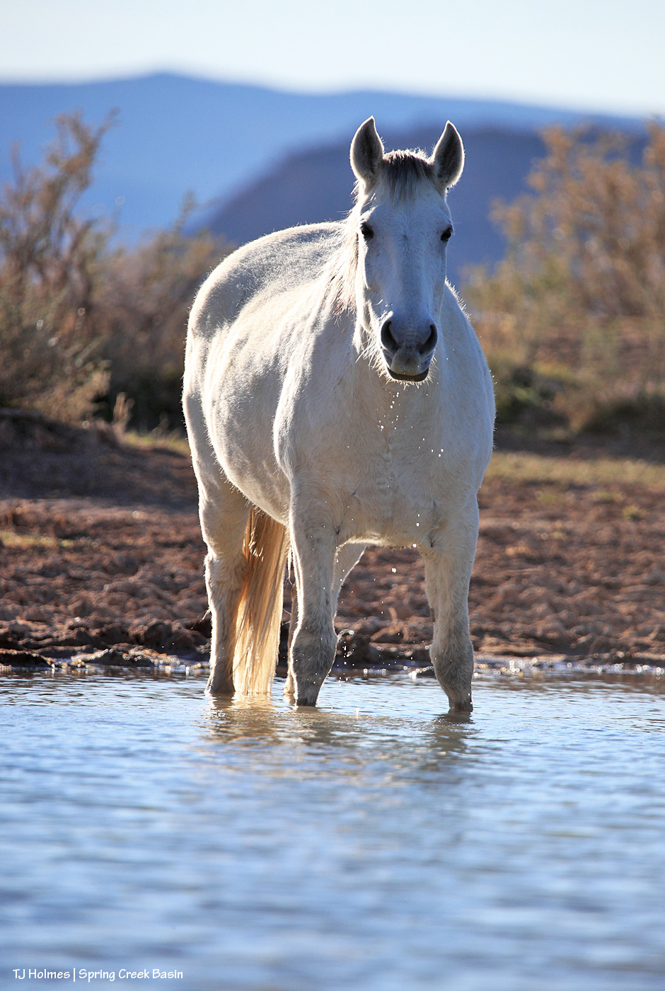
Sundance lost his band earlier this spring, and he’s been wandering alone since then. He seems to be all right, but he’s thin, and he shows zero interest in being around other horses.
I was really glad to see the pond so full that he could walk in, up to his knees, and just drink and drink and drink. And he did.
I sat on the bank; he didn’t mind me at all. I’m sad to see him in perhaps his twilight year(s), but I was really glad to see my old friend.