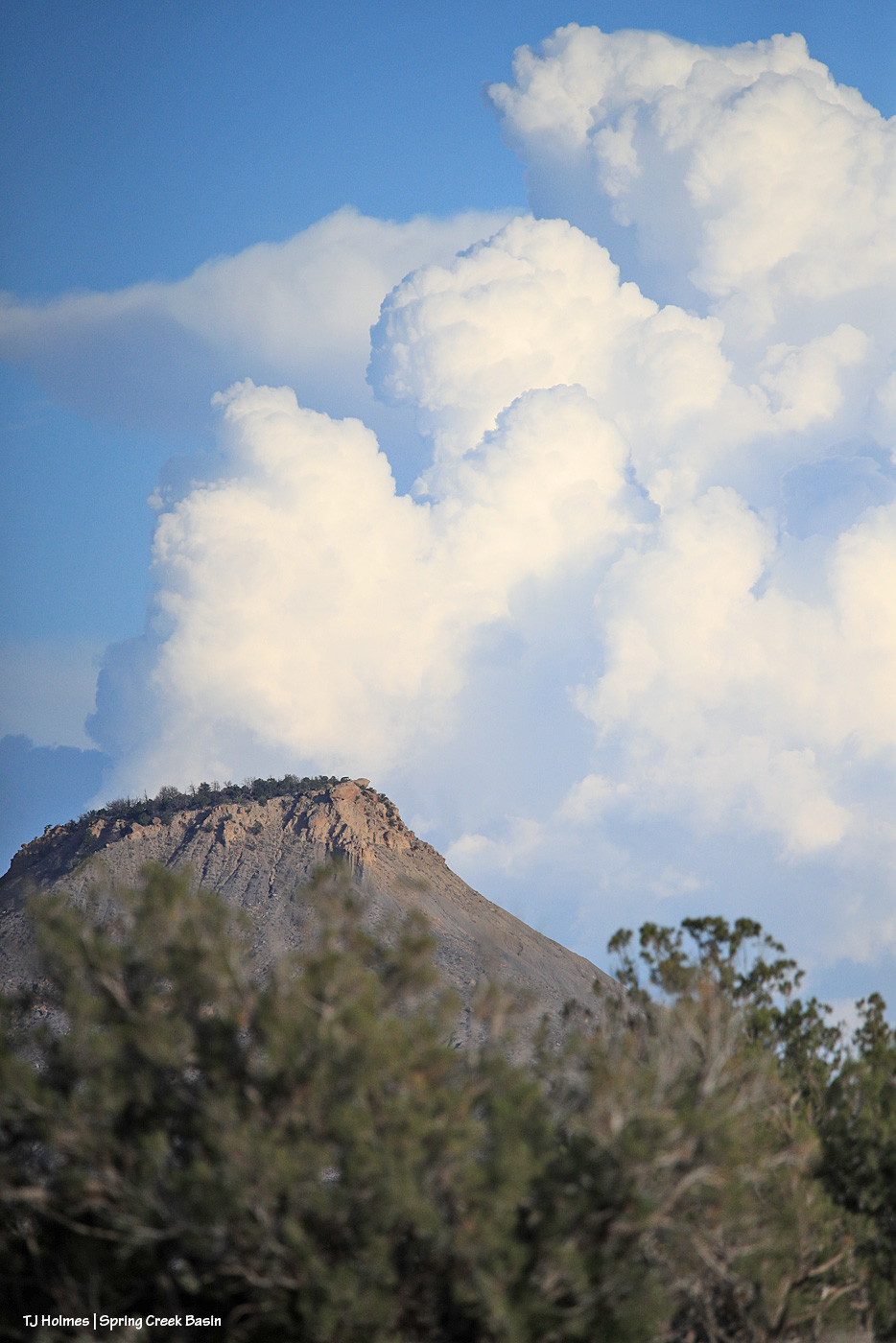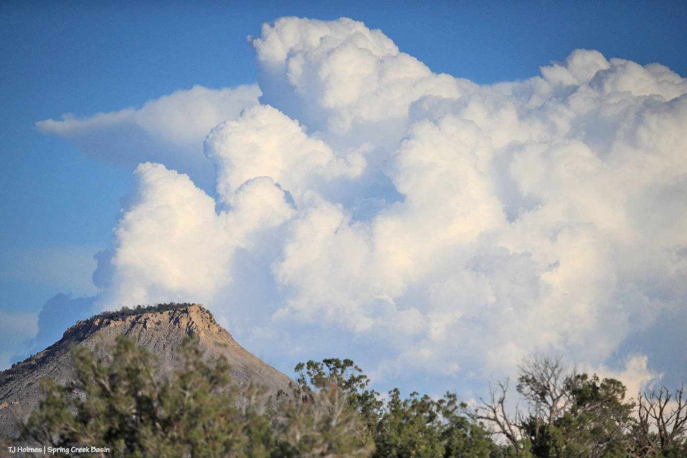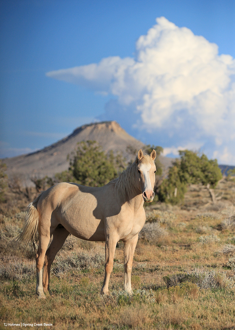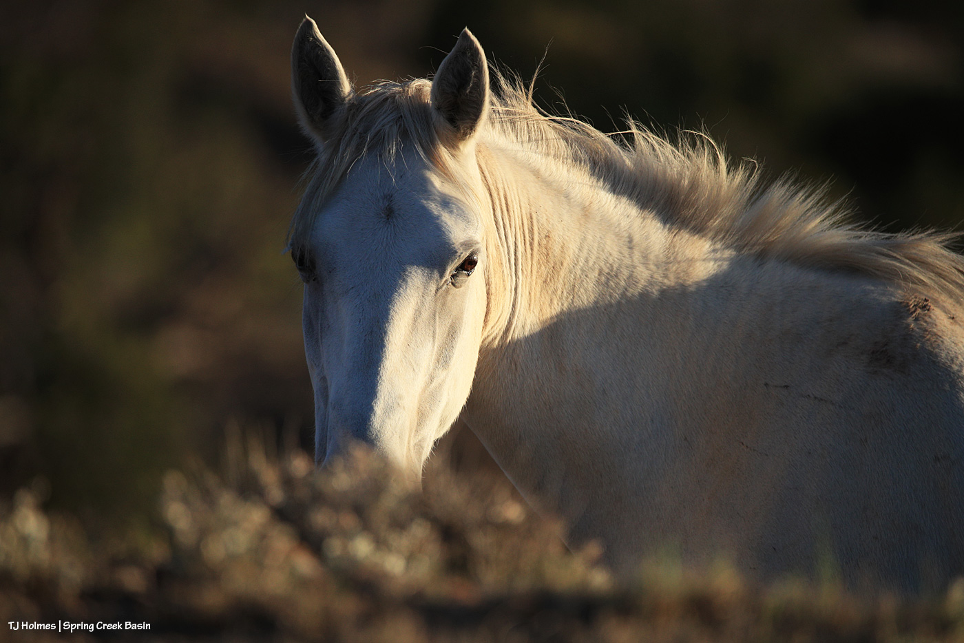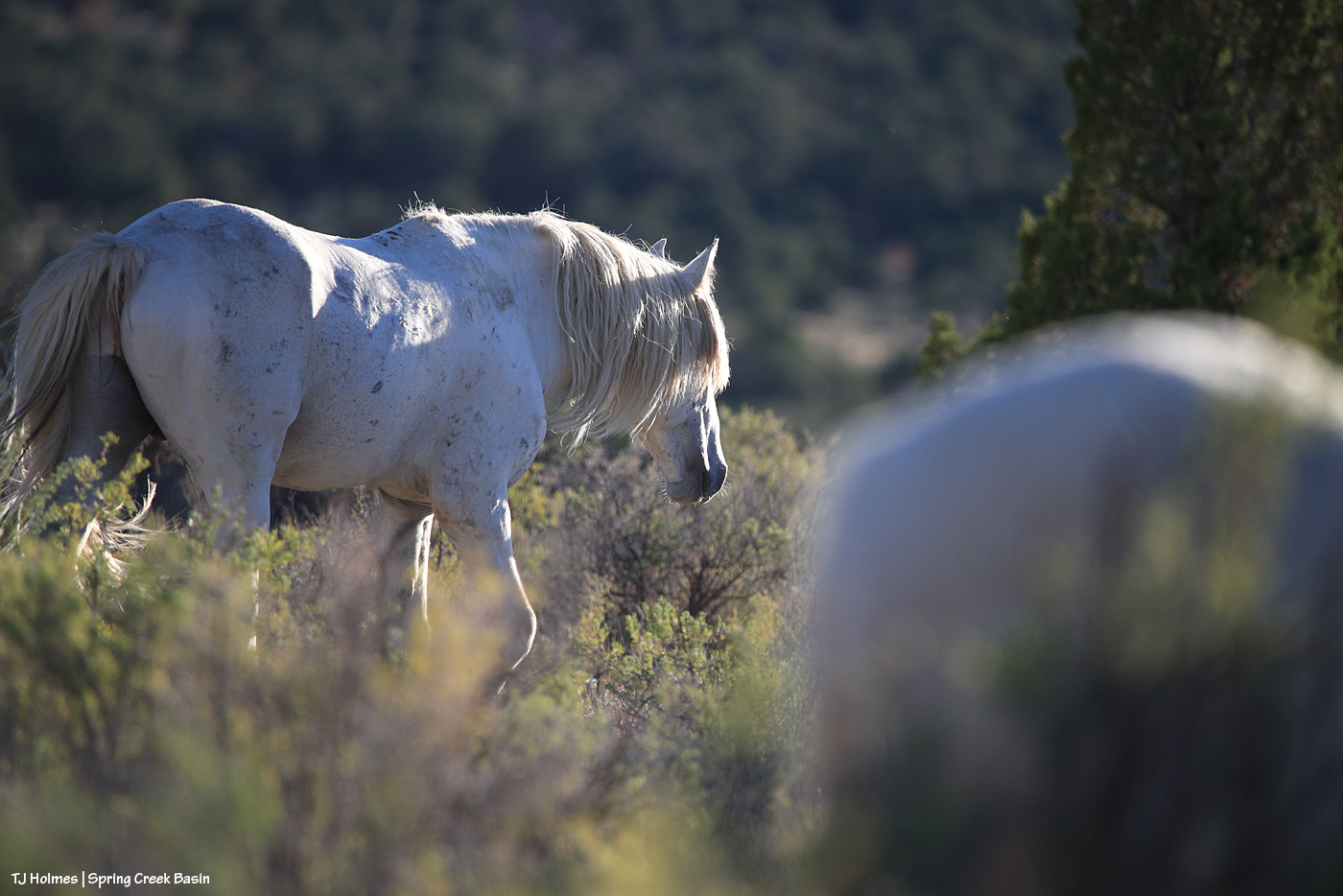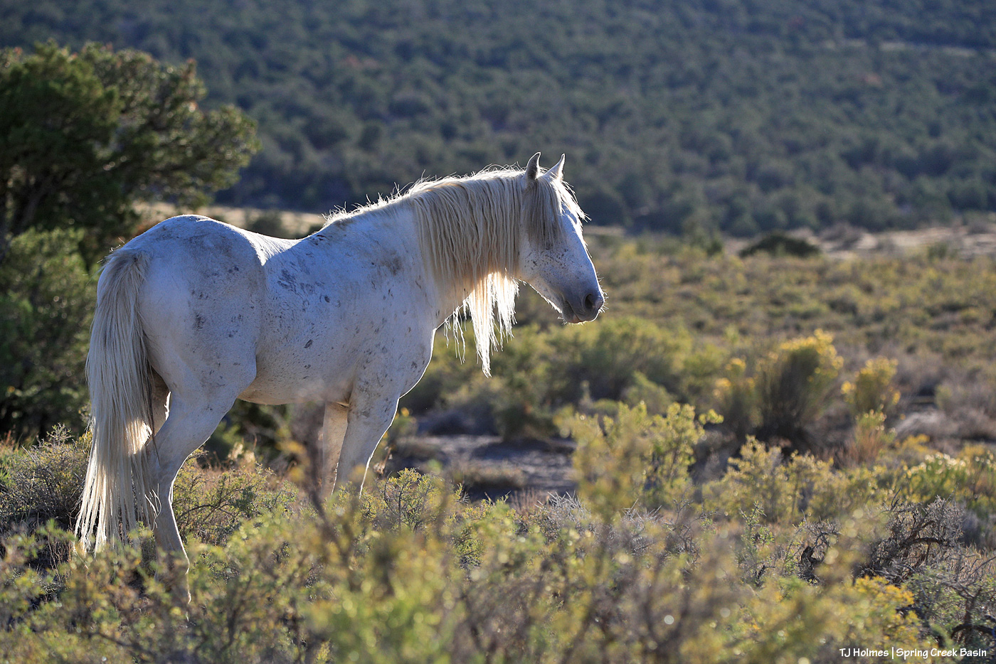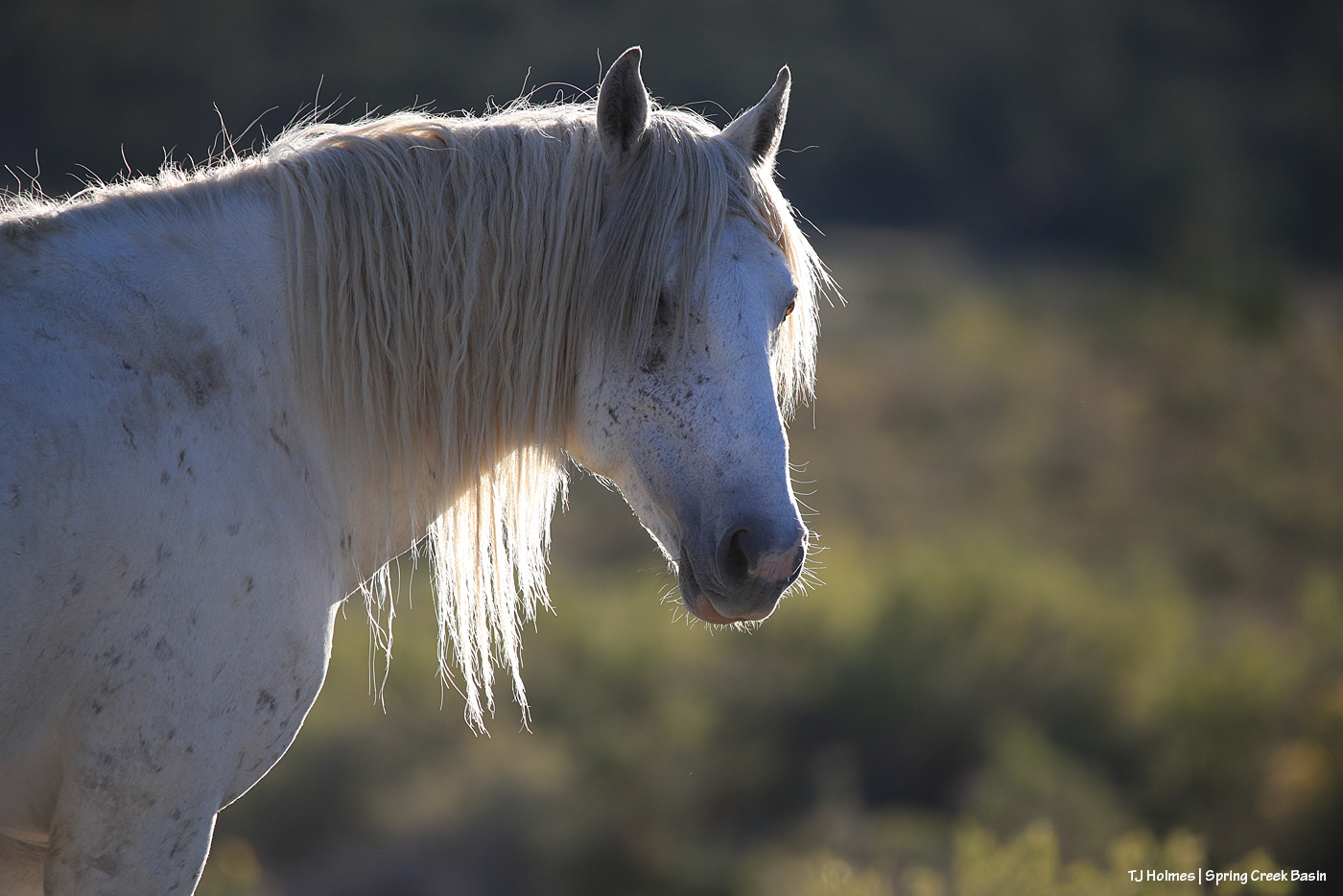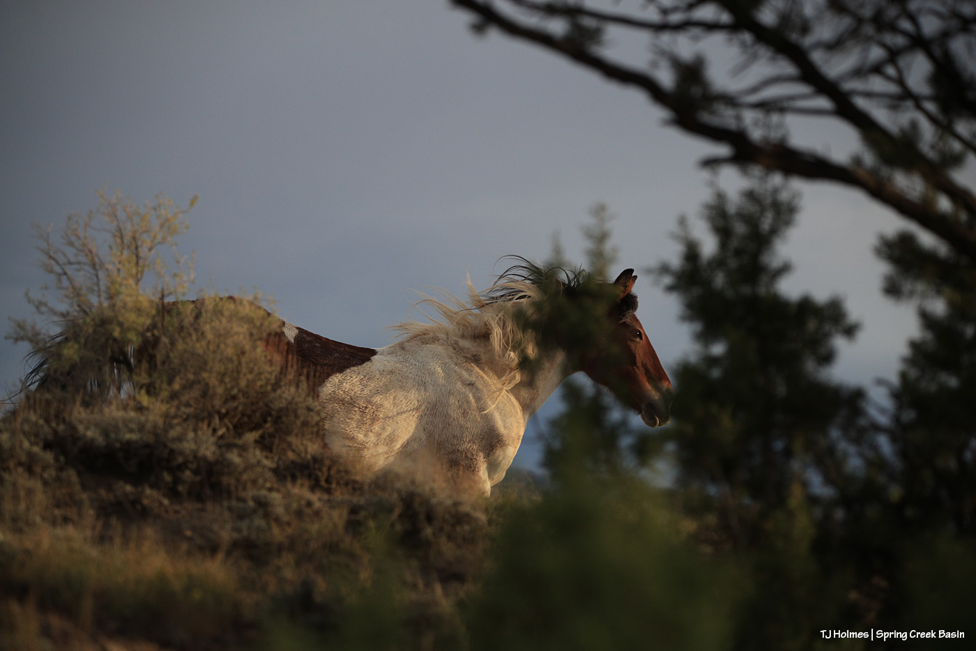
Beautiful light on Maiku as he watches another band grazing up the slope. He and his band were napping; the other band was grazing. Very peaceful. At one point, the shadows of the horses on the little rise behind me were over my shoulder as I sat on the ground photographing Maiku, making me feel very surrounded by my loves.
We didn’t get rain that evening, but we got a nice little patter Sunday evening.
This little fellow or gal scrambled into the middle of a four-wing saltbush (I think? I didn’t stop to ID it at the time). Very shy but maybe one of the bigger horned lizards I’ve seen – and certainly recently. Probably about the size/length of the palm of my hand. I think each individual is different with its coloration/patterns, too. Check out the cool yellowish spots on the dorsal side of this one; they made me think of a butterfly’s markings, so they might be to deter predators?
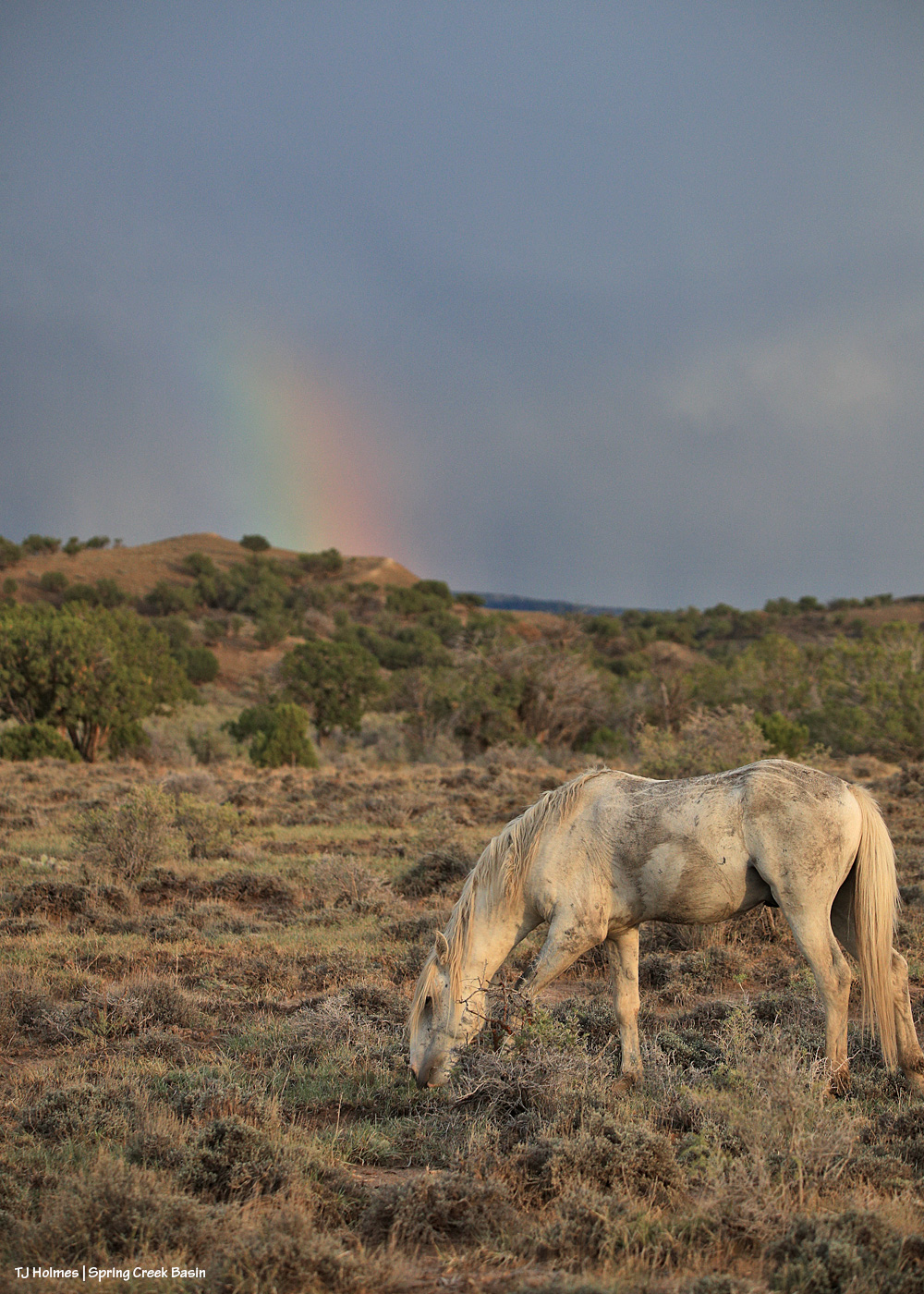
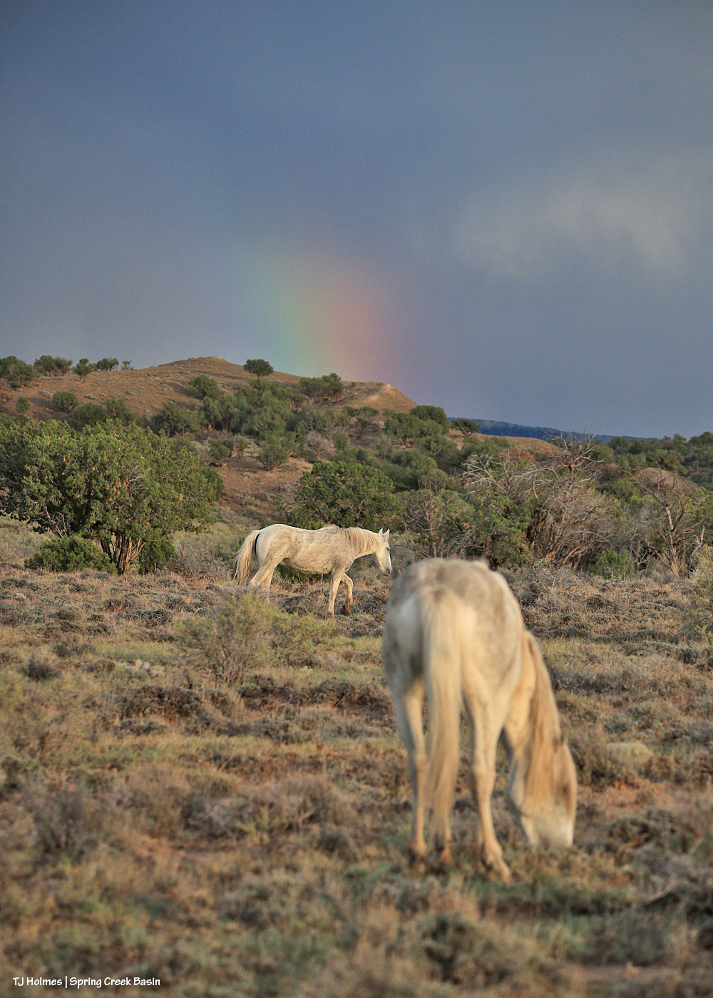
I had just walked back up the hill to the road from visiting with a couple of bands when the sun sank into a low cloud right above the horizon, and I thought (silly me!) that was sunset. … But THEN … the sun found a sliver of a break between cloud and horizon and sent its good-night-world light across Spring Creek Basin. See the partial rainbow at nearly center over Round Top in the low distance? And if you look closely, there’s a band of horses (anOTHER) band of horses) that appeared walking west across the northern base of what I call the east twin butte at lower right.
Note to self: The light’s not done till it’s DONE.
Not much of a theme to the post today … just a couple of glimpses of Spring Creek Basin this past weekend. 🙂
Between one thing and another (including some more sprinkles and thunder/lightning risks after the big rain Tuesday night), it took me three days to get out to Spring Creek Basin to check on the state of things. Only parts of the arroyos – Spring Creek above – were still damp, and this isn’t even close to as rearranged as I’ve seen Spring Creek and this crossing after a big rain over Spring Creek Basin. I’ve been turning the valve to one trough on and off manually because part of the float is broken, and I hope to report soon that we’ve fixed that. Fortunately, there’s plenty of water in the tanks to fill the trough pretty quickly (good pressure).
The Ferris Fire is mostly contained. 🙂 I have to think there’s been a huge sigh of relief for the rains, combined with the huge effort from more than 1,000 firefighters to set containment lines in those first few weeks when conditions were SO hot, dry and windy and it seemed like they/we couldn’t catch a break.
I hope that title won’t explode the Internet or get the blog censored. 🙂
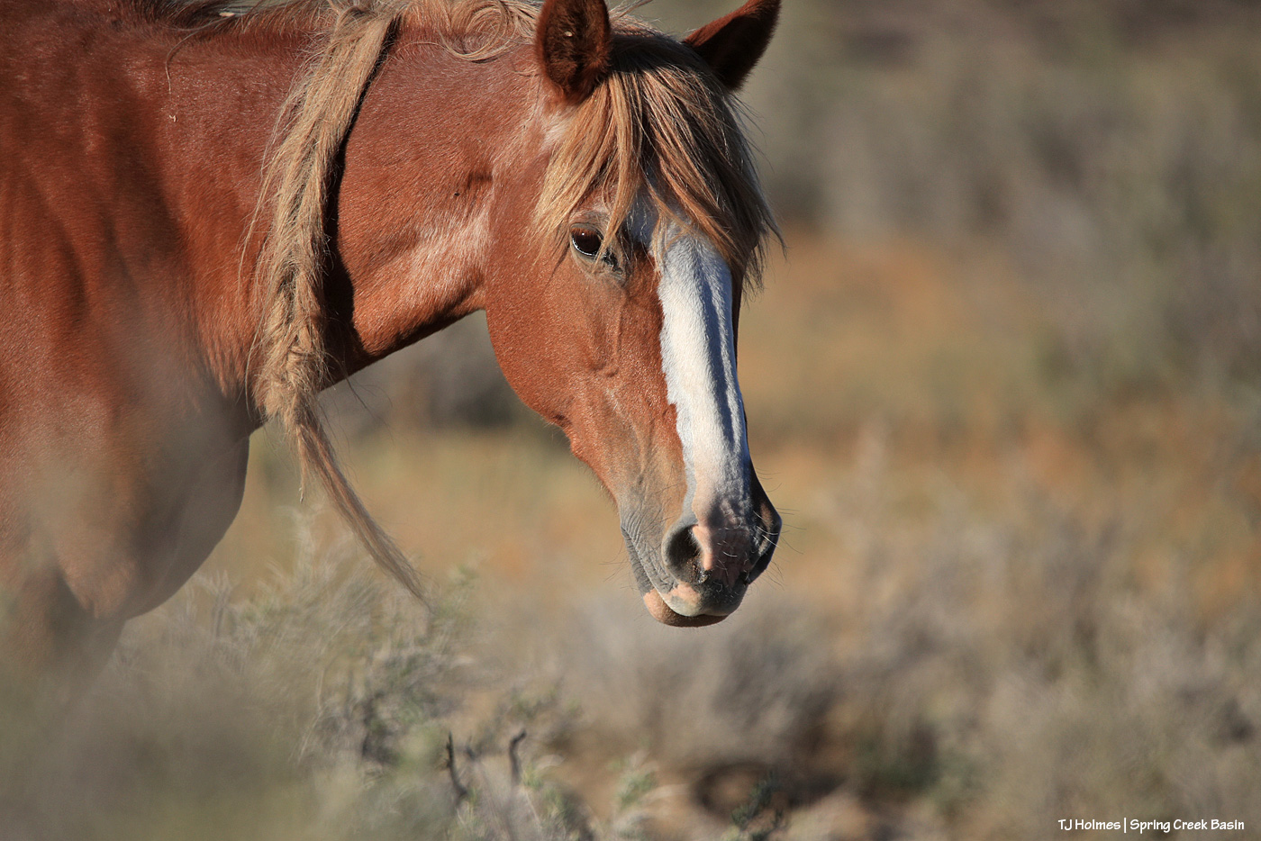
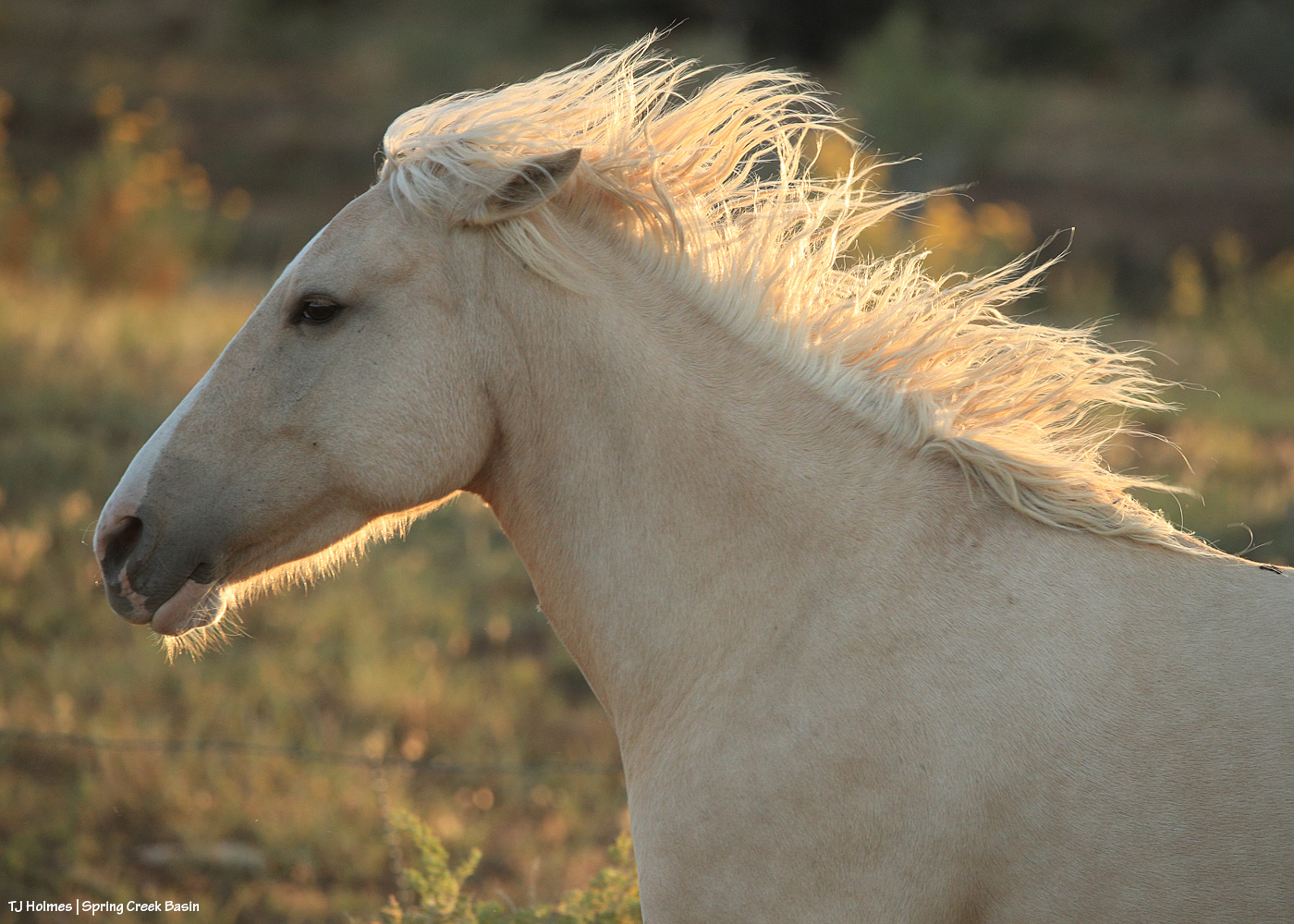
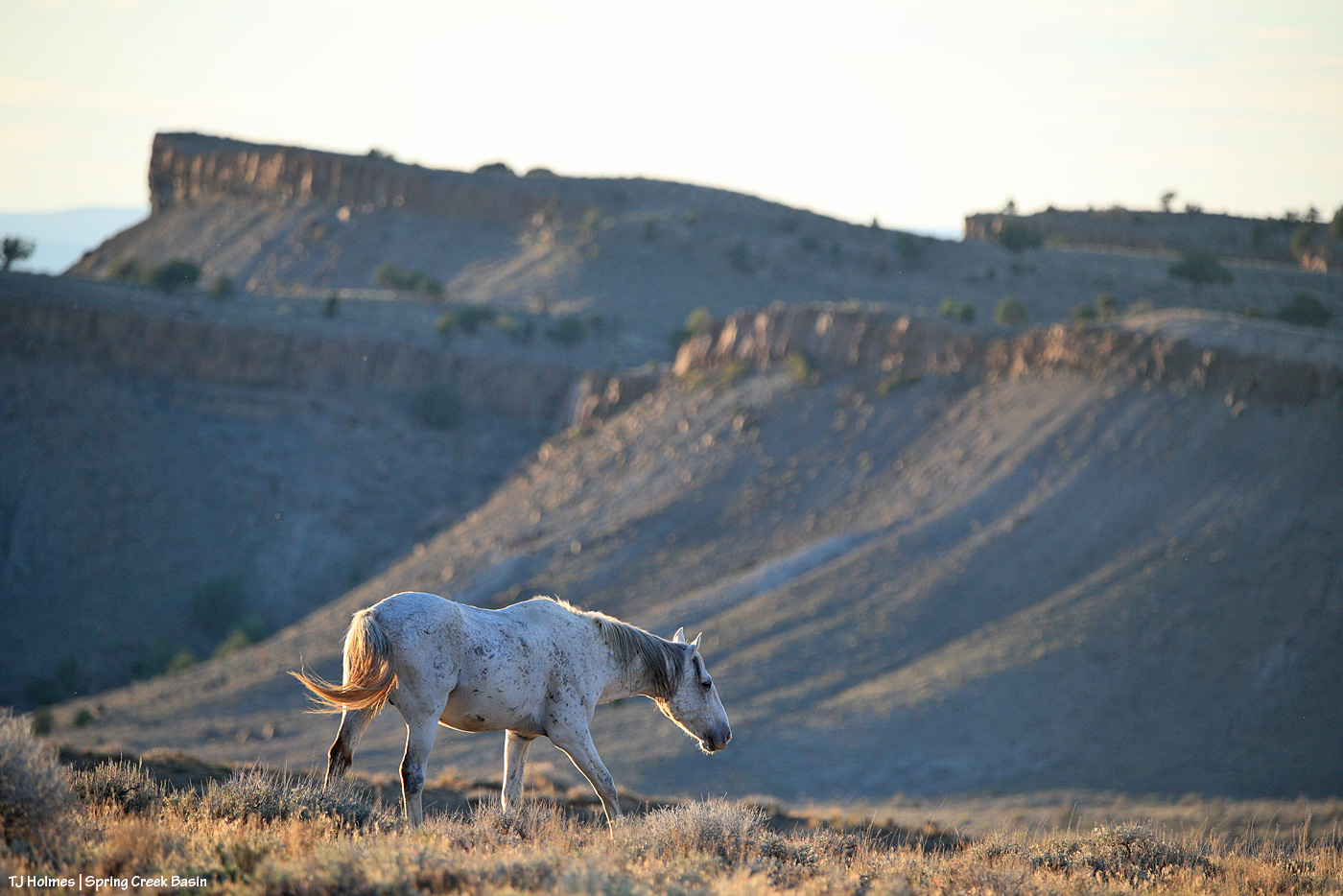
Pretty Rowan in pretty light.
*****
The Ferris Fire stands at 64,881 acres and now is 91 percent contained (!). Big wow and gigantic thanks to the firefighters as they continue suppression efforts. From Watch Duty Regional Captain Adam Johnson: “Containment on the Ferris Fire continues to increase as firefighters make steady progress securing the fire’s perimeter. Recent rainfall and elevated relative humidity have significantly reduced fire activity, allowing crews to focus on locating remaining pockets of heat using infrared-equipped Unmanned Aircraft Systems (drones). Suppression repair efforts are underway to rehabilitate roads and other areas affected by wildfire operations. Crews are also preparing for post fire hazards, including an increased risk of flooding in recently burned areas. Heavy rainfall has already caused flooding in Bradfield Bridge Campground, and more is expected due to clogged and damaged culverts throughout the fire area.”
Note to locals: “Closures: The San Juan National Fores has a Fire Area Closure in place as does the Bureau of Land Management for Bradfield Bridge and Box Elder Recreation Area and multiple roads on the north end of the Ferris Fire.”
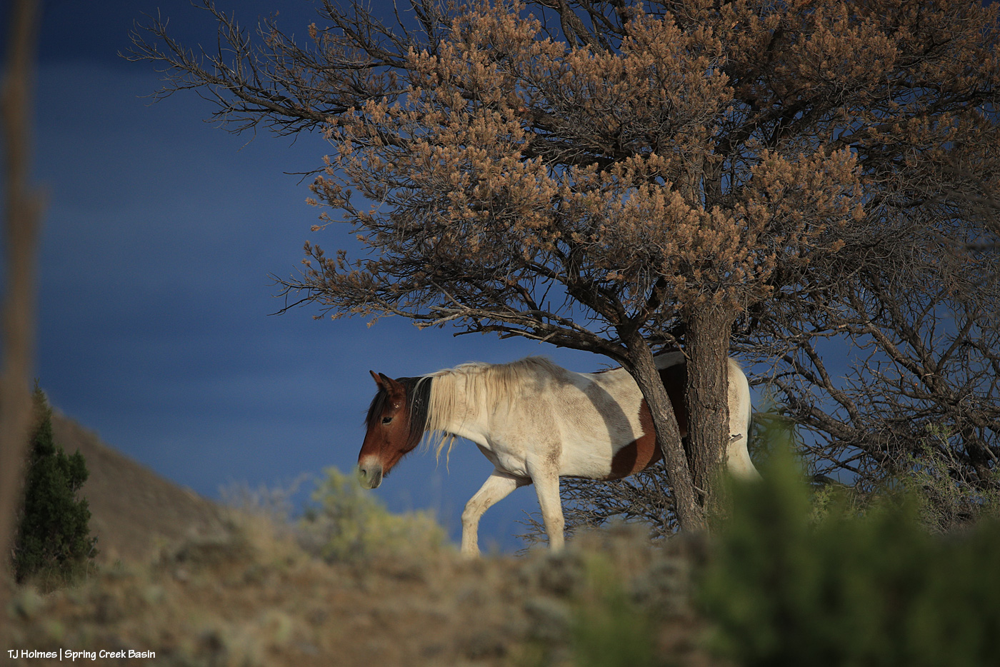
Temple looks like an otherworldly equine goddess (which, of course, she IS) in the glowy stormlight a few evenings ago. That one actually brought rain. … We’re waiting for more.
The Ferris Fire is holding steady at 64,881 acres, and it’s now an amazing 83 percent contained! Way to go, firefighters and Mother Nature! There have been more than 1,100 people assigned to this fire.
The Spring Creek Basin level of Disappointment Valley finally received the first/best rainfall Friday night. Up-valley neighbors report good rains, but at the lower end, it’s been more on the miss side of hit-or-miss. Hoping the future chances of rain really target the dry areas.
This pic, taken Sunday from between the main/original water catchment and Filly Peak in Spring Creek Basin, is looking southeast toward the Glade and Benchmark Lookout. A few days before, I’d seen the red swaths of retardant across the trees while looking at smoke up there, but I didn’t manage to get a decent pic that showed it. While fire continues to smoke in that area (that’s the Ferris Fire’s northeastern edge), clearly firefighters and aircraft pilots have been hard at work. So hugely grateful! Rick and Linda Freimuth, who staff the tower during the fire season (!!!) hope get the green light to return this week. The mustangs and I (you know they would if they could) will be cheering their return.
Now, some taken yesterday (Monday):
Storm brewing to the east. Spring Creek Basin’s western rimrocks and Filly Peak (lower left) are in sunshine, while Temple Butte, McKenna Peak, Brumley Point and the basin’s eastern ridges are shadowed by rain! Woo-the-heck-hoo!
Looking back to the west from the same spot as above. More rain! What looks like white smoke on the horizon at left IS smoke from the Ferris Fire … and I hope it got a good dose of the wet stuff. It wasn’t a high-rain-chance day, but toss the forecast and let ‘er rain!
Methinks the weather wizards were outsmarted by Ma Nature herself. 😉 RAIN, BABY, RAIN! This is from Chrome’s Point in western Spring Creek Basin, looking eastish at a curtain of rain that DID, as I was taking pix, make its way west. Unfortunately, I didn’t get tooooo wet. Ha – I would not have minded!
Ants congregating at the entrance to their mound. Apparently, “Ants congregate at their mound entrances after rain primarily to survive flooding. When underground tunnels fill with water, the colony is forced to evacuate. They move the queen, larvae, and food upward to escape the saturation, using the surface or mound entrance as a temporary, elevated sanctuary.” Interestingly, these ants and others I saw doing the same thing in the same relative area happened to be on some of the highest ground in the basin, near the western boundary. I guess that when you’re an ant, everything is at the elevation of ground level (ha ha!).
From the south wall of Spring Creek canyon looking eastish after the rain (it didn’t last very long, unfortunately).
Hope you don’t mind this view! It’s pretty spectacular. No, that’s not a road down there in the canyon; that’s Spring Creek arroyo, and just beyond (lower left), it leaves Spring Creek Basin to cross lower-ish Disappointment Valley on its way to join Disappointment Creek (neither of which are carrying water at the moment).
See the pinto pony? This is from the same point as the above two pix, looking generally northwestish across lower Disappointment Valley toward Utah’s La Sal Mountains. There’s a fence across this lower end of the canyon to keep the mustangs within Spring Creek Basin, and there’s a water gap (hanging PVC pipes to move when water DOES flow) across the Spring Creek arroyo. There are a couple of manmade structures down there, one behind McKenna and one kind of in front of him.
As it turned out, though he and his pal and a band were in the vicinity – and the reason I walked out – it was something else entirely that actually took me all the way to the canyon rim. … And that will wait for another post because I got some pix that knocked even my socks off.