Welcome rain

15 09 2026

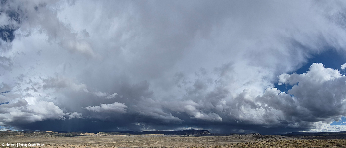
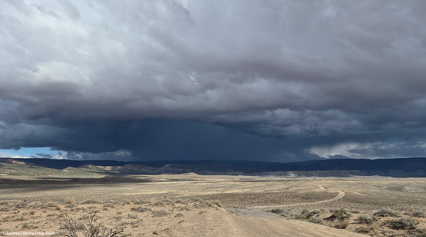
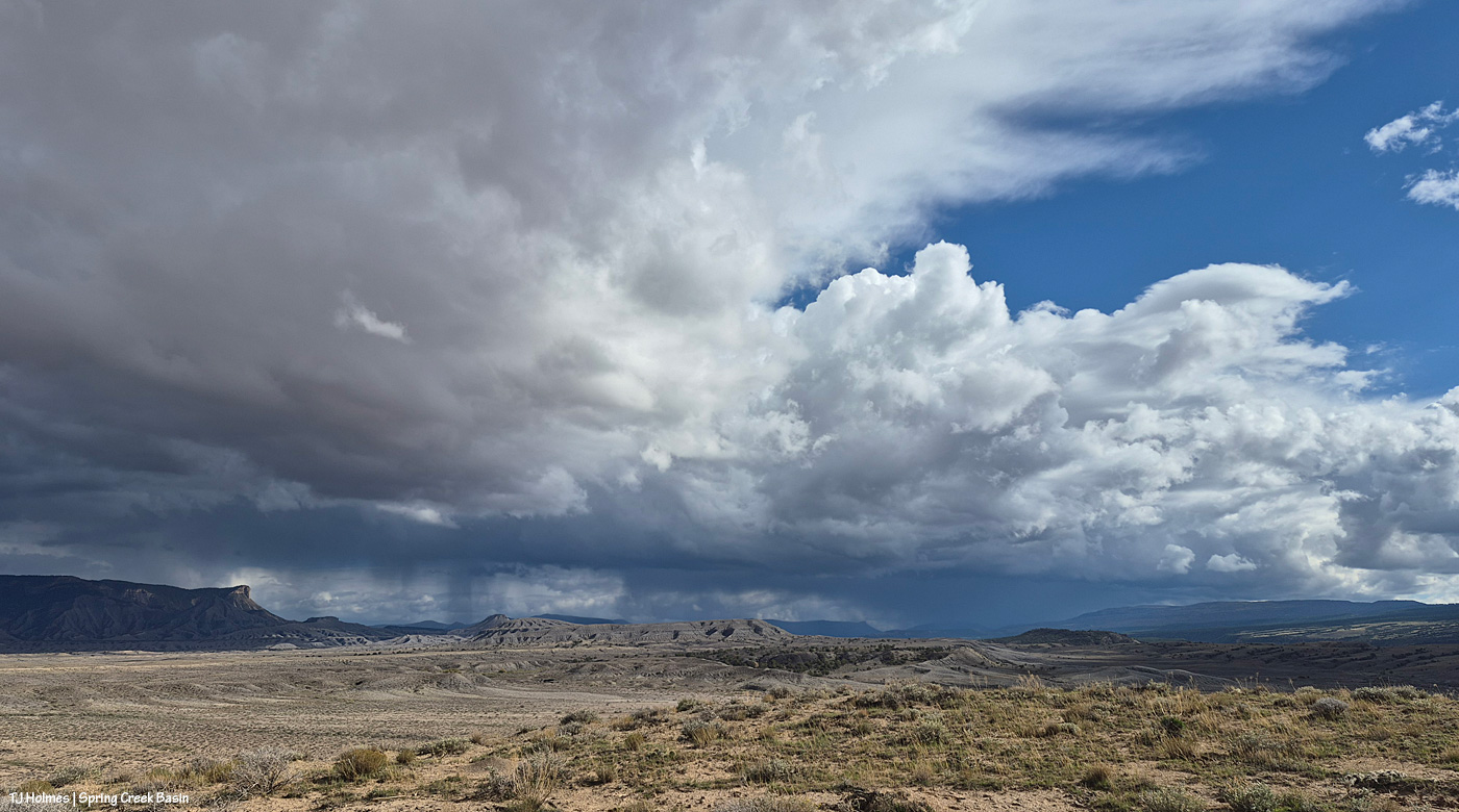
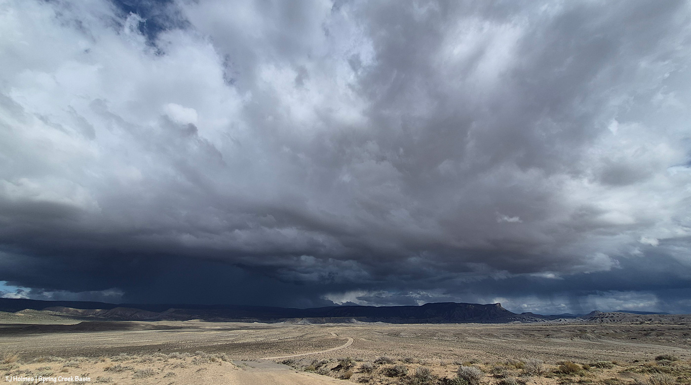
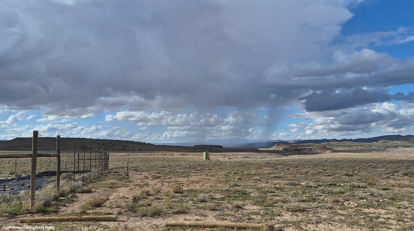
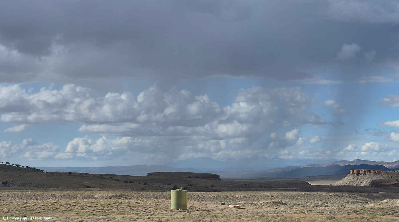
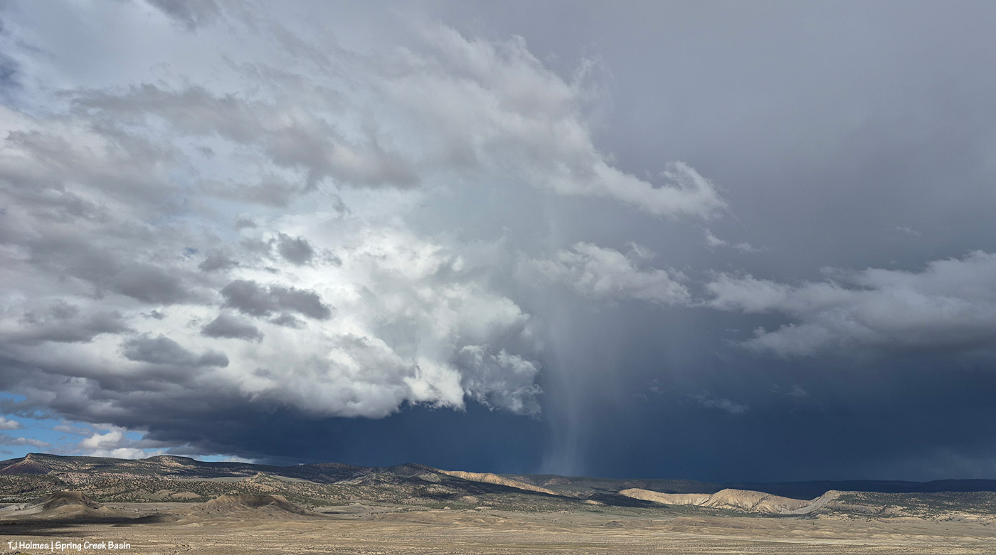
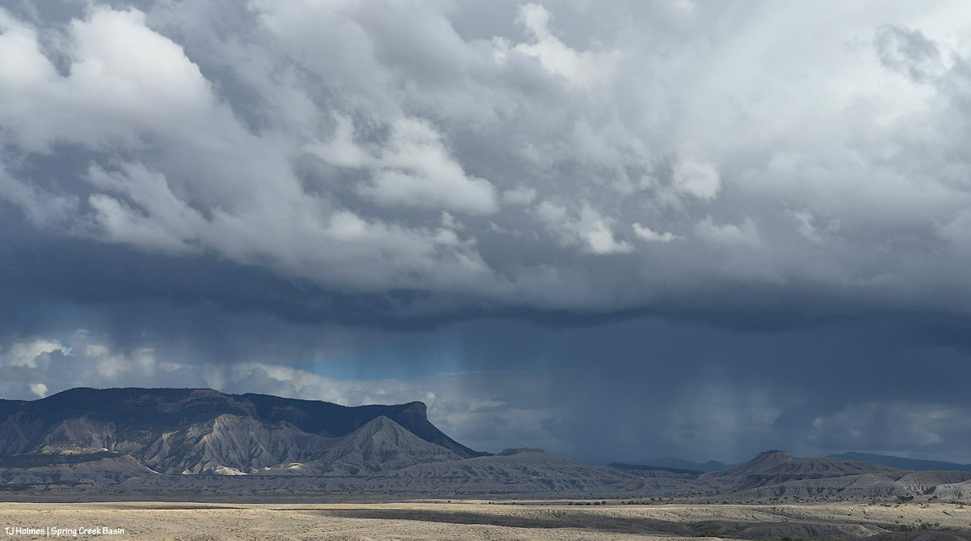
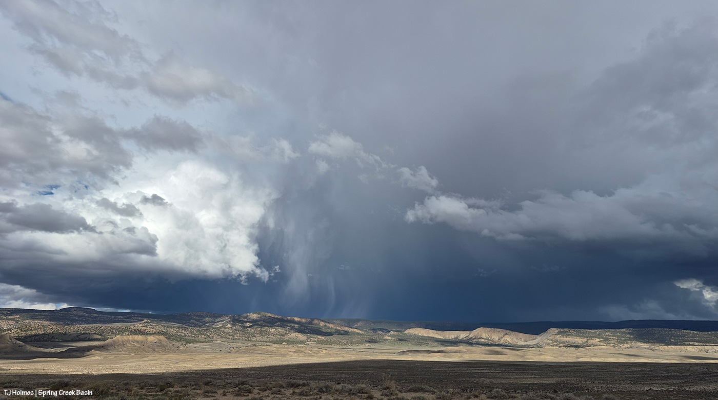
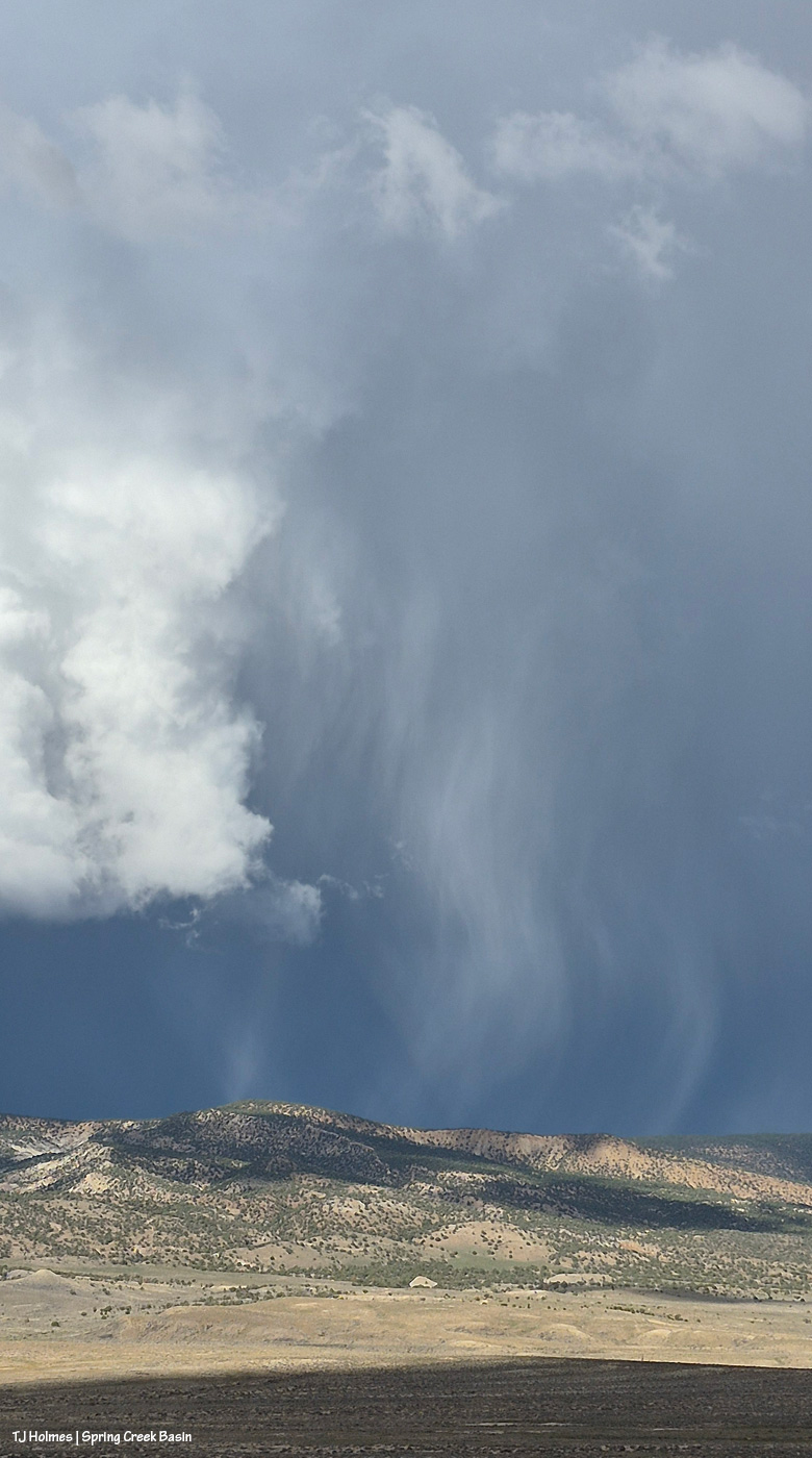
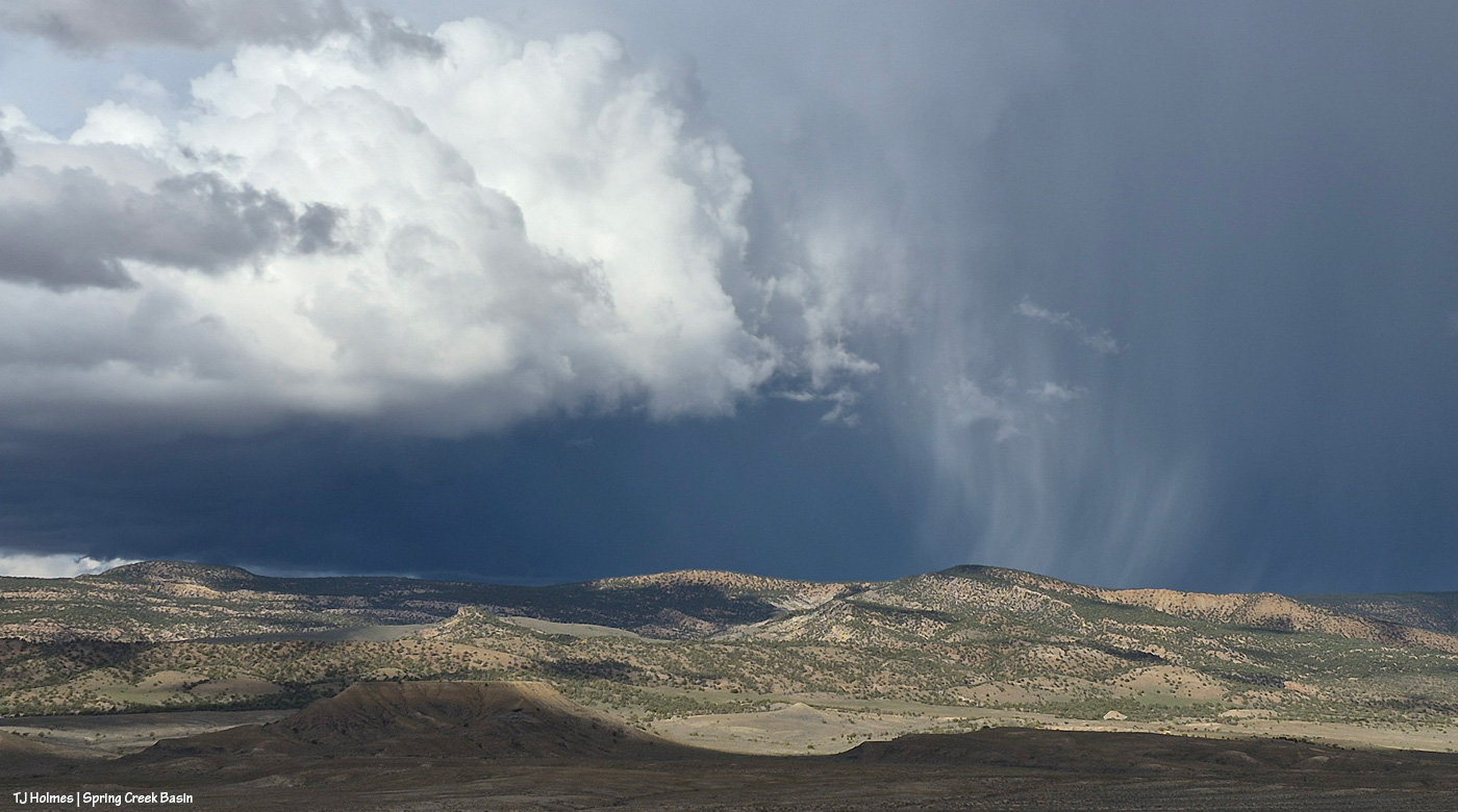
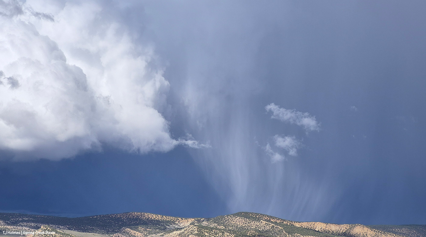
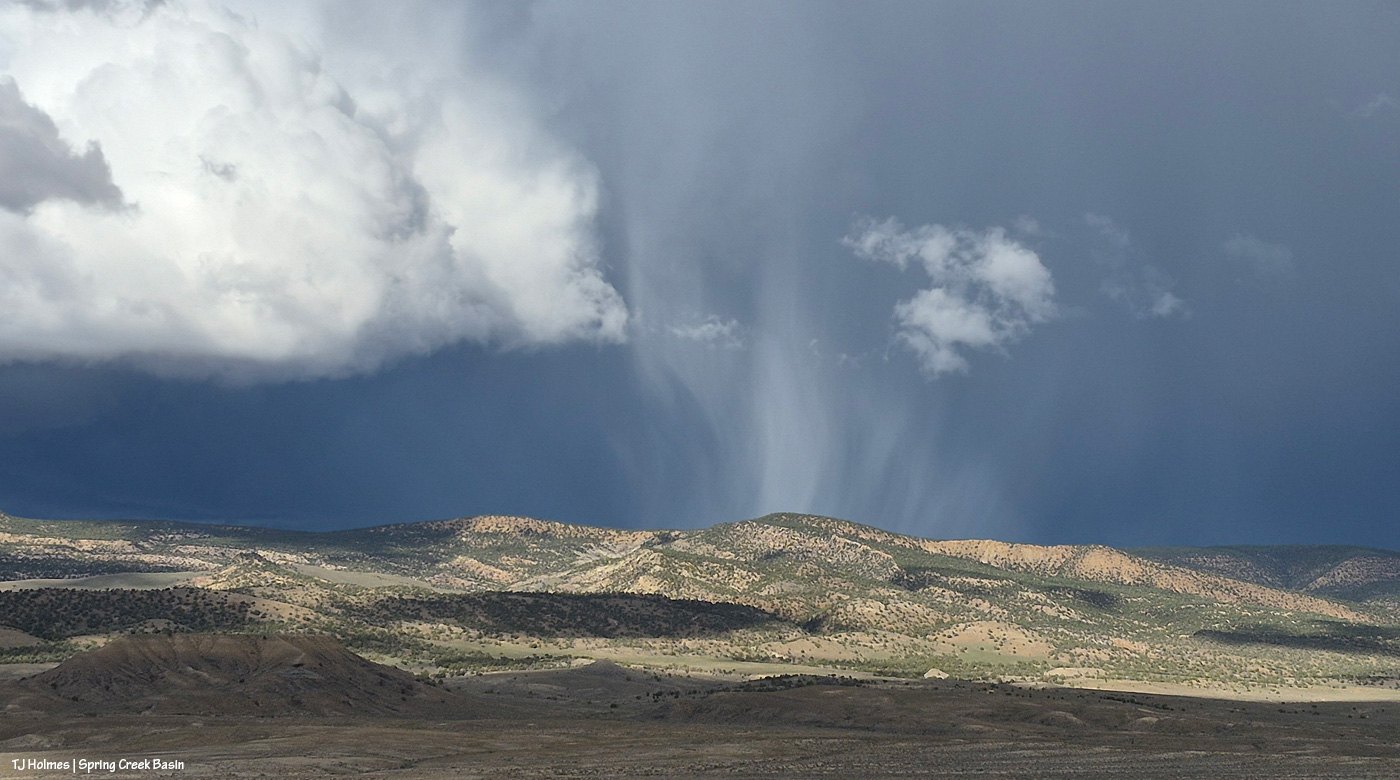
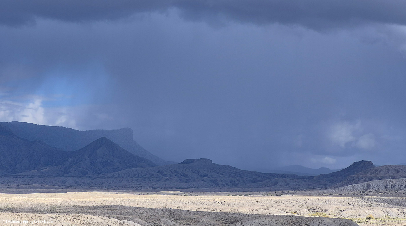
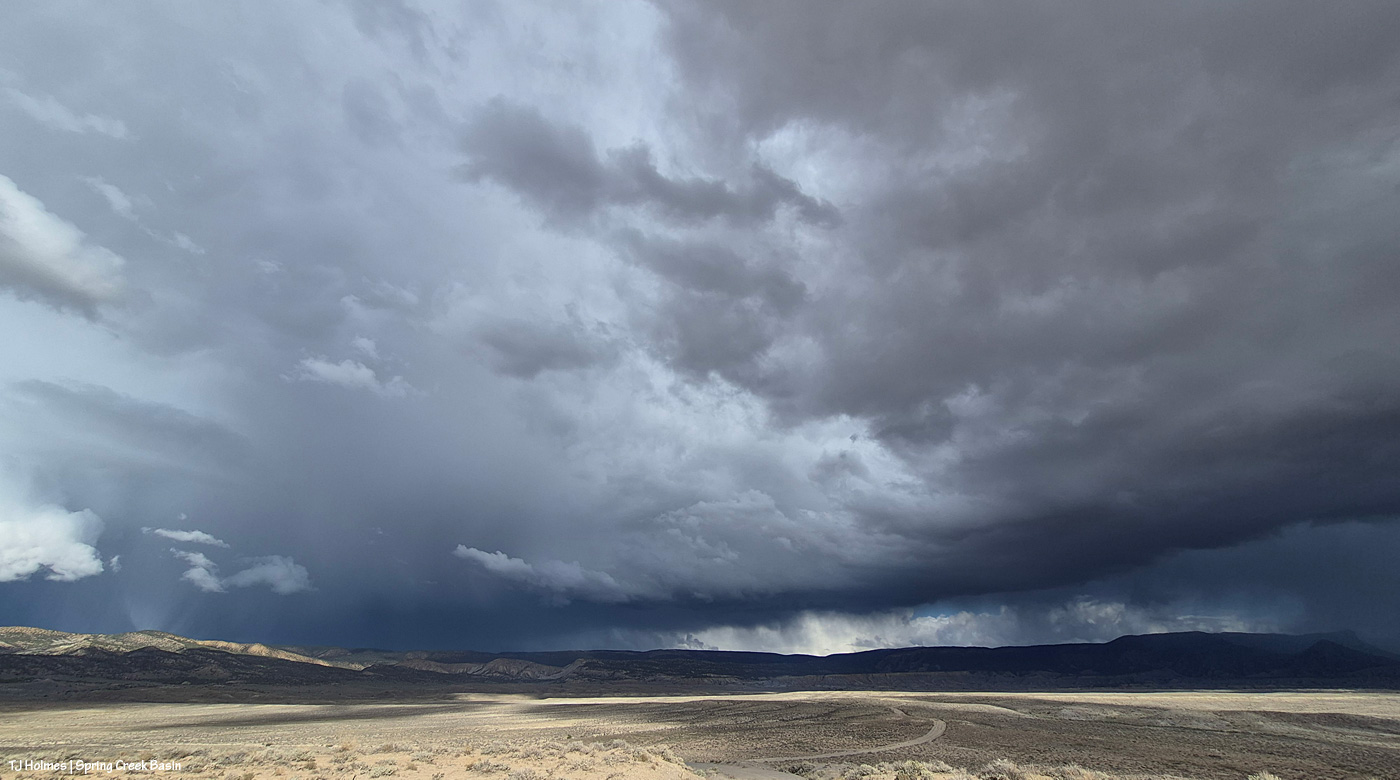
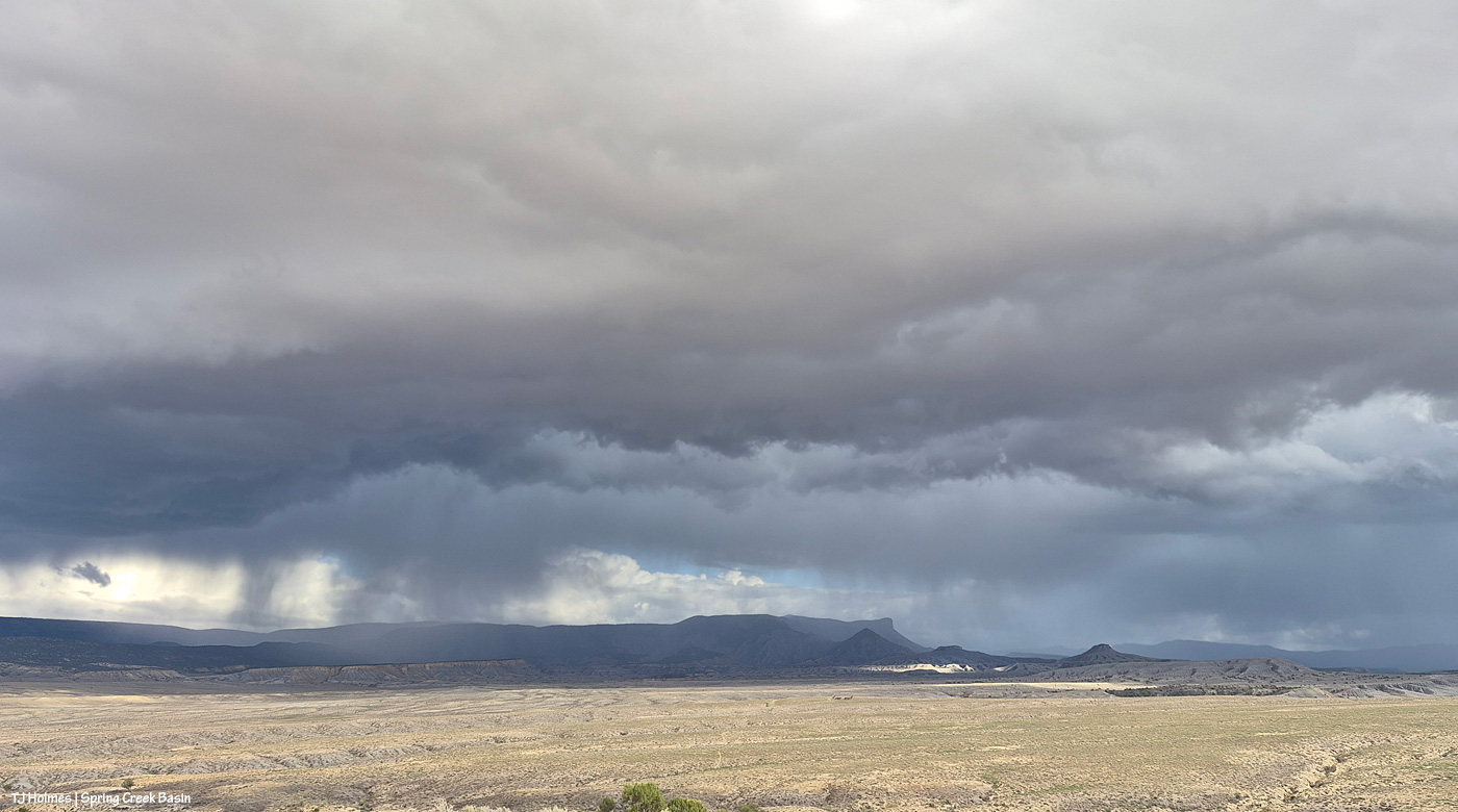
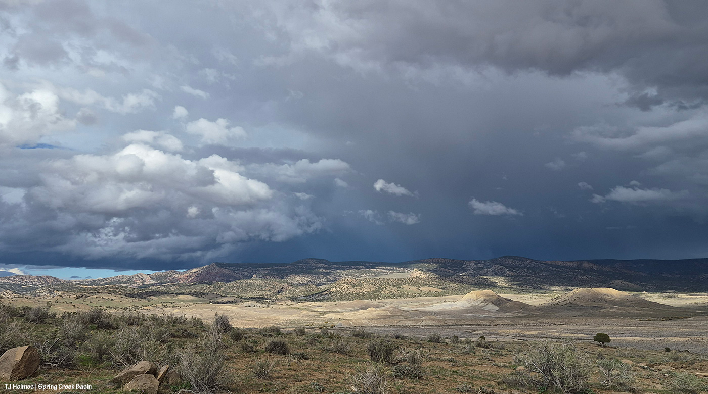
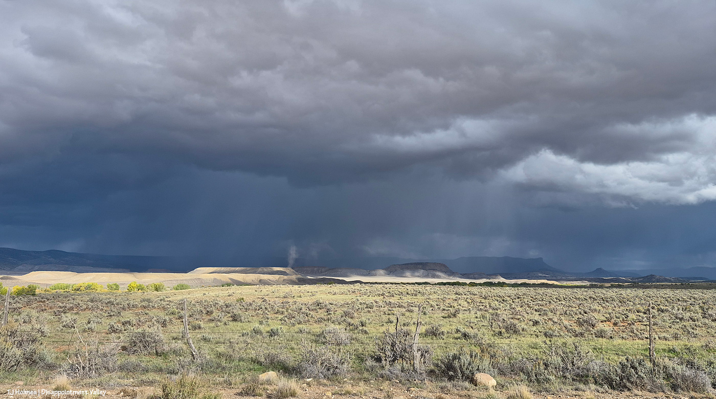
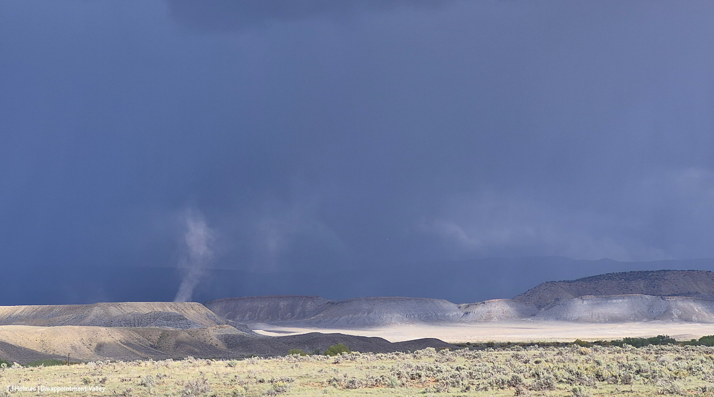
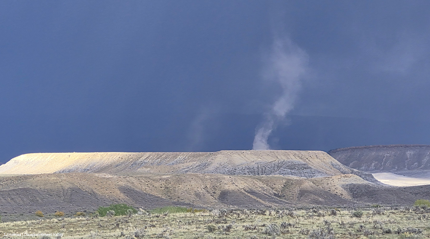
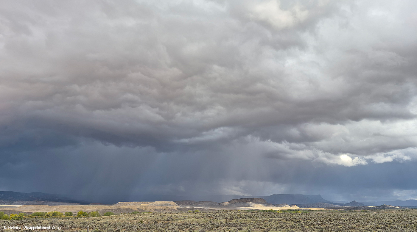
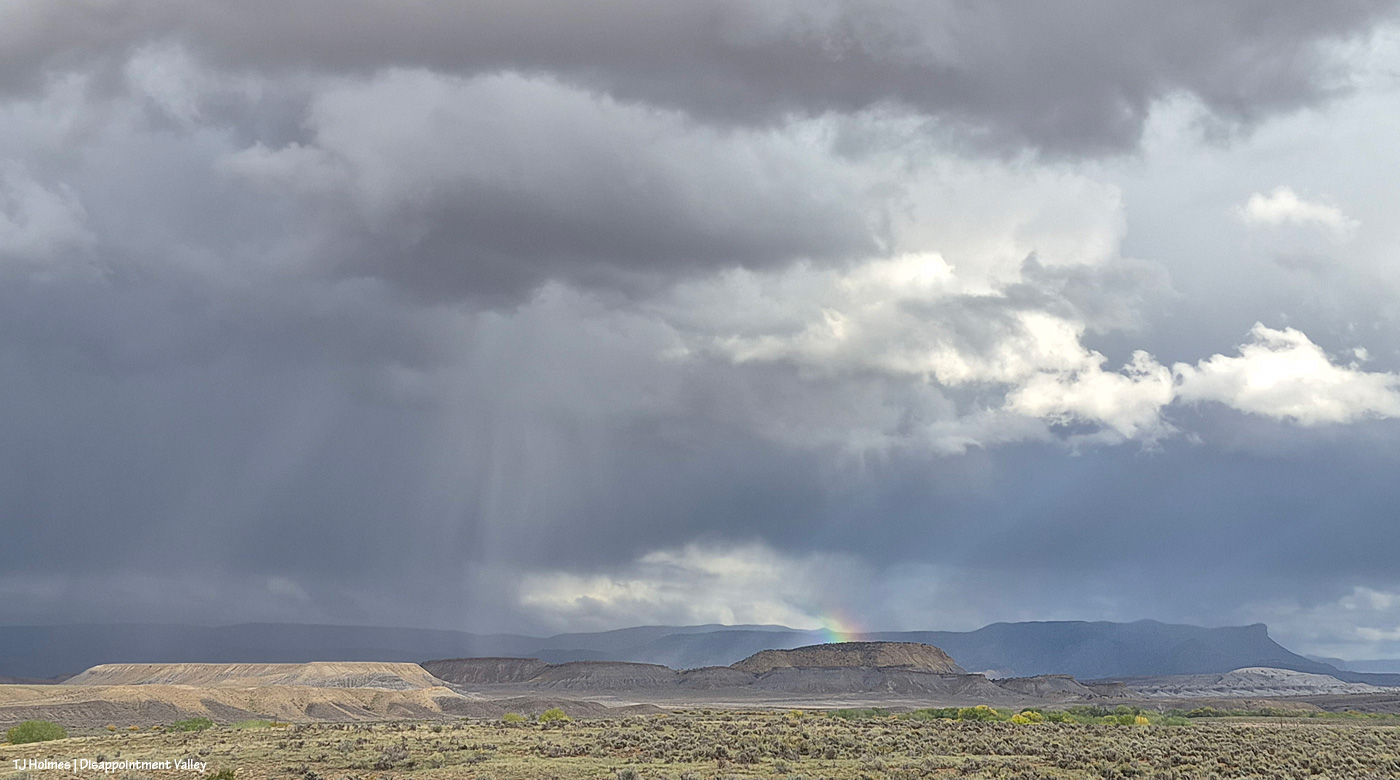
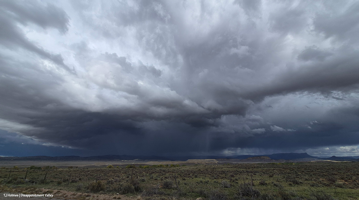
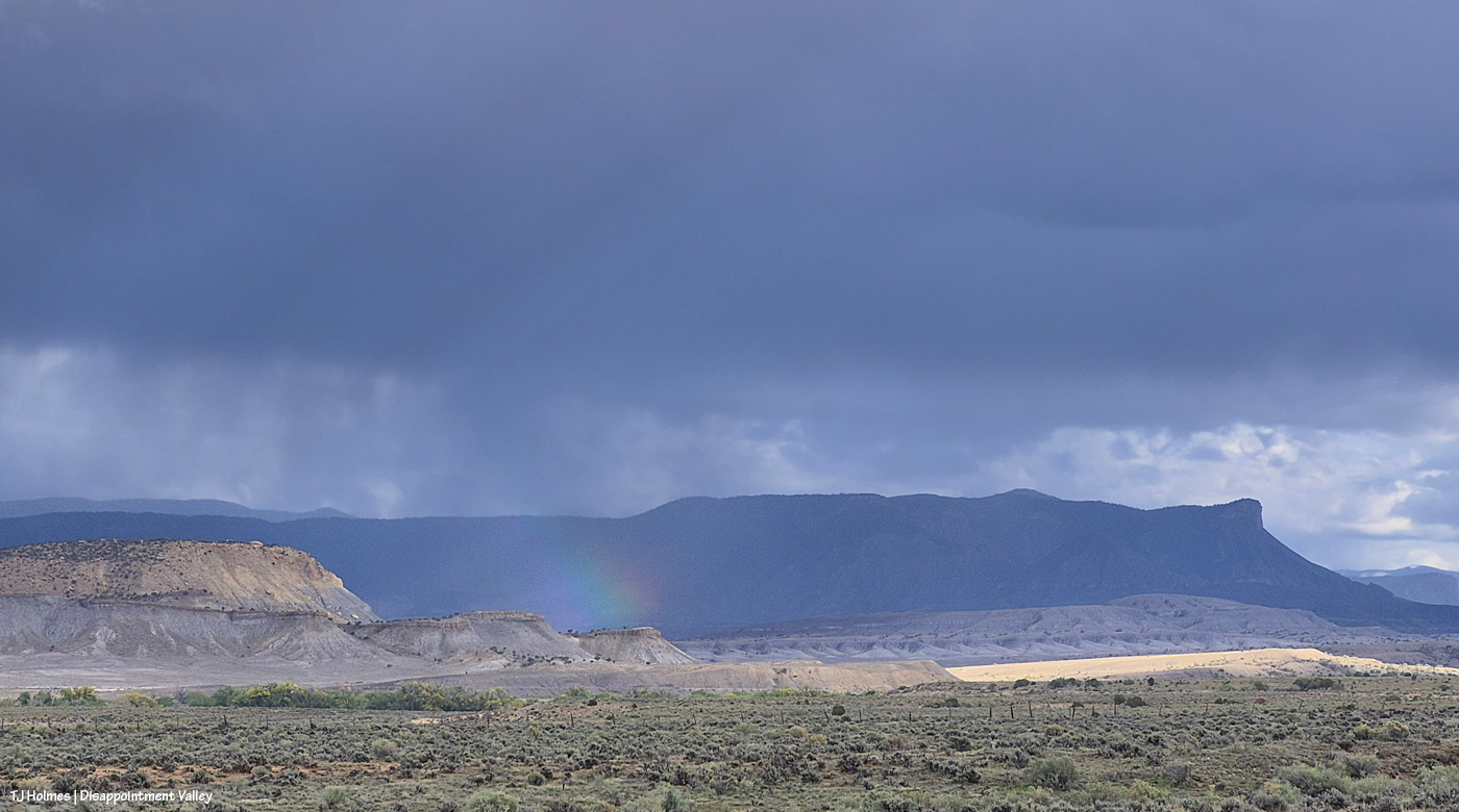
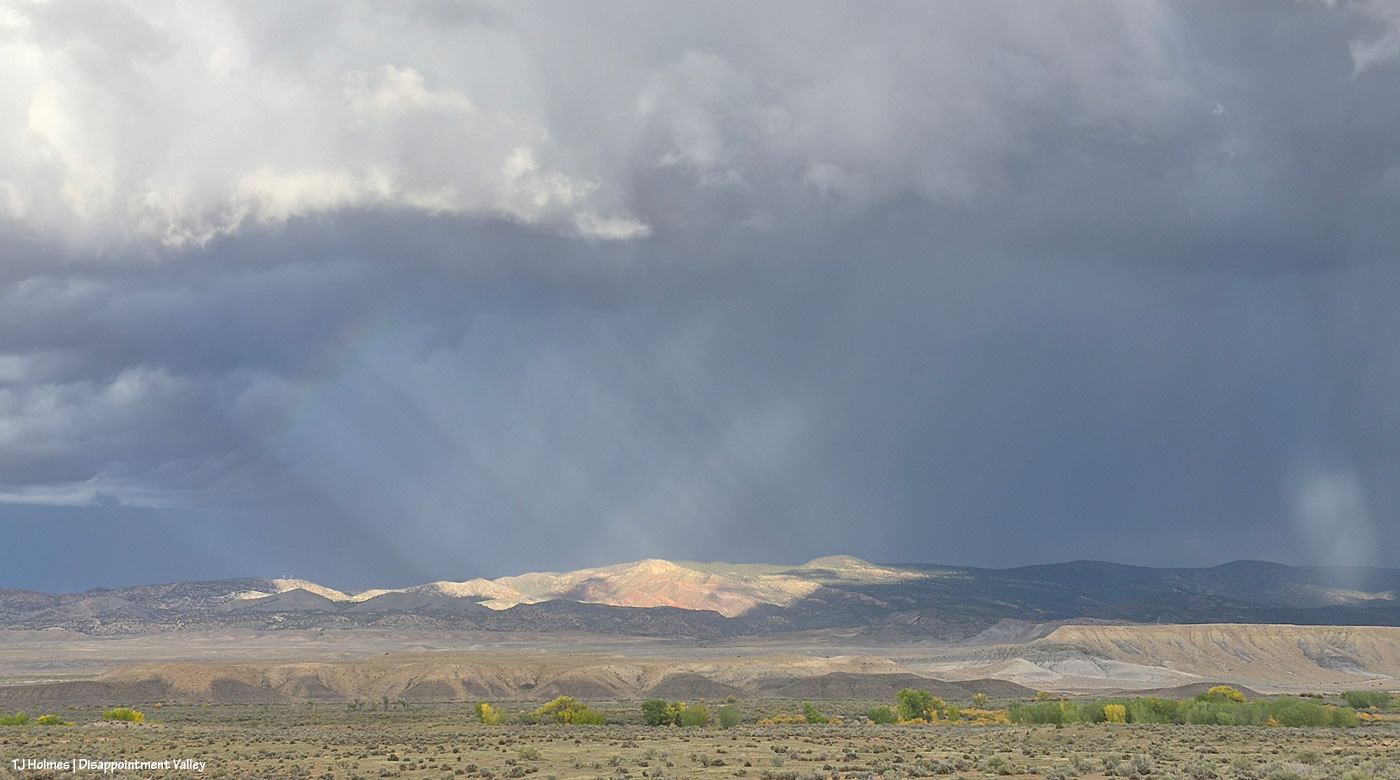
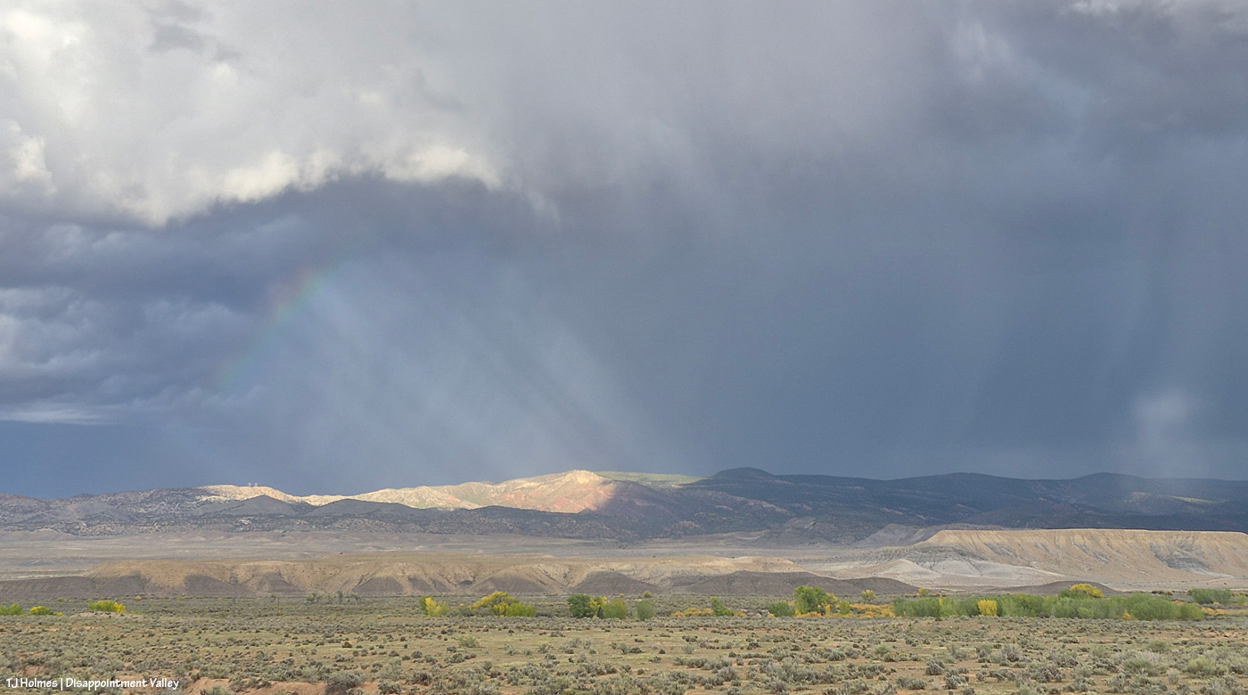
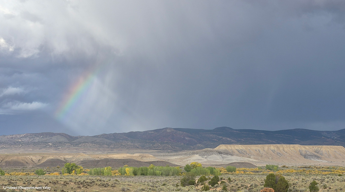
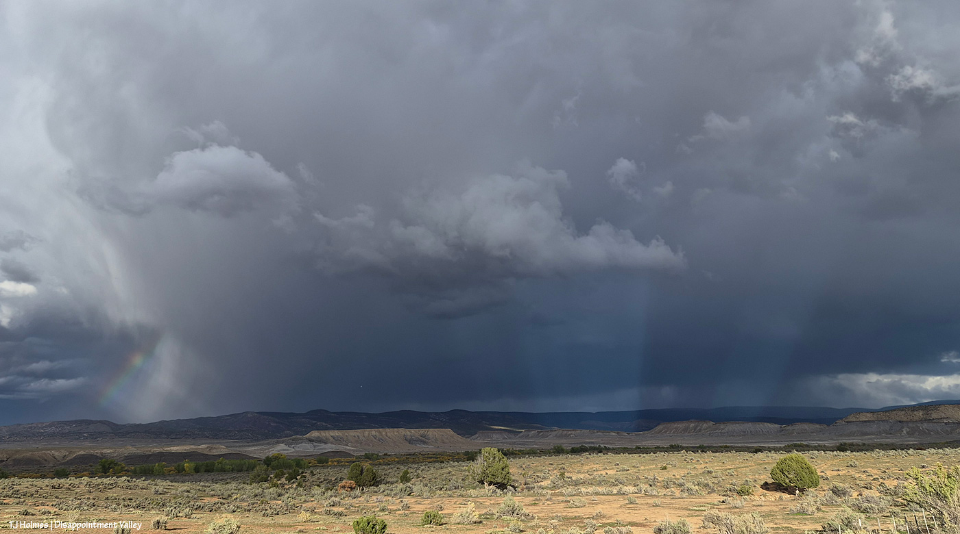
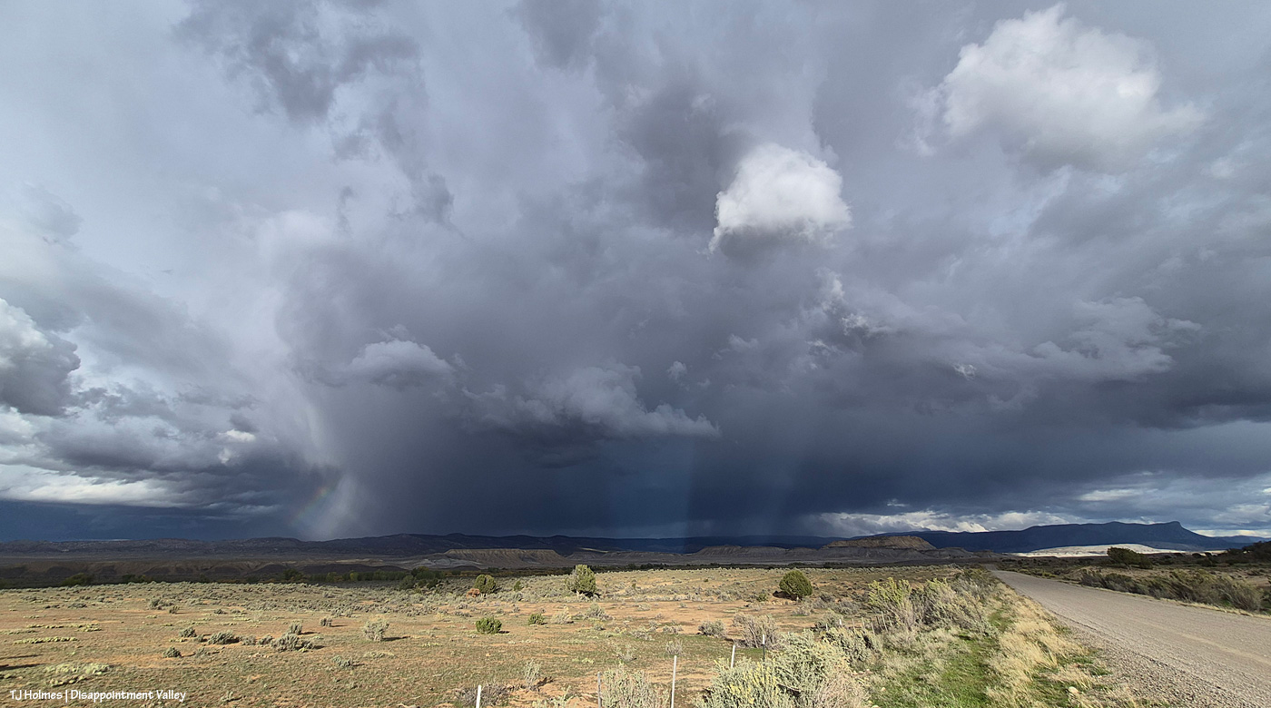
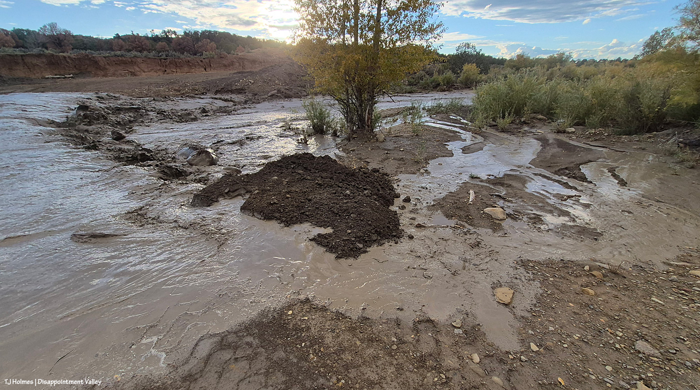
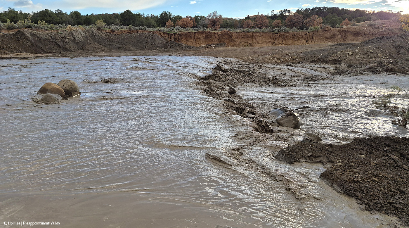
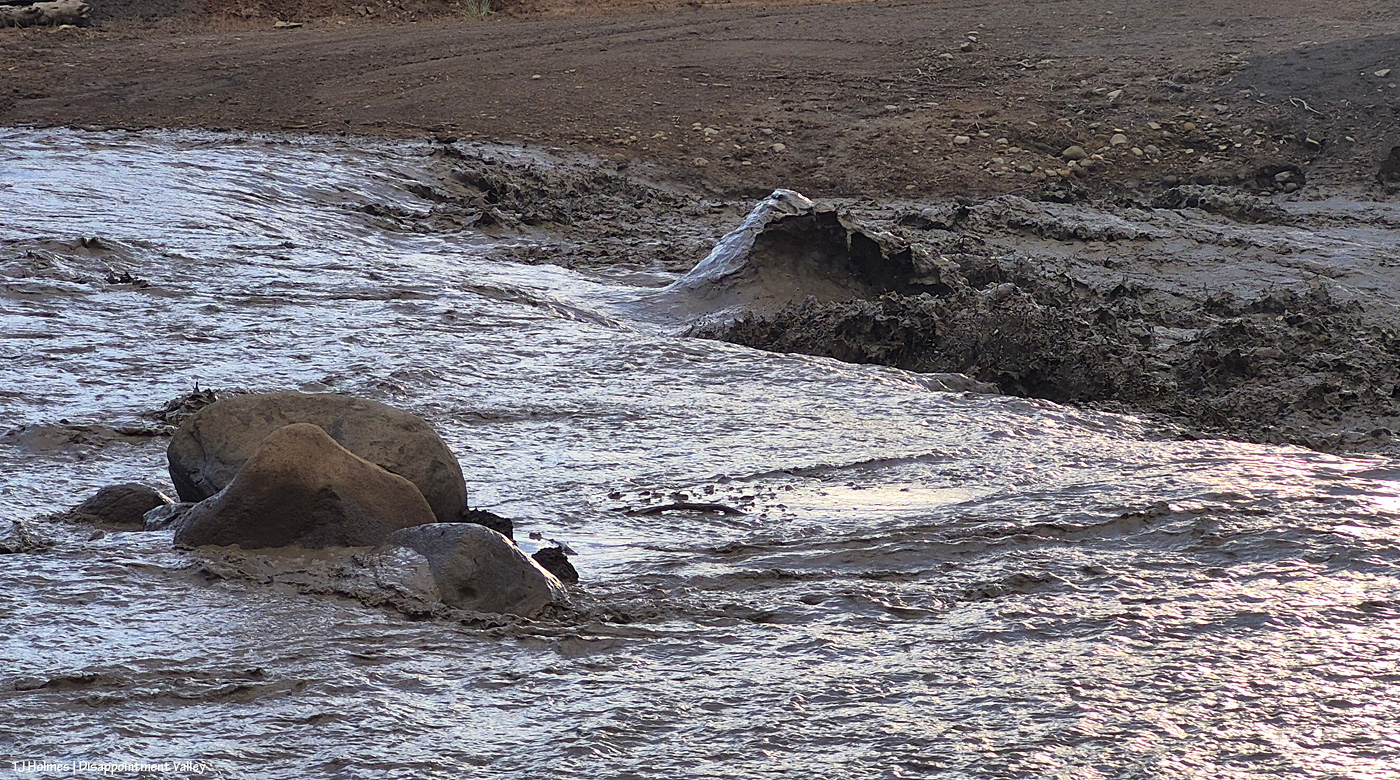
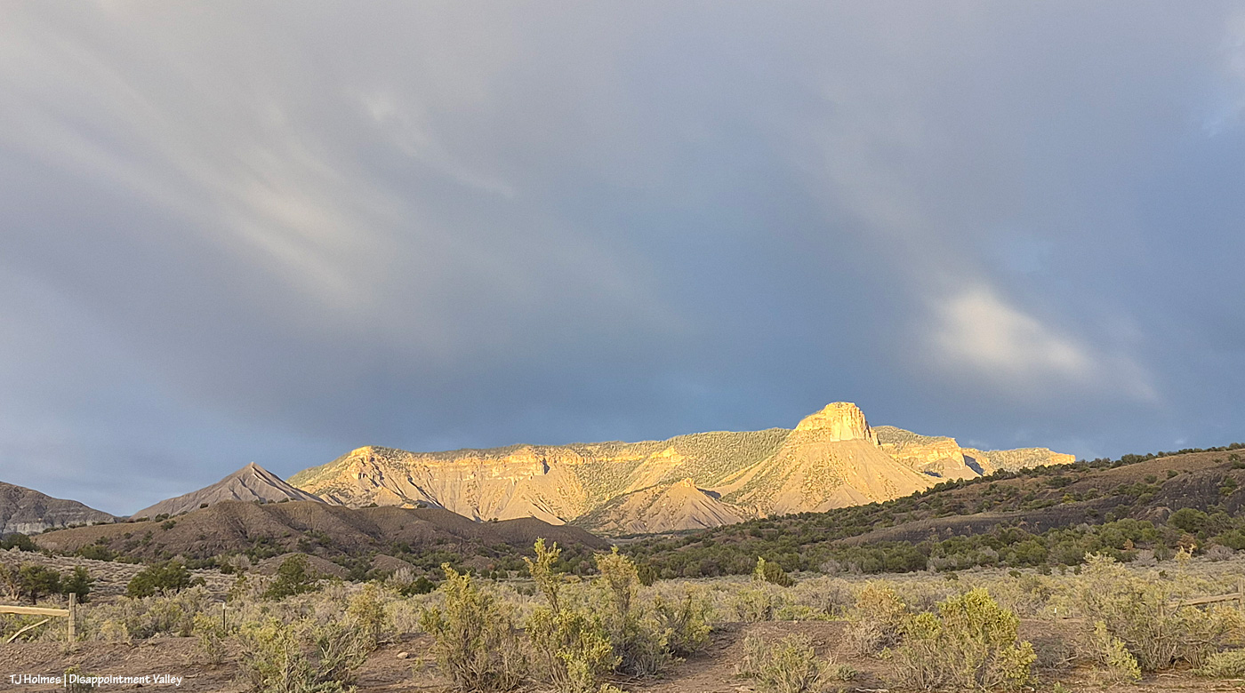
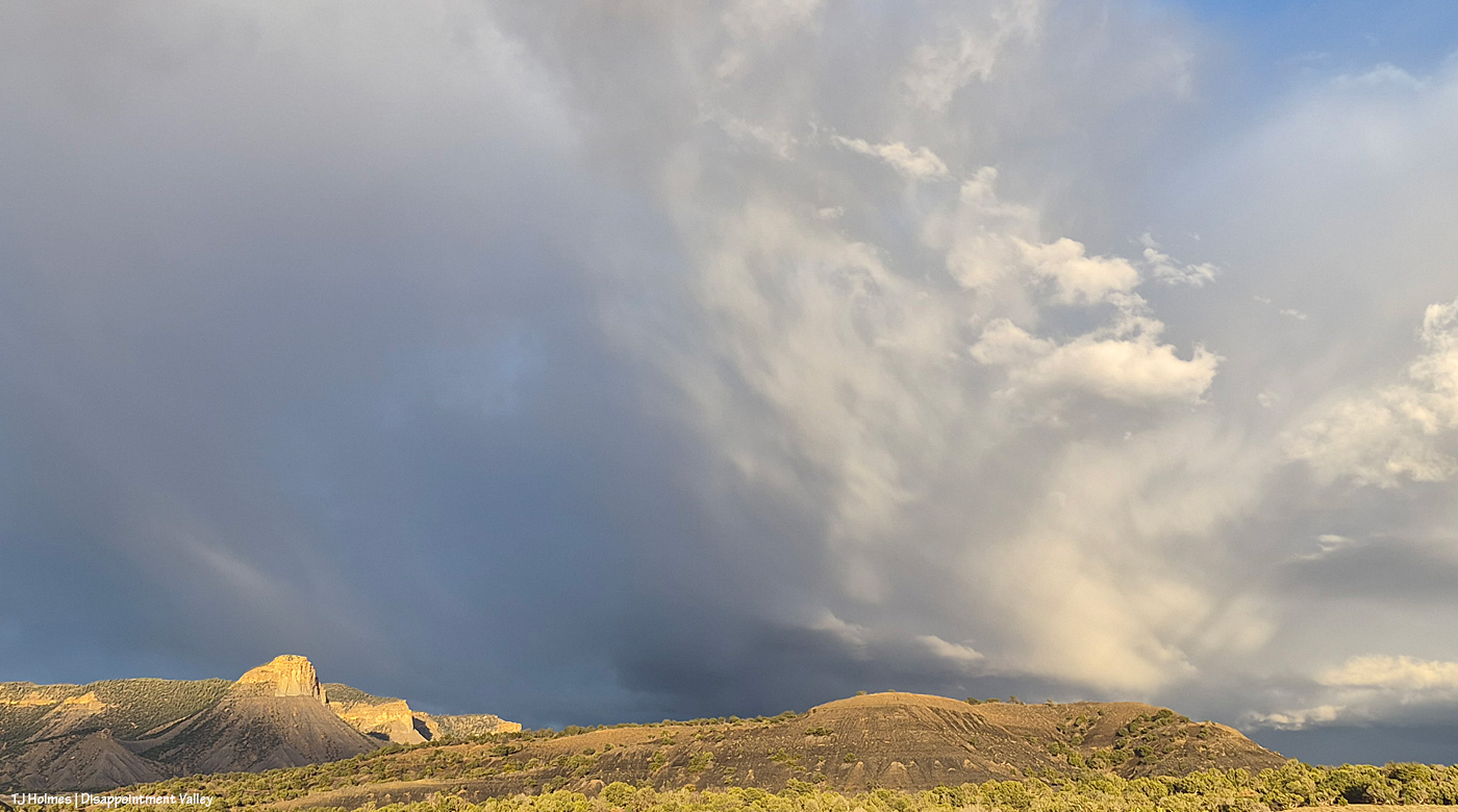
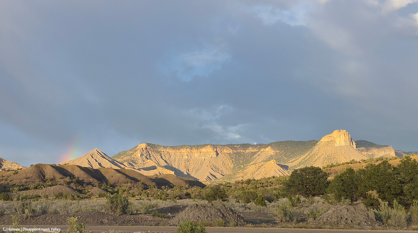
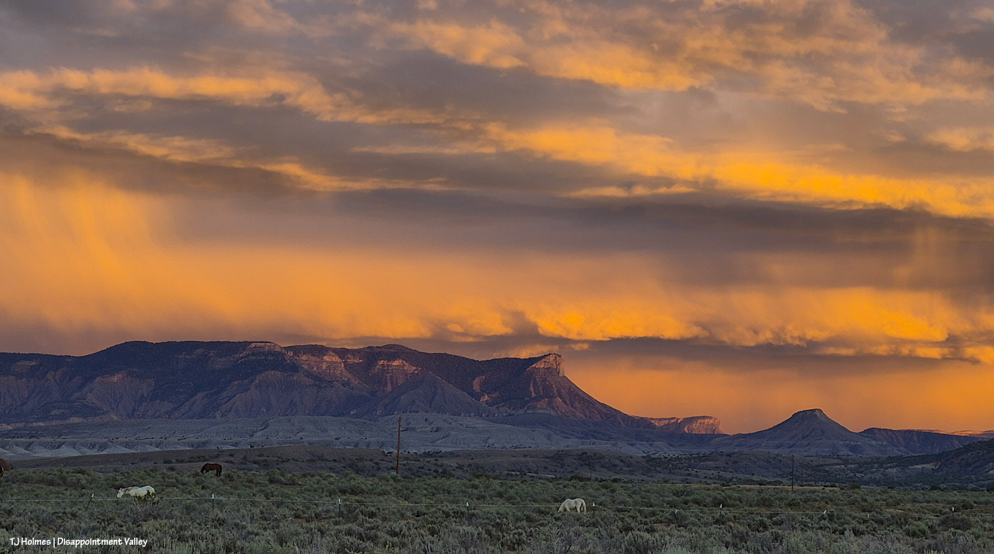
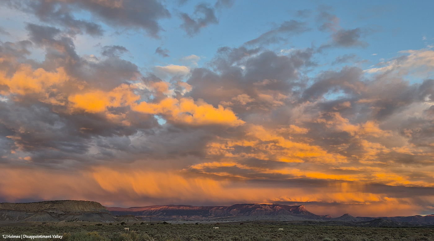
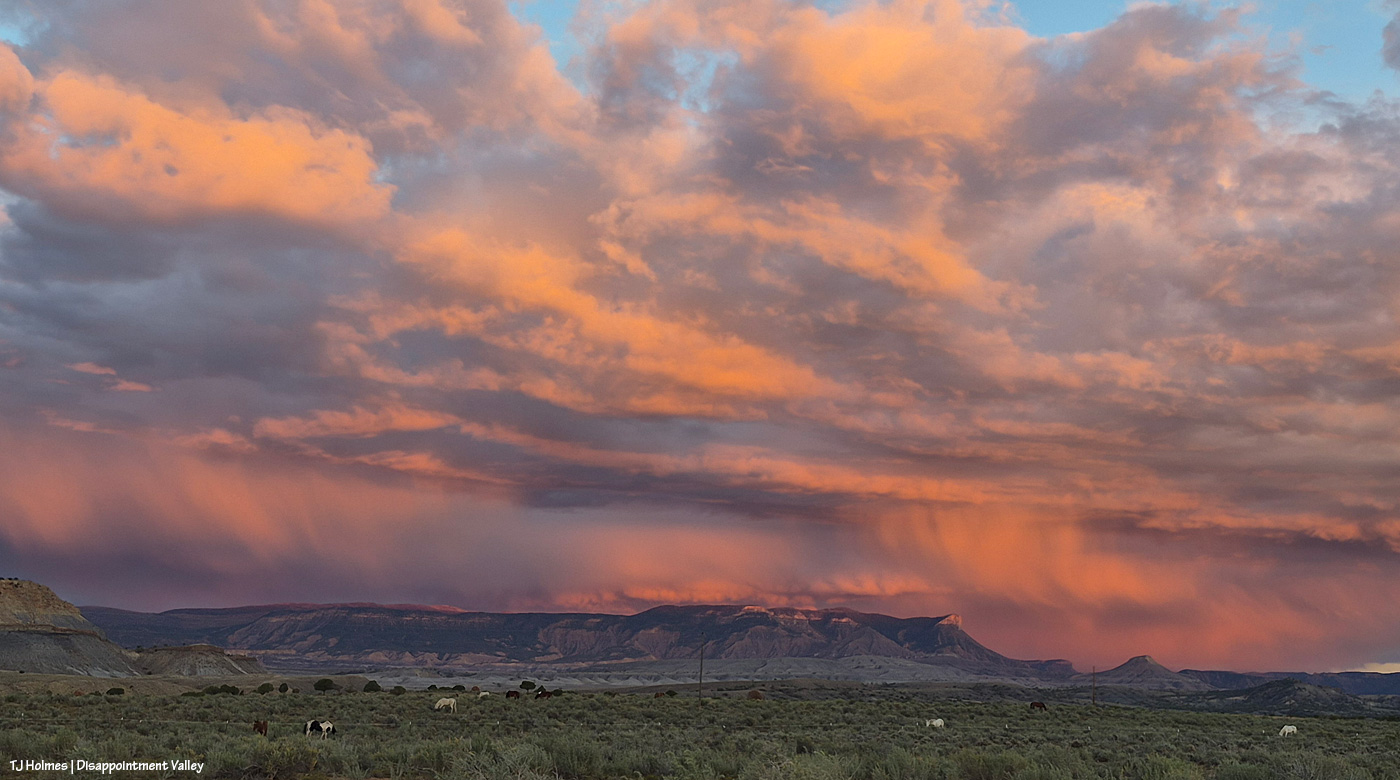
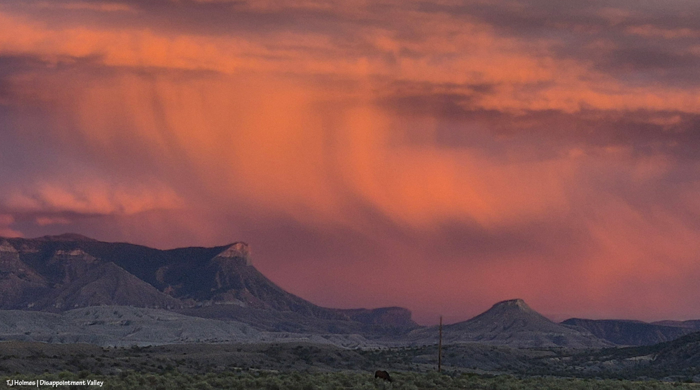
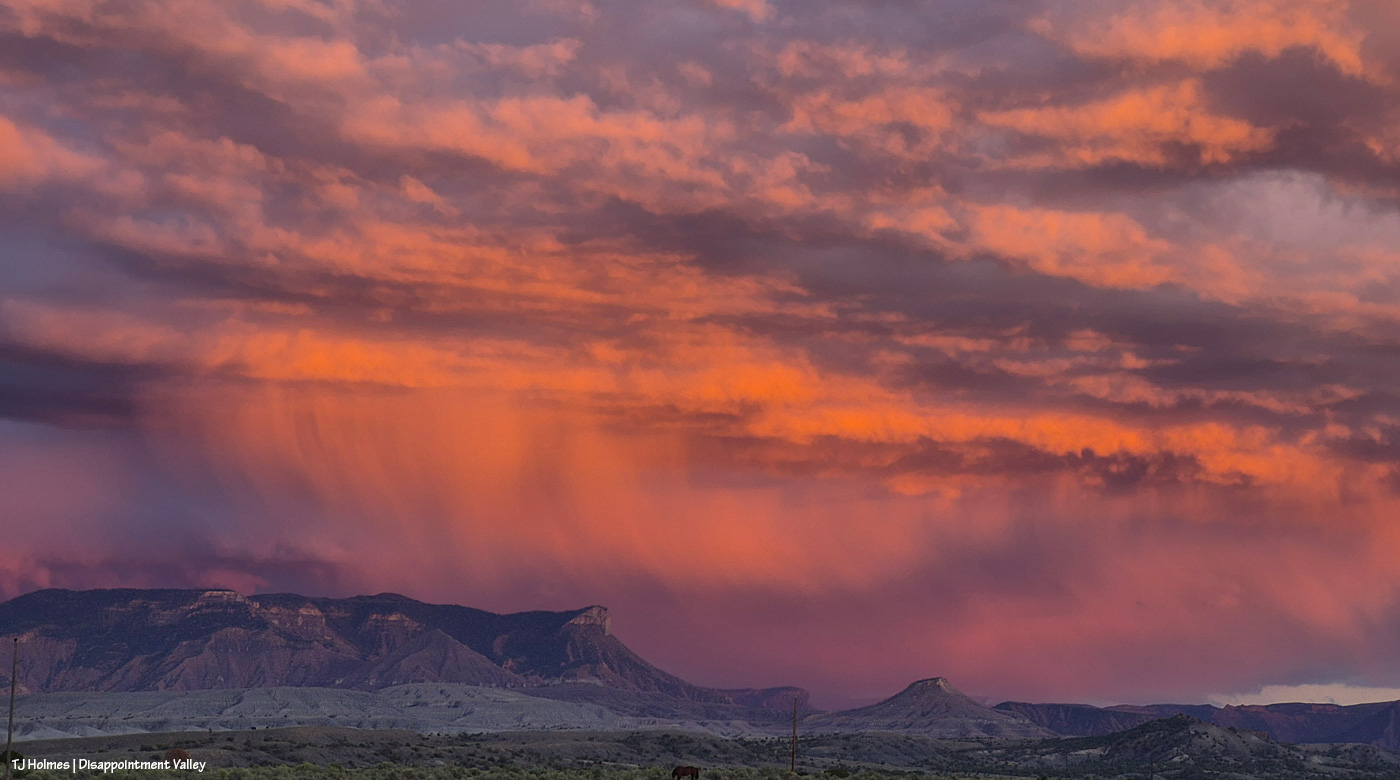
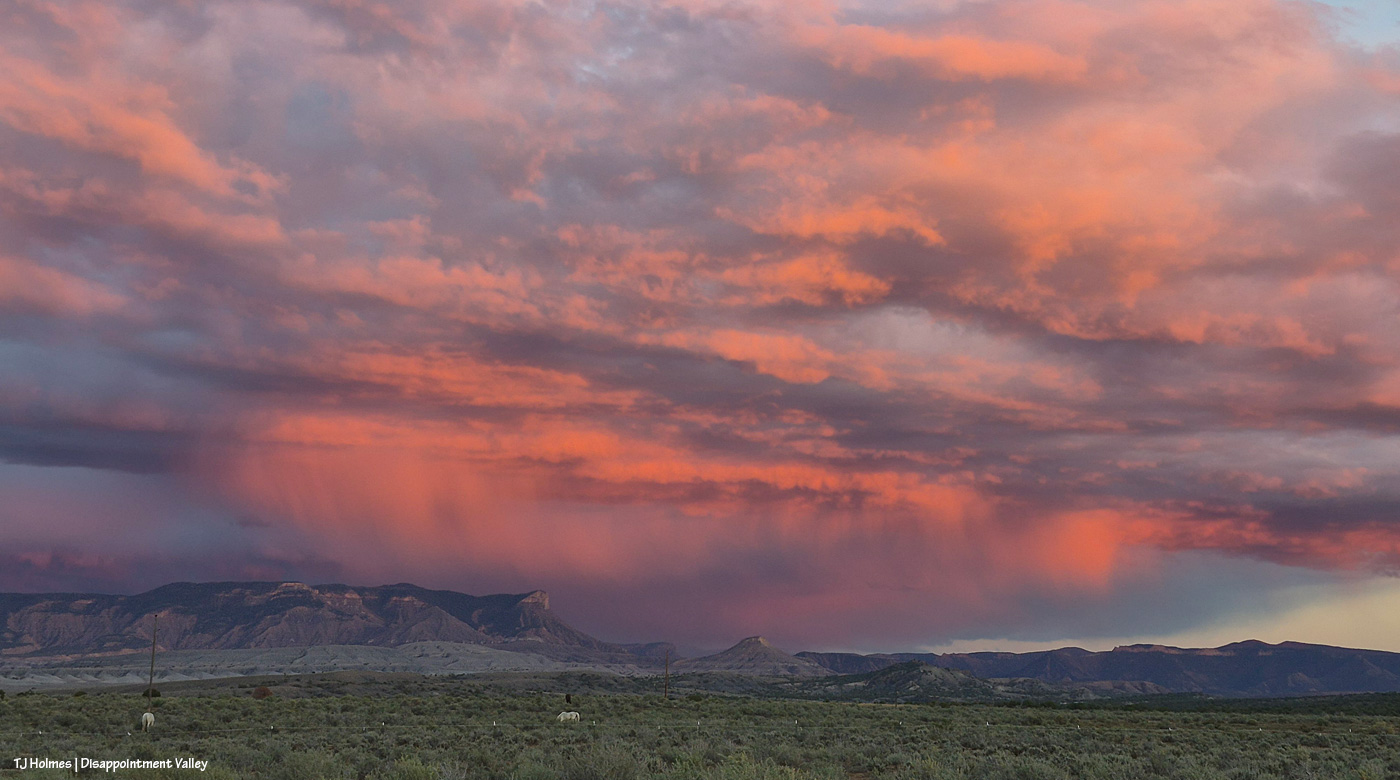
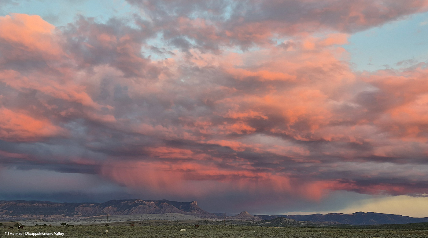
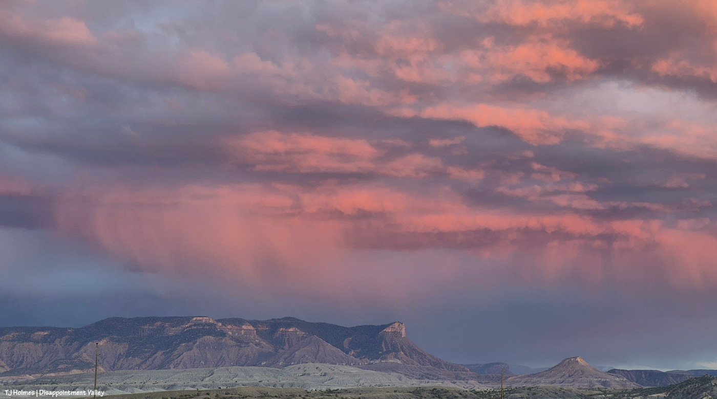
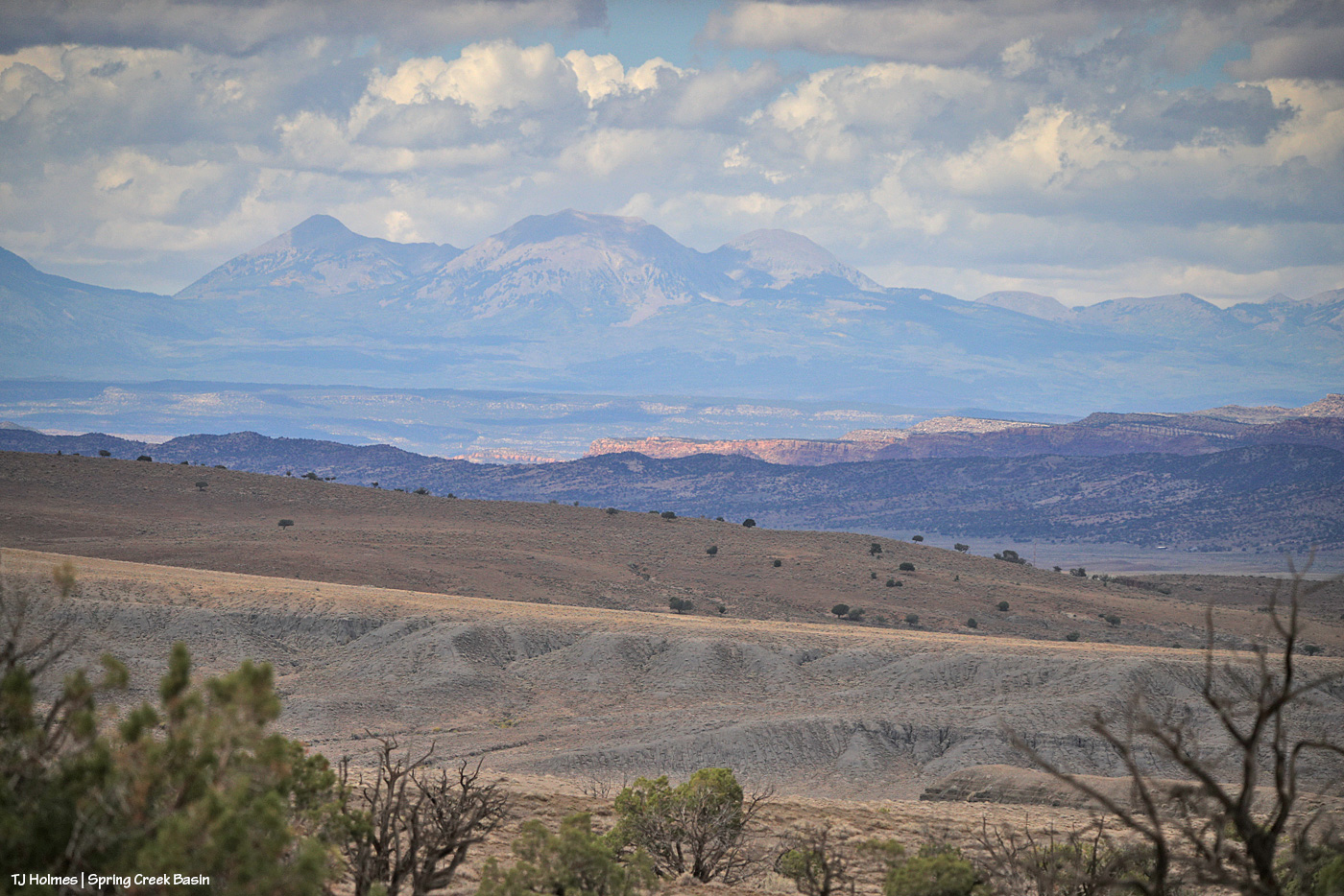
We got some rain. 🙂 (Zoom in to see actual drops of actual, falling rain!)

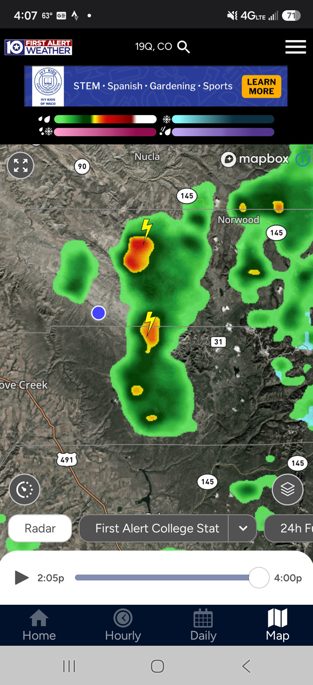
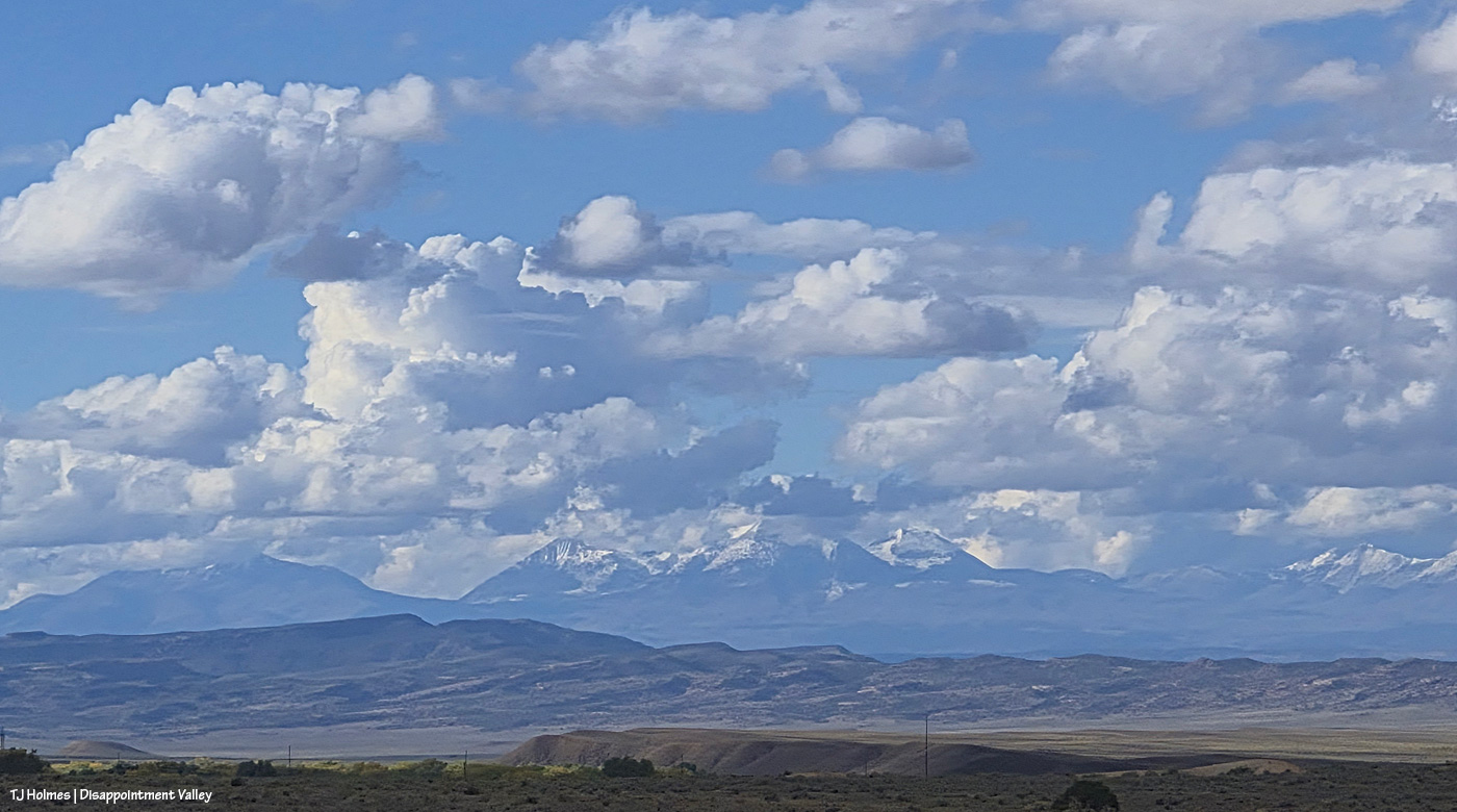
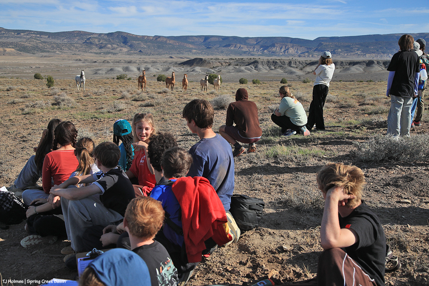
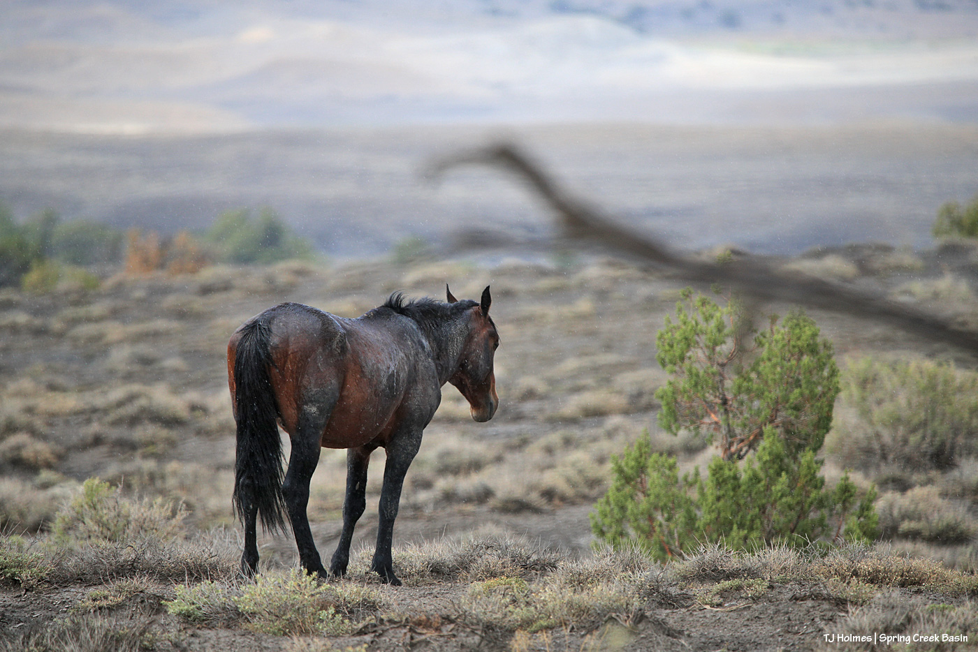
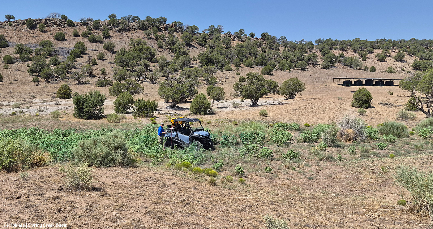
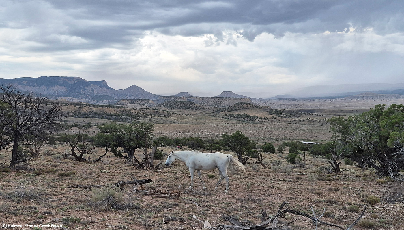
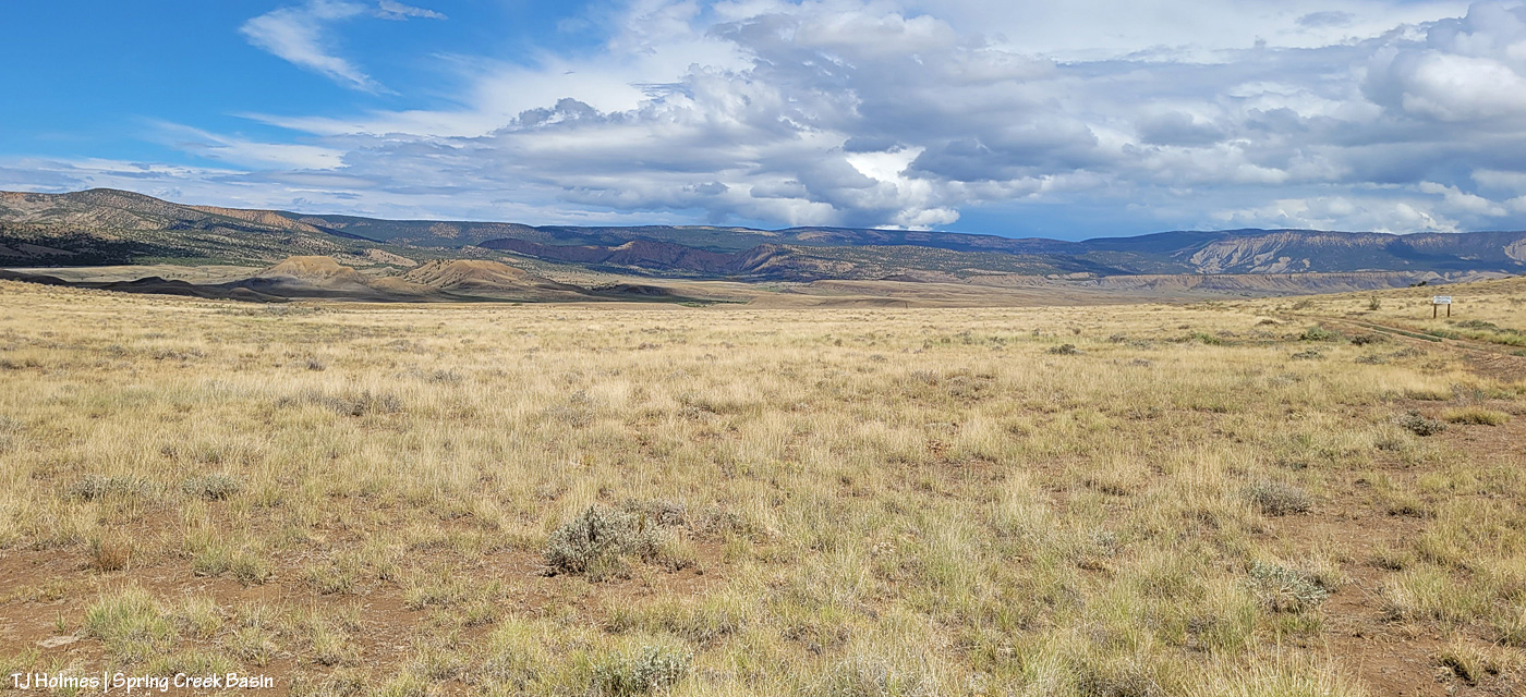
A proper toad-gagger across Disappointment Valley and across Spring Creek Basin. Zoom in above to see rain drops. … This, pictured, was NOT the toad-gagger; that happened much earlier (before daylight). This was the third or fourth wave. A non-stop symphony of thunder banging the drums across the sky, and it was … *magnificent*.

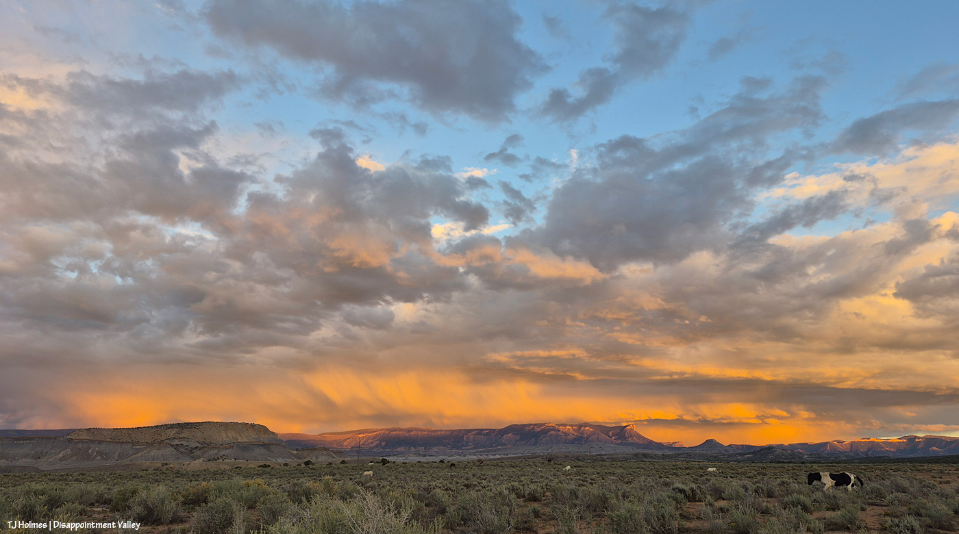
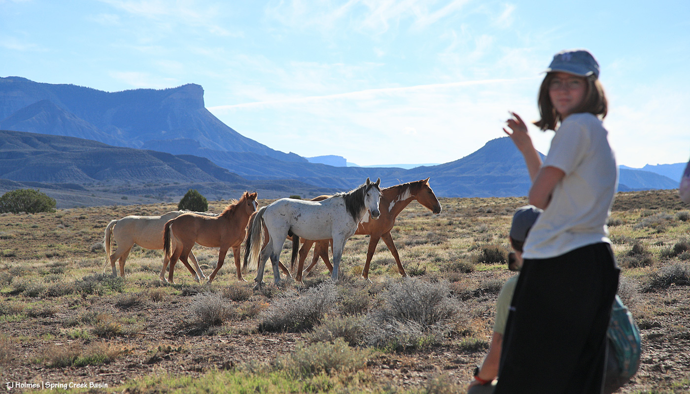
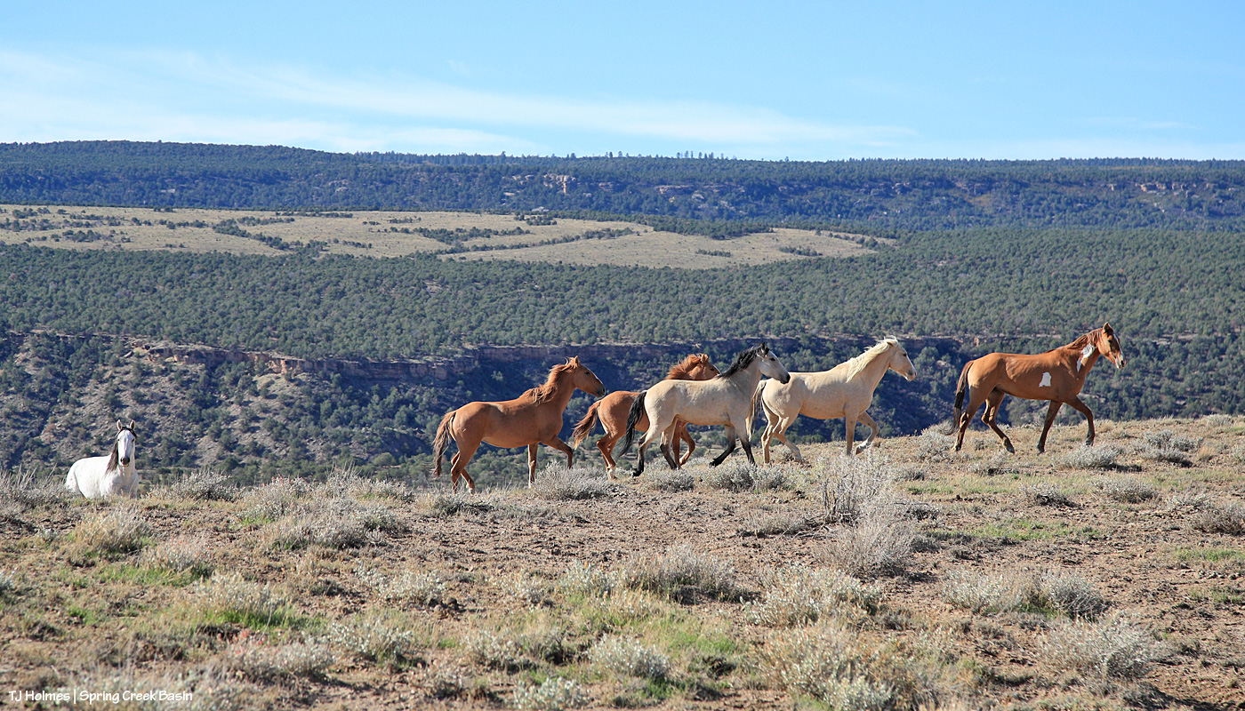
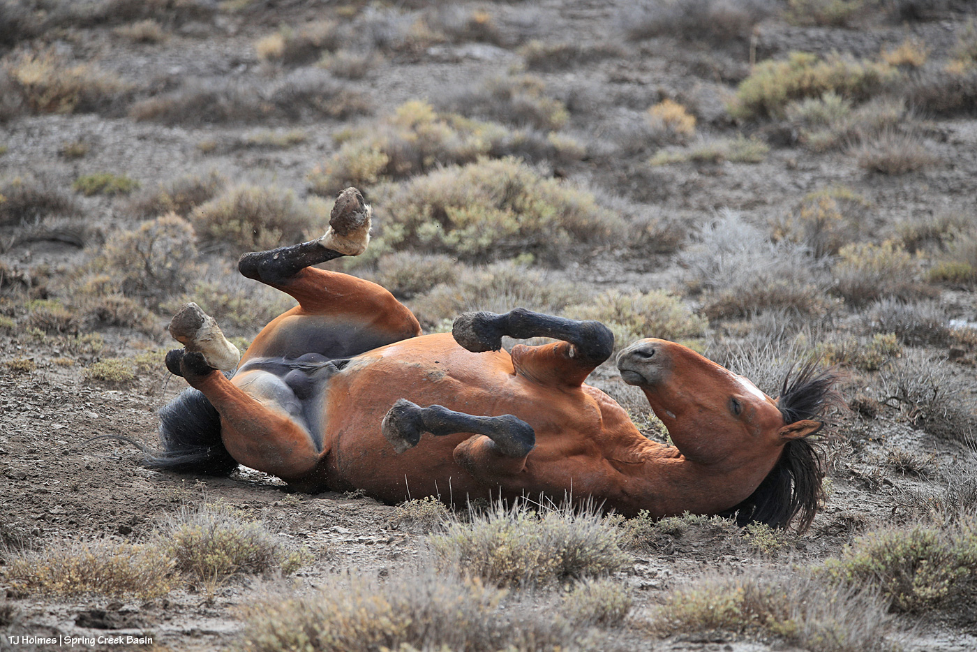
THE best thing to do after getting rained on? Roll! Almost all the horses rolled when the rain stopped and they wandered out to resume browsing.

Ahhhh. Fresh.

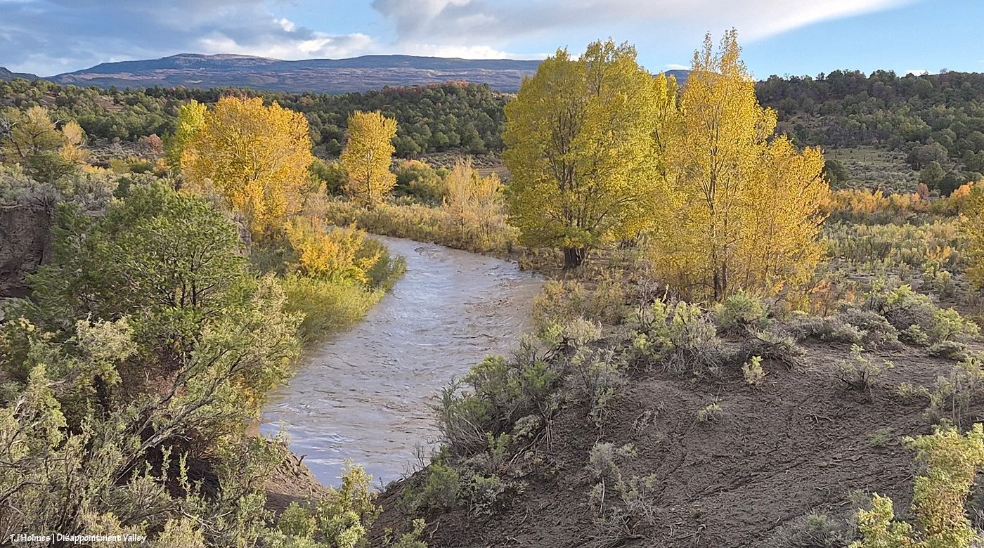
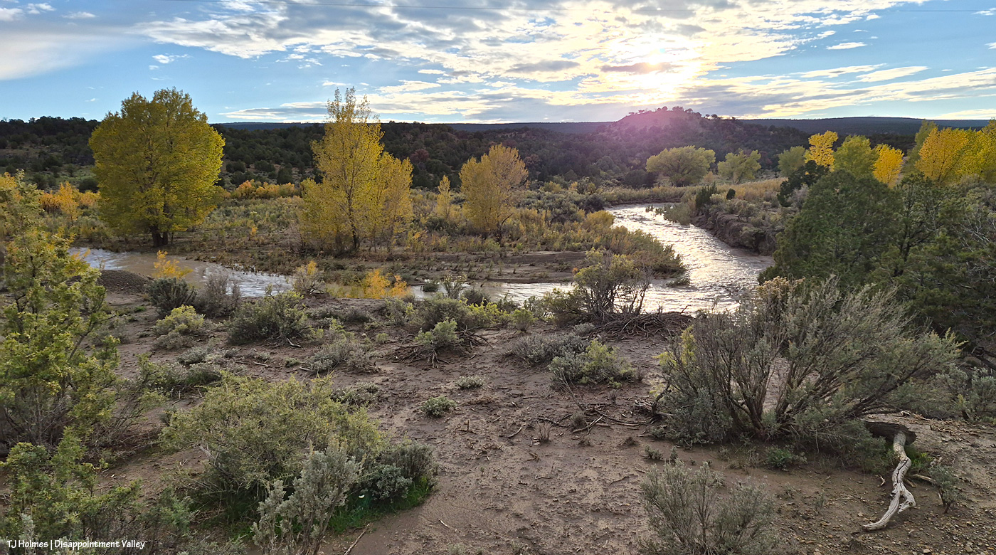
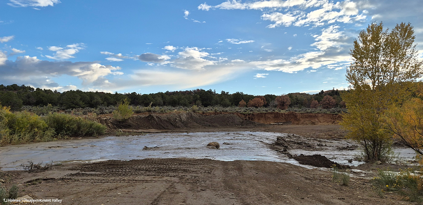
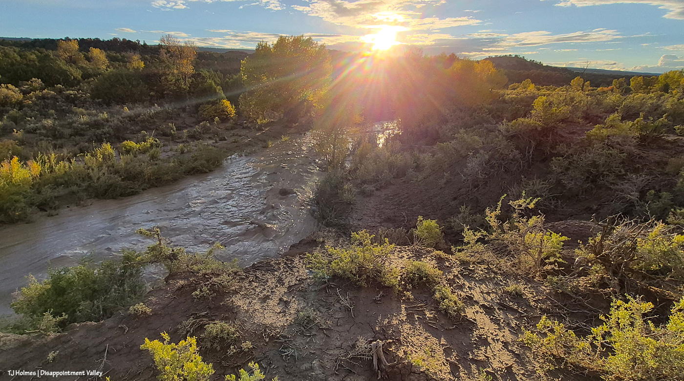
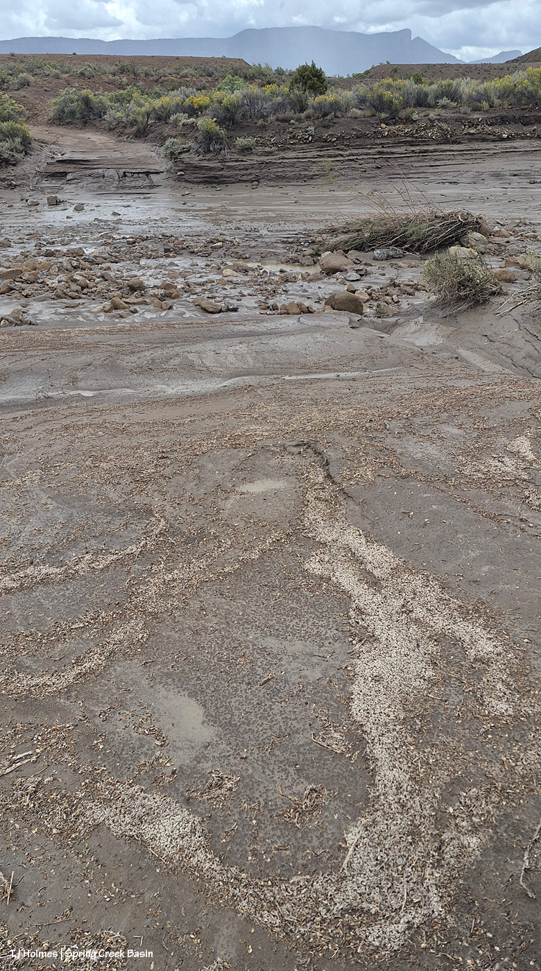
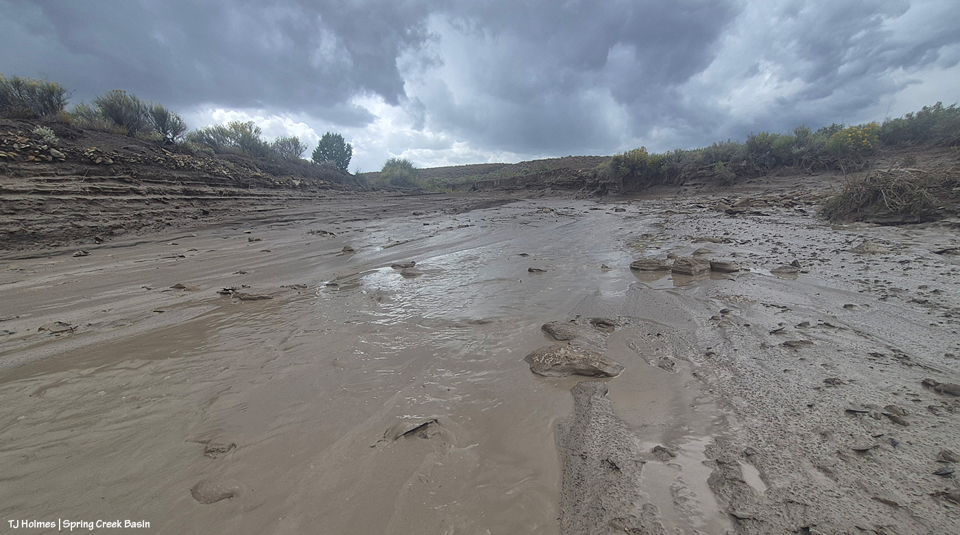
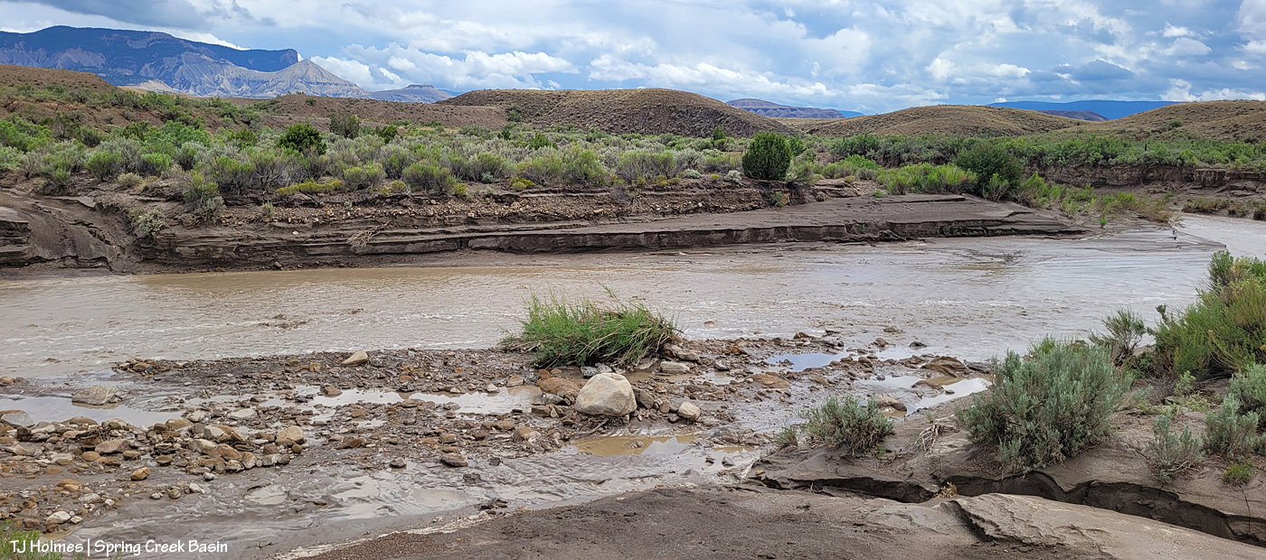
Spring Creek was still running, though low, at the first crossing, but clearly it had run high! By the time I got there, the water definitely was slowing. I’d gone first to where Spring Creek runs under Road 19Q (Disappointment Road), before I went to Spring Creek Basin, and it was rolling along then and there like a proper creek).

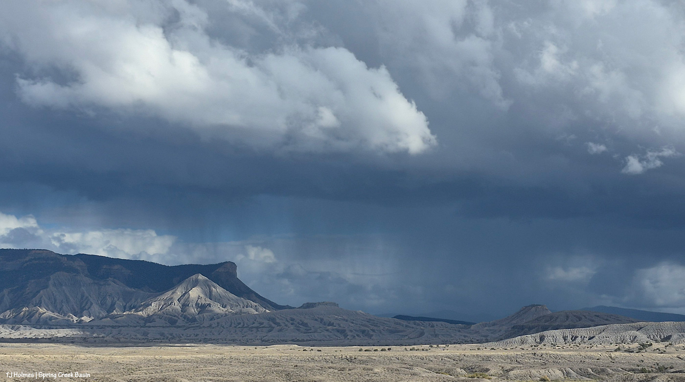
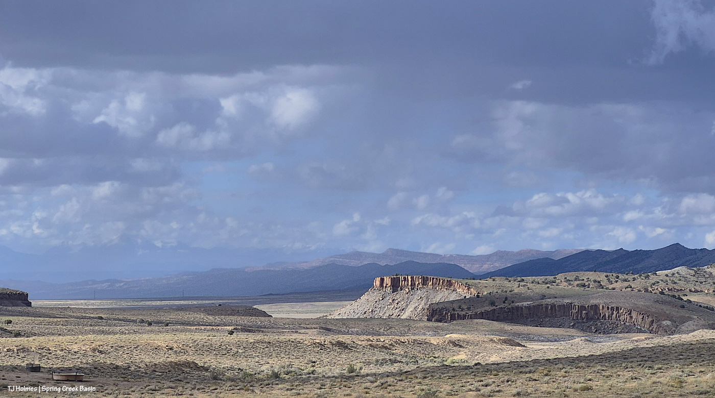
Toad’s-eye view of Spring Creek looking upstream. That sky brought the next wave of rain – and thunder rolls.

Absolutely, absolutely fabulous. 🙂 And the forecast is looking extra promising this week (as long as said forecast proves accurate and doesn’t just bomb, as it has so often this year). Dance, pray and cross everything for us. 🙂

**********

In other news, some of you may remember that I was a member of the Colorado Wild Horse Working Group a couple of years ago. That group was created by Senate Bill 23-275 (2023) as part of the Wild Horse Project to enable the state to provide support to BLM’s management of wild horses in Colorado. A second bill, House Bill 25-1283 (2025), created a program for wild horses within the Colorado Department of Agriculture, along with an advisory committee for that program. I’m now a member of this new committee.

The first bill came with $1.5 million, much of which was granted to Colorado’s boots-on-the-ground advocacy groups for range-improvement projects and fertility-control support. The second bill comes with no funding. Earlier this year, the Colorado Legislature approved a new license plate design, to join the 270 (!) current designs, to funnel funding to the state’s new wild horse program for further on-range fertility-control support as well as off-range (post-roundup) support of Colorado mustangs and adopters.

CDA has just released a survey with several license plate designs, and you, the public, are encouraged to vote for your favorite. As stated, if you participate in the survey, think about this: “Which design will help sell the most plates” … to offer the most financial support. Colorado’s campaign for wolf-related license plates – “Born to be Wild” – apparently generated around $1 million in its first year.

If you’re so inclined, please follow this link to get to the survey to vote for plates and describe what you like and don’t about each plate. Keep in mind that visibility and identifying *wild* horses as the subject are the main goals in order to encourage people to buy these plates for their vehicles to help support Colorado’s wild horses.

And if you’re a vehicle-driving Coloradan, the plates likely will be available next year.

Thank you!


Bats, baby!

5 09 2026

Surveying bats by sound isn’t what most people would think of as exciting.

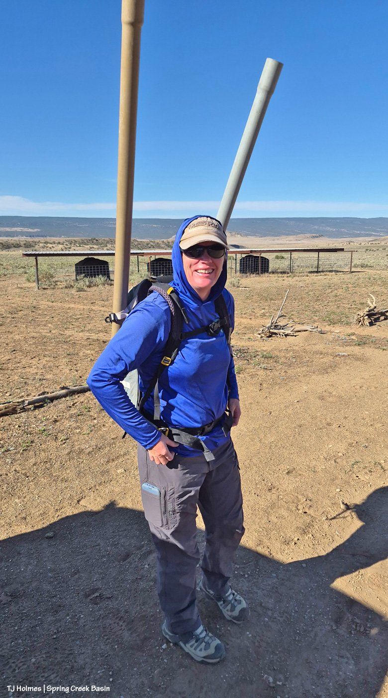
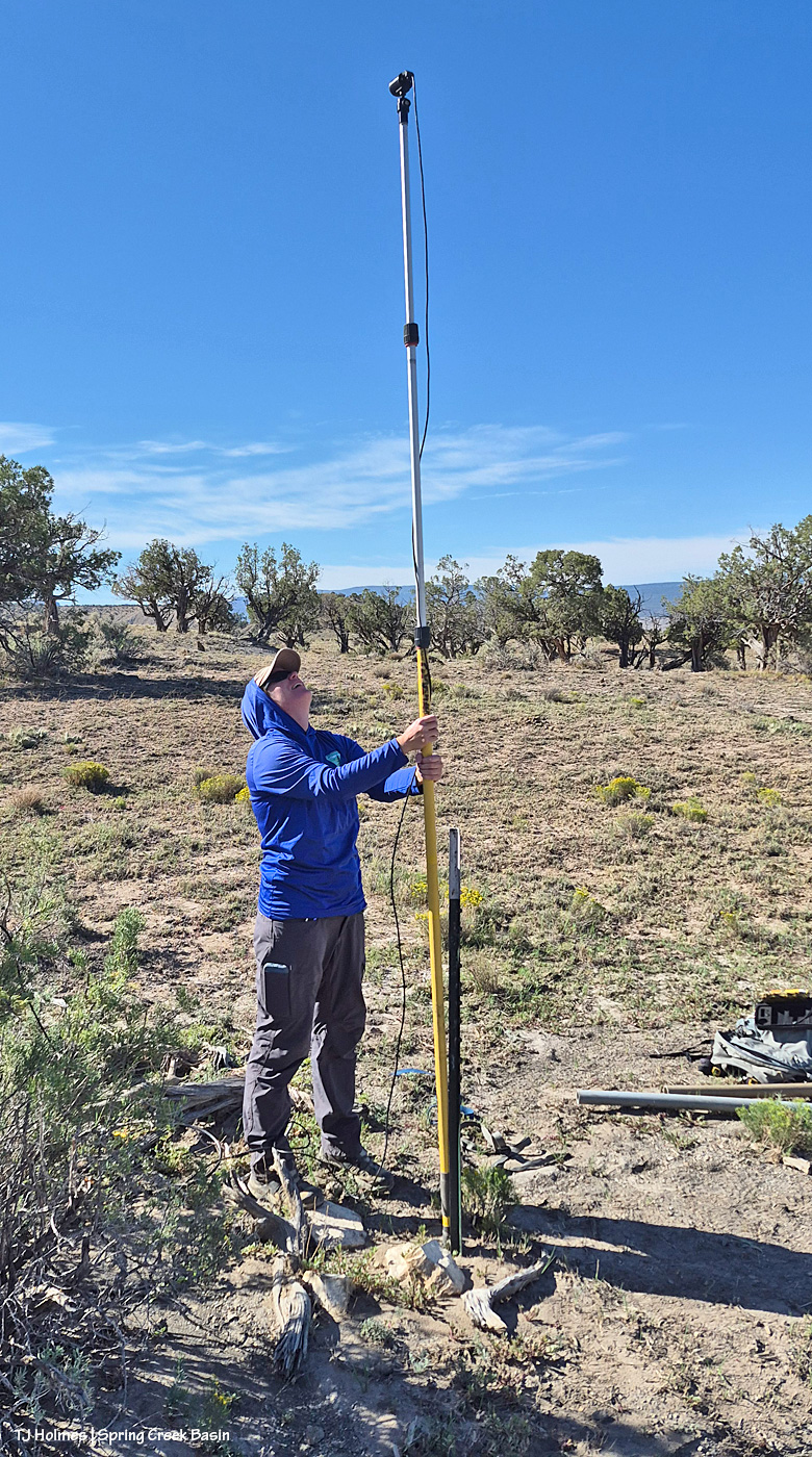
You hike out, put up a pole, do some techy stuff, lock the box and hide the wires from mouthy varmints and curious critters, and that’s it. You don’t actually SEE the bats (nocturnal/crepuscular as they are).

…

Ha! Those are the mechanics of it, but what BLM biologists and other biologists and scientists can learn from that type of little jaunt is SOOOOO cool!!

After BLM wildlife biologist Bridget Frederick returns for the pole and things, she’ll take the recording box back to the office and run it through the computer to find out what species of bats are fluttering around the night sky in that area of Spring Creek Basin (location mum to protect the ongoing coolness of future surveys). BLM folks have been monitoring this site since 2020, and altogether, Bridget (and other wildlife biologists?) monitors 21 sites across all of the half a million BLM acres in Southwest Colorado managed by Tres Rios Field Office. (And if you’re a BLM wildlife biologist who invited a recovering journalist along for the adventure (OK, OK, I may totally have invited myself along), you patiently (!) answer lots and lots of questions!)

She uses a program called “sonobat” to decipher the echolocation squeaks of the individual bats and identify the species of bats picked up by the recordings (like listening for and identifying the songs and calls and trills of birds), and it’s all part of the North American Bat Monitoring Program.

And you thought Spring Creek Basin was all about mustangs. 🙂

Hopefully I’ve done some work to dispel that notion, but I’m pretty sure I’ve never written about bats before! To know that we’re (Spring Creek Basin and Tres Rios) contributing to the overall knowledge of bats is just the sort of thing to make me giddy. Bridget said they’re basically surveying the overall population of bats in the area, including fluctuations in those populations because overall, bat numbers are declining, just like bees and songbirds. Part of that might be diminishing habitat, insecticides, challenges to migration corridors (just like with big mammal species like deer, elk and pronghorns) and a particular challenge: white-nose syndrome. That’s a deadly fungal disease affecting hibernating bats in North America, and NABat is tracking its devastating impacts across the continent. While BLM’ers and others haven’t found it particularly in our area, it has been found elsewhere in Colorado and in neighboring Utah.

As if The Colorado Sun knew I was just about to post about bats, it ran this article yesterday: “Colorado’s bats live in surprising places. Biologists, and volunteer observers, are trying to find them; From abandoned mines to high mountain slopes, biologists and volunteers with Colorado Bat Watch are searching for bats to better understand their populations as white-nose syndrome spreads.” Check it out; maybe it will inspire you to join a “bat watch” group in your area.

Bridget sent this about the multitude of different species they’ve heard in the last six years in that part of Spring Creek Basin:

Here is a list of bats that we have recorded at the site in Spring Creek Basin. We started this site in 2020:

Myotis californicus (MYCA | California bat)
Parastrellus hesperus (PAHE | Canyon bat)
Tadarida brasiliensis (TABR | Brazilian free-tailed bat)
Eptesicus fuscus (EPFU | Big brown bat)
Myotis ciliolabrum (MYCI | Western small-footed bat)
Idionycteris phyllotis (IDPH | Allen’s big-eared bat)
Lasionycteris noctivagans (LANO | Silver-haired bat)
Myotis yumanensis (MYYU | Yuma bat )
Myotis evotis (MYEV | Western long-eared bat)
Myotis thysanodes (MYTH | Fringed bat)

Can you even believe all those different species of bats? As anyone who has visited and been subjected to the dreaded gnats and biting flies can attest, we (should) love bats!

Before we go any further, I won’t hear a negative thing about bats because bats are bazinga-cool! (What’s a Batman reference?) Honestly, humans should be doing as much for bats as for butterflies and bees and cuddlier things (ha!). Other than the moon, I’m not real great at photographing things in the dark, but wow, I’d love to catch sight – and a photo – of any kind of bat. If I was confident it wouldn’t be messed with, I’d love to put a trail cam up at the water-catchment trough not too far away. Wouldn’t it be cool to see what critters use it other than the mustangs?

More from Bridget:

“Yes, that is the total list of bats that we have confirmed over the years at that site. It does vary a bit year by year what bats are detected. … We leave the detector up at least 4 nights, but sometimes longer because of weather or road conditions. We have 2 to 3 detectors out at the same time. This is the only site in Spring Creek Basin that we sample. We have 21 sites that we sample across TRFO …”

Now let’s join Bridget for our little excursion!

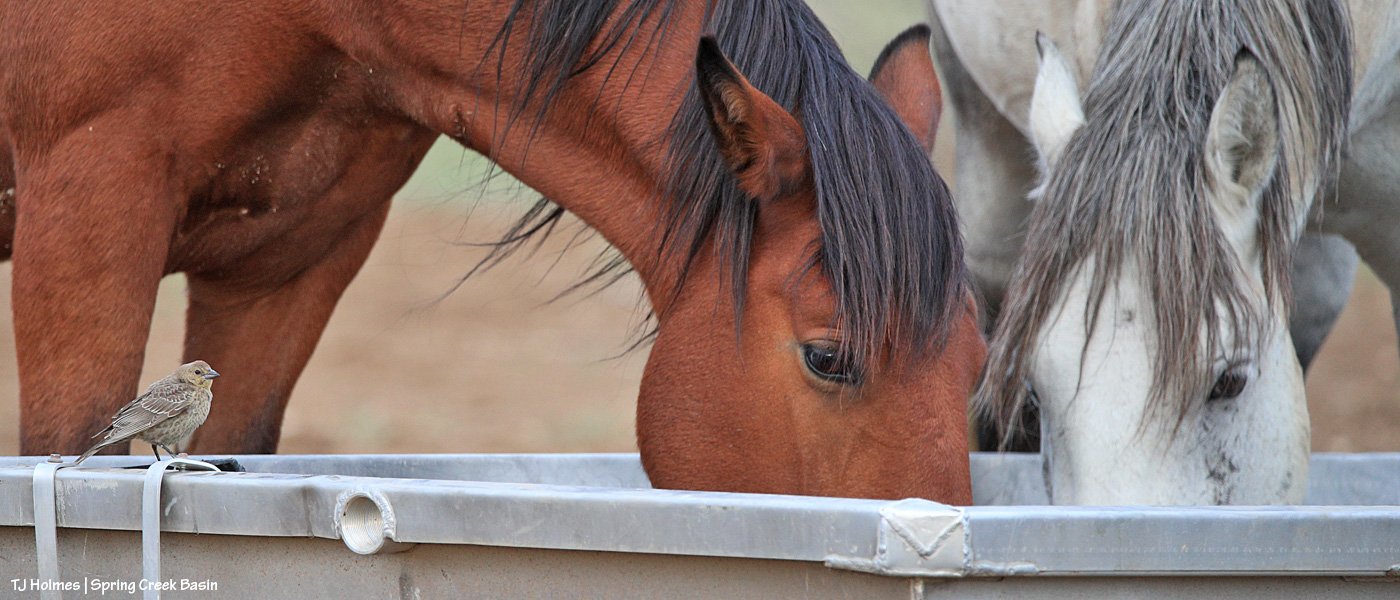
Off we go! The siting of the bat pole in the location where she places it pre-dates the water catchment, which was built by Mike Jensen, Garth Nelson, Daniel Chavez, Jim Siscoe and me in 2021. Just like we saw with the little bird friend drinking with the mustangs there, I hope it has encouraged use by bats! As Bridget said, the bats are likely to be drawn to the water just as much as the insects, their prey.

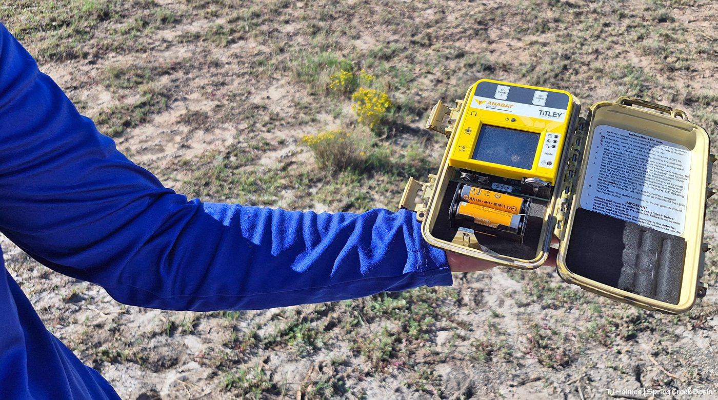
Nope, not a trail camera but a bat listener! I think it will catch the sounds of anything, and she can set it to listen at particular times. For the bats, which are the particular goal at this site, it’s set to record between sunset and sunrise. (I mean, how cool to listen to the quiet sounds of the night in what has to be one of the quietest places anywhere!)

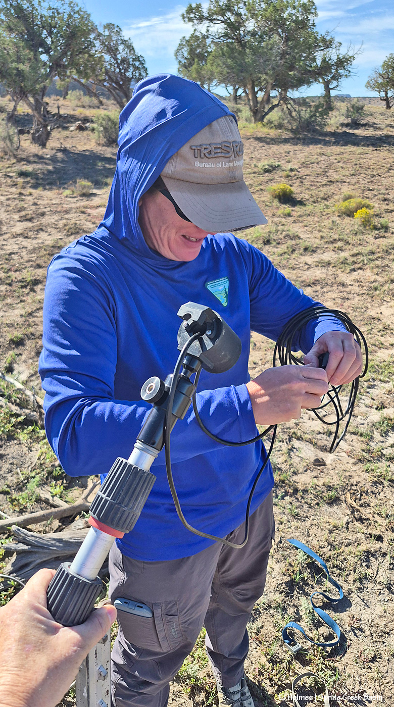
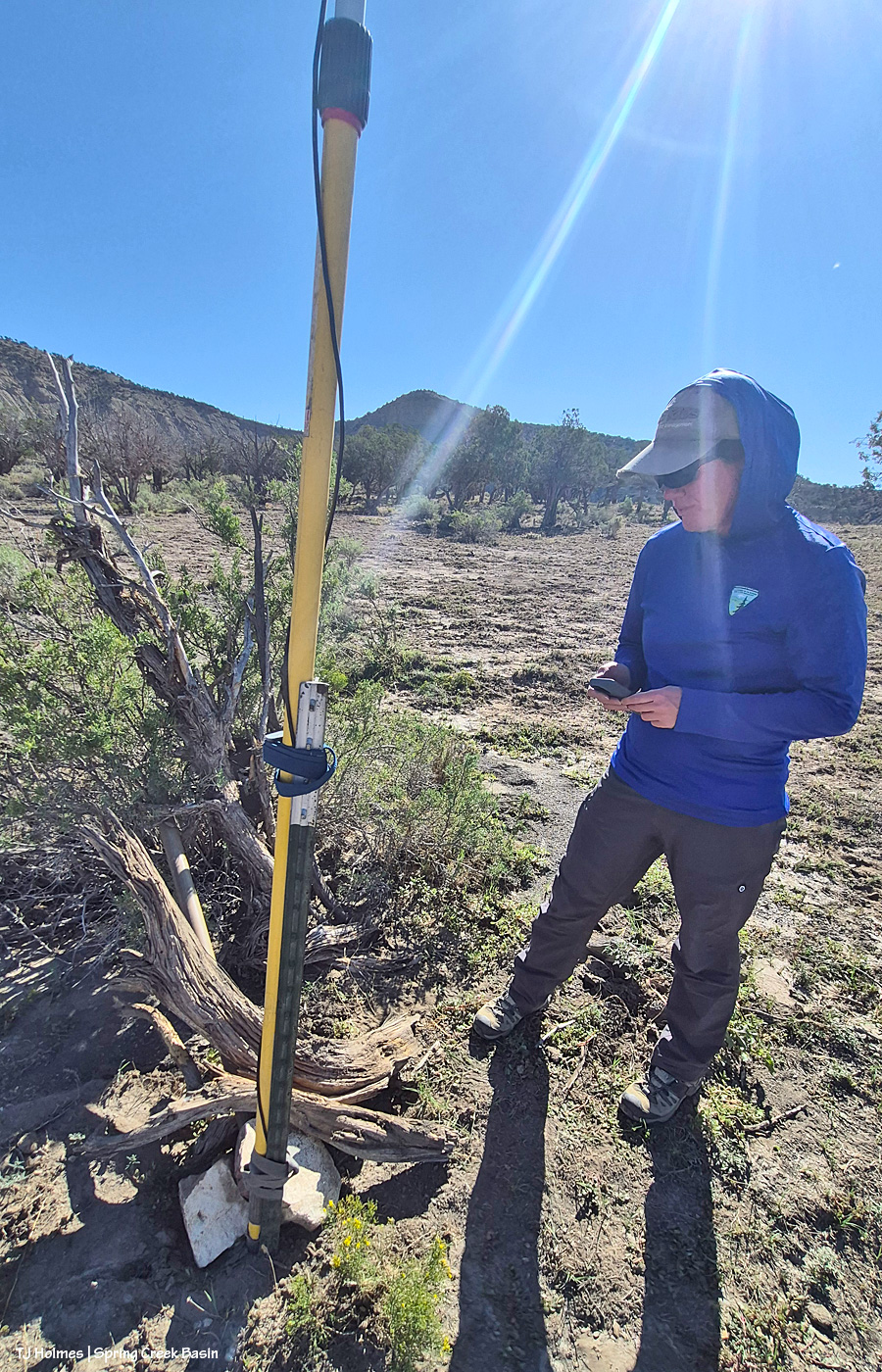
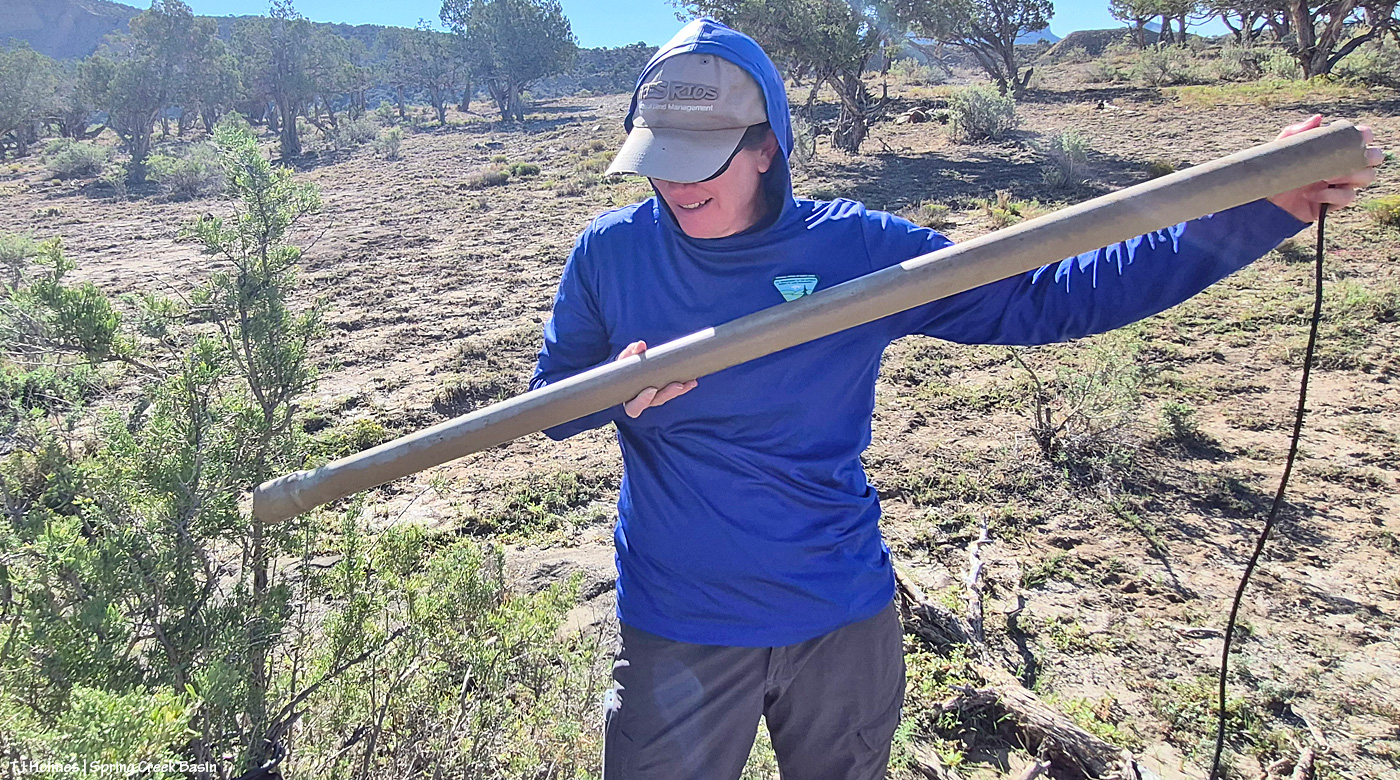
I got to hold the bat pole (!) while Bridget threaded the microphone and cord through the bit on the top (that’s what collects the sounds) and then the other little part that will plug into the listening box.

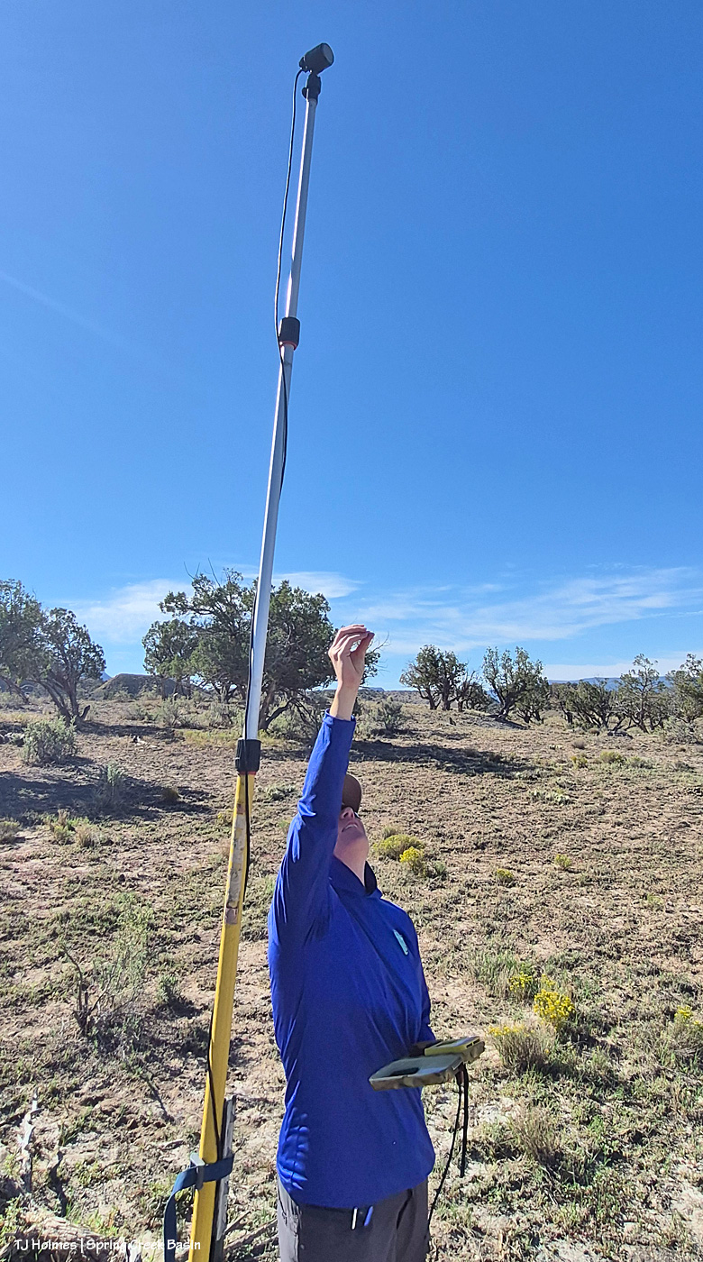
And it’s up! It extends between those black parts, much like the legs of a (really tall!) monopod.

Bridget sets the pole so the microphone – the part at the very top – is that what you call it? it’s not delivering sound but gathering it in! – is facing the big open area. Here, she’s testing to make sure it’s picking up sound.

Did you wonder about the PVC pieces Bridget was carrying in the first pic? She runs the cord from the microphone down along the bat pole and then through the PVC piece (and possibly a second one, depending on distance to where she stashes the listening box) to deter curious critters and mouthy varmints! If you don’t already know, mustangs – and chipmunks and ravens and a variety of other wildlife – can be VERY curious critters. 🙂

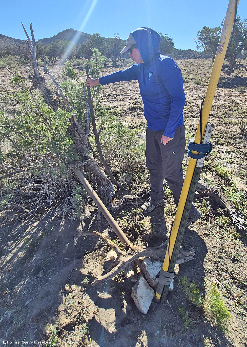
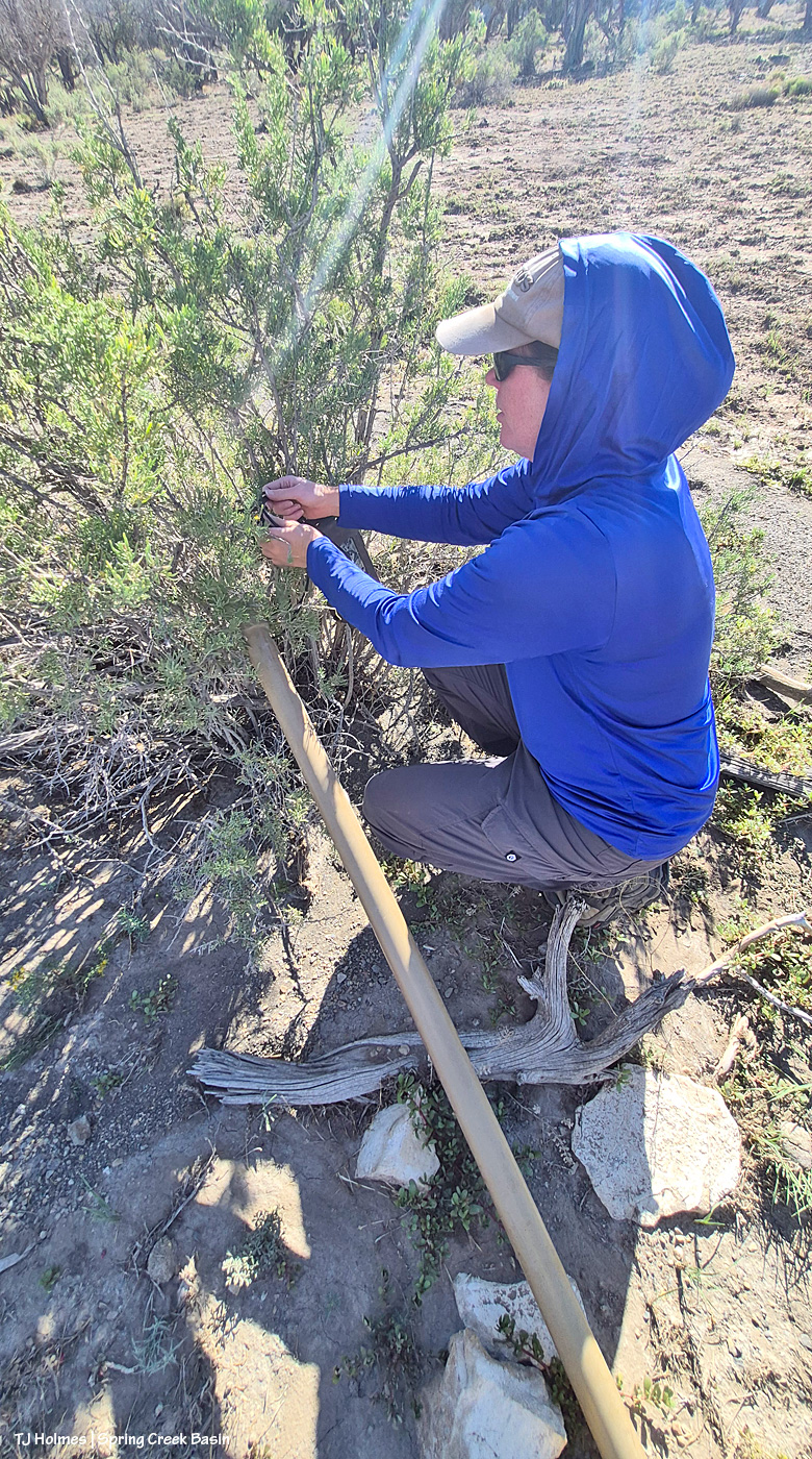
Then she coils up the excess wire between the PVC and the listening box in the (in this case) handy greasewood before …

… camouflaging it to try to keep passing critters from noticing and investigating (because they will if they do).

One last check that it synced with her phone, and the bat pole was ready for the business of listening for bats (well, as soon as the sun set)!

Bridget has retrieved the pole by now (she sets them out for about four days on average), and she’ll be listening for the bat squeaks to tell her what kinds of bats have been fluttering around Spring Creek Basin’s night sky! I’ll try to follow up with her to learn what kinds of bats the pole’s microphone and box picked up and recorded this time.

I’m telling ya’ll: Any/all kinds of “-ology” you want to study can be found in Spring Creek Basin (and, really, all of America’s public lands, of course). BLM scientists like Bridget are out there adding to the knowledge base we have of even the smallest critters like bats, and I find that so incredibly fascinating!

If you have any questions for Bridget, ask them in the comments, and I’ll get them to her (and then get the answers back to you). I’ve learned so much from her … from all the BLM folks I’ve been lucky enough to work with here in Southwest Colorado!

(Perk: Yes, we DID see mustangs on our way to place and leave the bat pole! And I’m pretty sure she and her partner for the retrieval saw more when they picked it up. 🙂 )


Little friend

1 09 2026

Merlin couldn’t identify the teeny little bird, but it might be some kind of sparrow (if you know, let me know!). It’s standing at the top of the “critter ladder” at the end of a water-catchment trough. It first looked at the water from the other end of the trough, then across from the horses, then fluttered over to this end and disappeared. Although I couldn’t see it from my distance away, I knew it was getting to the water level from the specifically placed critter ladder (it’s really more like a ramp with a sort of mesh over it for little toes to grip).

Is that awesome, or is that awesome?! 🙂


Makin’ it work

7 08 2026

Mid-week in Spring Creek Basin, early morning to beat the 100-degree afternoon temps, a couple of *my* BLM guys gathered with me for some fixin’s. Not food; water-related.

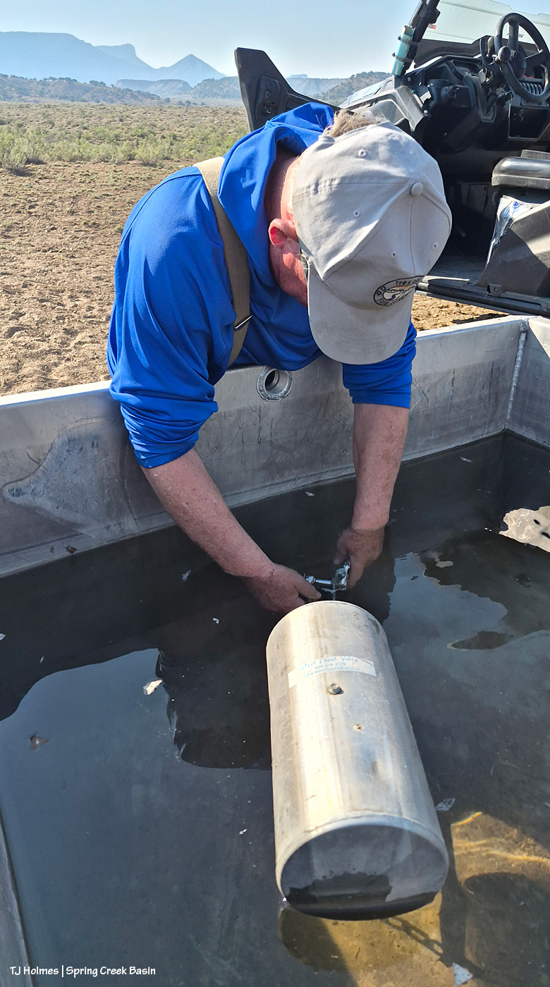
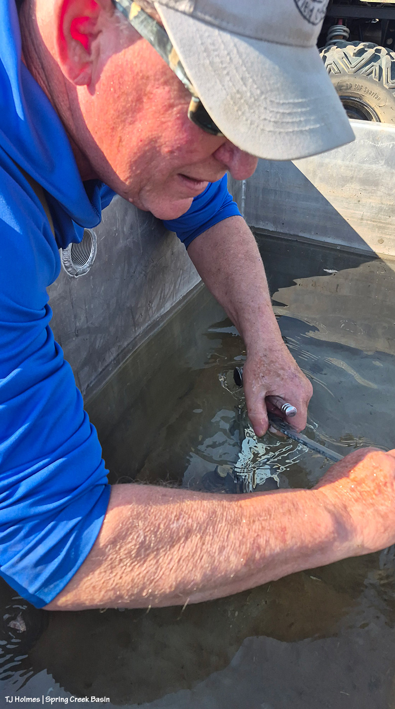
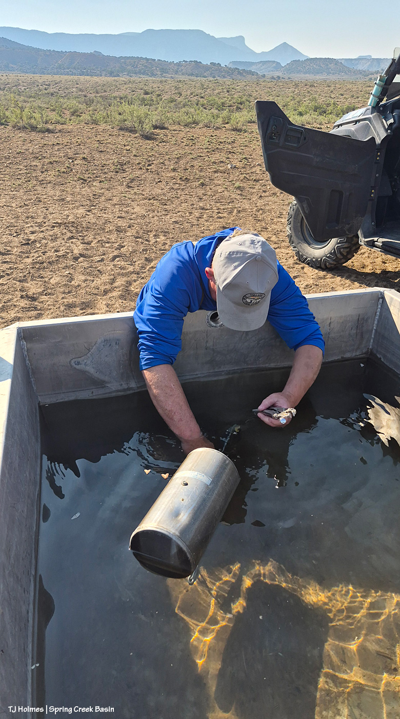
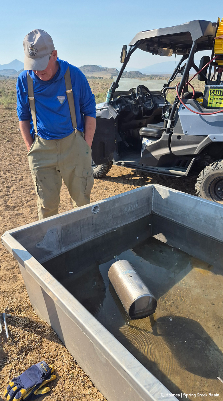
BLM seasonal range tech Jim Siscoe came out to fix/replace the broken piece in the wildcat valley water catchment trough! This means that I can leave the valve on for the water to fill the trough automatically as the horses drink it down without turning the valve on to fill the trough and off so it doesn’t drain all our precious water from the catchment tanks. If you were with us in 2021, you’ll recognize Jim as part of the dream team who built the first of two new water catchments in Spring Creek Basin (along with Mike Jensen, Garth Nelson and Daniel Chavez).

Jim had asked that the trough be dry for the work, as he wasn’t sure he’d be able to insert the new piece if the pipe was covered by water.

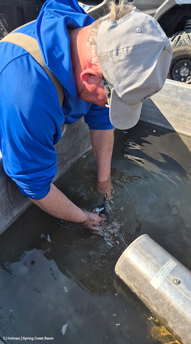
Obviously, the trough was still about half to three-quarters full! He did say the cool water felt great, and it didn’t hamper his fixit skills at all. 🙂

And really, I don’t think I can be blamed because I’d last filled the trough three days earlier, thinking that would be plenty of time for the horses to drink down the water. (Actually, I was a little worried about them not having water there when they’d gotten used to finding water there. … I needn’t have worried.)

What it means – because when I’ve been out there filling it with two, three, four bands visible nearby-ish – is that the horses have plenty of other water sources (many of which I’ve seen and know about), which, as you might imagine in these scary drought times, gives me a huge sense of relief. And Jim, awesome as he is, went with the flow (get it) and had the new piece inserted and the whole thing fixed in about five minutes flat. 🙂

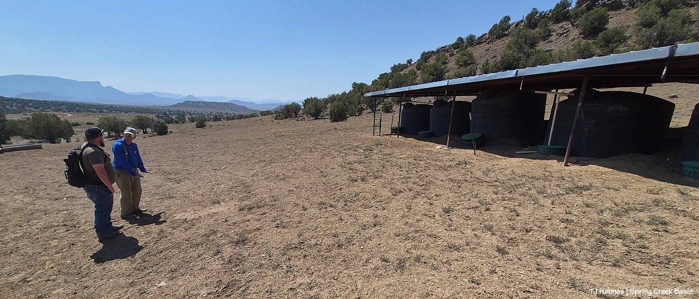
That done, we went to the northwest valley to meet Anton Rambur (BLM rangeland management specialist). There followed discussion of what it will take to fix the pipe that connects the tanks, broken last fall when the basin got so MUCH rain that it flooded around the middle tank and literally popped it up out of the ground.

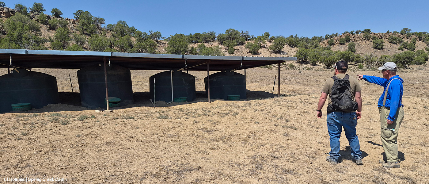
Jim points out where they’ll need to start digging to work their way up to that middle tank (as shown, it’s second from left) in order to get it out and get to the below-ground pipe.

See all the green discs at the front of each tank? Those top a vertical culvert that protects and allows access to the bottom of each tank. A pipe comes straight out from each tank and Ts at a pipe that runs horizontally across each each tank. At the far end, a pipe then runs down the hill to the trough, seen behind/beyond Anton and Jim.

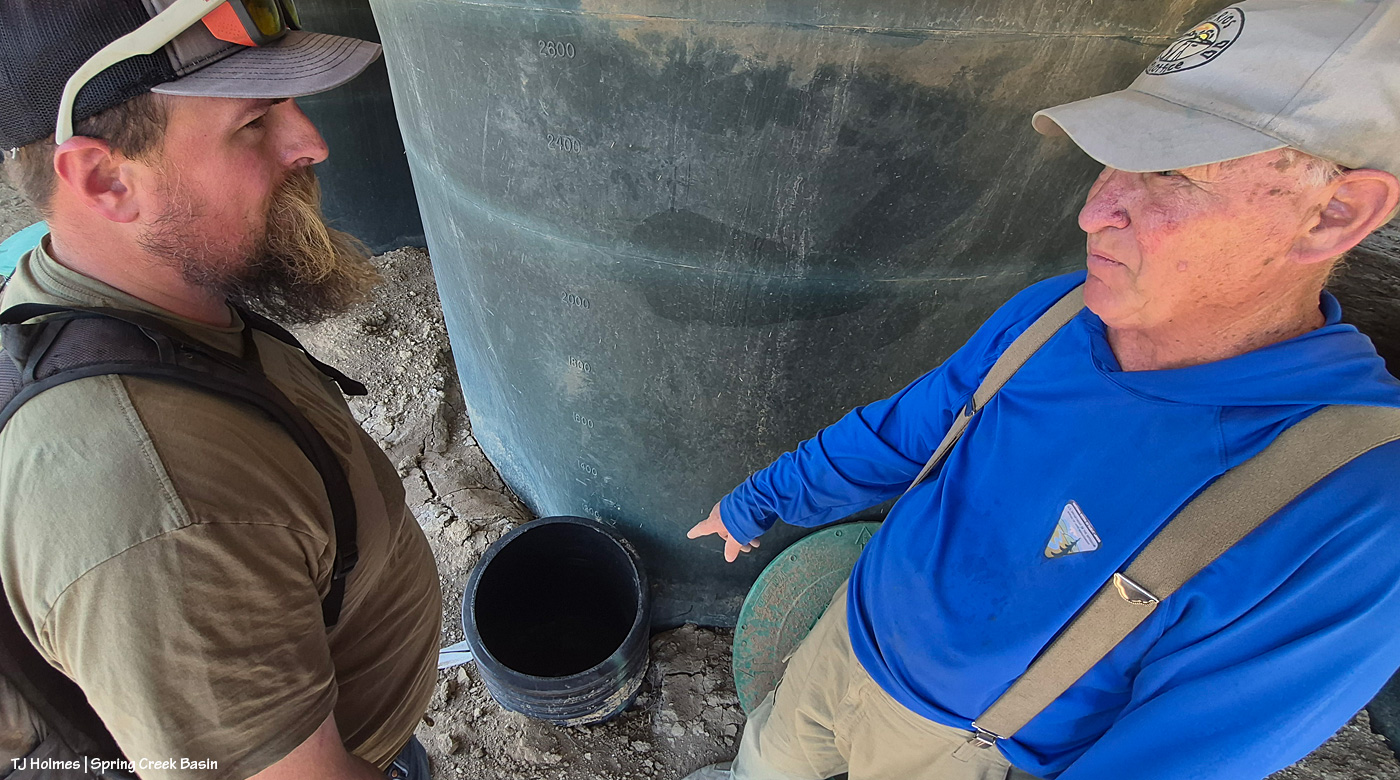
Problem pipe. This is the tank that got popped up with the force of that flooding rain last fall. The pipes were no match for the force of that water, so they broke on each side of the T. The only thing that stopped the tank from being lifted right out of the ground was the roof overhead.

The fix: Rent a mini excavator again, use it to fix the road all the way back to the northwest valley, then dig out the pipe and tank. Replace the tank and fix/replace the pipe(s) and valve. We’re also going to put in a midway valve so I can turn it off if we have a problem again because right now, while we have a semi-fix, when I turn on the valves to the two end tanks, water runs down to the trough, but it also backs up and gurgles into that culvert Jim is pointing to. Last job for the mini ex: Build up the berm again at the back of the line of tanks and dig a trench to carry water around/beyond the tanks in the future when it, you know, floods again. Because in the desert, we have to prepare for both drought and the goodness of “too much” water (I mean, nobody ever considers any amount of water to be *TOO MUCH* water in the desert … but it can be destructive when it comes all at once).

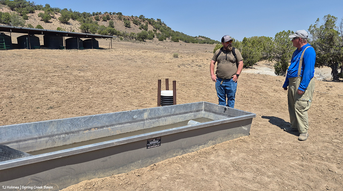
Jim and Anton talk over the water cooler … err, water trough. 🙂 Beats an office any day (though it’s always nice to retreat to office AC when the heat is this bad!).

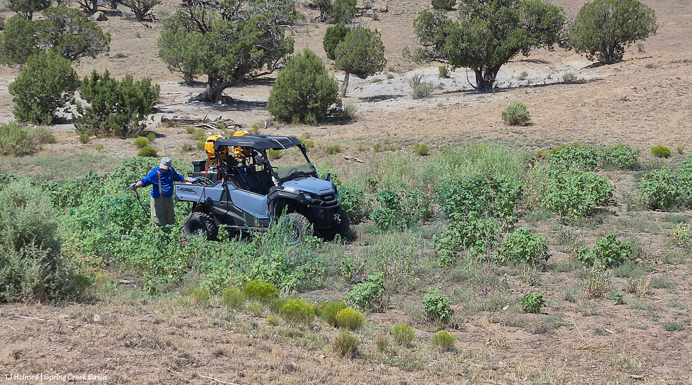
Jim is the resident “weed killer” at Tres Rios Field Office, and he does a great job. Here, he took advantage of being out in the basin to spray cockleburs, Russian thistle (tumbleweed) and Russian knapweed downhill of the catchment in the drainage that leads to the pond (left and dry).

Wider view that shows the catchment up to the left. The trough is barely visible behind that single juniper.

We were out early enough to beat most of the heat, make a good fix, run some water, talk about another fix, spray some weeds. No matter the conditions, we’re makin’ it work.


Rain’s a’comin’!

29 07 2026

Apologies for the late post this morning; last night’s storms took out my electricity! Very glad of the rain … shown above making its way into Disappointment Valley southeast of southeastern Spring Creek Basin. Seneca really didn’t think she wanted to help show off the view and the rain, but she did an amazing job of it, of course. 🙂

The great thing about the rain is that it wasn’t even in the forecast, so it was a *very* pleasant (understatement) surprise!


High on a creek full of water

14 08 2024

Hold onto your paddles, folks, have I got some rainwater for you. 🙂

Brought to you courtesy of Mother Nature –> Southwest Colorado –> Disappointment Valley –> Spring Creek Basin:

A full water-catchment trough is always a good sign. Fortunately, though low (in the tank, uphill behind me), we’ve had enough rain lately to keep this trough full – and there have been a fair number of horses drinking here with the amazing grass around (don’t let the pic fool you; the galleta, in particular, is bonkers this year, along with the alkali sacaton). I may have explained this in the past, but it bears repeating: The triangular sheet of metal over the trough is an evaporation cover, designed to help slow evaporation of precious water in our (usually) dry climate. The shape of the cover is triangular so the horses have plenty of room to drink at the sides of the round trough.

The Flat Top pond looks small in this wide-angle view looking eastish across Spring Creek Basin, but although it has gotten pretty shallow in recent years, it’s a pretty good size.

Good thing I scouted the V-arroyo before I tried to cross it. Those are my tentative footprints in the pillowy, shoe-grabbing – and tire-stopping – mud in the center bottom of the pic. You might not think it’s too bad, but there’s a lot of water in/under that surface mud still, and it is NOT friendly to tires or shoes until it has a chance to seep deeper into the soil and dry out from the bottom up. Along the left side of the pic is the arroyo – we’re looking upstream. The bottom of the arroyo, where I’m standing on relatively firm ground, isn’t very wide (hence my name of the “V”-arroyo), and the road rises to my left – up a little water-carved bank that’s nothing like the wall still in place on the other side of the first Spring Creek crossing.

Holy Spring, err, RIVER! I know it’s hard to tell, but this is the first crossing of the usually-dry arroyo that is Spring Creek (when it’s not masquerading as a rainwater-swollen river). Yes, the other side is a road. 🙂 Well, it’s mostly a two-tiered wall; the right side of it is where I dug a channel in the wall the last time the creek ran (back in June) so I could get my ATV across and up and over. It has been widened by crazy people in a truck (I don’t know who … I don’t know anyone that silly/stupid/nutso), but it’s greatly eroded again and is going to need some custom shovel work. (And lowering of the water level. :)) The width here is probably about 25 yards? (Good darting distance.) And this water level is at least 4-5 feet below where it was at its highest/widest mark, behind me, so it’s already running with less volume than at its peak. (WoW!)

I took a lot of pix from here, and I wish I knew how to embed video; I’m still on a super-high from seeing all that water. Bear with me as I show you some upstream and downstream and high-vantage pix. (If you don’t think water in the desert is A BIG DEAL, you don’t live in a desert.)

Looking downstream. Note the two-tiered wall across the creek where the road is (should be). Most of the rocks at left are from previous flooding. But I will tell you, that kind of water can move BIG rocks. I have seen it, and I have moved big (enough) rocks out of the way of crossing in a vehicle or ATV. This is why the powers that be warn people against crossing flooded roads; that water literally grooves arroyos into our salt-desert landscape (milennia ago, this was under a giant ocean!).

Arroyo as defined by Merriam Webster: plural arroyos. 1. : a waterway (as a creek) in a dry region. 2. : an often dry gully or channel carved by water.). … Arroyos are a desert’s proof of water movement – that far bank/wall is much taller than I am. The wall where the road used to be is proof that they’re always changing – with more water.

Looking upstream. Note the water at far right; it was still finding ways to trickle along downstream.

A bit wider view from back up the road a bit. I mean … ?! 🙂 I knew, before ever I got there, that I wouldn’t be able to cross, but I did NOT know how river-esque Spring Creek would be. I love, love, love this place.

Similar view, but this shows the bend in the creek at right. … Try to follow me upstream: See McKenna Peak (the pyramid-shaped pointy peak)? Way back there is the source/start of Spring Creek, which – as you all know, being loyal, wonderful readers of this blog – drains Spring Creek BASIN (along with all its multitude of widely (and narrowly) and wildly variable tributary arroyos). As you may or may not know, the creek doesn’t roll in a straight line from there to here (or beyond/behind/downstream of me). So that bend goes around to the left – upstream of the southernmost *major* drainage/arroyo in the basin – and past another creek/arroyo crossing (below the dugout, if you’ve visited). It comes from the eastish side of the basin – with the northernmost *major* drainage/arroyo entering from the northish to also run back to (really from) the northeast. Are you still with me? There are three *major* drainages in Spring Creek Basin with Spring Creek being the lowest, middle drainage – named as the very-most-major drainage and namesake of the basin it drains.

Water is important here. Knowing how it flows is part of the importance. Back in the very-long-ago day, some other silly people – who apparently didn’t know about arroyos and the highly-erodable quality of the salt-desert soil – tried to dam Spring Creek just below the confluence of the third major arroyo. Thinking they would create a reservoir out of which to irrigate land for farming (what WERE they thinking?), they built a dam and dredged miles of irrigation ditch; the remains of both can still be seen. As the story goes, the first major rain of the (likely monsoon?) season brought water rolling like a river down every tiny arroyo, down to and through the big drainages, blasted a hole in the dam that likely had cost boatloads of blood and sweat and resulted in tears (!) … and they went away *disappointed* (har har). … Mother Nature always wins, folks.

Well, I knew better than to attempt the crossing of Spring Creek Basin’s *river* (without more rain … which we’re getting again as I type … the creek would likely be done flowing within 24 hours … though the water will last in pockets and seeps for a good long while), so despite the big group of a couple of bands of mustangs not far away, I headed out, already on a great big, marvelous high.

What you’re looking at in the pic above is our crazy-good grass, which amazes me because of the little – but always valuable – rain we’ve gotten this summer (this year, really; it’s been pretty darn dry since *last* year). The galleta grass is particularly bonkers this year, along with the sand dropseed and/or alkali sacaton (very similar in appearance). This is from right inside the basin’s main/western boundary entrance looking eastish.

From here, my next destination was the south rim of Spring Creek canyon, through which water runs out of Spring Creek Basin, out across lower Disappointment Valley and into Disappointment Creek, which delivers water – along with a “healthy” (aka large) dose of salt and sediment (apologies) – to the grand and spectacular Dolores River.

Spring Creek, draining Spring Creek Basin. 🙂 Around the near (left) bend, before the far bend, there’s a fence across the wide-open low ground and a water gap across the creek; that’s the basin’s western boundary. Way yonder, on the horizon, on the far side of the farthest rimrock and even beyond that blue-grey tide of rain, is the south shoulder of eastern Utah’s La Sal Mountains.

Not even my phone’s widest angle is wide enough to take in all the gorgeousity of Spring Creek through its canyon, so here’s another bit of view that takes in more of the upstream canyon area. Spring Creek Basin stretches north (straight ahead of me) and east (to my right) and south (behind me) from this perspective on the canyon’s south rim.

Those layers. The canyon is neither super deep nor particularly long. But it is so gorgeous.

In just the short time I walked out and spent along the rim, the storm to the west was already passing.

Looking upstream across the heart of Spring Creek Basin, where another storm loomed on the northeastern/eastern/southeastern horizon.

And because this is a blog about the wild horses of Spring Creek Basin, there IS a mustang out there, though I’m not sure he’s visible. As far as I know, the young mister is the only one to have crossed the creek (within view, anyway). 🙂

Grow, grass, grow!

Better late than never (this was the last day of specific rain in the forecast). I think we can be said to have gotten some monsoon rains this summer. Despite all the worry leading to this day (yesterday), soooo amazingly grateful. 🙂

* Thanks to Charley Pride for the inspiration behind this post’s title – “(High on a) Mountain of Love.”


Critter ladder in use

29 07 2024

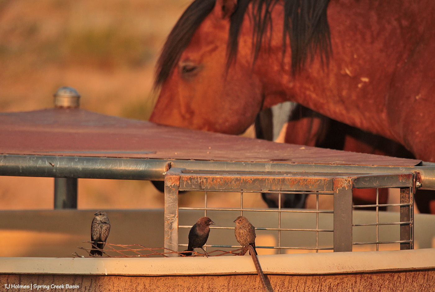
I *think* that’s a male brown-headed cowbird in the center, possibly flanked by females or juveniles. Please DO correct me if you know the correct ID. Birds – especially LBJs – aren’t even on my list of known-about critters.

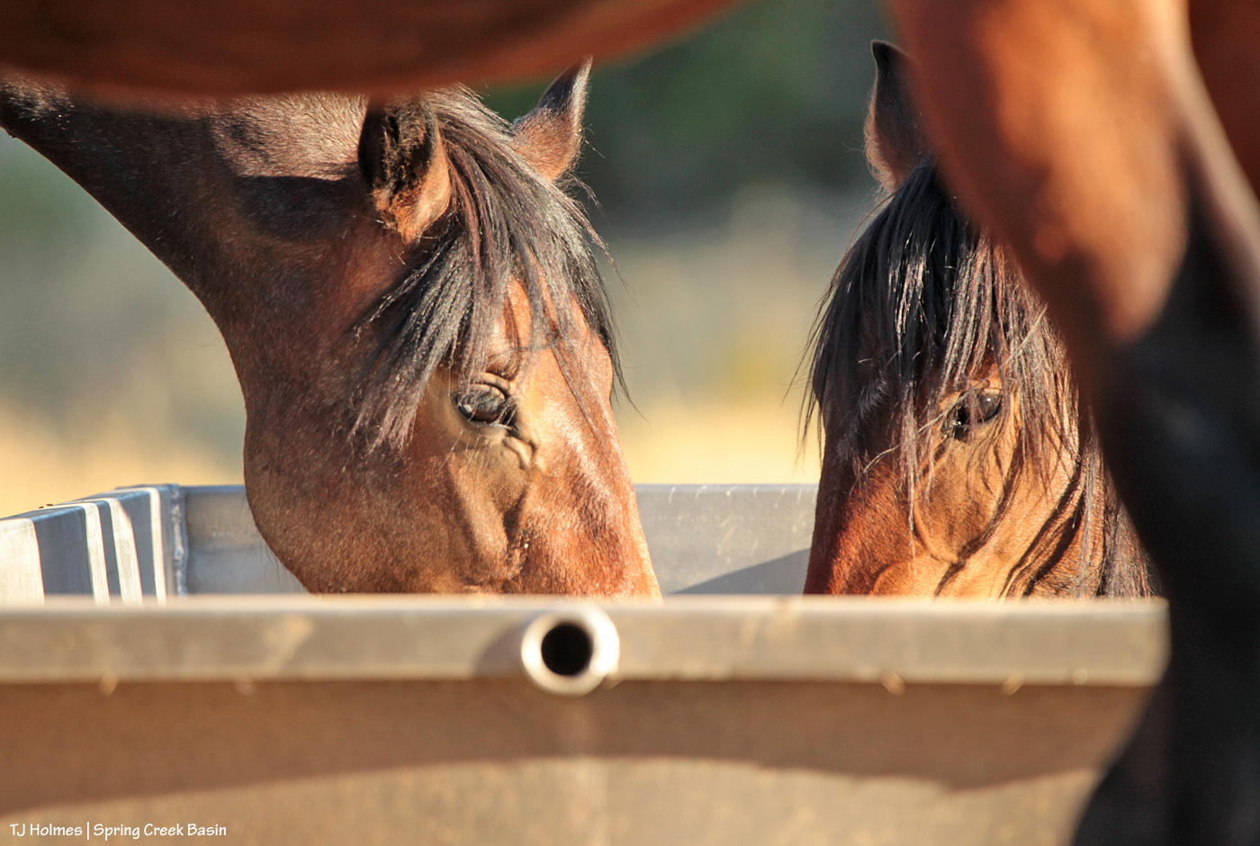
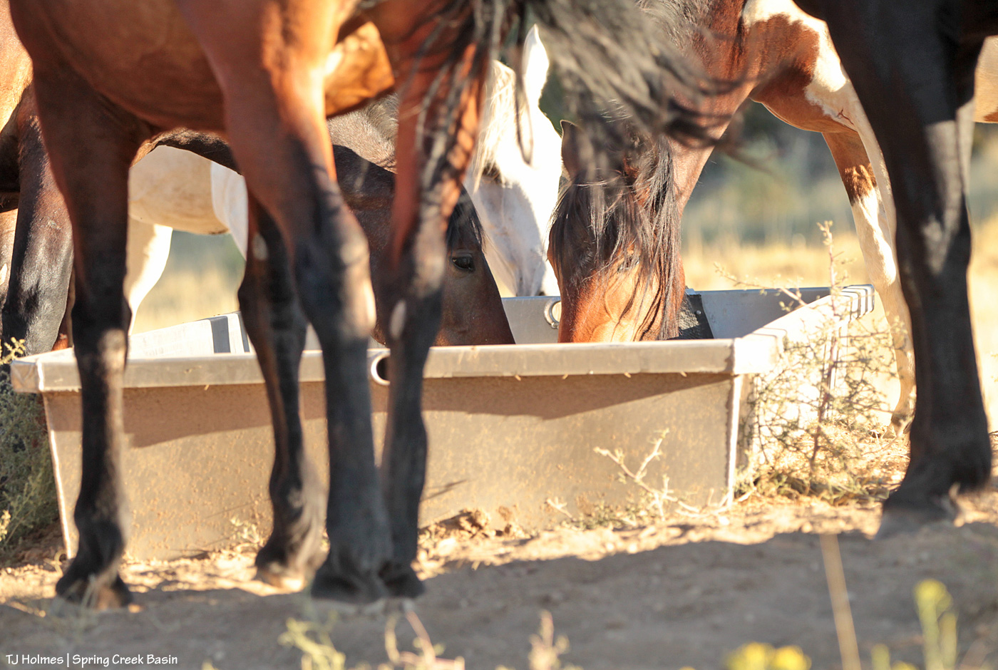
Speaking of critters, they’re on the “critter ladder” in the trough at the main/original water catchment in Spring Creek Basin, built 20-plus years ago. The “ladder” is a bit of metal mesh that allows birds, ground squirrels – critters – to get to the water to drink without drowning. I was super tickled to see them using it with horses (that’s Tenaz in the background) napping around it after an evening mosey to the water cooler, err, trough. (All of the troughs at all four water catchments in the basin have some form of critter ladder.)

Fun bonus pic of the male actually standing on the rim of the trough as photographed through the legs of a napping mustang. 🙂
Everything in the wild needs water. Mother Nature could be a little (!) more helpful in the delivery of said water, but we do our best to ensure that it gets where it needs to go.


Gathered at the cooler water

11 08 2023

A lot of the horses, I see a lot of the time when I visit Spring Creek Basin. Some of the horses, I see some of the time, and a couple of bands, I see rarely. This year, with the new catchments, and horses having found both and using/drinking at both, I do now see a lot of the horses a lot of the time!

But until recently, a couple-few of the bands had become a little elusive, even bands that I had otherwise seen literally every single time I went out. It occurred to me that those bands had found and were using the catchment in the northwest valley – last year’s new catchment – but I rarely drive into that part of the basin (the road is pretty rough), and every time I glassed that area, I saw neither hide nor hair of them.

That changed recently.

I decided to just drive back there and have a look around. At the least, thought I, I’d see hoofprints around the trough.

Oh, ho! From a distance, with the binoculars, I finally saw them up in the northwest valley … and when I arrived, sure enough, there were the “elusive” ones, all there to greet me.

When they decided it was drink time (it was, in fact, well after 5 o’clock there …!), I followed along as they all moseyed to the trough, then waited with them while one band drank, then another … and another … followed by the low-pony bachelors.

These two little sweethearts are youngsters, and though they initially got chased away when, with all the innocence of youth, they preceded their band and tried to drink while another band was at the trough, they did very soon after that get their fill of the lovely clear, clean water.

And mama Winona, too.

I took pix with my phone and texted Mike (Jensen, our herd manager) and told him (again) how sincerely grateful I am to him for having the foresight to take these water catchments from vision to reality. He replied with a characteristically low-key thumbs-up emoji. 🙂
These water catchments (we have four now in the basin, with storage capacity of 50,500 gallons) are game-changers for us. They are the absolute difference between our horses sipping from muddy seeps (only one pond still has water currently) and being able to actually slake their thirst during 90-plus-degree days with humidity in the single digits.

Grateful????? Multiply that by a gajillion, and that’s still not enough. Super, super grateful. 🙂
In case you missed the posts about our water-catchment-building projects the last two years, check out these posts (wow, I didn’t realize I’d done so many until I listed them here (please excuse the randomness of changing styles?!)) … but the *WORK* was, has been and continues to be amazing, for which we are eternally grateful!):

Wildcat valley, 2021

Teamwork

Water catchment: phase 1, day 1

Water catchment: phase 1, day 2

Water catchment: phase 1, day 3

Water catchment: phase 1, day 4

Water catchment: phase 2, day 1

Water catchment: phase 2, day 2

Water catchment: phase 3 (teaser)

Water catchment: phase 3

Water catchment: phase 4

Water catchment: phase 4.5

Water catchment: phase 4.75

Water catchment: phase 4.9

A welcome gift

Northwest valley, 2022:

Wind and smoke and dust and … road work

Water catchment 2: Phase 1, day 2

Water catchment 2: Phase 1, day 3

Water catchment 2: Phase 1, day 4

Water catchment 2 – phase 2, day 1

Water catchment 2 – phase 2, day 2

Water catchment 2 – phase 2, day 2 (more)

Water catchment 2 – phase 2, day 3

Water catchment 2 – phase 2, day 4

Water catchment 2 – phase 2, day 5


Drinking fresh

25 07 2023

Even from a distance, it was great to see absolute evidence of horses drinking at the water catchment in wildcat valley. There are a few bands in the area, and there are hoofprints at the trough, but this is only the second time I’ve actually seen horses there. It makes me super happy to know they can drink the cool, fresh water collected from rain and snow.


Banked

19 07 2023

At least a few bands – a couple more than the last I observed – have found the new (2021) water catchment in wildcat valley in Spring Creek Basin. The cool, clear water in the trough must seem like sweet nectar after the muddy and/or smelly and/or tiny sips of water they’d been getting in various locations previously.

The high temp hit at least 101 degrees recently in Disappointment Valley. It reminds me of the hot days I spent with the BLM guys building this catchment … but even more, I’m so grateful Mike Jensen had the foresight TO build it (and the others). There’s a lot of water in those tanks; we could use an infusion of any amount of rain to keep them filled.