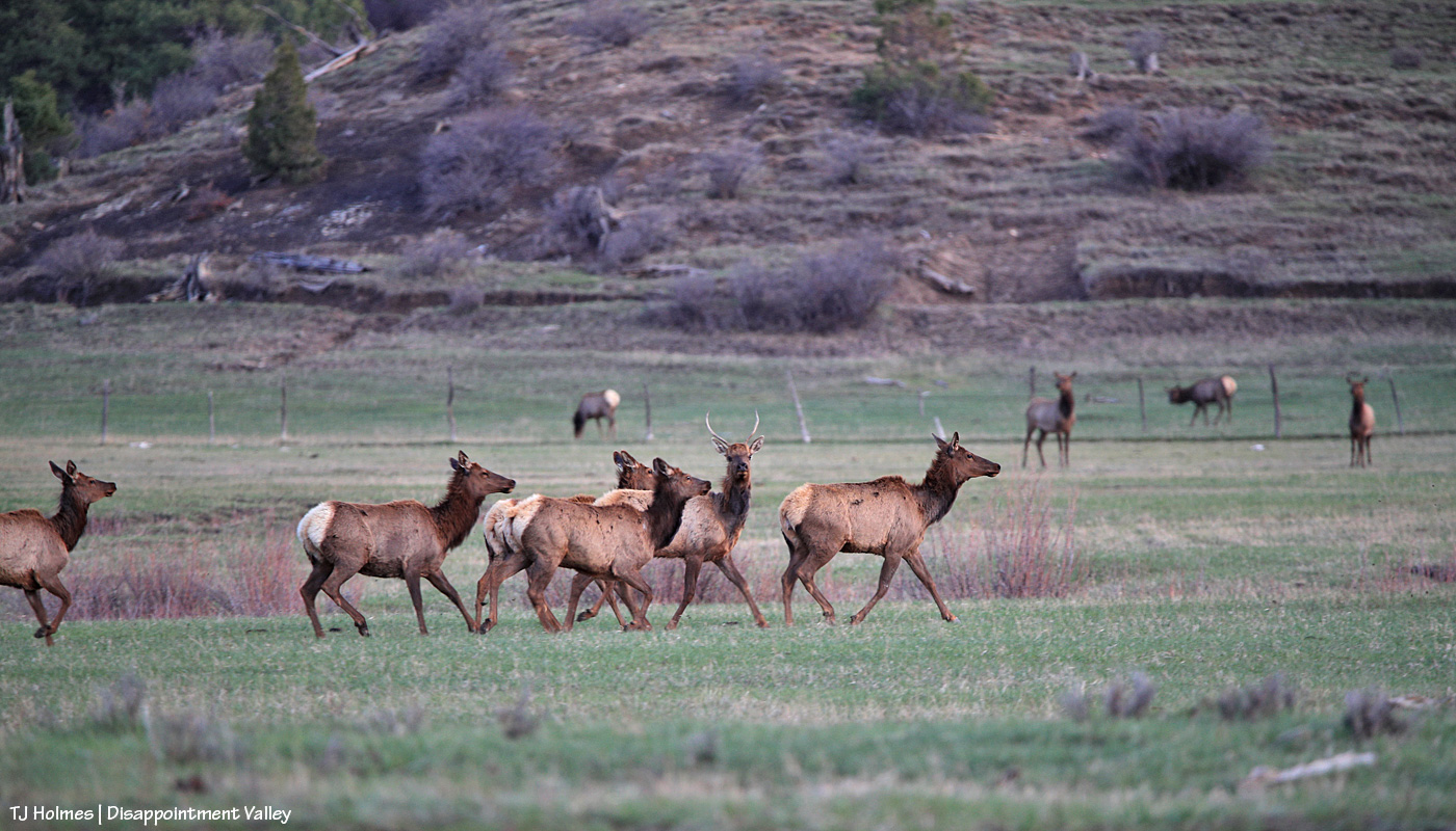
Tuesday was a wild and crazy day … and that was just the weather. It was ultimately a successful day, though at least one part left me shaking my head at, well, how life unfolds. And it was a reminder that sometimes the smallest things, and the simplest things, are the most enjoyable of all.
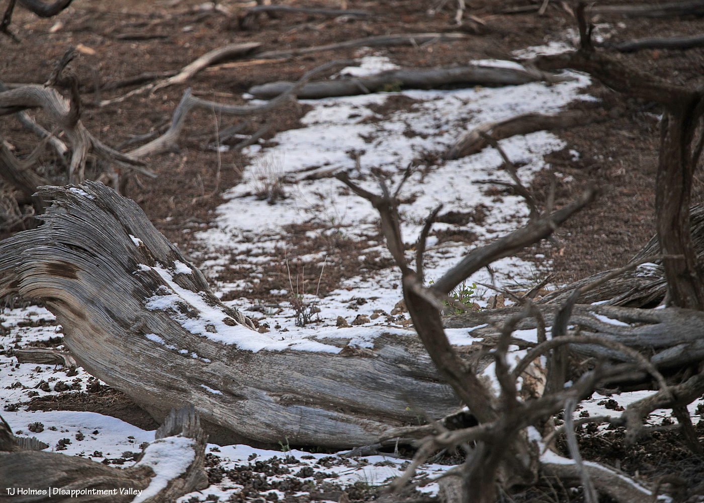
From yesterday’s post, are you wondering what graupel looks like? (Thanks, Valerie, for your comment that led to this post!)
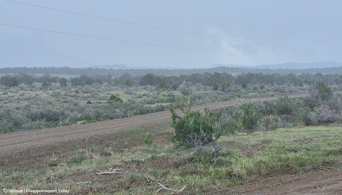
What? I hear you asking. That looks like snow or rain, you’re saying (zoom in to see the streaks). Look on the ground in the lower right corner. I was backed in under a (dead) tree to sit out one wave of it (it wasn’t very hard, and it didn’t last long) at that little side “road” to Disappointment Road, which is across the whole pic. See the little white “balls”?
AI says this: “Graupel, or soft hail, forms when supercooled water droplets freeze onto falling snowflakes, creating soft, small white pellets (


I liked this part: Types of Graupel
While commonly called graupel, it is sometimes referred to as:
Matsaaruti: A term used in the Nunavik region of Canada to describe wet, soft snow pellets.
I encourage you to Google “graupel” because there’s a lot more. Or check this NOAA description of hail types.
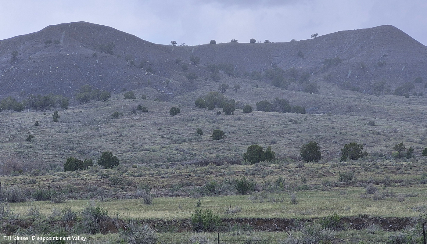
Another pic from the same location as the first pic, looking pretty much straight north at what I call west-of-favorite hill (because it’s, you know, west of what I call favorite hill, which I so-named because once upon a very long time ago, “the pintos” really favored that hill and could very often be found atop it).
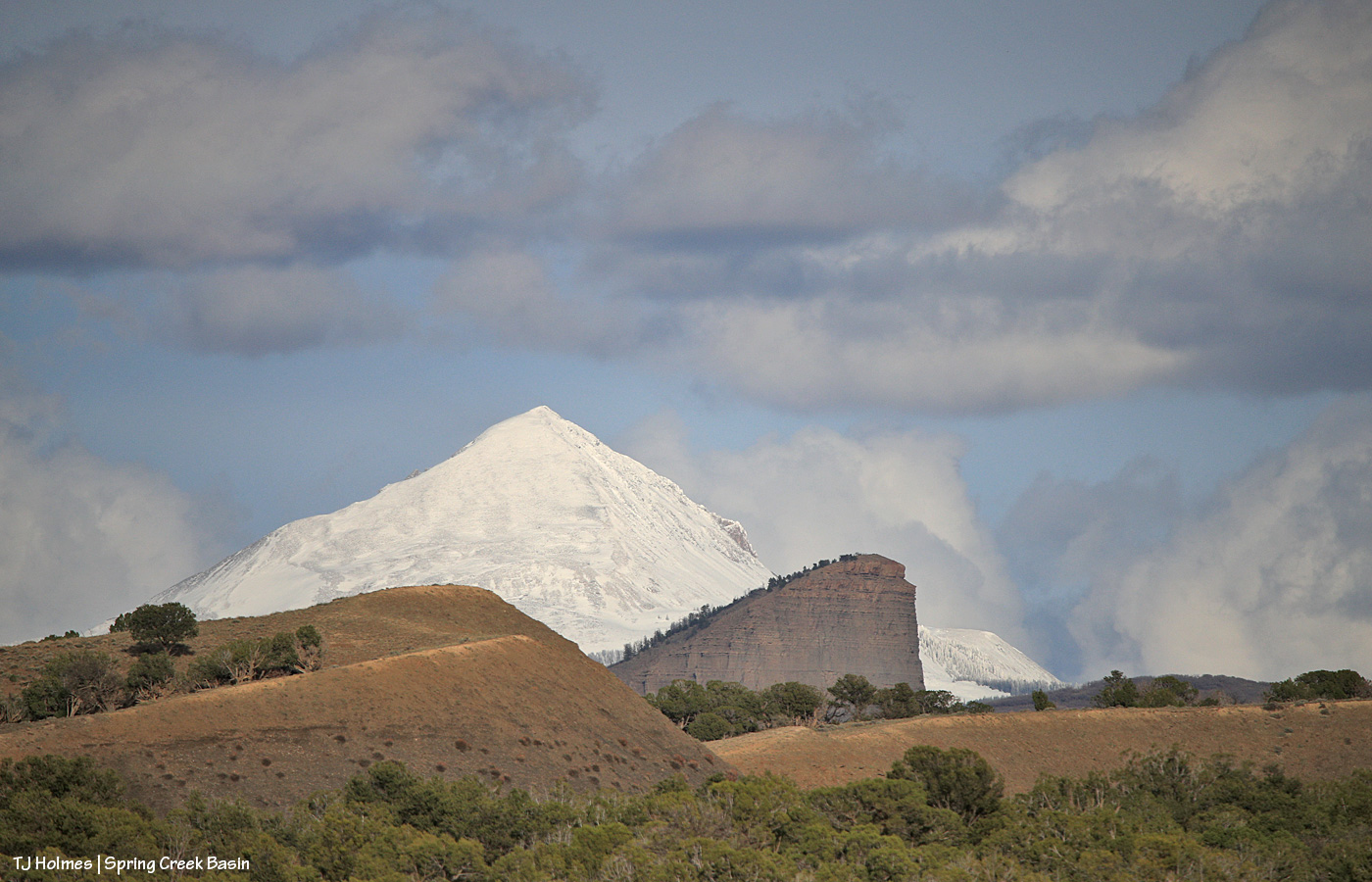
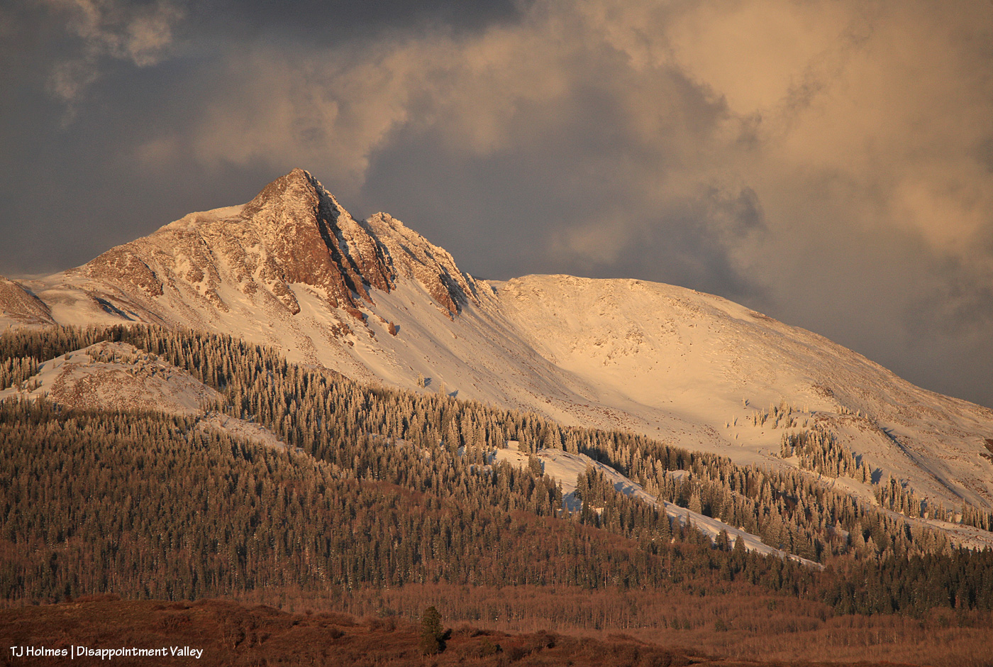
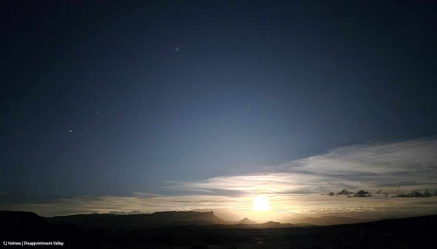
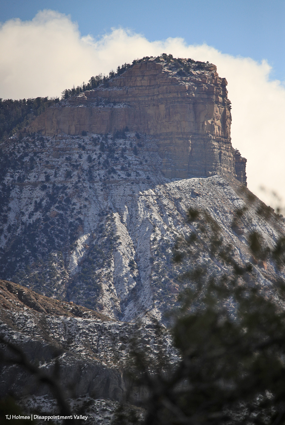
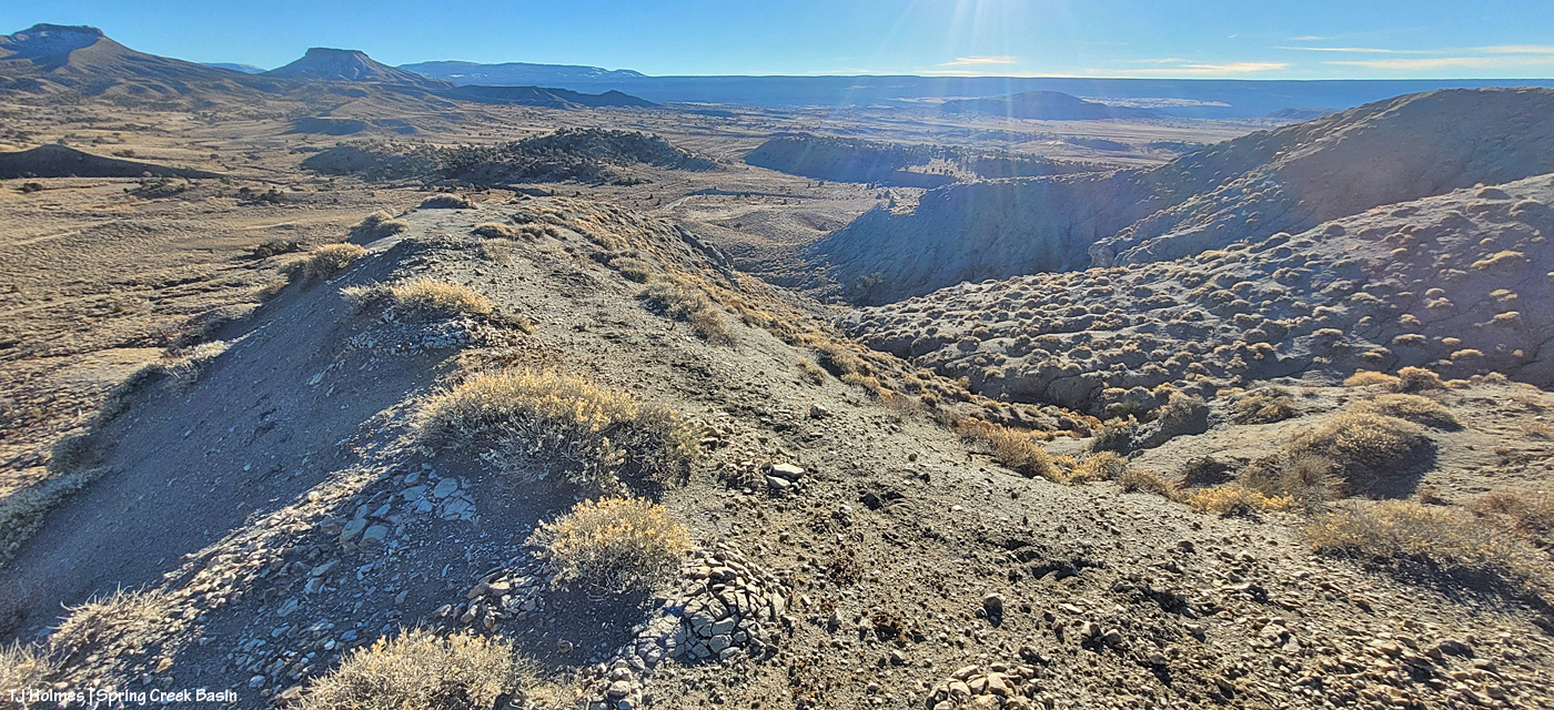
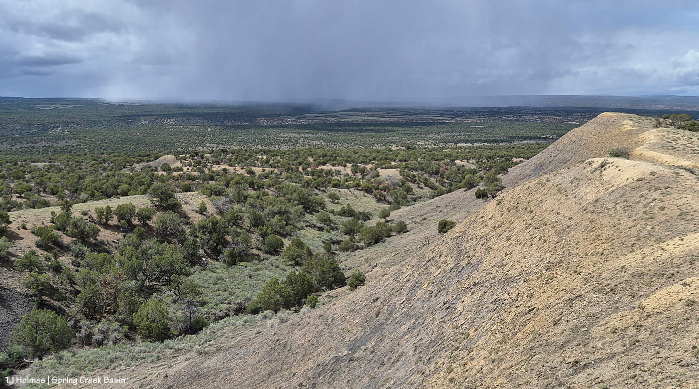
Also from the same spot, looking eastish again as the graupel wave recedes, driven by a strong out-of-the-south wind (I lost track, but at least three, maybe four went over us Tuesday morning). You can see Brumley Point very distinctly, submarine ridge and McKenna Peak to the left it it, and you can’t quite make out Temple Butte. If you slide back up to the first pic, Temple Butte is juuuuuust barely visible at far left, just under the power lines. And yes, the sunshine IS coming back out over the rest of us while the wave pushes north to the east.
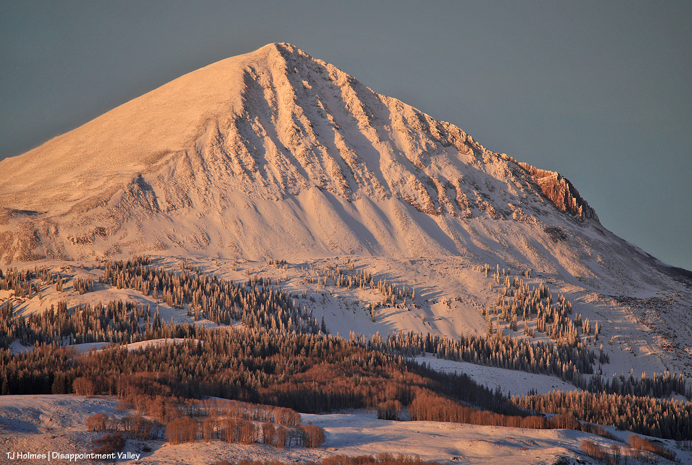
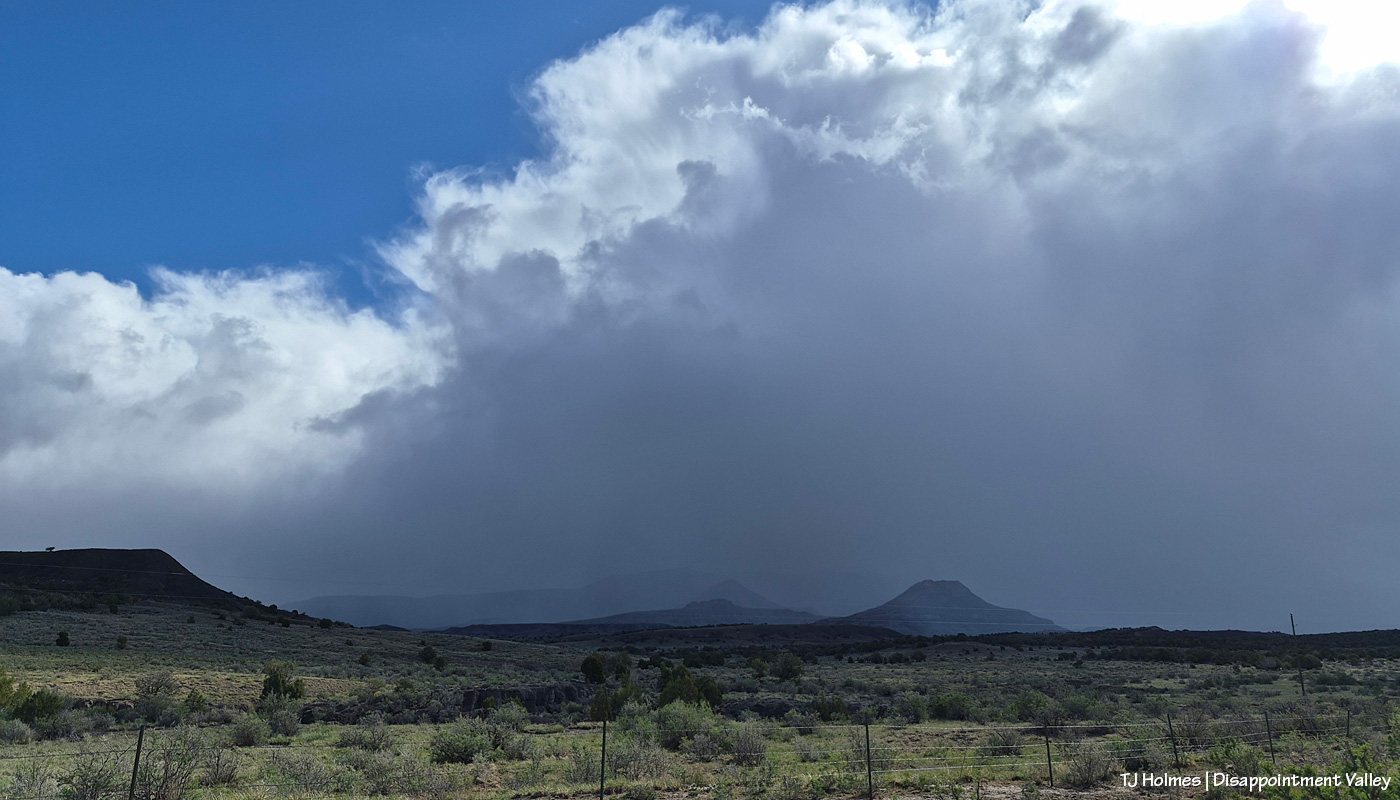
With Artemis II and its remarkable human beings on board, their mission, their accomplishments, the images they sent back, from space looking home, in mind … and realizing the absolute tiny-ness of this one itty-bitty part of our great, wide, wild, wonderful, big blue marble … ain’t Earth gorgeous? Now you can see Temple Butte’s promontory emerging from behind Brumley Point (see the graupel/moisture evidence shining below its rimrocks?) and submarine ridge and McKenna Peak. And though you can’t see them in this pic, there were two groups of mustangs out there. Across the road and on the other side of that fence IS Spring Creek Basin.
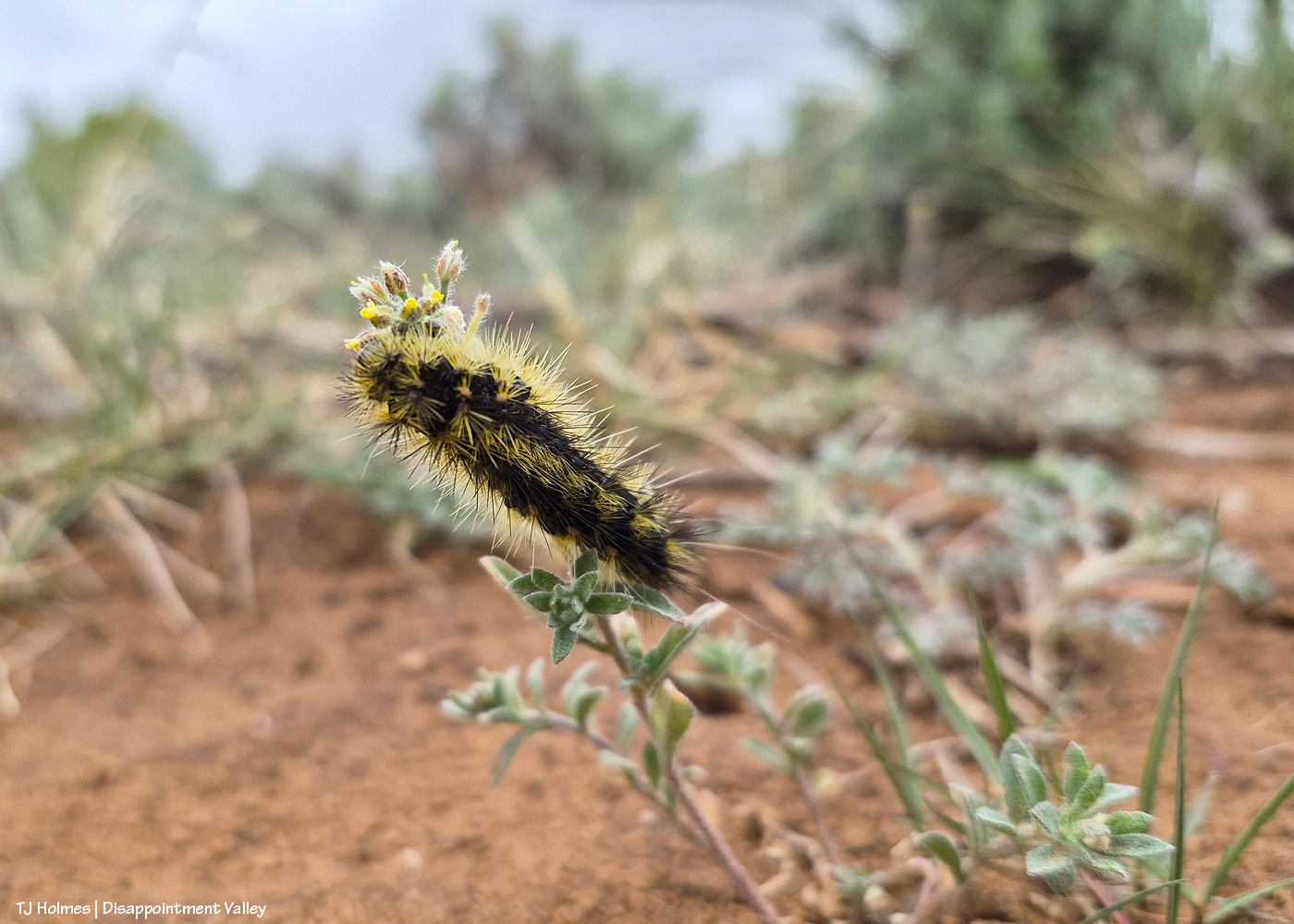
Anybody know what this prickly little caterpillar is called? I’m not sure of the plant it’s on, either.
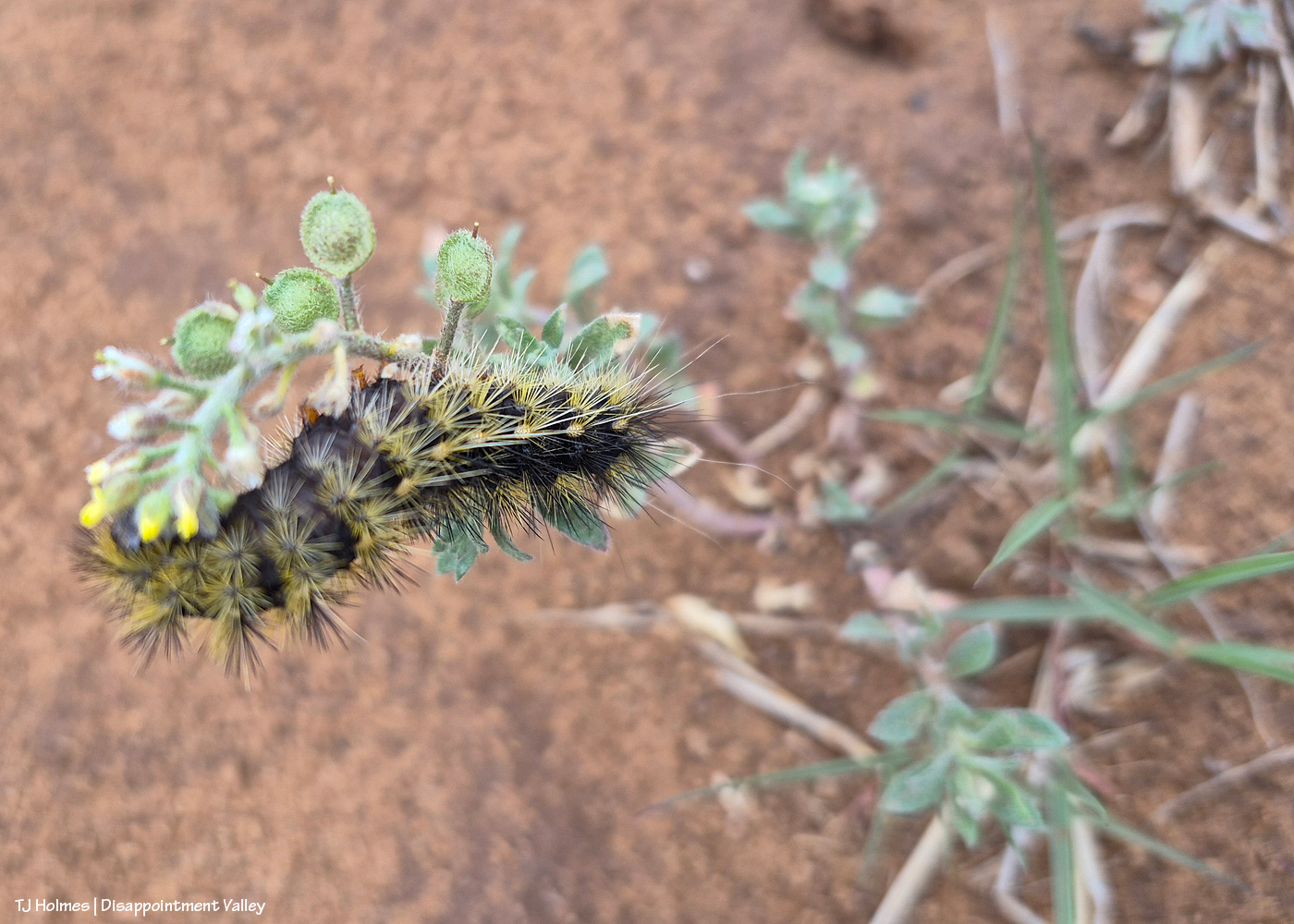
I tried a lot, but I could NOT get the eye end (far left – is that an eye?) in focus. Of course, I didn’t know that in the field, not having my eyeball glasses on and looking through the glare of my phone screen, but I did try a number of shots with high hopes. One of our BLM range guys recently posted a pic of the same caterpillar, but he’s a plant guy (and an extraordinarily awesome one), not a bug guy, so I’m sure he can tell me the plant, if not the bug (!). If I reach him for an ID before this posts (or even after), I’ll update.
** Update from Ryan, BLM rangeland management specialist and all-around plant guy!:
“Cool that you’re seeing the same caterpillar! [He saw the same kind recently in Canyons of the Ancients National Monument, southwest of Spring Creek Basin.] I’m very curious as to what species of butterfly/moth they will turn into, I’m not good at insect ID but will ask Nate West [BLM wildlife biologist]. The plant that those are on is a mustard species called Alyssum simplex, commonly just called madwort. It’s a pretty prevalent non-native annual that is really common around here, unfortunately. It’s a beautiful picture of the hair-structure on the caterpillar!” Thanks, Ryan!
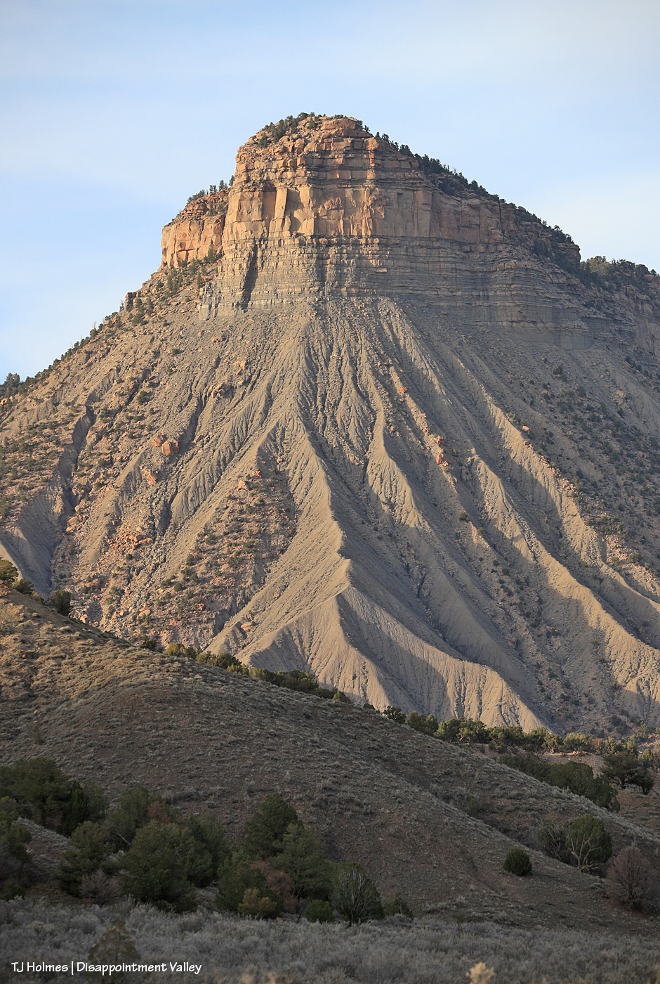
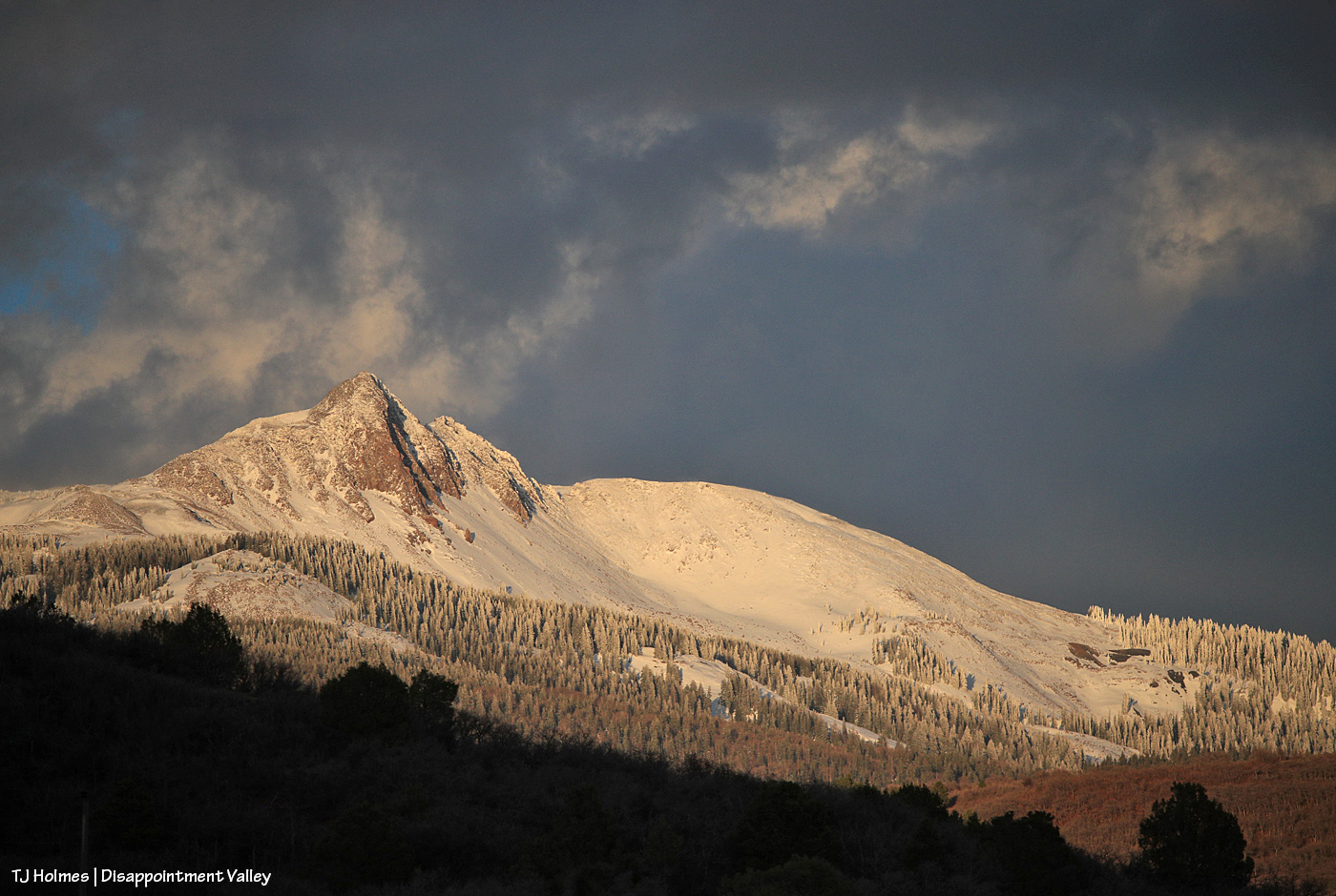
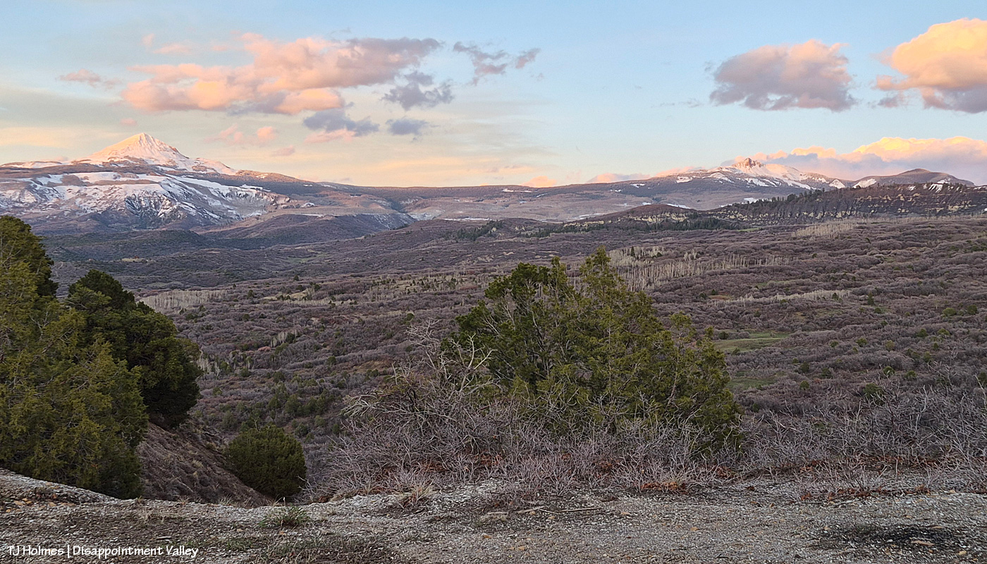
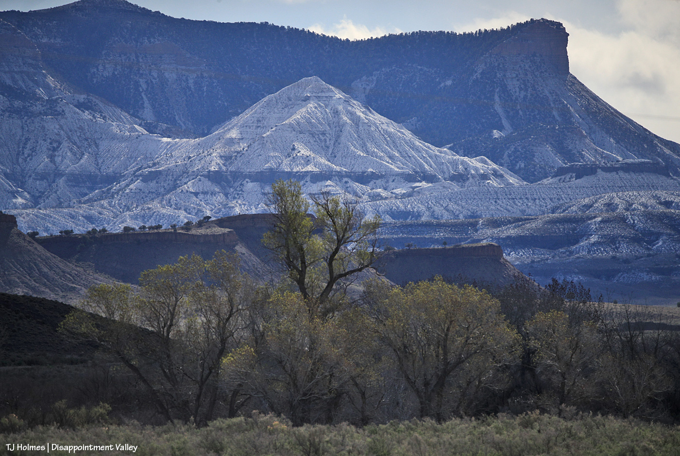
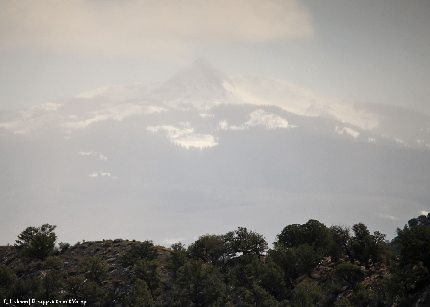
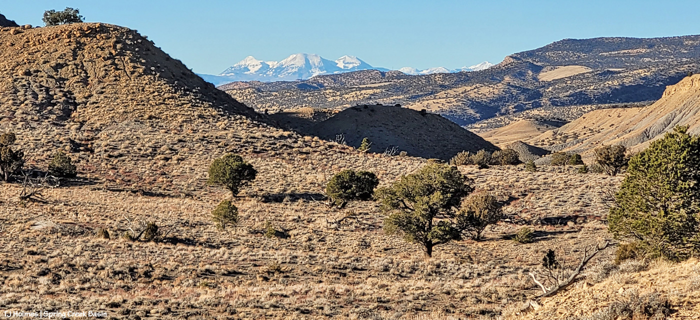
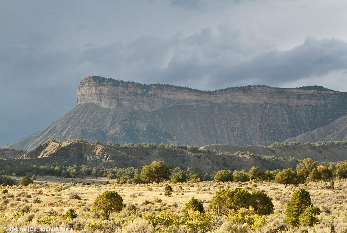
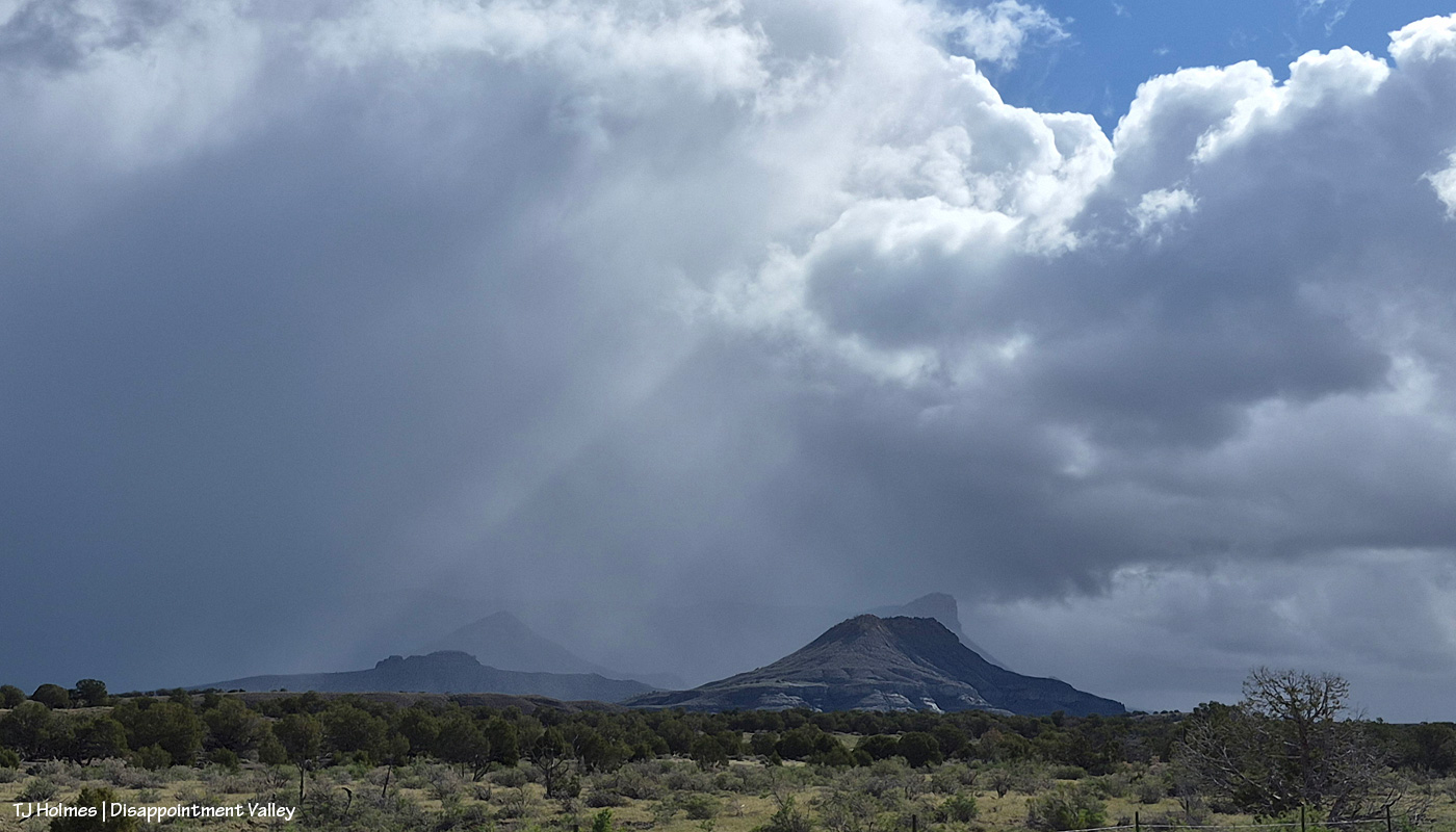
The reason you can’t see Utah’s La Sal Mountains in this pic – way northwest of Spring Creek Basin, from the very far southeastern part of Spring Creek Basin – is because the rain/graupel/snow wasn’t through sending waves over them. 🙂 You CAN see, from right to left, Round Top, Flat Top (looks sloping), Filly Peak and the south-facing rimrocks. Disappointment Road is over to the left somewhere (not far)
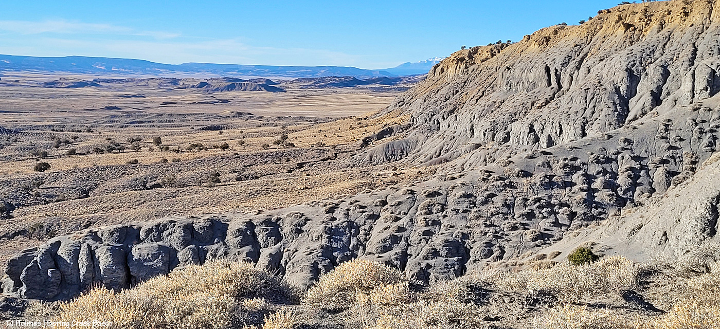
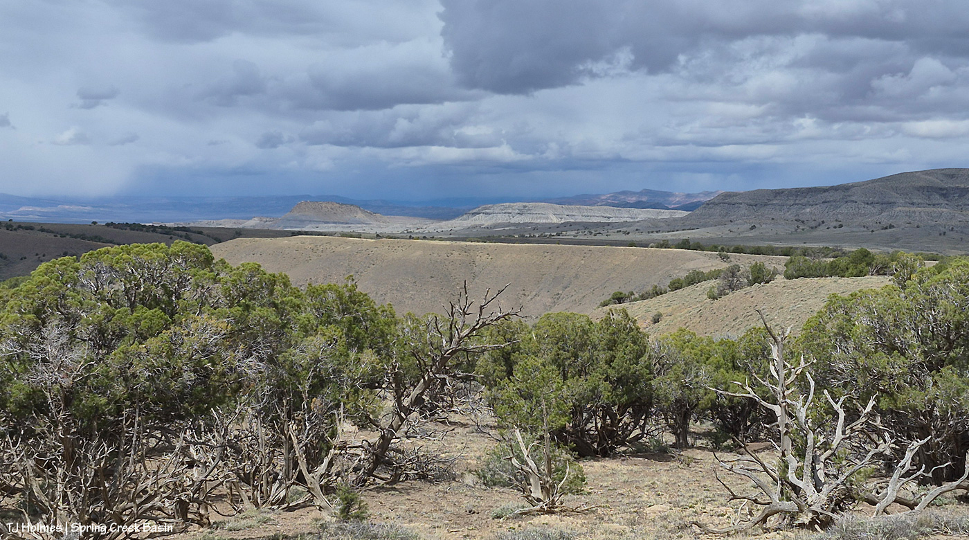
From here, we’re looking over not much of the southern part of Spring Creek Basin Herd Management Area (the pic above this one has a perspective to the right of this one) but a lot of the south/southwestern part of Disappointment Valley (most but not all of the pinon-juniper woodlands as far as the eye can see). The near pinon-juniper is within Spring Creek Basin.
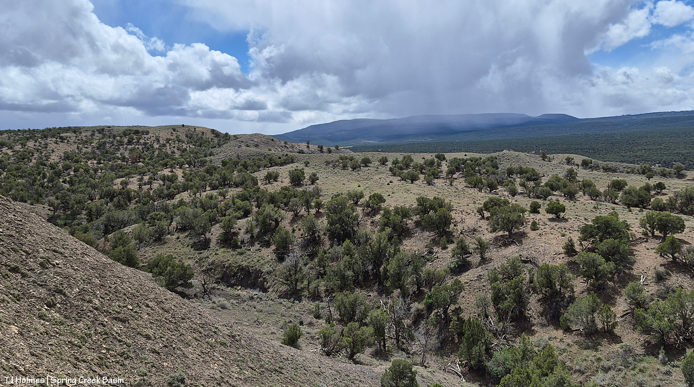
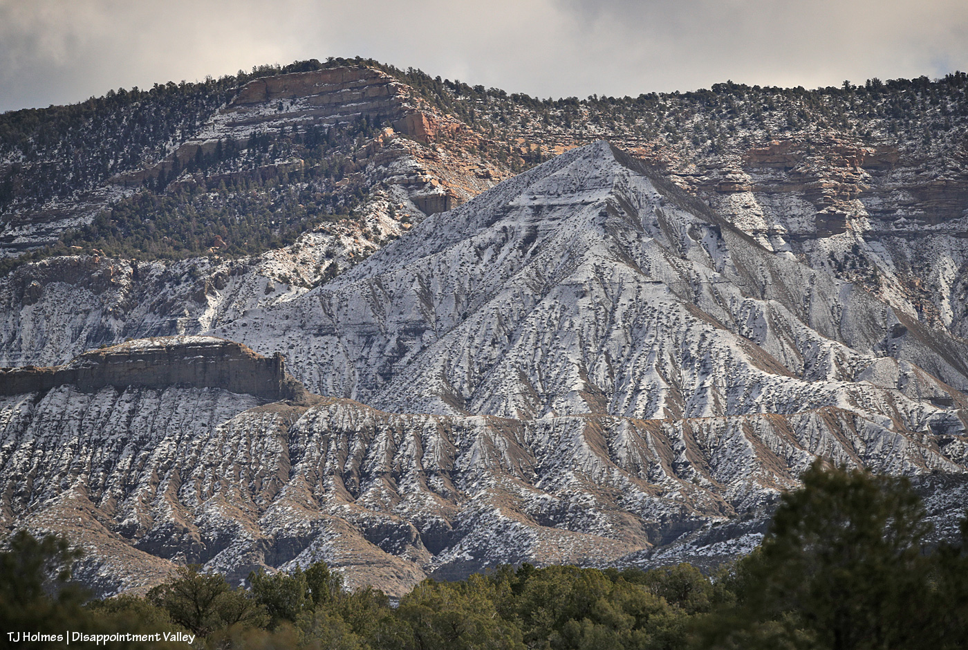
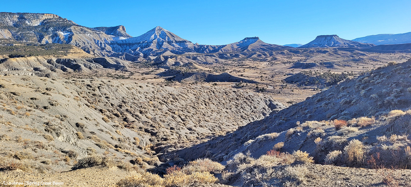
From the same spot now looking back to the south/southeast at another little rain/snow/graupel-fall, toward the Glade and Benchmark Lookout (hi, Rick and Linda! (I think they’re not at the fire lookout tower quite yet)). The near hills and pinon-juniper are all within Spring Creek Basin. The far, thickly treed ridges are partly (middle-ish ground) part of upper Disappointment Valley and partly (farther) part of San Juan National Forest lands beyond Disappointment Valley and its watershed.
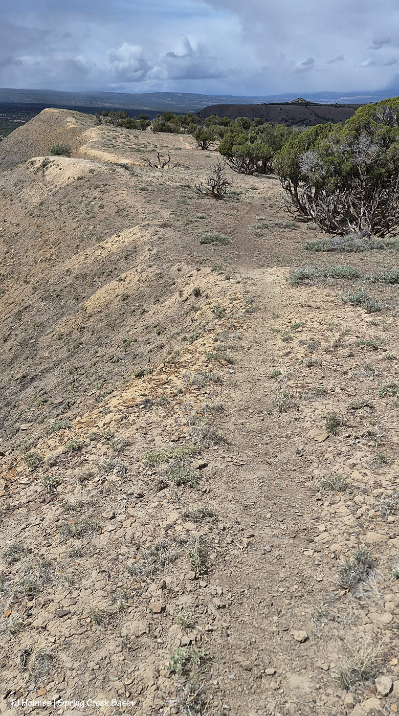
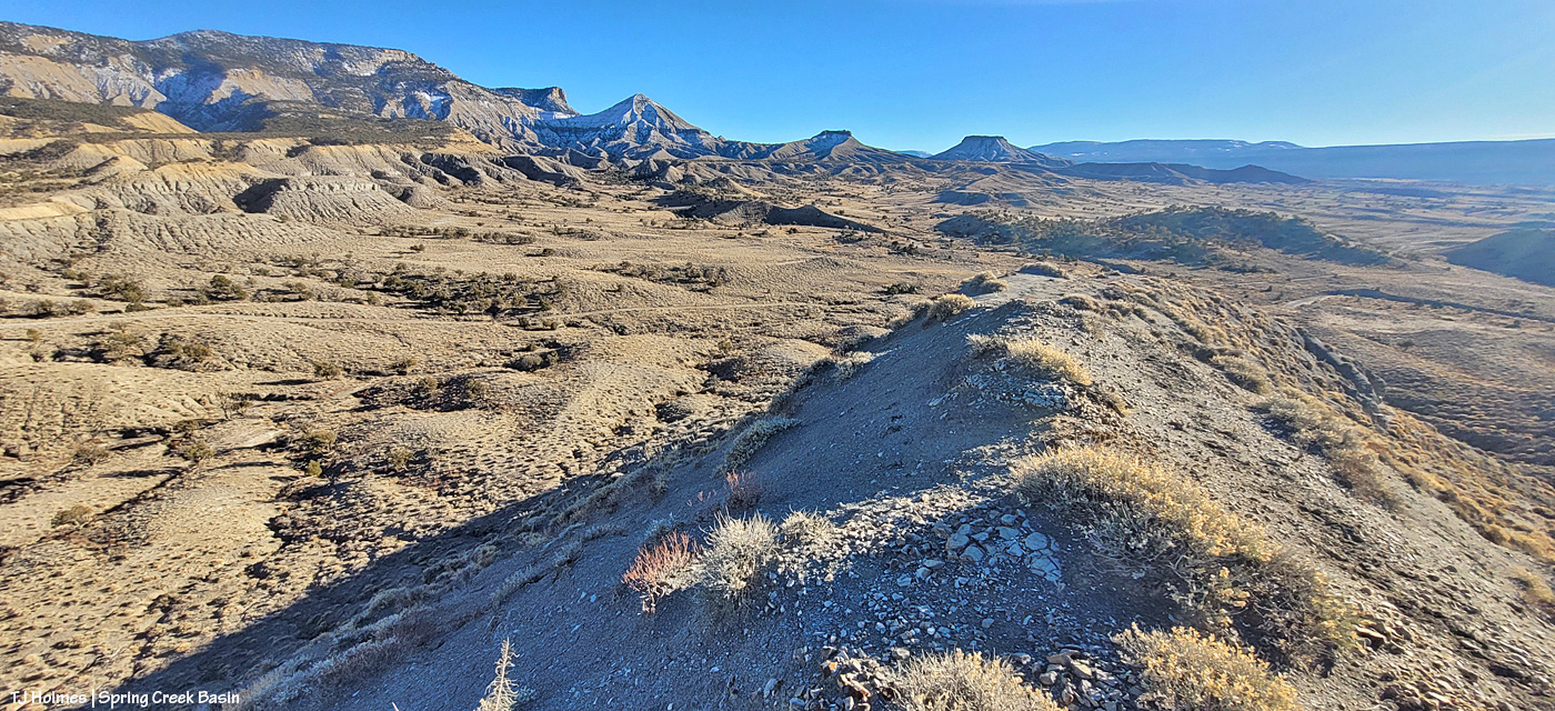
And what the heck was I doing at the high end of a long drop? See the horse trail? 🙂 I was following where the sure-footed have gone before me (and not for the first time).
The above are in order of how I took them … hours apart from first to last.
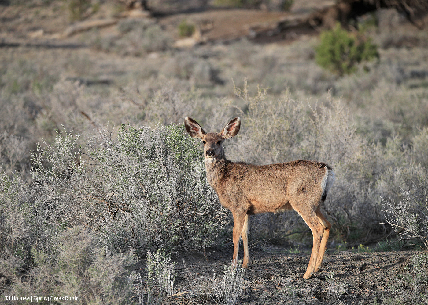
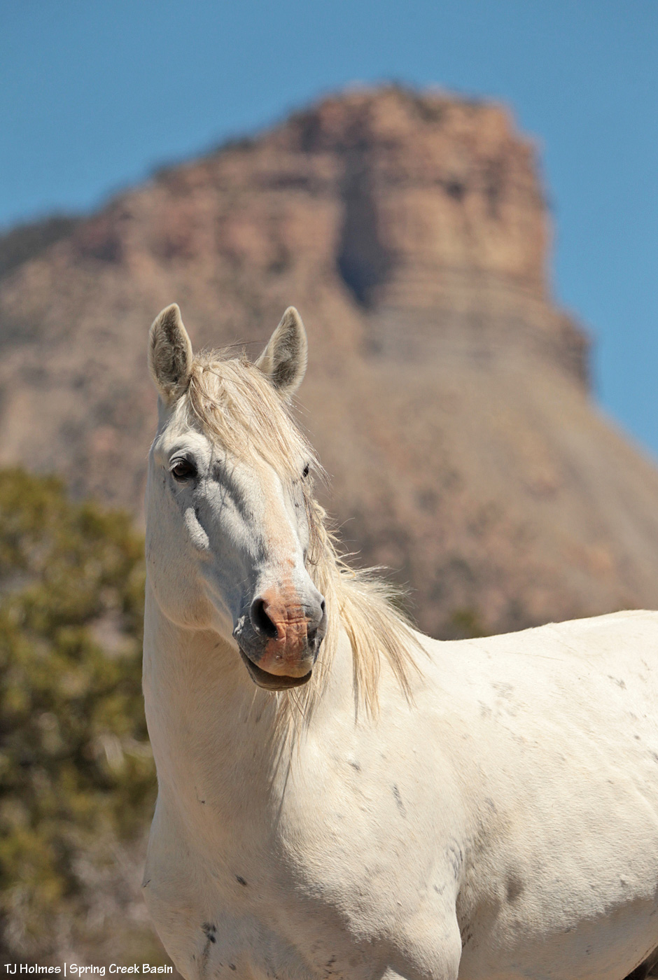
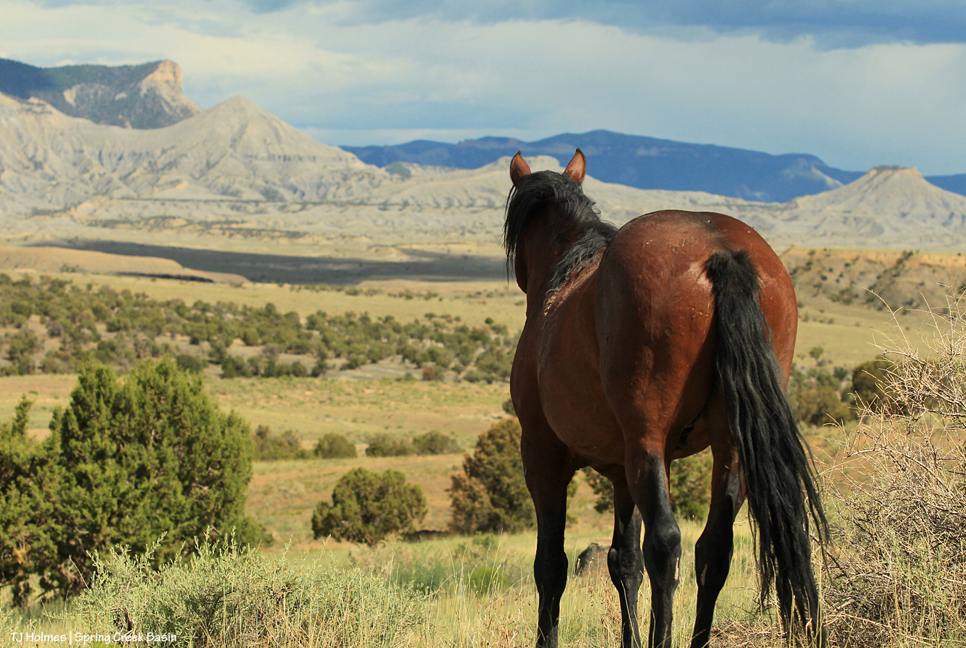
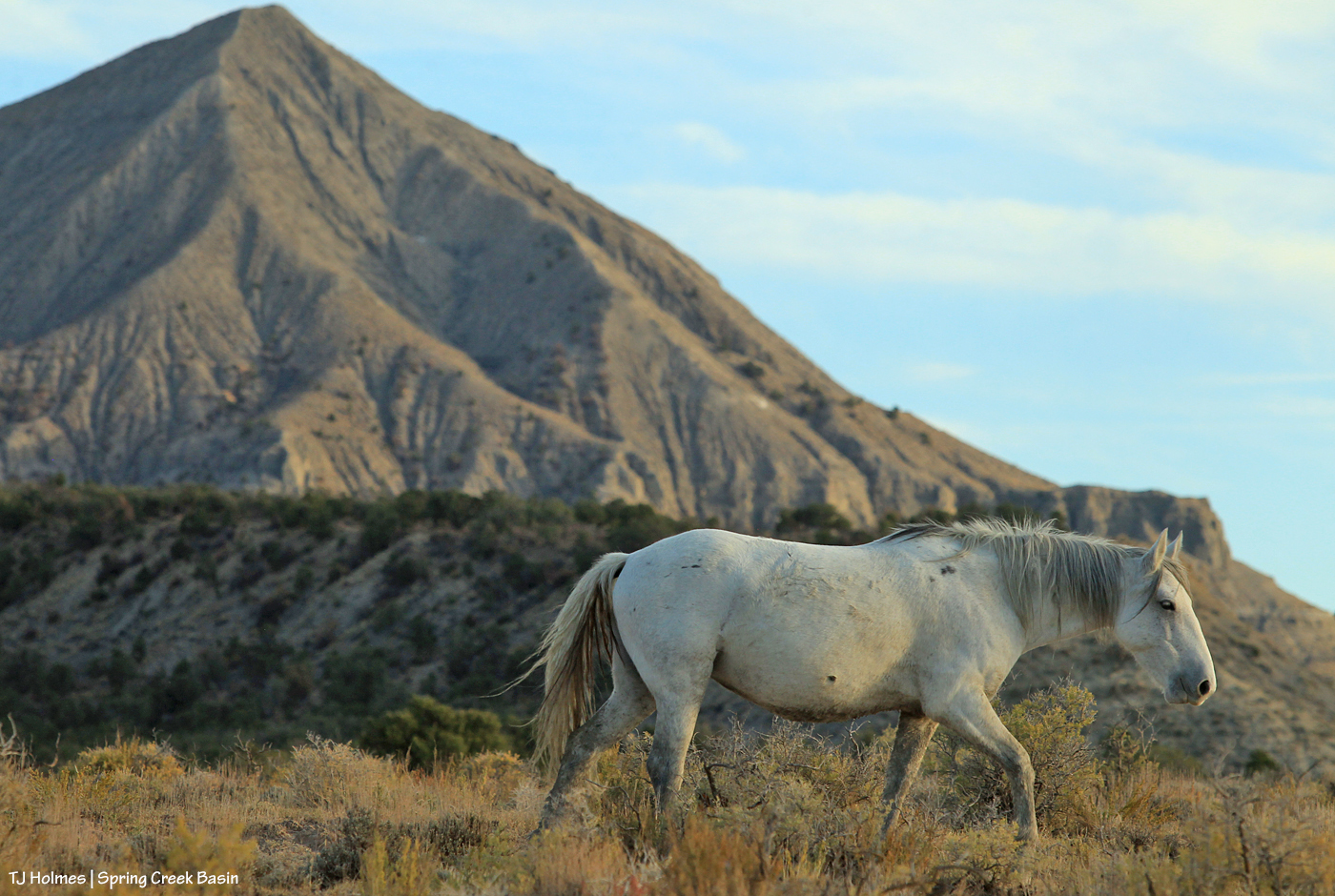
And because you came here for the mustangs …
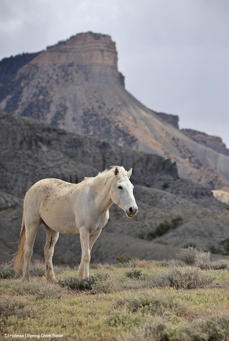
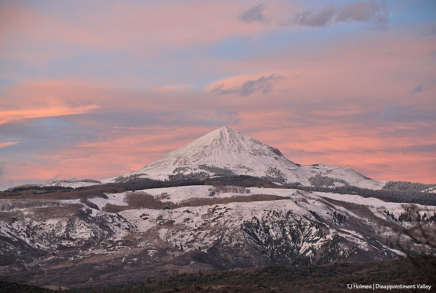
Mysterium, modeling her scruffy-chic look (fashion designers, take note – ha!) below Temple Butte. 🙂 Yes, those are a couple of cuts on the inside of her left hind leg, but she’ll heal quickly, as mustangs do!
Thanks, as always, for coming along for glimpses of this special world. 🙂