And we finally got rain …
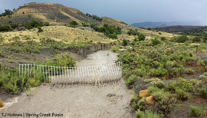
This drainage coming out of Spring Creek Basin usually is wide and dry. The water gap is in case of episodes such as this! The PVC pipe creates a visible barrier for the horses in the fence line, but it swings with the force of water when it flows. This pic was taken from the Disappointment Road looking northeast into the basin. The unnamed promontory is barely visible through rain at far back right. The horses already were taking advantage of the rain and running arroyos; three bands were to the east and north of this point.

A couple of hours later, the big flow was a memory. But I bet the memory lives on in the form of some ultra-full ponds!

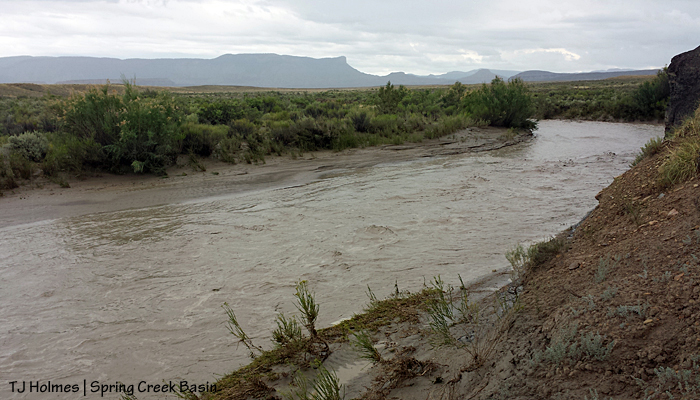
Here’s a shot of the usually-dry Spring Creek arroyo that runs under the Disappointment Road in the northern part of the valley – west of Spring Creek Basin. In the background, you can see the rimrocks that form the basin’s western boundary and beyond, the unnamed promontory. (Yes, that’s dreaded tamarisk along the left bank of the creek.)

And this is Spring Creek a coupla-few hours later after the above peak. Still high but receding.
The above two pix of Spring Creek are together for comparison purposes. The below two photos were taken inside Spring Creek Basin after the first of those two photos were taken.
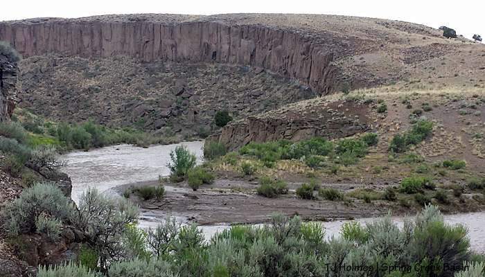
This is the entrance to Spring Creek canyon – site of previous roundups. Spring Creek flows west out of Spring Creek Basin after collecting water from multiple arroyos and drainages in the basin and eventually joins Disappointment Creek, which joins the Dolores River, which joins the Colorado River. Cool, huh? Spring Creek flows only during major rain events like the one today. Spring Creek and Spring Creek Basin are not interchangeable terms.
Looking upstream, sort of east-southeast. It was raining when I took these photos, so I didn’t stay long.
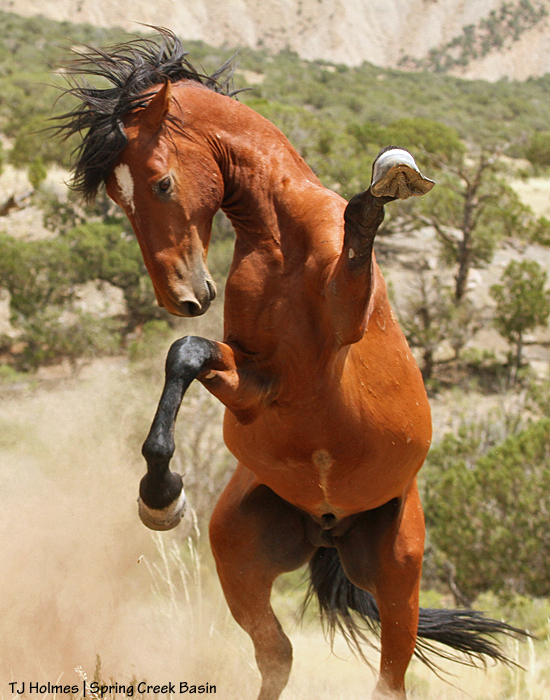
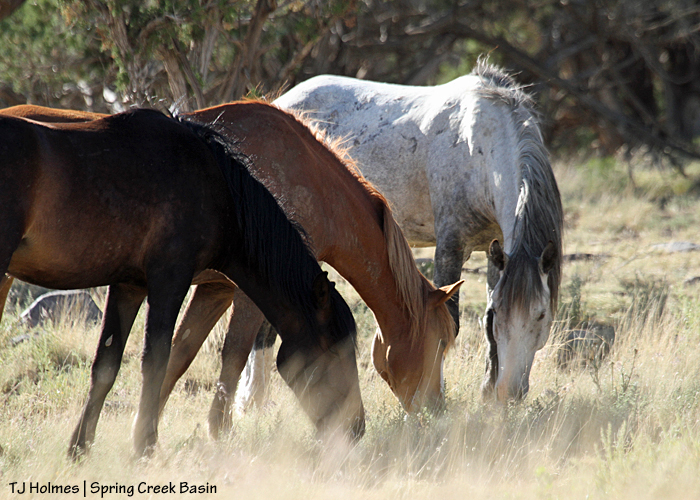
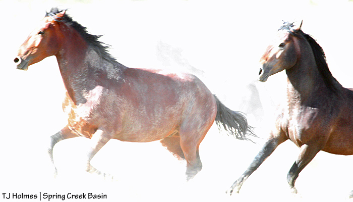
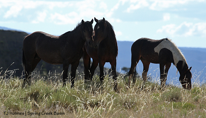
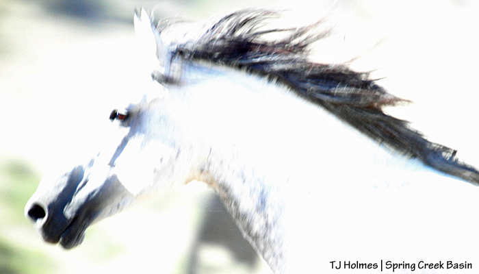
Rain. Lifeblood of the desert and its inhabitants. I cry at its lack, and I cry for joy when it falls. My heart is happy for Spring Creek Basin’s mustangs and other residents.