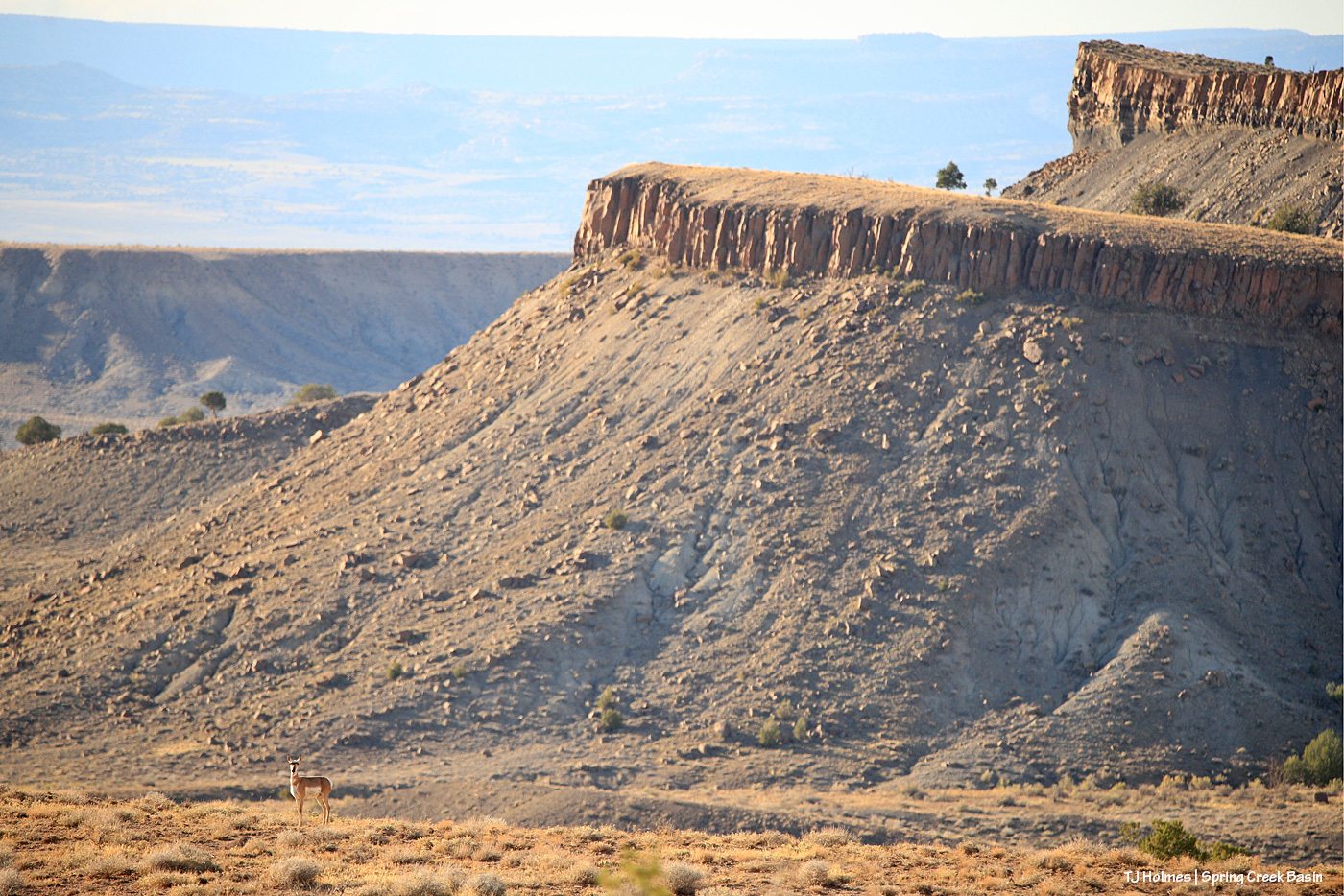
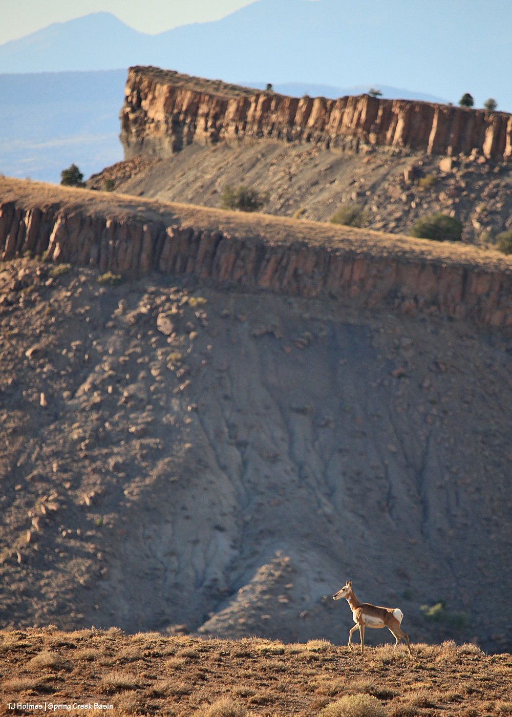
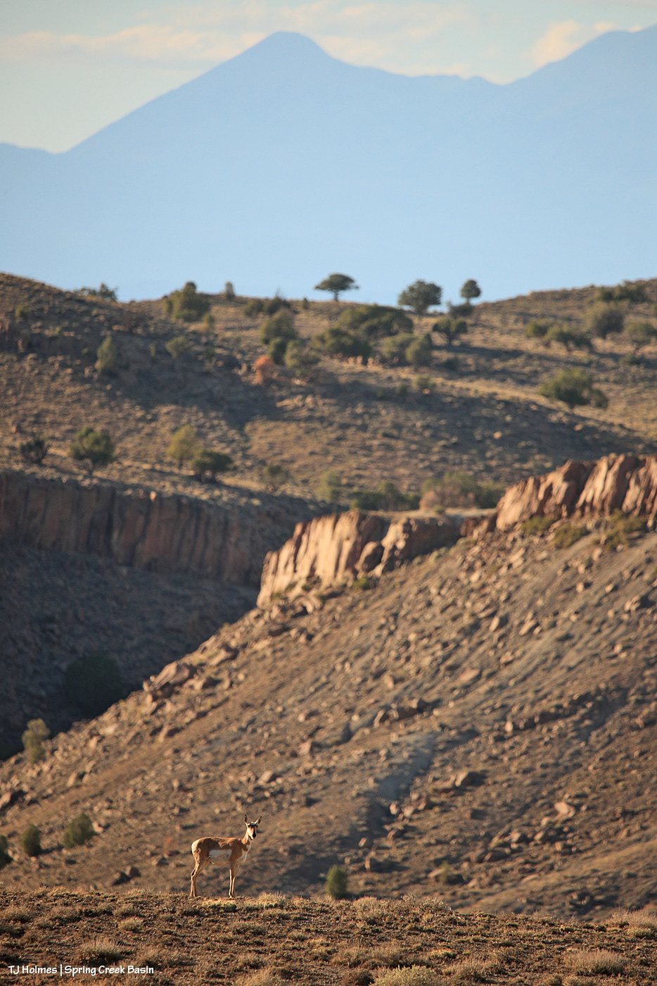
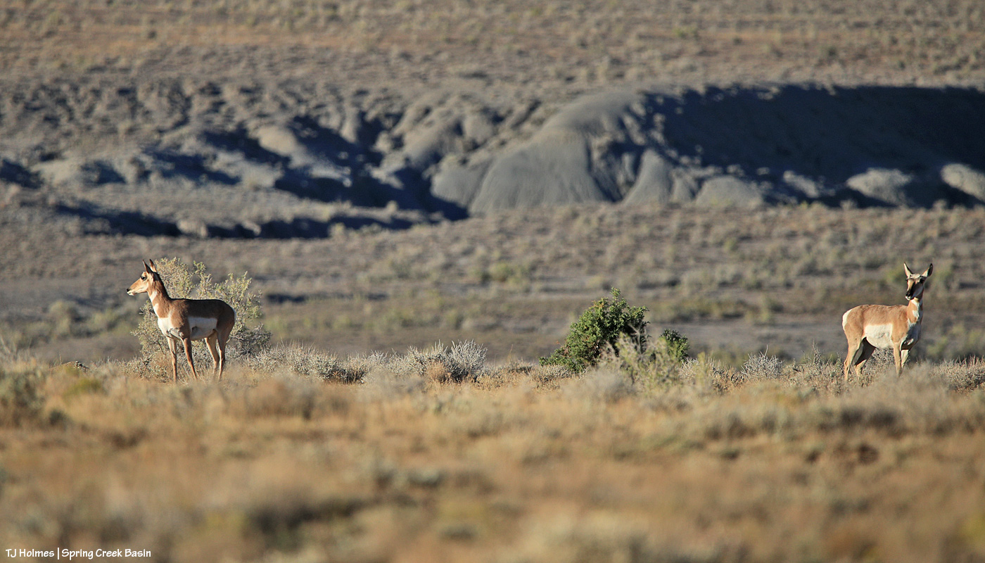
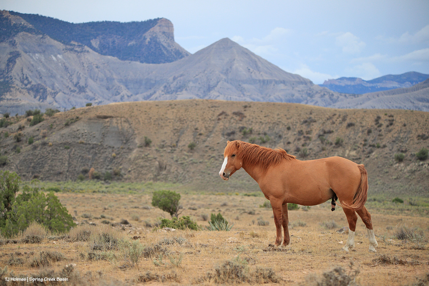
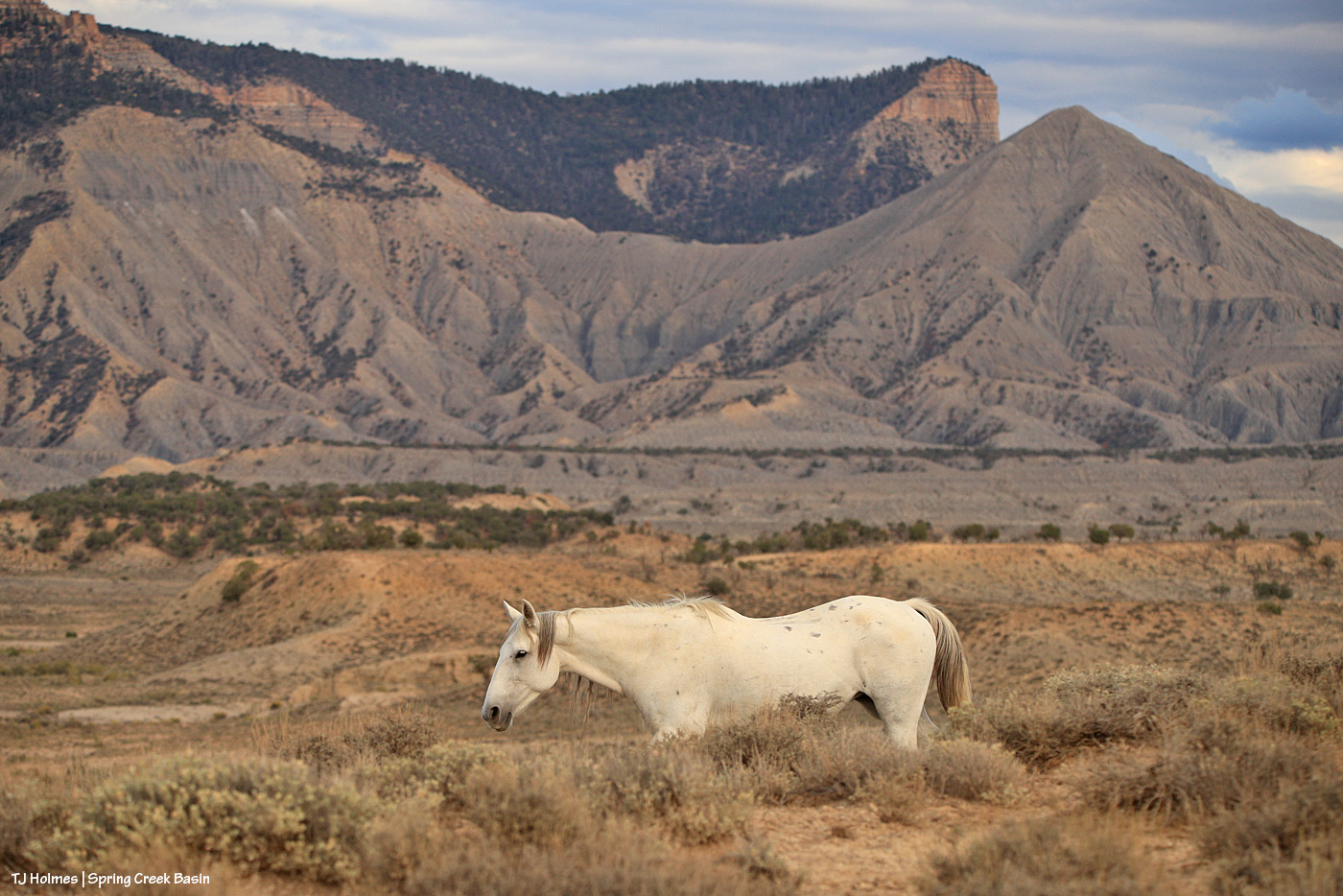
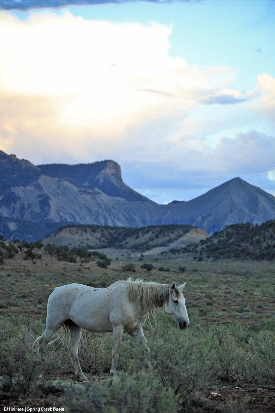
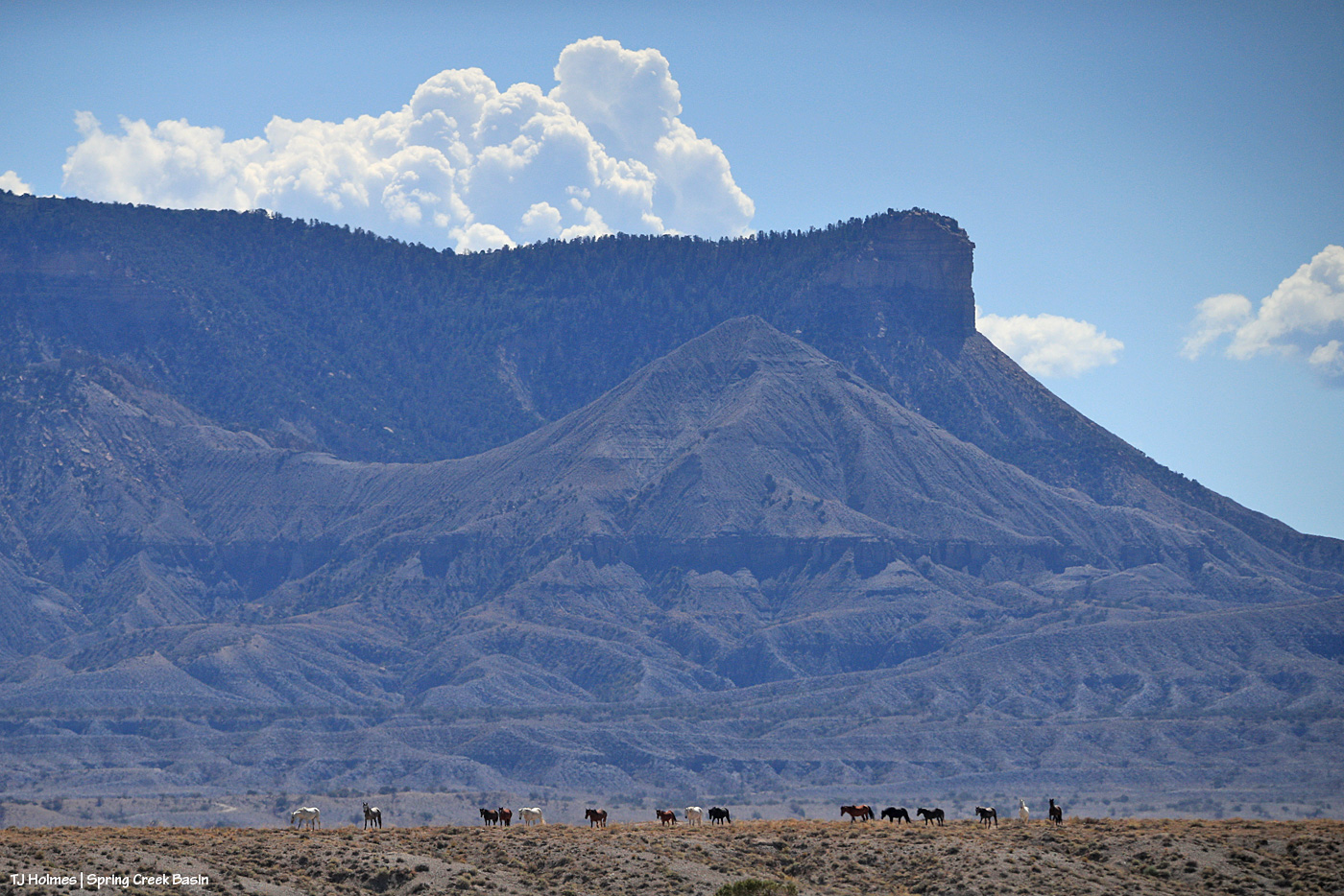
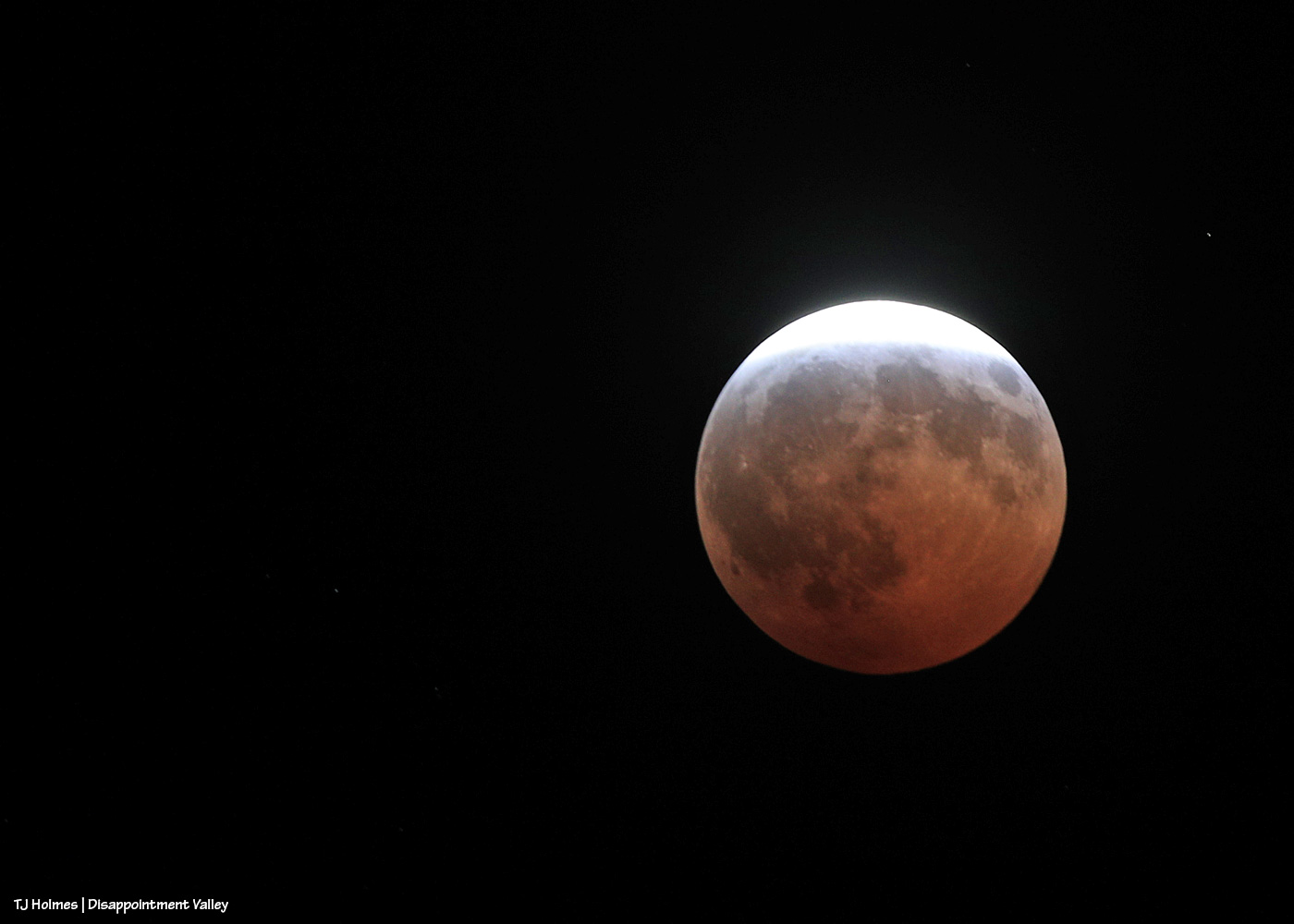
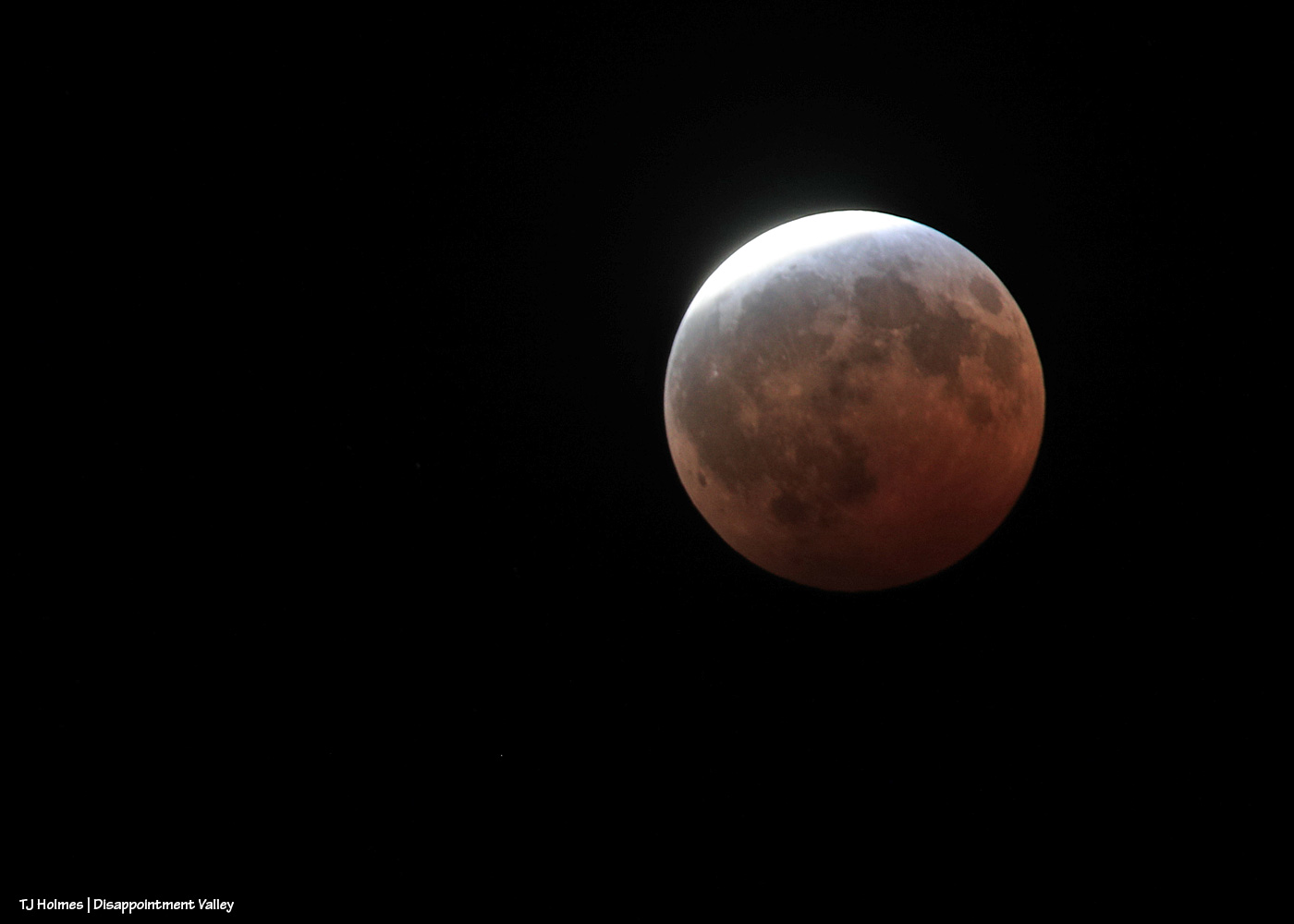
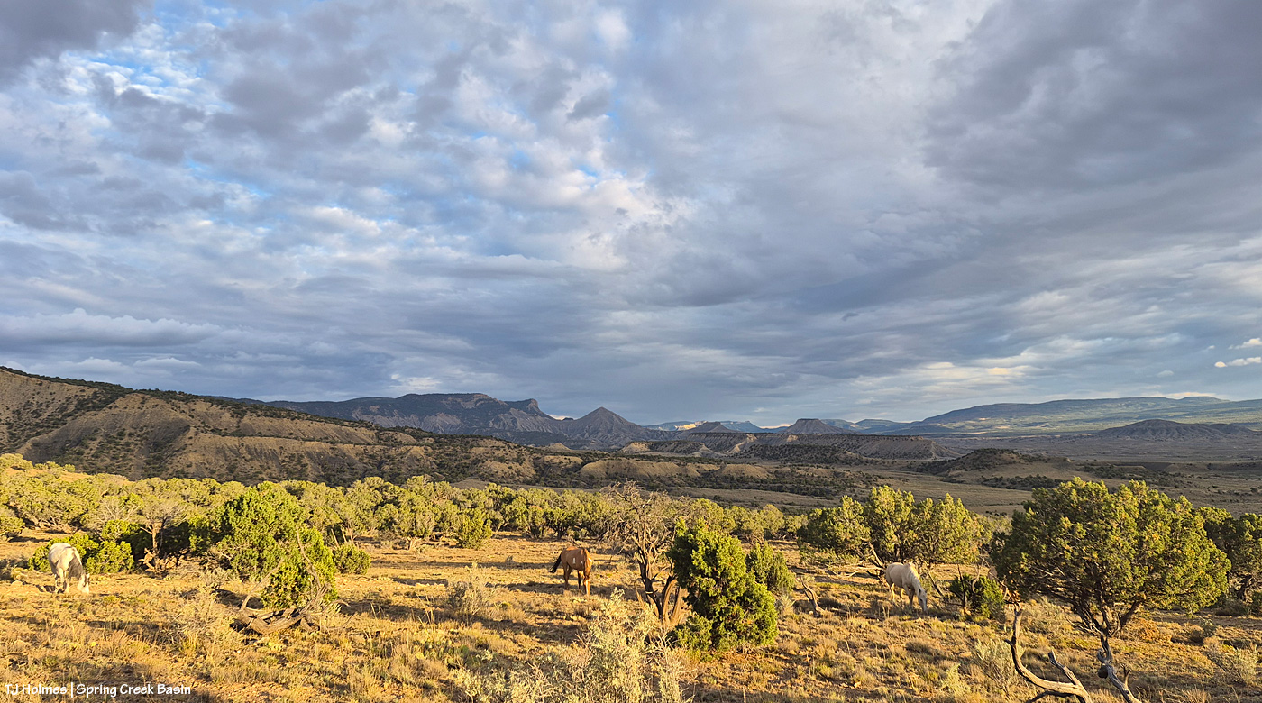
Pretty Mysterium a few nights ago, watchful as her band grazed.
Hottttttttttttttttttttttttt out there. And it’s about to get hotter the next several days. We might be staring down 100s as August begins.

Pretty Mysterium a few nights ago, watchful as her band grazed.
Hottttttttttttttttttttttttt out there. And it’s about to get hotter the next several days. We might be staring down 100s as August begins.

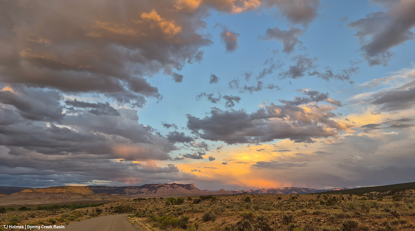
Apologies for the late post this morning; last night’s storms took out my electricity! Very glad of the rain … shown above making its way into Disappointment Valley southeast of southeastern Spring Creek Basin. Seneca really didn’t think she wanted to help show off the view and the rain, but she did an amazing job of it, of course. π
The great thing about the rain is that it wasn’t even in the forecast, so it was a *very* pleasant (understatement) surprise!

Beautiful light on Maiku as he watches another band grazing up the slope. He and his band were napping; the other band was grazing. Very peaceful. At one point, the shadows of the horses on the little rise behind me were over my shoulder as I sat on the ground photographing Maiku, making me feel very surrounded by my loves.
We didn’t get rain that evening, but we got a nice little patter Sunday evening.

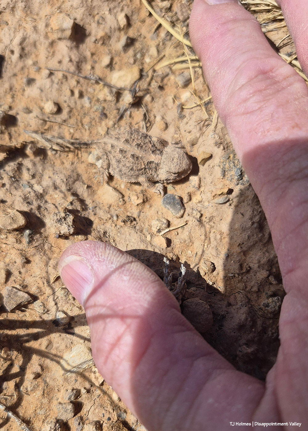
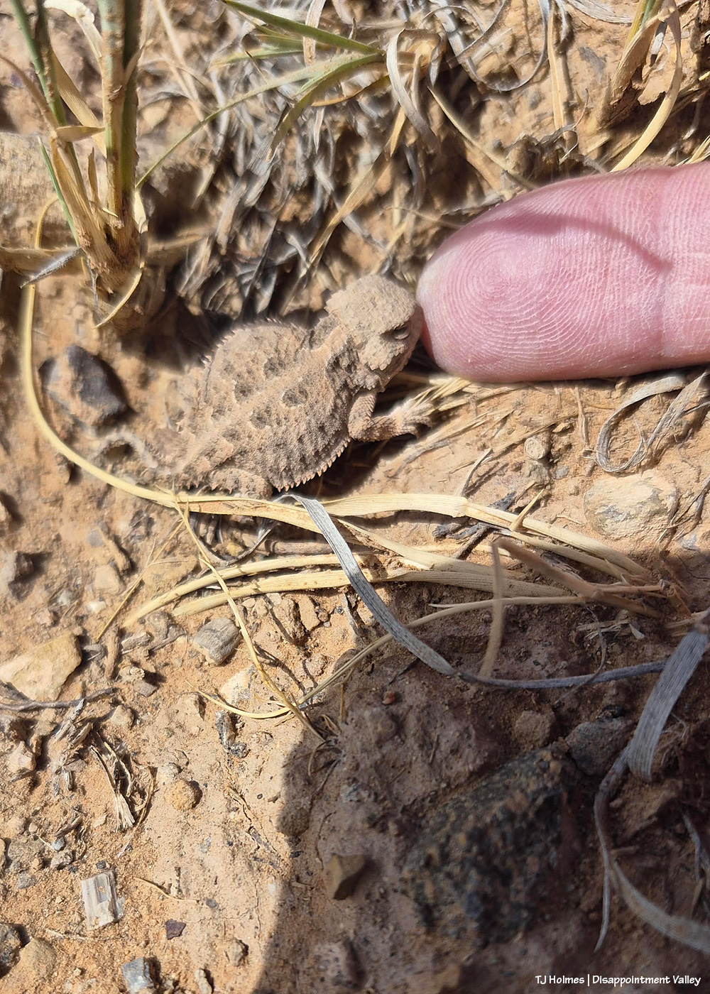
This little fellow or gal scrambled into the middle of a four-wing saltbush (I think? I didn’t stop to ID it at the time). Very shy but maybe one of the bigger horned lizards I’ve seen β and certainly recently. Probably about the size/length of the palm of my hand. I think each individual is different with its coloration/patterns, too. Check out the cool yellowish spots on the dorsal side of this one; they made me think of a butterfly’s markings, so they might be to deter predators?

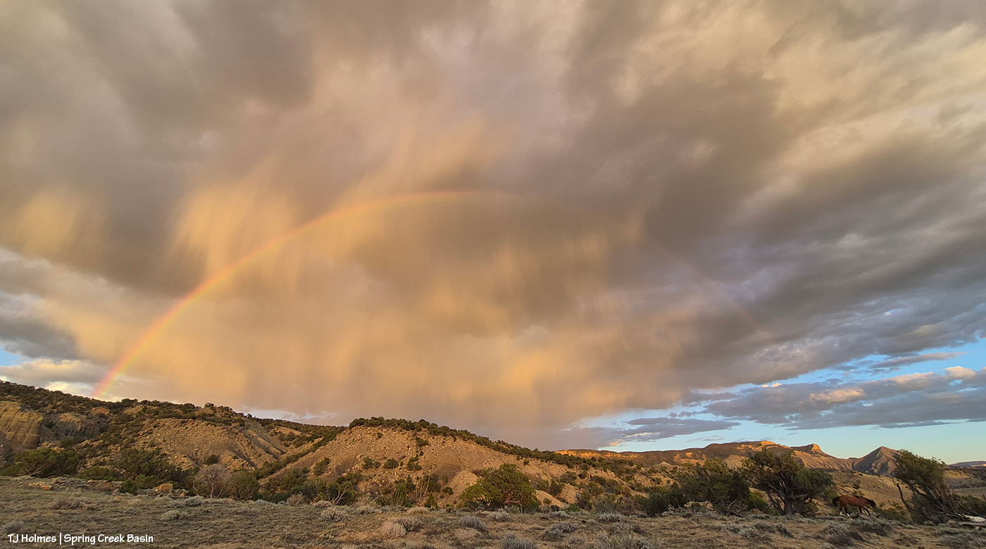
I had just walked back up the hill to the road from visiting with a couple of bands when the sun sank into a low cloud right above the horizon, and I thought (silly me!) that was sunset. … But THEN … the sun found a sliver of a break between cloud and horizon and sent its good-night-world light across Spring Creek Basin. See the partial rainbow at nearly center over Round Top in the low distance? And if you look closely, there’s a band of horses (anOTHER) band of horses) that appeared walking west across the northern base of what I call the east twin butte at lower right.
Note to self: The light’s not done till it’s DONE.
Not much of a theme to the post today … just a couple of glimpses of Spring Creek Basin this past weekend. π
We don’t do things by halves here in Colorado.
Smoke from wildfires? Unfortunately.
Spectacular sky from incoming storm days later? You betcha.

From Spring Creek Basin’s western rimrock boundary looking southeast at the very end of yesterday.

Looking east from the same place. The storm was to the north β our left as we’re looking out over the basin here.
One of the most spectacular jags of lightning I’ve ever seen lit up that northern sky (not close, not nearly far enough away), and I took that as my sign to hit the road, which was still a bit of a hike down to the right. As I headed down the hill, so did the ponies I’d been visiting with. No fools, they (or me!).

This pic, taken Sunday from between the main/original water catchment and Filly Peak in Spring Creek Basin, is looking southeast toward the Glade and Benchmark Lookout. A few days before, I’d seen the red swaths of retardant across the trees while looking at smoke up there, but I didn’t manage to get a decent pic that showed it. While fire continues to smoke in that area (that’s the Ferris Fire’s northeastern edge), clearly firefighters and aircraft pilots have been hard at work. So hugely grateful! Rick and Linda Freimuth, who staff the tower during the fire season (!!!) hope get the green light to return this week. The mustangs and I (you know they would if they could) will be cheering their return.
Now, some taken yesterday (Monday):

Storm brewing to the east. Spring Creek Basin’s western rimrocks and Filly Peak (lower left) are in sunshine, while Temple Butte, McKenna Peak, Brumley Point and the basin’s eastern ridges are shadowed by rain! Woo-the-heck-hoo!

Looking back to the west from the same spot as above. More rain! What looks like white smoke on the horizon at left IS smoke from the Ferris Fire … and I hope it got a good dose of the wet stuff. It wasn’t a high-rain-chance day, but toss the forecast and let ‘er rain!

Methinks the weather wizards were outsmarted by Ma Nature herself. π RAIN, BABY, RAIN! This is from Chrome’s Point in western Spring Creek Basin, looking eastish at a curtain of rain that DID, as I was taking pix, make its way west. Unfortunately, I didn’t get tooooo wet. Ha β I would not have minded!

Ants congregating at the entrance to their mound. Apparently, “Ants congregate at their mound entrances after rain primarily to survive flooding. When underground tunnels fill with water, the colony is forced to evacuate. They move the queen, larvae, and food upward to escape the saturation, using the surface or mound entrance as a temporary, elevated sanctuary.” Interestingly, these ants and others I saw doing the same thing in the same relative area happened to be on some of the highest ground in the basin, near the western boundary. I guess that when you’re an ant, everything is at the elevation of ground level (ha ha!).

From the south wall of Spring Creek canyon looking eastish after the rain (it didn’t last very long, unfortunately).

Hope you don’t mind this view! It’s pretty spectacular. No, that’s not a road down there in the canyon; that’s Spring Creek arroyo, and just beyond (lower left), it leaves Spring Creek Basin to cross lower-ish Disappointment Valley on its way to join Disappointment Creek (neither of which are carrying water at the moment).

See the pinto pony? This is from the same point as the above two pix, looking generally northwestish across lower Disappointment Valley toward Utah’s La Sal Mountains. There’s a fence across this lower end of the canyon to keep the mustangs within Spring Creek Basin, and there’s a water gap (hanging PVC pipes to move when water DOES flow) across the Spring Creek arroyo. There are a couple of manmade structures down there, one behind McKenna and one kind of in front of him.
As it turned out, though he and his pal and a band were in the vicinity β and the reason I walked out β it was something else entirely that actually took me all the way to the canyon rim. … And that will wait for another post because I got some pix that knocked even my socks off.
To end this post, news that I never want to post because I want it to never have happened, some really tragic news from the Gold Mountain Fire near Ouray and Ridgway: A pilot was killed Sunday when his aircraft, used to aid firefighting efforts on that fire, crashed into Silver Jack Reservoir, in southwestern Gunnison County, on the northeast side of the fire. It’s the worst of all news to lose another firefighter. π¦


After some reports from different sources of tiny bits of rain here and there (Tuesday day/night, maybe some drips Wednesday), the sky was much more our normal and beloved Colorado-blue than we’ve seen in a run of smoky days. Ferris Fire (60,104 acres as of Wednesday night) smoke at left; Babylon Fire (101,073 acres) smoke at right. Looking mostly south.

The fire must have gotten into some new, untouched fuels by evening because by 7 p.m. or later, it was really sending up a plume. That’s Filly Peak in the near background, and you can see a bit how perspective matters: Not only is the fire not directly behind it, it’s not *super* closely behind/south of Disappointment Valley’s south ridges. (I did still see a little line of smoke in the Ryman Creek area a bit later.) Mustang ponies in the middle ground, napping.

This and the above pic toward Filly Peak were taken from the same vantage point: Chrome’s Point in Spring Creek Basin’s far western region (not far from the rimrocked western boundary). This one is looking slightly leftish of Filly Peak and southeast/east. The smoke is fairly faint … a MUCH better sight than we’ve had the last many days.

Those are more clouds than smokedrift, though, of course, there’s still smoke there from Utah’s huge Babylon Fire, now more than 101,000 acres. … Mother Nature is trying to stir up the clouds into delivering rain.

See the pillars of sunset glow at left? I love it when the sun waves goodnight to us like that.
A couple of links to articles I’ve found interesting recently:
Tribute paid to Emily Barker, Nick Hutcherson and Sydney Watson, who died fighting the Snyder Fire. Held in Grand Junction, Colorado. Impossible to imagine the pain of their families and colleagues and friends.
“Monsoon rains are on the horizon,” say the weather wizards, err, experts. We can only hope they’re finally going to be proved right. Some super heat is on tap first.
How some ranchers are coping with the stress of protecting their cattle and grazing lands. This really made me think of the hard-working ranchers I know.

Probably, it’s hard to tell what you’re looking at here: It’s ash on cobweb over an old critter hole.

This one is more recognizable: That’s a Gambel or scrub oak leaf (or if some other kind of oak, please let me know). Burned. From the Ferris Fire (I know this because 1) we don’t have scrub oak in Spring Creek Basin (maaaaaaybe in the most upper elevation reaches), and 2) there’s no fire in Spring Creek Basin).

I’m not sure how far south the fire is, as the eagle flies or the oak leaf flutters, from even the southwestern edge of Spring Creek Basin, and I found both of the above things in the sort of almost-northish region of the basin. Kinda wild.

Mariah was not super interested in modeling in the smoke. Can’t blame her.
All above pix taken Monday evening. As of Tuesday morning, the fire was at almost 57,000 acres and still 22% contained.
The little things ARE the big things for us who love them all. Continued prayers and gratitude to all firefighters working on this fire (and all others) in all capacities.

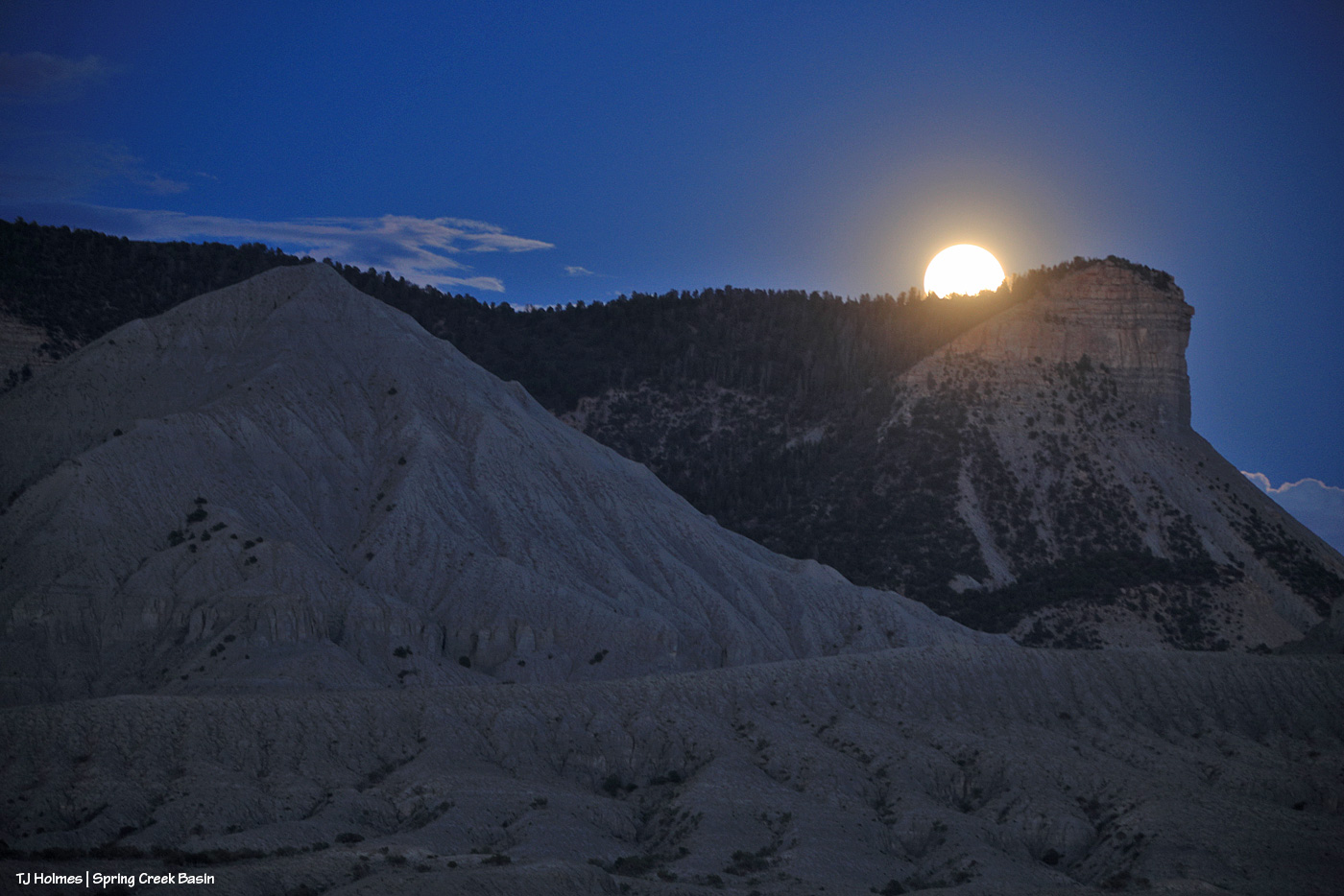
Temple is the “sparkle” on the Fourth of July. π
Smoke? Yes, we still have it, sometimes worse than others. Ash? We’ve been getting that, too. On my hikes in Spring Creek Basin, I’ve been seeing these weird black things, and when I reach down to touch them or pick them up β almost thinking it’s a rock or some kind of leaf? β they disintegrate in my fingers. But I haven’t been ready to call those bits of ash β they’ve been maybe about the size of a fingertip? Not large, not tiny. But today, no mistaking it, though it’s much finer and mostly white/grey. Hard to get a pic that shows it.

This is ash on water. Not sure it shows well?
From Watch Duty’s report Sunday night:
“Containment on the Ferris Fire has increased to 21% at 47,780 acres.
“Firefighters continued suppression efforts along all areas of the fire Sunday including significant firing operations in a finger canyon along the western edge of the Dolores River Canyon west of Five Pines Canyon.
“Crews strategically applied fire to widen and improve dozer lines and remove fuel in front of the advancing fire and reduce the potential for even more acres of uncontrolled fire impacting private and public lands.”

Smoke from the western/southwestern side of the Ferris Fire is at far lower right on the southern horizon of Disappointment Valley, blowing north/northeastish across the southeastern horizon. You can see part of McKenna Peak and Temple Butte at far lower left. The smoke low and to the right, that starts to obscure the farthest lower hills/ridges in the background is from the fire’s northeastern push into Ryman Creek drainage (that area) south of upper Disappointment Valley.
The smoke was not fun this morning and into the afternoon (hello, the ash). Fortunately, it lifted in the lower-mid part of the valley by the time I took the above pic, probably around 7:30 or 8 p.m.
And we carry on.
These pix were taken the evening of Friday, July 3:

I wasn’t going to go to Spring Creek Basin on Friday. Just watching the smoke from a relatively safe vantage, I *cannot* even begin to fathom the strength and accompanying exhaustion of the firefighters, the law-enforcement rangers, officers, deputies, residents evacuating the Ferris Fire (and others around the region; we’re all in our own communities of what-ifs and fears and plannings). Then, in the evening, the smoke did one of those giant plumes on the west/southwestern side (where it crossed the Dolores River), and my journalist brain kicked in (journalist brain = aka nosy-nellie = aka curiosity-never-hurt-anybody, eh?), and out I went. Above: From Chrome’s Point at the western side of Spring Creek Basin, looking nearly straight south, see the plane above the treed ridge (that’s the south ridgeline of Disappointment Valley at the lower-ish southwestish end/side of the valley)? I regularly use Chrome’s Point to glass a big swath of the big basin that IS Spring Creek Basin, and from there, I heard the drone of a big plane (air tanker), and to my surprise, I actually saw it. It was much higher when I first spotted it, flying from right (west) to left (east) … then it banked to go south, and as you see it above, it’s turning east/southeast again and just about to drop out of sight. Again, there’s a fair (!) amount of distance between the fire and the basin, so there was no way I’d see it drop its load of retardant slurry … but I’m sure you can find impressive videos online of those pilots doing that amazing work.

This was as backed out as my big lens could go to give you a view β and context β of the western end of Filly Peak at left, the straight-south, far southern ridge(s) of Disappointment Valley and Friday evening’s blowup of the west/southwest side of the Ferris Fire, burning south of Disappointment and Spring Creek Basin in northern Montezuma County (where it started) and right up the westish-middle of Dolores County. San Miguel County is the next county north, and that’s where this part (and most of) Spring Creek Basin is located. … Interestingly, though I thought I hadn’t caught the plane in this image, when I was way zoomed in on the computer to clone out (dratted) dust spots, I’m pretty sure I actually spotted it, juuuuuust above the tree line at far right. Again, the pix above are from Friday evening.

This is a very wide-angle phone shot from Disappointment Road looking south/southeast/eastish, earlier in the evening than I took the pix above from inside the basin. The familiar landmarks of Brumley Point, Temple Butte and McKenna Peak are at far left. That is really not something you want to see β that kind of super-active fire activity! β but flames on the hillside south of your home has to be about a billion times worse (see below).
The Ferris Fire now is up to 41,337 acres, and containment has dropped to 7 percent as the fire has grown (as of Saturday night). A staggering “500 personnel are now working the fire. A Complex Incident Management Team has been ordered to provide additional management and logistical support.” That information is from a 7:30 p.m. July 4 report on Watch Duty (if you live in the West, or know people who do, for goodness sake, download it to your phone if you can; it’s massively informative, and the network they have to report on so many fires is nothing short of amazing).
As of Saturday, July 4 (hope you all celebrated Independence Day safely!), maybe Friday (?), Disappointment Road is closed to through traffic. From the west, heading up-valley-southeast, the closure is at the old Perkins corrals; coming down-valley, northwest from the Dolores-Norwood Road, the closure is just above/southeast of Ryman Creek Road. Ryman Creek and Black Snag roads already are closed. In its run north, the fire bypassed Benchmark Lookout (thankfully being aggressively protected by firefighters; if you’re on Instagram, follow @benchmark_rick; Rick and his wife, Linda, staff the tower during fire season … it’s so crazy that they’re not actually there during this fire, but thank goodness they’re safe! they’re helping with supplies at the Salter Y Spike Camp) and started down/north toward Disappointment Valley on Friday night. Up-valley neighbors watched actual flames, as did (at least) San Miguel County deputies, who were stationed up there until around midnight. Smoke is bad enough … seeing flames on the hillside south of your home … I can’t imagine. π¦

Today’s big shoutout goes to San Miguel County Undersheriff Nick Xavier, who, along with deputies Todd Rector, Derek Kibel and Jeremy Platt, and Dolores County deputy Branson Smith, has been keeping me updated about the fire in this neck of the Disappointment Valley piΓ±on-juniper woods. Along with above-and-beyond information-sharing by my BLM range guy Ryan Schroeder (Anton Rambur and Laura Heaton are on the fire), my gratitude is high to all of these folks for keeping calm and keeping eyes and ears on the situation.
From Undersheriff Xavier’s mention of pix he saw, three links to β get this β images of the Ferris Fire with the aurora above flames:
Link to a reddit post by someone in Lewis, Colorado (north of Cortez), looking north. Click the little arrow on the right side of the pic to see the second image.
Link to a post by “Meteorologist Chris Nunley from Cortez, Colorado. This is Facebook, but I could see the post, and I’m not on FB, so hopefully you’ll be able to follow the link, even if you’re also not on FB.
Link to a post by “Meteorologist Joe Ruch CBS Colorado” of the Ferris Fire and northern lights. Also a FB post.
Did I see the northern lights? No, no, I did not. Once again, I slept right through the show. One of these days (err, nights …) … !
And your pony pic from Friday night:

Maiku kicking up dust (we don’t need any more smoke OR dust!) while smoke from the Ferris Fire (coming from the south/left) and Babylon Fire (across our whole western horizon) casts a golden glow over our ponies that isn’t nearly as lovely as simple golden sunset light.