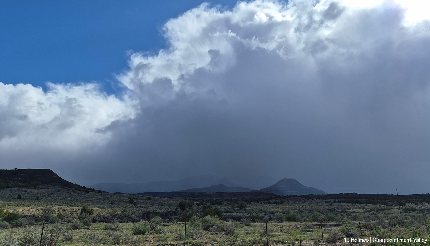
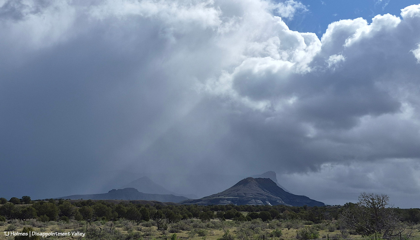
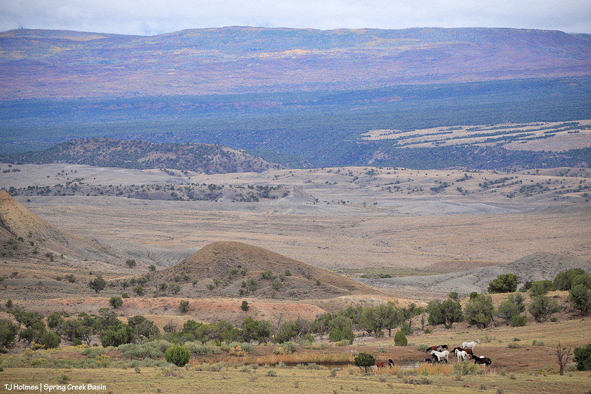
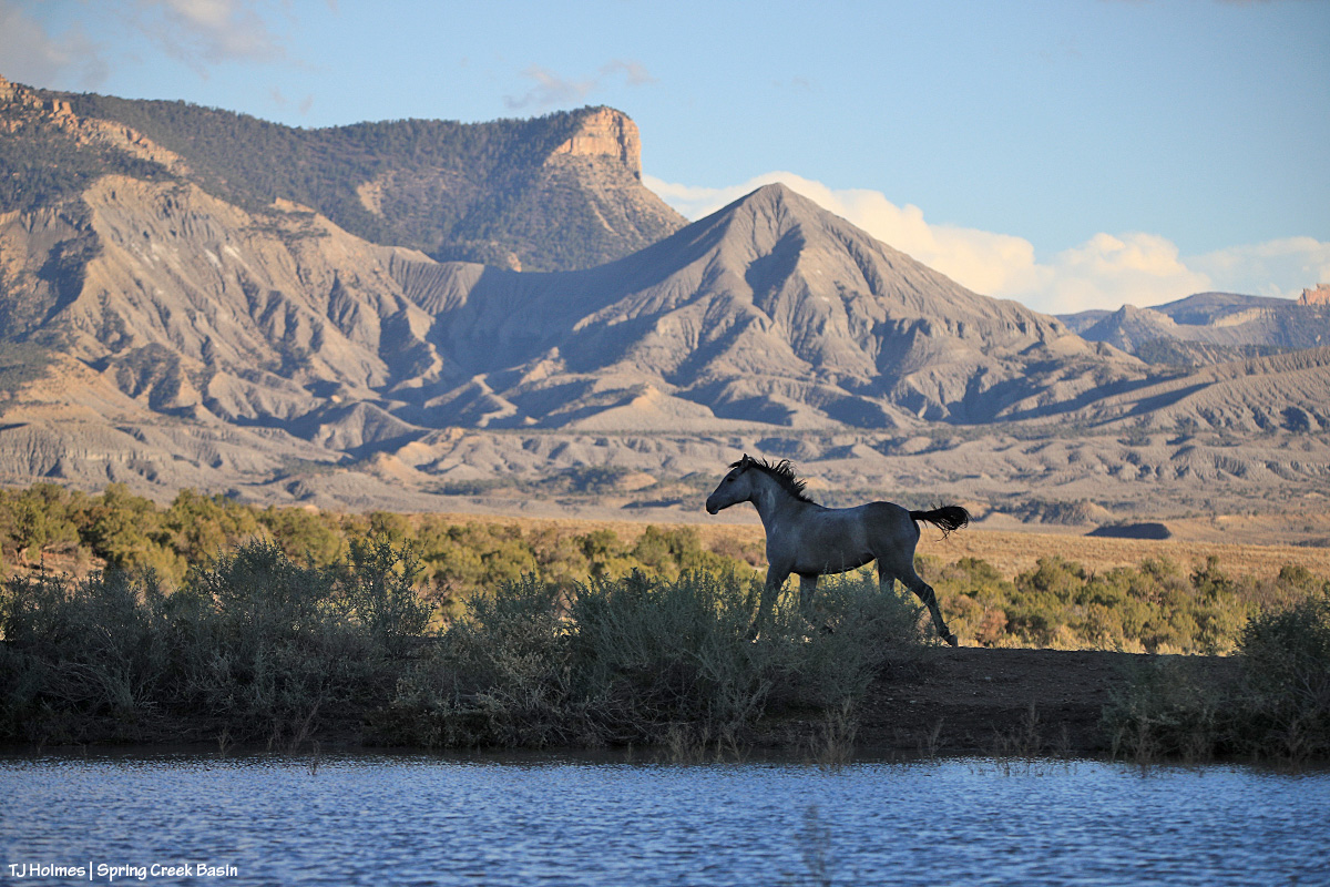
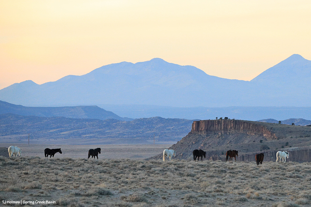
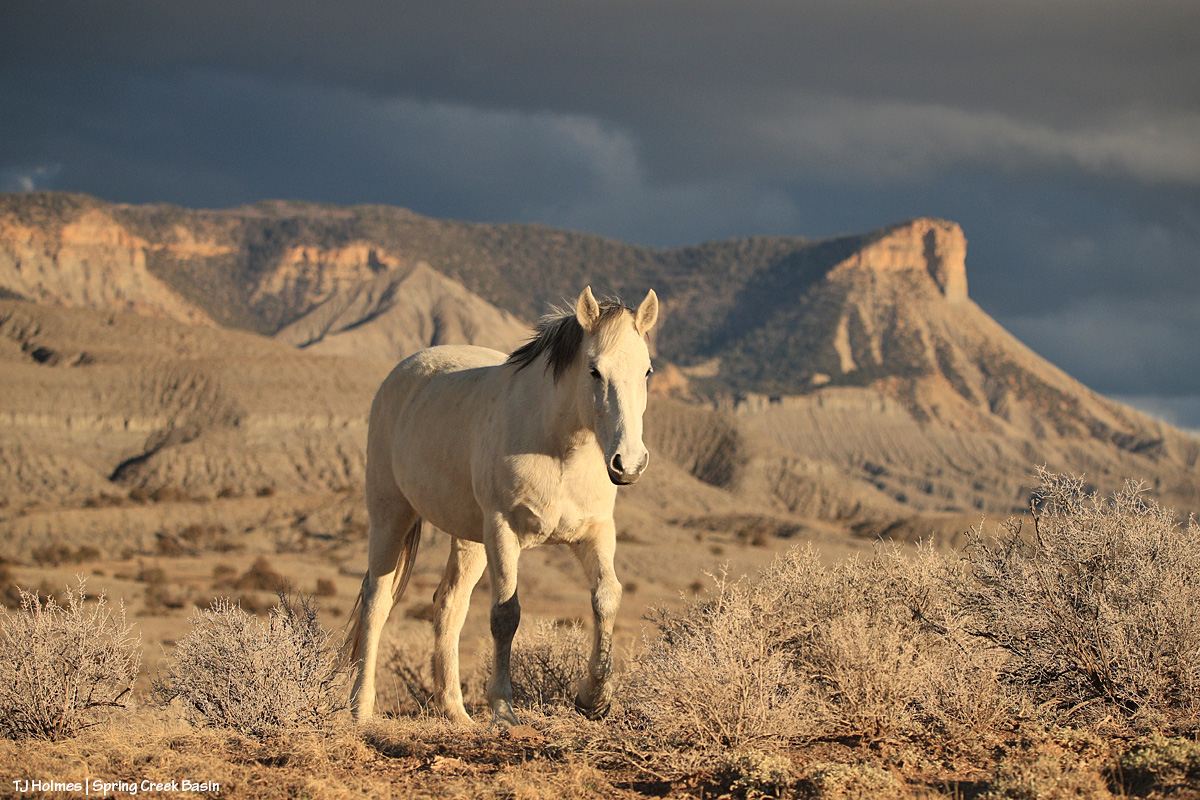
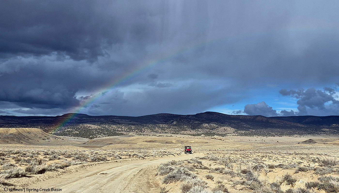
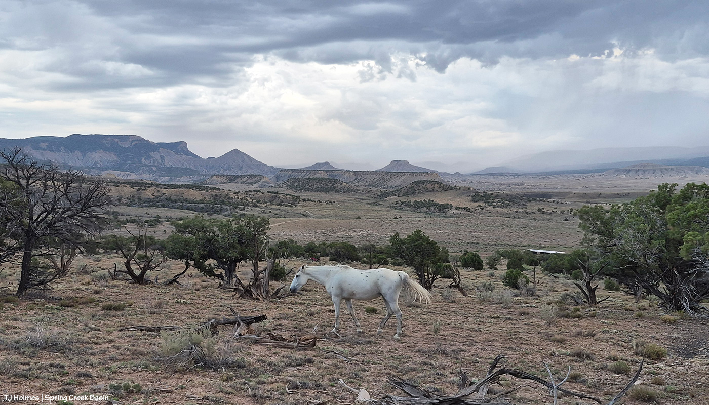
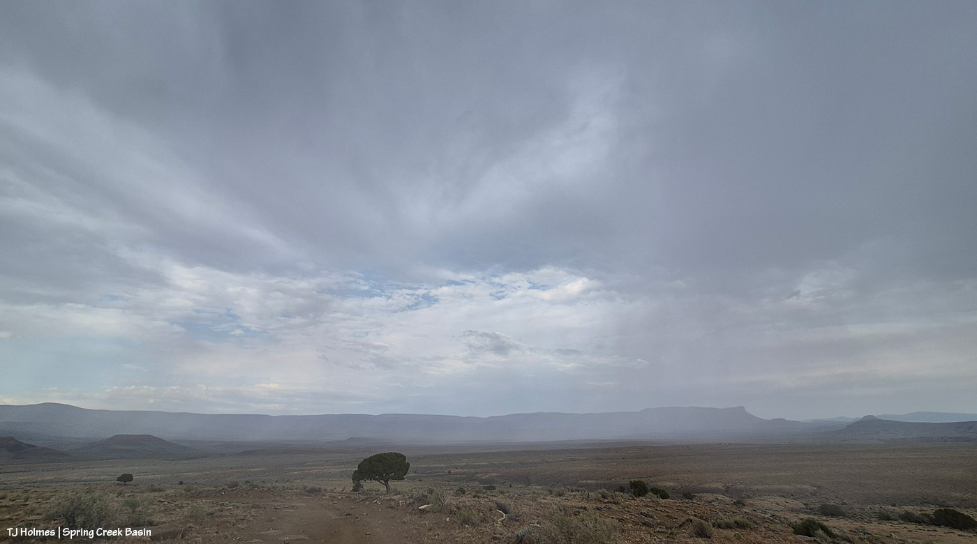
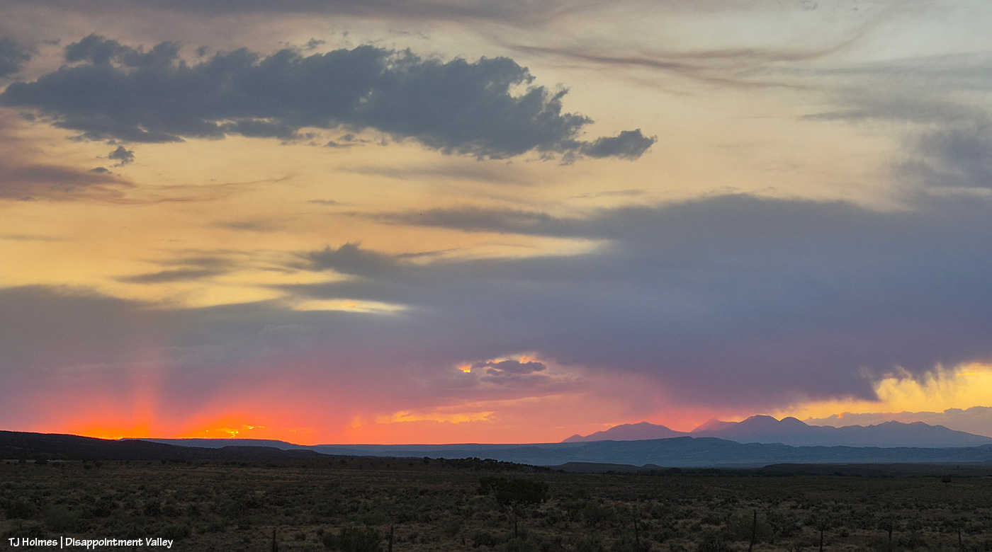
Apologies for the late post this morning; last night’s storms took out my electricity! Very glad of the rain … shown above making its way into Disappointment Valley southeast of southeastern Spring Creek Basin. Seneca really didn’t think she wanted to help show off the view and the rain, but she did an amazing job of it, of course. 🙂
The great thing about the rain is that it wasn’t even in the forecast, so it was a *very* pleasant (understatement) surprise!
This pic, taken Sunday from between the main/original water catchment and Filly Peak in Spring Creek Basin, is looking southeast toward the Glade and Benchmark Lookout. A few days before, I’d seen the red swaths of retardant across the trees while looking at smoke up there, but I didn’t manage to get a decent pic that showed it. While fire continues to smoke in that area (that’s the Ferris Fire’s northeastern edge), clearly firefighters and aircraft pilots have been hard at work. So hugely grateful! Rick and Linda Freimuth, who staff the tower during the fire season (!!!) hope get the green light to return this week. The mustangs and I (you know they would if they could) will be cheering their return.
Now, some taken yesterday (Monday):
Storm brewing to the east. Spring Creek Basin’s western rimrocks and Filly Peak (lower left) are in sunshine, while Temple Butte, McKenna Peak, Brumley Point and the basin’s eastern ridges are shadowed by rain! Woo-the-heck-hoo!
Looking back to the west from the same spot as above. More rain! What looks like white smoke on the horizon at left IS smoke from the Ferris Fire … and I hope it got a good dose of the wet stuff. It wasn’t a high-rain-chance day, but toss the forecast and let ‘er rain!
Methinks the weather wizards were outsmarted by Ma Nature herself. 😉 RAIN, BABY, RAIN! This is from Chrome’s Point in western Spring Creek Basin, looking eastish at a curtain of rain that DID, as I was taking pix, make its way west. Unfortunately, I didn’t get tooooo wet. Ha – I would not have minded!
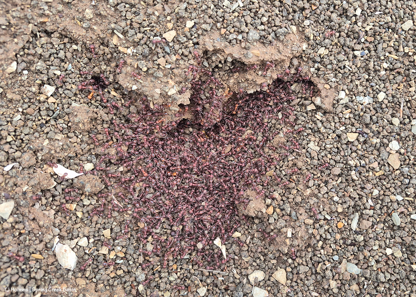
Ants congregating at the entrance to their mound. Apparently, “Ants congregate at their mound entrances after rain primarily to survive flooding. When underground tunnels fill with water, the colony is forced to evacuate. They move the queen, larvae, and food upward to escape the saturation, using the surface or mound entrance as a temporary, elevated sanctuary.” Interestingly, these ants and others I saw doing the same thing in the same relative area happened to be on some of the highest ground in the basin, near the western boundary. I guess that when you’re an ant, everything is at the elevation of ground level (ha ha!).
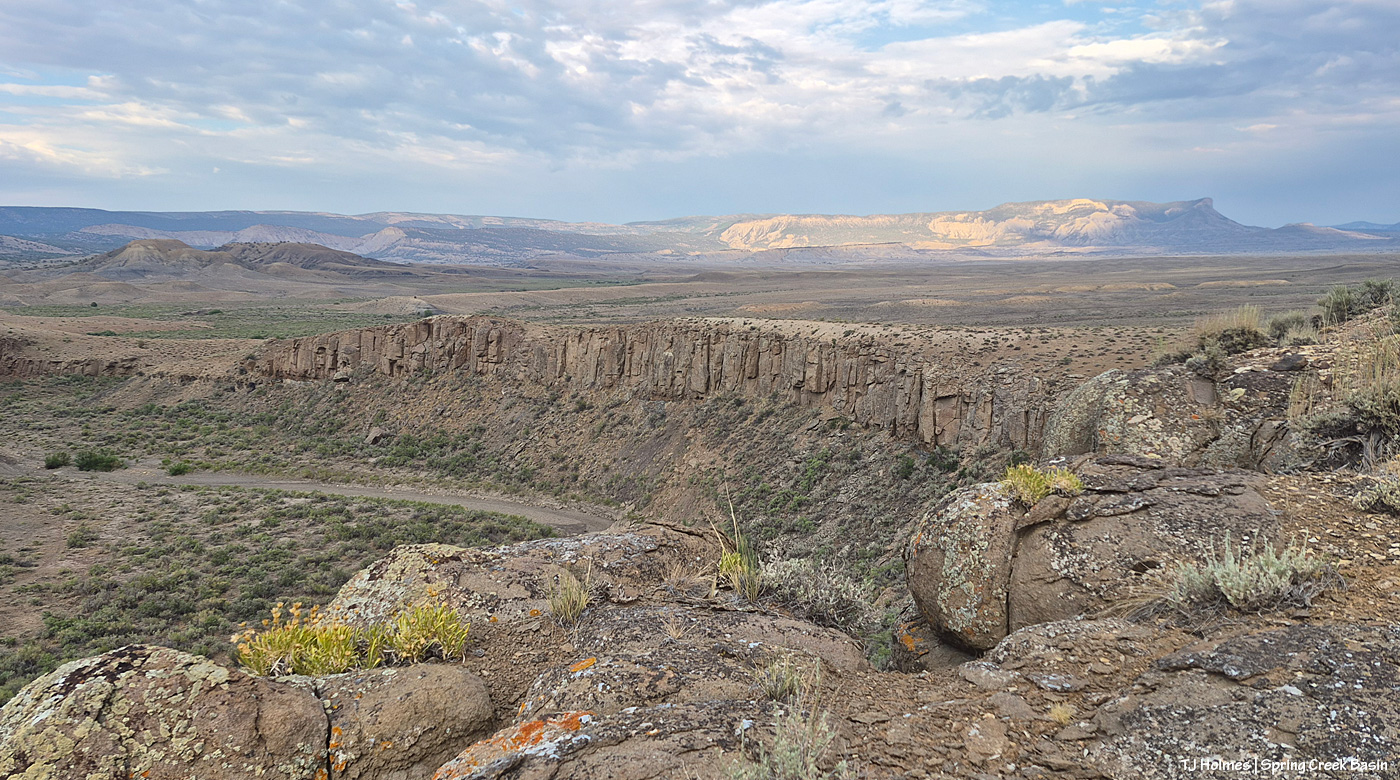
From the south wall of Spring Creek canyon looking eastish after the rain (it didn’t last very long, unfortunately).
Hope you don’t mind this view! It’s pretty spectacular. No, that’s not a road down there in the canyon; that’s Spring Creek arroyo, and just beyond (lower left), it leaves Spring Creek Basin to cross lower-ish Disappointment Valley on its way to join Disappointment Creek (neither of which are carrying water at the moment).
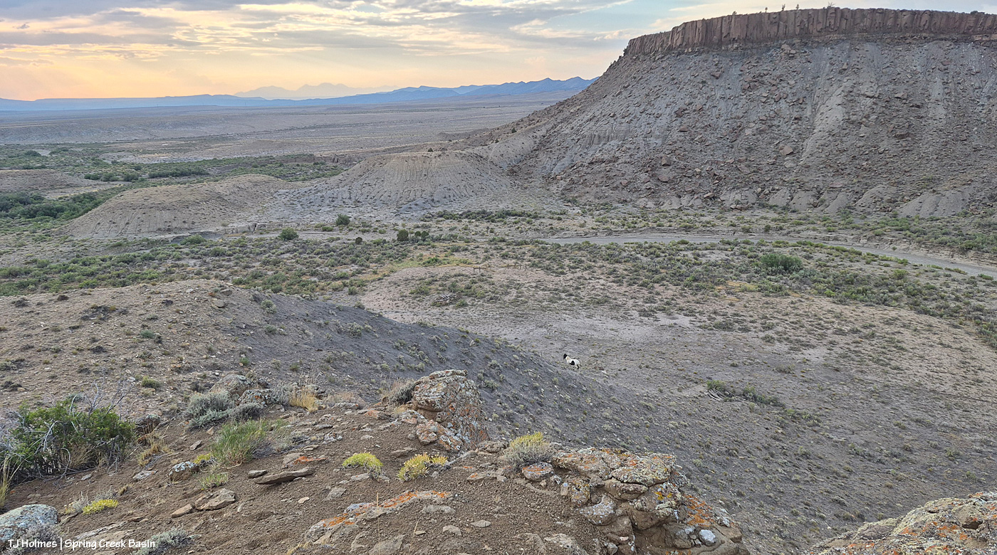
See the pinto pony? This is from the same point as the above two pix, looking generally northwestish across lower Disappointment Valley toward Utah’s La Sal Mountains. There’s a fence across this lower end of the canyon to keep the mustangs within Spring Creek Basin, and there’s a water gap (hanging PVC pipes to move when water DOES flow) across the Spring Creek arroyo. There are a couple of manmade structures down there, one behind McKenna and one kind of in front of him.
As it turned out, though he and his pal and a band were in the vicinity – and the reason I walked out – it was something else entirely that actually took me all the way to the canyon rim. … And that will wait for another post because I got some pix that knocked even my socks off.
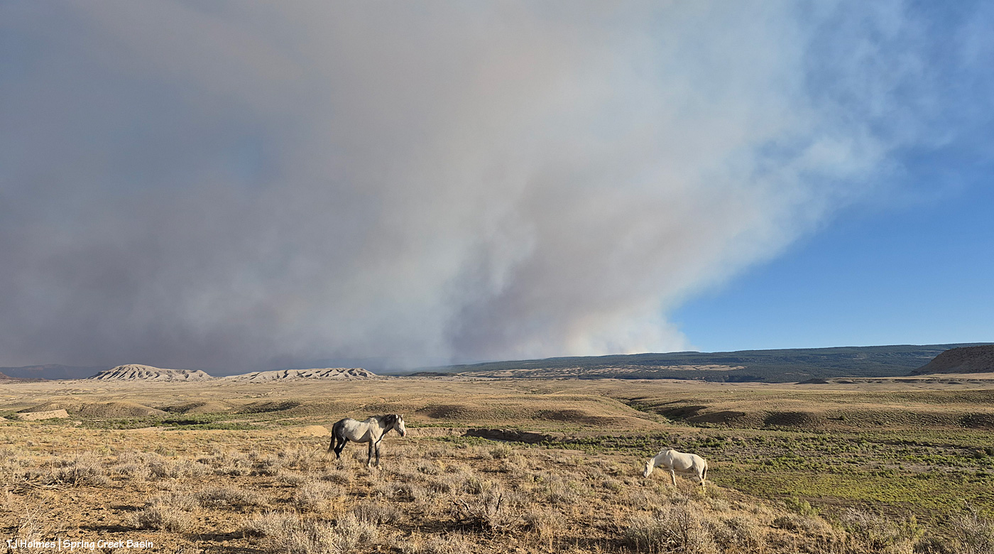
After some reports from different sources of tiny bits of rain here and there (Tuesday day/night, maybe some drips Wednesday), the sky was much more our normal and beloved Colorado-blue than we’ve seen in a run of smoky days. Ferris Fire (60,104 acres as of Wednesday night) smoke at left; Babylon Fire (101,073 acres) smoke at right. Looking mostly south.
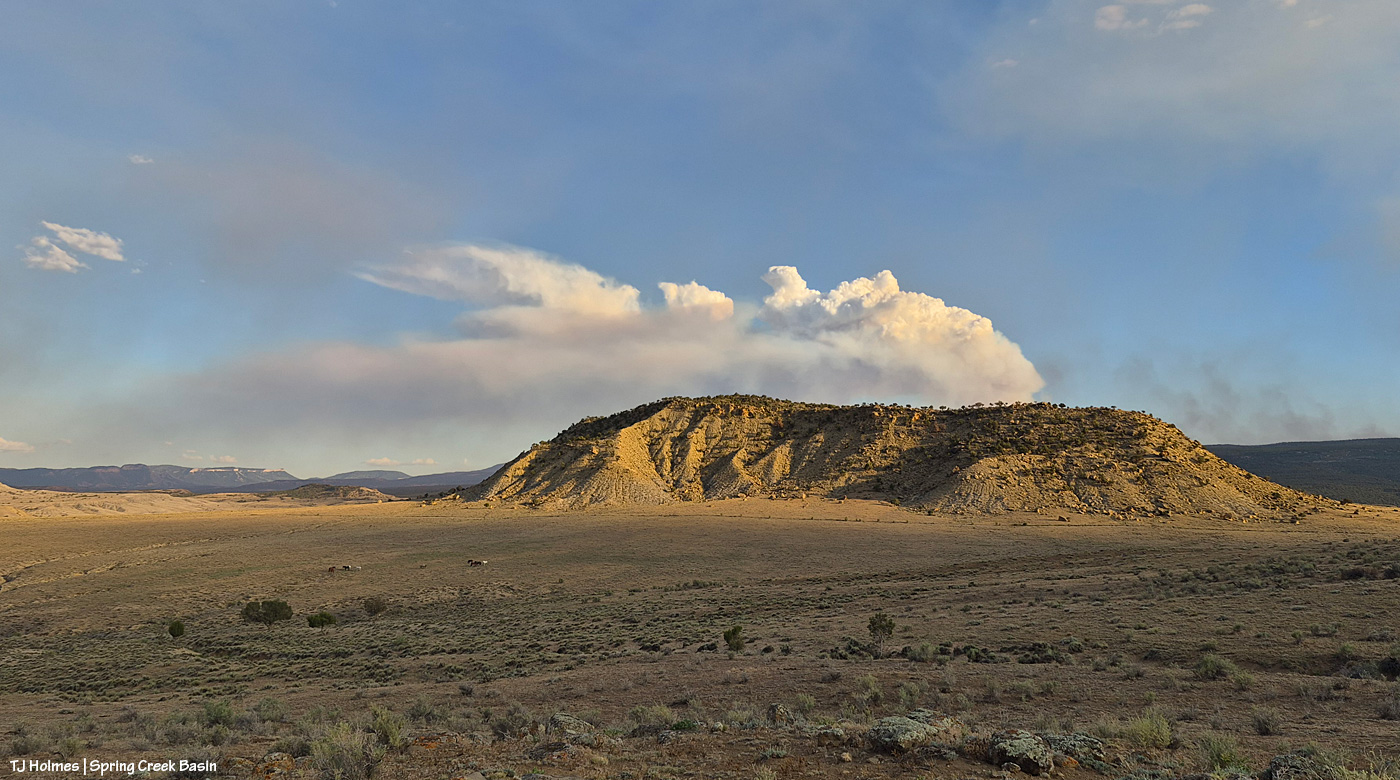
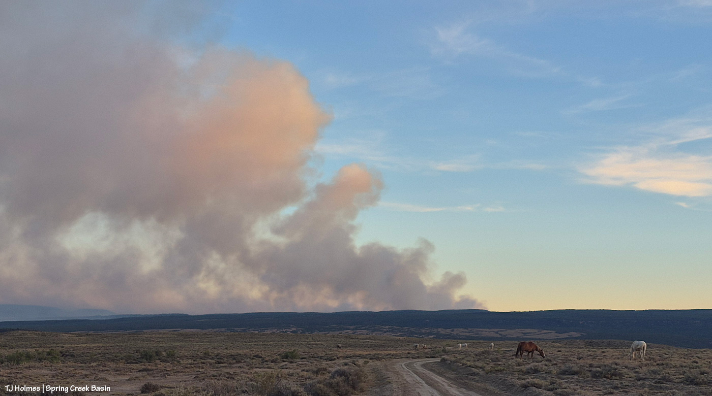
The fire must have gotten into some new, untouched fuels by evening because by 7 p.m. or later, it was really sending up a plume. That’s Filly Peak in the near background, and you can see a bit how perspective matters: Not only is the fire not directly behind it, it’s not *super* closely behind/south of Disappointment Valley’s south ridges. (I did still see a little line of smoke in the Ryman Creek area a bit later.) Mustang ponies in the middle ground, napping.
This and the above pic toward Filly Peak were taken from the same vantage point: Chrome’s Point in Spring Creek Basin’s far western region (not far from the rimrocked western boundary). This one is looking slightly leftish of Filly Peak and southeast/east. The smoke is fairly faint … a MUCH better sight than we’ve had the last many days.
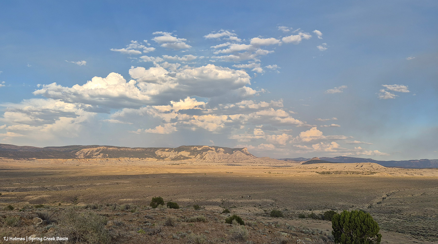
Those are more clouds than smokedrift, though, of course, there’s still smoke there from Utah’s huge Babylon Fire, now more than 101,000 acres. … Mother Nature is trying to stir up the clouds into delivering rain.
See the pillars of sunset glow at left? I love it when the sun waves goodnight to us like that.
A couple of links to articles I’ve found interesting recently:
“Monsoon rains are on the horizon,” say the weather wizards, err, experts. We can only hope they’re finally going to be proved right. Some super heat is on tap first.
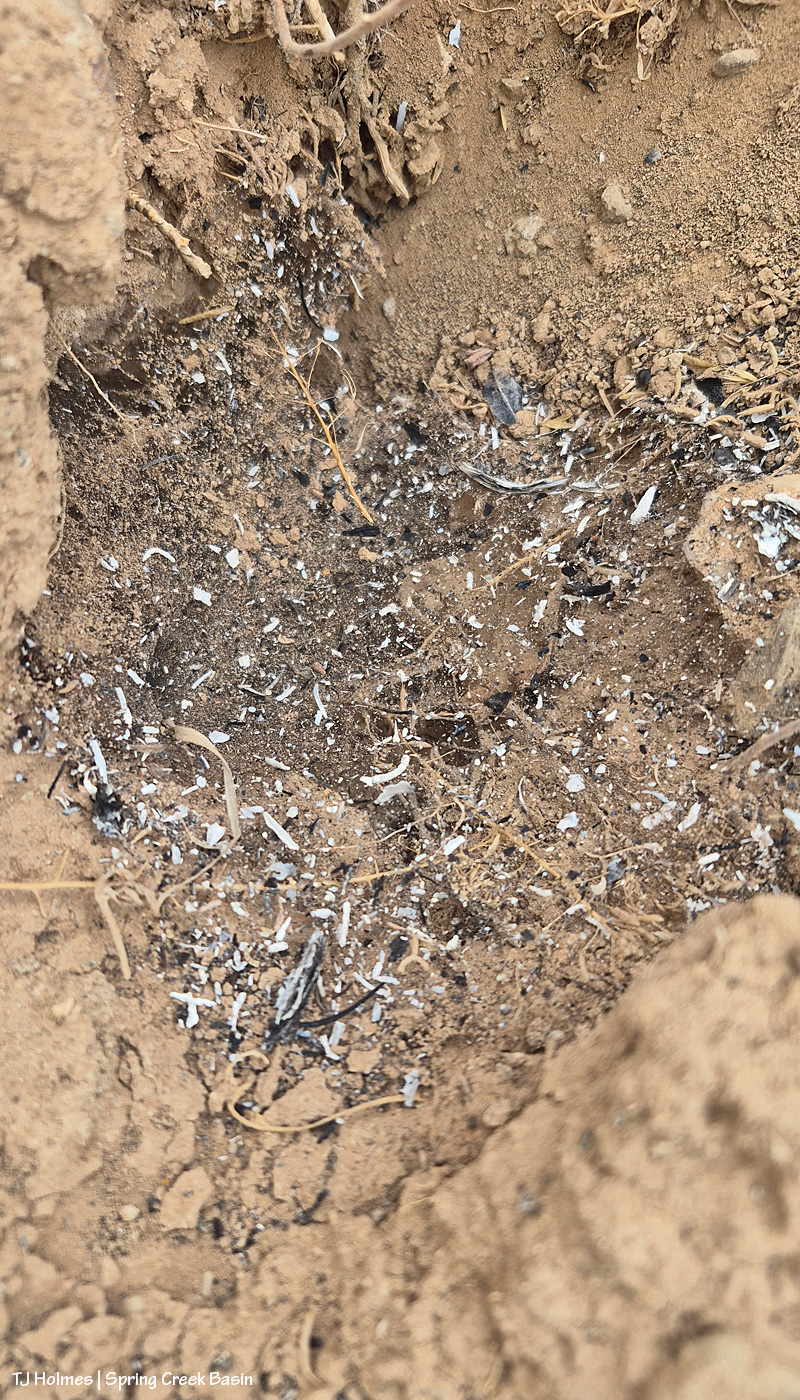
Probably, it’s hard to tell what you’re looking at here: It’s ash on cobweb over an old critter hole.
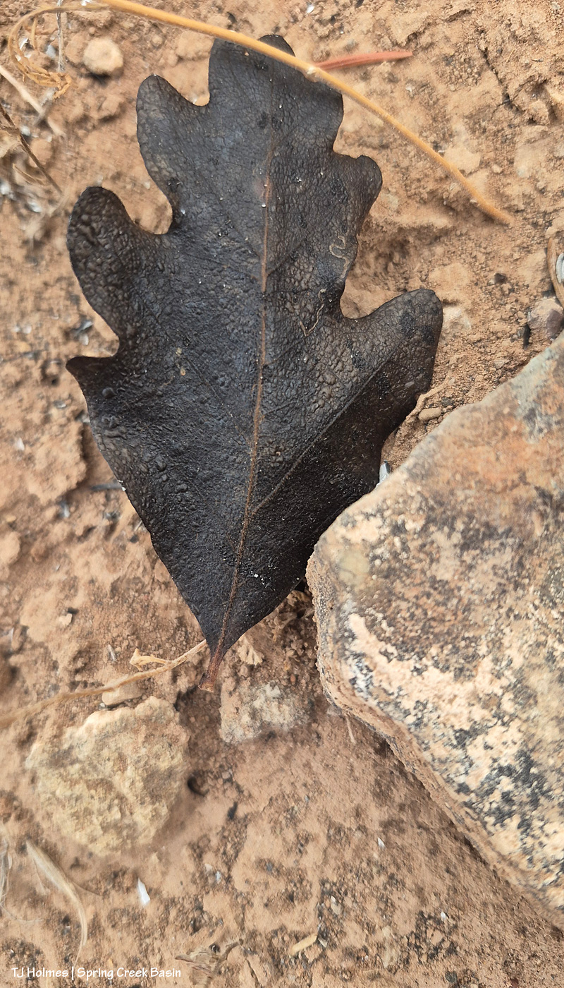
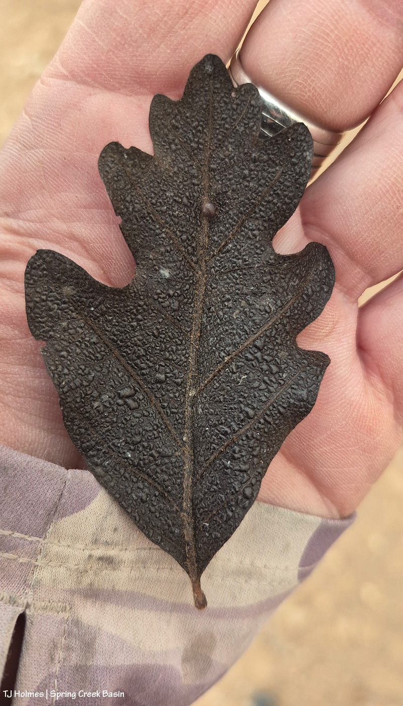
This one is more recognizable: That’s a Gambel or scrub oak leaf (or if some other kind of oak, please let me know). Burned. From the Ferris Fire (I know this because 1) we don’t have scrub oak in Spring Creek Basin (maaaaaaybe in the most upper elevation reaches), and 2) there’s no fire in Spring Creek Basin).
I’m not sure how far south the fire is, as the eagle flies or the oak leaf flutters, from even the southwestern edge of Spring Creek Basin, and I found both of the above things in the sort of almost-northish region of the basin. Kinda wild.
Mariah was not super interested in modeling in the smoke. Can’t blame her.
All above pix taken Monday evening. As of Tuesday morning, the fire was at almost 57,000 acres and still 22% contained.
The little things ARE the big things for us who love them all. Continued prayers and gratitude to all firefighters working on this fire (and all others) in all capacities.
It should go without saying: Every day, the fire – and the smoke – is different. The Ferris Fire is up to 28,801 acres and 10 percent contained. As Watch Duty says, “That still leaves a lot of uncontained perimeter, but fire crews are still on the line this hour [6:42 p.m.] working to increase that number and there will be personnel working overnight again tonight [Thursday, July 2].”
Yesterday morning, Disappointment Valley was pretty socked in with dense smoke again, but it cleared faster than the day before (which is still relative, as smoke still lingered closer to the ground into early afternoon). Fortunately, it’s lifting by late afternoon and evening.
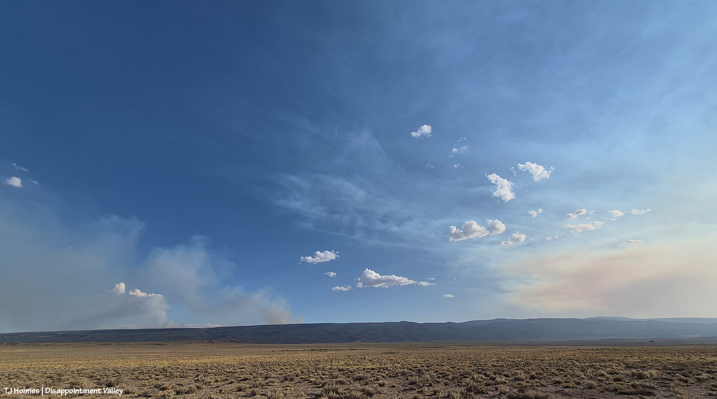
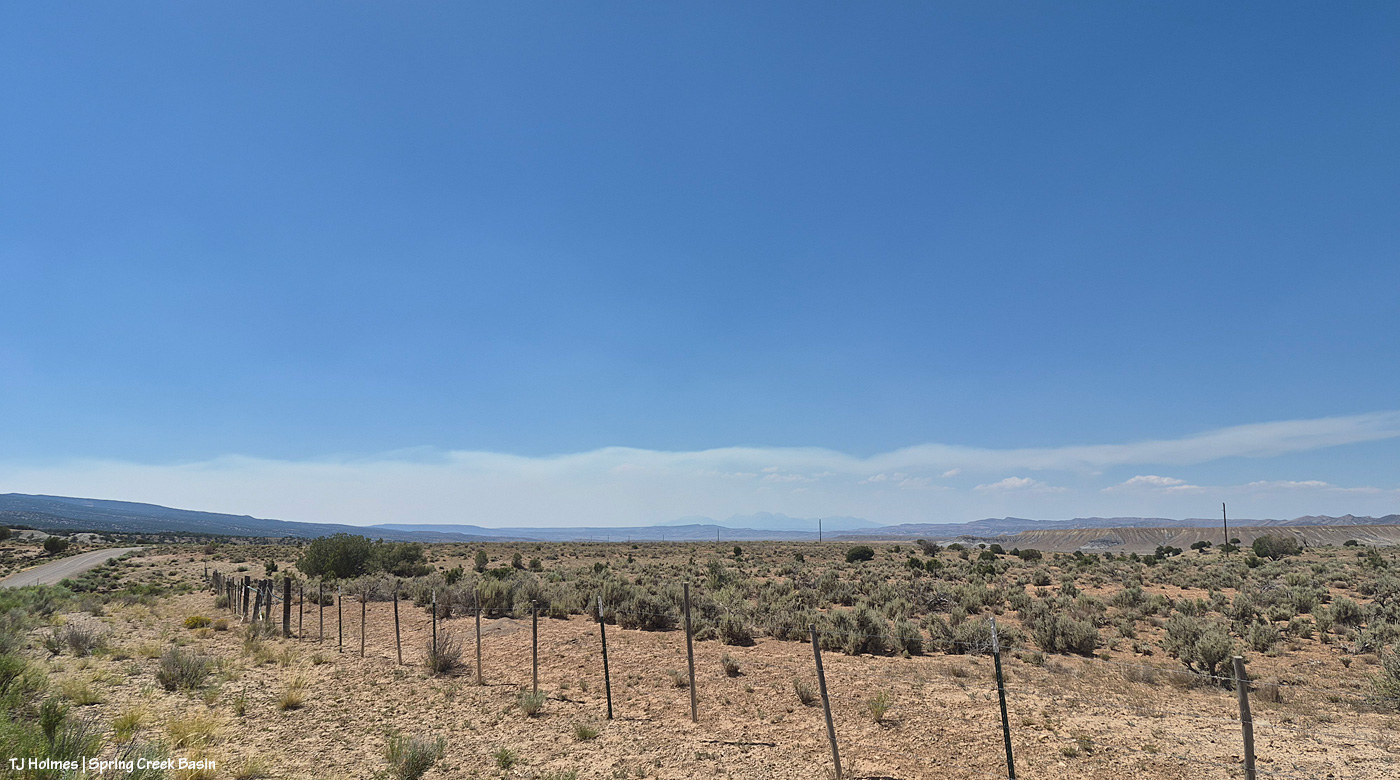
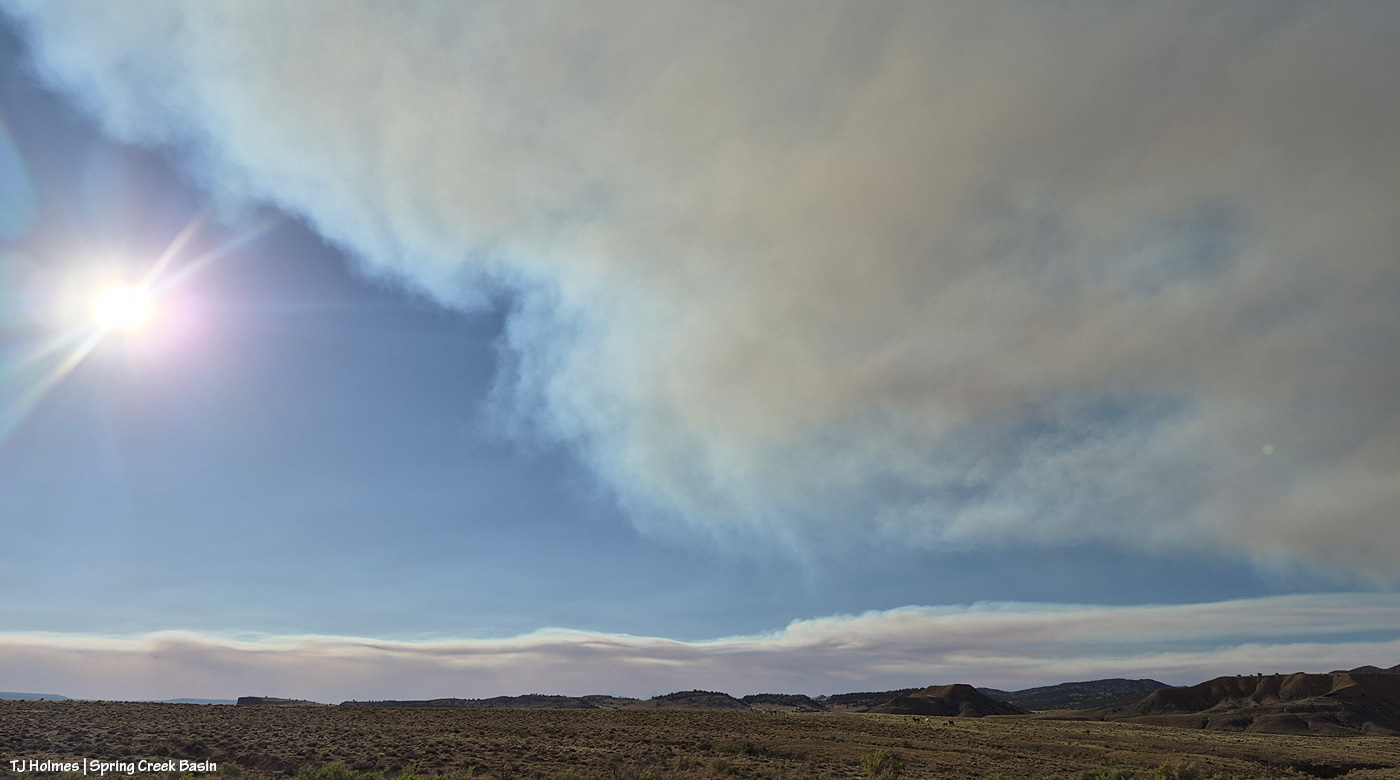
Yesterday afternoon, it became, as noted, a tale of two skies: smoke across the entire east, from south to north from the Ferris Fire; low smoke across the western horizon from the Babylon Fire in southeastern Utah (81,494 acres!) and clear blue sky above, south/southwest across the west to the north.
These next three pix are the Ferris Fire smoke:
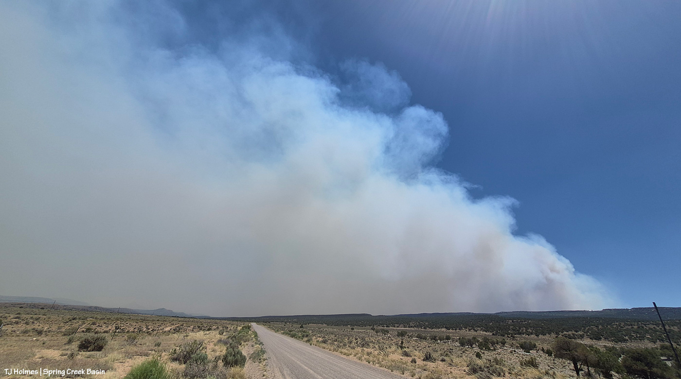
That’s the southern – probably southwestern – edge of the Ferris fire, south of Disappointment Valley (more the upper valley than the lower valley, which is behind me). The smoke is drifting to the left, which is north.
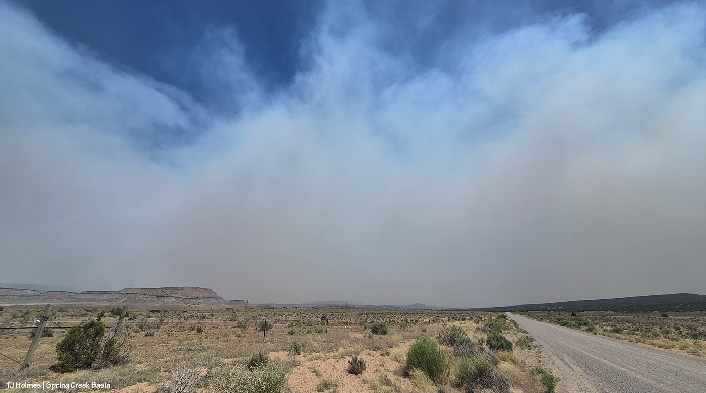
Looking southeast/eastish straight up-valley and up Disappointment Road from southwest of Spring Creek Basin. (I know, it’s weird; up-valley in Disappointment Valley is up/higher elevation, and it’s southeast, which people usually refer to as “down”!) The rimrocks at lower left form the western boundary of Spring Creek Basin, and that’s Filly Peak, within the basin, just above them. On a clear day, you could see Temple Butte and McKenna Peak and Brumley Point from this vantage point.
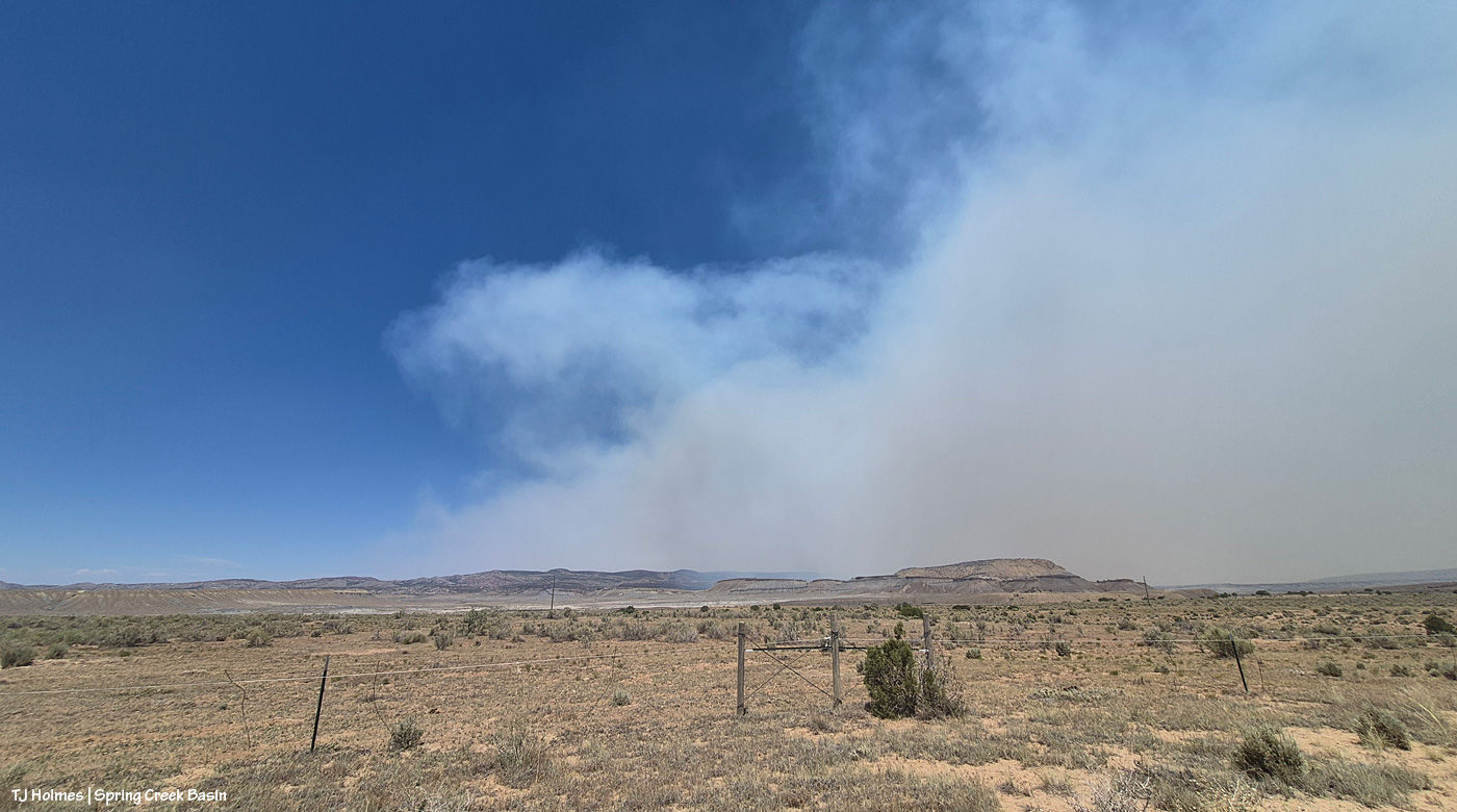
This is looking east/northeast/north. Even with my phone’s widest angle, I can’t get the entire smoke-drift in one image, south to north, basically. See that blue sky at left in the photo above and to the right in the first pic?
Now let’s turn directly around and look west/northwest, and this was the view: mostly blue sky above the low smoke layer, mingling with some low clouds, from the Babylon Fire, drifting again from south to north across our western horizon. Quite a difference in the two halves of the sky, eh?
Now a couple of evening pix, looking at the changed smoke from the fires:
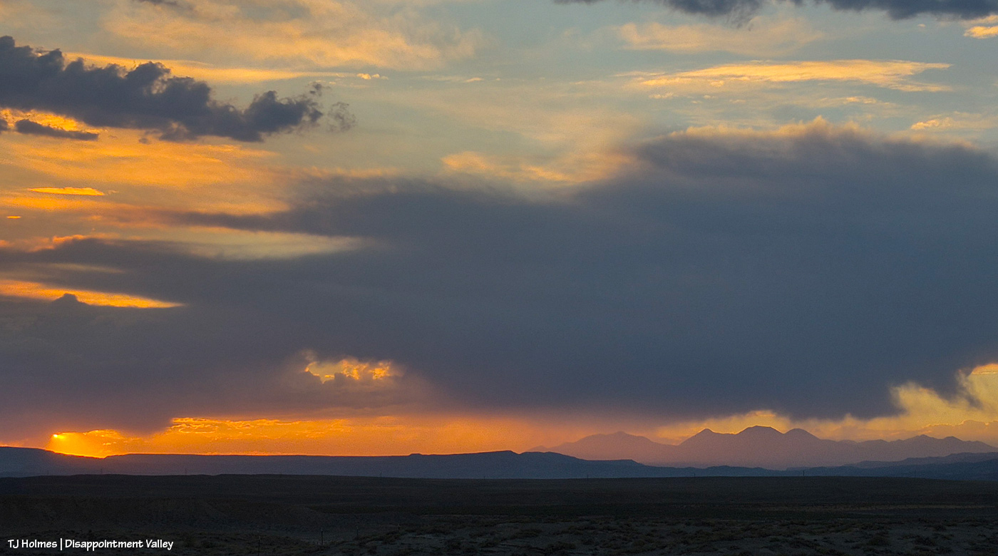
Seneca and Chipeta, looking west toward Spring Creek canyon, sunset and the Babylon Fire smoke.
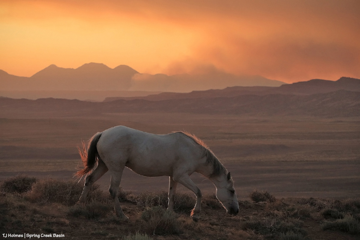
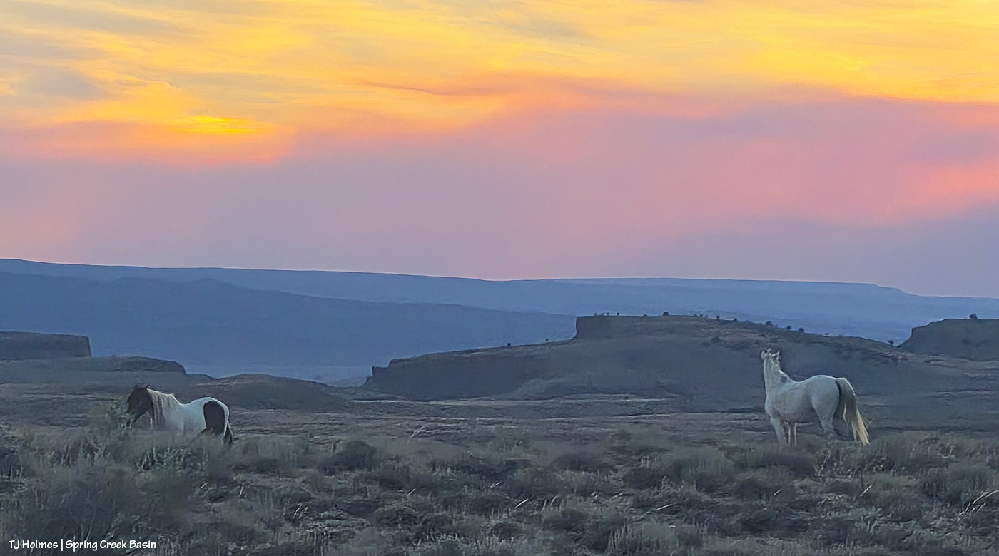
Flash’s band, looking south to the sunset-colored smoke from the Ferris Fire.
Yesterday was not the prettiest day under the smoke layers. … In fact, until late afternoon/early evening, it was pretty downright ugly (!). The fire moved toward the Dolores River canyon on its west side, and those delicious new fuels sent up a great deal of smoke. Morning found us super socked in … and it just didn’t lift or drift until much later in the day, which was – you guessed it –another red-flag-warning day. Today, the same.
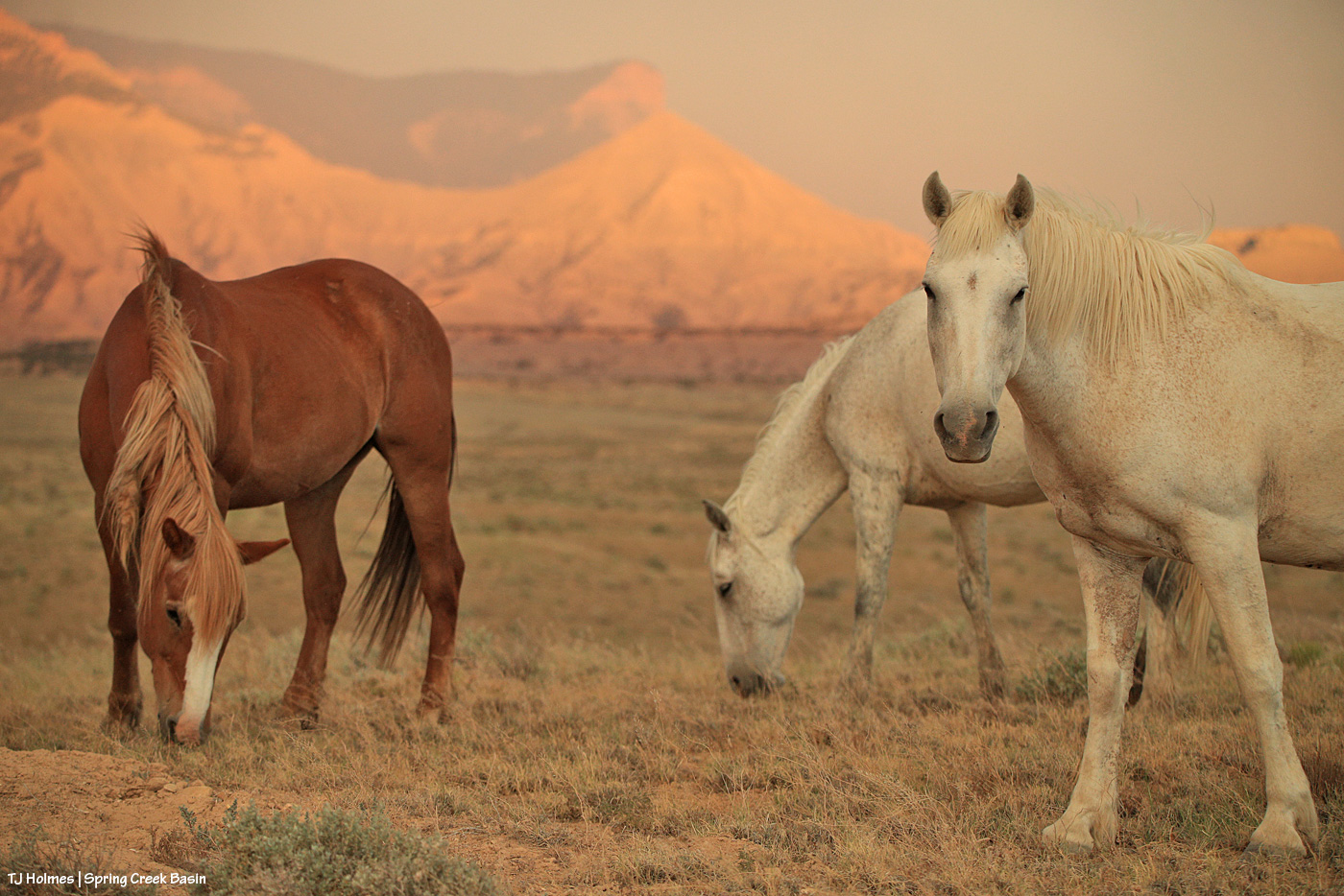
The mustangs continue to fare well through it all. They have forage, they have water, they have each other. When it comes right down to it, they have the important things kinda nailed. Mysterium, Gaia and Maple above.
If you’re using the Watch Duty app, you can find the below information there. I thought the updates Wednesday night for earlier in the day were informative, so I’m going to post them here (and huge thanks to those folks doing the updating?!). There has been a massive amount of work done by firefighting ground crews as well as air attack. It’s humbling to know those folks are out there giving every ounce of their strength to fighting this fire. The Ferris Fire apparently has its own Facebook page, but that’s beyond my knowledge.
Michael Silvester • Senior Manager of Operations & Standards
22 minutes ago • Jul 1 at 9:58 PM
The Ferris Fire is expected to reach the Dolores River Canyon tonight as it backs down Doe Canyon. Fire crews will continue monitor this area closely tonight and will be in close communication with Dolores County out of an abundance of caution.
Tomorrow [today, July 2], a number of engines will staff the west side of the canyon. The Incident Management Team is also coordinating closely with the local fire protection.
Michael Silvester • Senior Manager of Operations & Standards
3 minutes ago • Jul 1 at 9:32 PM
Zone 8 [I believe this is directly west of the fire] is now on “Set” status & the parameters for that zone can be seen above, per the update from Dolores County Office of Emergency Management on Facebook. SET Means Be Ready to Leave & means there’s a wildfire in the area, and conditions could change quickly. It’s time to be alert, stay informed, and be ready to leave at a moment’s notice.
When you’re SET:
– Load your go-kit into your vehicle.
– Park facing out for a quicker departure.
– Follow updates from official fire and emergency channels.
– Review your evacuation routes and know where you’ll go.
– Get pets and livestock ready to leave with you.
Being SET doesn’t mean you need to leave yet.
Total acreage: 25,814 Total personnel: 282
Today [yesterday, July 1], the Arroyo Grande Hotshots continued to dig containment line on the northeast corner of the fire nearest to private lands. An additional dozer and hotshot crew will be in place tomorrow to continue this mission. Favorable weather conditions will allow overnight burnout operations to continue this evening.
Dozer work on the southwest corner of the fire was completed. Firefighters will continue improving and developing containment line in this area.
The west side of the fire, closest to the Dolores River Canyon, continues to present challenges for direct engagement. Additional divisions were added to respond to this expected growth.
Susan Perney • Coverage Reporter
About 4 hours ago • Jul 1 at 5:42 PM
Three Type 1’s and one smaller helicopter are working the various hotspots around the fire. Air tankers have also been dropping retardant to slow the fire’s growth on the southern end where Doe Canyon meets the Dolores River Canyon.
A second interagency Hotshot Crew (IHC) will be arriving later today. Current plans call for them to assist with creating fire line in rugged terrain on the fire’s northeast corner near the lookout. The goal is to prevent the fire from reaching and threatening homes and private property in the Glade Ranch Subdivision and to protect the lookout itself. Despite several large fires in Colorado and surrounding states we are continuing to get more resources to support the crews on the ground and in the air. 280 firefighters and support personnel are now assigned to the fire.
**********
That Montana-shaped smoke is from the Ferris Fire, which has moved north and northwest and is overlapping the western-horizon smoke from Southwest Colorado and Utah fires.
Smoke in the pic is NOT as close as it seems, nor as awful as it looks. I mean, it IS awful where it is, but it is not super close to Spring Creek Basin. I actually debated showing this pic, and I decided to do it, not for drama factor, which I’m aware that it has, but because that was the scene toward sunset looking south/southeast, and I think it helps tell the story. A recovering journalist, still, I am.
We remain incredibly grateful to all the firefighters and folks supporting the crews working on the Ferris Fire *AND* all the other fires burning near and not-so-near. I particularly value my partnership with my local BLM folks, which includes this challenging time, during which they are, as you might guess, super busy. Thanks (again!) to Ryan for taking the time to keep me updated about goings-on; you can’t imagine how grateful I am.
And thank you also to everyone who has messaged me asking about the safety of the mustangs; I appreciate that immensely.
Tuesday was a wild and crazy day … and that was just the weather. It was ultimately a successful day, though at least one part left me shaking my head at, well, how life unfolds. And it was a reminder that sometimes the smallest things, and the simplest things, are the most enjoyable of all.
From yesterday’s post, are you wondering what graupel looks like? (Thanks, Valerie, for your comment that led to this post!)
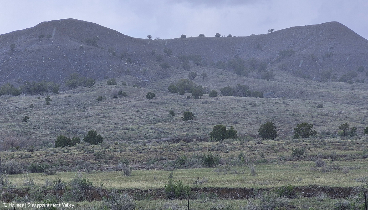
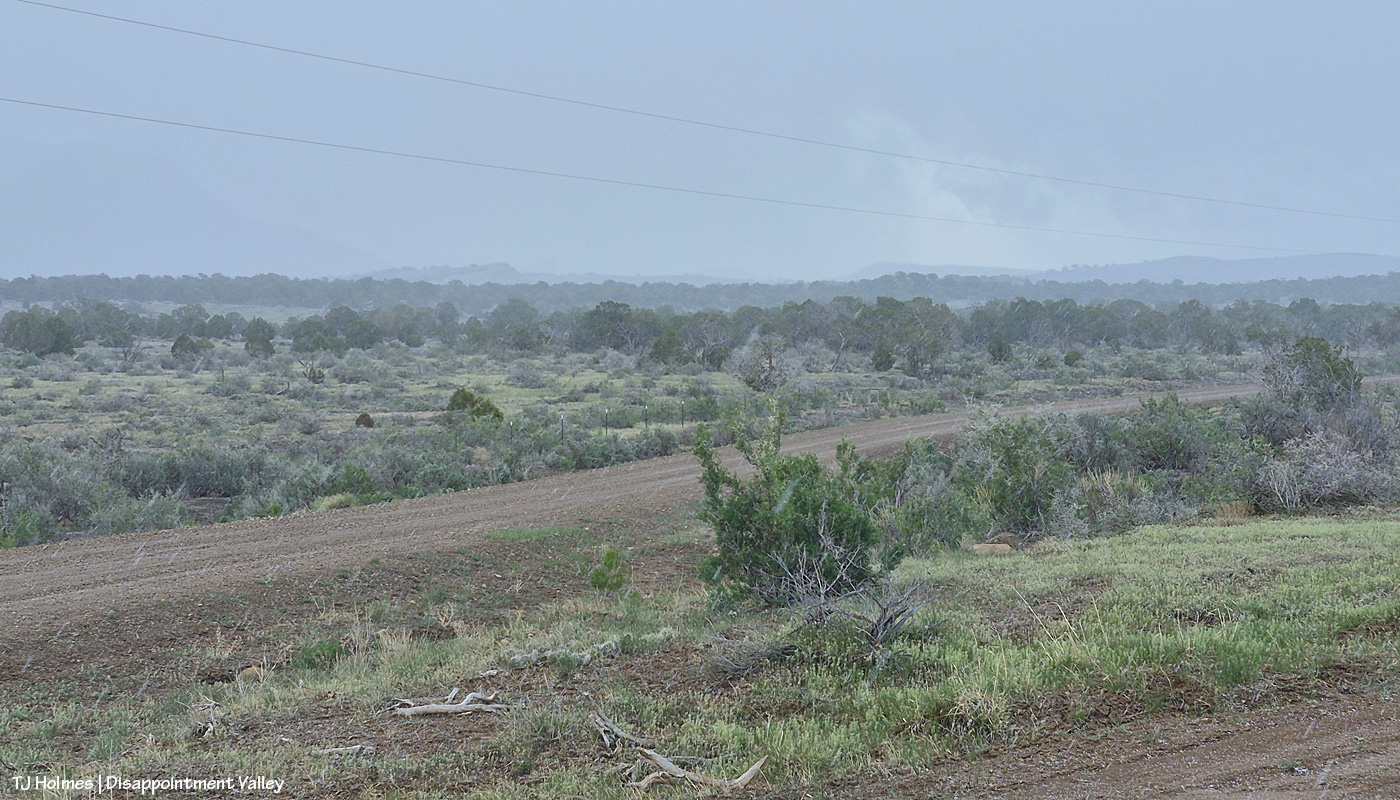
What? I hear you asking. That looks like snow or rain, you’re saying (zoom in to see the streaks). Look on the ground in the lower right corner. I was backed in under a (dead) tree to sit out one wave of it (it wasn’t very hard, and it didn’t last long) at that little side “road” to Disappointment Road, which is across the whole pic. See the little white “balls”?
AI says this: “Graupel, or soft hail, forms when supercooled water droplets freeze onto falling snowflakes, creating soft, small white pellets (2-5 mm) that resemble Dippin’ Dots or Styrofoam. These fragile, slushy particles are often called snow pellets and, unlike hard hail, crumble easily. They occur during wintry mix scenarios, causing sudden, slick conditions, and are identified in aviation reports as ‘GS’.”
I liked this part: Types of Graupel While commonly called graupel, it is sometimes referred to as:
Matsaaruti: A term used in the Nunavik region of Canada to describe wet, soft snow pellets.
Another pic from the same location as the first pic, looking pretty much straight north at what I call west-of-favorite hill (because it’s, you know, west of what I call favorite hill, which I so-named because once upon a very long time ago, “the pintos” really favored that hill and could very often be found atop it).
Also from the same spot, looking eastish again as the graupel wave recedes, driven by a strong out-of-the-south wind (I lost track, but at least three, maybe four went over us Tuesday morning). You can see Brumley Point very distinctly, submarine ridge and McKenna Peak to the left it it, and you can’t quite make out Temple Butte. If you slide back up to the first pic, Temple Butte is juuuuuust barely visible at far left, just under the power lines. And yes, the sunshine IS coming back out over the rest of us while the wave pushes north to the east.
With Artemis II and its remarkable human beings on board, their mission, their accomplishments, the images they sent back, from space looking home, in mind … and realizing the absolute tiny-ness of this one itty-bitty part of our great, wide, wild, wonderful, big blue marble … ain’t Earth gorgeous? Now you can see Temple Butte’s promontory emerging from behind Brumley Point (see the graupel/moisture evidence shining below its rimrocks?) and submarine ridge and McKenna Peak. And though you can’t see them in this pic, there were two groups of mustangs out there. Across the road and on the other side of that fence IS Spring Creek Basin.
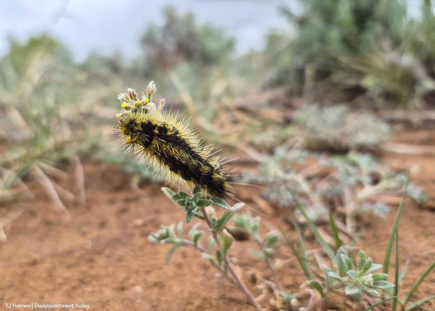
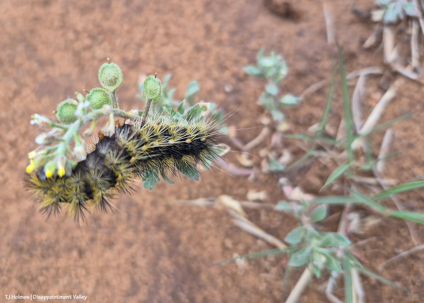
Anybody know what this prickly little caterpillar is called? I’m not sure of the plant it’s on, either.
I tried a lot, but I could NOT get the eye end (far left – is that an eye?) in focus. Of course, I didn’t know that in the field, not having my eyeball glasses on and looking through the glare of my phone screen, but I did try a number of shots with high hopes. One of our BLM range guys recently posted a pic of the same caterpillar, but he’s a plant guy (and an extraordinarily awesome one), not a bug guy, so I’m sure he can tell me the plant, if not the bug (!). If I reach him for an ID before this posts (or even after), I’ll update.
** Update from Ryan, BLM rangeland management specialist and all-around plant guy!:
“Cool that you’re seeing the same caterpillar! [He saw the same kind recently in Canyons of the Ancients National Monument, southwest of Spring Creek Basin.] I’m very curious as to what species of butterfly/moth they will turn into, I’m not good at insect ID but will ask Nate West [BLM wildlife biologist]. The plant that those are on is a mustard species called Alyssum simplex, commonly just called madwort. It’s a pretty prevalent non-native annual that is really common around here, unfortunately. It’s a beautiful picture of the hair-structure on the caterpillar!” Thanks, Ryan!
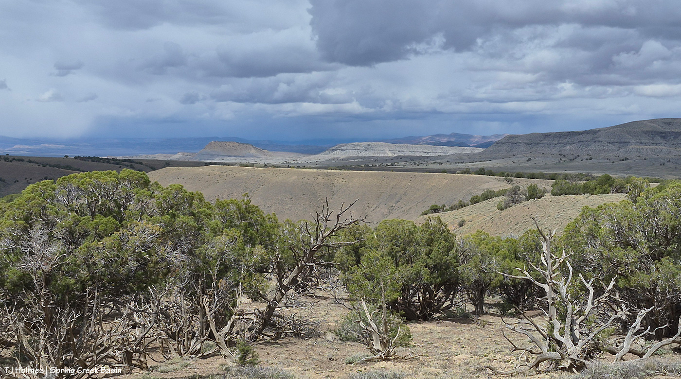
The reason you can’t see Utah’s La Sal Mountains in this pic – way northwest of Spring Creek Basin, from the very far southeastern part of Spring Creek Basin – is because the rain/graupel/snow wasn’t through sending waves over them. 🙂 You CAN see, from right to left, Round Top, Flat Top (looks sloping), Filly Peak and the south-facing rimrocks. Disappointment Road is over to the left somewhere (not far)
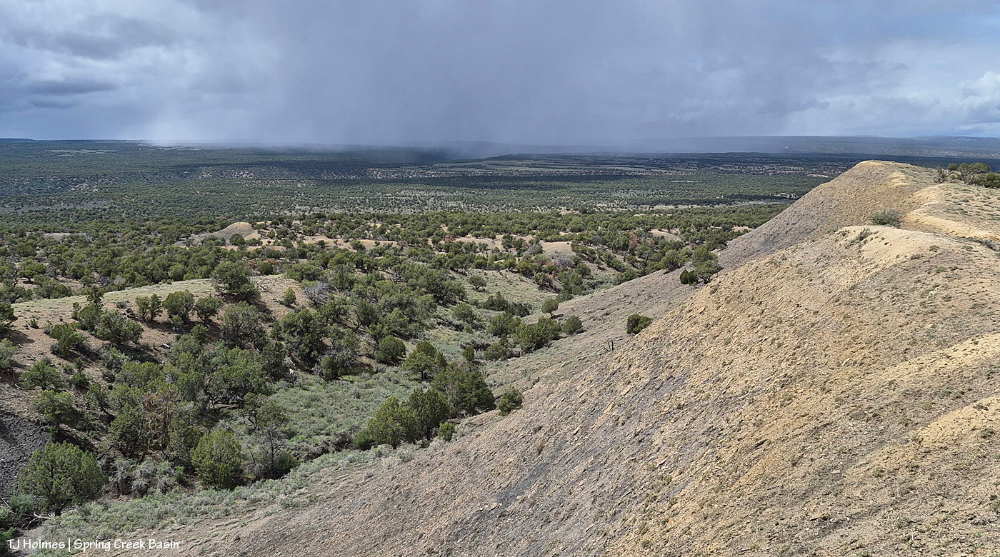
From here, we’re looking over not much of the southern part of Spring Creek Basin Herd Management Area (the pic above this one has a perspective to the right of this one) but a lot of the south/southwestern part of Disappointment Valley (most but not all of the pinon-juniper woodlands as far as the eye can see). The near pinon-juniper is within Spring Creek Basin.
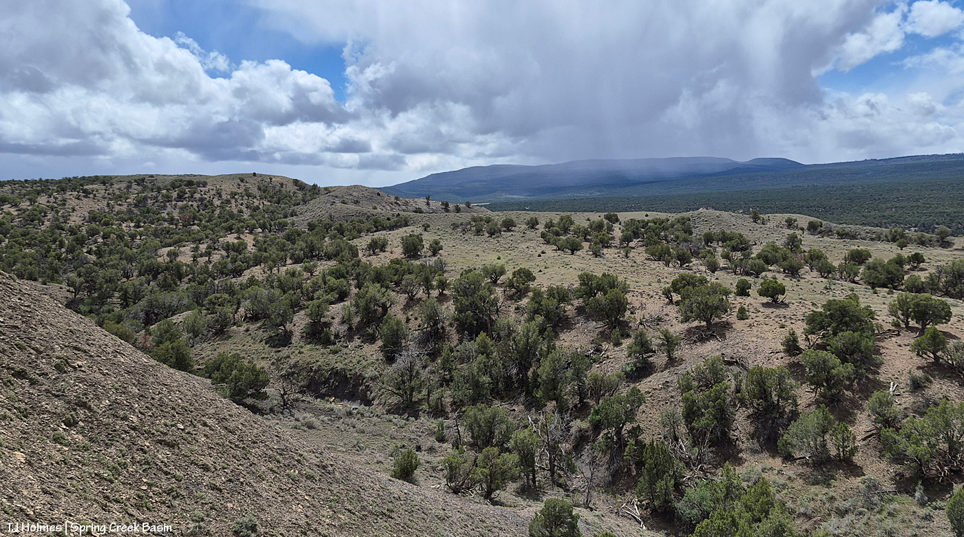
From the same spot now looking back to the south/southeast at another little rain/snow/graupel-fall, toward the Glade and Benchmark Lookout (hi, Rick and Linda! (I think they’re not at the fire lookout tower quite yet)). The near hills and pinon-juniper are all within Spring Creek Basin. The far, thickly treed ridges are partly (middle-ish ground) part of upper Disappointment Valley and partly (farther) part of San Juan National Forest lands beyond Disappointment Valley and its watershed.
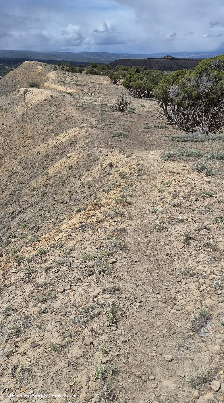
And what the heck was I doing at the high end of a long drop? See the horse trail? 🙂 I was following where the sure-footed have gone before me (and not for the first time).
The above are in order of how I took them … hours apart from first to last.
And because you came here for the mustangs …
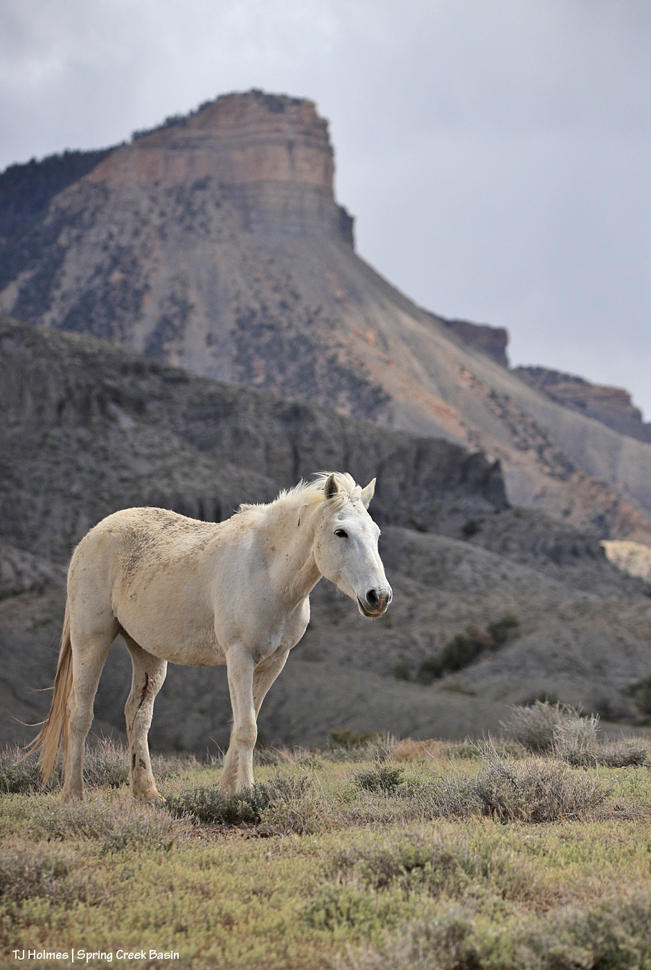
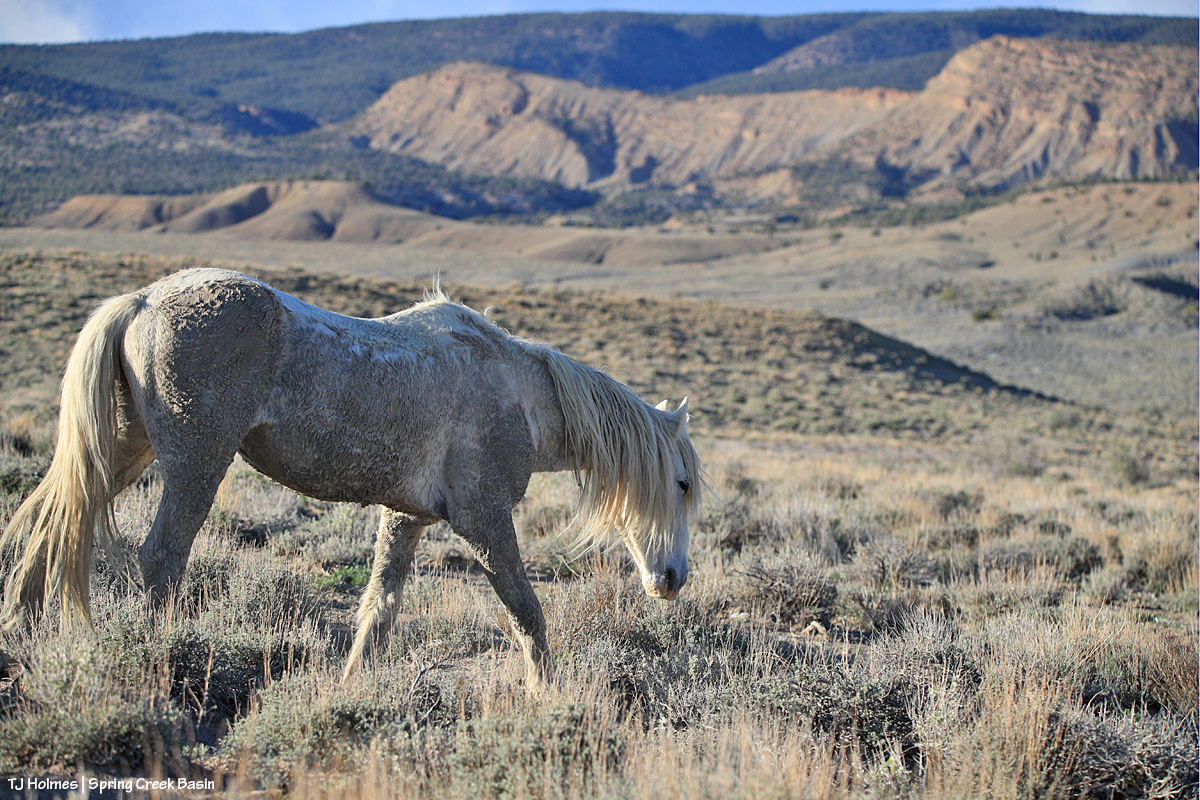
Mysterium, modeling her scruffy-chic look (fashion designers, take note – ha!) below Temple Butte. 🙂 Yes, those are a couple of cuts on the inside of her left hind leg, but she’ll heal quickly, as mustangs do!
Thanks, as always, for coming along for glimpses of this special world. 🙂
To remember how I did this post last year, I had to go all the way back to Valentine’s Day to find the post recapping the previous year (2024, then) in images. This year (for 2025), I’m happy to announce that for once, though I procrastinated, it wasn’t THAT long, and it was in plenty of time (OK, one day to spare) to make the Dec. 31 deadline.
Deep breath: This was a hard year. Last winter was rough (read: bad dry), which meant the rest of the year was rough (read: really bad horrible awful dry) in terms of drought. Monsoons didn’t hit their stride over Southwest Colorado, so we didn’t get much rain, either. Federal employees were hard hit, too, and one of our young BLM’ers was illegally fired from the new job he loved.
But we also had some good-news happenings: Thankfully, he was reinstated, and we have a strong range team in Ryan, Anton and Laura. We got some new signs installed, including the replacement of the old, sun-bleached, weather-beaten interpretive sign for the new information “kiosk” that greets visitors upon entering Spring Creek Basin. Fertility control (native PZP) continues to be an extraordinary benefit to our herd in terms of management and keeping roundups and removals at bay.
In wider Colorado mustang news, the BLM short-term holding facility at the Cañon City prison complex closed in November, BLM and Colorado Department of Corrections being unable to reach a contract agreement. That’s not-great news in terms of uncertainty for rounded up and removed Colorado mustangs. Where will they go? In semi-balanced decent news (?), all of the Colorado mustangs that were in holding there (about 100 at the time) were adopted or went to private sanctuary or are currently in foster situations for a planned adoption in March (and that all happened despite federal employees, including BLM’ers, being out of work (or working without pay) because of the government shutdown).
What follows is a pic from each month of the past year and a bit of reminiscence of what was happening when I captured the image of a mustang or mustangs. Many of these pix have been featured previously on the blog; some haven’t. If you make it to the end, there’s a bonus pic … one of my favorite of the past year.
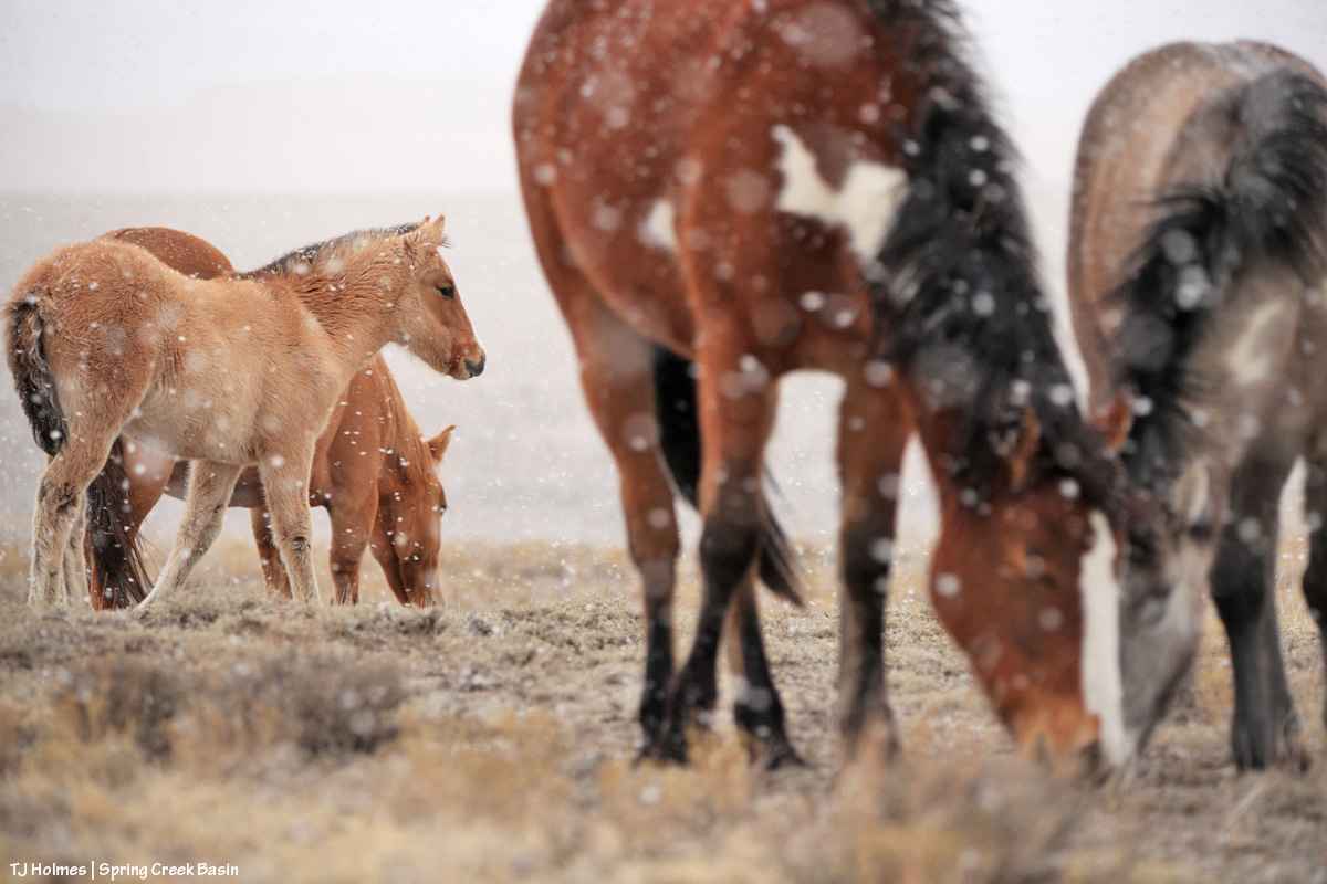
This is one of my very most favorite pix of the entire year. I love it so much, it’s the background image on my computer. I’m aware that I likely post a lot of images of Buckeye’s family; you won’t be surprised to know that they’re among my most favorite mustangs. I considered this image as the *bonus* image … but it was one wildly beautiful day of snow (well, I was out with the horses, watching the snow coming for at least two hours before it finally reached us), and it didn’t match the otherwise very dry *year*. … So it gets the January title.
Did I say that I love Buckeye’s family? You can forgive me for singling them out, right? The three mares weren’t born here, but gosh, they are treasures from our sister herd in Sand Wash Basin, and I’m so grateful that we have them. And yes, that was February. Utah’s La Sal Mountains may not have been the *closest* snow, but we sure didn’t have much.
March is still fuzzy-coat weather with signs of approaching spring, especially in the high desert of Southwest Colorado. Fortunately, we had ponds early in the year. They’d all go dry before some rain this past fall put water back in a couple of them, including the one pictured above with Chipeta. This pond is nicely full currently – and has mustangs taking advantage of its water.
April found Sundance not far from the pond pictured above, and he still had his band at that time. Later in the year, he lost them, and he’s been by himself since then. He has wandered a bit, following vegetation and available water. The stately ol’ guy is still around … I see him now and then, napping in the sunshine or grazing on the side of a ridge.
This wasn’t especially the best pic I took in May, but I love both the perspective and the sort of inside joke that Cassidy Rain always likes to be the farthest away from the two-legged. That day was a pretty warm one, and the band was in an area of basin where I rarely find them. It’s not a place with a lot of trees (in fact, there are very few), but they had found a couple, and were comfortable together in the shade near sunset.
My best boy Storm made a brief appearance in the northern part of the basin in June … one of the first times I’d seen him since he’d lost his band the previous autumn. Bittersweet. I haven’t seen him since about July, when he was at a water source with another band as I was trying to shoot the rising moon.
Ah, July, the month the Deer Creek Fire at the base of Utah’s La Sal Mountains sparked. It wasn’t the biggest wildfire of the season, and it wasn’t even the biggest with smoke visible from Spring Creek Basin and Disappointment Valley, but it was uncomfortably close to home. It was a reminder (as if we need any more) that it’s hotter and dryer out there, and we all need to be super aware and careful.
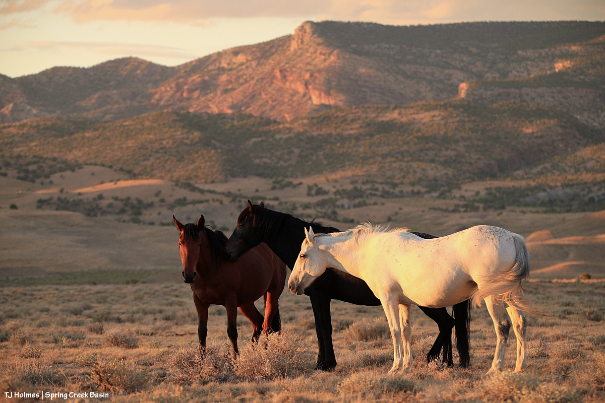
Fortunately, the mustangs live in the moment (while the humans obsess over the wildfire updates), and they still enjoyed peaceful days such as this: Three mares content with their world and each other.
Finally, as summer gave way to fall, Mother Nature cried her best tears and filled some ponds for the mustangs. THAT brought huge relief to us all (if I may speak for my four-legged friends as well as myself). Interestingly, visible at upper left in this image is Benchmark Lookout, a U.S. Forest Service wildfire-watch tower staffed during the critical seasons of the year (which includes September). In this backcountry, we are massively grateful for those who watch for and provide critical information about wildfires, as well as those who work to contain them, allowing them to provide some benefit in some cases while trying to keep property and lives intact.
It might be about now in the list that you’re thinking, “for talking about dry it was, she sure included a lot of pix of ponds.” It’s not because we had so much water; it’s because we’re massively grateful for the water we had.
There’s no water in this image – and it was November, before snow graced the peaks on our northwestern horizon – but the ponies are lined out on their way out to graze after drinking at a little place I call the marsh. This is post-sunset, but wow was it gorgeous under the autumn light. … And it’s not UNgorgeous at blue hour.
You’ve just seen this image of Temple with Temple (yes, the same) Butte and McKenna Peak in the background under a stream of stormy-looking (they didn’t produce a drop over us) clouds. I decided not to choose a pic from the bit of snow we got at the very beginning of December because the above is what we saw the whole rest of the month. The weather has been warm and dry … and that’s awfully nice for getting around and playing outdoors (60s! in Colorado!! in December!!?!) … but if things don’t change in the next few months, I’m going to be singing the same ol’ why-won’t-it-snow song that seems to be stuck on repeat.
And your bonus:
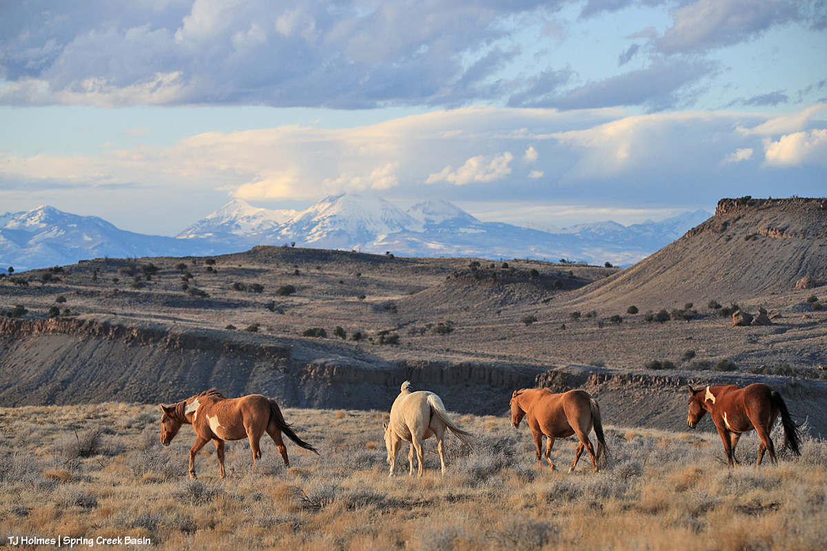
This was an evening in June. Nobody wanted to pose much, and I was going bananas, trying to get somebody – anybody – in front of that background in that subtle, delicious light. Finally, this young stallion obliged. And it seems to sum things up a bit: Hot this year? Yes. Dry? Gosh, yeah. Anxiety-inducing? Pretty much like always … with an extra edge. But! Beautiful, peaceful, a place of escape from the world’s ills (at least the headline type). Kind of a promise that it’s there … out there … and sometimes we don’t have to search all that far for it.
And there you (kinda) have it: 2025 in the rearview. It’s always hard to select just one pic for each month (plus a bonus!), but I hope you enjoyed this little recap.
In best-of-all news, I spent a lot of time (again) with my beloved mustangs in the best place on Earth (in my ever-so-humble opinion). 🙂
And close to that is my gratitude for all of you readers who follow the mustangs and our pictorial journal of peaceful, wild, beautiful life here in Spring Creek Basin. Thank you so much, and I hope you all have a peaceful, wild, beautiful 2026 (with lots more moisture!!!!!!!!!!!!!)!
How good are *my* BLM folks? THIS GREAT *arms spread wide*!
Allow me to highlight:
Days before the end of the shutdown, toward the end of third rifle season, when I was feeling very tired and hard done by at the sheer volume of humanity in a usually very quiet, very peaceful place, one of our law-enforcement rangers, Matt Abraham, came into Disappointment Valley to check on Spring Creek Basin. Um, wow! But that’s who these guys are and have been since I started volunteering 18 years ago (I’ve known at least five).
The day (?) the shutdown ended, herd manager Anton Rambur was out in Disappointment Valley to check on things. The muddy road prevented him from accessing Spring Creek Basin, but that this was one of his priorities at his return to work … ???!!! He wanted to know what was happening and what I needed.
Later that afternoon, I got a call from the other range specialist, Ryan Schroeder, asking – again – what HE could do for ME and the MUSTANGS/BASIN.
Upon returning to the computer, I had an email from range tech Laura Heaton asking what SHE could do for us!
Like, um, I don’t even have words to express my crazy-level appreciation and gratitude for these excellent human beings!
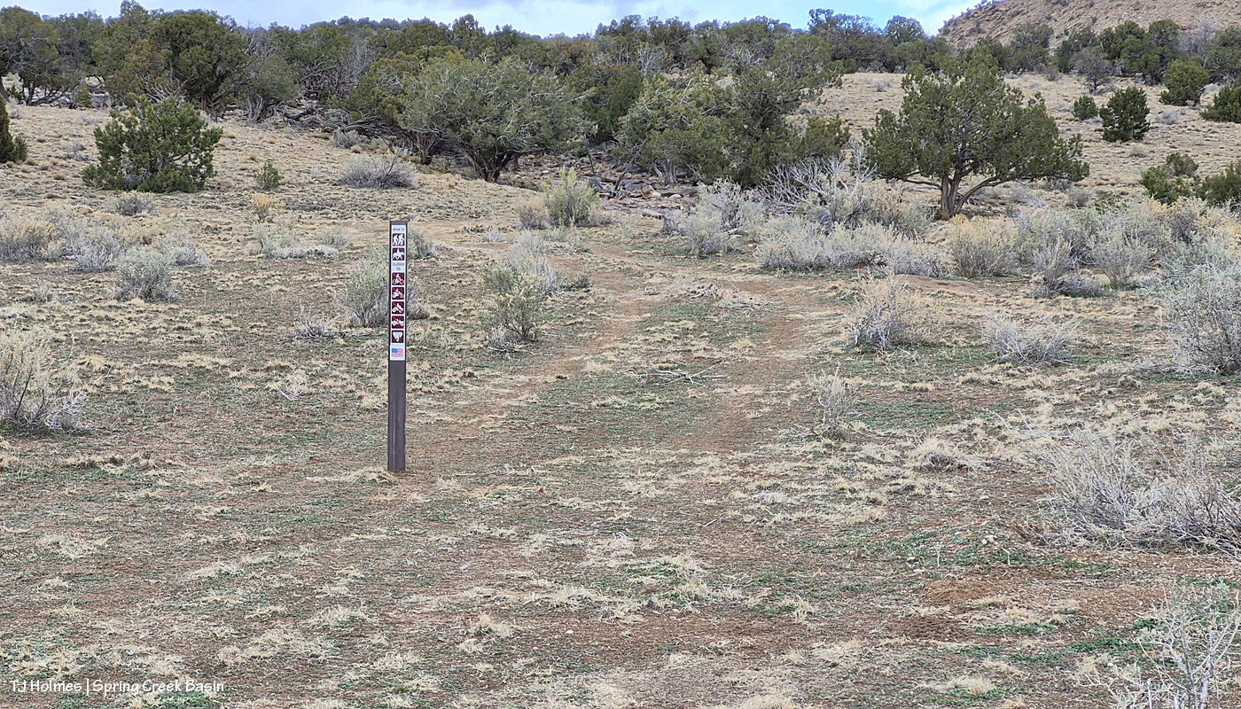
One of my mentions to all three of them was that it would be great to have (more) signs to deter the illegal route-making in the basin – as reader Sue calls them, “rogue roads.” I had one very particular place in mind (and have for the two years people have been driving around a particular washout … only to get stymied within half a mile by a washout they CAN’T cross …). …
The following day, I had a message from BLM park ranger Jon Whitehead asking for details about what signs we need! And Wednesday, he and Ryan brought promised signs and stickers to Spring Creek Basin to erect in areas to hopefully stop already-done resource damage and continue to prevent it in places where the signs, with their sun-faded stickers, have worked for nearly or more than 18 years.
Please follow along in pix:
We have to start at the start: That’s Jon driving and Ryan riding shotgun (unfortunately, both Anton and Laura had duties elsewhere that day) at Road 19Q (behind them – and look! it’s being graded! thanks, Denny from San Miguel County!) and Road K20E to Spring Creek Basin. (Also note the water at right; that’s from Sunday’s rain.) Safety first!
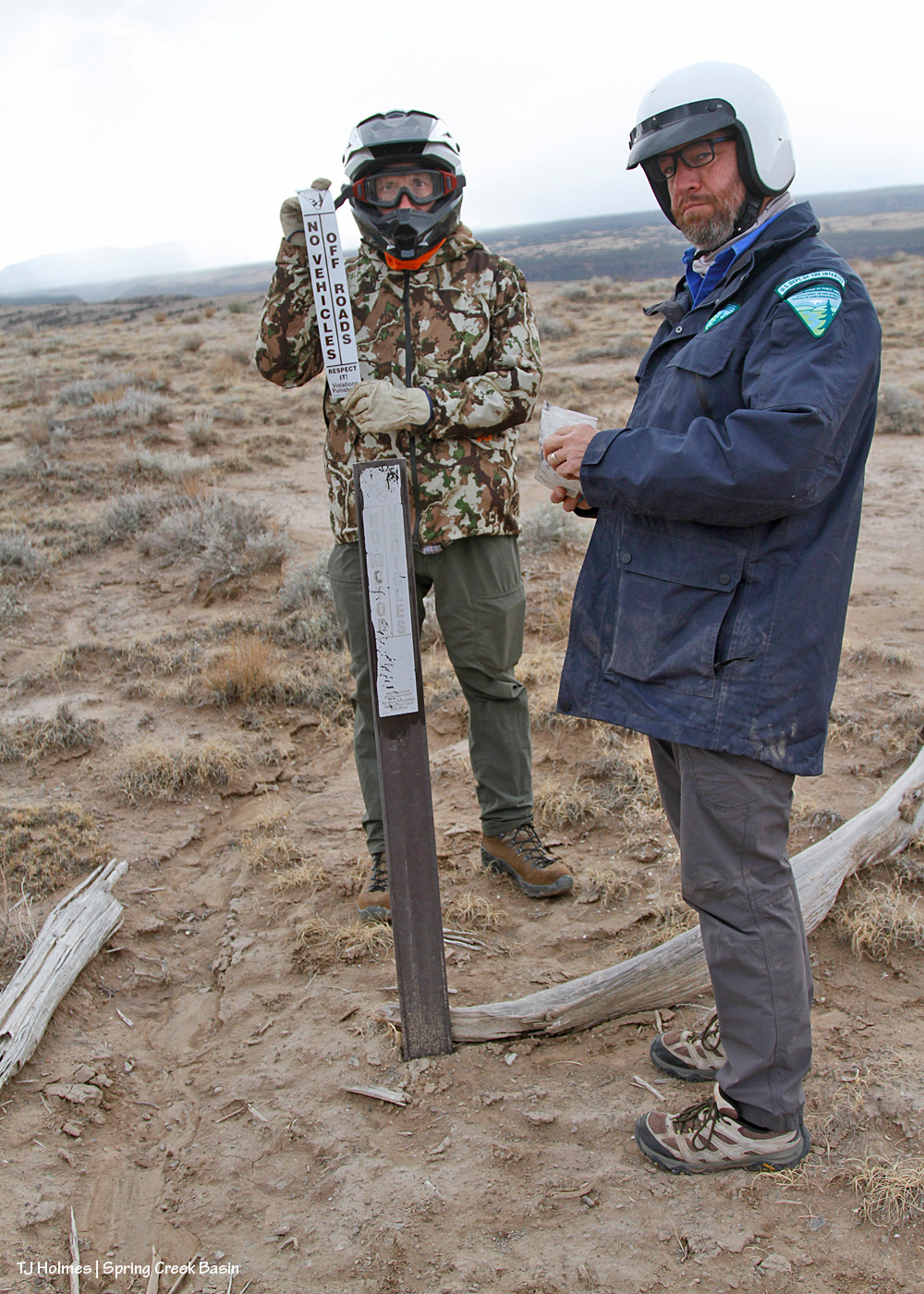
The *serious* BLM faces as they’re about to prep an existing carsonite sign for a new sticker. …
They couldn’t maintain those stoic faces for more than a couple of seconds. 🙂 We shouldn’t have so much fun “working” … should we?? 😉 Note the snow over the Glade in the background! We got a drizzle later, but we agreed that was likely snow at higher elevation.
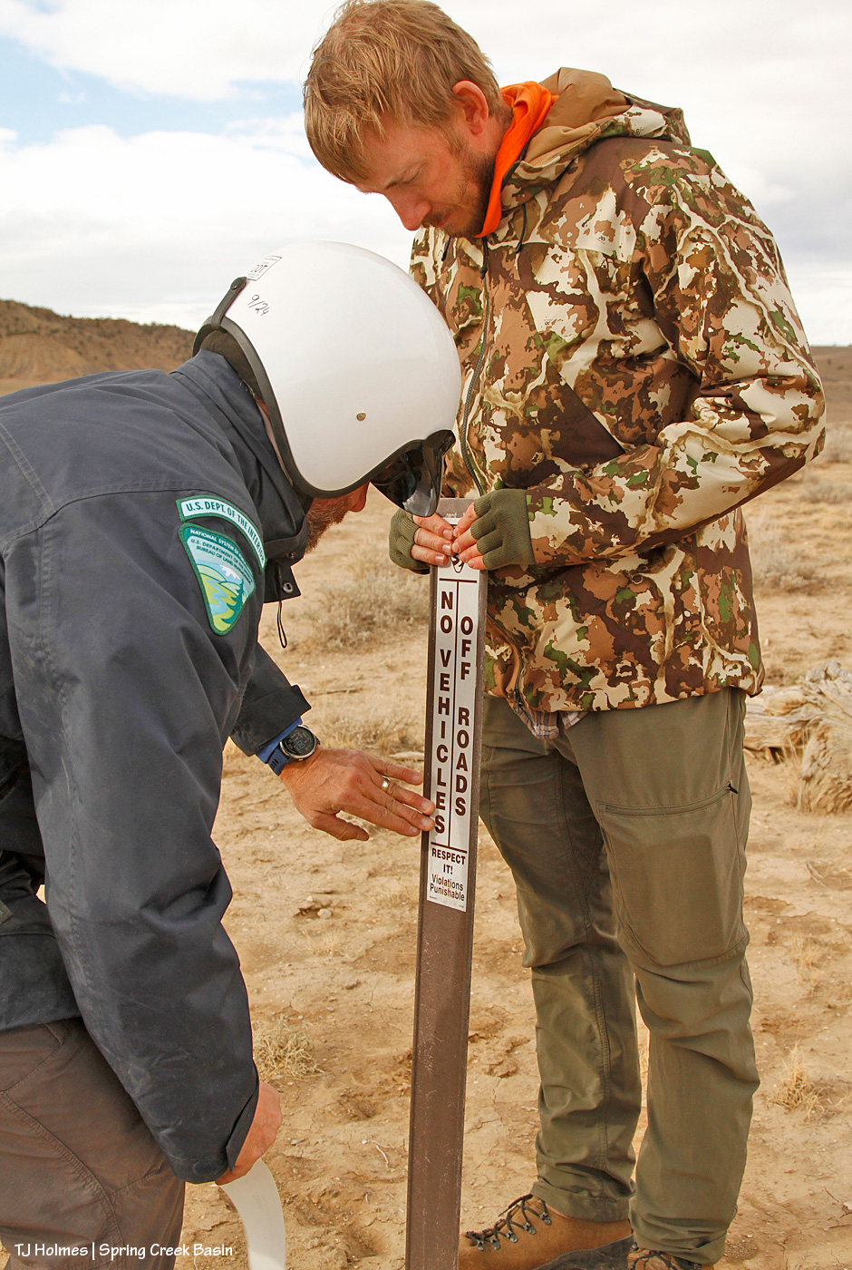
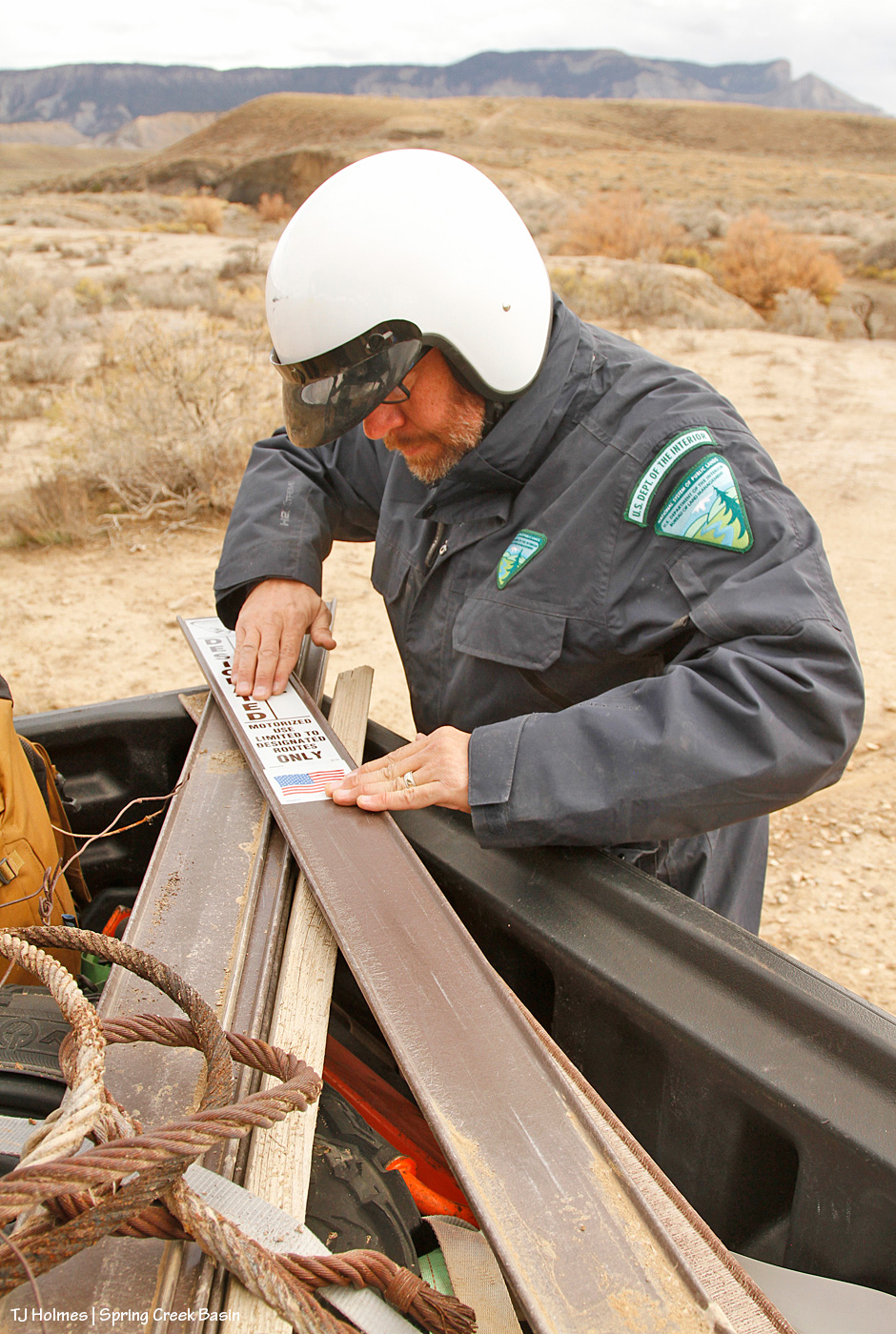
Wonder what “carsonite” is? Apparently, it’s a brand, which means that I should be capitalizing it, but I think I’m going to leave it because we refer to it somewhat generically. It’s like fiberglass, and as Jon will tell you, don’t (try not to) touch it with your bare hands/fingers.
And on goes the new sticker over the old, faded one!
This is a place on a curve in the road, and the edge of this level of ground is less than 50 yards away. … But it had been just too tempting for people to DRIVE over there to look over the edge as opposed to leaving their vehicles or buggies at the road, getting off their butts and WALKING over to look over the edge. So that’s why we had placed the sign there years ago – and why I’d “reinforced” the message with the old branches you see on the ground. There are any number of places in the basin where I have seen tire tracks that lead from the road to the edge of a ridge or place where the ground falls off, including this last driving (aka “hunting”) season. It makes me craaaaaaaaaaaaaazy.
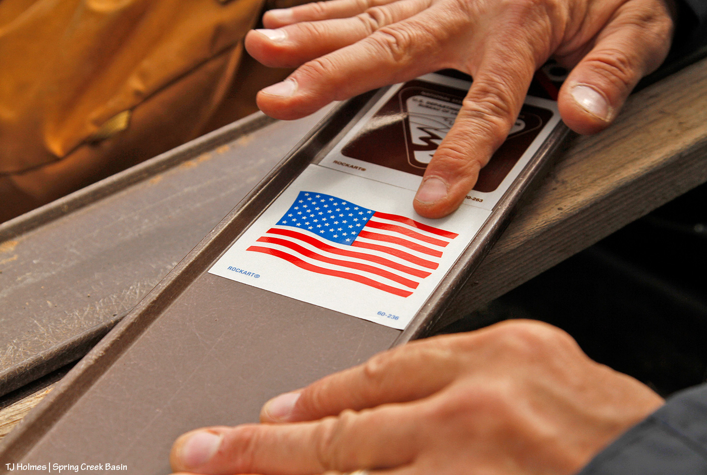
No less important in terms of the sign stickers and their meanings: the American flag. These are America’s public lands! Respect them, no matter how you use them!
On to our next location, a reminder to not handle these signs with bare hands: splinters! This is the location of an old “Y,” driven in by people too lazy to use the actual road (up the hill) to get to the main road, which comes out not even 75 yards away. Interestingly, this is the site of one of my very first volunteer projects for BLM in Spring Creek Basin; shout out to Kathe Hayes, retired long-time volunteer coordinator for San Juan Mountains Association, who spent countless hours shepherding excellent projects in the basin (including the much-loved alternative spring break program with University of Missouri students). You might have heard that Colorado gets 300 days of sunshine every year. In Disappointment Valley, we take pride in the fact that we likely get about *600* days a year of sunshine (har har). Remember the faded information board that led to the installation (with our most-excellent BLM folks!) of the new kiosk earlier this year? Yeah. You laugh, but we know how much sunshine we get! These signs were due for updated and easier-to-read stickers.
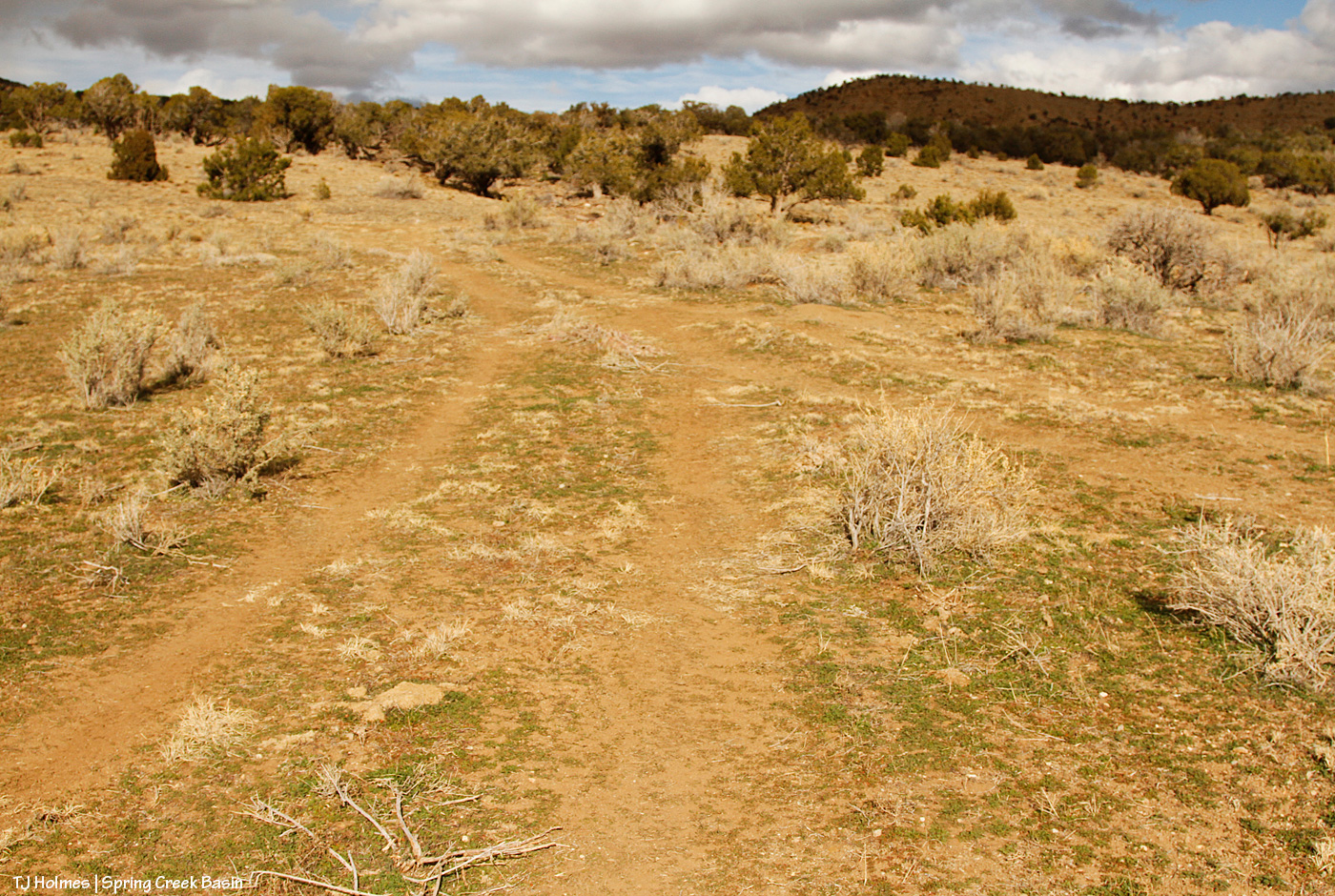
This image really illustrates why it’s so important to protect the resources of Spring Creek Basin, specifically, and many of the West’s drought-fragile landscapes in general: We closed this route 17-18 years ago? It STILL bears the traces of the drivers who ignored that fragility and made a new route because they were too lazy to use the established road – a “designated route,” as BLM calls them.
Every illegal “Y” has its other end, so here are the guys adhering a new sticker to the carsonite sign at the top of the hill. The actual road is right behind Jon.
On to our next location! This was the first installation of the day of a new sign, and we put it at the dugout intersection, which marks the start (or end, or both!) of “the loop,” which is no longer completable (is that a word?!) by vehicle or even most UTVs/ATVs because of washouts (which was the main impetus behind the day and the signs, as you’ll see later). Note the rusty old cable; a bonus to attaching the new stickers to the signs at either end of the old “Y” was that I spotted both old wire clumps and this length of old cable, starting to erode out of the soil, where it had been for … decades? At least nearly 18 years.
This sign, at an intersection, reminds travelers to stay on designated routes. Jon lamented this need, as there are no fewer than THREE big signs from just south of the highway to just before to just inside Spring Creek Basin’s western boundary (and main entrance) that warn that exact message (along with similar signs all along Disappointment Road). … I think of them as just another pretty-please reminder.
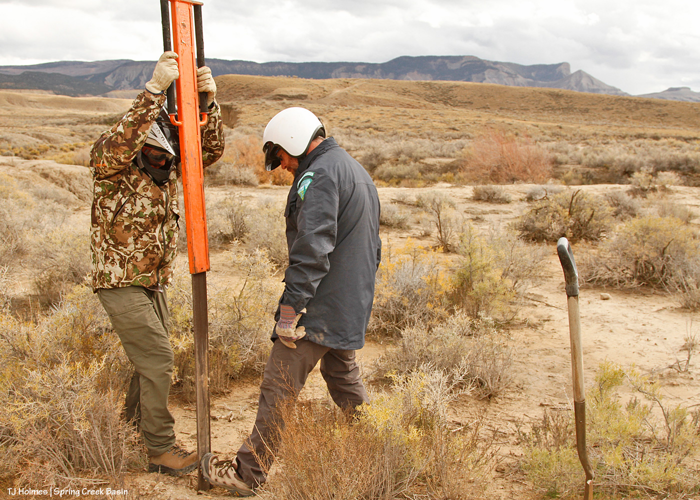
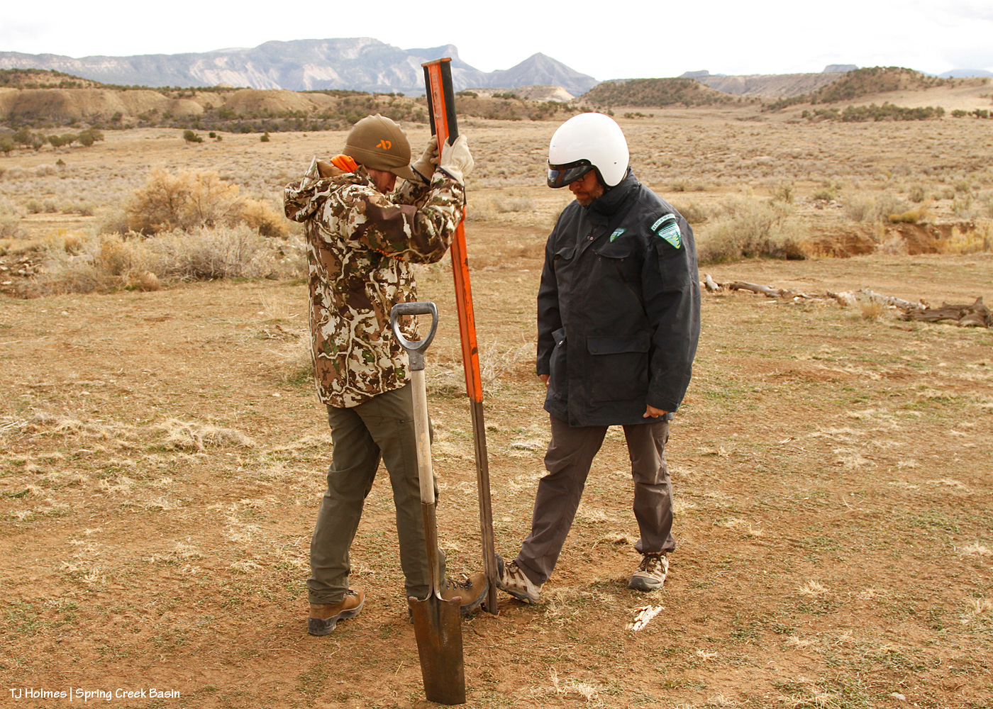
Wonder how the heck one of those narrow, flimsy signs is installed, aka pounded into the ground?
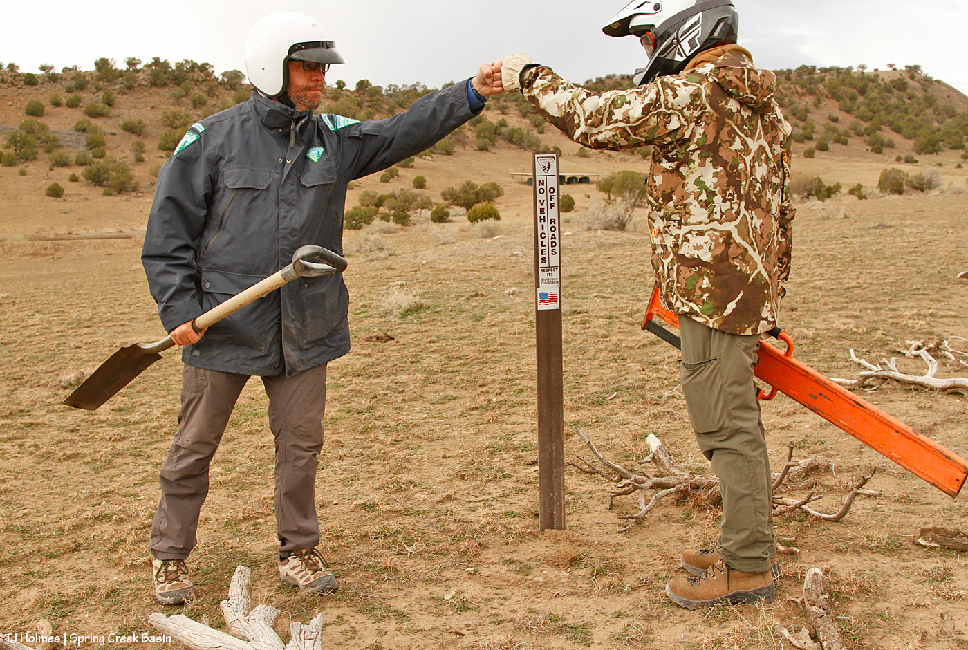
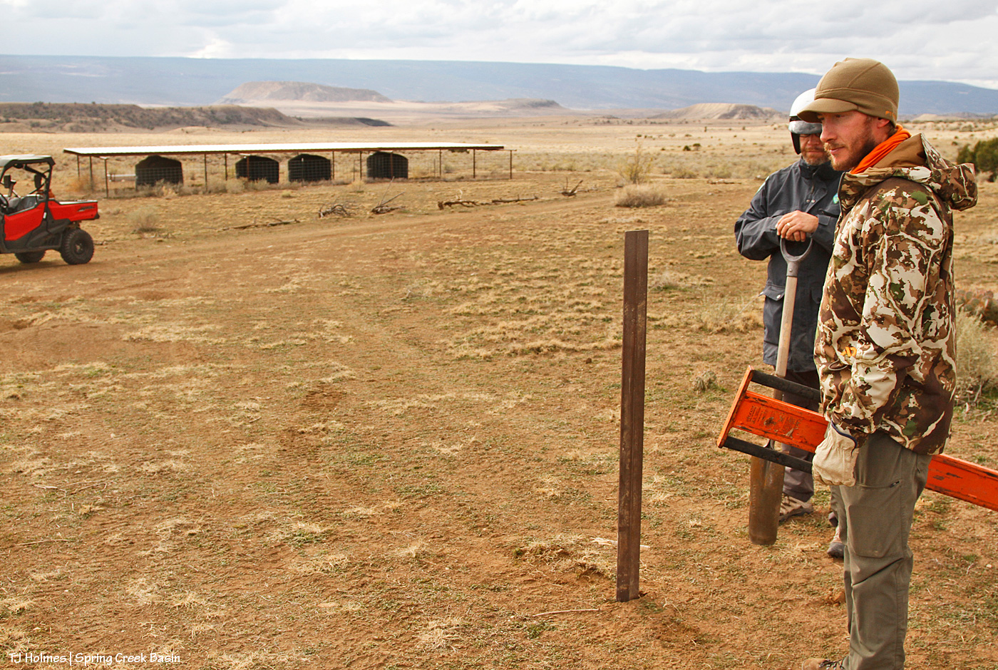
It requires a specialized “pounder.” First, you need the “tile spade” pictured at right, to create a “slit” in the ground and test for out-of-sight rocks (and with our recent rain, the damp ground was very accommodating!) to ensure you *don’t* hit rock. As Jon said, if you pound that flimsy, floppy carsonite sign and it hits rock, the whole thing is wrecked. Then the pounder does the rest. I’ve wielded my fair (or more than fair?!) share of T-post pounders, where you have to hold the post steady or have an unflinching friend do it so it doesn’t twist. Note the men’s toe-to-toe technique on either side of the base of the carsonite; that was to prevent it buckling as it entered the ground.
Now we’re getting to the new water catchments and where I really, really wanted the signs. This one, pictured, was the second one built by Mike Jensen, Garth Nelson, Daniel Chavez and me (the first one included Jim Cisco), in 2022. People really can’t help themselves (!) from driving where they shouldn’t, including over not only fragile ground that doesn’t recover quickly (see above) but also the very limited vegetation on which the mustangs AND deer AND elk AND pronghorn graze and browse. You can see by the wood scattered around that I’ve tried to block it using natural means; people just drive across the ground from somewhere else (at least three other places that I’ve tried to block at this location). And not only directly to the water trough and tanks but to the pond (which, thankfully, is holding water!). … Like, WHY??? I get the curiosity; but have some respect and WALK.
And now we’ve reached the last stop, and, to/for me, the most important.
The 2021 water catchment is behind Jon, not 50 yards away. See the wood on the ground behind him? Over the last two years, I’ve dragged a number of old branches and trunks down from the trees up the hill to line the edge of the road to prevent lookie-loos from lazily driving down to and around the water trough, downhill from the roofed catchment tanks. It has mostly worked, though I’ve had to add more as people, too lazy to even move the blocks, find a “hole” and think that’s OK to drive past/through/around. (And we still found old tracks that indicate people are still doing it. Sigh.)
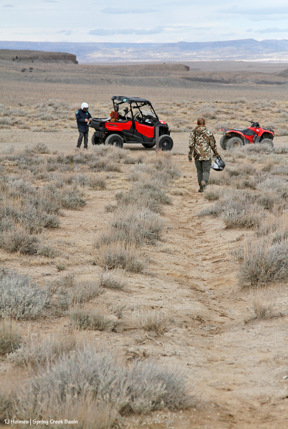
But in 2024, when we had big, flooding rains in early summer, the road, directly ahead of the UTV in the pic, washed out, leaving a gaping chasm where the road had been (you can see the line of it in the pic). That, effectively, ended the road right there. … Until hunting season, which was wet last year, and people repeatedly drove around the washout to continue, driving-in a rogue and illegal route and damaging resources – again, the vegetation upon which the wildlife depend. I literally cried. And put up more blockade branches and trunks on that side … which people continued to ignore and drove either over or past.
When we arrived at the location, which I hadn’t visited at all this past hunting season as my heart just couldn’t take it, sure enough, people had left my last blockade intact … and just created yet another new route to get around the washout – which is even worse now and even washed away their “shorter shortcut” (which I’d also attempted repeatedly to block).
But I didn’t cry at the destruction this time because I had guys with me who were about to justify my upsettedness at the lazy-ness of man (to be fair, most of them have been men), and we were about to proclaim in more certain terms than dead-pinon/juniper trunks/branches and big rocks that YOU SHALL NOT PASS! (I do love a fellow LOTR fan! Thanks, Ryan!)
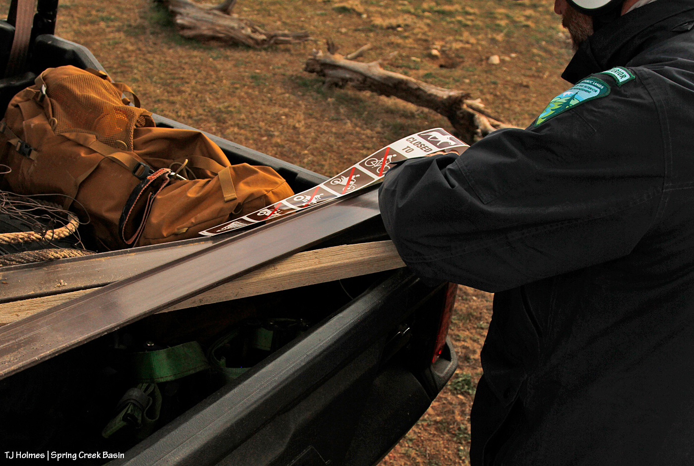
The sticker going on the carsonite for the sign you saw in yesterday’s post.
Along with:
I really kinda love this pic. Those are hands that belong to someone who cares deeply about our public lands, their value and their sacredness. And though they’re the hands of only one, *I* know, and I tell you with all sincerity, that hands just like that belong to every person at Tres Rios Field Office (at least).
Sign inserted into pounder; check. Note the tire marks Jon and Ryan are standing on. The road is immediately behind Jon.
Pounding commencing; check. At right, you can see my blockade – untouched because the drivers just shifted to driving where Jon and Ryan are installing the sign – and above that, the washout. It starts at the left (literally) and runs right/south/downhill to join a bigger arroyo/drainage downhill of the catchment.
Now looking back to the road (on which the UTV is parked), my blockade along the road to try to protect the water catchment. The silver trough is just visible to the left of the leftmost tank. Yes, it’s THAT close to the road. NO need to drive down there when it’s so easily walkable to get a better/closer look! The tire tracks on the rogue route are really distinct in this image.
For a better look at the rogue route and the resource damage caused (after only two years):
The track at right is where people first started driving off the road to get around the washout. Directly ahead is where they shifted so as to ignore the blockade that plainly (!?) was meant to deter people from driving illegally over our precious and drought-limited grasses and other vegetation (cacti and four-wing saltbush are among the most destroyed).
From where they crossed the “head” of the washout, over bedrock, to return to the actual road, which is semi-visible along where this illegal route makes its last curve.
Why ELSE is this rogue route so infuriating (as if destruction of resources and the vegetation the mustangs and other wildlife depend on weren’t enough)? Within a short distance (less than a quarter-mile?) is another, bigger drainage and semi-washout (that has been hunter-filled with rocks to make it crossable). But just another quarter-or-less-mile past THAT is a washout that isn’t crossable except by walking, riding a bike or a horse or a motorbike or perhaps jigging a relatively small ATV around – and that was the last time I saw it. With the more recent rains, it’s possible that even jigging isn’t possible anymore. Either way, it’s a risky or not-possible-to-cross washout, so why destroy resources just to continue driving another half-mile??? ARGH! It has made me craaaaaaaaaaaaazy!
While out in wildcat valley a few days ago, during third rifle season, I sat with a band and literally watched a truck drive up to the washout, see the washout, back up and drive around the washout to continue on … to the washout they couldn’t pass. … Then return. Following the tracks made by others. I know these people are *just* trying to access public lands, and I am not inherently anti-hunting (though I am very against the *driving* culture that seems to be “the way to do it” out here). I believe *respect* is key, and animals are trying to survive on this fragile landscape. Please, please respect the land AND the wildlife!
I am keen to say that I’ve noticed that other signs such as those we put up Wednesday have been very much honored in the basin regarding non-designated and please-don’t-drive-on routes. I hope these signs also are honored, and I hope it indicates to visitors that we have land managers here who give a damn about the land and the herd and the way our natural resources are treated.
No joke: THIS happened over Jon and Ryan as we were leaving. 🙂 AND I found an old horseshoe while we were installing another sign (I didn’t think to take a pic, but it was a much better find than the rusty old wire and rusty old cable). If those aren’t *signs* that Mother Nature herself is happy with our work, I sure don’t know what are.
Absolute heartfelt gratitude to all who made this happen, including and hugely Jon and Ryan! This was a very long post about seemingly very little things, but those little signs have the potential to signal big impacts for the preservation of Spring Creek Basin and its vegetation resources for generations to come of mustangs (as well as deer, elk and pronghorns, and no, I do NOT apologize for hammering this point!), not to mention all those living their best lives right now. 🙂




 2-
2- 5
5 mm) that resemble Dippin’ Dots or Styrofoam. These fragile, slushy particles are often called snow pellets and, unlike hard hail, crumble easily. They occur during wintry mix scenarios, causing sudden, slick conditions, and are identified in aviation reports as ‘GS’.”