It should go without saying: Every day, the fire – and the smoke – is different. The Ferris Fire is up to 28,801 acres and 10 percent contained. As Watch Duty says, “That still leaves a lot of uncontained perimeter, but fire crews are still on the line this hour [6:42 p.m.] working to increase that number and there will be personnel working overnight again tonight [Thursday, July 2].”
Yesterday morning, Disappointment Valley was pretty socked in with dense smoke again, but it cleared faster than the day before (which is still relative, as smoke still lingered closer to the ground into early afternoon). Fortunately, it’s lifting by late afternoon and evening.
Yesterday afternoon, it became, as noted, a tale of two skies: smoke across the entire east, from south to north from the Ferris Fire; low smoke across the western horizon from the Babylon Fire in southeastern Utah (81,494 acres!) and clear blue sky above, south/southwest across the west to the north.
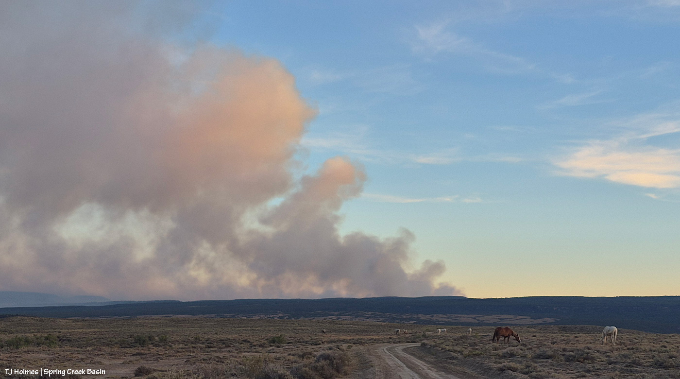
These next three pix are the Ferris Fire smoke:
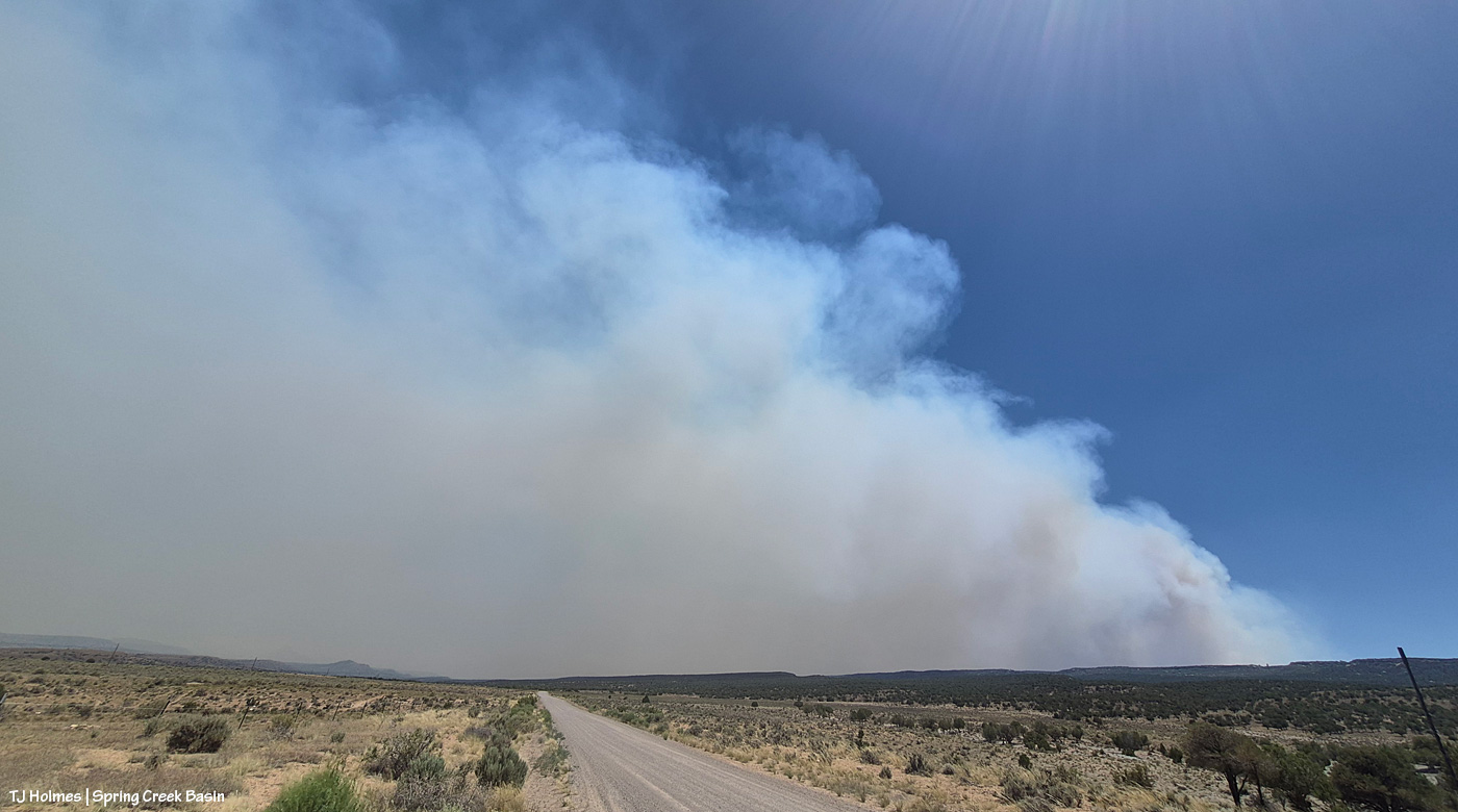
That’s the southern – probably southwestern – edge of the Ferris fire, south of Disappointment Valley (more the upper valley than the lower valley, which is behind me). The smoke is drifting to the left, which is north.
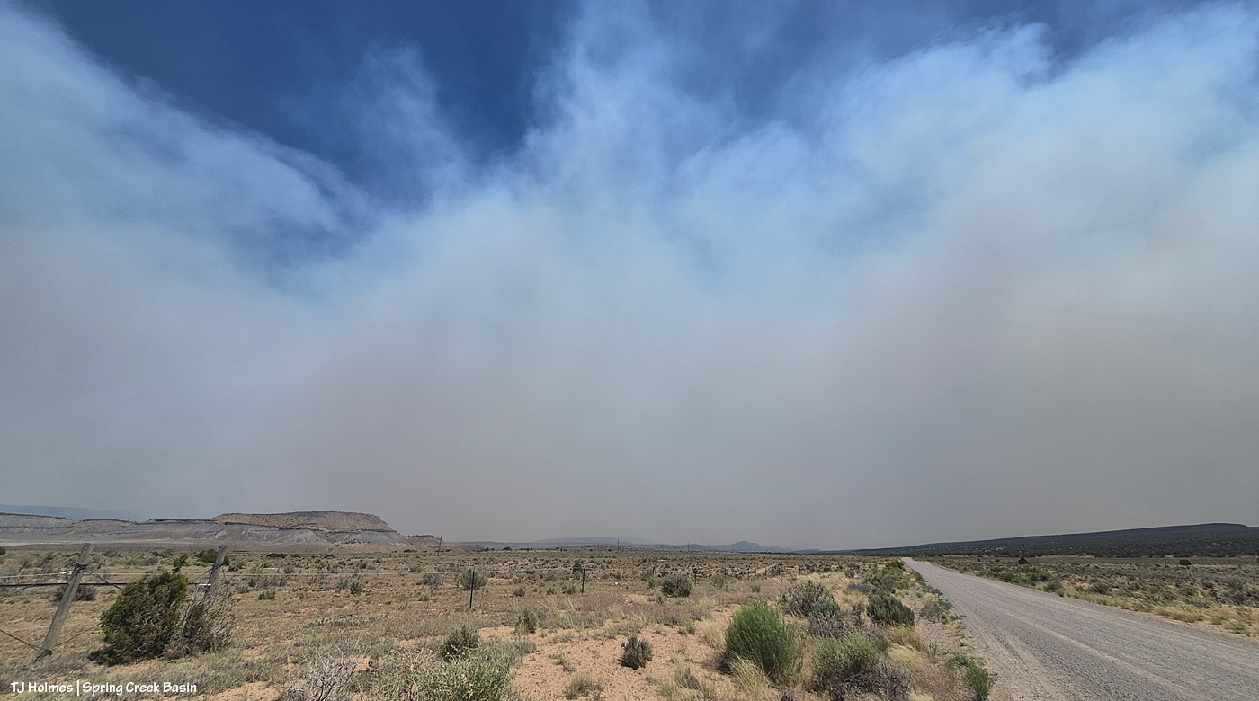
Looking southeast/eastish straight up-valley and up Disappointment Road from southwest of Spring Creek Basin. (I know, it’s weird; up-valley in Disappointment Valley is up/higher elevation, and it’s southeast, which people usually refer to as “down”!) The rimrocks at lower left form the western boundary of Spring Creek Basin, and that’s Filly Peak, within the basin, just above them. On a clear day, you could see Temple Butte and McKenna Peak and Brumley Point from this vantage point.
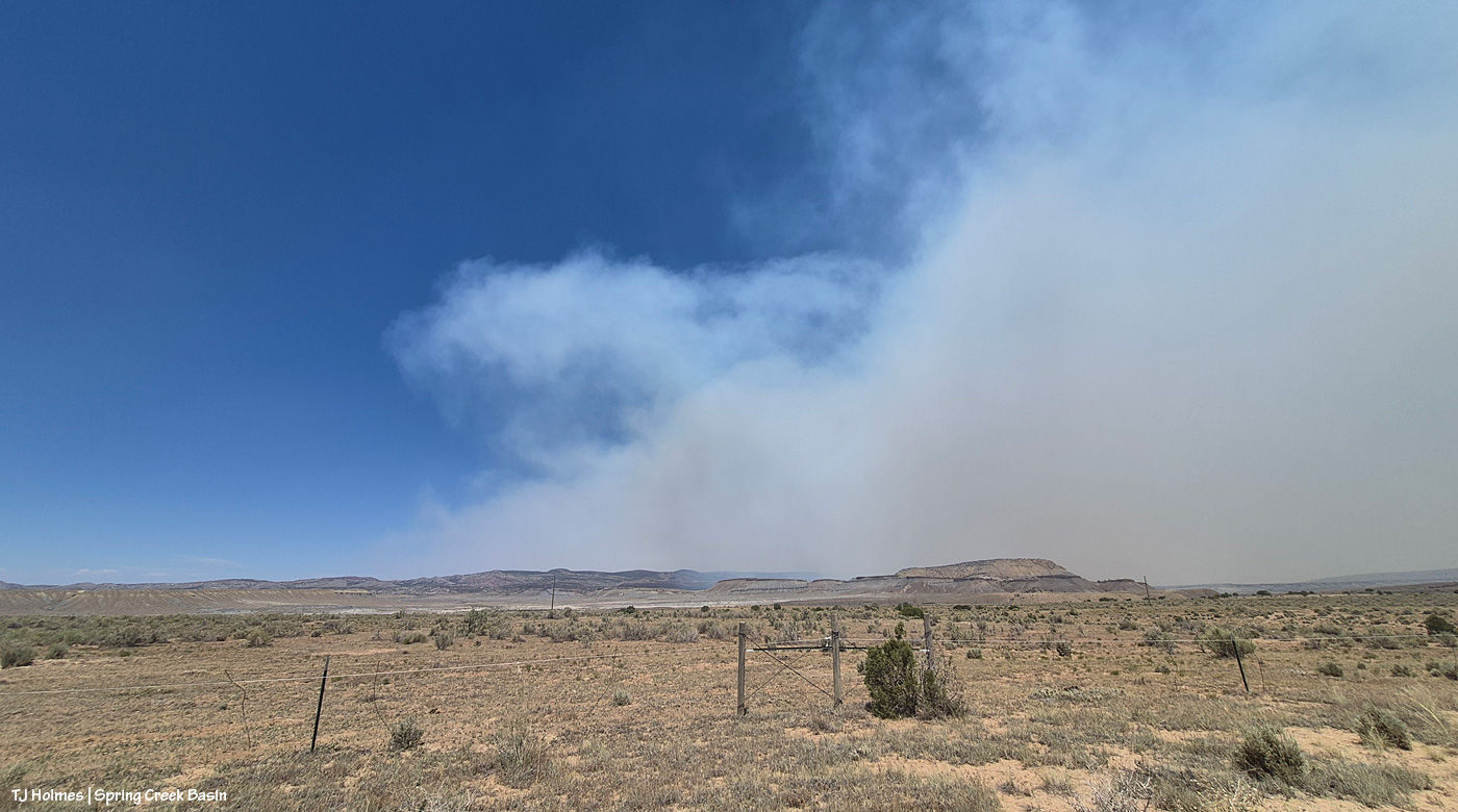
This is looking east/northeast/north. Even with my phone’s widest angle, I can’t get the entire smoke-drift in one image, south to north, basically. See that blue sky at left in the photo above and to the right in the first pic?
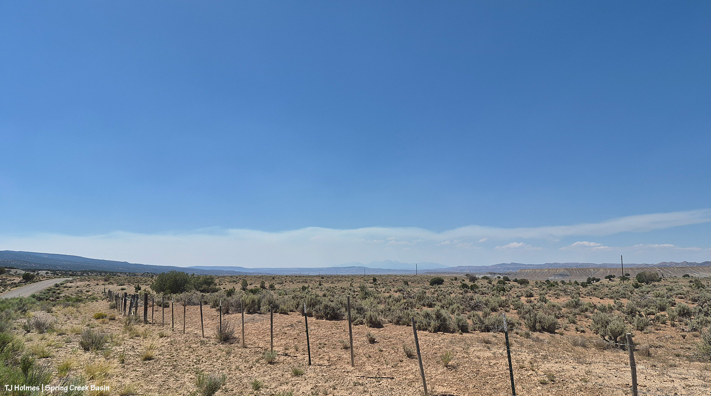
Now let’s turn directly around and look west/northwest, and this was the view: mostly blue sky above the low smoke layer, mingling with some low clouds, from the Babylon Fire, drifting again from south to north across our western horizon. Quite a difference in the two halves of the sky, eh?
Now a couple of evening pix, looking at the changed smoke from the fires:
Seneca and Chipeta, looking west toward Spring Creek canyon, sunset and the Babylon Fire smoke.
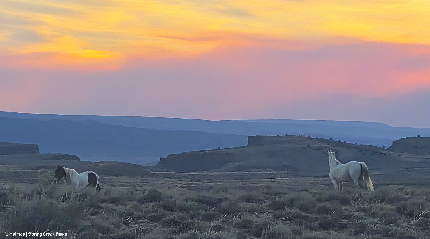
Flash’s band, looking south to the sunset-colored smoke from the Ferris Fire.

I know, TJ. The smoke clouds are very weird in their travel trajectories. We’re often left with a little blue patch over us as well while the Ferris fire smoke northwest of us runs further north then east. Dramatic photos , TJ. I’m glad our mustangs have some “breathing room” under those blue-sky moments.
It’s really expanding to the west now, and I saw it has crossed the Dolores River. Firefighters/managers expected it, but yikes. That’s giving us the most smoke here. We need the rain that is stubbornly not in the forecast. 😦
🥺
Thanks for your report!
Staying on top of it, thanks to reports from other trusted BLM and firefighter sources, as well as the Watch Duty app. Thankful for all the info and especially the firefighters keeping up the fight!
Really heartbreaking! Praying for rain!
I definitely don’t have a camera lens wide enough for all the smoke. … It’s definitely not local anymore. The wind is moving it well beyond its source. Definitely praying for those rains!