As of Thursday afternoon, there are currently NO evacuations active for the 64,881-acre, 59-percent-contained Ferris Fire, though several areas – including in or near Disappointment Valley – are still at “ready” status (that means exactly what it sounds like: Be alert, prepared and ready to move should conditions call for it). Various BLM and U.S. Forest Service closures exist in the region. As far as I know, the middle section of Disappointment Road remains closed, though that could (likely will?) open soon.
Two words: FIREFIGHTERS and RAIN.
From Watch Duty: “Team 7 wishes to thank the communities around the Ferris Fire for their welcome and generosity.”
For the strength, endurance, skill and courage of the firefighters – on the ground, in the air, on the line, acting as support – I am sure the gratitude from our side is massive and total. I’ve done a lot of “thank you, thank you, thank you!” the last couple of weeks. And that includes BLM range guy Ryan Schroeder, San Miguel County Undersheriff Nick Xavier and all of his deputies, including Dolores County Deputy Branson Smith. We ARE community, and yours thanks you all.
This pic, taken Sunday from between the main/original water catchment and Filly Peak in Spring Creek Basin, is looking southeast toward the Glade and Benchmark Lookout. A few days before, I’d seen the red swaths of retardant across the trees while looking at smoke up there, but I didn’t manage to get a decent pic that showed it. While fire continues to smoke in that area (that’s the Ferris Fire’s northeastern edge), clearly firefighters and aircraft pilots have been hard at work. So hugely grateful! Rick and Linda Freimuth, who staff the tower during the fire season (!!!) hope get the green light to return this week. The mustangs and I (you know they would if they could) will be cheering their return.
Now, some taken yesterday (Monday):
Storm brewing to the east. Spring Creek Basin’s western rimrocks and Filly Peak (lower left) are in sunshine, while Temple Butte, McKenna Peak, Brumley Point and the basin’s eastern ridges are shadowed by rain! Woo-the-heck-hoo!
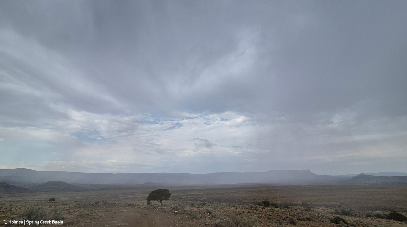
Looking back to the west from the same spot as above. More rain! What looks like white smoke on the horizon at left IS smoke from the Ferris Fire … and I hope it got a good dose of the wet stuff. It wasn’t a high-rain-chance day, but toss the forecast and let ‘er rain!
Methinks the weather wizards were outsmarted by Ma Nature herself. 😉 RAIN, BABY, RAIN! This is from Chrome’s Point in western Spring Creek Basin, looking eastish at a curtain of rain that DID, as I was taking pix, make its way west. Unfortunately, I didn’t get tooooo wet. Ha – I would not have minded!
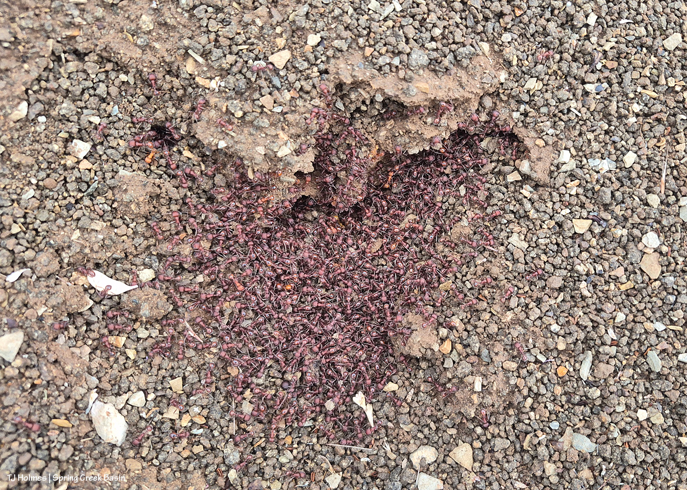
Ants congregating at the entrance to their mound. Apparently, “Ants congregate at their mound entrances after rain primarily to survive flooding. When underground tunnels fill with water, the colony is forced to evacuate. They move the queen, larvae, and food upward to escape the saturation, using the surface or mound entrance as a temporary, elevated sanctuary.” Interestingly, these ants and others I saw doing the same thing in the same relative area happened to be on some of the highest ground in the basin, near the western boundary. I guess that when you’re an ant, everything is at the elevation of ground level (ha ha!).
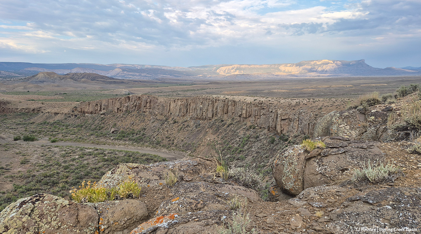
From the south wall of Spring Creek canyon looking eastish after the rain (it didn’t last very long, unfortunately).
Hope you don’t mind this view! It’s pretty spectacular. No, that’s not a road down there in the canyon; that’s Spring Creek arroyo, and just beyond (lower left), it leaves Spring Creek Basin to cross lower-ish Disappointment Valley on its way to join Disappointment Creek (neither of which are carrying water at the moment).
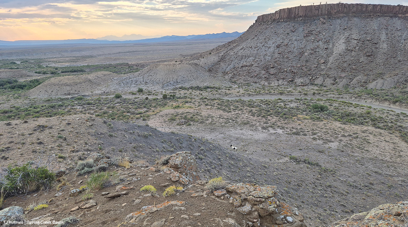
See the pinto pony? This is from the same point as the above two pix, looking generally northwestish across lower Disappointment Valley toward Utah’s La Sal Mountains. There’s a fence across this lower end of the canyon to keep the mustangs within Spring Creek Basin, and there’s a water gap (hanging PVC pipes to move when water DOES flow) across the Spring Creek arroyo. There are a couple of manmade structures down there, one behind McKenna and one kind of in front of him.
As it turned out, though he and his pal and a band were in the vicinity – and the reason I walked out – it was something else entirely that actually took me all the way to the canyon rim. … And that will wait for another post because I got some pix that knocked even my socks off.