Can’t-be-contained bonus

27 11 2024

When I was a young Coloradan, newly moved to Durango from Texas, my then-co-workers at The Durango Herald can attest to the fact that the first time snow fell that winter, I went a little bonkers with excitement.

Not much has changed, 22-plus years later. 🙂

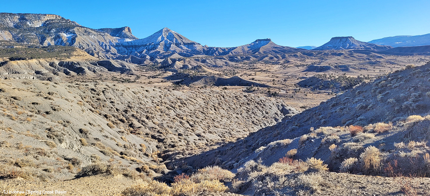
We had another great (rain to) snowfall overnight, and it was a wonderland of white this morning – and muddymuddymuddy underneath. The snow is nearly all melted – at least down-valley – now, but rather than wait for tomorrow, here’s a peek at the Thanksgiving-Eve bounty in Spring Creek Basin:

Shortly after sunrise, Chrome’s Point, looking south-southeastish. Flat Top and Round Top are at left in the distance, and Filly Peak is at right.
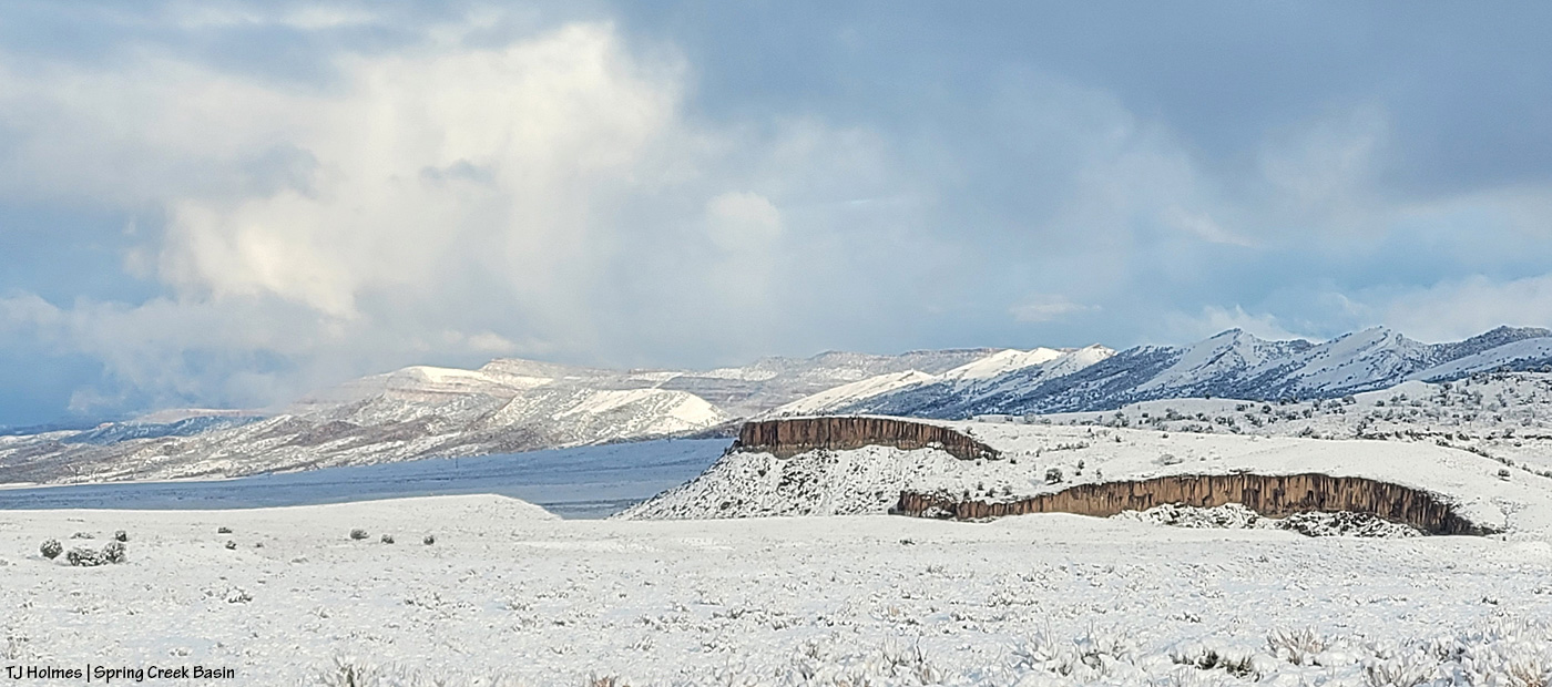
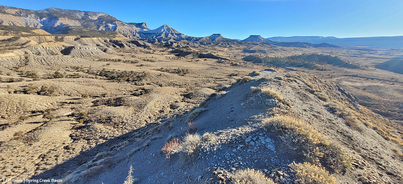
Looking back north-northwestish, the difference in light is dramatic (this was maybe only 10-15 minutes after the first pic?) as the clouds linger at the higher elevations south and east of Spring Creek Basin and have started clearing to the west and north (though the mountains were engulfed in clouds the whole time I was out).

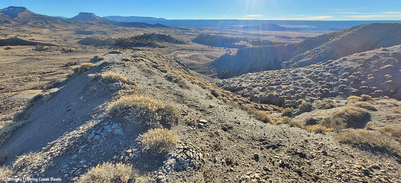
Holy heavenly light. If I’d been able to see that spotlight of light, with my own eyeballs, at the time, I would have brought out the big gun (these are all from my phone – handy little pocket cam that it is). Wow. Knife Edge is ahead to the left; Brumley Point is visible at far right. Temple Butte and McKenna Peak are still completely within the clouds.
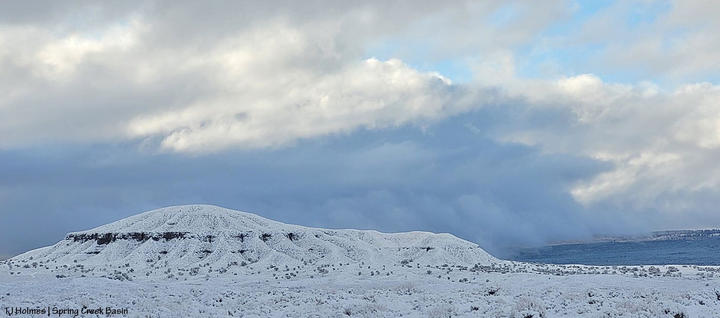
Round Top – aka Saucer (as in flying) Hill – with snow still pouring from the moisture-laden clouds to the southern ridges of Disappointment Valley and beyond to the Glade.
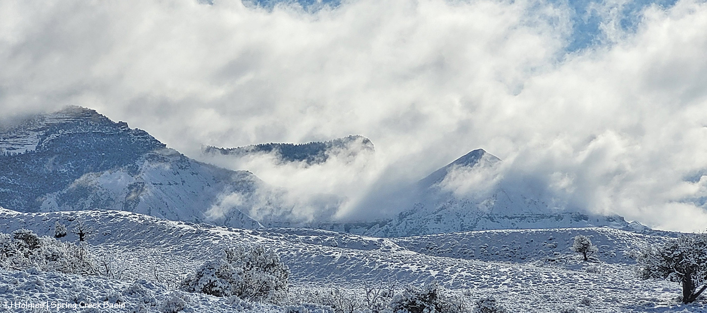
I was just below the base of Knife Edge with mustangs when Temple Butte and McKenna Peak were starting to emerge from the still-billowing clouds. Dramatic much?!?
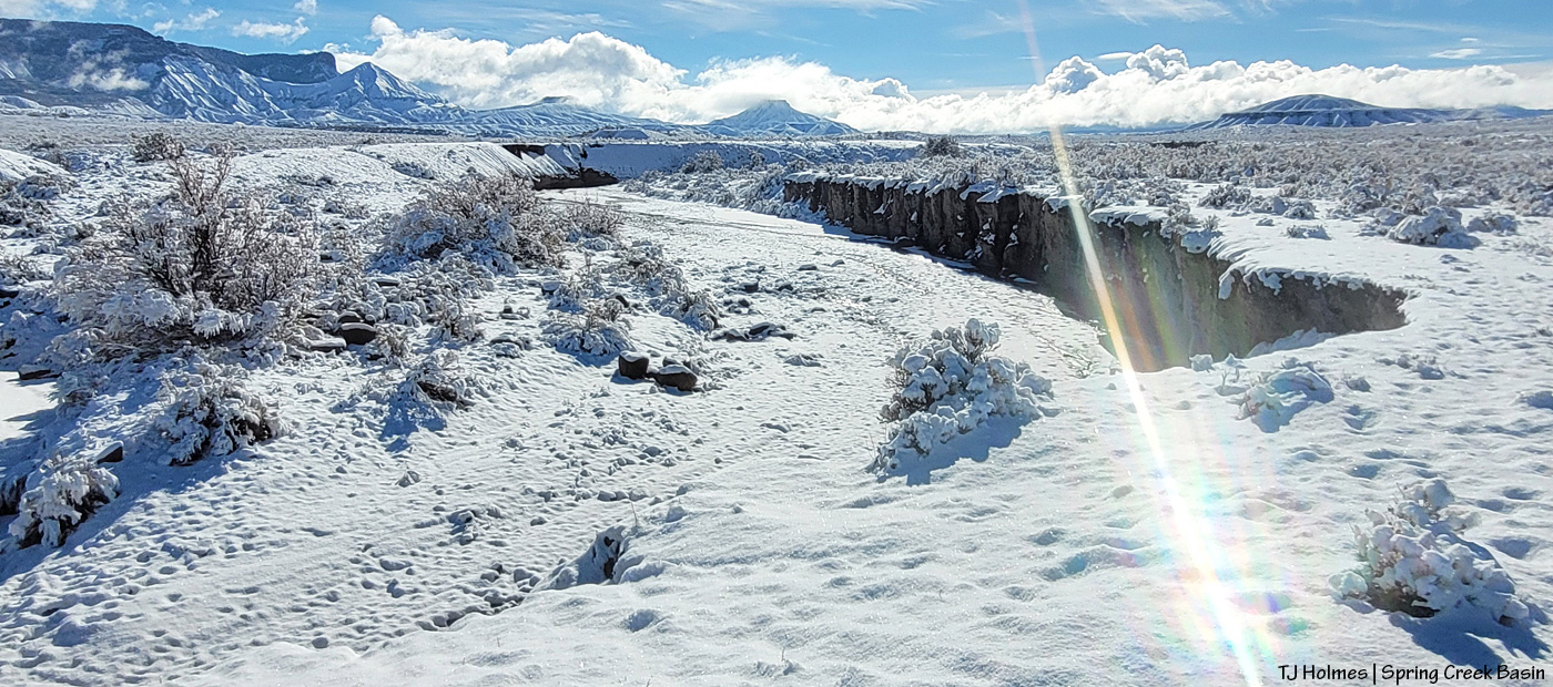
Heading back to my buggy and the road, looking upstream at the Spring Creek arroyo toward its source at McKenna Peak … Temple Butte behind it … submarine ridge to the right … Brumley Point straight ahead (it sits right on the basin’s southeast boundary) … Round Top at far right. Water WAS trickling through the bed of the arroyo in some places (like where I crossed).
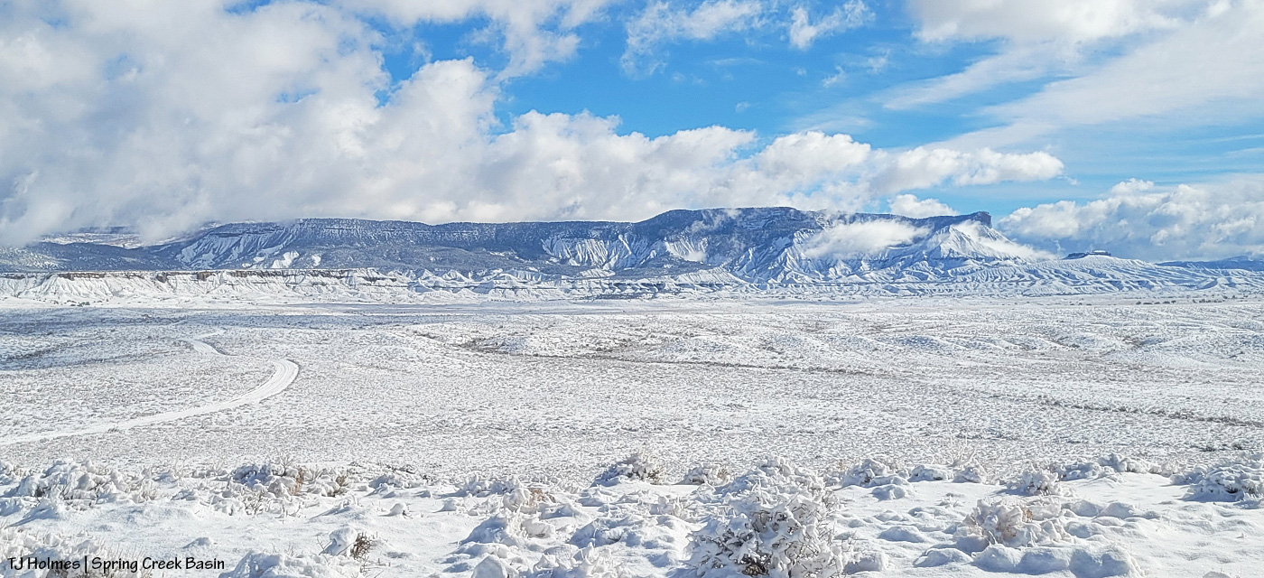
From the ridge at the main/original water catchment (oh, how I hope this snow provided lots and lots of water for our catchments!), looking eastish across the basin. I mean … who DOESN’T get giddy at the sight of snow?! 🙂 Knife Edge is the ridge at far left with the top rim just barely free of snow. See the trees at the base of the ridge at almost farthest left? That’s where the ponies are (the ones I visited, anyway).

This one’s a little out of order, but it sums it all up. 🙂 I love mustangs; I love snow; I love Spring Creek Basin and its mustangs in the snow!

That’s our water. Our moisture. Our lifeblood for growing things.

So, so, so, SOOOOO grateful this Thanksgiving Eve. Happy gratitude to all you wonderful readers and your families on this, my very favorite holiday. Hope you all get to spend it with those you love, in places you love. 🙂


‘I love magic’

26 08 2024

Prepare ye for brilliance.

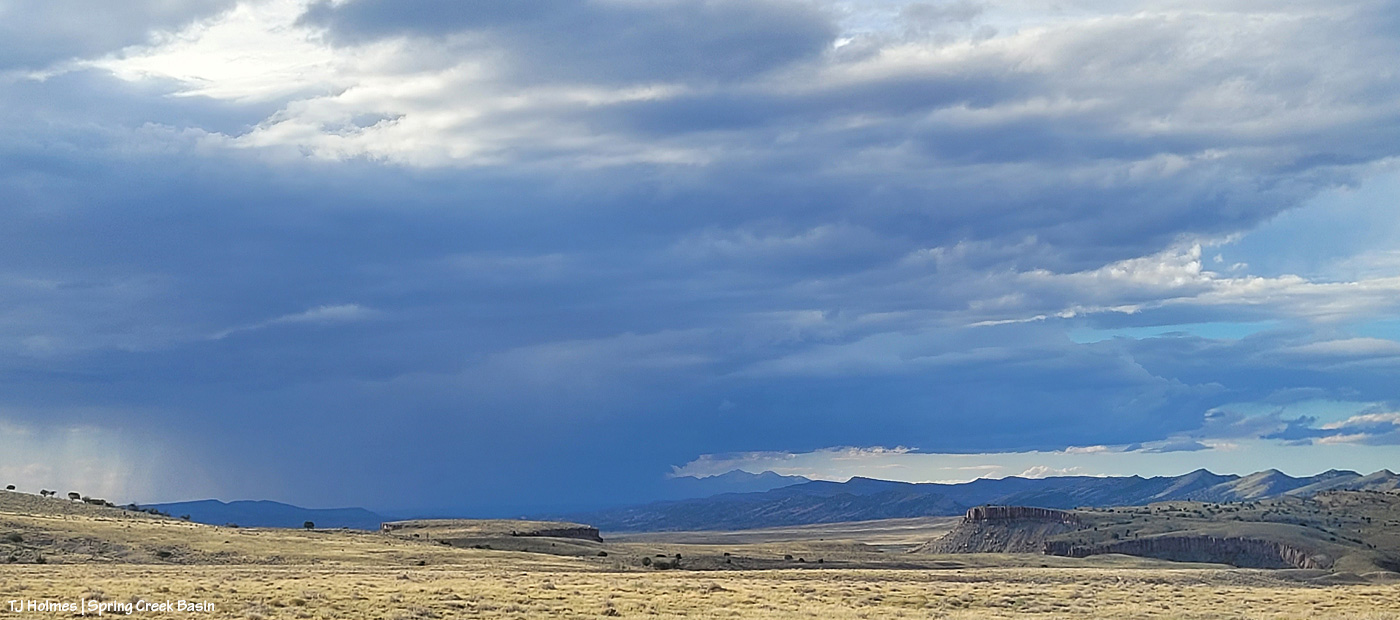
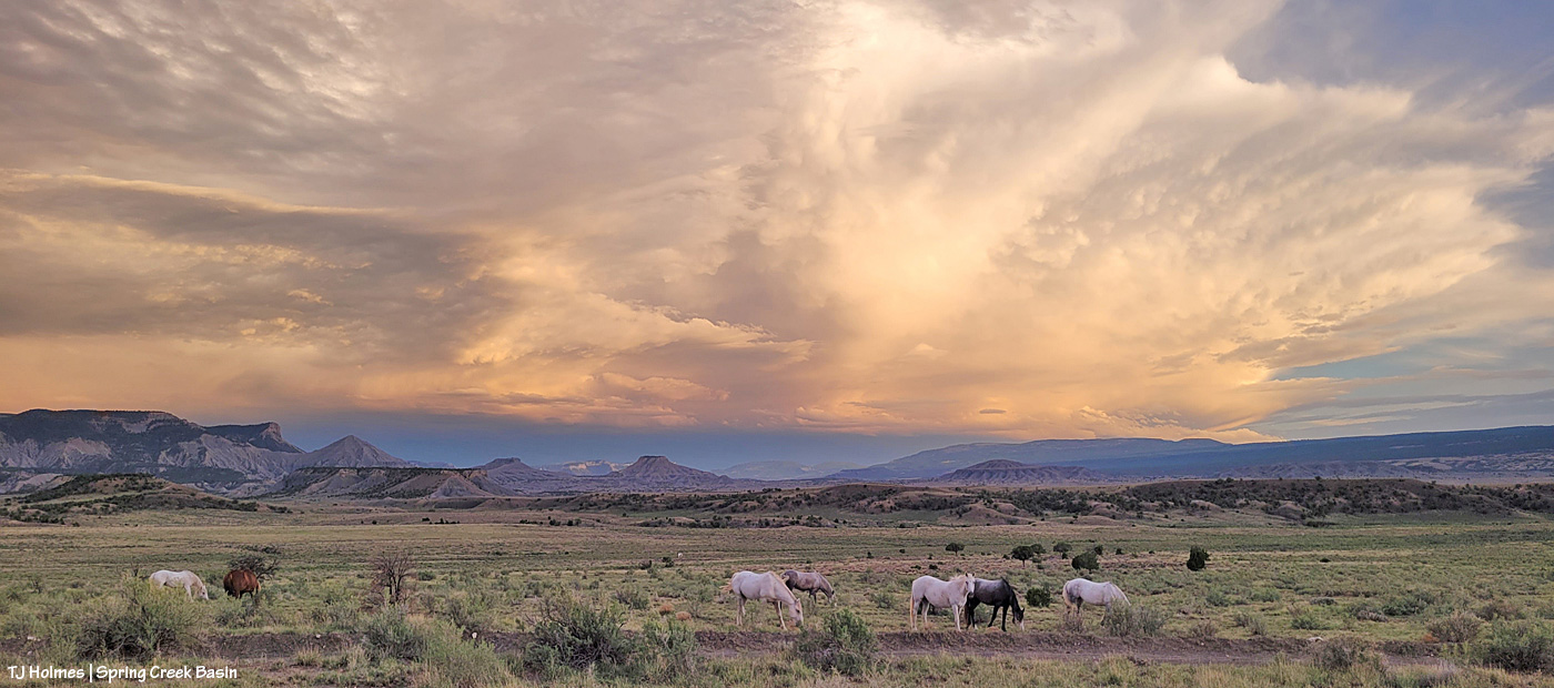
When I went into the basin Saturday evening, this was the view to the northwest beyond Spring Creek Basin, its namesake canyon and lower Disappointment Valley. You can just see eastern Utah’s northern La Sal Mountains at the right edge of the vast curtain of storm-rain.

This pic, with its sage-covered foreground, semi-jagged horizon and gorgeous-glorious sky with angel rays above an isolated downpour of distant rain, illustrates *The West* to me.

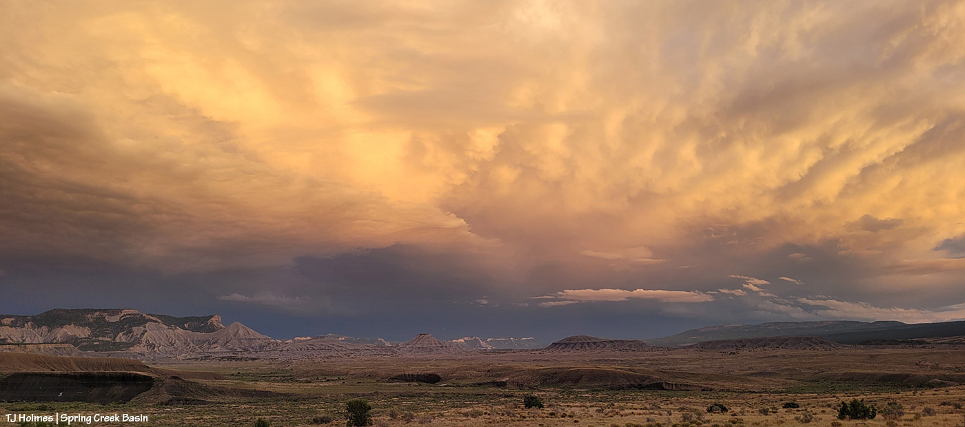
Fast forward a couple of hours, and this was developing above our southeastern horizon: end of Valentine Mesa, Temple Butte, McKenna Peak, the crowns of submarine ridge and Brumley Point over Knife Edge, The Glade in the far distance (hi, Rick!) beyond Round Top and Flat Top.

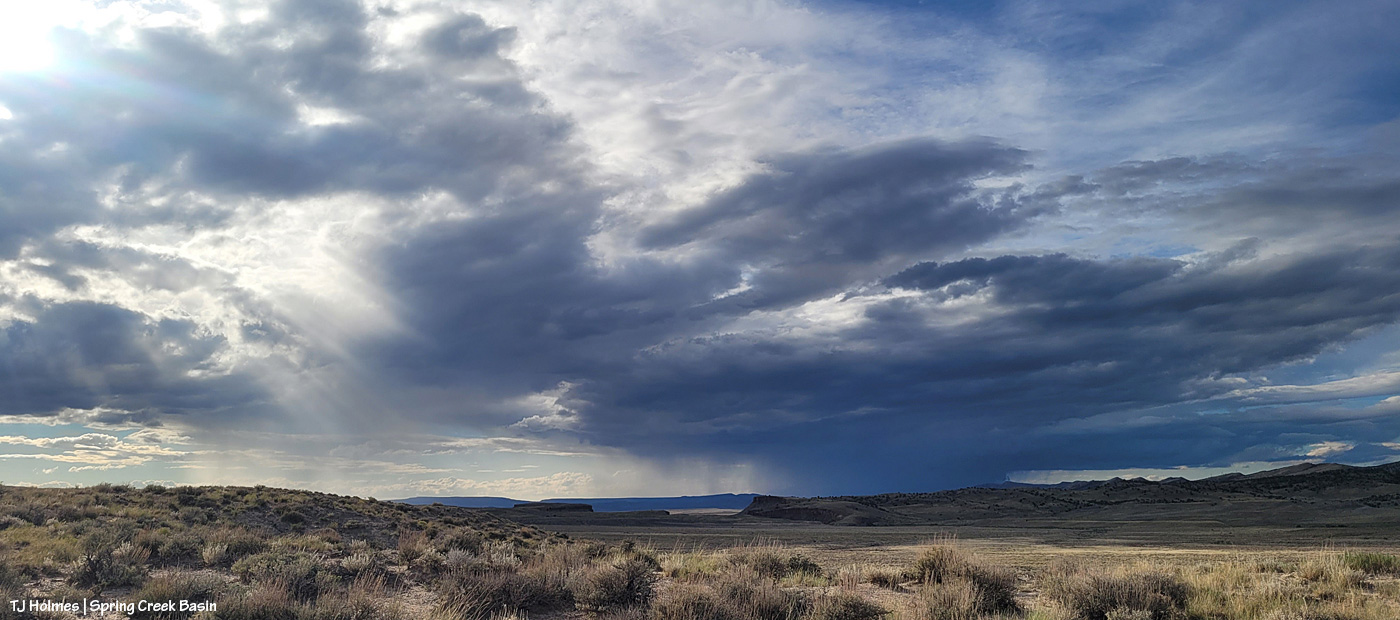
At the same time as above, this was the view to the west. I thought we were going to get last light through that window to the right of the sun, but the clouds had other ideas.

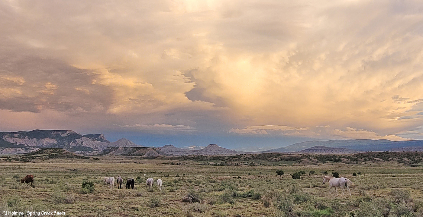
While my very long lens is perfect for capturing pix of the mustangs, not even my wide-angle lens (if I’d had it along) is wide enough for this amazing view of Storm’s band under the, uh, storm clouds (he WAS born under a storm!).

The light on those clouds – and the very far ridges (bottom center between submarine ridge and Brumley Point) – with that narrow band of dark, dark blue (that’s rain away off yonder) … WOW. And just right of very bottom center is a young wild pony who recently left his family and is usually with a calm elder-ish bachelor but this evening was having fun (between peaceful-grazing energy-restoration periods) creating havoc among a few other widespread bands.

Storm at right heading back to his band after leaving a deposit on a stud pile on the road (where I am … really needing to leave as dark approaches but unwilling to leave the gorgeousity).

Other than sharpening, this pic is exactly as it came out of my phone’s most-excellent camera (how DID we survive without cameras in our phones that we can take to the wildest places on Earth?! I won’t be without my camera-cameras … but I do love my phone’s camera for the wide, wild shots). Nerd info: The other pix also had some shadow-lightening applied (with sharpening) to better see the horses in the foreground, but that’s it. WHO NEEDS AI when you have this kind of light happening right in front of you????

It’s straight-up magic, folks. Ma Nature is kind of a genius. 🙂 All I do is point and click. And share. 🙂

We didn’t get rain out of either of those storms … but we got *divine* and very fabulous rain Sunday morning!

(Thanks to Harry Potter for this post’s title/quote!)


Up the ridge we go

2 01 2024

Couple of things:

Yes, it really is (still) that dry in Spring Creek Basin and most of the rest of southwestern Colorado. Pooh on the U.S. Drought Monitor for thinking (erroneously in my oh-so-very-humble opinion) that we’re only “moderately dry.”

And: proof that mustangs and mountain goats have a common ancestor (!). 🙂

That’s Sundance (and one of his mares) on a finger of a ridge at the very southeastern end of what we call Knife Edge (which actually is fairly broad on top). This pic, taken with my phone as I hiked out to a series of hills to get up to the ridge that snaked down to where his band was, isn’t even wide enough to show how far to the right I had to go to get to that access area – where I could bypass the rimrocks. The other side of this ridge features a little cove, where a couple of the horses were grazing as I drove up the road to the point where I started hiking, but it’s all rimrock-locked. In other words, the only way TO that point is back up the way they got TO it in the first place.

OK, a third thing: You know I’m going to show you all some scenery from up on that ridge, don’t you? 🙂 (Here’s a crazy thing: As much hiking as I’ve done in Spring Creek Basin during the last 21 (starting to inch up on 22?!) years, I’ve never been up on that particular ridge or on the very top of Knife Edge. … The horses are very good guides at getting me to new places. :))

Upon leaving my buggy to start my hike (the big ridge and Sundance’s band are directly to my left), this was the first view that made me reach for my phone (aka easy-to-access camera). I’m just south of an area of Spring Creek Basin that I call the east pocket. Knife Edge is basically to about my 11 o’clock, and the sandy-colored ridges at the right of the image are what I call Valentine Mesa. The mountains are a stone’s throw away (!) in Utah; from the ridge I was later on with the horses, they’re mostly blocked by the bulk of Knife Edge.

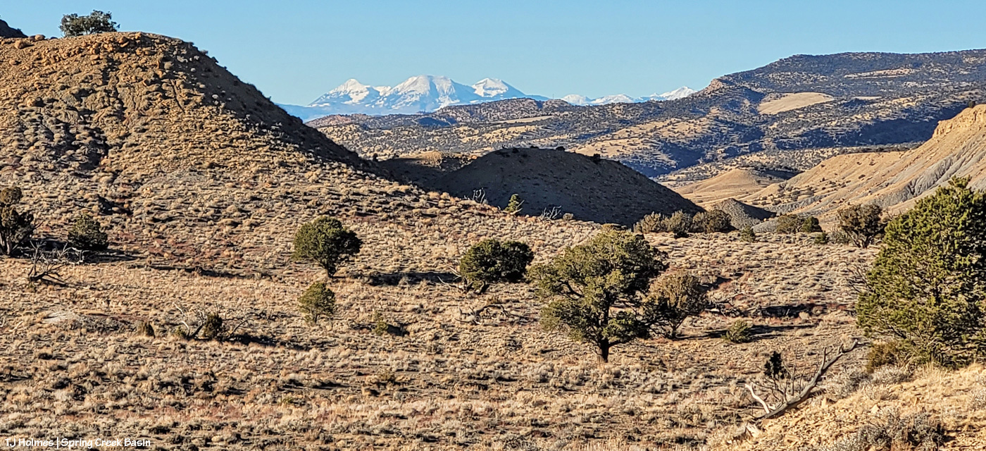
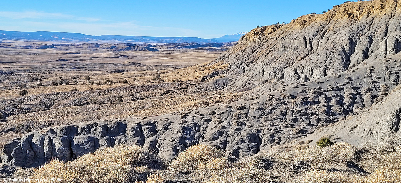
I’m up on the ridge that leads to the horses’ location farther down at the fingertip end of it. That big rise of grey Mancos shale and orangier (!) sandstone is Knife Edge. The southern peaks of the mountains are just visible way, way out against the turquoise sky. Spring Creek canyon is visible at far left. That’s the basin’s western boundary; the farthest treed ridges are the southern/southwestern boundary of Disappointment Valley above the Dolores River and its canyons.

Looking left-ish from the above pic, that’s Spring Creek cutting through Spring Creek Basin in the middle ground. What I call the “weeping wall” is down there, and it provides a pretty constant source of trickling water for the mustangs. At far upper right is the eastern end of Filly Peak in the basin’s western region, and straight out is Flat Top. Round Top is barely visible at left. In about the middle ground – shadowed on its northeastish length – is the ridge I call rollercoaster (though it doesn’t look very rollercoastery from this perspective). … And see the glimmer just above/beyond it? That’s the rollercoaster ridge pond, still decently full of water (semi-frozen, depending on conditions). That’s the pond from the “Reflections” post recently. … And what do McKenna Peak and Temple Butte look like from THIS perspective?

I’m so glad you wondered! 🙂 From a little right of left: Temple Butte, McKenna Peak, what I call submarine ridge (you can see the two “arm” ridges of the actual feature from here) and Brumley Point, on Spring Creek Basin’s southeastern boundary. The Glade is in the far distance, touching the sky. A little closer – middle ground – is Spring Creek and part of the basin’s loop road (rough, and I would not recommend driving a vehicle on this section). The ridge down to the horses starts to the left and runs through the nearer middle of the pic. Sundance was actually partially visible (his back), but I don’t think he shows up very well in this pic.

This pic (left) and the next (right) were taken from the same vantage point, but when I tried to stitch them together into a bit of a panorama in Photoshop, it didn’t work out so well. So, using the ridge in front of me as your guide, you’ll have to use your imagination a bit as you scroll up and down to look left and right (!).

If you can find the ribbon of road, out there in sort of the middle, heading uphill (to the left from this perspective), is where I was when I looked up and horses appeared, much to my wondering eyes! (Magic isn’t just the domain of Santa, folks.) If I’d been going the other way around the loop, downhill, which is my usual direction and preference given some fairly challenging road issues (!), I don’t think I’d have seen them because I’d have had to look back over my shoulder and up. I try to look in that area because I’ve seen Sundance’s band in that relative vicinity before, but see the little “cove” down to the right in the second pic (the one right above)? That’s where a couple of the horses were when I first spotted them from below, and if I’d been in a different place, I wouldn’t – couldn’t – have seen them there from the road.

Another lesson: Perspective often is everything. 🙂

Pretty dry out there. The forecast is starting to show us some glimmers of hope for coming snow. We got kind of skunked over Christmas, but fingers and hooves are crossed that our winter will start picking up in this newest part of the new year.


Watchers

15 06 2023

Something a little different today inspired by a recent introduction.

Pictured are three bands in what I call the east pocket of Spring Creek Basin. It’s hard to get to because of the current condition of the road, but it has always been one of my favorite places in the basin, and this season, some of the horses seem to agree.

A few weeks ago, I got a message from Rick Freimuth, who is a firewatcher based at Benchmark Lookout in the San Juan National Forest. He shared with me a glorious sunset pic he had posted recently from the tower and said that just a little outside the frame of the photo was Disappointment Valley – and Spring Creek Basin. As it turned out, I had recently taken a pic in which I included the ridgeline on which the lookout tower stands, so I sent it to him in turn.

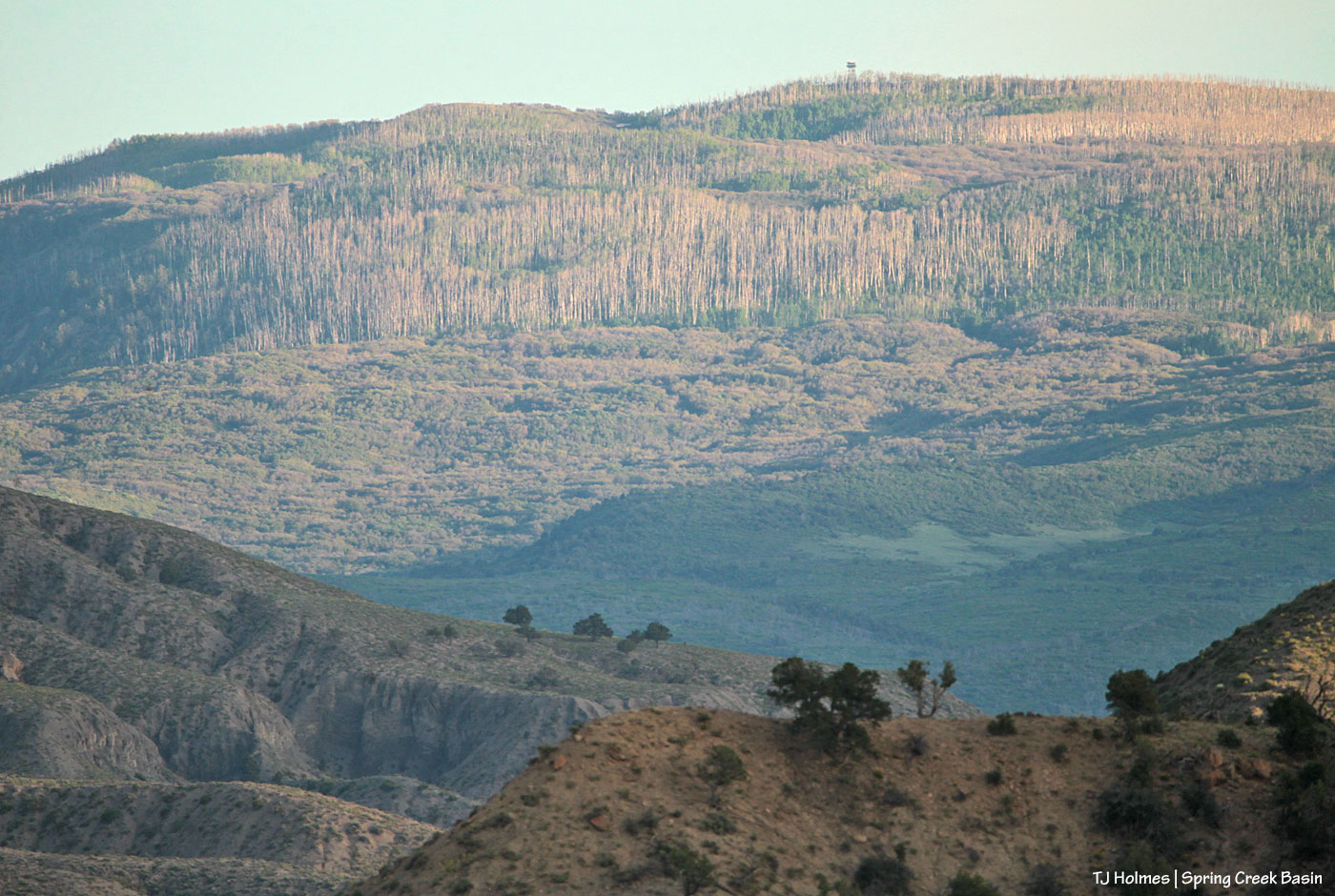
Later, I specifically took these pix, from the east pocket looking southward toward the Glade and Benchmark Lookout to share with Rick and his wife, Linda.

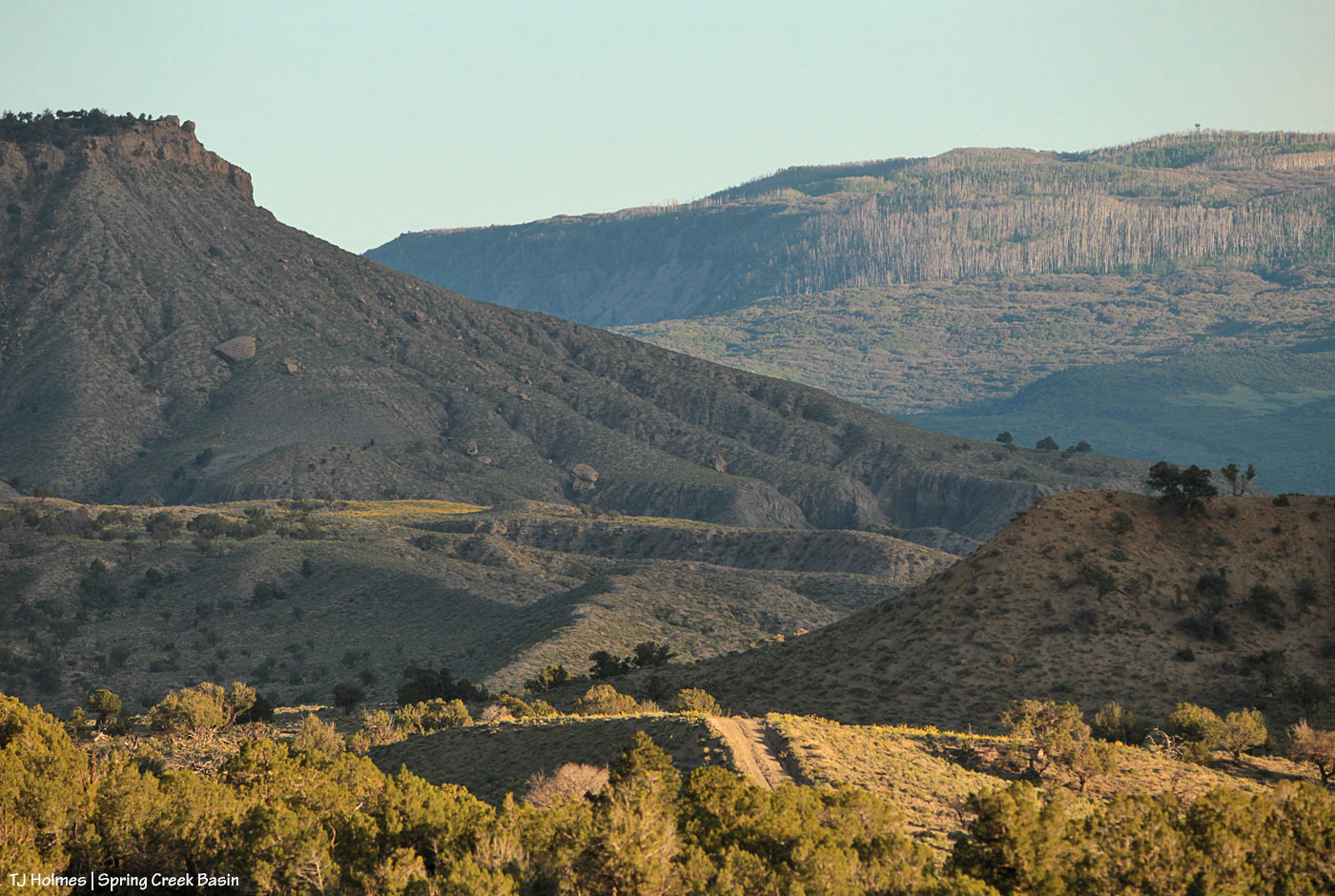
See the tower? Highest ridge at upper right.

Benchmark Lookout stands tall, amid aspen and ponderosa forests and looks out over VAST country – all over southwestern Colorado and into Utah.

Rick and Linda have an amazing job, and this 2020 Cortez Journal article highlights the work they do to assist firefighters in the region. If their tower home looks like a lightning magnet, apparently it is! … But the VIEWS!

Years (and years) ago, I went up to Benchmark Lookout to do a story for the Dolores Star. Rick and Linda know Barbara Zinn, who was the lookout then. Words such as “incredible,” “marvelous,” “astounding,” “outstanding,” “amazing,” “fabulous,” “fantastic” … fall far short of the actual wonder of the view. From Spring Creek Basin, I often point out to visitors the tower standing guard over our cherished, local public lands.

Kudos to Rick and Linda and all the other firewatchers and protectors of Colorado’s (and America’s) public lands!