One more year till 20/25

19 09 2026

Next year, this date – Sept. 19 – will mark 20 years since I started documenting Spring Creek Basin’s mustangs.

TWENTY. YEARS.

Sometime next fall (I don’t remember that exact date now), I’ll mark *25* years since the first time I visited Spring Creek Basin – in the rain, in a van full of people I didn’t know, and we didn’t see horses because we never actually got *into* the basin (even if it had been dry, a van might not have been the best choice of vehicle?!). I went back soon after that by myself … and, well, now it’s been 24 years *this* fall. You know that saying “blood, sweat and tears”? Yeah … it’s been ALL of that … a whole lotta alla that.

That means this fall marks my 19th (today) and 24th anniversaries. I still find that pretty shocking to say out loud.

Two thousand seven was a roundup year in Spring Creek Basin. It was the third that decade (and we still had 2011 to come). BLM said the stallion known to most as Traveler (to me as Grey) would stay. They promised. … One guy broke that promise. … One guy made it right. Grey went to Cañon City, and about a week after he had been removed, we brought him back to Southwest Colorado, where his two-week quarantine turned into three weeks (courtesy of the promise-breaker). Four weeks after he left Spring Creek Basin, David and Pati Temple returned Grey/Traveler to the basin, Pati opened the trailer door, and he returned to his wild life, where he lived until his passing a few years ago.
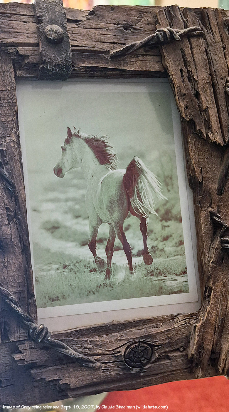
Photo print of Grey by Claude Steelman moments after he was released Sept. 19, 2007, into Spring Creek Basin

“He’ll never have a band again,” the BLM promise-breaker said dismissively at the time. Within a month and a half, Grey had a band again.

Grey’s Return Day was Sept. 19, 2007. After the pomp of Grey’s momentous release (a couple of other people also were there, including renowned Durango-based wildlife photographer Claude Steelman), I stayed in the basin to start documenting every mustang I found. It took three months of weekends. Nineteen wild and crazy – and now, immensely satisfying – years ago.
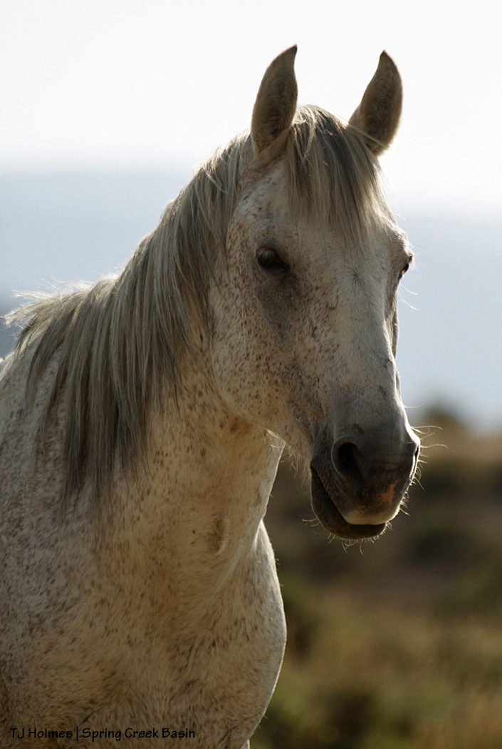
Grey, toward the end of his life; we thought he was close to 30

So today, I celebrate both the anniversary of Grey’s return and release and the day I started documenting my beloved mustangs, what has become the path of my heart through this lifetime.
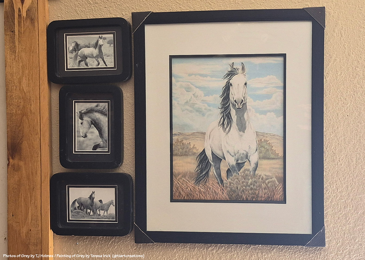
My *wall of Grey*; photos of Grey by me circa 2003-2004? Gorgeous painting of Grey by talented Colorado artist Teresa Irick (@tiartcreations on Instagram) based on a photo by me

When I first started this mustang-advocacy journey, 20 years into the future felt like some random date that would never arrive. Now, wow.

I want to do something kinda fun to mark the occasion next year, and this is a head’s up. A few of you have read and commented and shared the mustangs for a lot of years now, and I’d like to send you each a photo print of the mustangs. I probably haven’t taken it yet, but I have a year (!), and I’ll let you choose. You might know who you are. 🙂 I thought I’d also ask readers – on that date, and don’t worry, I’ll remind ya’ll ahead of time – to leave a comment on that post, and I’ll put all your names in a hat and mix ’em all up, and I’ll have a mustang friend pick a name and send that person a pic, too. I want to celebrate YOU who support and love these mustangs, too! There also are a handful of people who have been with me for long years on this mustang journey, and I want to recognize them, too (more about them next year).
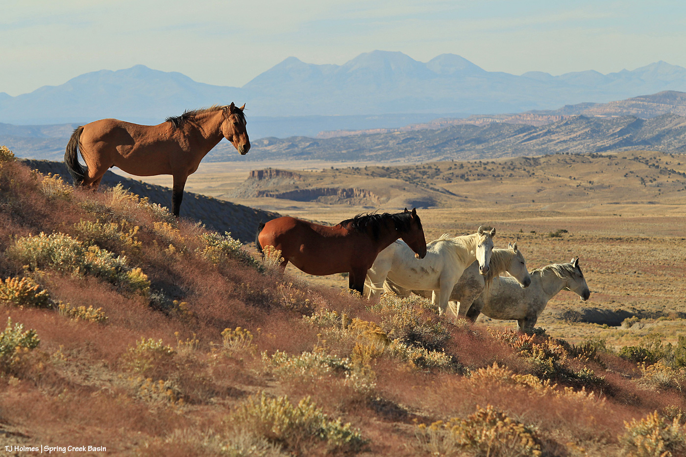
Hollywood and his mares, 2019; Hollywood and Houdini are both gone now … Shane, Alegre and Maia are still together

When you’re starting a thing, you never know where that thing is going to go, how it’s going to go, how long it’ll go on. When you have a burning desire to do something strong, something worthwhile, again, you just never know. That’s the future. … That’s LIFE.

So many people have had a hand (even just some fingers) in the accomplishments realized for bettering the management and preservation of Spring Creek Basin’s mustangs, and I can’t even imagine (and I don’t wanna) what path my life would have followed if I hadn’t discovered this herd and all the amazing people I’ve met along the way. We’ve all shared something: love of horses. Love of WILD horses. Love of mustangs.

Remember that promise-breaker? I realized several years ago that I’m *grateful* to him. I definitely couldn’t see it at the time of what felt like deep betrayal by the system, but if not for that guy, would my Irish stubbornness have come to the fore and would I have dug my boots and heart so deep into ground I’d never known but has become my rooted ground?? As I said: *grateful*.
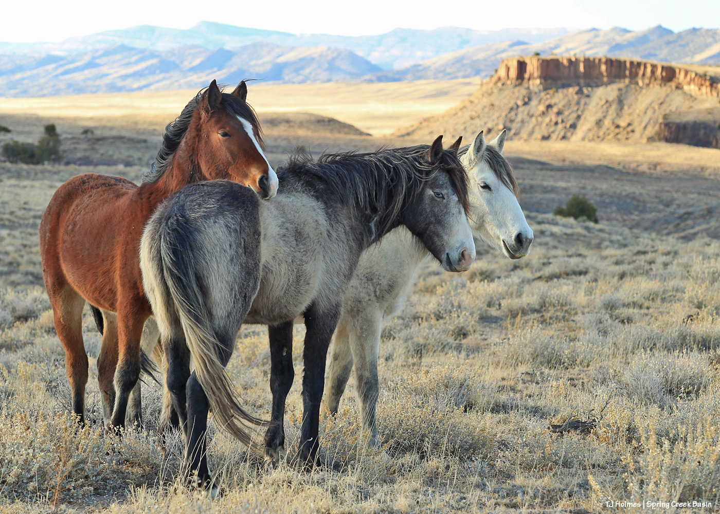
Winona with sons Cheveyo and Lyra; Lyra is gone now, and Cheveyo is a band stallion; Winona, of course, is one of our wise ones

And you know what? Holy … horse. 🙂 Spring Creek Basin Herd Management Area today is one of the best managed herds in the country (if not the best? forgive me a tiny bit of bias, please, but I don’t know of any others quite like ours). I am so grateful to the BLM folks at Tres Rios Field Office who made that happen and continue to work with our shared goal in mind.

Because we shared a dream and a goal and got to work doing it, not sitting by waiting for someone else to come along and dig in and get ‘er done. I sure didn’t start that dream for Spring Creek Basin, but I tip my visor to those who did … those who welcomed me to the fold so I could join the journey to the goal. And in that time, we have gotten done EVERYTHING we’ve aimed to achieve … bar one that we haven’t gone full force on, and that’s in the hands of bureaucrats, really, which is unfortunate, but it’s still possible.
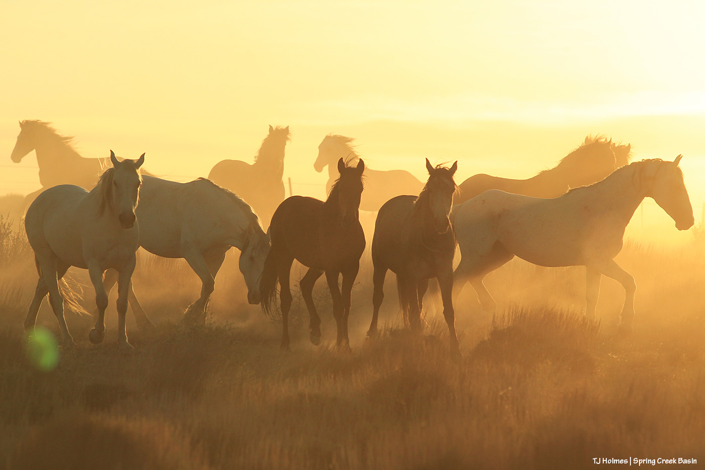
Comanche’s band in the dust of early summer, 2020

I’ll probably (of course I will) write another long-winded post about this on my actual 20th anniversary, but on this, my 19th, *thank you* to every single person who has given even the tiniest bit of love to Spring Creek Basin’s mustangs. My love and gratitude to each one of you.

And hang on for (at least!) another year, with the mustangs and me, to celebrate the big 2-0. 🙂 No worries: The 20th won’t be anywhere close to the end. To paraphrase something I heard someone say someone told him: I will continue to make as positive an impact as I can in all the time I’m given in and for Spring Creek Basin and its mustangs.

I’m so glad you’re here, with us.

*Grateful*
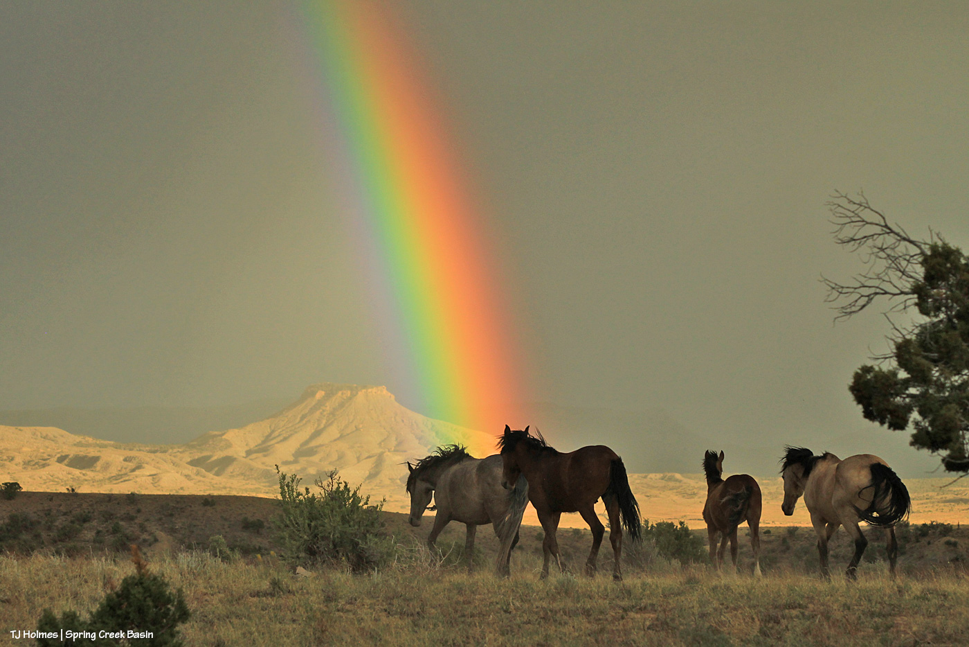
Comanche’s band, under the rainbow, 2020; Comanche also is gone now


9/11

11 09 2026

Never forget.

We are better united.


Spring to snow

4 04 2026

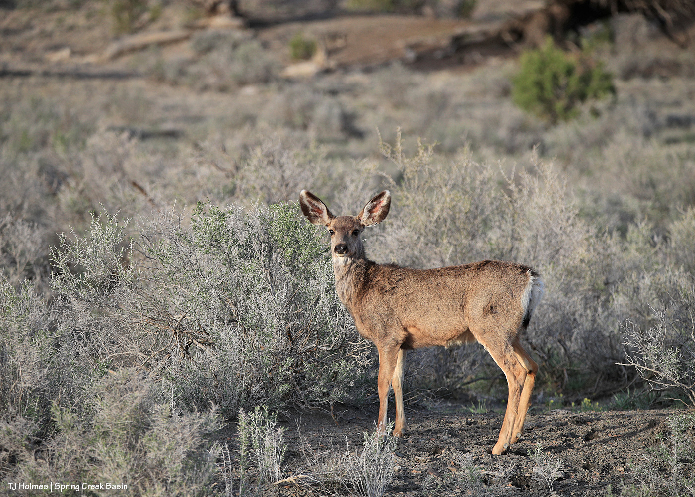
Wait, that’s not a mustang, I hear you thinking. 🙂 Correct! That’s a young mule deer, and s/he starts the journey of this particular blog post (which doesn’t include a mustang in sight). S/he was, in fact, inside Spring Creek Basin Herd Management Area, and I was on the road.

But let’s back up a moment.

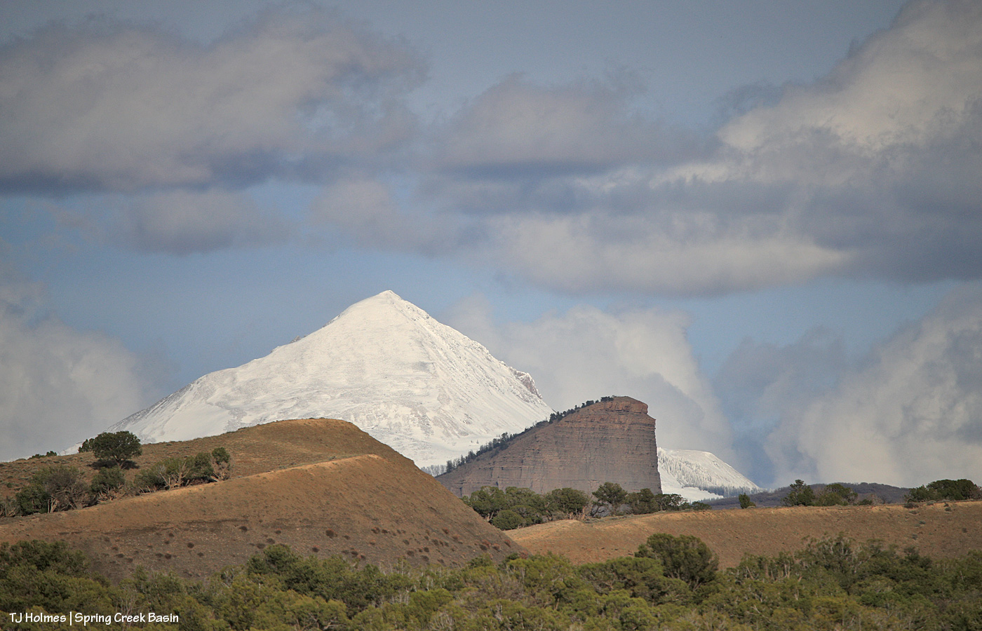
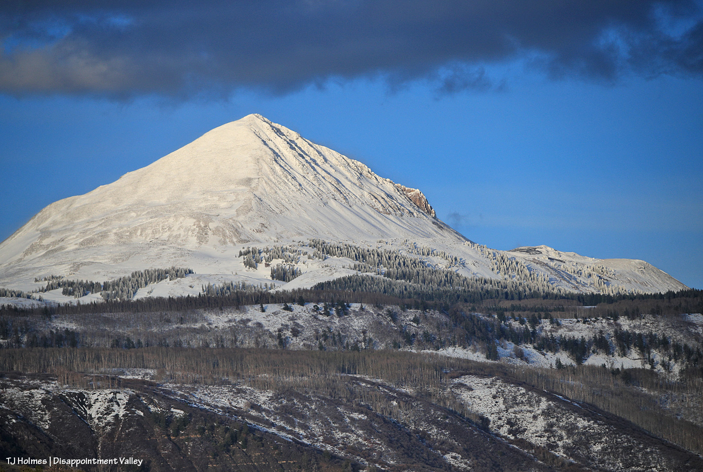
This is where my short trip up-Disappointment-Valley actually started: Seeing snow completely covering nearby Lone Cone from just within the southern part of Spring Creek Basin (not quite as far south/southeast as the mule deer). Except for the very southern area, Lone Cone isn’t visible from most of the basin. (And that promontory in the distance isn’t Temple Butte, which is closer and to my left out of frame.)

Much, most – all?? – of the region got blissful, sweet, rejuvenating rain (at least) on Wednesday. Obviously, higher elevations got some welcome snow. I write a lot about how dry it is in Disappointment Valley and, specifically, Spring Creek Basin. I’ve been writing a lot this “winter” about how dry it has been this past non-winter. It gives me no pleasure and a lot of terror to note that folks are now calling this the “worst [winter] on record,” according to The Colorado Sun. How bad is it?

“It’s now safe to conclude that this has been the worst year for Colorado snowpack in recorded history,” [Colorado Climate Center’s Russ] Schumacher wrote in his blog Thursday. (Note: Find his blog here.)

So consider this post part education, part joy at seeing Lone Cone covered in snow (at least for a little while). The words or phrases in blue (and possibly underlined) indicate links to outside sources. It’s going to be a little bit of a long post, too (sorry to bury the lede!), so grab your brew of choice and come along with me – and also, I should tell you now that this spans back-to-back days, an evening (Thursday) and the following morning (Friday). You’ll see why as we follow the snow. 🙂

I love Temple Butte. I loved Pati Temple, for whom the butte is named. Previously and for several years, I called it the unnamed promontory, and because it was unnamed, officially, we were able to apply to the U.S. Geological Survey, five years after her passing, to start the process to honor Pati and her dedicated devotion to Spring Creek Basin’s mustangs. Huge thanks to Kat Wilder for coming up with “Temple Butte” as a name, and especially ginormous thanks to Ann Bond (retired from the U.S. Forest Service) for diving deep into the computer work to get that done – undying gratitude! Now it is *officially* Temple Butte, though it’s hard to find maps yet with it marked as such. Our new kiosk at the main western entrance to Spring Creek Basin has a map that shows it (thanks, BLM!!), but when I did a Google search, although I came up with other Temple Butte(s) (!), I found only this reference to ours. It’s a super cool sort of AI rendition of looking at the region as though you’re on top of the butte. Move the view around, and you can see numerous named points of view, including McKenna Peak and Brumley Point. I’ve never been atop either Temple Butte or McKenna Peak, or Brumley Point, though I’ve been way up its sides, but I imagine you can’t help but have noticed that Temple Butte and McKenna Peak (at least) favor heavily in a lot of my images of Spring Creek Basin’s mustangs from all over the basin. 😉

I continued driving up-valley. …

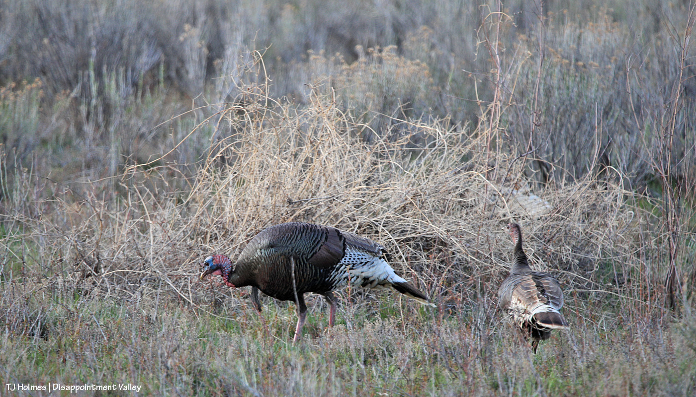
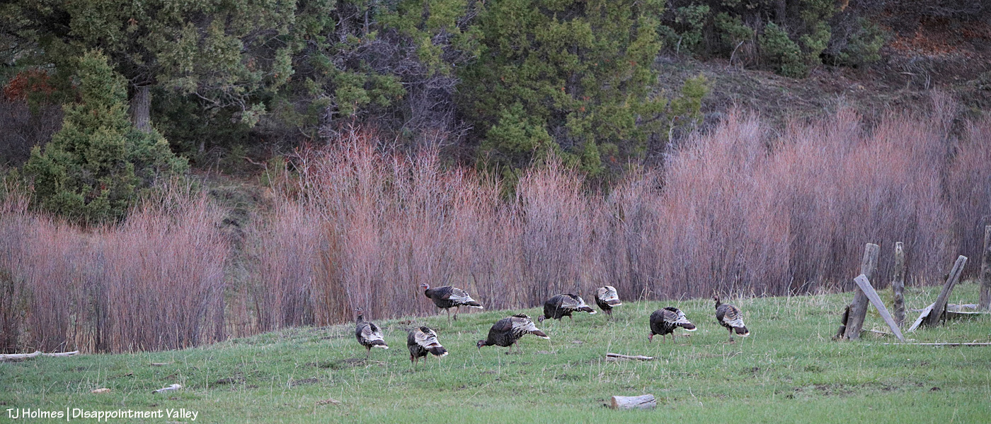
I was so surprised to see this flock of turkeys that I almost didn’t realize at first what I was seeing!

Question: Why are turkeys SO hard to photograph?? Even when I’ve seen them close, my pix of them are almost always blurry. You’d think that with a bird THAT huge, they’d be a cinch. … Yeah, but those tiny heads are, well, tiny! I do love that you can see the color in this tom’s head and some of the greenish iridescence of his gorgeous feathers. There might have been eight to 12 birds in this flock?

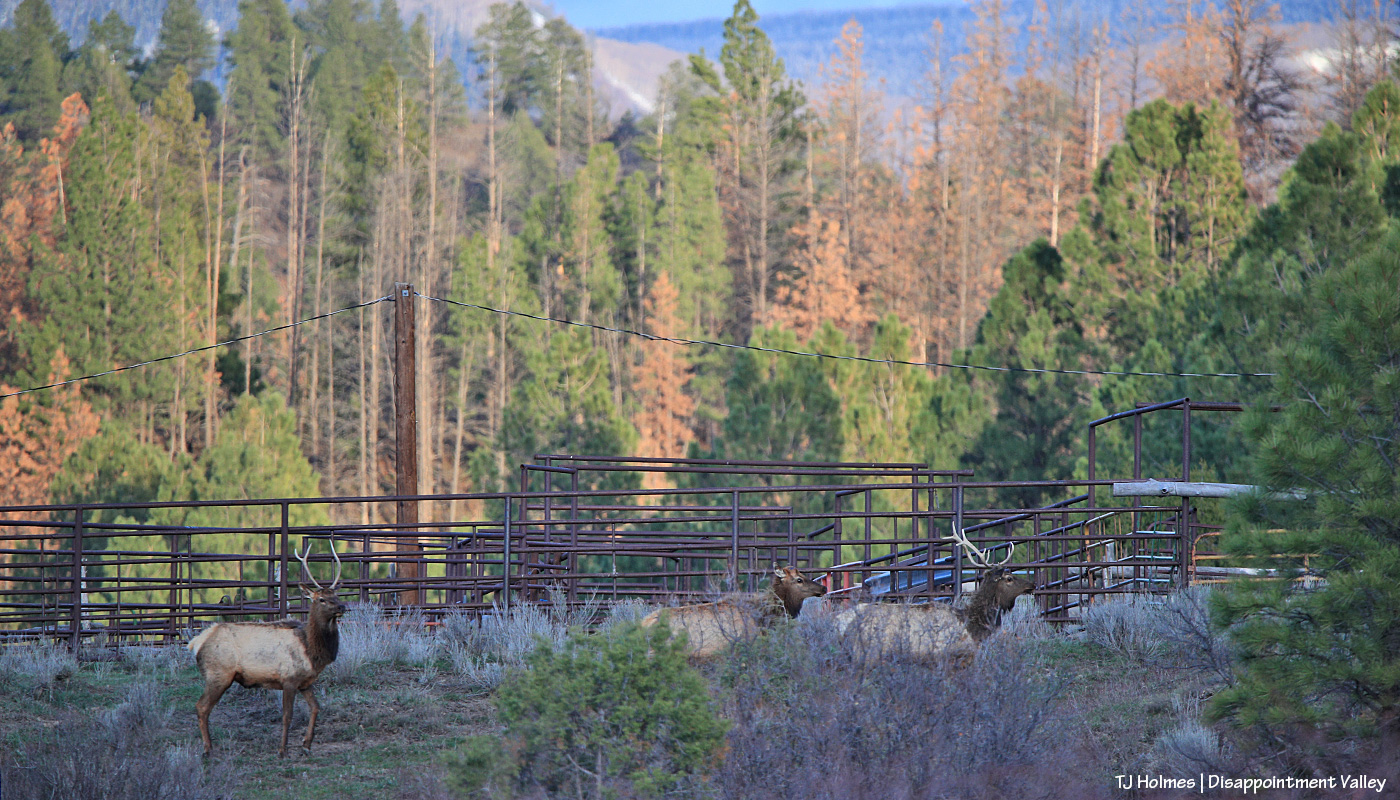
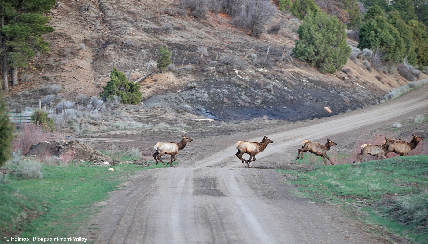
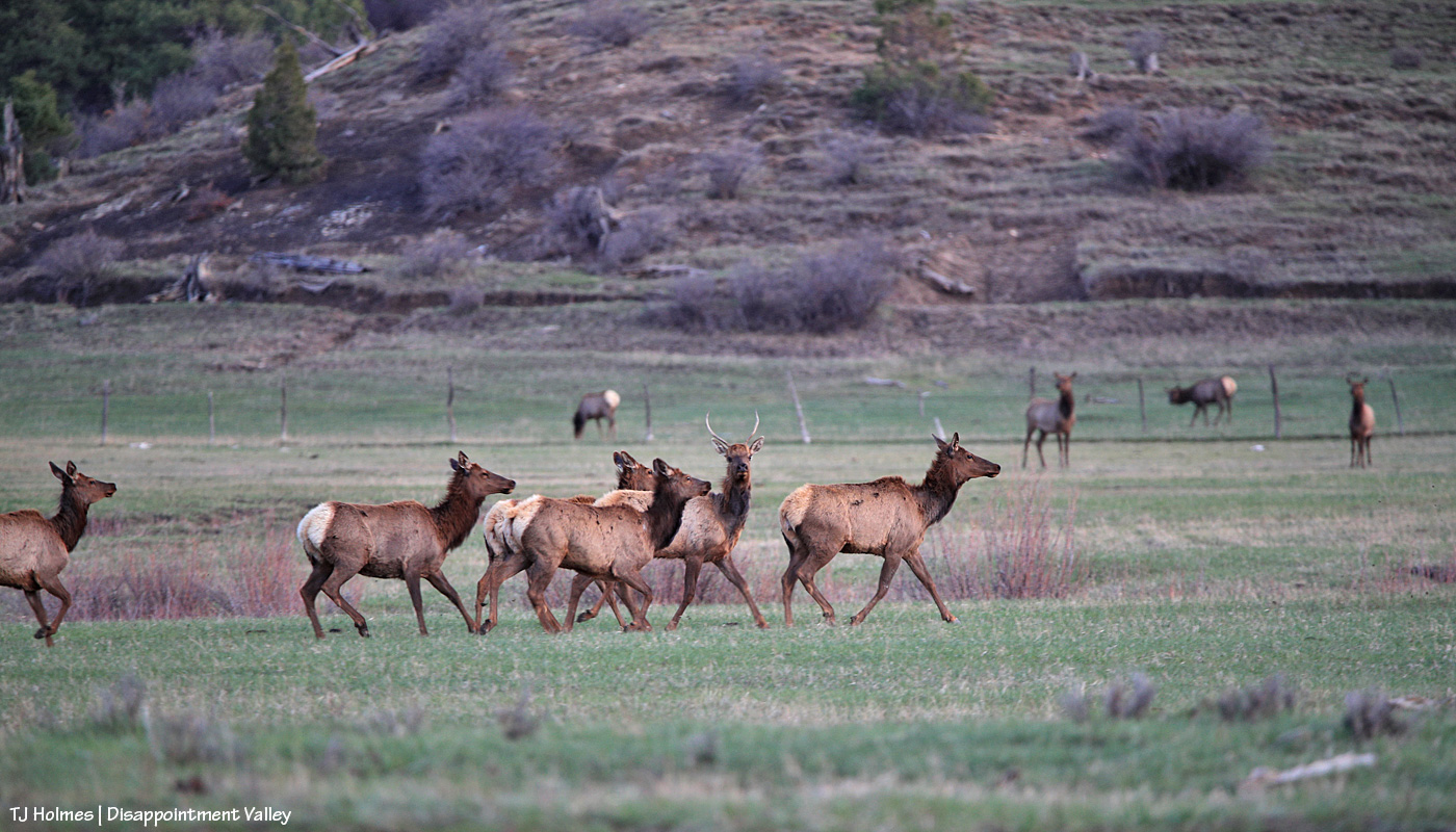
Not much farther, I stopped in the middle of the road and shot over the hood to try to catch these two young bull elk and a cow as they raced across the road and into the trees near some cattle pens belonging to up-valley neighbors. Note the “orange” pines in the background. Not even in Southwest Colorado are we escaping the deaths of ponderosas (and other conifers) across Colorado and the West because of drought and insects.

According to the Colorado State Forest Service, there were more than 800 million standing dead trees as of this report from 2017: “Colorado’s decades-long mountain pine beetle epidemic resulted in almost 3.4 million acres with some degree of tree mortality; an ongoing spruce beetle epidemic has thus far resulted in 1.7 million impacted acres.”

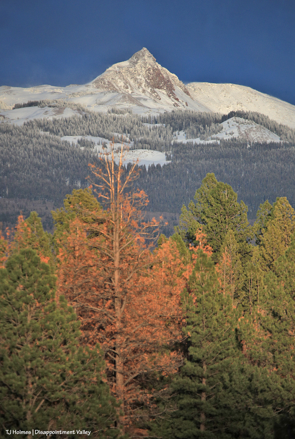
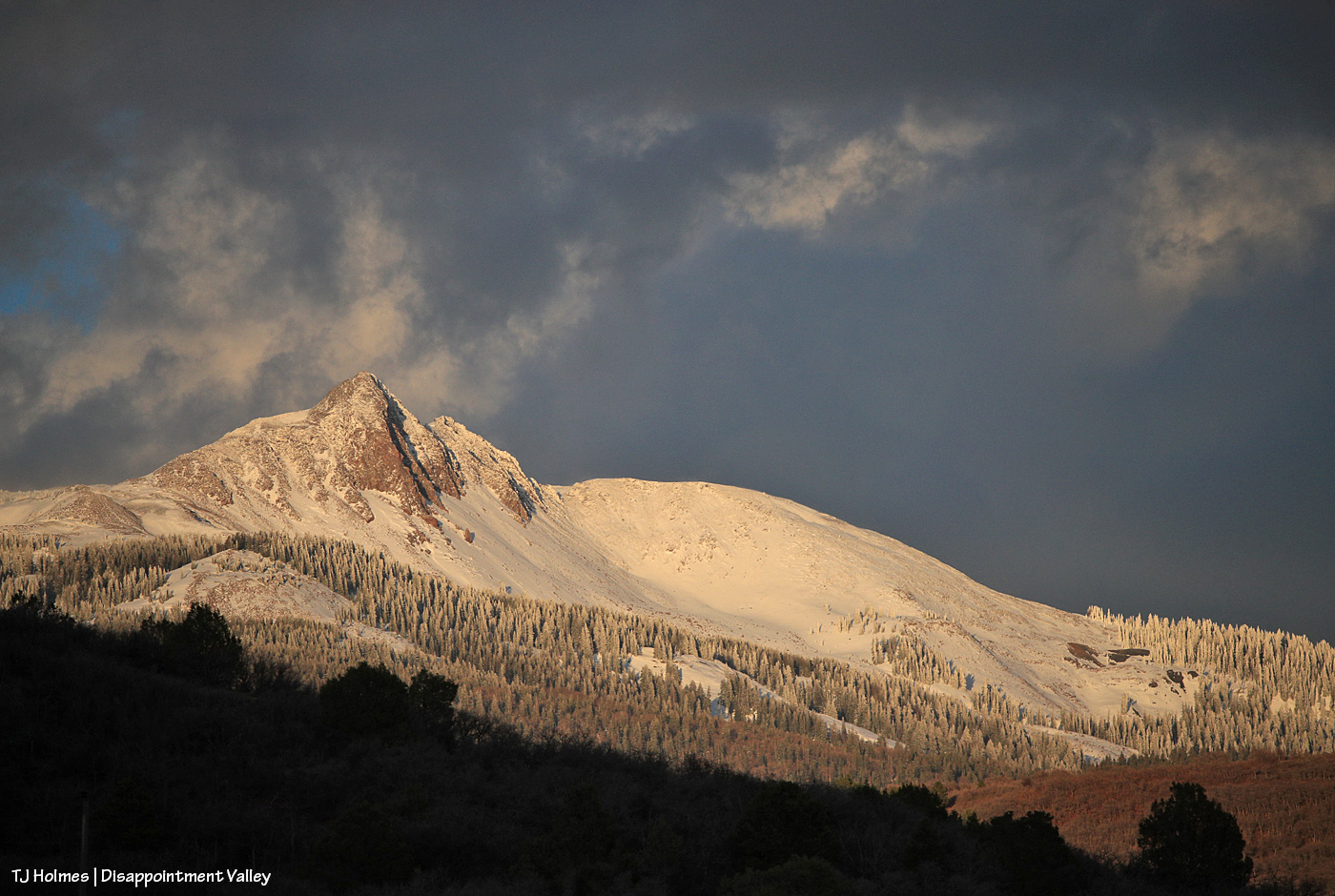
Thankfully, there also are many live ponderosas. At this point, way up-valley, I was starting to get amazing views of Groundhog Mountain. “Groundhog” in this neck of the woods generally refers more to Groundhog Reservoir, where there’s a store and rental cabins and a tiny community of summer cabins. From this view of Groundhog Mountain, those are over yonder on the other side. In the view above – and also of Lone Cone – I was fascinated to see that the trees on the lower shoulders of both mountains were still cloaked in snow. And if you look closely at the above image, you can see that crazy ol’ wind blowing snow from the peak.

Looks pretty wintry, eh? But I think you can tell, even from this distance, that the snow layer is thin. The lower stands of trees are aspen, which are only just beginning to bud and leaf out (depending on elevation; I did see a couple of small pockets of aspen wearing their brand-new bright-green spring leaves).

Traffic jam! Disappointment-Valley-style. 🙂 Look at that GREEN. GRASS!

The elk didn’t cross the road to get to the green grass (there was plenty where they’d crossed from) but because the other side of the road features wide-open meadows and more of their friends and family. Almost all I saw in this crowd were cows and youngsters with some young bulls still hanging onto associations with mamas and aunties. There weren’t a huge number of them … fewer than 75, I’d guess.

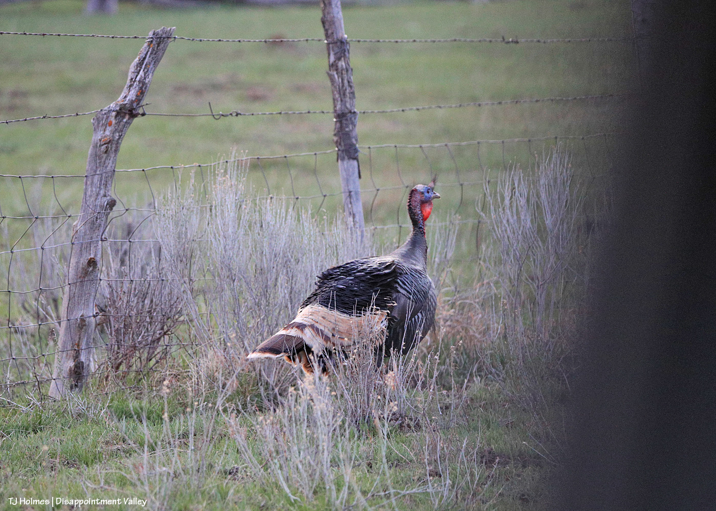
What a contrast, right? The “ugly” head – but those colors! love! – with the absolutely gorgeous feathers. (The darkness at right is the back of my back truck window.) They’re also hard to photograph because they’re faster than you think they should be. This poor guy and another one were “stuck” on the road side of the fence …

… but they very quickly flapped and flew those big bodies over the fence to rejoin their flock. (I can’t get over how green it is up-valley. This is just several miles above the south end of Spring Creek Basin.)

The sun was quickly nearing the western horizon when I took this and the next couple of pix. Great timing, especially with some stormy clouds still swirling above and beyond Groundhog Mountain.

That light! That snow. 🙂 (You can see how not very far down it isn’t there at all.)

It’s still winter somewhere. 🙂 For a little bit longer. Lone Cone snow provides the water that eventually flows down Disappointment Creek, so the more snow, the better. That water doesn’t benefit the mustangs in Spring Creek Basin, but it benefits numerous other species of wildlife from way up high all the way to the canyons of the Dolores River at the far lower end of Disappointment Valley.

Admit it, you didn’t think it could get better. 🙂 When I first was at the upper end of the valley, the clouds were giving Groundhog Mountain the dramatic, bold light and color. This was pretty immediately post-sunset, and the clouds had drifted over to light up the sky above Lone Cone (Groundhog Mountain is farther to the right from this perspective). Um, WOW.

Here we go: A cellphone pic from the “lookout curve” on the switchbacks that lead up and out of Disappointment Valley on the Dolores-Norwood Road (toward Dolores) shows Lone Cone at left and Groundhog Mountain at right at just about last light. I couldn’t have timed that better (the curve was my ultimate destination) if I’d tried (and I did!).

Then it was a down-valley drive as the light faded. Fortunately, though I watched hard, no kamikaze elk or turkeys (or even deer) shared the road with me. I missed full-moonrise this month because of the weather (if you think I’m complaining, please allow me to reiterate my eternal gratitude for the mostly daylong rainfall!!!), and although there were some colorful clouds, they were mostly drifting along the horizons by dark, so I thought maybe I’d get to see the night-after-full-moonrise from farther down-valley. …

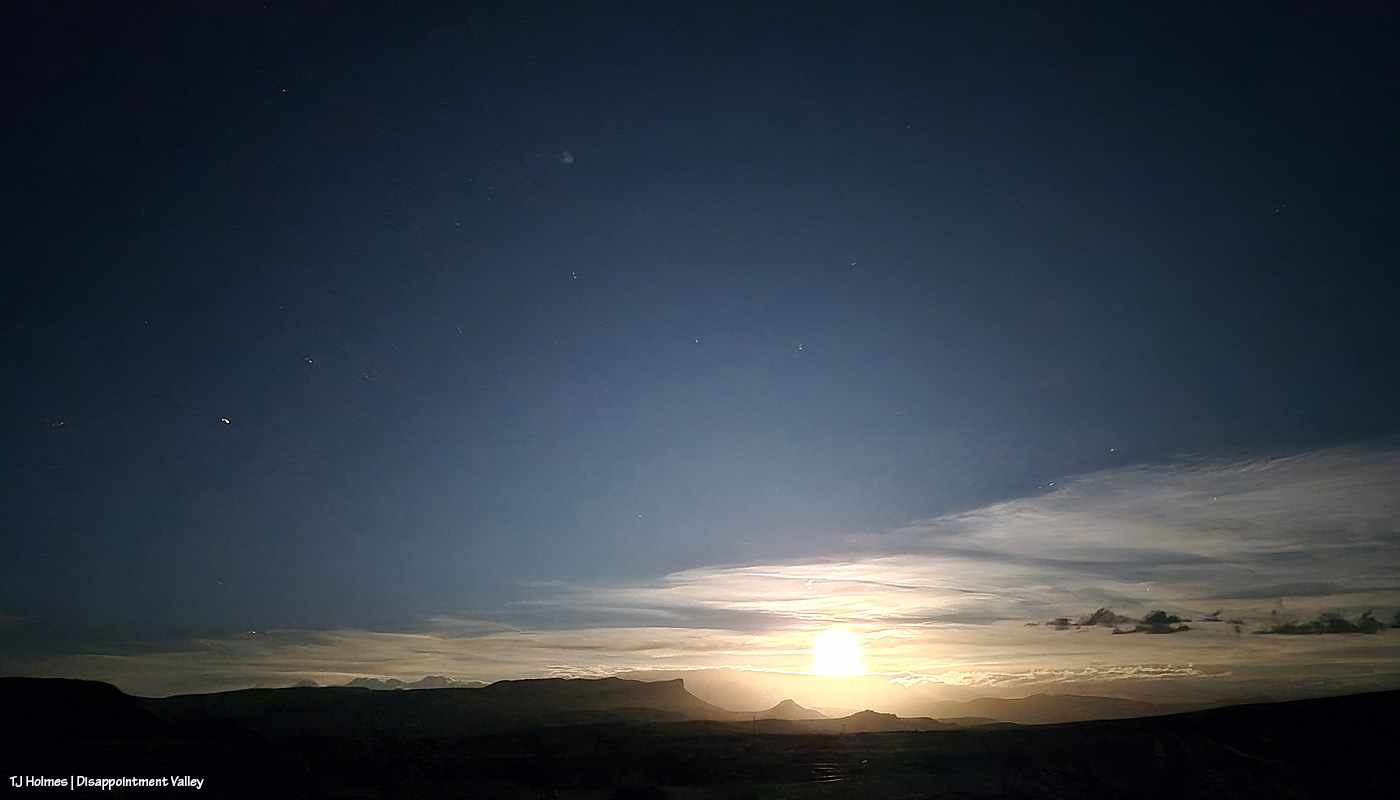
This is from my phone (!): Moonrise over Disappointment Valley. WoWoWoWoW!!!

It took a bit for the moon to clear the horizon clouds, but holy wow. You can clearly see Temple Butte and Brumley Point under the glow of the moon. While I’m sure the view of space FROM space (lookin’ at ya’ll, Artemis II astronauts!) is, ahem, otherworldly, I kinda think the above is pretty damn cool (and from my *phone*!). This might be my favorite image from the entire day/night.

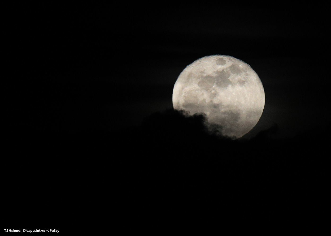
Because I couldn’t resist trying to capture it with my camera, too. 🙂 Those are clouds at lower left as the moon was rising out of the cloud bank.

What a day, right?! And that was literally just about the last three hours of it.

And then the next morning came. … My phone’s weather app’s radar showed spots of snow over Disappointment Valley. Oh, you liar, thought I (because it so usually does lie). … And then I went out into the world.

Well, knock me over with a feather! It DID snow … up-valley, not mid- or lower valley (nor did it rain). In the foreground are very newly leafed-out cottonwoods along Disappointment Creek, and in the midground are part of the rimrocks that form the southwestern boundary of Spring Creek Basin. In the background, starting at far right: Flat Top, Round Top and submarine ridge; smack dab in the middle, McKenna Peak; and towering o’er all, Temple Butte.

And from up-valley:

What I call submarine ridge at far left … and McKenna Peak just right of dead center. The very top/back ridge, if you follow it right, ends in Temple Butte.

Voila!

That snow will soak in; it’s not enough to produce runoff. And it was windy again, which further contributes to drying.

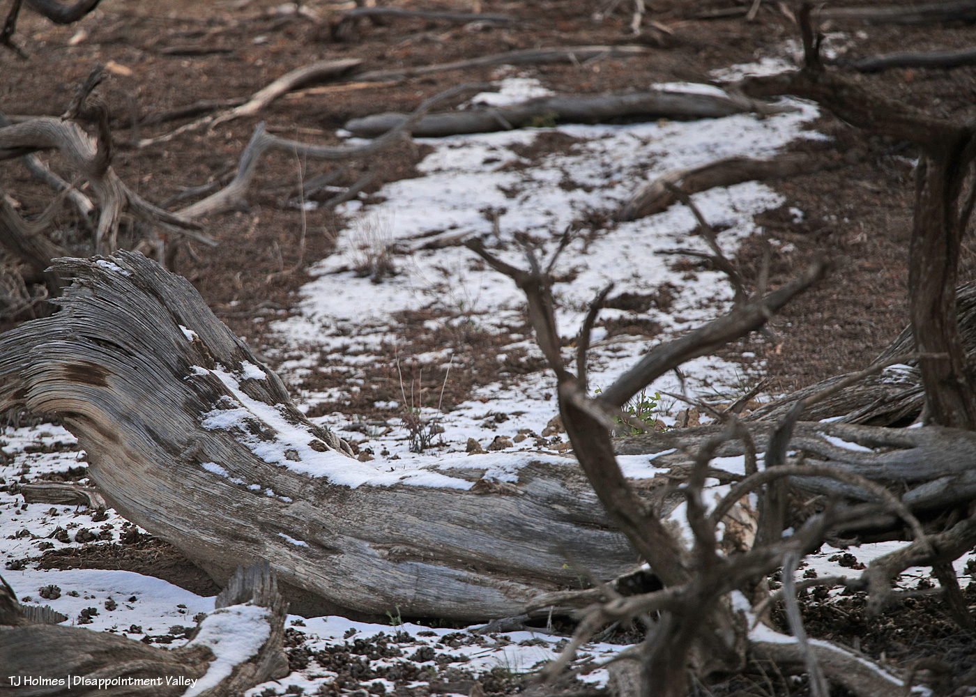
The tiniest bit of a tiny dusting still lingered in shady places under trees (this was just inside the Spring Creek Basin boundary from up-valley along Disappointment Road). Evidence that it HAD, in fact, snowed in the area.

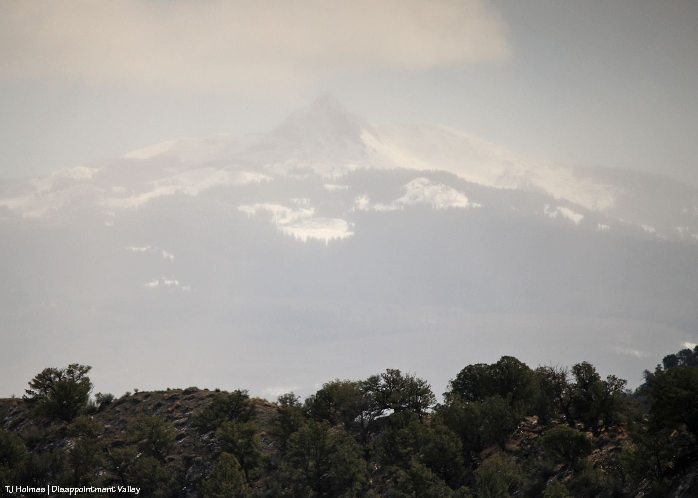
And one last view, of Groundhog Mountain, through a curtain of snow!

It’s a crazy world. 🙂

It’s a crazy BEAUTIFUL world! 🙂

Thanks for coming along. Hope you enjoyed our (temporary) retreat to winter. Snow or rain, we need any and/or all that Mother Nature wishes to bestow.


Time but a moment

9 05 2023

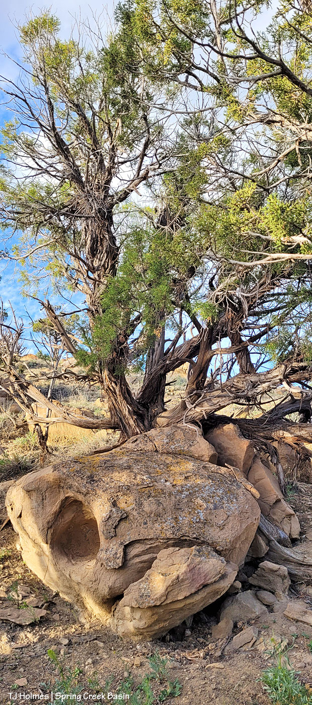
If you look closely, you can see a mustang grazing at upper left. If you look a bit closer, you might be able to see that this old juniper is growing out of a (crack in this) sandstone boulder.

This grandmother tree certainly made sure to send up many fingers through the available space(s).

This is the view from the other, downhill, side … and it’s the view that got me interested in walking up to investigate further. Bit of a grumpy-rock missing an eye, eh? And I looked, but no Excalibur did I find also buried within the stone.

Think of the seasons and years and heat and cold this tree and this stone have witnessed, together. And the stone likely thinks the tree is just a wee, youthful thing.

As a colorful bonus to this post …

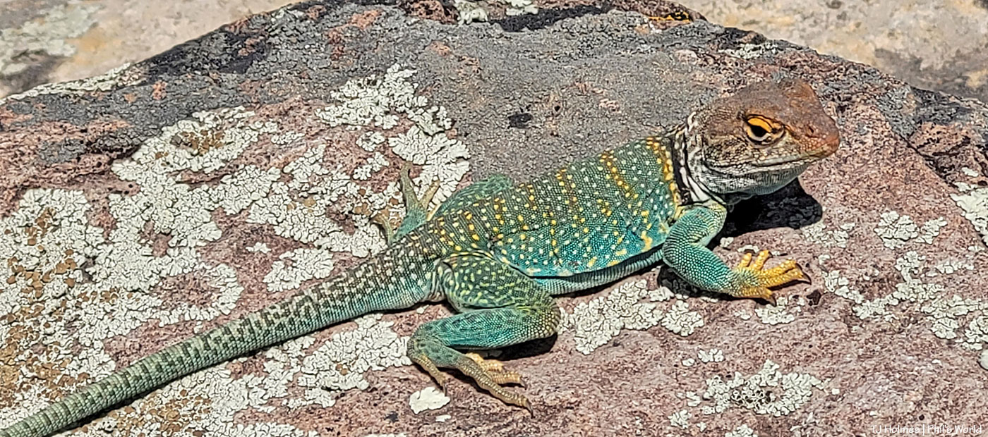
This uber-handsome fellow was not in Spring Creek Basin – or even in Disappointment Valley. He was a good bit farther south (still in Colorado) and stopped to catch the rays along a bike trail where I stopped to gasp and puff … err, catch my breath. I couldn’t believe he stayed still long enough for me to fish out my phone and snap his portrait, but he did, and I was happy as I love these beasties at least as much as I love our horned lizards! It won’t be long, and we’ll be seeing our own Disappointment Valley-native collared lizards.

**Update: I saw my first Disappointment Valley-native collared lizard just yesterday – also while riding my bike, as it turned out. It was MUCH too quick for my full admiration, but temps are warming, and soon they’ll be sunning and lazy.


Merry Christmas!

25 12 2022

Merry Christmas to you all, and may the light and joy and peace of the season be with you now and throughout the coming year.

From our herd to yours, may many wild blessings shine on you and your families!

******

Update:

This – THIS – was Christmas morning sunrise over Disappointment Valley! 🙂

Pretty glorious on the day of Christmas magic. Blessings to you all!


Giving thanks, early

5 10 2022

We have had a pretty amazing surge of rain this fall – contrary to the forecasts for a dryer-than-usual fall. Or maybe that was for Colorado in general, which doesn’t seem to remember sometimes that our southwestern corner IS, in fact, still within the Centennial State’s borders. (And although we’re still dry – we *are* high desert, after all – other parts of Colorado are in (much) more severe drought than we are now. The U.S. Drought Monitor has reduced us to “abnormally dry.”)

Lower Disappointment Valley (as the elevation changes – and it changes rather dramatically from upper to very lower – rainfall amounts vary wildly) has gotten at least 1.84 inches of rain just in October. … Are you paying attention? That’s just the last few days! To put that in perspective, we got just 2 inches of liquid moisture between last Dec. 1 and this April 1 (that’s liquid from snow). Wowza.

We’re kinda dancin’ a bit ’round here. 🙂

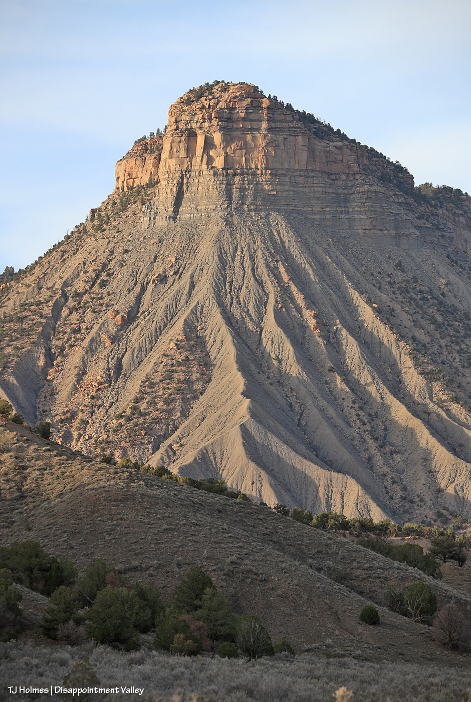
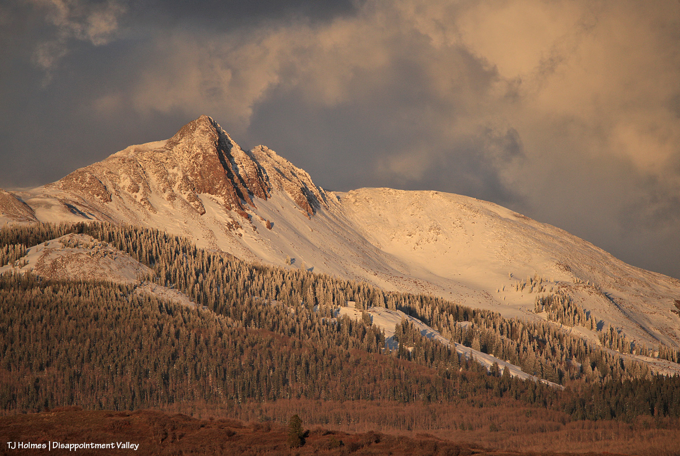
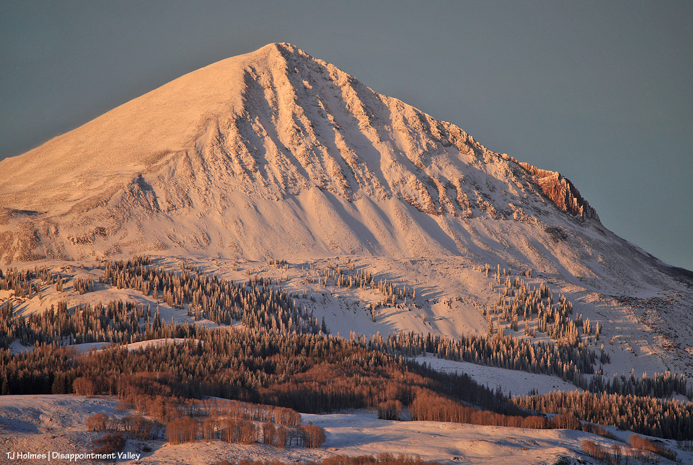
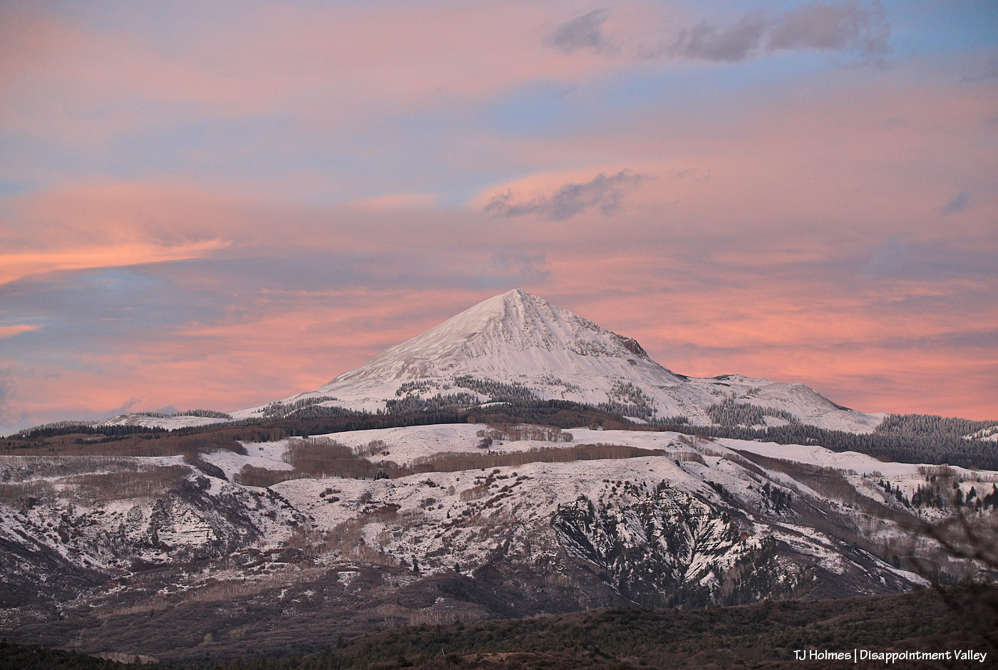
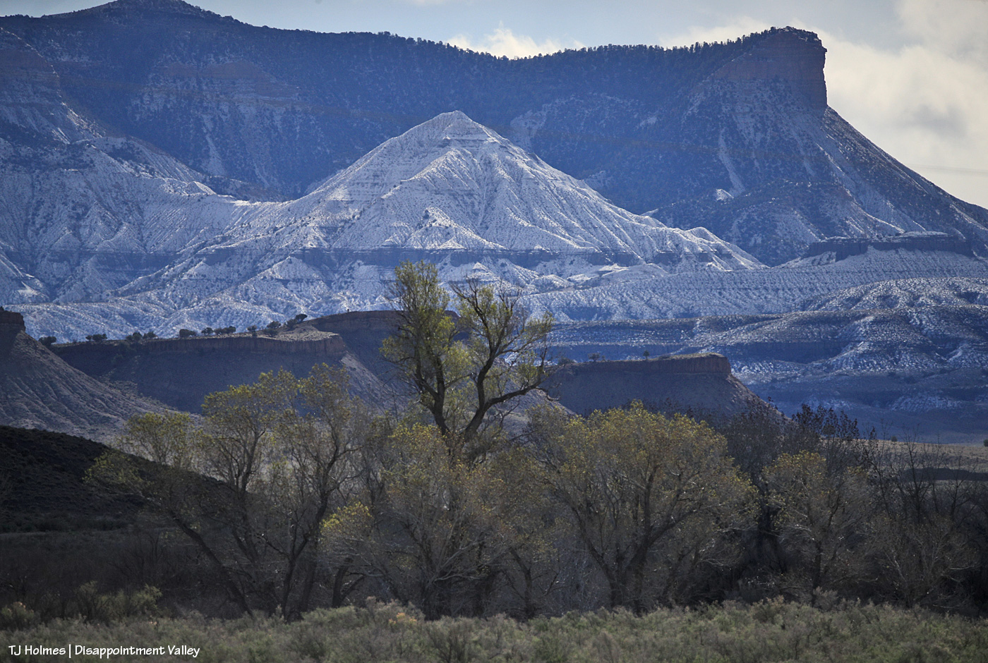
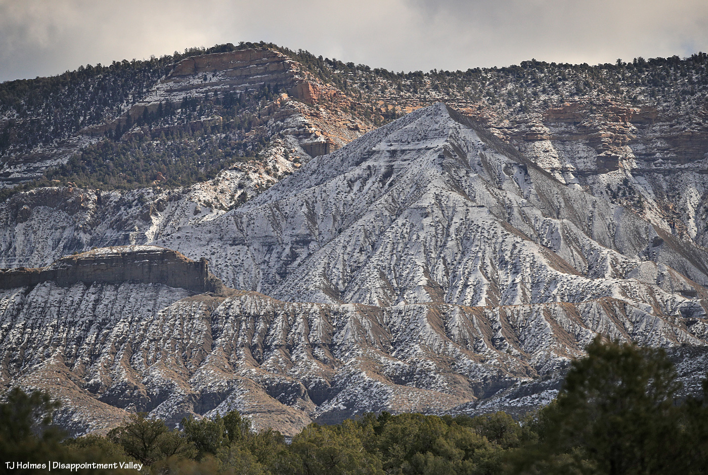
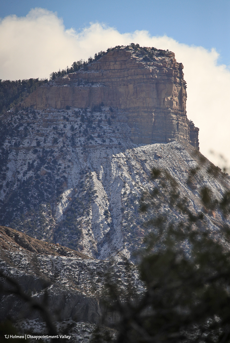
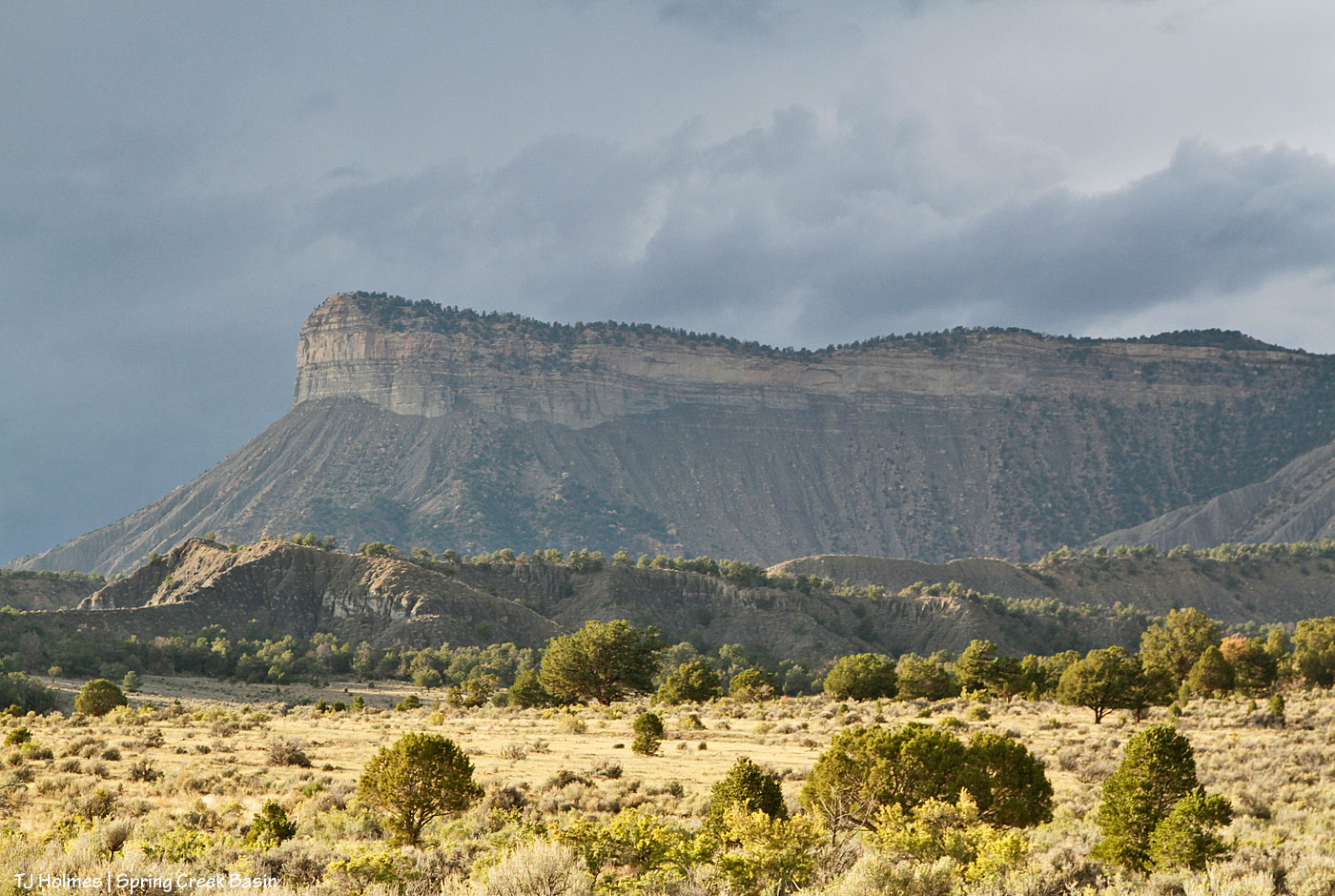
The pix in this post are of Temple Butte … different perspectives than normally seen from the interior of Spring Creek Basin. The top pic was taken from southeast of the southernmost basin boundary (Spring Creek Basin is basically on the *other* side of it from that perspective), and the one above was taken from below the last/southern/southeasternmost drainage in the basin – both from Disappointment Road.