Better late than never, and when I finally got my act together, I thought Valentine’s Day would be the best day for this rundown.
As usual, these are 12 (and a bonus) images from the last year that came from each month. This year, I think, most of these photos have been on the blog previously. A little reminiscence of the events surrounding each image will follow the photos. Sometimes it’s those emotions and memories that make a particular image special for the photographer, and these are no exception to that. Just being out with the mustangs, in Spring Creek Basin, no matter the weather, is the very best part of what is impossible to share.
Enjoy … and please consider this is my love letter to Spring Creek Basin and its mustangs from 2024. 🙂

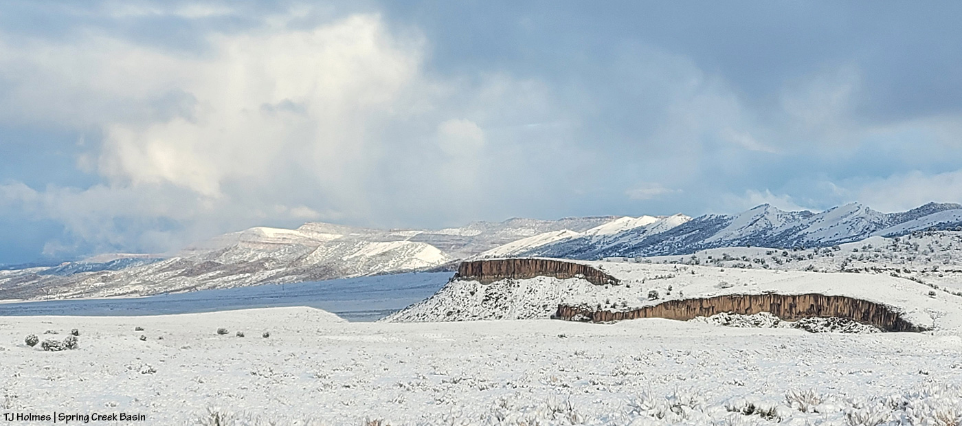
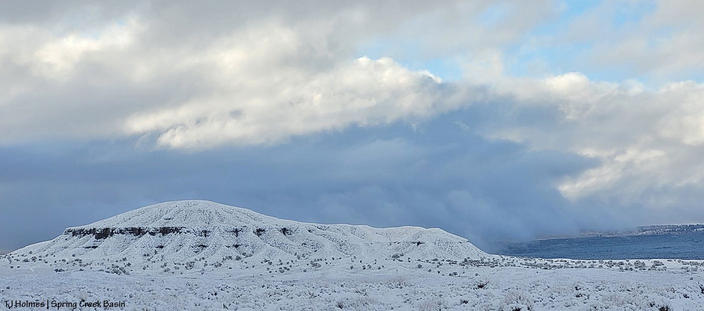
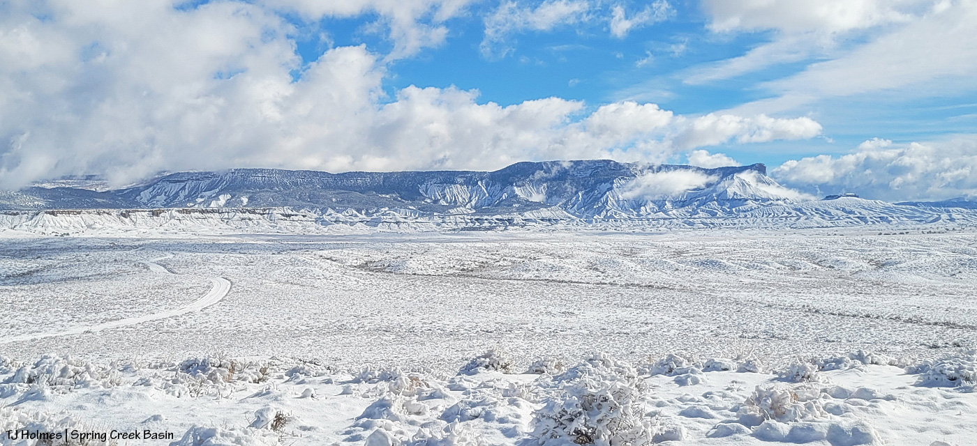
January last year was at least somewhat snowy (this year was very much NOT snowy). Skywalker had been a bachelor with a couple of bands until sometime last year, and here he is with some horses from one of those bands. Completing the composition is part of the Spring Creek canyon rimrocks in the near background and Utah’s La Sal Mountains in the far background. (I wish they were that snowy this year.)

This was a magical February visit with Mariah and her band. The low-angle sunshine made each snowflake a visible bit of earthly magic, and when she looked back at somebody – shazam. Magic captured.

Couldn’t pass up this snowy March day in the basin with Temple! Clearly, she had been enjoying the moisture and excuse to roll in the mud. I love the sunshine on her and the falling snow blurring the background.
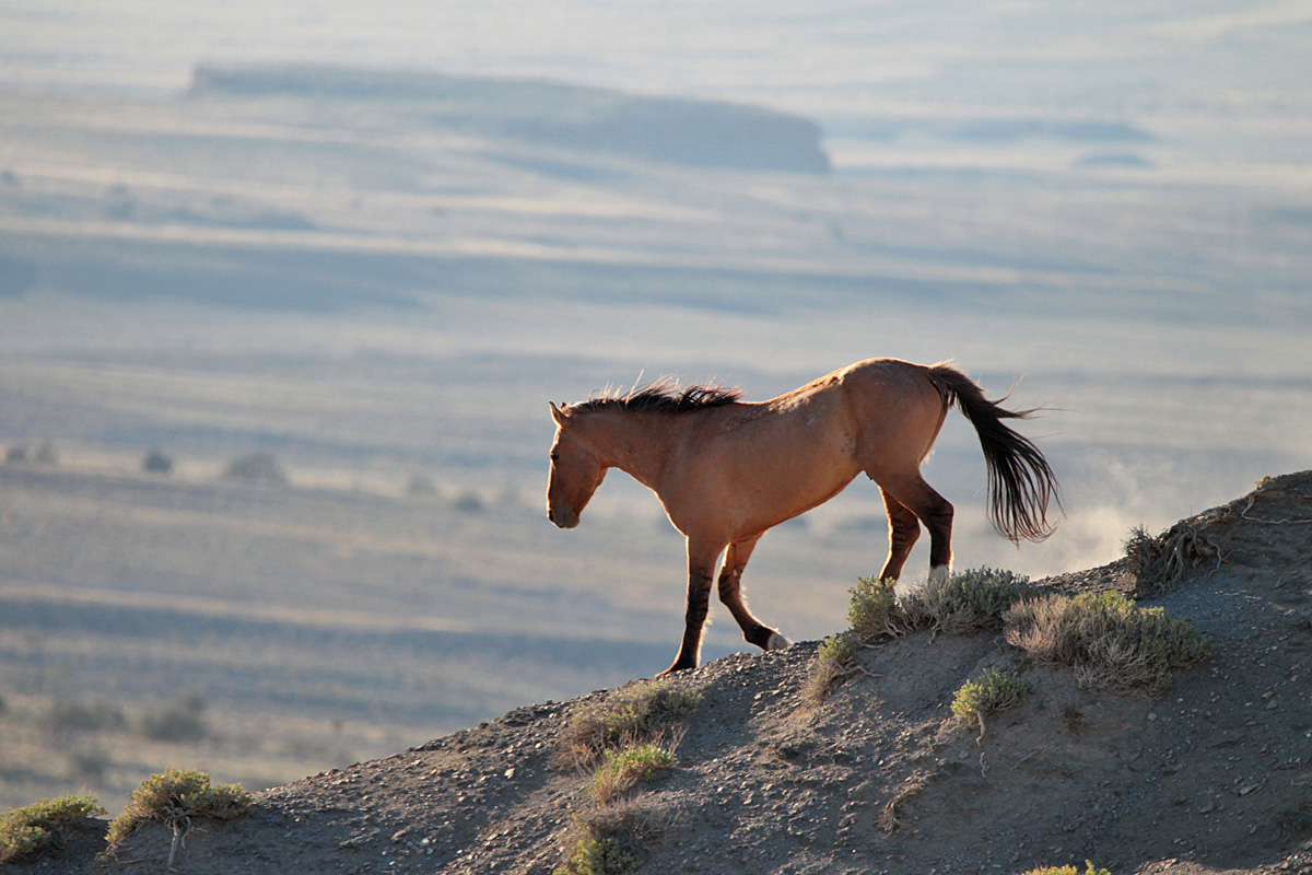
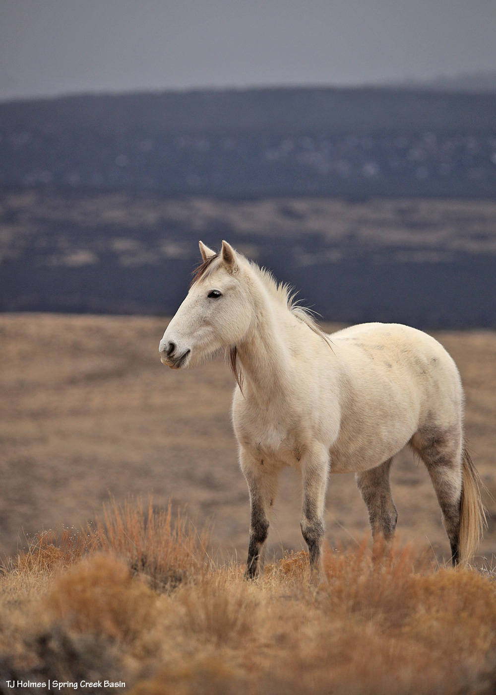
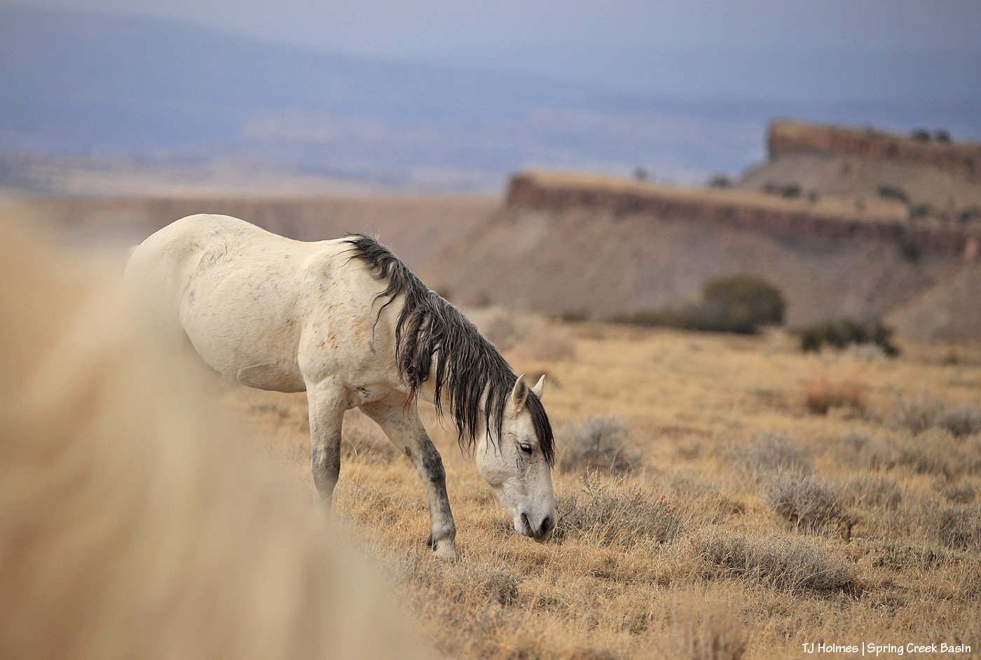
I had so many opportunities with the mustangs in April, but this image of Hollywood was just *the one*. You all know exactly what I mean. (To update, I haven’t seen him again since the image I posted earlier this winter. It doesn’t mean anything other than I haven’t seen him. …)

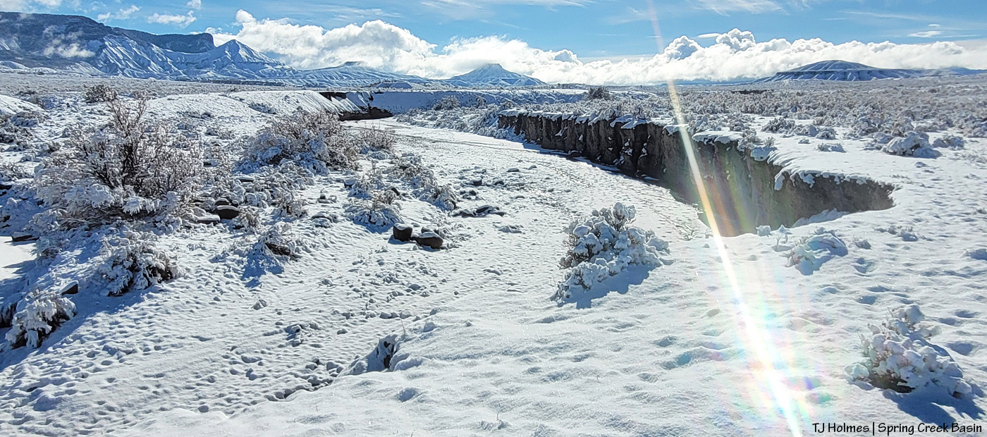
When Spring Creek is running with rainwater, that is a time not to miss photographing it because it doesn’t happen often and water doesn’t run in the arroyo bed for very long. When Skywalker moseyed to the edge of the creek in May, just upstream of the canyon, the scene came alive with story: mustang drinking from an ephemeral stream in the desert.

In June, I was lucky to catch Sundance’s band near Odin’s band … and luckier still to see Sundance and Odin having a friendly little chat! Elder stallion and growing young stallion; what a moment. I’d love to know what wisdom Sundance was imparting to young Odin.
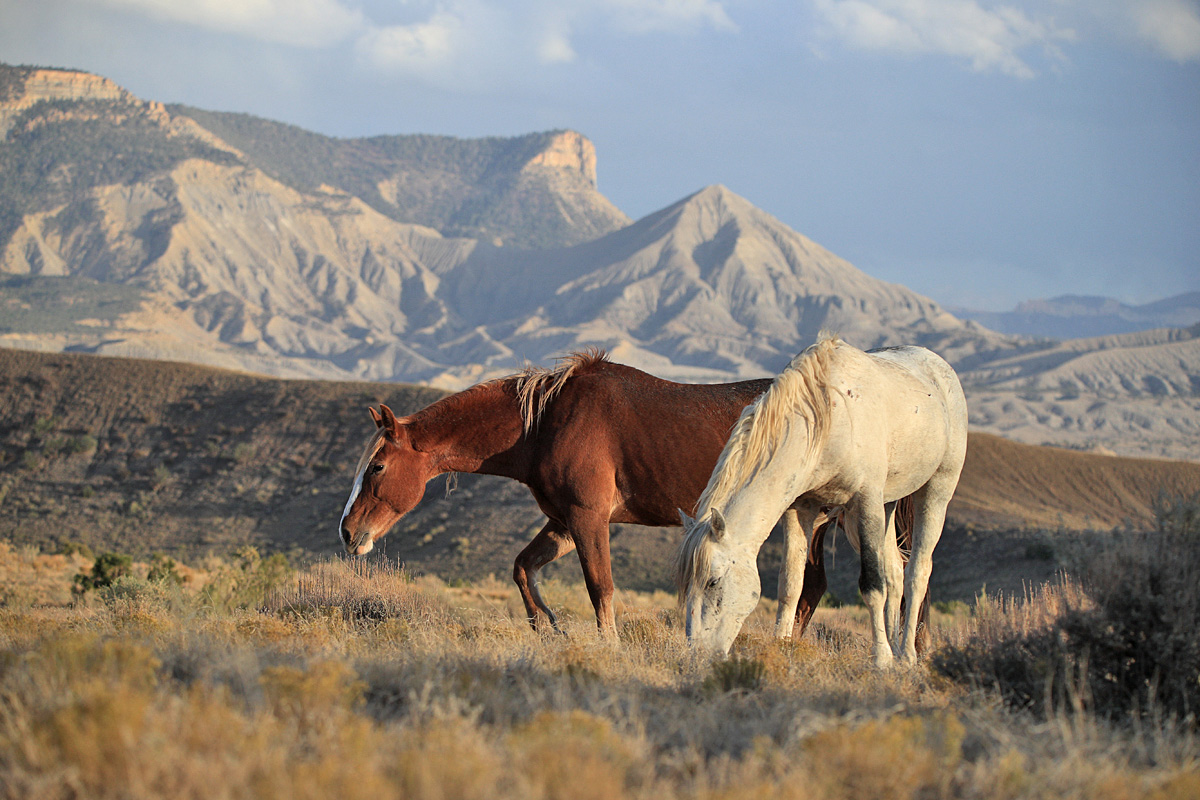
Terra’s stallion adores her. And I mean *adores* her. They travel with another band, but Venture has eyes only for Terra. This image is from July, when it’s hot and dry and the horses just like to doze.
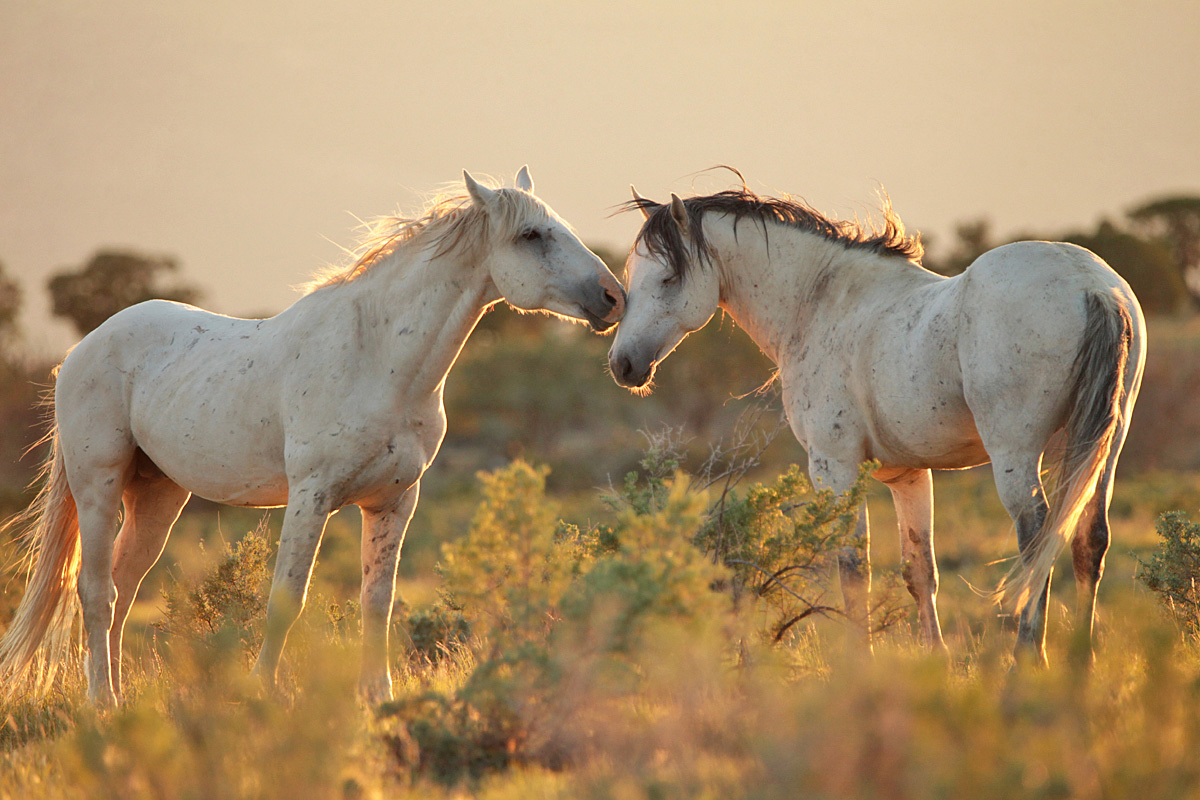
Personally, this is one of my favorite images of the year because those are two of my favorite stallions: Storm and Buckeye. With their bands grazing nearby on this warm August evening, the boys greeted each other quietly and respectfully before returning to their mares.
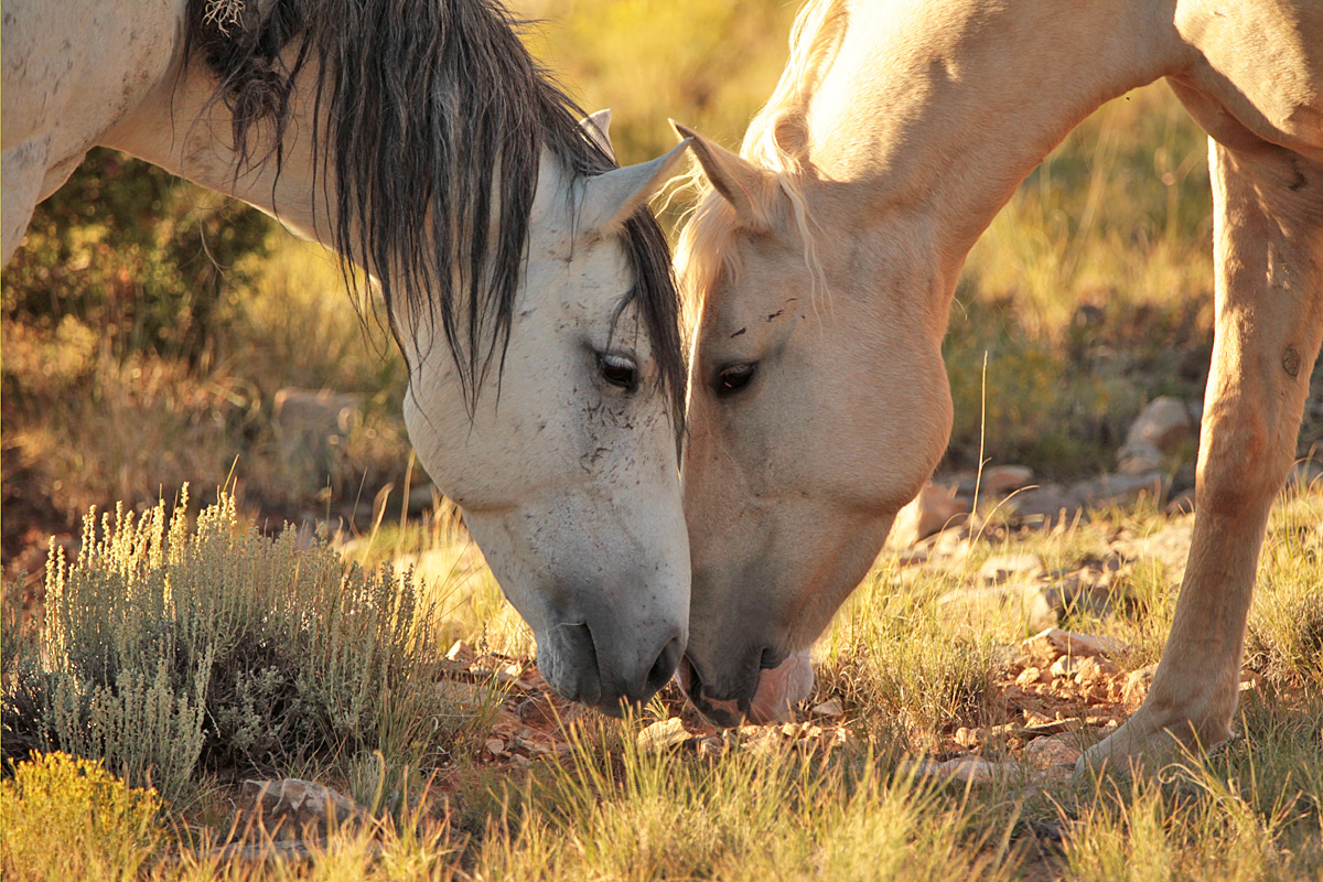
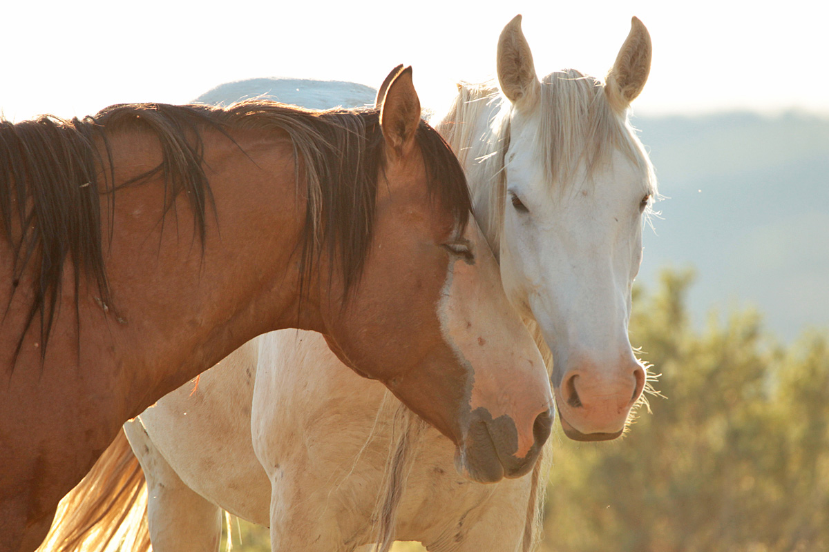
Here’s your Valentine’s Day image, taken last September. 🙂 Buckeye and Rowan, especially, seem to have a special fondness for each other.
After Storm lost his band in October, the mares went through a couple of younger stallions that couldn’t seem to keep them. Flash ended up with Gaia … then also with Mysterium. And finally, as you know now, he gathered all of Storm’s girls (which, I think, probably was due more to them wanting to be together and evading the youngster that had them than to any particular skill Flash had at stealing them!). (I’ve seen Storm just once since he lost the band, way deep in the southeastern part of the basin.)

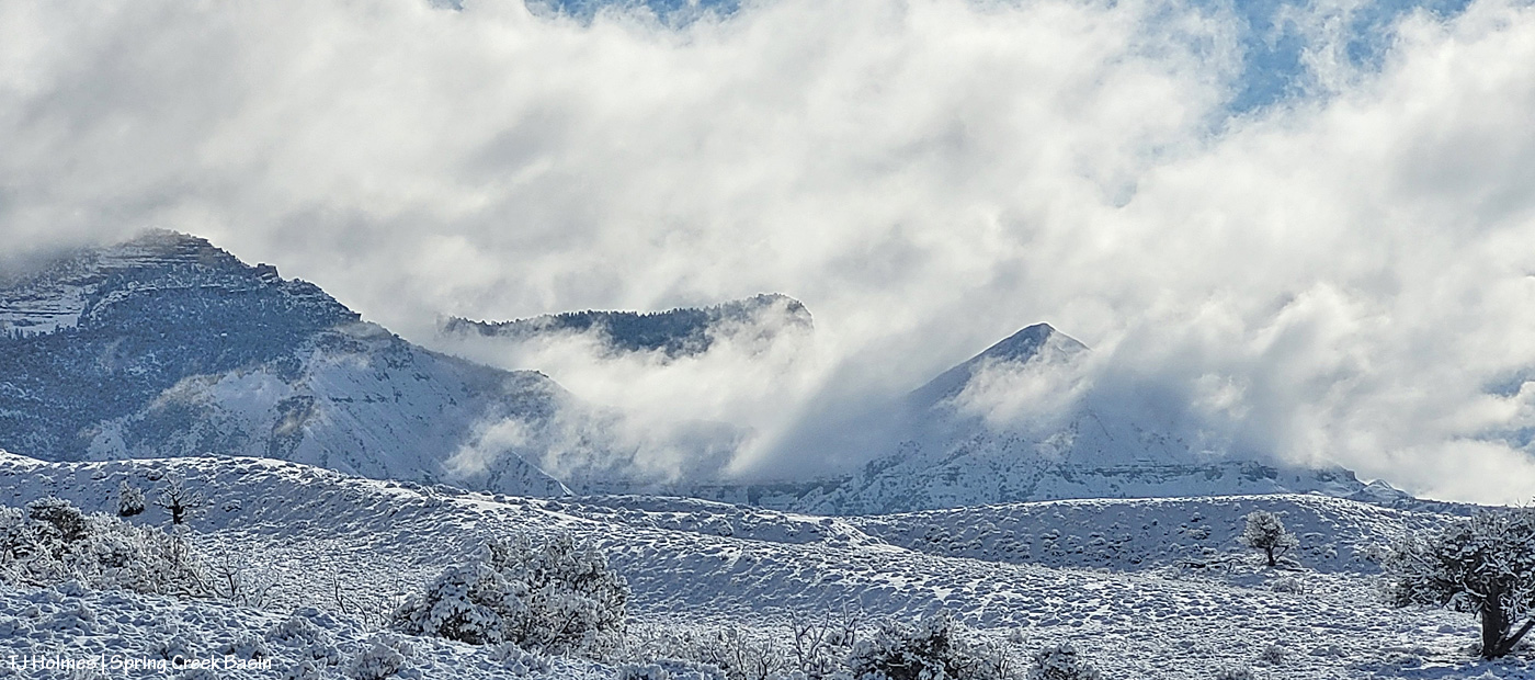
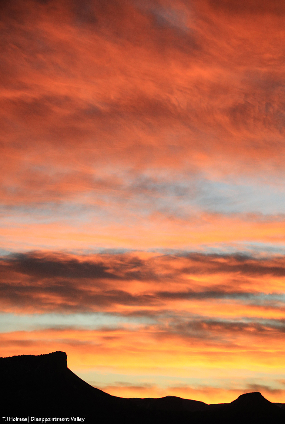
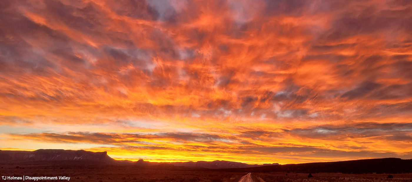
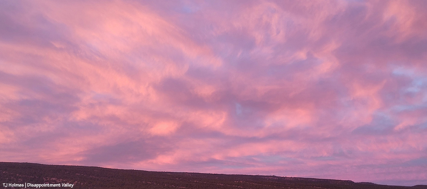
Last November, we had some great snow, and we were so optimistic for the winter to come! … And that was pretty much it. Here it is February, and we’re desperate for moisture of any kind while we watch the dirt turn to dust, to powder. But in November, Terra was a gorgeous girl in the sunlit snow, and life was good.

We had more lovely light in December – as seen glowing around lovely Winona – but not a heckuva lot of snow.
And as usual, a bonus:
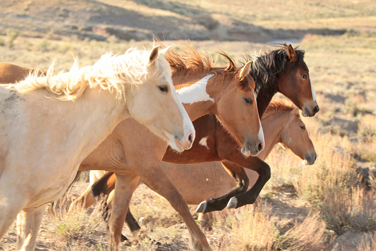
Buckeye’s girls. 🙂 I don’t remember what caused them to run right past me, but I was stoked to capture this image of them nearly in a row, especially just as Bia was leaping a bit of sage or saltbush!
Thanks for following along, happy Valentine’s Day to you and your loved ones, and if we can have a bit of a love(ly) wish … more snow, please! 🙂
*** Update Friday morning: Disappointment Valley is getting RAIN! Not snow, RAIN. In February. In Colorado. Well, you know we’re in desperate need of moisture, so I’ll take it. (But 38F is hard on the wildlife under rain.)