Spooooookeeeeee

31 10 2024

Red sky at night, sailors’ delight.

Red in the morning, sailors take warning.

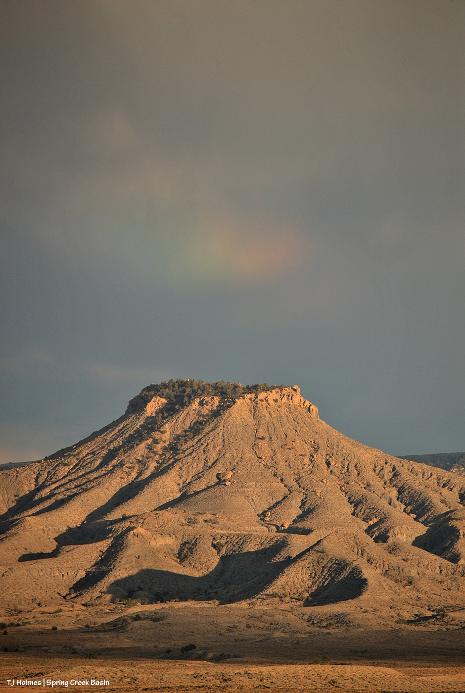
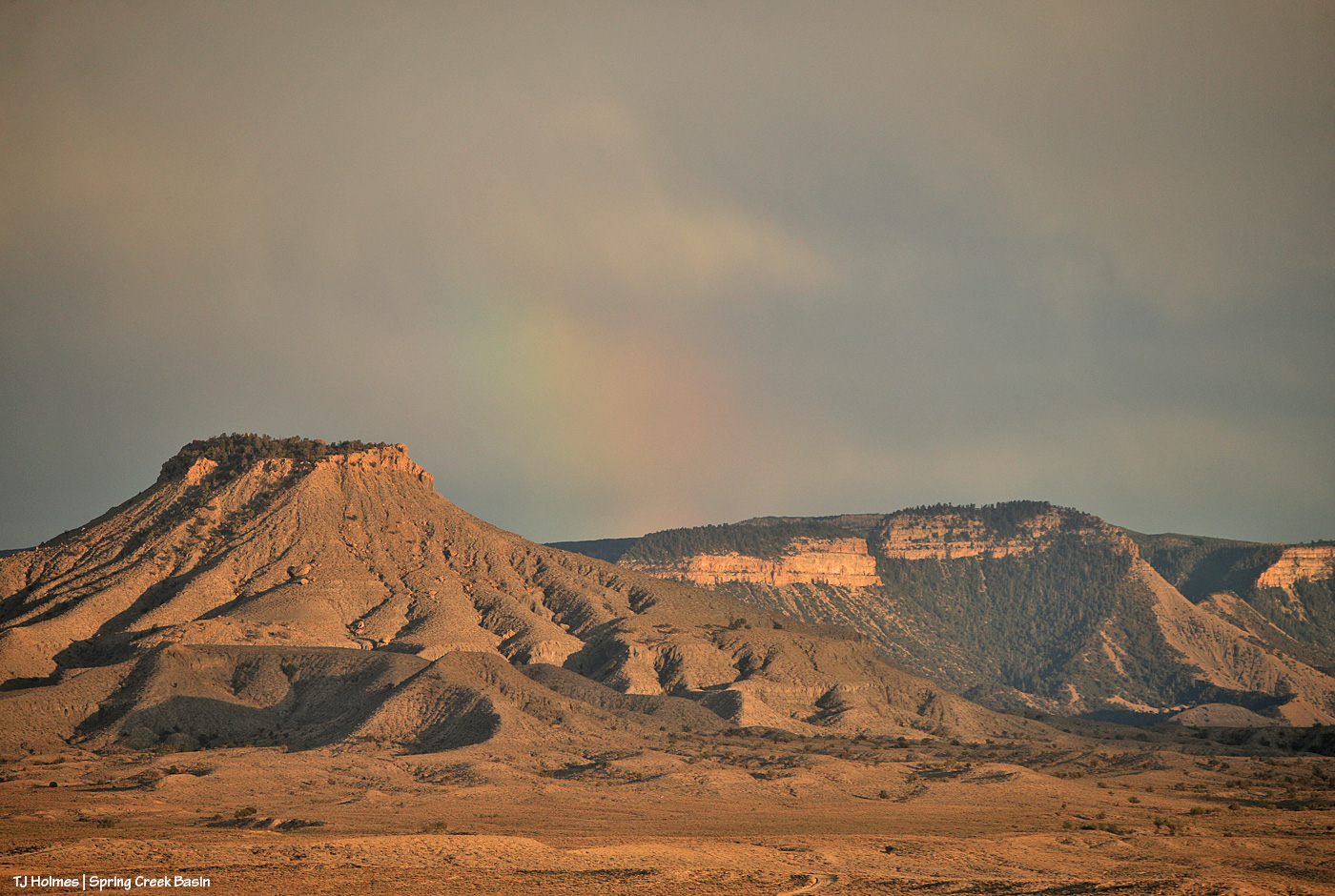
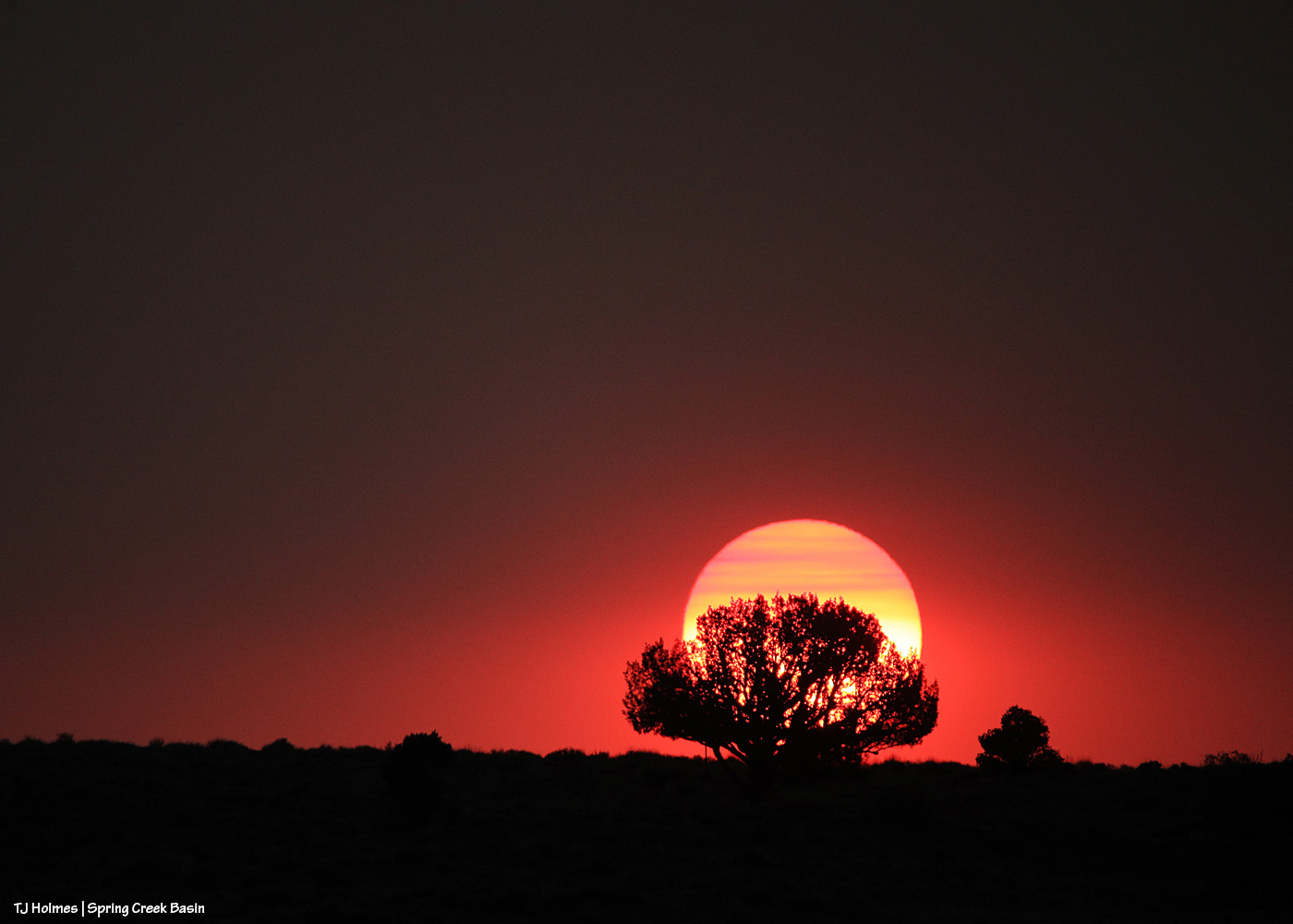
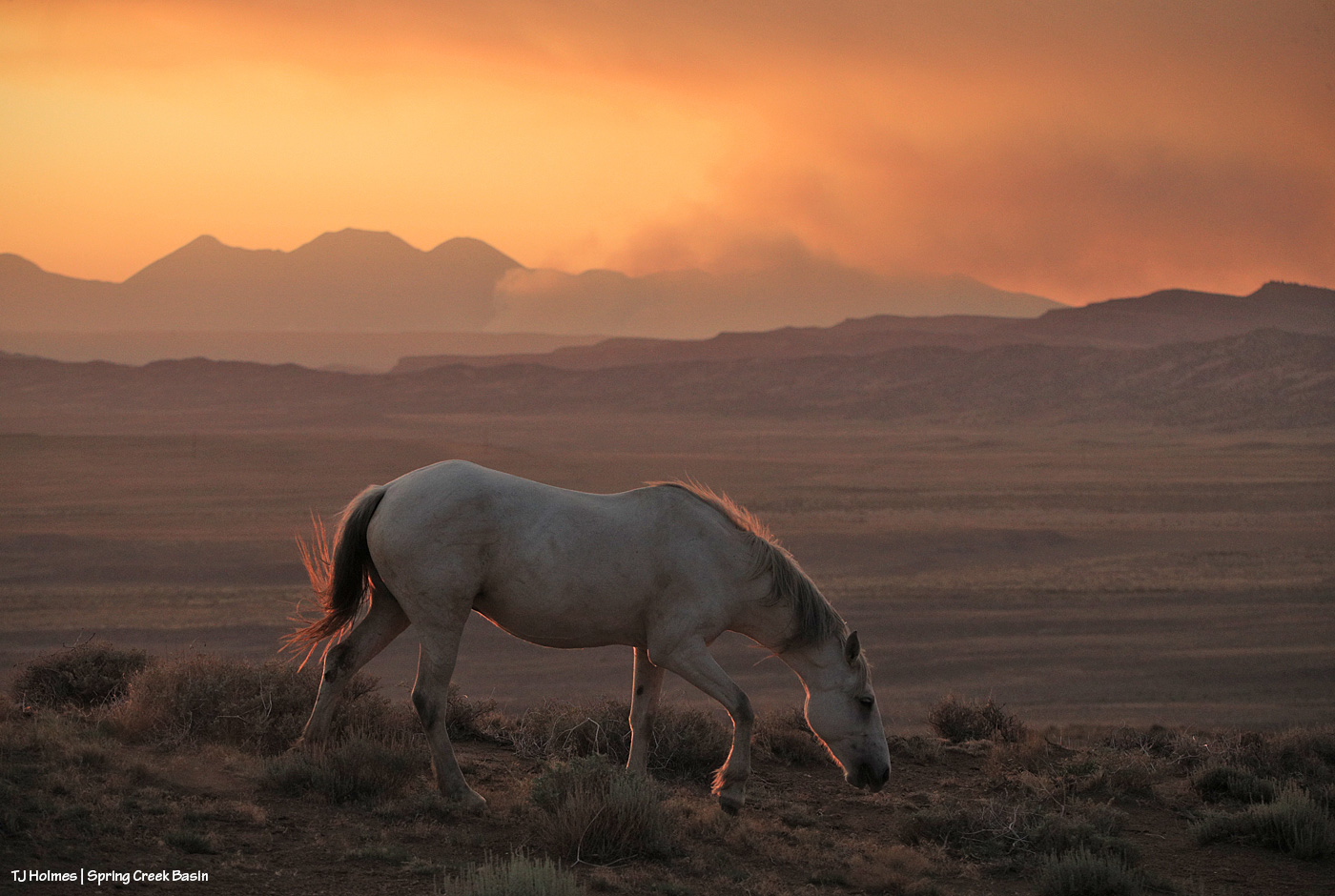
The following pix are from sunset the night of Oct. 28 (I couldn’t think of anything spookier for today’s post!).

Morning the 29th was grey and dark – and raining from the heavens! – and I was fully delighted by both the light show … and then with all of the RAIN (0.86 inch total)!

Am I right, or am I right?! The above is nearly straight out of my camera – I sized it and applied some sharpening. That’s looking west.

This is the spookiest part of the post (!). Looking east toward/across/beyond Spring Creek Basin. Again, the only thing I did was size it and apply some sharpening.

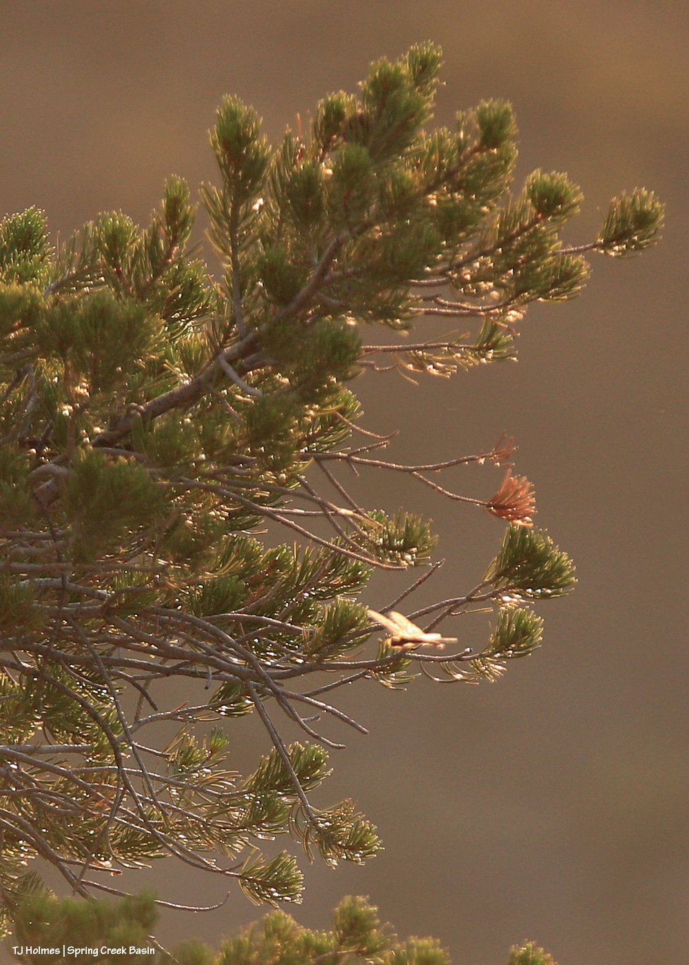
And a bit closer as the color was absolutely exploding.

The above are from my camera; the below – for wider views – from my phone (again, nothing but sizing and sharpening):

And:

I don’t know about sailors (any folks on actual waves are half a continent away), but *I* was the very best kind of astounded!

And very grateful for the rain overnight and the next morning. 🙂


The height of Disappointment

7 10 2024

A recent color (aspen) drive brought me back to Disappointment Valley from the top.

There’s not a lot of color at the top – pictured is Gambel oak – but the views are extraordinary.

Lots (relatively) of ponderosa pines.

That butte is not Temple Butte, by the way. Temple Butte is quite a bit farther down-valley.

Sunset layers. Its own style of autumn color.


‘I love magic’

26 08 2024

Prepare ye for brilliance.

When I went into the basin Saturday evening, this was the view to the northwest beyond Spring Creek Basin, its namesake canyon and lower Disappointment Valley. You can just see eastern Utah’s northern La Sal Mountains at the right edge of the vast curtain of storm-rain.

This pic, with its sage-covered foreground, semi-jagged horizon and gorgeous-glorious sky with angel rays above an isolated downpour of distant rain, illustrates *The West* to me.

Fast forward a couple of hours, and this was developing above our southeastern horizon: end of Valentine Mesa, Temple Butte, McKenna Peak, the crowns of submarine ridge and Brumley Point over Knife Edge, The Glade in the far distance (hi, Rick!) beyond Round Top and Flat Top.

At the same time as above, this was the view to the west. I thought we were going to get last light through that window to the right of the sun, but the clouds had other ideas.

While my very long lens is perfect for capturing pix of the mustangs, not even my wide-angle lens (if I’d had it along) is wide enough for this amazing view of Storm’s band under the, uh, storm clouds (he WAS born under a storm!).

The light on those clouds – and the very far ridges (bottom center between submarine ridge and Brumley Point) – with that narrow band of dark, dark blue (that’s rain away off yonder) … WOW. And just right of very bottom center is a young wild pony who recently left his family and is usually with a calm elder-ish bachelor but this evening was having fun (between peaceful-grazing energy-restoration periods) creating havoc among a few other widespread bands.

Storm at right heading back to his band after leaving a deposit on a stud pile on the road (where I am … really needing to leave as dark approaches but unwilling to leave the gorgeousity).

Other than sharpening, this pic is exactly as it came out of my phone’s most-excellent camera (how DID we survive without cameras in our phones that we can take to the wildest places on Earth?! I won’t be without my camera-cameras … but I do love my phone’s camera for the wide, wild shots). Nerd info: The other pix also had some shadow-lightening applied (with sharpening) to better see the horses in the foreground, but that’s it. WHO NEEDS AI when you have this kind of light happening right in front of you????

It’s straight-up magic, folks. Ma Nature is kind of a genius. 🙂 All I do is point and click. And share. 🙂

We didn’t get rain out of either of those storms … but we got *divine* and very fabulous rain Sunday morning!

(Thanks to Harry Potter for this post’s title/quote!)


Close encounter of the sssslithery kind

23 08 2024

Warning: If snakes give you the heebie jeebies, scroll no more and wait for tomorrow’s post.

Warning No. 2: Seriously.

Warning No. 3: I’m really not kidding.

Are you still reading?

(Hopefully this is enough lines of text to take up space on most phones or tablets or computer screens?)

You were warned.

After a summer of fastidiously watching where I step and kneel and sit and seeing most snakes alive or dead on the area roads (as opposed to where I’m out hiking), this little fellow/a surprised me as I did a turn-and-step move – before watching where my step would land after I turned.

It did NOT rattle; I caught just the motion of the slither and performed one of my patented levitation-slash-backward-step (it may have involved a bit of a jump) moves. I think we surprised each other.

It quickly slithered into a nearby shadscale (one of our salt-desert shrubs) and loosely coiled around the inner stem with its head held up through a natural “window” in the vegetation – all the better through which to keep tabs on me … and allow me to photograph it from a lovely-safe distance (I do have a very long lens, after all).

Taken from a bit higher perspective, this (though soft as the focus was on that distinctive head) shows a bit of the pattern on its … back? Dorsal aspect, I suppose. 🙂 Another scaly critter with dorsal spots sted stripes!

And young. While it seemed healthy (read: it had some width/circumference to its body/length), it had only two tiny little rattles/buttons at the tip of its tail.

I went off in pursuit of other (safer) photographable things, and when I returned, snakey was gone. (I don’t think that made me any more relieved, not knowing where it went!?)

I’ve never known exactly what species of rattlesnakes we have here in Southwest Colorado. Ours are fairly short – no more than a couple of feet, generally (the ones I’ve seen) – even the ones with multiple rattles/buttons. While the one pictured above seemed “normal” in length, comparatively speaking, it had just a couple of little buttons (and unfortunately, I was too busy in my levitation mode to get pix of that end before it cozied up under the shadscale). This University of Colorado website has a good photographic listing of the state’s snakes, and what we apparently have are “midget faded rattlesnakes” – second-to-last slide.

This Colorado Parks and Wildlife site gives a lot more information about midget faded rattlesnakes – without the pix if you do, indeed, get the heebies just from looking at the critters (and if you do, how are you still reading this post?!). Having learned to levitate fairly late in life, I will say that while I appreciate their role in the ecosystem and always leave them alone – taking only pix and as quickly as I can so I can leave them to their snakey pursuits – they give yours truly the heebie big jeebies, too!


High on a creek full of water

14 08 2024

Hold onto your paddles, folks, have I got some rainwater for you. 🙂

Brought to you courtesy of Mother Nature –> Southwest Colorado –> Disappointment Valley –> Spring Creek Basin:

A full water-catchment trough is always a good sign. Fortunately, though low (in the tank, uphill behind me), we’ve had enough rain lately to keep this trough full – and there have been a fair number of horses drinking here with the amazing grass around (don’t let the pic fool you; the galleta, in particular, is bonkers this year, along with the alkali sacaton). I may have explained this in the past, but it bears repeating: The triangular sheet of metal over the trough is an evaporation cover, designed to help slow evaporation of precious water in our (usually) dry climate. The shape of the cover is triangular so the horses have plenty of room to drink at the sides of the round trough.

The Flat Top pond looks small in this wide-angle view looking eastish across Spring Creek Basin, but although it has gotten pretty shallow in recent years, it’s a pretty good size.

Good thing I scouted the V-arroyo before I tried to cross it. Those are my tentative footprints in the pillowy, shoe-grabbing – and tire-stopping – mud in the center bottom of the pic. You might not think it’s too bad, but there’s a lot of water in/under that surface mud still, and it is NOT friendly to tires or shoes until it has a chance to seep deeper into the soil and dry out from the bottom up. Along the left side of the pic is the arroyo – we’re looking upstream. The bottom of the arroyo, where I’m standing on relatively firm ground, isn’t very wide (hence my name of the “V”-arroyo), and the road rises to my left – up a little water-carved bank that’s nothing like the wall still in place on the other side of the first Spring Creek crossing.

Holy Spring, err, RIVER! I know it’s hard to tell, but this is the first crossing of the usually-dry arroyo that is Spring Creek (when it’s not masquerading as a rainwater-swollen river). Yes, the other side is a road. 🙂 Well, it’s mostly a two-tiered wall; the right side of it is where I dug a channel in the wall the last time the creek ran (back in June) so I could get my ATV across and up and over. It has been widened by crazy people in a truck (I don’t know who … I don’t know anyone that silly/stupid/nutso), but it’s greatly eroded again and is going to need some custom shovel work. (And lowering of the water level. :)) The width here is probably about 25 yards? (Good darting distance.) And this water level is at least 4-5 feet below where it was at its highest/widest mark, behind me, so it’s already running with less volume than at its peak. (WoW!)

I took a lot of pix from here, and I wish I knew how to embed video; I’m still on a super-high from seeing all that water. Bear with me as I show you some upstream and downstream and high-vantage pix. (If you don’t think water in the desert is A BIG DEAL, you don’t live in a desert.)

Looking downstream. Note the two-tiered wall across the creek where the road is (should be). Most of the rocks at left are from previous flooding. But I will tell you, that kind of water can move BIG rocks. I have seen it, and I have moved big (enough) rocks out of the way of crossing in a vehicle or ATV. This is why the powers that be warn people against crossing flooded roads; that water literally grooves arroyos into our salt-desert landscape (milennia ago, this was under a giant ocean!).

Arroyo as defined by Merriam Webster: plural arroyos. 1. : a waterway (as a creek) in a dry region. 2. : an often dry gully or channel carved by water.). … Arroyos are a desert’s proof of water movement – that far bank/wall is much taller than I am. The wall where the road used to be is proof that they’re always changing – with more water.

Looking upstream. Note the water at far right; it was still finding ways to trickle along downstream.

A bit wider view from back up the road a bit. I mean … ?! 🙂 I knew, before ever I got there, that I wouldn’t be able to cross, but I did NOT know how river-esque Spring Creek would be. I love, love, love this place.

Similar view, but this shows the bend in the creek at right. … Try to follow me upstream: See McKenna Peak (the pyramid-shaped pointy peak)? Way back there is the source/start of Spring Creek, which – as you all know, being loyal, wonderful readers of this blog – drains Spring Creek BASIN (along with all its multitude of widely (and narrowly) and wildly variable tributary arroyos). As you may or may not know, the creek doesn’t roll in a straight line from there to here (or beyond/behind/downstream of me). So that bend goes around to the left – upstream of the southernmost *major* drainage/arroyo in the basin – and past another creek/arroyo crossing (below the dugout, if you’ve visited). It comes from the eastish side of the basin – with the northernmost *major* drainage/arroyo entering from the northish to also run back to (really from) the northeast. Are you still with me? There are three *major* drainages in Spring Creek Basin with Spring Creek being the lowest, middle drainage – named as the very-most-major drainage and namesake of the basin it drains.

Water is important here. Knowing how it flows is part of the importance. Back in the very-long-ago day, some other silly people – who apparently didn’t know about arroyos and the highly-erodable quality of the salt-desert soil – tried to dam Spring Creek just below the confluence of the third major arroyo. Thinking they would create a reservoir out of which to irrigate land for farming (what WERE they thinking?), they built a dam and dredged miles of irrigation ditch; the remains of both can still be seen. As the story goes, the first major rain of the (likely monsoon?) season brought water rolling like a river down every tiny arroyo, down to and through the big drainages, blasted a hole in the dam that likely had cost boatloads of blood and sweat and resulted in tears (!) … and they went away *disappointed* (har har). … Mother Nature always wins, folks.

Well, I knew better than to attempt the crossing of Spring Creek Basin’s *river* (without more rain … which we’re getting again as I type … the creek would likely be done flowing within 24 hours … though the water will last in pockets and seeps for a good long while), so despite the big group of a couple of bands of mustangs not far away, I headed out, already on a great big, marvelous high.

What you’re looking at in the pic above is our crazy-good grass, which amazes me because of the little – but always valuable – rain we’ve gotten this summer (this year, really; it’s been pretty darn dry since *last* year). The galleta grass is particularly bonkers this year, along with the sand dropseed and/or alkali sacaton (very similar in appearance). This is from right inside the basin’s main/western boundary entrance looking eastish.

From here, my next destination was the south rim of Spring Creek canyon, through which water runs out of Spring Creek Basin, out across lower Disappointment Valley and into Disappointment Creek, which delivers water – along with a “healthy” (aka large) dose of salt and sediment (apologies) – to the grand and spectacular Dolores River.

Spring Creek, draining Spring Creek Basin. 🙂 Around the near (left) bend, before the far bend, there’s a fence across the wide-open low ground and a water gap across the creek; that’s the basin’s western boundary. Way yonder, on the horizon, on the far side of the farthest rimrock and even beyond that blue-grey tide of rain, is the south shoulder of eastern Utah’s La Sal Mountains.

Not even my phone’s widest angle is wide enough to take in all the gorgeousity of Spring Creek through its canyon, so here’s another bit of view that takes in more of the upstream canyon area. Spring Creek Basin stretches north (straight ahead of me) and east (to my right) and south (behind me) from this perspective on the canyon’s south rim.

Those layers. The canyon is neither super deep nor particularly long. But it is so gorgeous.

In just the short time I walked out and spent along the rim, the storm to the west was already passing.

Looking upstream across the heart of Spring Creek Basin, where another storm loomed on the northeastern/eastern/southeastern horizon.

And because this is a blog about the wild horses of Spring Creek Basin, there IS a mustang out there, though I’m not sure he’s visible. As far as I know, the young mister is the only one to have crossed the creek (within view, anyway). 🙂

Grow, grass, grow!

Better late than never (this was the last day of specific rain in the forecast). I think we can be said to have gotten some monsoon rains this summer. Despite all the worry leading to this day (yesterday), soooo amazingly grateful. 🙂

* Thanks to Charley Pride for the inspiration behind this post’s title – “(High on a) Mountain of Love.”


‘After’ is the very best

30 06 2024

I think – I hope – that these pix truly are worth 1,000 (or more!) words … but I’m going to give you a few more anyway. 🙂

This is the east-pocket pond, aptly named as it’s located in Spring Creek Basin’s east pocket. This isn’t the only pond that suddenly has water after Thursday’s tremendous downpour, but it’s the only one of which I have a “before” pic.

“Before” was a little after noon on June 27, a few hours before the four-hour deluge. “After” was about 26 hours later on June 28.

Maybe, if you look closely, you can see a band of greys at far distant left in the pond-now-full pic. Fortunately, the horses have multiple sources of water now. It’s amazing how quickly things change (for the better, in this case!).


Happy, happy toads

29 06 2024

The toads are back! I *think* this is a red spotted toad, but I am no toad expert.

Why are the toads back?

WE.

GOT.

RAIN!!!!!!!!!!!!!!!!!!!!!!!!!!!!!!!!!!!!!!!!!!!!!!!!!!!!!!!!!!!!!!!

When you get only a bit more than half an inch in almost three months, then you get enough rain in two consecutive days to push that above an inch … THEN you get 1.66 inches of rain in four hours … the toads start thrumming their joy. Sure, sure, it’s mating season (dependent on water?!), but I’m pretty sure they’re happy to finally have some water.

*I’M* happy to have water, for the toads and the mustangs and all of the critters who depend on water in the desert.


Not good-bye, fare thee well

24 06 2024

Readers of this blog know that I/we have enjoyed a particularly good partnership with our BLM folks for the last nearly decade, in huge part because of rangeland management specialist and Spring Creek Basin herd manager Mike Jensen.

Our PZP program was implemented during the 2011 roundup, before Mike returned to herd manager duties (he was herd manager here first in the early 2000s), but Mike has been an absolutely staunch supporter of the program. It was under Mike’s leadership that we were able to get bait trapping solidified as the capture method of choice (when the time comes), and because of Mike’s dedication to vegetation monitoring, for the 2020 herd management area plan update, we had the data necessary to allow the increase in AML (appropriate management level) from 35 to 65 adult horses to 50 to 80 adult horses. That, combined with the very successful PZP program, has meant an astounding 13 years to date since the last roundup and removal of any Spring Creek Basin mustangs.

Mike is the BLM partner every advocate wishes for and we have been so very fortunate to have.

Under Mike’s leadership, Spring Creek Basin Herd Management Area is a model that other BLM managers and advocates can aspire to. (That’s not arrogance; that’s pure gratitude.)

As I described in yesterday’s post, last week, Mike and Tres Rios Field Office Manager Derek Padilla came to Spring Creek Basin for the field trip with Colorado Wild Horse Working Group members. I take every opportunity offered to describe Mike’s work ethic, partnership and support of our mustangs to anyone who will listen, but this was the first opportunity for group members and our Colorado advocates to see him in action as he talked about the history of Spring Creek Basin as a herd management area and our accomplishments in both herd management and the projects we’ve completed for the benefit of the mustangs. Naturally, everyone wants a Mike clone for their areas. 🙂

By the time we reached the day’s end goal and turnaround spot – the northwest-valley water catchment we built in 2022 – we were down to our local advocates and a Jeep-full of advocates from the other herds.

And because Mike retires Friday from a long (30 years) career with the Bureau of Land Management, we local advocates wanted to take advantage of the last opportunity we’d likely have Mike in Spring Creek Basin to mark the occasion, wish him well and give him a token of our appreciation.

Left to right: Mike Jensen, Frank Amthor, Tif Rodriguez, Pat Amthor and yours truly.

Thank you, Mike, for being such a champion for wild horse management here in Spring Creek Basin, for being a true partner, for being one of the people I respect most in this world. We wish you well in retirement! Don’t be a stranger. 🙂


Out in the field with a lotta folks

23 06 2024

Six vehicles. One ATV. Twenty-six bipedal humans. Most bands in Spring Creek Basin.

Crazily excellent weather (temps in the comfortable 80s, not blistering 90s or sizzling 100s). Perfect breeze. … NO GNATS (how that’s even possible, I don’t begin to know).

Earlier this week, I was joined in the basin by several members of the Colorado Wild Horse Working Group and associated people, including BLM herd manager Mike Jensen and Tres Rios Field Office Manager Derek Padilla, and (very) long-time Spring Creek Basin advocates and amazing friends Pat and Frank Amthor and Tif Rodriguez.

Some background: In May 2023, Colorado Gov. Jared Polis signed Senate Bill 23-275 into existence. In a nutshell, “in 2023 the Colorado legislature passed Senate Bill 23-275 to provide resources and support efforts to ensure the long-term sustainability of Colorado’s wild horse herds and rangelands.”

Among other things, the bill created this working group, made up of a wide variety of “stakeholders,” to share information and consolidate that knowledge into specific recommendations to legislators in the Colorado Legislature and to the governor. To that end, the working group started meeting last October, and members will offer a first (draft?) report of recommendations by Nov. 1, 2024. Among other folks from other groups and state and federal agencies, representatives of each of Colorado’s herd management areas and wild horse range are members of the group: Stella Trueblood with Sand Wash Advocate Team (Sand Wash Basin Herd Management Area); Cindy Wright with Wild Horse Warriors for Sand Wash Basin; Judy Cady with Friends of the Mustangs (Little Book Cliffs Wild Horse Range); Kathy Degonia with Piceance Mustangs (Piceance-East Douglas Herd Management Area); and yours truly for Spring Creek Basin (and you know that I truly took advantage of the geographic field trip to hammer the difference between Spring Creek and Spring Creek Basin!).

At our meeting in swanky Telluride the day before, our group members, excellently facilitated by Heather Bergman with Peak Facilitation Group, started to more narrowly define what we would like to present to legislators and the governor as recommendations to best support BLM’s management of wild horses on federal lands in Colorado … AS WELL AS populations of wild/feral/trespass horses in the San Luis Valley in south-central Colorado, the Southern Ute Reservation, the Ute Mountain Ute Reservation and Canyons of the Ancients National Monument, where horses from both the Ute Mountain Ute Reservation and the Navajo Nation are crossing state, tribal and monument lines drawn (by humans) in the desert rock and sand to roam without benefit of legal protections or management.

These include the creation of a state-funded and staffed wild horse program, possibly within the Colorado Department of Agriculture (through which the working group is currently led by Wayne East, ag/wildlife program manager with CDA); staff/monetary support for fertility-control efforts and the same for adoptions and adopter success with their mustangs; an advisory board for the aforementioned wild horse program within the state; and the potential creation of a state wild horse preserve.

To quote a BLM manager at a different event, the wild horse (and burro) situation is … prickly. It’s thorny. It’s controversial. It’s complicated. It is surrounded by passionate folks. Seemingly, there’s not a lot of (noticeable?) compromise. I think that at its base, our goal is collaboration supported by the compromises that are essential. Colorado probably leads the nation (or at least the 10 Western states that have herds of wild horses and burros) in support of our mustangs. Each of our herds has an associated advocacy group working for the long-term good, successful management of those herds and their ranges. That’s not to say there aren’t challenges or that more support wouldn’t be welcomed and isn’t essential. It’s a big issue, folks, and “black and white” doesn’t begin to describe the myriad of other issues involved and necessary to consider. I will say that this Colorado Wild Horse Working Group is the among the best I’ve been part of in working toward compromises and collaborations – and best management practices – for our mustangs. And I’ve been in this world for a very long time (nearly 17 years).

I was happy – and also nervous – to welcome folks to my sacred space, my happy place, my HEART place … to see the valley and basin I call home and the horses that are the loves of my life. Spring Creek Basin is so very dry right now, but Mother Nature cooled the air and brightened our vistas (red-flag warnings the previous three days in a row meant the dust level was high) and – amazingly – quelled the gnats (!). And the horses. … I can’t tell you how many people thought I was “communicating” with my mustangs to present the very best wild horse experience imaginable. 🙂

Those weren’t all the folks present, just those associated with the working group. At the end of the field trip, my advocate friends and I had a little something special for Mike Jensen, who retires at the end of this month after 30 years with the Bureau of Land Management. To say we are losing someone respected and essential is to do a grave injustice to the end of an era and his partnership and leadership. That’s for another post.

Thank you, everyone. I hope you enjoyed your visit with our mustangs in the very best place (if one of the driest?! (and I don’t mean to overlook or disparage other places in even worse drought than we’re in)) in the universe.

Pictured in the first image at the top of this post (with titles as accurate as I can remember or look up), left to right: Derek Padilla, Tres Rios Field Office manager; Lynae Rogers, on-range wild horse lead for BLM in Colorado (she also juggles a lot of off-range duties); Kathy Degonia, Piceance Mustangs; Tracy Scott, Steadfast Steeds; Sandra Solin, American Wild Horse Conservation; Judy Cady, Friends of the Mustangs; Stella Trueblood, Sand Wash Advocate Team; Tessa Archibald, Homes for Horses Coalition; Abe Medina, Colorado State Board of Land Commissioners; Will Benkelman, Peak Facilitation Group; Mike Jensen, BLM rangeland management specialist and Spring Creek Basin herd manager; Elise Lowe-Vaughn, Rewilding America Now; TJ Holmes, Spring Creek Basin darter and documenter; Wayne East, ag/wildlife programs manager, Colorado Department of Agriculture and leader of the working group; Maggie Baldwin, Colorado state veterinarian with CDA; Tim Brass, Colorado Department of Natural Resources; Lucy and Trish Menchaca, alternative livestock & special permits coordinator, CDA; Emily Blizzard, acting director (?), APHIS, U.S. Dept. of Agriculture.


Superior service

2 02 2024

United States Department of Interior
Honor Award
Michael L Jensen
is hereby awarded this certificate of honor for Superior Service

For … the certificate doesn’t specifically mention … his outstanding work for the mustangs of Spring Creek Basin Herd Management Area. It’s been a long time coming – at least three years since we started trying to get some kind of BLM award to recognize Mike for his – literally – superior service and partnership.

We advocates had a small celebration for him a few years ago during an informal gathering of ourselves and Mike and his wife, Shawna (a Forest Service hydrologist), but it was really satisfying to see Mike recognized among his peers at a BLM meeting this week in Mancos. Stephanie Connolly, BLM Colorado’s Southwest District manager, also was in attendance (and took the above pic). Derek Padilla, our new Tres Rios Field Office manager, led the meeting (which wasn’t about awards until the end), and it was Joe Manning (pictured above at left), assistant TRFO manager, who introduced the award and Mike.

As Joe said, the wild horse and burro situation is “thorny,” and it is that and more. We’ve had our own challenges in Spring Creek Basin with (very much) less than “superior” service (!). Mike has smoothed out the rough edges and been a partner in every sense since his return to the herd’s helm almost (?) 10 years ago.

Mike is retiring this summer after 30 years with BLM – most of those spent in Dolores at what is now called Tres Rios Field Office. In the pic above, yours truly is grinning like a fool because 1) I was so happy for Mike to get this recognition, and 2) I was trying not to cry (which, as anyone who knows me can attest, even if they weren’t there, I completely failed to NOT do).

Mike says we’ll be OK – and we WILL be. Because of his leadership and vision in getting projects done such as the two new water catchments and his diligent work at updating our herd management area plan, which is stellar among such things. I’m not gonna miss him until I have to miss him (he laughs when I say (repeatedly) that I’m going to chain him to the cattle guard at the basin’s entrance so we don’t lose him), and I will write more later, but damn, I’m going to miss him.

Congrats, Mike. Your service IS superior, and we all are grateful for it.

Thanks to Stephanie Connolly, Derek Padilla, Joe Manning and, of course, Mike Jensen.

In attendance (Mike is pointing them out in the pic above) were VERY long-time (since the 1990s) volunteers and supporters of Spring Creek Basin mustangs Pat and Frank Amthor (who traveled from their home in New Mexico), and Kat Wilder, author of Desert Chrome and neighbor of the mustangs. Tif Rodriquez, another long-time supporter, advocate AND adopter of Spring Creek Basin mustangs Whisper and Asher (and other mustangs), unfortunately was feeling awful and wasn’t able to attend. (Thank you so much, Joe, for letting us know about Mike’s award so we could be there to support HIM!)