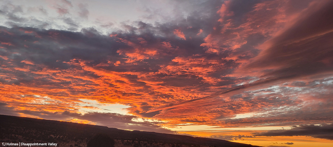
Don’t hate me for making up spectacular words to match the gorgeousity of the magic scenery, painted by Mother Nature. … Anyone would (and should) do it. 🙂
(And yes, I did get semi-soaked!)

“It won’t rain.”

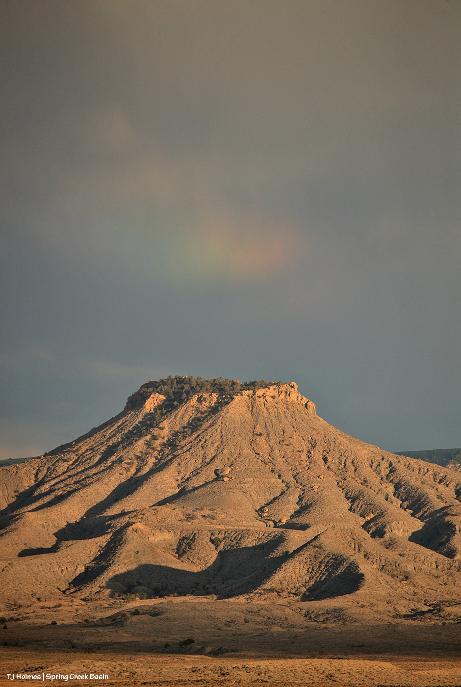
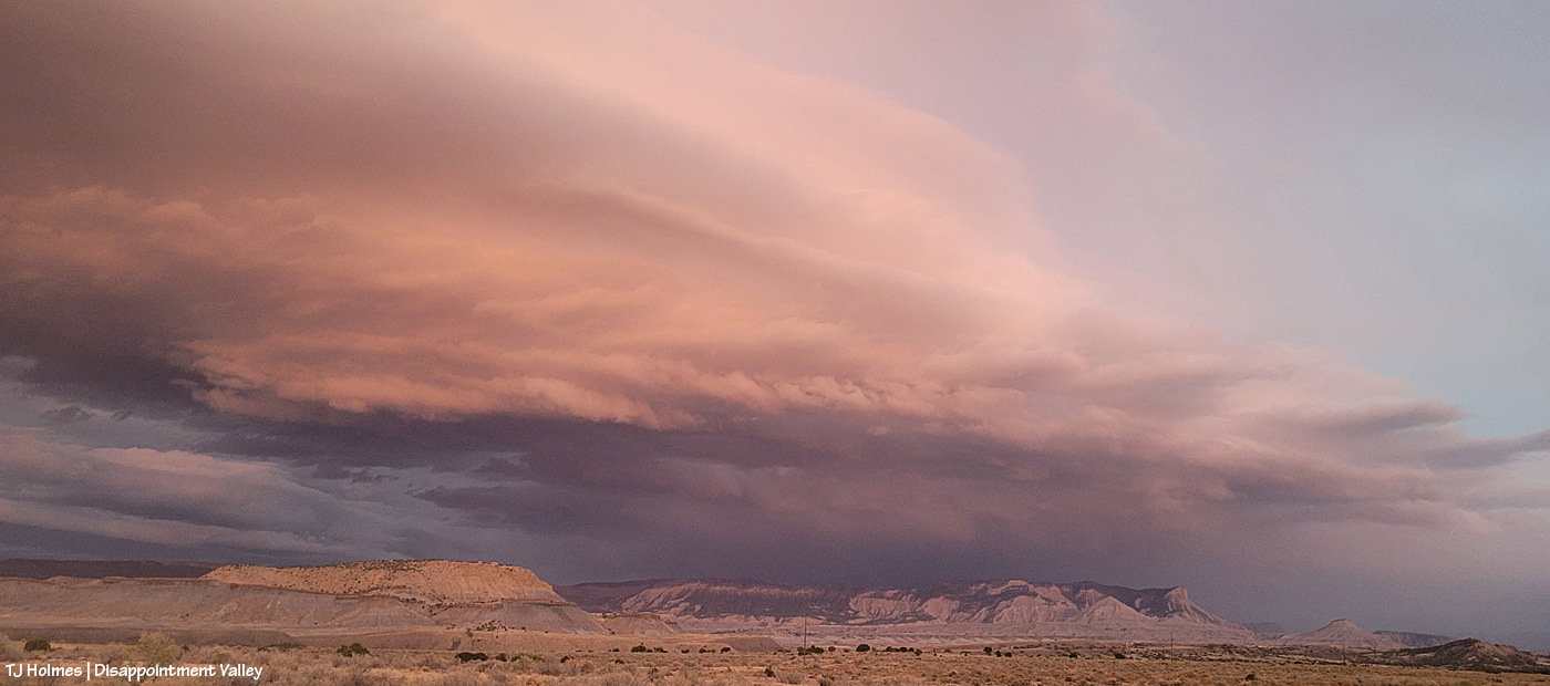
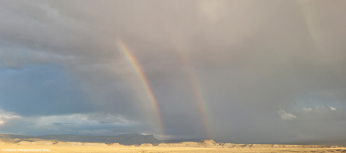
The rain came from behind-ish me (southish), and though it lasted (at a guess) less than five minutes, it soaked my right pant leg and right shoulder/arm and left water dripping down my leg inside my pants (!). These two pix (above) are looking north as the rain has mostly passed over me and is continuing north.

From the same spot as the first two pix, looking now eastish, I watched the moon rise over Temple Butte (promontory) and McKenna Peak (pyramid).
The moon was still barely visible when the light hit the passing rain and formed the prism, but while trying to decide between my phone and big camera, I think I missed it before it rose into the clouds (argh!).
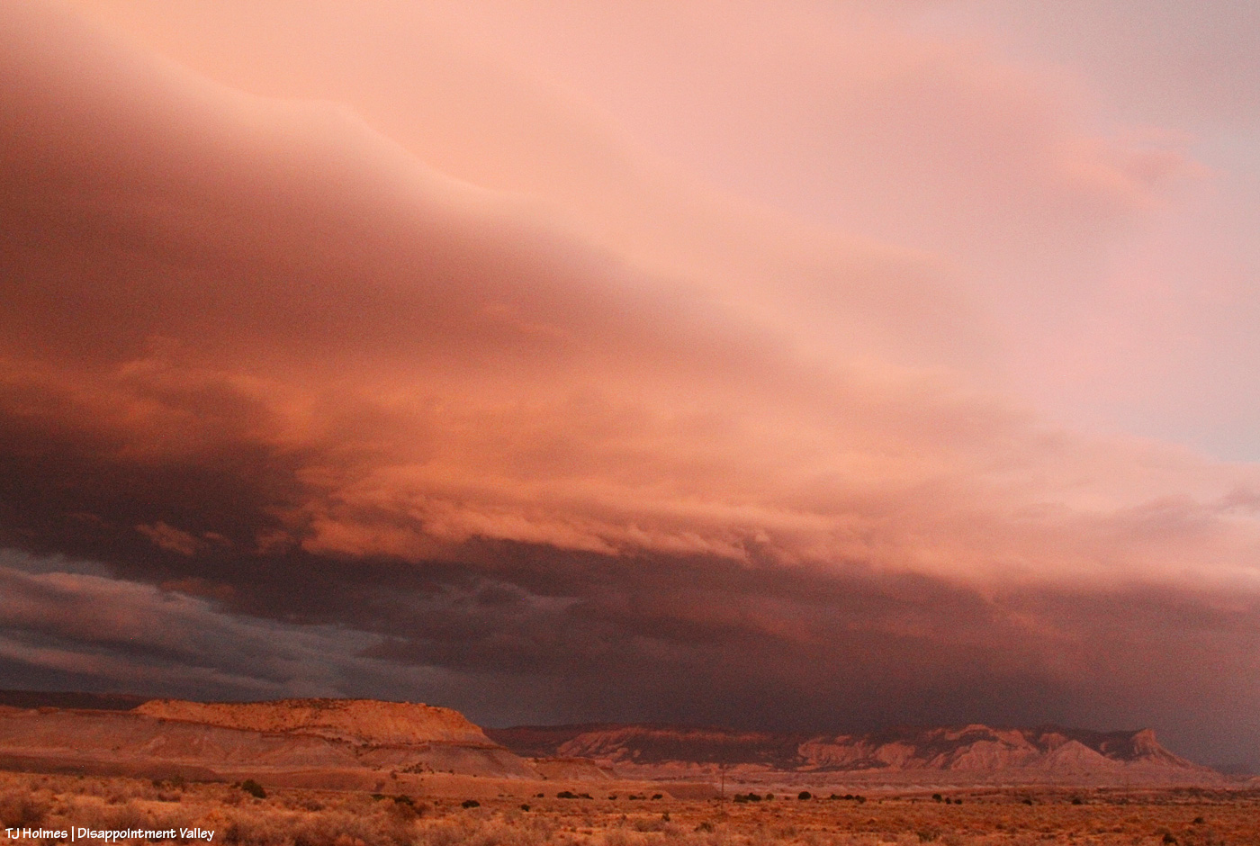
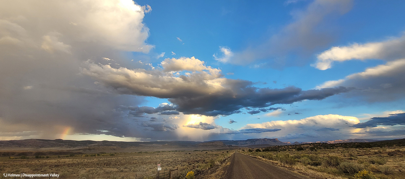
With more dark clouds rising from the south and mustangs mostly far and scattered across the northern part of the basin, I decided to return another day. … (Note: It’s not a good idea to go into the basin if it’s going to rain. The road can get spectacularly bad when really, really, super wet.)
Wellllllll (a friend and a new friend will understand that heavily accented word 🙂 ) … when your gut tells you to turn around and make for the place where the rainbow will align with the pot of gold you know to be there (if you know, you know), be like Leroy Jethro Gibbs, and pay attention to your gut!

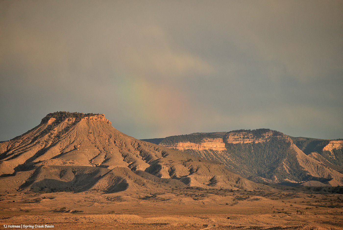
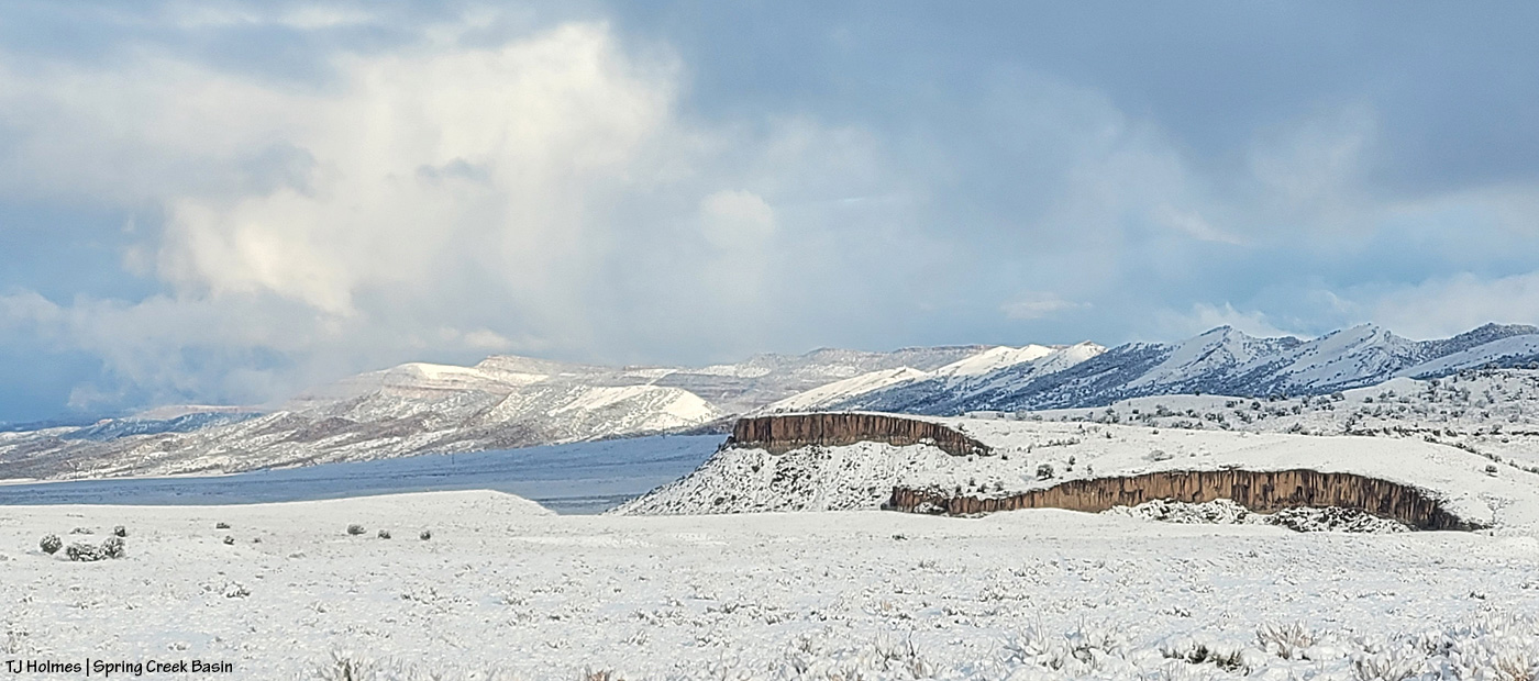
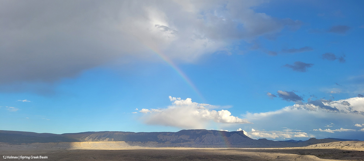
I stood in the sunshine along Disappointment Road while the second wave of rain passed from south to north across Spring Creek Basin (the rimrocks are Spring Creek Basin’s western boundary; the basin stretches away to the east in the northeasternish part of Disappointment Valley).
And the spectacularity JUST. GOT. BETTER.

End to end under the powerlines.

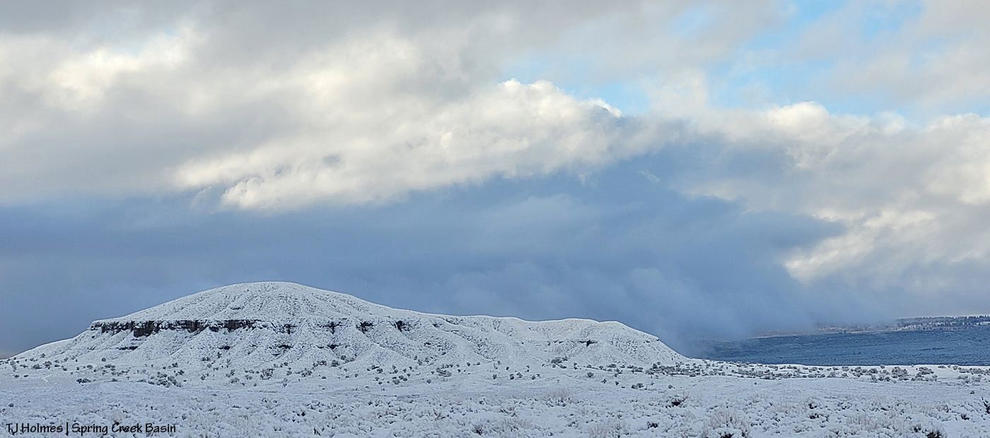
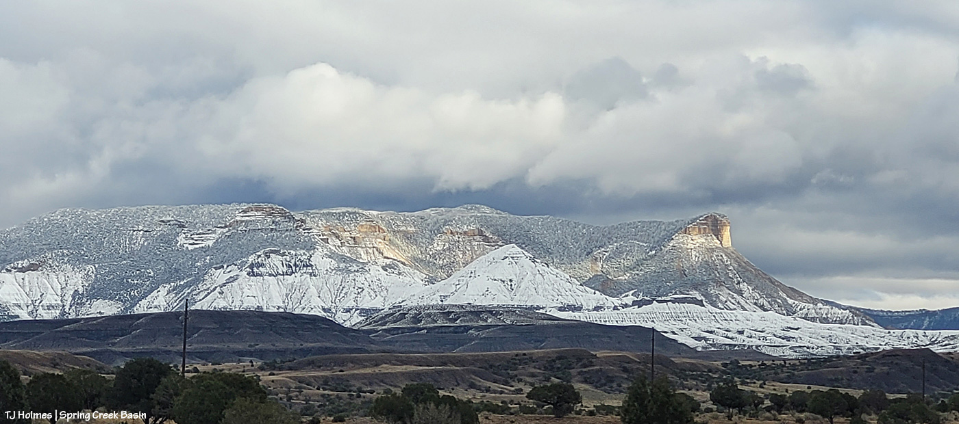
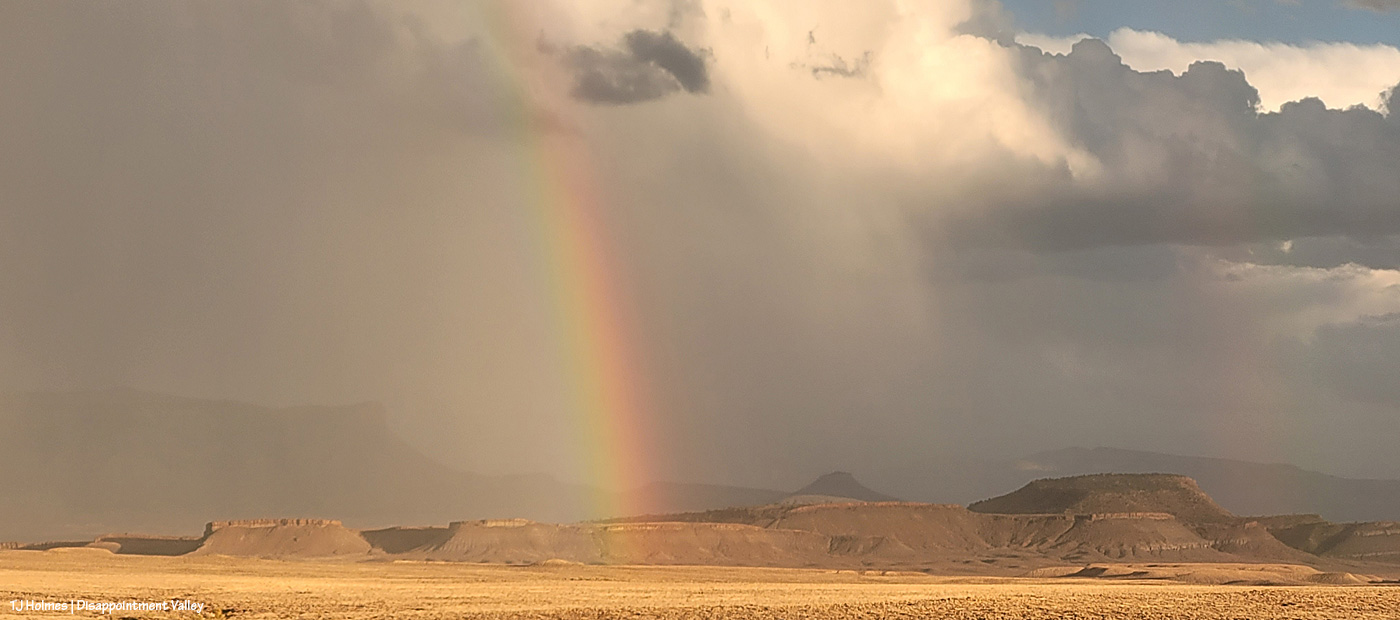
Temple Butte is visible again as the storm moves north.
This is NOT part of the original/above rainbows; it was a newly formed prism as the rain continued to pass and clear and the sun found space beneath the clouds above the western horizon. This stretch of Disappointment Road goes straight east.
After dark, we got yet another little wave of the good rain stuff. *Sigh of contentment*.
Maybe more overnight and in the morning. (Fingers and toes all crossed!)
I mean … RIGHT?! 🙂 Magic, folks. Pure magic. No artificial ingredients added. 🙂