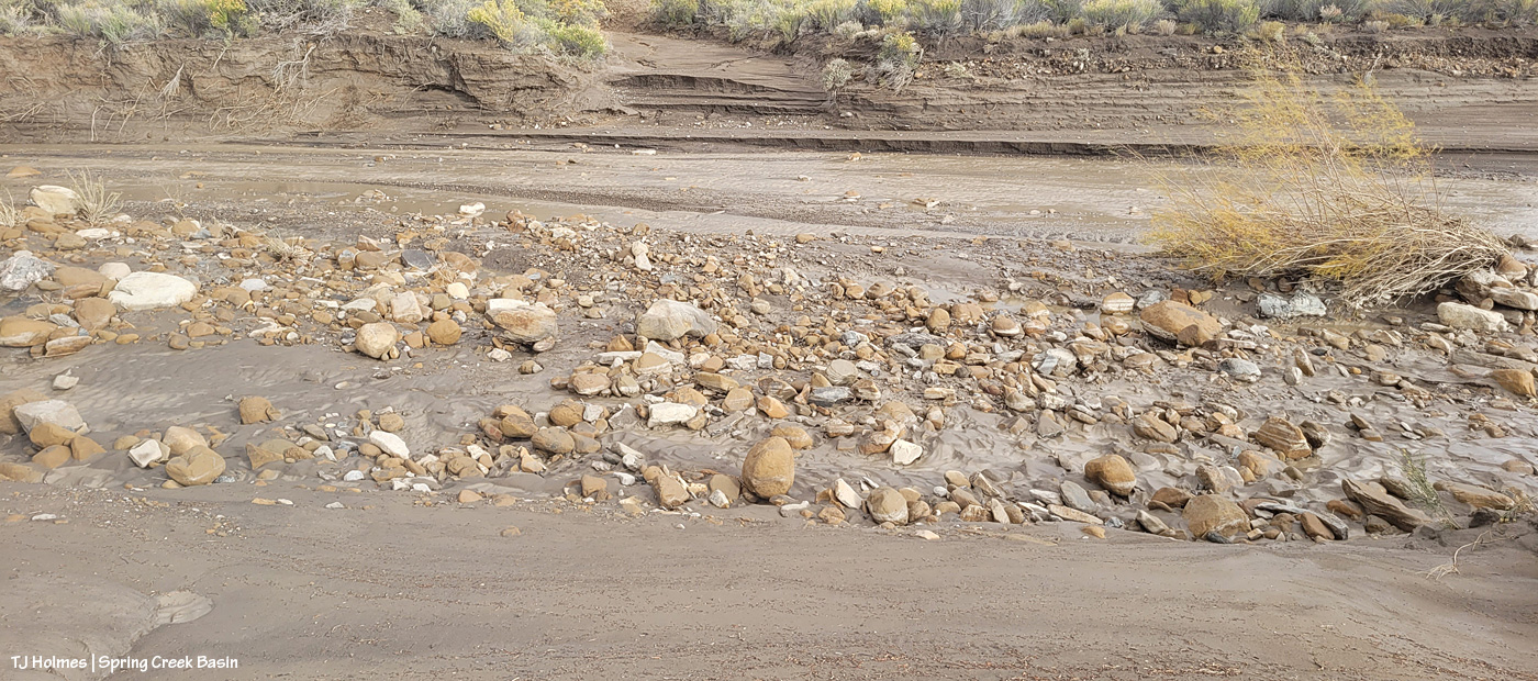
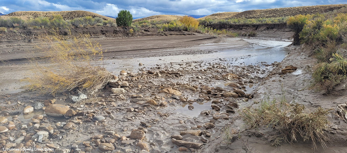
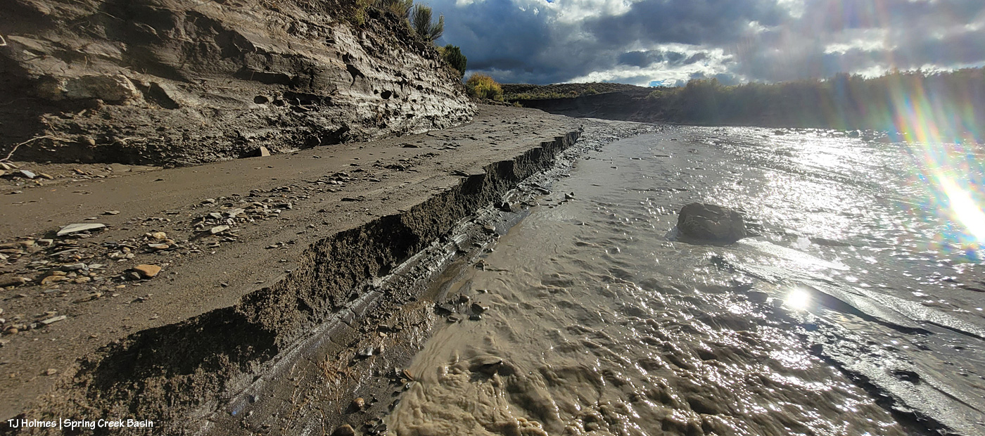
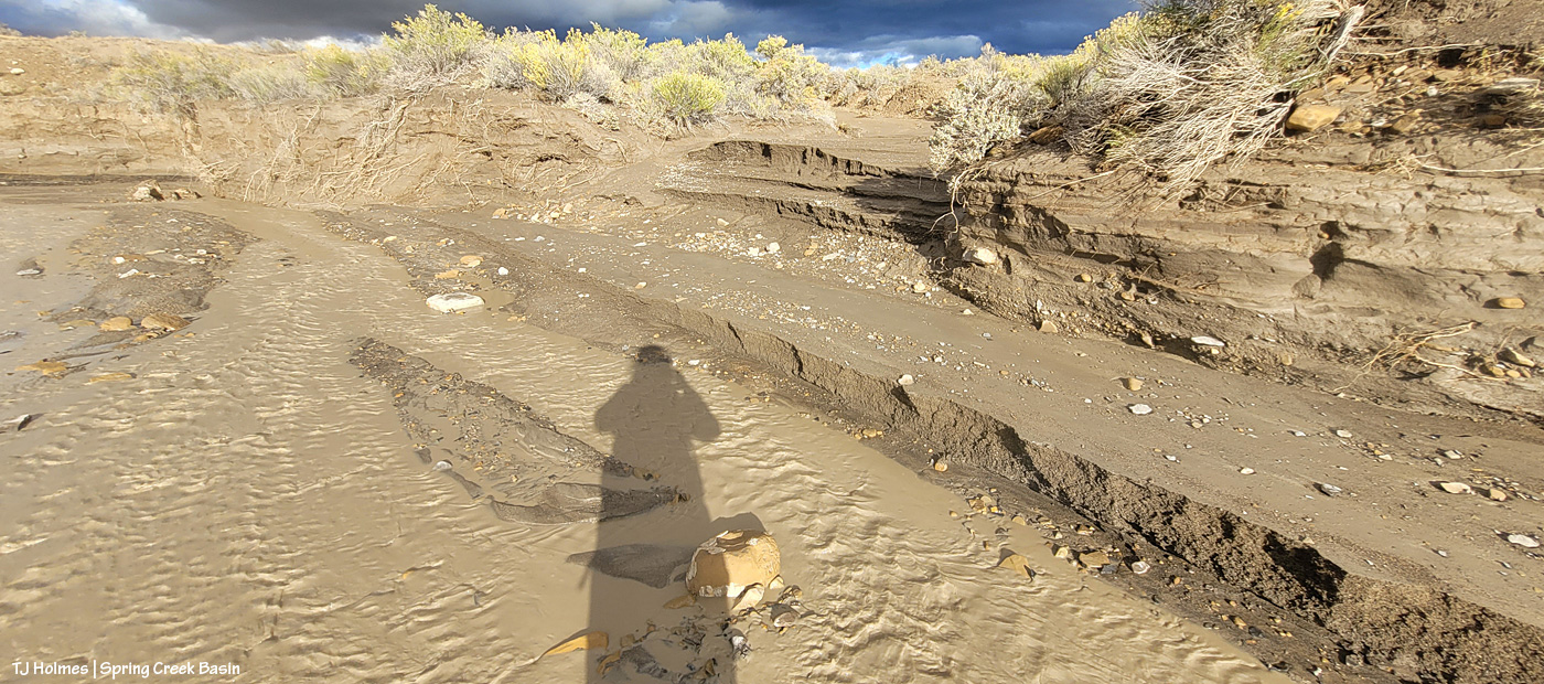
Buckeye and his band knew exactly where to find relatively fresh water trickling down this rock arroyo, where it fills pools and puddles and tinajas along the way. I LOVE seeing the horses find new water. It doesn’t last long, but the fact that it’s there is, really, just cool.
The perspective is weird, but this is looking DOWN the rock arroyo. The bright part is the reflection of clouds in the water of a tinaja in the rock.
This looks like a bigger scene than it actually is. It’s actually only a couple of feet from the little “waterfall” – which is only maybe 6 or 8 inches tall? – to where I’m holding my phone along the little rock wall on the left. Is it cool or what?! (It looked a lot cooler in reality; it loses something in translation to still image.)
This twin-trunk cottonwood is downstream from the rock arroyo. I wonder how far under the soil surface is that bedrock? Not far downstream is another cottonwood, still very green-leaved!
It doesn’t look it, but all that ground is very nicely damp to downright muddy.
Another gorgeous post-rain day in Spring Creek Basin. 🙂
At least one part of Disappointment Valley got 1.35 inches of rain over about 16 hours yesterday (it started around dark Friday and ended mid-morning Saturday). Every minor ditch and arroyo to every creek bed (Disappointment, Spring and Dawson creeks) ran with water. … LOTS of water. None had been running previously; all had been dry.
While a lot of water ran off and away, there must have been a fair bit of soaking in; the rain was all fairly light and decidedly steady. The ground and the road into and in Spring Creek Basin are all SOGGY.
Come along on this virtual tour with me – yesterday late afternoon – to see what I saw:
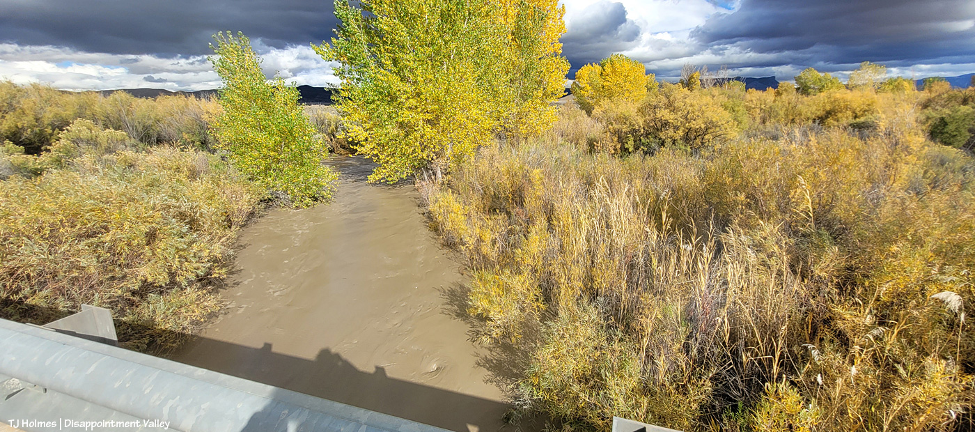
It’s hard to tell either how wide or how deep the water is here in Disappointment Creek several miles up-valley from the turn to Spring Creek Basin off Disappointment Road, but given that it was previously dry, I *hope* you can see that it’s running like a milk-chocolate river. This is looking upstream.
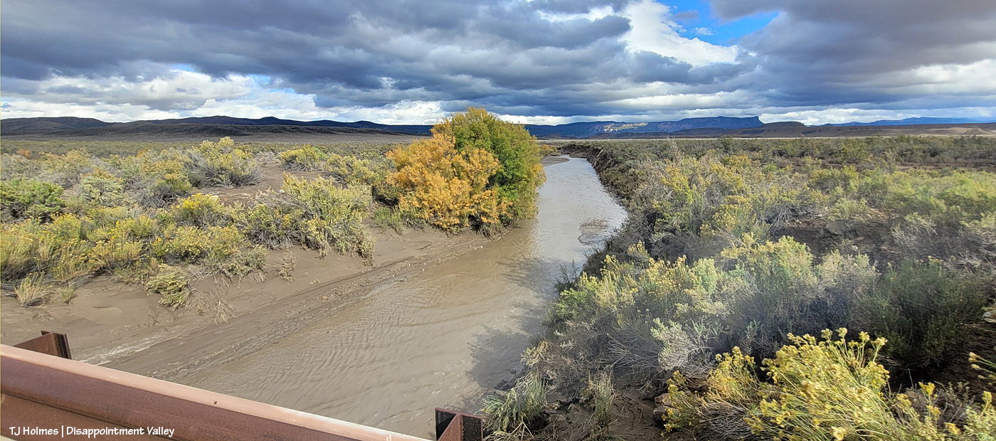
Another view, from several miles downstream of the above image; this is just 50 or 75 yards south of the road to Spring Creek Basin. The creek channel is much narrower here; I hope you can tell how high and wide the water is?
Now we’re looking upstream at Spring Creek water flowing downstream (toward us) from Spring Creek Basin, a few miles east (Temple Butte is visible against the horizon). (I’m still on Disappointment Road, a mile or so north of the above Disappointment Creek pic.)
And, from the other side of the bridge, Spring Creek flowing downstream toward its confluence with Disappointment Creek (marked by the line of barely visible golden cottonwoods in the middle distance).
I know it’s hard to tell width and depth again; the creek arroyo here isn’t terribly deep, but it’s three or four times as wide at this point as in the second pic of Disappointment Creek above. These creeks carried a LOT of water yesterday.
Then I went looking for the condition of the Spring Creek arroyo in Spring Creek Basin (in case this isn’t obvious, Spring Creek and its tributary arroyos drain Spring Creek Basin – when it rains – and the main Spring Creek arroyo carries all that gathered water west across Disappointment Valley to join the also-muddy water of Disappointment Creek, and together, they carry the watershed’s drainage to the Dolores River).
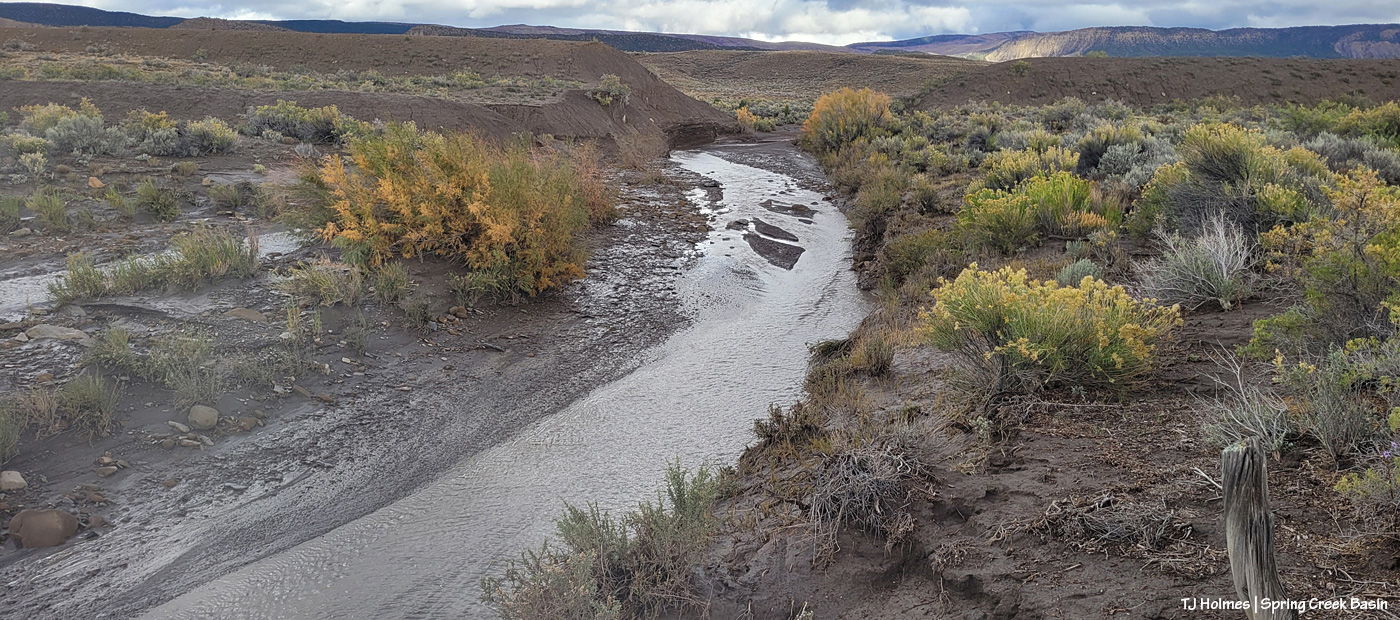
I thought you all might like to see a bit different view of Spring Creek, and I had to walk the last half-mile or so because the road was still too mucky even for my faithful little buggy, so this is just upstream and around the curve from the first crossing, where I usually take pix of rolling Spring Creek after a good rain. If you’ve ever gone into the basin with me, you’ve heard the story about Custer dam (and I even wrote a bit about it earlier this year). This image doesn’t show it well because of the background, but if you look on the left and right sides of the image above the water, you might see that the ground is abnormally straight/flat? Those sides are what remain of Custer dam (marked on maps). The brief story is that around 1900 (?), someone(s) put an enormous amount of work (and likely money) into building a dam to contain water from Spring Creek (the lowest/central arroyo in Spring Creek Basin) and the north and south *major* arroyos that feed into it (and a whole lotta other arroyos feed into all of them). The people also built at least a few miles of irrigation ditch. The story goes that the first major storm after the dam was built burst the dam. As you can (maybe?) see in the pic above, Mother Nature prevailed. (Who could possibly think this country is farmable?!)
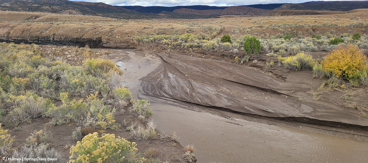
Now I’m standing atop the south side of the dam looking downstream and westish. Just around the bend to the right is where the road crosses (when the arroyo is dry). It’s a weird perspective, and though I thought this would be a great perspective, it proved difficult to actually show. The road tops the area at the far (north) end of the dam, which is more to the right than “straight” across, but it’s only … 150 yards away, maybe? Or maybe it’s that from the far side part of the dam.
Now I’m down at the bend that you can see in the above pic, still looking downstream at the road crossing. You see it, right? Where all the rocks are at the left side of the pic. The road crosses the rocks, the arroyo and up the other side to the right.
Sorry, how about now? 🙂 Straight across. This should look familiar. … Well, except for the increase in rocks and the far side, which looks a bit like a wall. …
Looking upstream, there’s the curve where I was standing a couple of pix ago, looking to where I’m now standing.
The water, I should mention, had greatly receded at this point. This is probably some five, six miles (??) upstream from the first Spring Creek pix I showed toward the top of this post. I found evidence that the water reached probably at least another 20 yards up the road where I approached, from, say, the middle of the arroyo. It would have looked most definitely like Spring RIVER at its highest/deepest point. Spring Creek runs ONLY when we have a major rain event. … And when all that water from all that rain is done, so is the “creek.”
I’m gonna need my shovel. Again. 🙂
Are you tired? We’ve been walking around, in the super-mucky mud, in calf-high mud (or muck) boots. And we still have to hoof it back to the buggy. I was whupped.
But you can never, ever, ever beat that view. 🙂 Especially rain-dampened and -darkened. 🙂
I can’t wait to get farther in and take a gander at ponds. SURELY the mustangs have multiple water sources now. What an amazing deluge of rain. Much needed.
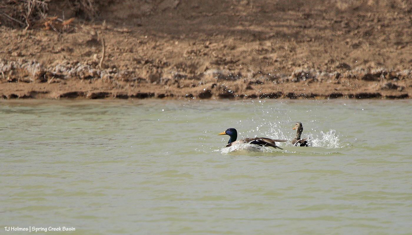
This duck is an American wigeon and was with his presumed mate (below) on the same pond where I found the mallards in the previous post. I’m not sure whether they were the third pair I had seen earlier; when I took this pic and that of the female, I was on my way back past the pond after visiting with a band nearby. I didn’t quite realize they were different ducks (not mallards) until I saw the pix on the computer!
The temp dropped with the moisture Thursday night, and the wind didn’t relent, making the ponies’ still-fuzzy coats much appreciated, I’m sure. 🙂 This pond is one of two in the basin that currently have water, thank goodness.
I keep saying I’m not a bird photographer (I’m really not!), but birds keep finding their way in front of my viewfinder lately. Who am I to NOT try to photograph them?
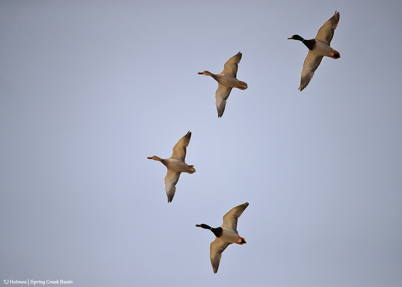
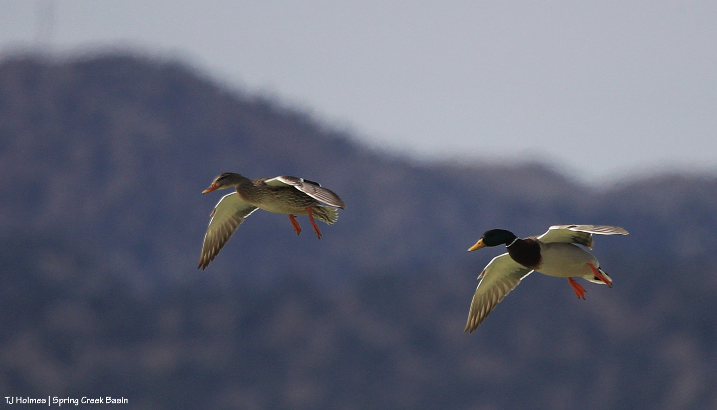
These four mallard ducks (two drakes, two hens) were with another pair on one of two ponds in Spring Creek Basin that currently have water (which is in itself something special, given our dry conditions). They took off when I approached … and circled … then came back to land.
Super bummed that this shot is out of focus, just as one pair of ducks was landing on the water. But I love the position of their wings, and so I say it’s worth sharing.
This is another pair – landing flaps are down and ready!
Just about to touch down …
And splash landing! I caught the actual contact with the water, but the drake was blocking the hen, so I liked this image better. Watching them drop right over the pond and into the water is a lesson in flight dynamics, I’m sure! Not quite vertical, but it was a much steeper approach than I expected.
They (not necessarily these specific birds) are visitors every year … and every year, it surprises me that they’ve managed to find these spots of open water in the desert. Love having them. 🙂
Better late than never, and when I finally got my act together, I thought Valentine’s Day would be the best day for this rundown.
As usual, these are 12 (and a bonus) images from the last year that came from each month. This year, I think, most of these photos have been on the blog previously. A little reminiscence of the events surrounding each image will follow the photos. Sometimes it’s those emotions and memories that make a particular image special for the photographer, and these are no exception to that. Just being out with the mustangs, in Spring Creek Basin, no matter the weather, is the very best part of what is impossible to share.
Enjoy … and please consider this is my love letter to Spring Creek Basin and its mustangs from 2024. 🙂
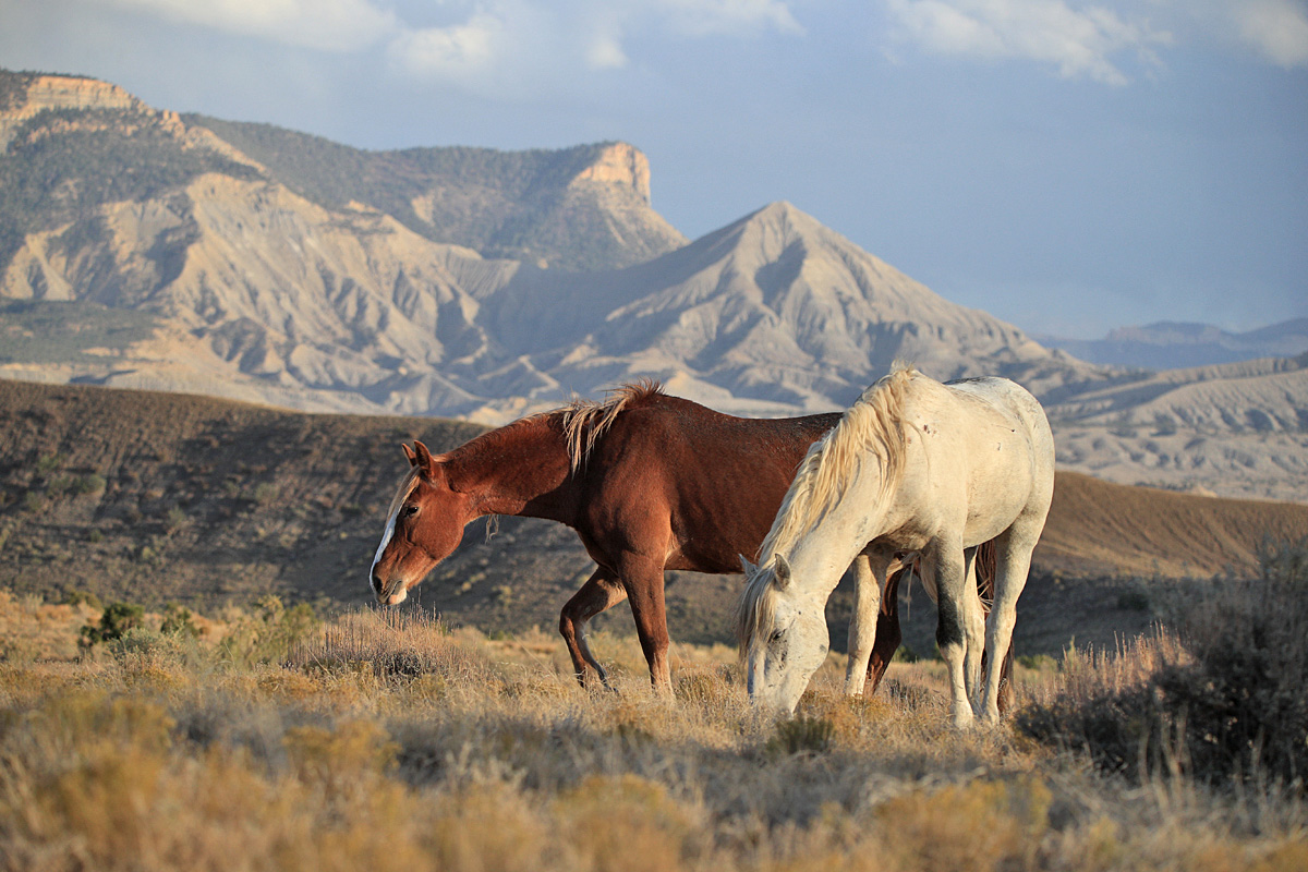
January last year was at least somewhat snowy (this year was very much NOT snowy). Skywalker had been a bachelor with a couple of bands until sometime last year, and here he is with some horses from one of those bands. Completing the composition is part of the Spring Creek canyon rimrocks in the near background and Utah’s La Sal Mountains in the far background. (I wish they were that snowy this year.)
This was a magical February visit with Mariah and her band. The low-angle sunshine made each snowflake a visible bit of earthly magic, and when she looked back at somebody – shazam. Magic captured.
Couldn’t pass up this snowy March day in the basin with Temple! Clearly, she had been enjoying the moisture and excuse to roll in the mud. I love the sunshine on her and the falling snow blurring the background.
I had so many opportunities with the mustangs in April, but this image of Hollywood was just *the one*. You all know exactly what I mean. (To update, I haven’t seen him again since the image I posted earlier this winter. It doesn’t mean anything other than I haven’t seen him. …)
When Spring Creek is running with rainwater, that is a time not to miss photographing it because it doesn’t happen often and water doesn’t run in the arroyo bed for very long. When Skywalker moseyed to the edge of the creek in May, just upstream of the canyon, the scene came alive with story: mustang drinking from an ephemeral stream in the desert.
In June, I was lucky to catch Sundance’s band near Odin’s band … and luckier still to see Sundance and Odin having a friendly little chat! Elder stallion and growing young stallion; what a moment. I’d love to know what wisdom Sundance was imparting to young Odin.
Terra’s stallion adores her. And I mean *adores* her. They travel with another band, but Venture has eyes only for Terra. This image is from July, when it’s hot and dry and the horses just like to doze.
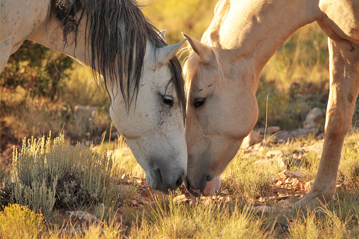
Personally, this is one of my favorite images of the year because those are two of my favorite stallions: Storm and Buckeye. With their bands grazing nearby on this warm August evening, the boys greeted each other quietly and respectfully before returning to their mares.
Here’s your Valentine’s Day image, taken last September. 🙂 Buckeye and Rowan, especially, seem to have a special fondness for each other.
After Storm lost his band in October, the mares went through a couple of younger stallions that couldn’t seem to keep them. Flash ended up with Gaia … then also with Mysterium. And finally, as you know now, he gathered all of Storm’s girls (which, I think, probably was due more to them wanting to be together and evading the youngster that had them than to any particular skill Flash had at stealing them!). (I’ve seen Storm just once since he lost the band, way deep in the southeastern part of the basin.)
Last November, we had some great snow, and we were so optimistic for the winter to come! … And that was pretty much it. Here it is February, and we’re desperate for moisture of any kind while we watch the dirt turn to dust, to powder. But in November, Terra was a gorgeous girl in the sunlit snow, and life was good.
We had more lovely light in December – as seen glowing around lovely Winona – but not a heckuva lot of snow.
And as usual, a bonus:
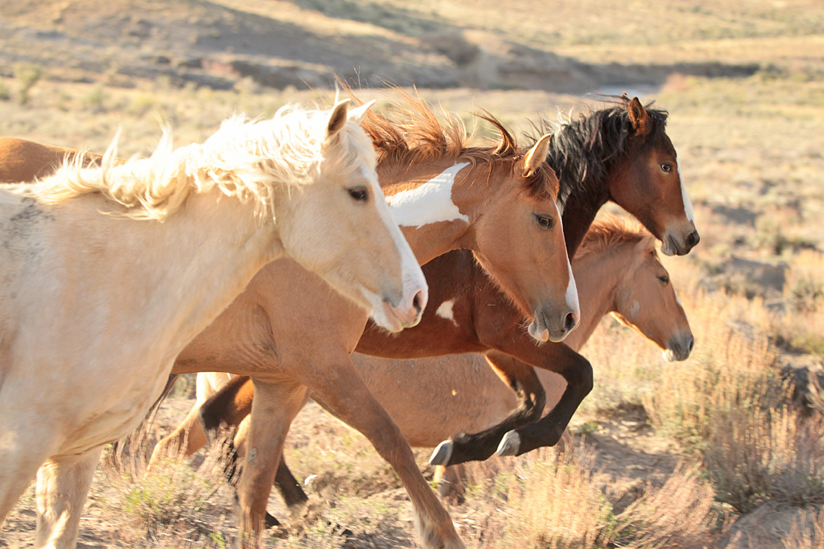
Buckeye’s girls. 🙂 I don’t remember what caused them to run right past me, but I was stoked to capture this image of them nearly in a row, especially just as Bia was leaping a bit of sage or saltbush!
Thanks for following along, happy Valentine’s Day to you and your loved ones, and if we can have a bit of a love(ly) wish … more snow, please! 🙂
*** Update Friday morning: Disappointment Valley is getting RAIN! Not snow, RAIN. In February. In Colorado. Well, you know we’re in desperate need of moisture, so I’ll take it. (But 38F is hard on the wildlife under rain.)
When I was a young Coloradan, newly moved to Durango from Texas, my then-co-workers at The Durango Herald can attest to the fact that the first time snow fell that winter, I went a little bonkers with excitement.
Not much has changed, 22-plus years later. 🙂
We had another great (rain to) snowfall overnight, and it was a wonderland of white this morning – and muddymuddymuddy underneath. The snow is nearly all melted – at least down-valley – now, but rather than wait for tomorrow, here’s a peek at the Thanksgiving-Eve bounty in Spring Creek Basin:
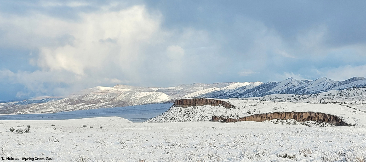
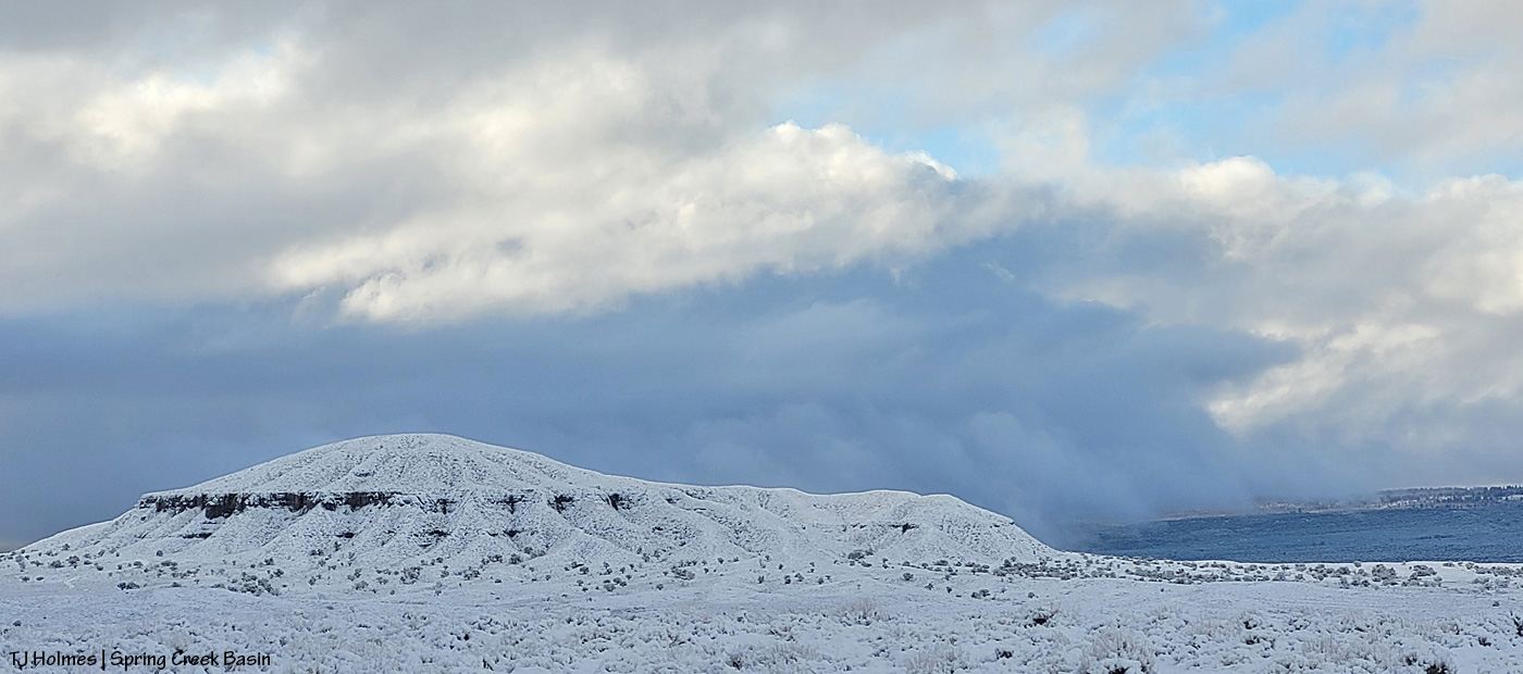
Shortly after sunrise, Chrome’s Point, looking south-southeastish. Flat Top and Round Top are at left in the distance, and Filly Peak is at right.
Looking back north-northwestish, the difference in light is dramatic (this was maybe only 10-15 minutes after the first pic?) as the clouds linger at the higher elevations south and east of Spring Creek Basin and have started clearing to the west and north (though the mountains were engulfed in clouds the whole time I was out).
Holy heavenly light. If I’d been able to see that spotlight of light, with my own eyeballs, at the time, I would have brought out the big gun (these are all from my phone – handy little pocket cam that it is). Wow. Knife Edge is ahead to the left; Brumley Point is visible at far right. Temple Butte and McKenna Peak are still completely within the clouds.
Round Top – aka Saucer (as in flying) Hill – with snow still pouring from the moisture-laden clouds to the southern ridges of Disappointment Valley and beyond to the Glade.
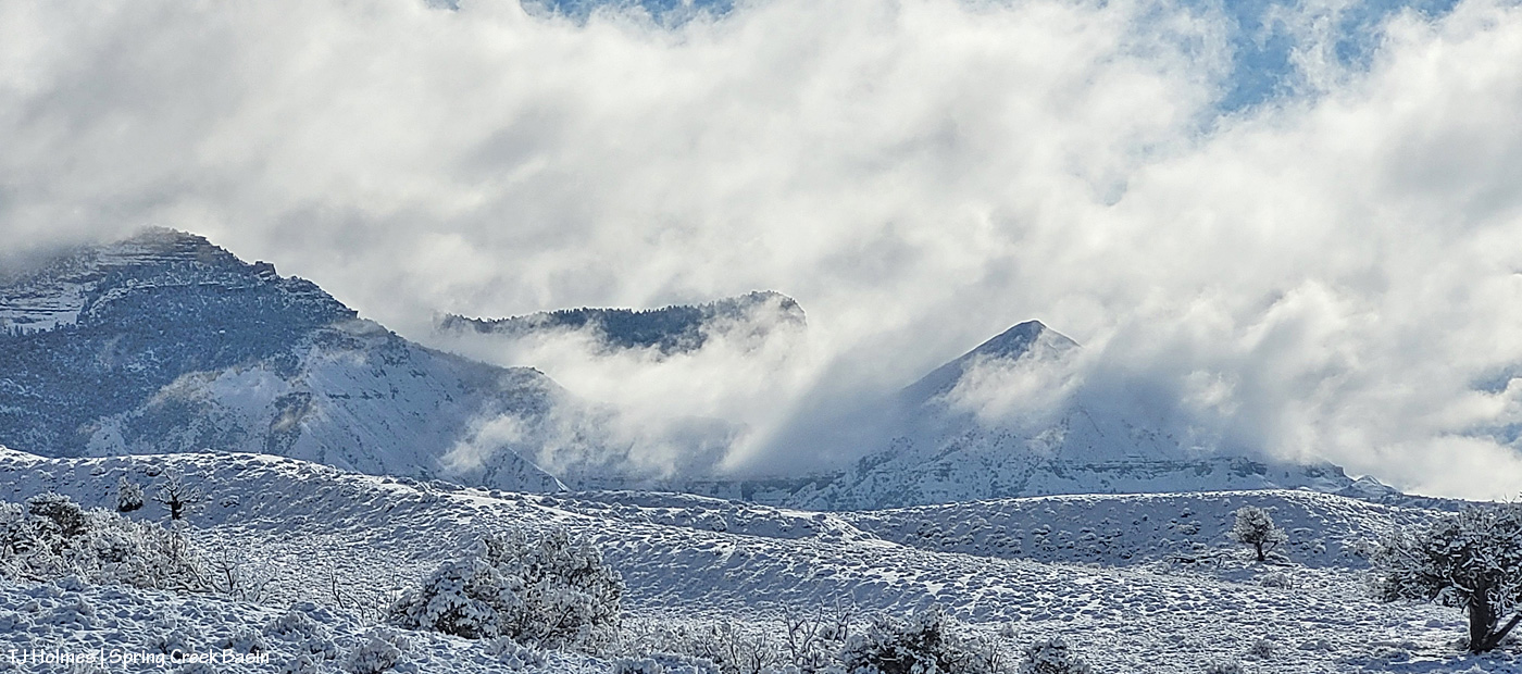
I was just below the base of Knife Edge with mustangs when Temple Butte and McKenna Peak were starting to emerge from the still-billowing clouds. Dramatic much?!?
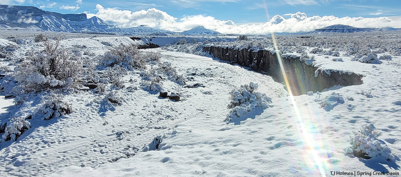
Heading back to my buggy and the road, looking upstream at the Spring Creek arroyo toward its source at McKenna Peak … Temple Butte behind it … submarine ridge to the right … Brumley Point straight ahead (it sits right on the basin’s southeast boundary) … Round Top at far right. Water WAS trickling through the bed of the arroyo in some places (like where I crossed).
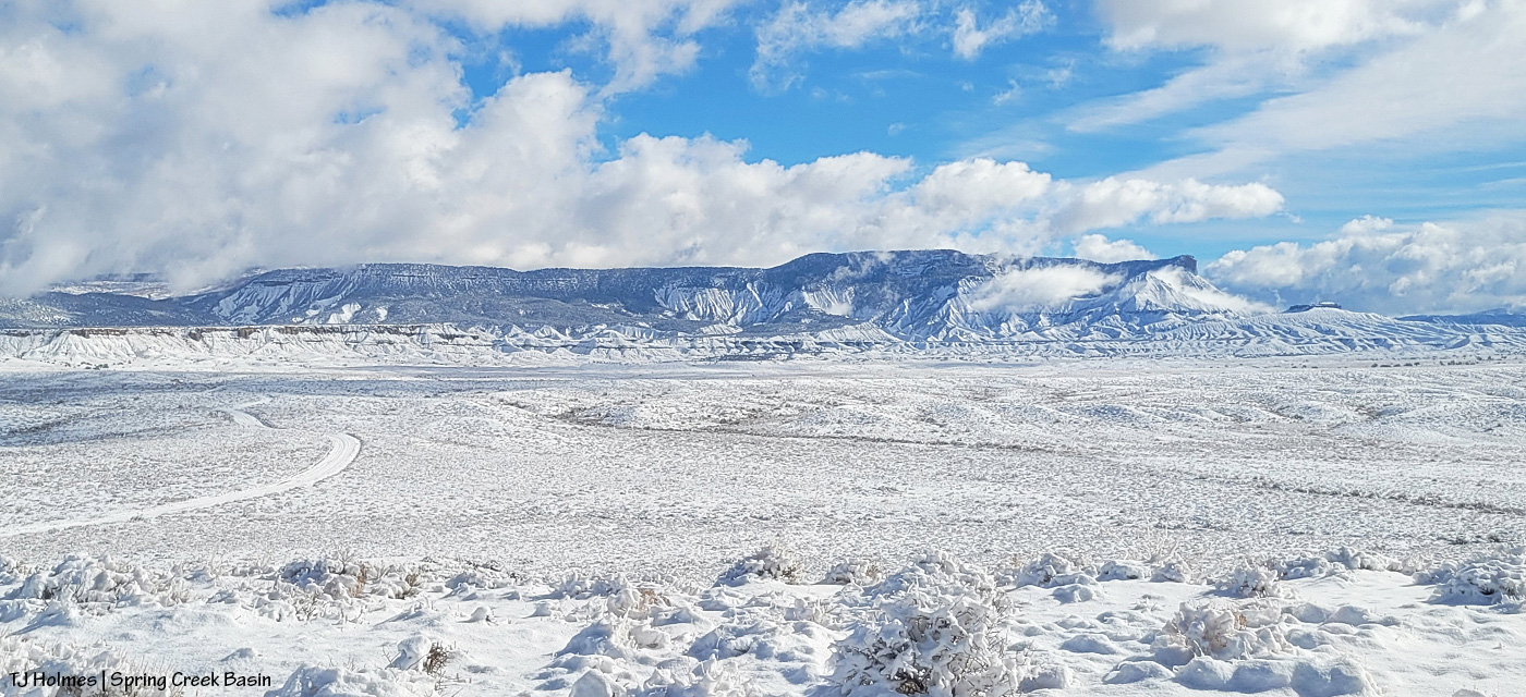
From the ridge at the main/original water catchment (oh, how I hope this snow provided lots and lots of water for our catchments!), looking eastish across the basin. I mean … who DOESN’T get giddy at the sight of snow?! 🙂 Knife Edge is the ridge at far left with the top rim just barely free of snow. See the trees at the base of the ridge at almost farthest left? That’s where the ponies are (the ones I visited, anyway).
This one’s a little out of order, but it sums it all up. 🙂 I love mustangs; I love snow; I love Spring Creek Basin and its mustangs in the snow!
That’s our water. Our moisture. Our lifeblood for growing things.
So, so, so, SOOOOO grateful this Thanksgiving Eve. Happy gratitude to all you wonderful readers and your families on this, my very favorite holiday. Hope you all get to spend it with those you love, in places you love. 🙂
Hold onto your paddles, folks, have I got some rainwater for you. 🙂
Brought to you courtesy of Mother Nature –> Southwest Colorado –> Disappointment Valley –> Spring Creek Basin:
A full water-catchment trough is always a good sign. Fortunately, though low (in the tank, uphill behind me), we’ve had enough rain lately to keep this trough full – and there have been a fair number of horses drinking here with the amazing grass around (don’t let the pic fool you; the galleta, in particular, is bonkers this year, along with the alkali sacaton). I may have explained this in the past, but it bears repeating: The triangular sheet of metal over the trough is an evaporation cover, designed to help slow evaporation of precious water in our (usually) dry climate. The shape of the cover is triangular so the horses have plenty of room to drink at the sides of the round trough.
The Flat Top pond looks small in this wide-angle view looking eastish across Spring Creek Basin, but although it has gotten pretty shallow in recent years, it’s a pretty good size.
Good thing I scouted the V-arroyo before I tried to cross it. Those are my tentative footprints in the pillowy, shoe-grabbing – and tire-stopping – mud in the center bottom of the pic. You might not think it’s too bad, but there’s a lot of water in/under that surface mud still, and it is NOT friendly to tires or shoes until it has a chance to seep deeper into the soil and dry out from the bottom up. Along the left side of the pic is the arroyo – we’re looking upstream. The bottom of the arroyo, where I’m standing on relatively firm ground, isn’t very wide (hence my name of the “V”-arroyo), and the road rises to my left – up a little water-carved bank that’s nothing like the wall still in place on the other side of the first Spring Creek crossing.
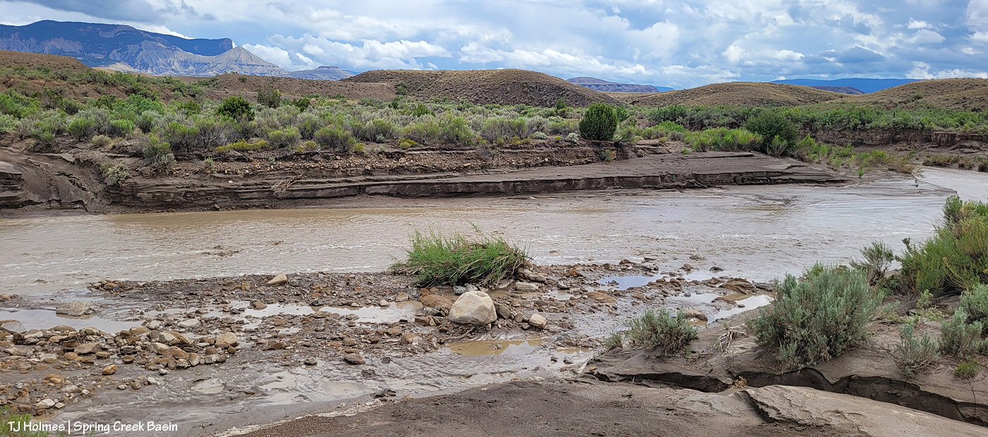
Holy Spring, err, RIVER! I know it’s hard to tell, but this is the first crossing of the usually-dry arroyo that is Spring Creek (when it’s not masquerading as a rainwater-swollen river). Yes, the other side is a road. 🙂 Well, it’s mostly a two-tiered wall; the right side of it is where I dug a channel in the wall the last time the creek ran (back in June) so I could get my ATV across and up and over. It has been widened by crazy people in a truck (I don’t know who … I don’t know anyone that silly/stupid/nutso), but it’s greatly eroded again and is going to need some custom shovel work. (And lowering of the water level. :)) The width here is probably about 25 yards? (Good darting distance.) And this water level is at least 4-5 feet below where it was at its highest/widest mark, behind me, so it’s already running with less volume than at its peak. (WoW!)
I took a lot of pix from here, and I wish I knew how to embed video; I’m still on a super-high from seeing all that water. Bear with me as I show you some upstream and downstream and high-vantage pix. (If you don’t think water in the desert is A BIG DEAL, you don’t live in a desert.)
Looking downstream. Note the two-tiered wall across the creek where the road is (should be). Most of the rocks at left are from previous flooding. But I will tell you, that kind of water can move BIG rocks. I have seen it, and I have moved big (enough) rocks out of the way of crossing in a vehicle or ATV. This is why the powers that be warn people against crossing flooded roads; that water literally grooves arroyos into our salt-desert landscape (milennia ago, this was under a giant ocean!).
Arroyo as defined by Merriam Webster: plural arroyos. 1. : a waterway (as a creek) in a dry region. 2. : an often dry gully or channel carved by water.). … Arroyos are a desert’s proof of water movement – that far bank/wall is much taller than I am. The wall where the road used to be is proof that they’re always changing – with more water.
Looking upstream. Note the water at far right; it was still finding ways to trickle along downstream.
A bit wider view from back up the road a bit. I mean … ?! 🙂 I knew, before ever I got there, that I wouldn’t be able to cross, but I did NOT know how river-esque Spring Creek would be. I love, love, love this place.
Similar view, but this shows the bend in the creek at right. … Try to follow me upstream: See McKenna Peak (the pyramid-shaped pointy peak)? Way back there is the source/start of Spring Creek, which – as you all know, being loyal, wonderful readers of this blog – drains Spring Creek BASIN (along with all its multitude of widely (and narrowly) and wildly variable tributary arroyos). As you may or may not know, the creek doesn’t roll in a straight line from there to here (or beyond/behind/downstream of me). So that bend goes around to the left – upstream of the southernmost *major* drainage/arroyo in the basin – and past another creek/arroyo crossing (below the dugout, if you’ve visited). It comes from the eastish side of the basin – with the northernmost *major* drainage/arroyo entering from the northish to also run back to (really from) the northeast. Are you still with me? There are three *major* drainages in Spring Creek Basin with Spring Creek being the lowest, middle drainage – named as the very-most-major drainage and namesake of the basin it drains.
Water is important here. Knowing how it flows is part of the importance. Back in the very-long-ago day, some other silly people – who apparently didn’t know about arroyos and the highly-erodable quality of the salt-desert soil – tried to dam Spring Creek just below the confluence of the third major arroyo. Thinking they would create a reservoir out of which to irrigate land for farming (what WERE they thinking?), they built a dam and dredged miles of irrigation ditch; the remains of both can still be seen. As the story goes, the first major rain of the (likely monsoon?) season brought water rolling like a river down every tiny arroyo, down to and through the big drainages, blasted a hole in the dam that likely had cost boatloads of blood and sweat and resulted in tears (!) … and they went away *disappointed* (har har). … Mother Nature always wins, folks.
Well, I knew better than to attempt the crossing of Spring Creek Basin’s *river* (without more rain … which we’re getting again as I type … the creek would likely be done flowing within 24 hours … though the water will last in pockets and seeps for a good long while), so despite the big group of a couple of bands of mustangs not far away, I headed out, already on a great big, marvelous high.
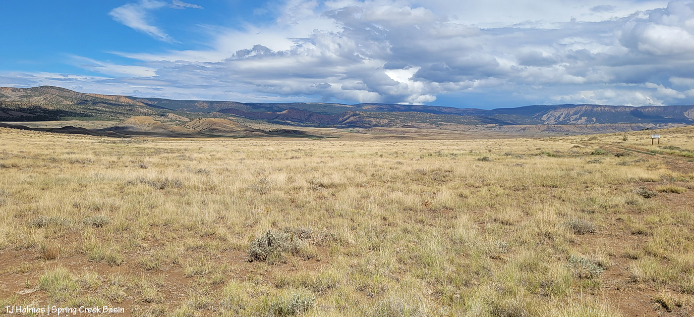
What you’re looking at in the pic above is our crazy-good grass, which amazes me because of the little – but always valuable – rain we’ve gotten this summer (this year, really; it’s been pretty darn dry since *last* year). The galleta grass is particularly bonkers this year, along with the sand dropseed and/or alkali sacaton (very similar in appearance). This is from right inside the basin’s main/western boundary entrance looking eastish.
From here, my next destination was the south rim of Spring Creek canyon, through which water runs out of Spring Creek Basin, out across lower Disappointment Valley and into Disappointment Creek, which delivers water – along with a “healthy” (aka large) dose of salt and sediment (apologies) – to the grand and spectacular Dolores River.
Spring Creek, draining Spring Creek Basin. 🙂 Around the near (left) bend, before the far bend, there’s a fence across the wide-open low ground and a water gap across the creek; that’s the basin’s western boundary. Way yonder, on the horizon, on the far side of the farthest rimrock and even beyond that blue-grey tide of rain, is the south shoulder of eastern Utah’s La Sal Mountains.
Not even my phone’s widest angle is wide enough to take in all the gorgeousity of Spring Creek through its canyon, so here’s another bit of view that takes in more of the upstream canyon area. Spring Creek Basin stretches north (straight ahead of me) and east (to my right) and south (behind me) from this perspective on the canyon’s south rim.
Those layers. The canyon is neither super deep nor particularly long. But it is so gorgeous.
In just the short time I walked out and spent along the rim, the storm to the west was already passing.
Looking upstream across the heart of Spring Creek Basin, where another storm loomed on the northeastern/eastern/southeastern horizon.
And because this is a blog about the wild horses of Spring Creek Basin, there IS a mustang out there, though I’m not sure he’s visible. As far as I know, the young mister is the only one to have crossed the creek (within view, anyway). 🙂
Grow, grass, grow!
Better late than never (this was the last day of specific rain in the forecast). I think we can be said to have gotten some monsoon rains this summer. Despite all the worry leading to this day (yesterday), soooo amazingly grateful. 🙂
* Thanks to Charley Pride for the inspiration behind this post’s title – “(High on a) Mountain of Love.”
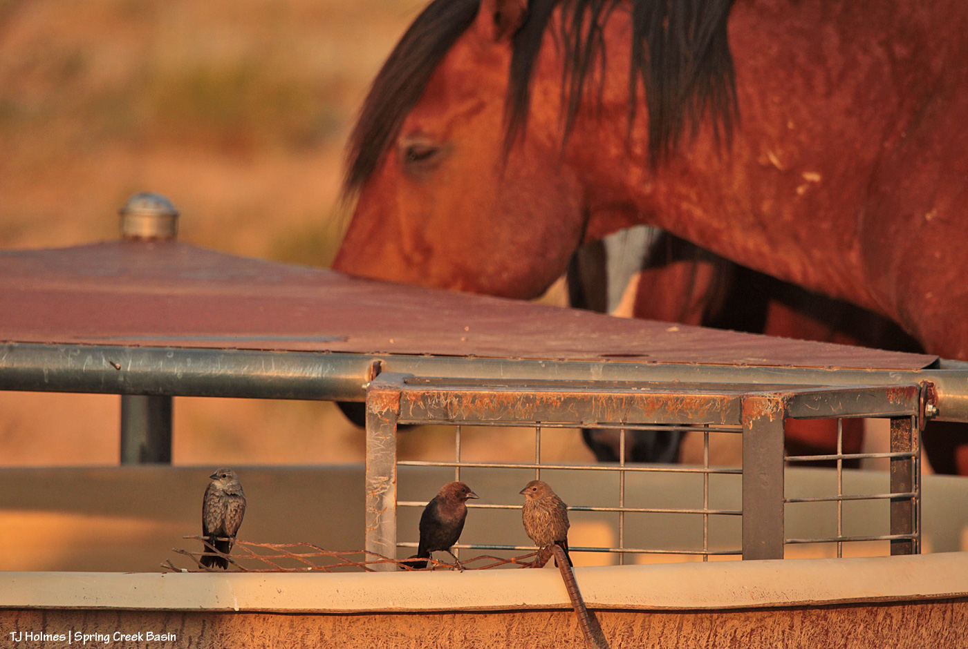
I *think* that’s a male brown-headed cowbird in the center, possibly flanked by females or juveniles. Please DO correct me if you know the correct ID. Birds – especially LBJs – aren’t even on my list of known-about critters.
Speaking of critters, they’re on the “critter ladder” in the trough at the main/original water catchment in Spring Creek Basin, built 20-plus years ago. The “ladder” is a bit of metal mesh that allows birds, ground squirrels – critters – to get to the water to drink without drowning. I was super tickled to see them using it with horses (that’s Tenaz in the background) napping around it after an evening mosey to the water cooler, err, trough. (All of the troughs at all four water catchments in the basin have some form of critter ladder.)
Fun bonus pic of the male actually standing on the rim of the trough as photographed through the legs of a napping mustang. 🙂
Everything in the wild needs water. Mother Nature could be a little (!) more helpful in the delivery of said water, but we do our best to ensure that it gets where it needs to go.