To remember how I did this post last year, I had to go all the way back to Valentine’s Day to find the post recapping the previous year (2024, then) in images. This year (for 2025), I’m happy to announce that for once, though I procrastinated, it wasn’t THAT long, and it was in plenty of time (OK, one day to spare) to make the Dec. 31 deadline.
Deep breath: This was a hard year. Last winter was rough (read: bad dry), which meant the rest of the year was rough (read: really bad horrible awful dry) in terms of drought. Monsoons didn’t hit their stride over Southwest Colorado, so we didn’t get much rain, either. Federal employees were hard hit, too, and one of our young BLM’ers was illegally fired from the new job he loved.
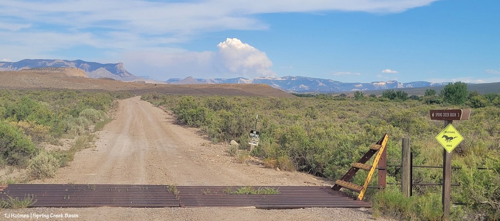
But we also had some good-news happenings: Thankfully, he was reinstated, and we have a strong range team in Ryan, Anton and Laura. We got some new signs installed, including the replacement of the old, sun-bleached, weather-beaten interpretive sign for the new information “kiosk” that greets visitors upon entering Spring Creek Basin. Fertility control (native PZP) continues to be an extraordinary benefit to our herd in terms of management and keeping roundups and removals at bay.
In wider Colorado mustang news, the BLM short-term holding facility at the Cañon City prison complex closed in November, BLM and Colorado Department of Corrections being unable to reach a contract agreement. That’s not-great news in terms of uncertainty for rounded up and removed Colorado mustangs. Where will they go? In semi-balanced decent news (?), all of the Colorado mustangs that were in holding there (about 100 at the time) were adopted or went to private sanctuary or are currently in foster situations for a planned adoption in March (and that all happened despite federal employees, including BLM’ers, being out of work (or working without pay) because of the government shutdown).
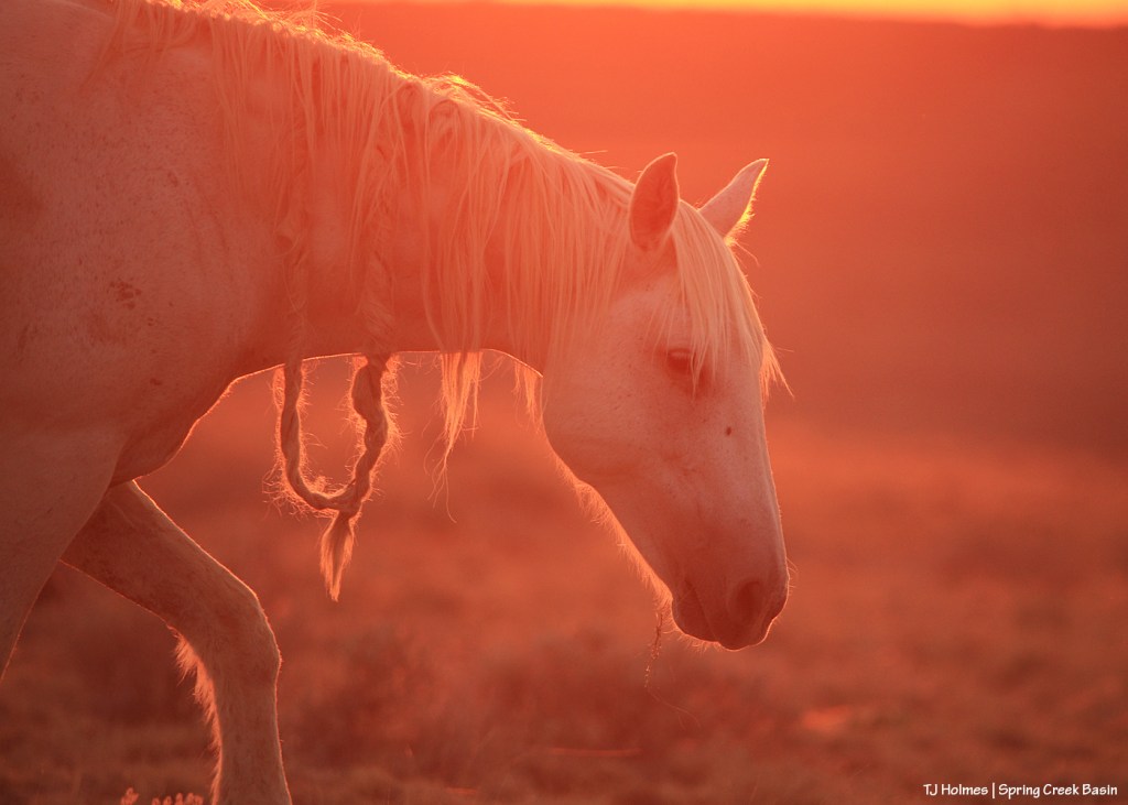
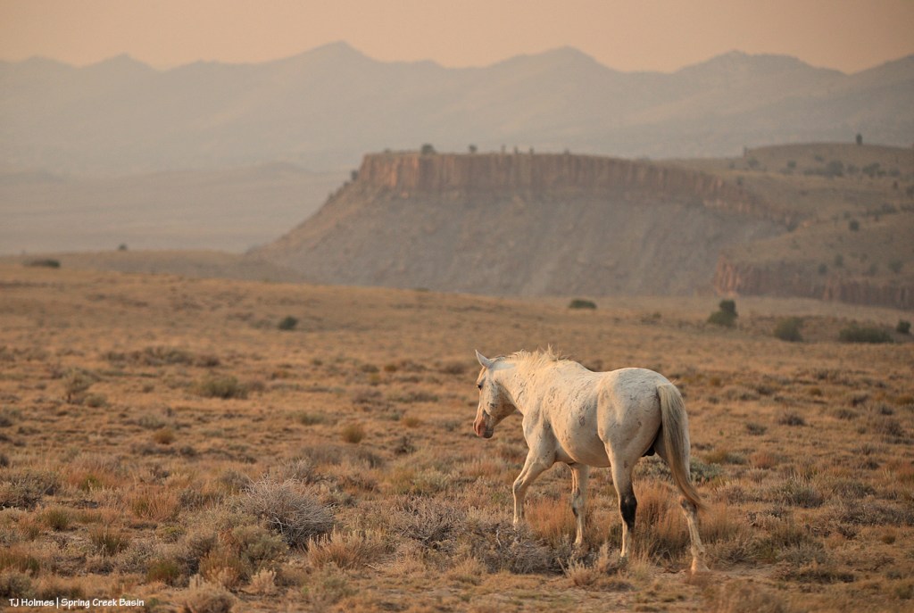
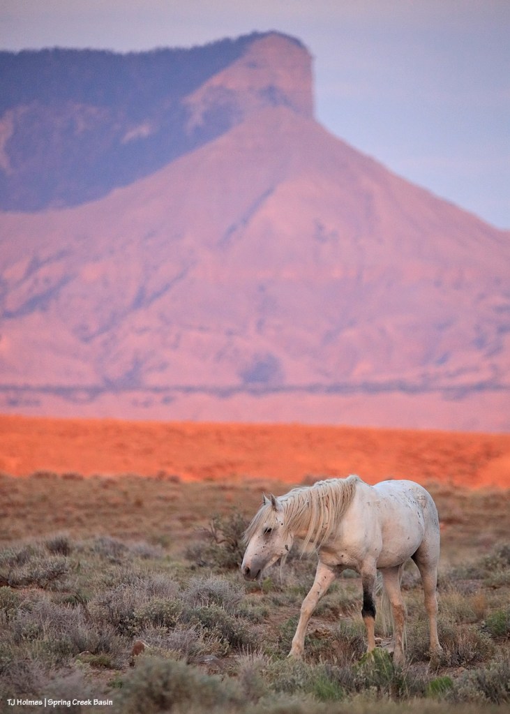
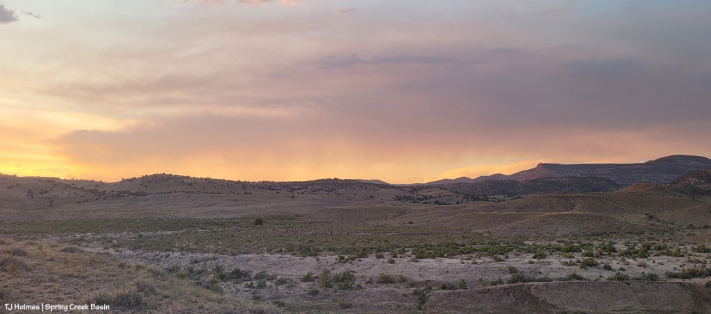
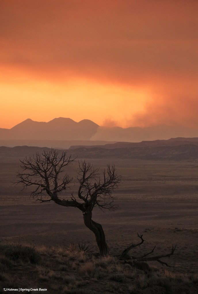
What follows is a pic from each month of the past year and a bit of reminiscence of what was happening when I captured the image of a mustang or mustangs. Many of these pix have been featured previously on the blog; some haven’t. If you make it to the end, there’s a bonus pic … one of my favorite of the past year.
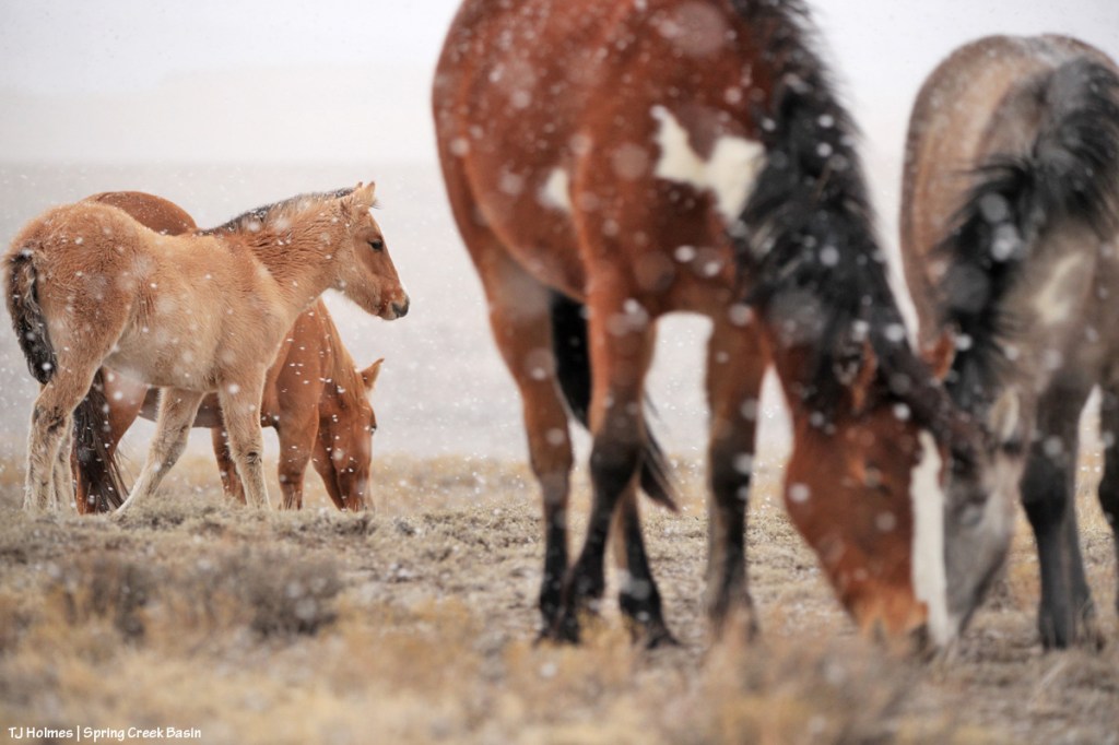
This is one of my very most favorite pix of the entire year. I love it so much, it’s the background image on my computer. I’m aware that I likely post a lot of images of Buckeye’s family; you won’t be surprised to know that they’re among my most favorite mustangs. I considered this image as the *bonus* image … but it was one wildly beautiful day of snow (well, I was out with the horses, watching the snow coming for at least two hours before it finally reached us), and it didn’t match the otherwise very dry *year*. … So it gets the January title.
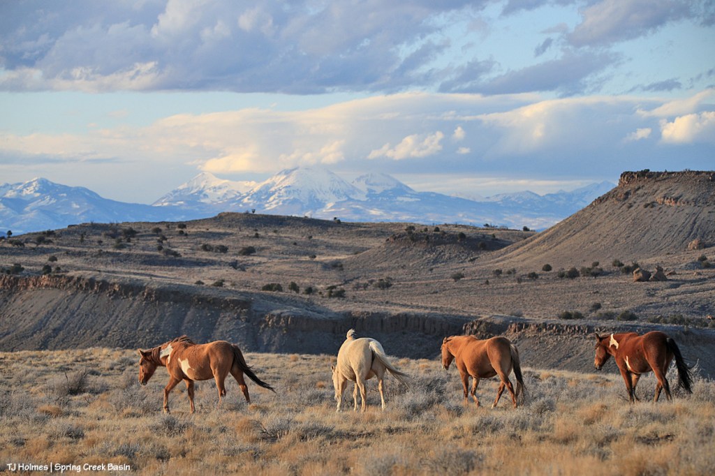
Did I say that I love Buckeye’s family? You can forgive me for singling them out, right? The three mares weren’t born here, but gosh, they are treasures from our sister herd in Sand Wash Basin, and I’m so grateful that we have them. And yes, that was February. Utah’s La Sal Mountains may not have been the *closest* snow, but we sure didn’t have much.
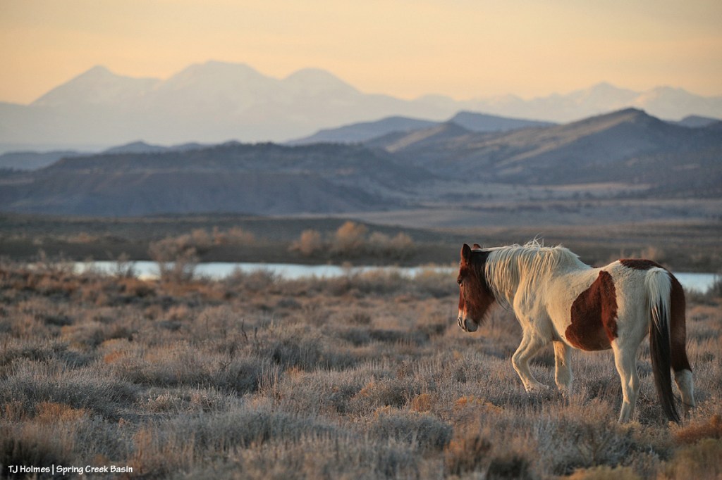
March is still fuzzy-coat weather with signs of approaching spring, especially in the high desert of Southwest Colorado. Fortunately, we had ponds early in the year. They’d all go dry before some rain this past fall put water back in a couple of them, including the one pictured above with Chipeta. This pond is nicely full currently – and has mustangs taking advantage of its water.
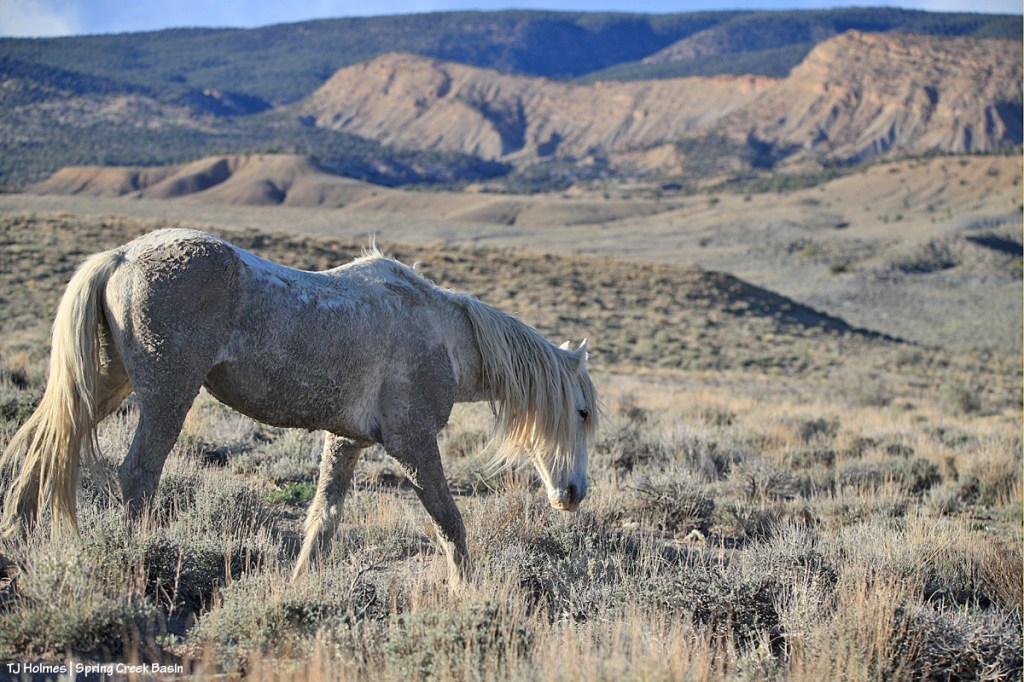
April found Sundance not far from the pond pictured above, and he still had his band at that time. Later in the year, he lost them, and he’s been by himself since then. He has wandered a bit, following vegetation and available water. The stately ol’ guy is still around … I see him now and then, napping in the sunshine or grazing on the side of a ridge.
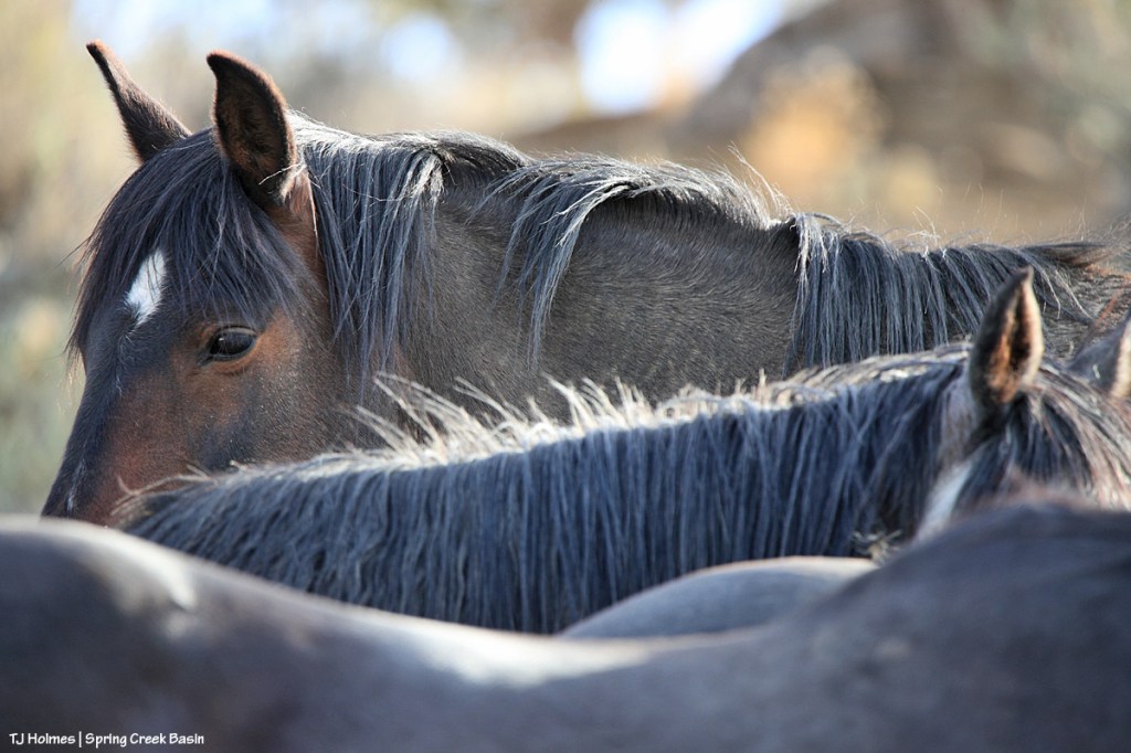
This wasn’t especially the best pic I took in May, but I love both the perspective and the sort of inside joke that Cassidy Rain always likes to be the farthest away from the two-legged. That day was a pretty warm one, and the band was in an area of basin where I rarely find them. It’s not a place with a lot of trees (in fact, there are very few), but they had found a couple, and were comfortable together in the shade near sunset.
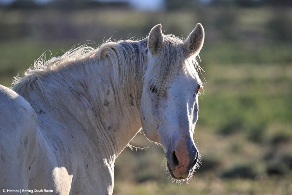
My best boy Storm made a brief appearance in the northern part of the basin in June … one of the first times I’d seen him since he’d lost his band the previous autumn. Bittersweet. I haven’t seen him since about July, when he was at a water source with another band as I was trying to shoot the rising moon.
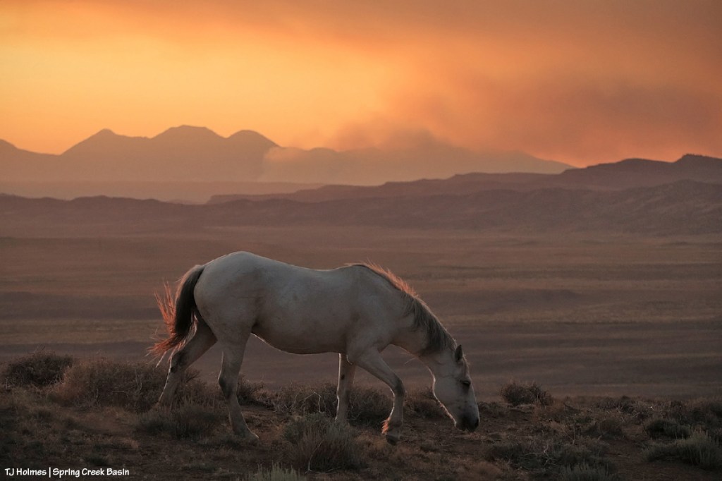
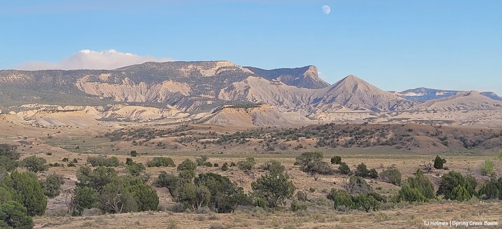
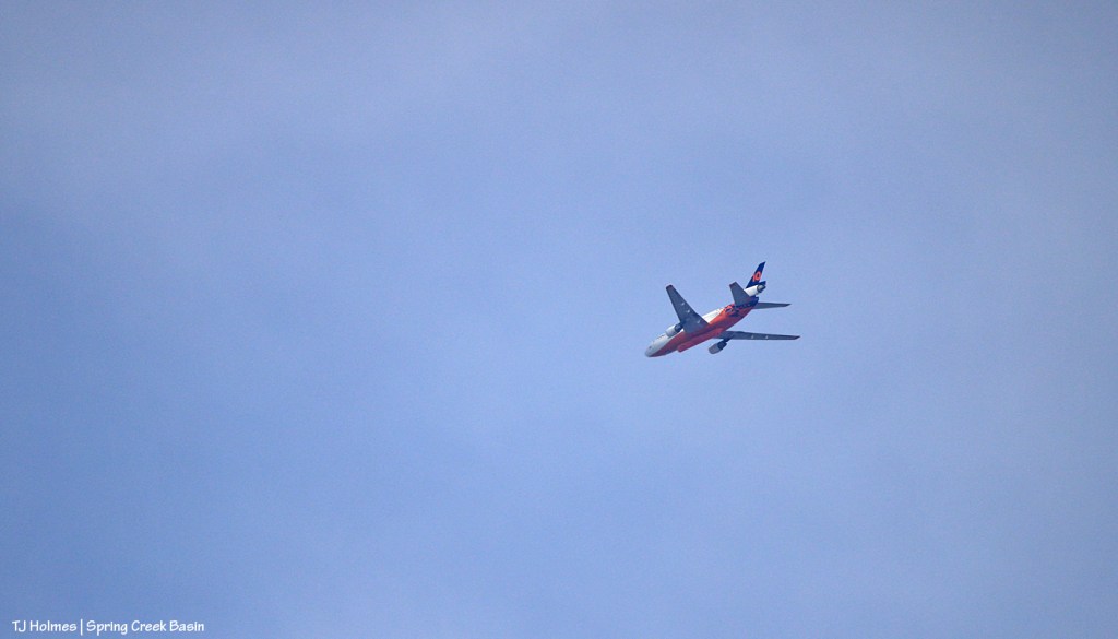
Ah, July, the month the Deer Creek Fire at the base of Utah’s La Sal Mountains sparked. It wasn’t the biggest wildfire of the season, and it wasn’t even the biggest with smoke visible from Spring Creek Basin and Disappointment Valley, but it was uncomfortably close to home. It was a reminder (as if we need any more) that it’s hotter and dryer out there, and we all need to be super aware and careful.
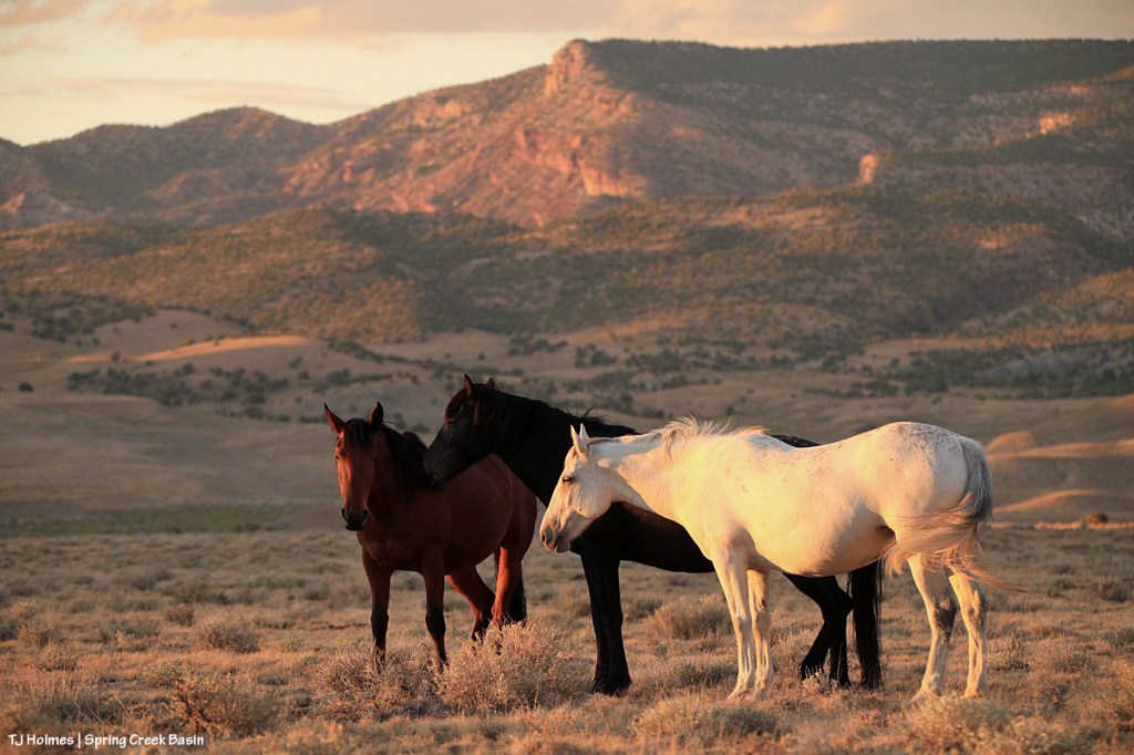
Fortunately, the mustangs live in the moment (while the humans obsess over the wildfire updates), and they still enjoyed peaceful days such as this: Three mares content with their world and each other.
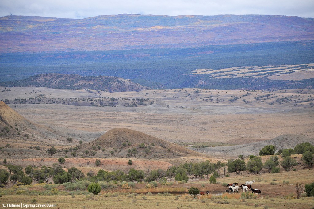
Finally, as summer gave way to fall, Mother Nature cried her best tears and filled some ponds for the mustangs. THAT brought huge relief to us all (if I may speak for my four-legged friends as well as myself). Interestingly, visible at upper left in this image is Benchmark Lookout, a U.S. Forest Service wildfire-watch tower staffed during the critical seasons of the year (which includes September). In this backcountry, we are massively grateful for those who watch for and provide critical information about wildfires, as well as those who work to contain them, allowing them to provide some benefit in some cases while trying to keep property and lives intact.
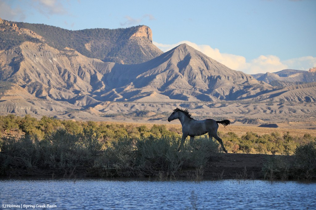
It might be about now in the list that you’re thinking, “for talking about dry it was, she sure included a lot of pix of ponds.” It’s not because we had so much water; it’s because we’re massively grateful for the water we had.
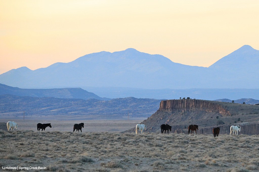
There’s no water in this image – and it was November, before snow graced the peaks on our northwestern horizon – but the ponies are lined out on their way out to graze after drinking at a little place I call the marsh. This is post-sunset, but wow was it gorgeous under the autumn light. … And it’s not UNgorgeous at blue hour.
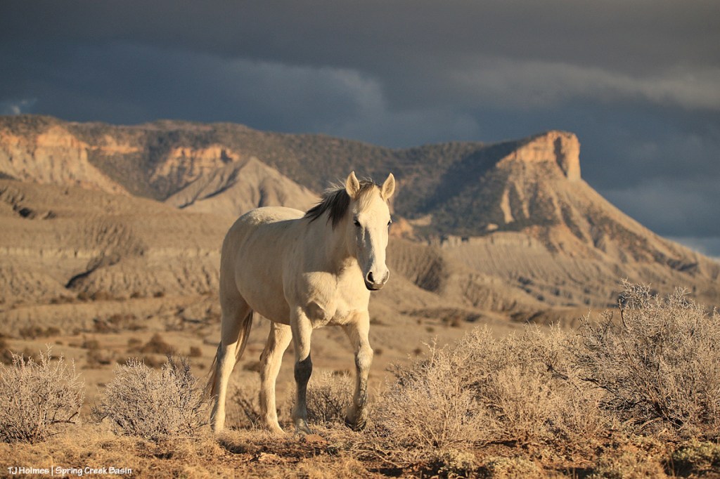
You’ve just seen this image of Temple with Temple (yes, the same) Butte and McKenna Peak in the background under a stream of stormy-looking (they didn’t produce a drop over us) clouds. I decided not to choose a pic from the bit of snow we got at the very beginning of December because the above is what we saw the whole rest of the month. The weather has been warm and dry … and that’s awfully nice for getting around and playing outdoors (60s! in Colorado!! in December!!?!) … but if things don’t change in the next few months, I’m going to be singing the same ol’ why-won’t-it-snow song that seems to be stuck on repeat.
And your bonus:
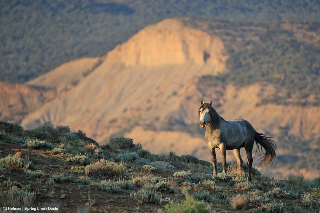
This was an evening in June. Nobody wanted to pose much, and I was going bananas, trying to get somebody – anybody – in front of that background in that subtle, delicious light. Finally, this young stallion obliged. And it seems to sum things up a bit: Hot this year? Yes. Dry? Gosh, yeah. Anxiety-inducing? Pretty much like always … with an extra edge. But! Beautiful, peaceful, a place of escape from the world’s ills (at least the headline type). Kind of a promise that it’s there … out there … and sometimes we don’t have to search all that far for it.
And there you (kinda) have it: 2025 in the rearview. It’s always hard to select just one pic for each month (plus a bonus!), but I hope you enjoyed this little recap.
In best-of-all news, I spent a lot of time (again) with my beloved mustangs in the best place on Earth (in my ever-so-humble opinion). 🙂
And close to that is my gratitude for all of you readers who follow the mustangs and our pictorial journal of peaceful, wild, beautiful life here in Spring Creek Basin. Thank you so much, and I hope you all have a peaceful, wild, beautiful 2026 (with lots more moisture!!!!!!!!!!!!!)!
Be kind to each other! 🙂


