Autumn-gold-and-tall grasses (galleta, grama, alkali sacaton), long, deep shadows. Must be fall. 🙂

If there’s anything that says fall in the West – that’s NOT glowing aspen – it’s glowing cottonwood trees. We have at least two varieties here in Southwest Colorado (I think – please correct me if I need correcting!): narrowleaf and Fremont. Don’t ask me which is pictured, but here’s what Google’s AI-generated (!) search has to say about the differences between the species:
Here are some ways narrowleaf cottonwood and Fremont cottonwood compare:
- Size Fremont cottonwoods can grow to be 70–90 ft tall and have a diameter of 2–3 ft, while narrowleaf cottonwoods can grow to be up to 60 ft tall.
Leaves
Fremont cottonwood leaves are shiny, triangular to heart-shaped, and light green with white veins. Narrowleaf cottonwood leaves are narrow (3/4–1 1/2 in wide) by 2–6 in long, with a round base and a very pointed tip.
Fruit
Fremont cottonwood fruit is light brown and egg-shaped, and it bursts into three to four sections to release its seeds.
Habitat
Fremont cottonwoods grow in wet areas within arid climates, while narrowleaf cottonwoods grow along streambanks in dry mountains, desert shrublands, and prairie grasslands.
Uses
Fremont cottonwoods are used for streambank protection, wildlife food and shelter, shade for livestock and recreation facilities, ornamental plantings, and windbreaks.
I don’t know how tall the above-pictured cottonwood is, but it’s tall – especially when you realize it’s rooted in that little arroyo (standing in the bottom, it was easy to climb into and out of, but it was still deeper than I am tall):

There aren’t a lot of cottonwoods in Spring Creek Basin, probably mostly because there aren’t a lot of consistent sources of water. I know of several (well, a few of the several?) that have died in the 17 years I’ve been intimately acquainted with the basin. Drought. 😦
The above pix are from my phone. The below are from my camera:

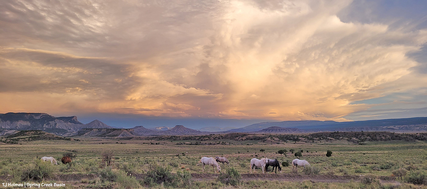
That pic would be splendidly *perfect* if there were a mustang *right there*! 🙂 One year, I’ll catch them at just the right time and place (and hopefully this wise old tree will continue that long).

Temple Butte through a perfect little window of leaves.
Cottonwoods line the entire length of Disappointment Creek, which runs (clear to its confluence with the Dolores River) with water from February-ish to late July in a good year (into August in a *really* good year, which this was not, water-wise), and which is entirely outside Spring Creek Basin.
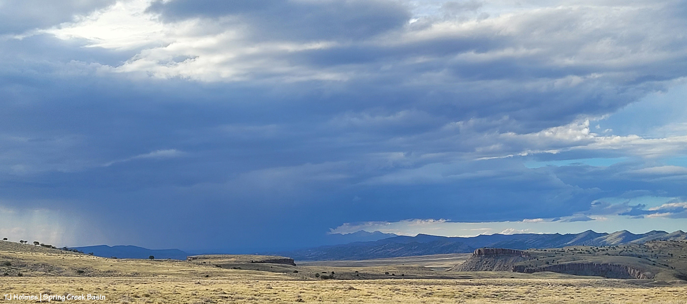
Hopefully ALL the trees and shrubs and grasses and ponds and seeps and catchments and horses, pronghorns, elk and deer and other critters throughout our parched region will reap the benefits of the forecast rain … today through Sunday! Fingers and hooves crossed!