Glow-up

2 07 2026

Yesterday was not the prettiest day under the smoke layers. … In fact, until late afternoon/early evening, it was pretty downright ugly (!). The fire moved toward the Dolores River canyon on its west side, and those delicious new fuels sent up a great deal of smoke. Morning found us super socked in … and it just didn’t lift or drift until much later in the day, which was – you guessed it –another red-flag-warning day. Today, the same.

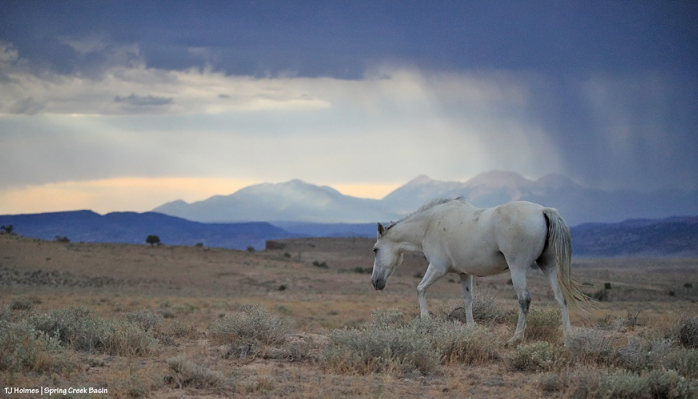
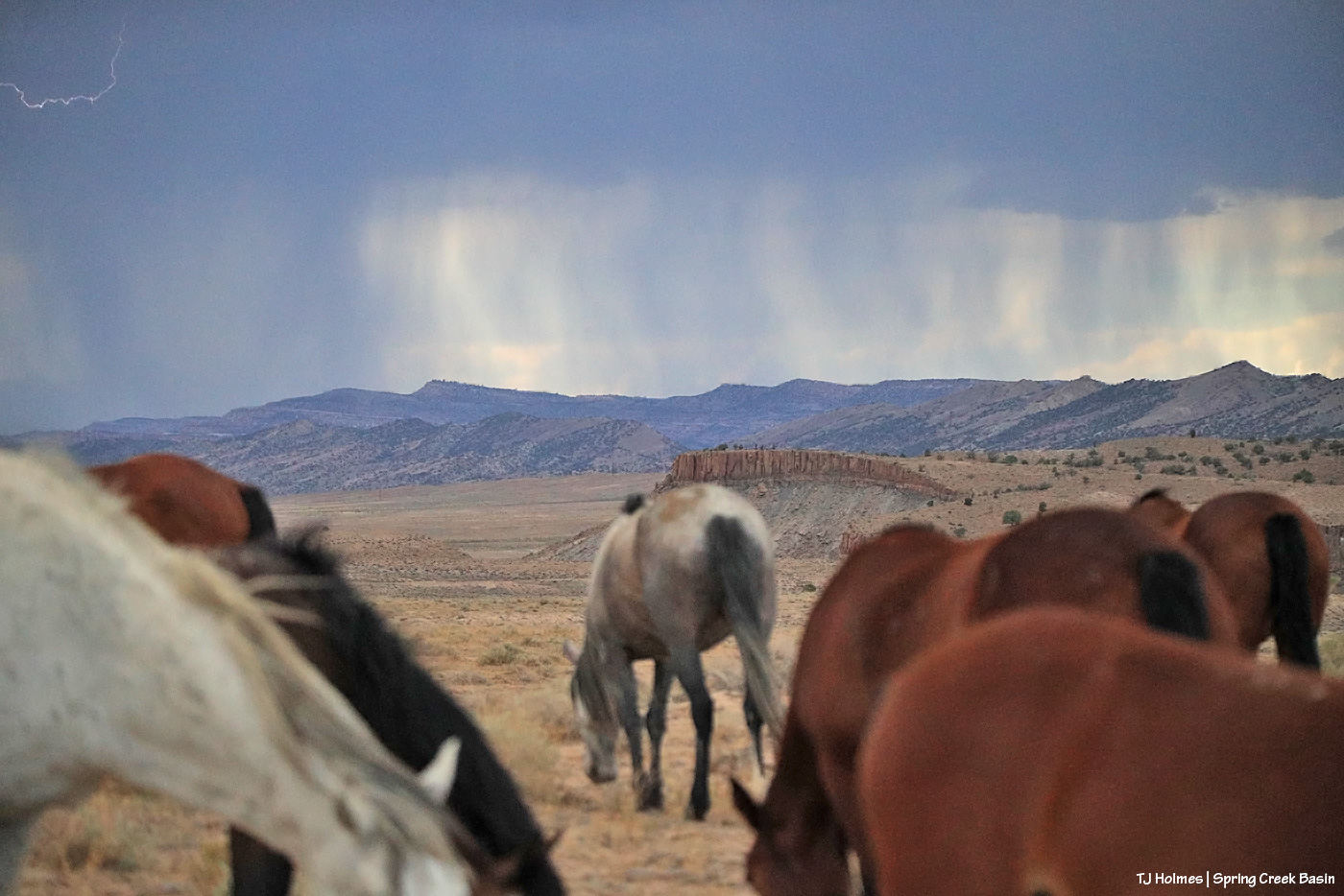
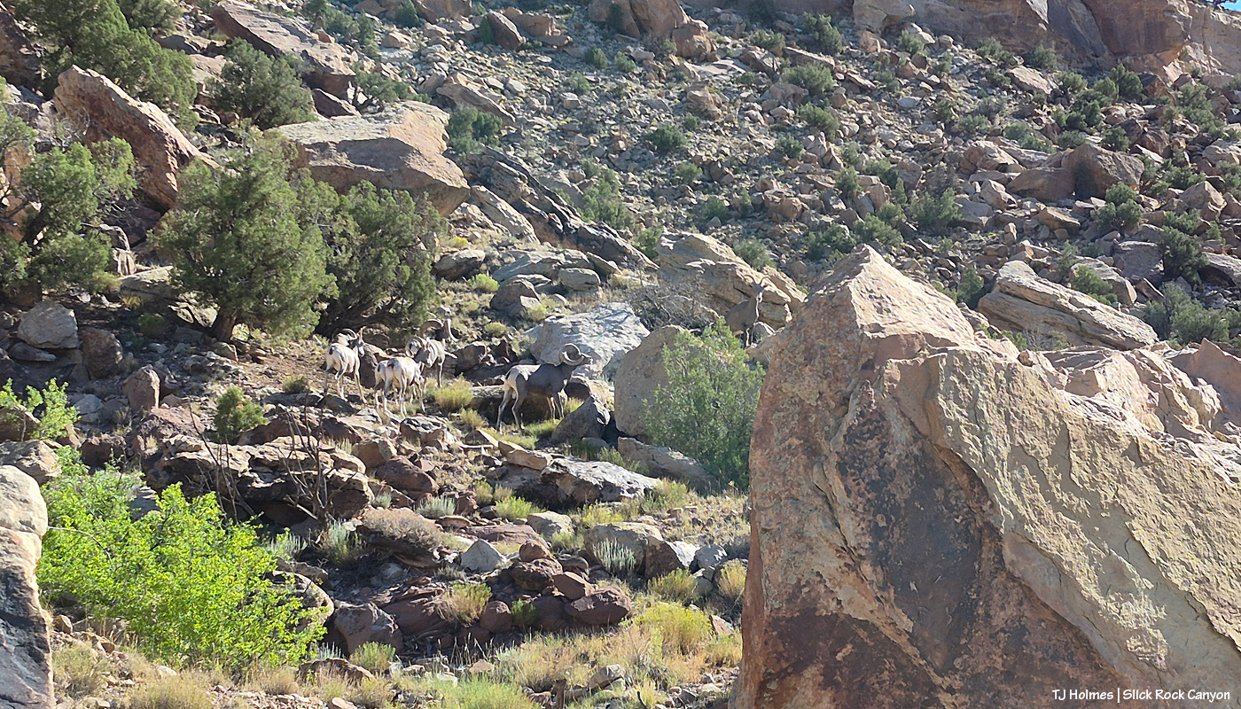
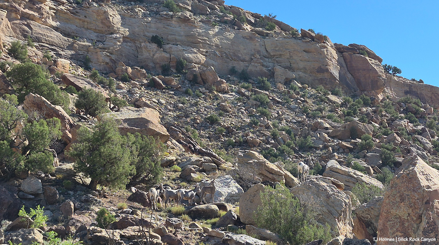
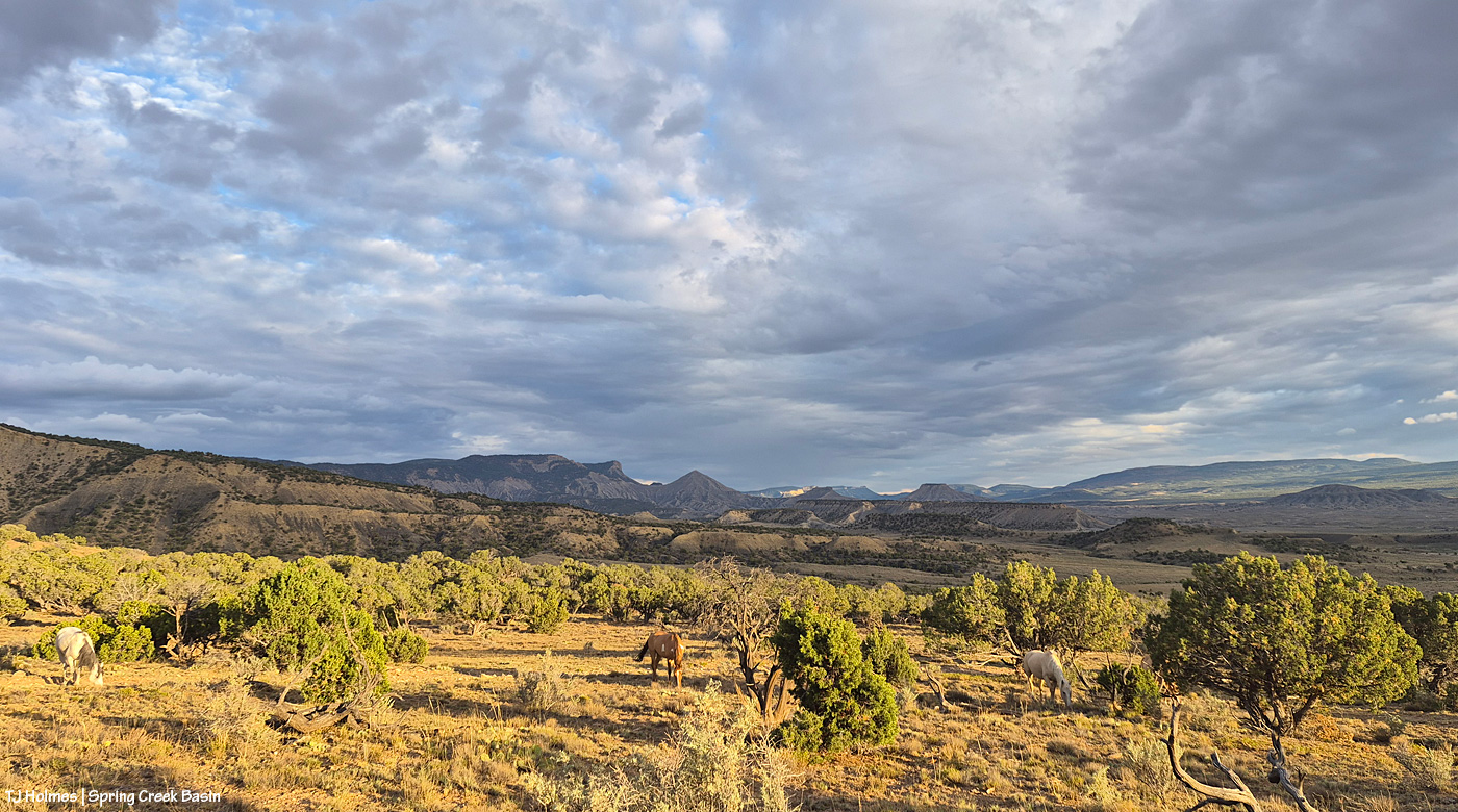
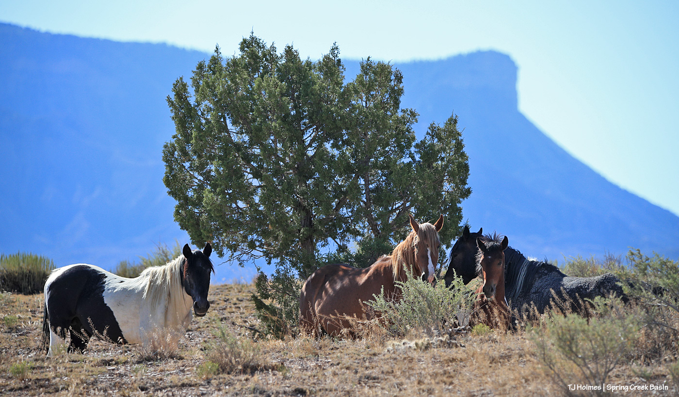
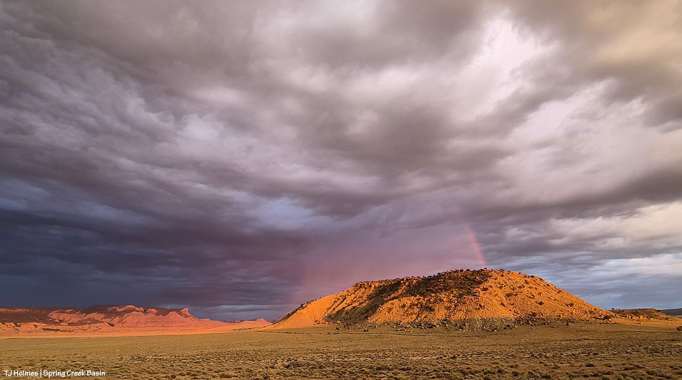
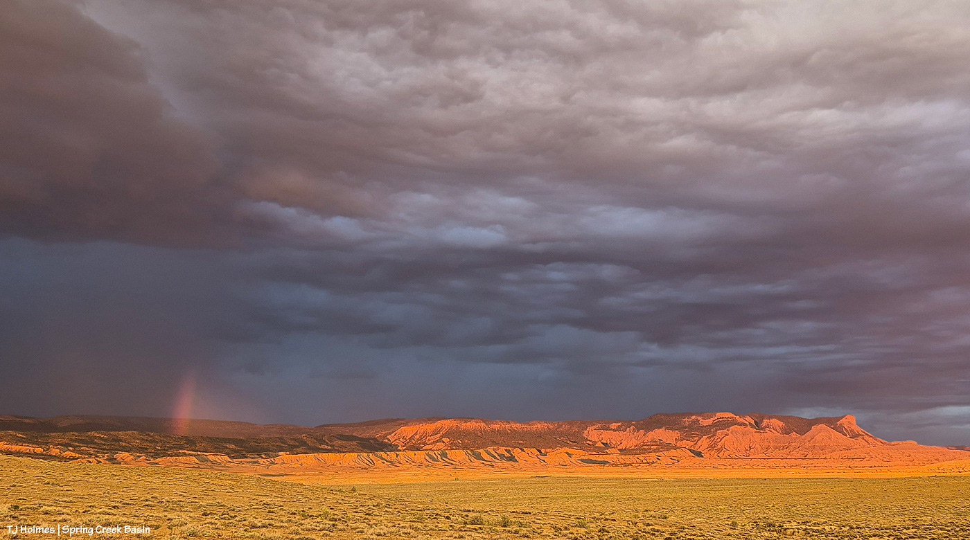
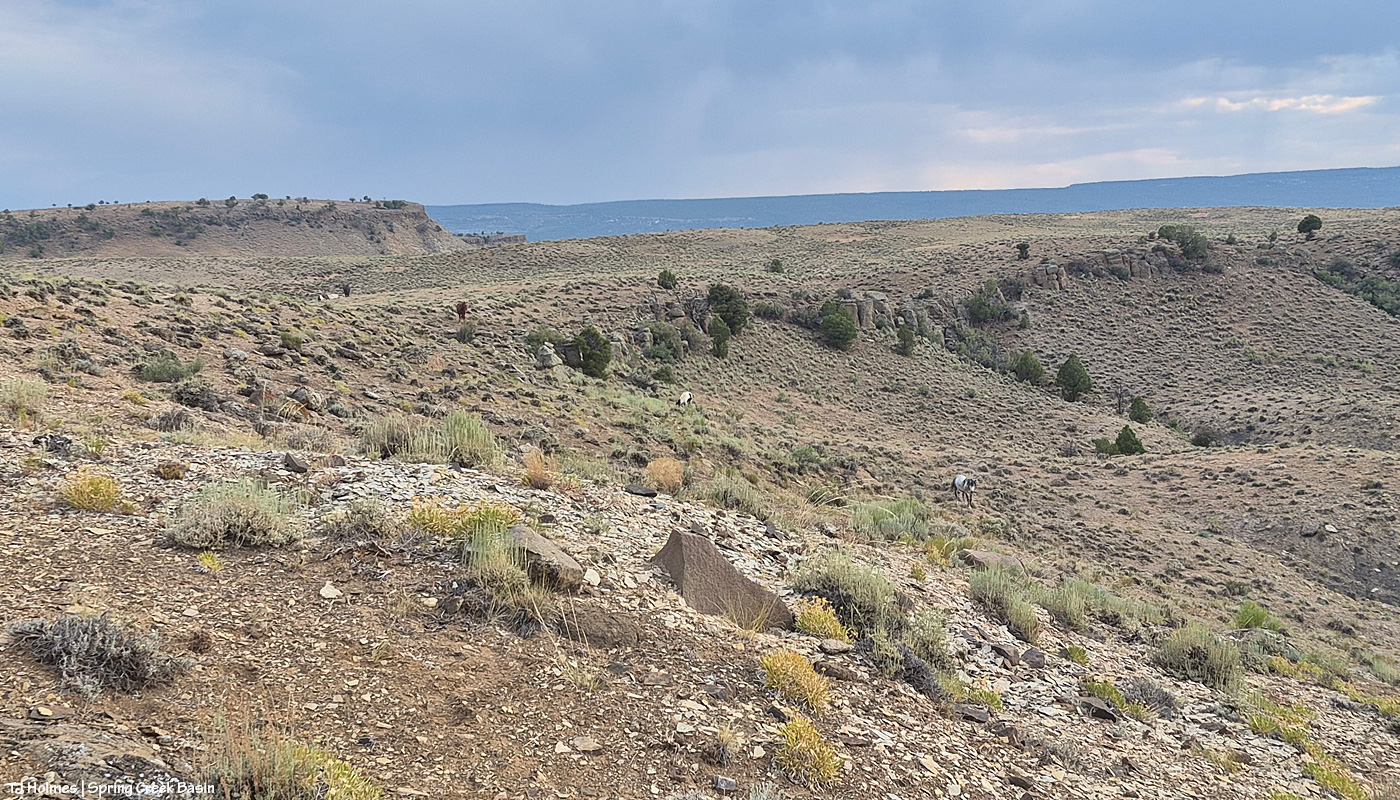
The mustangs continue to fare well through it all. They have forage, they have water, they have each other. When it comes right down to it, they have the important things kinda nailed. Mysterium, Gaia and Maple above.

If you’re using the Watch Duty app, you can find the below information there. I thought the updates Wednesday night for earlier in the day were informative, so I’m going to post them here (and huge thanks to those folks doing the updating?!). There has been a massive amount of work done by firefighting ground crews as well as air attack. It’s humbling to know those folks are out there giving every ounce of their strength to fighting this fire. The Ferris Fire apparently has its own Facebook page, but that’s beyond my knowledge.

Michael Silvester • Senior Manager of Operations & Standards

22 minutes ago • Jul 1 at 9:58 PM

The Ferris Fire is expected to reach the Dolores River Canyon tonight as it backs down Doe Canyon. Fire crews will continue monitor this area closely tonight and will be in close communication with Dolores County out of an abundance of caution.

Tomorrow [today, July 2], a number of engines will staff the west side of the canyon. The Incident Management Team is also coordinating closely with the local fire protection.

Michael Silvester • Senior Manager of Operations & Standards

3 minutes ago • Jul 1 at 9:32 PM

Zone 8 [I believe this is directly west of the fire] is now on “Set” status & the parameters for that zone can be seen above, per the update from Dolores County Office of Emergency Management on Facebook. SET Means Be Ready to Leave & means there’s a wildfire in the area, and conditions could change quickly. It’s time to be alert, stay informed, and be ready to leave at a moment’s notice.

When you’re SET:

– Load your go-kit into your vehicle.

– Park facing out for a quicker departure.

– Follow updates from official fire and emergency channels.

– Review your evacuation routes and know where you’ll go.

– Get pets and livestock ready to leave with you.

Being SET doesn’t mean you need to leave yet.

Total acreage: 25,814 Total personnel: 282

Today [yesterday, July 1], the Arroyo Grande Hotshots continued to dig containment line on the northeast corner of the fire nearest to private lands. An additional dozer and hotshot crew will be in place tomorrow to continue this mission. Favorable weather conditions will allow overnight burnout operations to continue this evening.

Dozer work on the southwest corner of the fire was completed. Firefighters will continue improving and developing containment line in this area.

The west side of the fire, closest to the Dolores River Canyon, continues to present challenges for direct engagement. Additional divisions were added to respond to this expected growth.

Susan Perney • Coverage Reporter

About 4 hours ago • Jul 1 at 5:42 PM

Three Type 1’s and one smaller helicopter are working the various hotspots around the fire. Air tankers have also been dropping retardant to slow the fire’s growth on the southern end where Doe Canyon meets the Dolores River Canyon.

A second interagency Hotshot Crew (IHC) will be arriving later today. Current plans call for them to assist with creating fire line in rugged terrain on the fire’s northeast corner near the lookout. The goal is to prevent the fire from reaching and threatening homes and private property in the Glade Ranch Subdivision and to protect the lookout itself. Despite several large fires in Colorado and surrounding states we are continuing to get more resources to support the crews on the ground and in the air. 280 firefighters and support personnel are now assigned to the fire.

**********

That Montana-shaped smoke is from the Ferris Fire, which has moved north and northwest and is overlapping the western-horizon smoke from Southwest Colorado and Utah fires.

Smoke in the pic is NOT as close as it seems, nor as awful as it looks. I mean, it IS awful where it is, but it is not super close to Spring Creek Basin. I actually debated showing this pic, and I decided to do it, not for drama factor, which I’m aware that it has, but because that was the scene toward sunset looking south/southeast, and I think it helps tell the story. A recovering journalist, still, I am.

We remain incredibly grateful to all the firefighters and folks supporting the crews working on the Ferris Fire *AND* all the other fires burning near and not-so-near. I particularly value my partnership with my local BLM folks, which includes this challenging time, during which they are, as you might guess, super busy. Thanks (again!) to Ryan for taking the time to keep me updated about goings-on; you can’t imagine how grateful I am.

And thank you also to everyone who has messaged me asking about the safety of the mustangs; I appreciate that immensely.

They’re OK. We’re OK. 🙂


Windy again; more and less smoke

1 07 2026

After a pretty smoky early morning, the wind blew it east and away again most of the rest of the day. The wind still is switching between southwest and southeast and south. Cassidy Rain and her band were just leaving water; you can see the mud on her right front leg.

This is a very wide view (cell phone) from the main/original water catchment looking south/southeast. The source (ish?) of the Ferris Fire is at far right. I think it might have been the wind that had the smoke so ragged; clouds were actually visible low to the horizon, through the smoke. (Is that weird? It seems weird; the smoke on the horizon(s) has been so dense that it seems unusual to see anything beyond it, whether that’s the far ridges or even clouds.) You can see how clear it is between here and there. Fortunately for the mustangs, they’re not dealing with a lot of smoke.

From near the western boundary of Spring Creek Basin, looking west/northwest as the sun drops into a bank of smoke drifting from the Utah fires and maybe some farther southwest of Disappointment Valley in Colorado. Earlier in the day, the mountains were fully visible and the smoke was behind (west) of them. Then there was a period during the day when the mountains were fully obscured by smoke again. And here, at the end of the day, they were visible below the band of smoke. I think that great band of smoke was from the southern fires and joining smoke from the northern fires (like the Snyder Mesa Fire).

This last image is from about the same place as the one above, but now we’re looking nearly directly north. See the painterly smoke from left that fingers to the right, right of center? That’s from the western fires. See the greyer smoke at right? That’s from the Ferris Fire. Straight south and to the southwest, we’ve had a clear sky, and straight-ish north, we’ve had a clear sky. Tonight, the smokes from west and east have joined in the north. Wild, right? (If you look closely, those white dots at center left, on the sloping edge of the northern Spring Creek canyon side, are mustangs. :))

We continue to be very lucky in location, and the mustangs are doing very well.


Between the smokes

30 06 2026

Gratefully, while the Ferris Fire burns 20,560 acres to the southeast and the McCloud Fire and Horse Head Fire burn 113 and 530 acres, respectively, to the southwest (and that smoke is joined from the Snyder Mesa Fire (30,163 acres) to our north/northwest, drifting southish), Spring Creek Basin and lower Disappointment Valley were mostly smoke-free yesterday.

In the pic above, Tenaz and Skywalker, grazing with their band almost at the western boundary of the basin, are highlighted by that drifting smoke to the west. It’s fairly far away, but I haven’t seen Utah’s La Sal Mountains for at least a few days now as the smoke obscures any sight of them.

Now looking east/southeast, that’s the smoke from the Ferris Fire (the Doe Canyon, Far Draw and Ferris fires all have merged and are now being collectively called the Ferris Fire). But see how clear it is between here and there? Not great for folks and critters in that direction … but (again, gratefully), a huge relief for my beloved center-of-the-world Spring Creek Basin.

Huge thanks to sheriff’s deputies from both Dolores and San Miguel counties (Disappointment Valley spans both counties, and Disappointment Road runs from Colorado Highway 141 at the lower north end to the Dolores-Norwood Road at the upper southeast end) who have been diligent in keeping an eye on the fire’s approach: Branson, Todd, Derek, Jeremy and Nick. Also to my BLM folks, especially Ryan and Laura, for keeping an eye on the situation and updating me with information. Anton was on one of the fire crews pulled back Saturday for safety on the Doe Canyon Fire, and he might still be on a fire crew on the merged fire.

To all the firefighters out there, heartfelt thanks and prayers for your hard work and continued safety. The firefighters killed while fighting the Snyder Mesa Fire have been identified. There are really no words to describe the heartbreaking loss of those young lives.


Smoky but OK

29 06 2026

Flash with a smoky background, looking close to straight south from Spring Creek Basin to the southern ridges of Disappointment Valley.

The Ferris Fire merged with the Far Draw Fire on Sunday morning … and by Sunday evening, the nearby Doe Canyon Fire had merged with the others, so now it’s all one big fire (being called, collectively, the Ferris Fire), and it was at almost 14,500 acres by last night. Awful south/southwest/southeast (yep; it keeps switching) winds are driving this fire and probably every other fire at least in western Colorado and eastern Utah right now.

The fire(s) and smoke continue to move in a northeasterly direction, and mid-lower Disappointment Valley and Spring Creek Basin actually are not nearly as smoky as upper Disappointment Valley.

The mustangs are OK. Really, they’re pretty unphased, as far as I can tell. I spent time last evening with Flash’s band, and I saw several other bands going about their business of grazing and moving to and away from water sources.

The Gold Mountain Fire also started Saturday in Ouray County, near the town of Ouray, and a stretch of U.S. Highway 550 is closed in that area. Friends we visited in Ridgway on Saturday could see flames from that fire from their respective homes after we left.

Tragically, three firefighters died and two more are hospitalized from injuries suffered fighting the Snyder Mesa Fire on the Utah-Colorado border almost directly west of Grand Junction. Heartbreaking.

The smoke isn’t really discernible in this pic post-sunset (hard to tell as the sun sank again into a smokebank), but that rising moon, nearly full, is red through a layer of smoke. Noooooootttt the moonrise pic I had pictured for this month.

The mustangs are OK, and we’re watching the progress of the fires and keeping an eye on that smoke. Firefighters should make some progress when the horriblebadawful wind dies down. Think safety for all involved.


Close to home

28 06 2026

This won’t be an easy post to either read or view.

*THE MUSTANGS ARE SAFE*

That’s the important thing (as far as the main topic of this blog, anyway).

Yesterday, Saturday, June 27, at least three wildfires of significance roared to life directly south of Disappointment Valley: Ferris Fire (4,777 acres as of Saturday evening), Far Draw Fire (651 acres) and Doe Canyon Fire (385 acres). There’s also the Horse Head Fire (200 acres) burning to the southwest, in Utah, and the Snyder Fire (28,264 acres) burning north-northwest of here, almost directly west of Grand Junction and just inside Utah.

Red-flag warnings; check.

Wind advisories; check.

Bad air quality; check.

Critical fire weather; check.

Stage 2 fire restrictions in San Miguel and Montrose counties; check (these might extend to other nearby counties, but these are the ones I know about, and most of Spring Creek Basin is in San Miguel County, with the southern/southeastern portion in Dolores County).

Kentucky is flooded, and the West is on fire. Friday night, we had a swift little storm pass through Disappointment Valley – 0.04 inch from four minutes of rain. My guess (guess only; I don’t know yet the cause of these fires) is that they started from lightning strikes. It is one giant tinder box out there. Until the little bit of rain Wednesday, it hadn’t rained here for more than a month.

If images of wildfire smoke bother you (it bothers me), the rest of this post isn’t for you … and the pictures, as usual, don’t convey the bad-ness of the beast. … Again, please know that the mustangs are SAFE. I can’t say what the fires will or will not do, but for now, the horses are OK and not in danger.

I spent most of Saturday in Ridgway with mustang friends, and this is what greeted me and Kat Wilder upon our return to Disappointment Valley. This is from the northern part of the valley, a few miles south of Colorado Highway 141, looking southeast.

Looking west at sunset; this smoke is from the Utah fires.

The majority of the smoke seems to be passing east of the eastern side of Spring Creek Basin; McKenna Peak, Temple Butte and Brumley Point are all visible. … The smoke ain’t great up-valley; it smells like you’re in the middle of a campfire (and by the way, campfires and any other kind of fires are strictly verboten (that means forbidden!), not to mention dumb as hell).

Stage 2 fire restrictions in San Miguel County, Colorado:

Stage II Restrictions

The following are prohibited under Stage II restrictions:

  1. Open Fires
    1. No campfires, charcoal grills, wood-burning stoves, chimineas, tiki torches, or any open flames, even at private homes or campgrounds.
    2. Gas grills or propane stoves are allowed if they can be turned on and off, and only in areas cleared of flammable materials.
  2. Smoking except within an enclosed vehicle or building
  3. Chainsaws or other equipment powered by an internal combustion engine, unless it has a working spark arresting device
  4. Outdoor welding or acetylene torches unless in a cleared area at least 10 feet wide and a pressurized fire extinguisher must be on hand
  5. Off-road driving or parking: vehicles must stay on established roads, trails, or parking areas. No parking over dry grass.
  6. Explosives and fireworks

Post-sunset looking west again. … This is NOT the “red glare” we like to see. 😦

Please, please be careful out there.


Sunset’s red glare

26 06 2026

Mother Nature’s “fire works” from Disappointment Valley looking northwest to Utah’s La Sal Mountains post-sunset.

No rain yesterday (dammit!), but that’s some crazy looking virga hanging from high and clearing clouds.


Two with horns

23 06 2026

Both of these critters were seen on the evening of summer solstice. Both are named for their “horns.” One has feathers; one has scales. Both are desert beauties.

Horned larks are one of the first birds I learned to identify. Lots of them seem to call Spring Creek Basin home. See his little “horn” tufts?

Same lark. Maybe it was the presence of the mustangs behind me that made him feel comfortable enough to land on nearby greasewood to check me out.

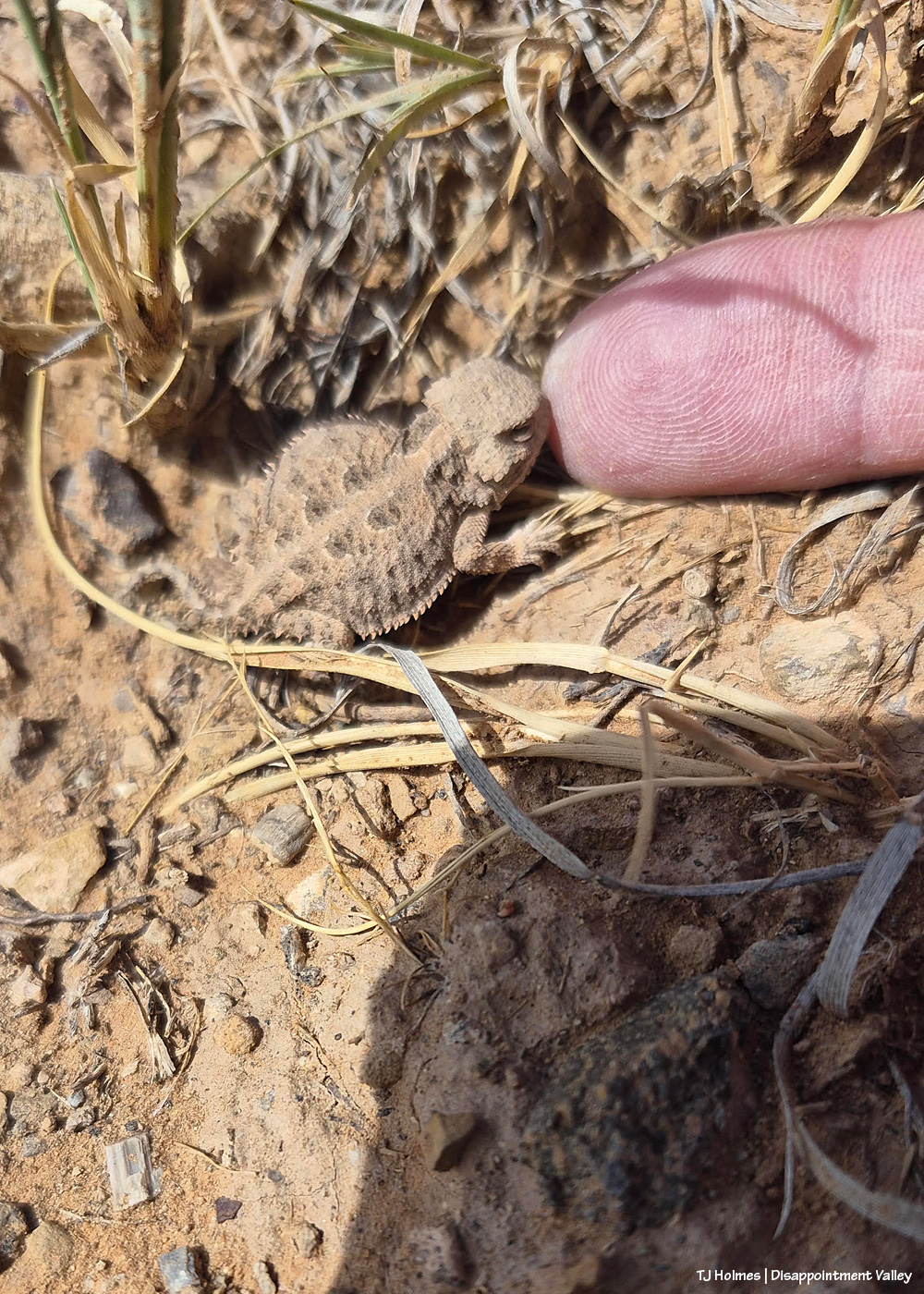
While following those same mustangs away from the road, this little fellow (fellarina?) caught my eye. (Much nicer to see a horned lizard scuttle away underfoot than the longer, more slithery kind!)

I didn’t realize it at first, but it was hunting around an ant hill.

I started to see it darting forward, and that’s what alerted me that it was going after something on the ground, presumably insects. Too bad it’s out of focus, but it helps the story!

You might think this one is out of focus – I did, too – but look at that little dirt ball in front of the lizard. See the bug? It didn’t last long!

Is it just me, or does that look like a satisfied little lizard? 🙂


Planetary and moon parade

19 06 2026

Are you folks seeing this planetary parade in your evening sky?

My phone says these were taken about 10 minutes till 10 p.m., and I took them Wednesday night. It still amazes me that my phone takes such decent pix of the night sky, though I’ll admit that it’s hard to tell that’s a waxing and very delicate crescent moon (setting).

I’ve been watching at least a couple of planets the last several evenings – enjoying, not photographing or even attempting to. Then I remembered that my phone isn’t too shabby at taking night-sky pix. And you have to know by now that I’m a sucker for the moon. 🙂

AI Google says this to explain the above:

You are witnessing a spectacular “mini planet parade” featuring a slender, waxing crescent Moon aligning with the brilliant planets Venus and Jupiter, along with Mercury. [1, 2]

The bright “stars” you are seeing are actually these inner and outer planets, which always shine exceptionally bright and steady compared to twinkling stars. The details of this cosmic alignment include: [1, 2, 3]

  • The Planets: Venus is by far the brightest, hanging lowest in the sky. Jupiter, the largest planet, is shining brightly nearby, while elusive Mercury sits lowest on the horizon, fading as twilight sets in. [1, 2, 3, 4, 5]
  • The Moon: The delicate crescent is gliding near this trio and is beautifully illuminated by earthshine—sunlight reflecting off Earth’s oceans and clouds. [1, 2]
  • The Stars: If you have an unobstructed view and clear skies, you might also spot the twin stars of Gemini (Castor and Pollux) or the Beehive Star Cluster framing the scene higher up. [1, 2]

For the best viewing experience, find a location with a wide, flat, and dark western horizon right after sunset. Binoculars can help you spot Mercury before it slips below the horizon, and they will transform the crescent Moon’s backdrop into a glittering swarm of stars in the Beehive Cluster. [1, 2]

I don’t know about ya’ll, but I still don’t know which is which; is it Venus, “by far the brightest, hanging lowest in the sky” … or Mercury, sitting “lowest on the horizon”? I mean, if they’re both the lowest, which is the *lowest*? Ha. Venus must be the bright “star” just to the lower right of the moon? Expert stargazers, please help me!

Here’s a link from Space.com that mentions the moon and three planets. It would have been accurate for June 17, the night I took the above pix.

I love clear night skies; during the day, I’d sure appreciate some clouds. Picky, aren’t I!? 🙂


Mustangs in art

7 06 2026

You probably didn’t know this was the post you needed. Mustangs + art = fabulous.

The year 2007, the year of the first Spring Creek Basin roundup I attended, was a big year for me (more on this coming in mid-September). This post focuses on my friend and artist Karen Keene Day, whom I met that September, courtesy of Pati and David Temple. Karen and I forged a firm friendship then, and she has been out numerous/many/lots of times since then to see the mustangs. I started visiting Spring Creek Basin in 2002; Karen first visited in 2003. She visited the BLM/USFS office in Durango, and a woman there put her in touch with Pati. “I parked my car in the shade and called Pati … and she didn’t stop talking about the mustangs!”

A lot of us trace our Spring Creek Basin mustangs obsession back to Pati. Fondly so!

Karen has always been an artist … always been a horse lover, though she didn’t have her first horse until adulthood … and in 1999, after her first visit to Pryor Mountain Wild Horse Range (Wyoming and Montana), she focused her art, which had always included horses, including Andalusians in Spain, completely on wild horses.

Fast forward from those years to this past Friday night: The opening event was held for Karen’s June art show at Decker Community Room in Ridgway, Colorado. Her absolutely amazing art fills the walls with color and movement and spirit and sheer beauty. And they span her amazing wild-horse-art career from 1999 to 2026. If you find yourself in Colorado, on Colorado’s Western Slope, in the quirky western town of Ridgway, even if you’re just passing through, do your heart and art-appreciating self a favor and stop in to view Karen’s art. The following photos can’t do justice to just how fantastic the entire exhibit looks.

Writer Kathryn Wilder pauses to look at samples of Karen’s art upon arrival at Decker Community Room on Ridgway’s Clinton Street (a short, buzzing few blocks of galleries and restaurants just off the main drag).

Karen (center, black shirt) and her husband, Floyd (seated at right), greeted visitors. We arrived right at the beginning of the opening, and the venue quickly became packed with appreciative art viewers!

Floyd, a retired engineer, is an artist in his own right and also has had showings of his art in Ridgway. His preferred subjects are the cows, calves and bulls that call the ranch country at the edge of the San Juan Mountains home.

Karen’s art comes in many sizes and a variety of semi-similar abstract styles, showing her evolution as an artist. I have loved Karen’s art for nearly 20 years, since I first set eyes on it! I challenge you to be UNmoved by the spirit and movement and beauty illustrated by her vision of wild horses and the wild places they call home. Karen’s quote at upper left: “Peace and unintentional creativity comes to me when I paint.”

You thought mustangs came from drab, dry, desert-brown ranges, didn’t you? The colors she sees in the natural world absolutely inspires me.

You see the faces of horses, don’t you? More proof of Karen’s unique creativity: These are pans she has used below her paintings to catch drips and drops of paint as she boldly creates her art … and then she made art of those very pans! At right are some of her own brushes and drop cloths that she has used while creating her art.

Absolutely gorgeous.

Karen’s exhibit also includes images of her painting and visiting various ranges and wild horse sanctuaries. I love the sketch below the pictures … those are Spring Creek Basin mustangs.

More sketches and journal entries from her visits to mustangs. In addition to Spring Creek Basin, she has visited Pryor Mountain, Little Book Cliffs (near Grand Junction, Colorado), Sand Wash Basin (near Craig, Colorado) and Piceance-East Douglas (near Meeker, Colorado), as well as various East Coast wild horse herds!

You might have noticed that the large black-and-white painting at left in the image above features in a few of the pix. I think that wasn’t necessarily conscious, but that’s Hope, and she is most gratefully mine, gifted to me by Karen many years ago. Karen wanted to include Hope in her art show, and I was thrilled to deliver her to Ridgway, though my wall looks awfully bare without her (I’ll get her back at the end of June). 🙂 Karen and Floyd both told me that many visitors had already told them she was one of their favorites of her paintings in the show.

At right is Chrome. Karen’s words above him read: “A man who moves away from nature loses his heart.”

Kat Wilder wrote “Desert Chrome: Water, a Woman, and Wild Horses in the West” (scroll down a bit), published in 2021. Yes, *that* Chrome.

My most beloved Grey (also known as Traveler), memorialized and honored in Karen’s vivid vision and colors. I love that his image at left is in “royal” purple; Grey was short for Sir Grey, and by that, I mean(t) king of mustangs. That one was painted in 2013. At right, titled “Return to Disappointment Valley,” 2008: We’re certain that’s Grey after his return to Spring Creek Basin after he was erroneously removed from the basin during the 2007 roundup … and returned a month later, the day I started my documentation of Spring Creek Basin’s mustangs.

Love the detail of his name stenciled down the side of the canvas. And Kat pointed out the word “SOUL” at lower center on the front of Grey.

In Karen’s writing at right: “Animals are God’s gift to people to teach us how to treat others.”

Left to right: Fellow Ridgway resident (for 30-plus years), artist and mustang advocate and adopter (including of Spring Creek Basin mustangs) Alice Billings, Kat (also a mustang advocate and adopter) and yours truly (they made me stand on the downhill side of the ramp :)).

Kat and I with Karen – mustang chix all.

Karen’s art show runs through June 26. All the art comes down June 27. Visit while you can. You will NOT be disappointed (!). 🙂

Karen’s website: https://www.karenkeeneday.com/

Instagram: @karenkeenedayart

Facebook: Look for “Karen Keene Day”


Pretty birds

28 05 2026

Yesterday morning, I spotted this handsome lark sparrow foraging on the ground near a road. Merlin helped me identify it by its song (and that of others nearby), and isn’t it a lovely little bird! I particularly love this description from Cornell’s All About Birds website: “This large sparrow may be brown, but its harlequin facial pattern and white tail spots make it a standout among sparrows. Males sing a melodious jumble of churrs, buzzes, and trills reminiscent of an Old World lark.” I’m not sure what an “Old World lark” sounds like, but I did enjoy listening to the variety of trills from a variety of birds!

I also saw these lovelies swooping and soaring and preening on a fence wire:

I wish I’d caught the “sidle closer” steps as the bird on the right moved closer to its friend. (I *think* these are both males, but I’d love to be corrected?)

All About Birds says this about them: “You can find the adaptable Barn Swallow feeding in open habitats from fields, parks, and roadway edges to marshes, meadows, ponds, and coastal waters. Their nests are often easy to spot under the eaves or inside of sheds, barns, bridges and other structures.”

They use mud to build their nests, and we’re a bit in short supply of mud at the moment. Though Disappointment Creek wasn’t too far away as the sparrow dives, so hopefully that mud is close (enough) at hand (err, wing).

A different pair, taken from the same place just a bit farther along on the same fence wire.

Aren’t they magnificent? Cornell says they’re the most abundant and widely distributed swallow species in the world, but that doesn’t stop them from being simply stunning little birds.

A couple of interesting facts (among a few), also from All About Birds:

  • Although the killing of egrets is often cited for inspiring the U.S. conservation movement, it was the millinery (hat-making) trade’s impact on Barn Swallows that prompted naturalist George Bird Grinnell’s 1886 Forest & Stream editorial decrying the waste of bird life. His essay led to the founding of the first Audubon Society.
  • According to legend, the Barn Swallow got its forked tail because it stole fire from the gods to bring to people. An angry deity hurled a firebrand at the swallow, singeing away its middle tail feathers.

What do they eat? “Barn Swallows feed on the wing, snagging insects from just above the ground or water to heights of 100 feet or more.” With gnat season upon us, feed, swallows, feed on those wings! 🙂