
Temple. Gorgeous.
Temple. Gorgeous.
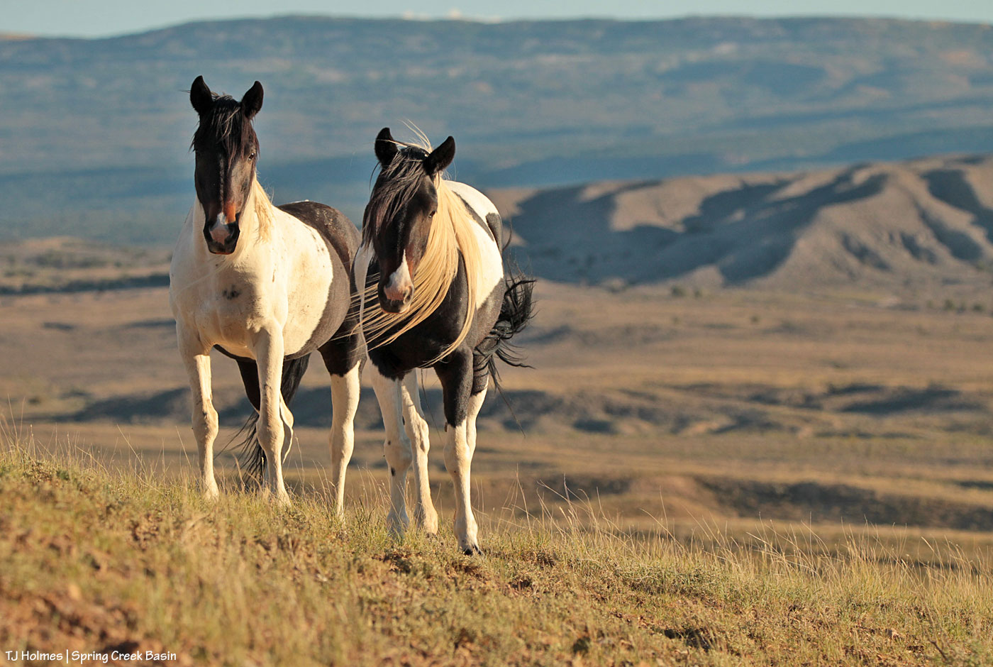
Two is always better than just one. 🙂
Don’t they have a grand, top-of-the-world view?!

Kestrel is just so beautiful. How much more needs to be said?!
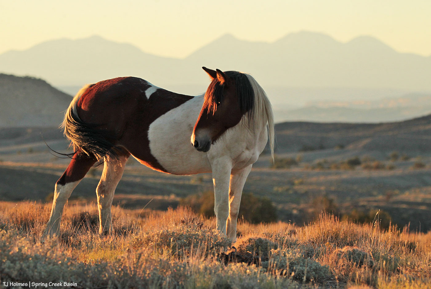
Chipeta had finally deigned to look up from her grazing to pose with Utah’s La Sal Mountains in the background … but the shadow cast by the setting sun from her hip was right on her face at about eye level. I was hoping she’d lift her head just a fraction of a bitty bit, so I could at least see her eyes … when she turned her whole head to look at a band mate behind her.
Ahhhhh. Beautiful. Click. 🙂
Is it just me, or is Storm just glorious, even covered in old mud, hanging out, napping, watching his mares graze?
Yeah. I think not, too. 😉
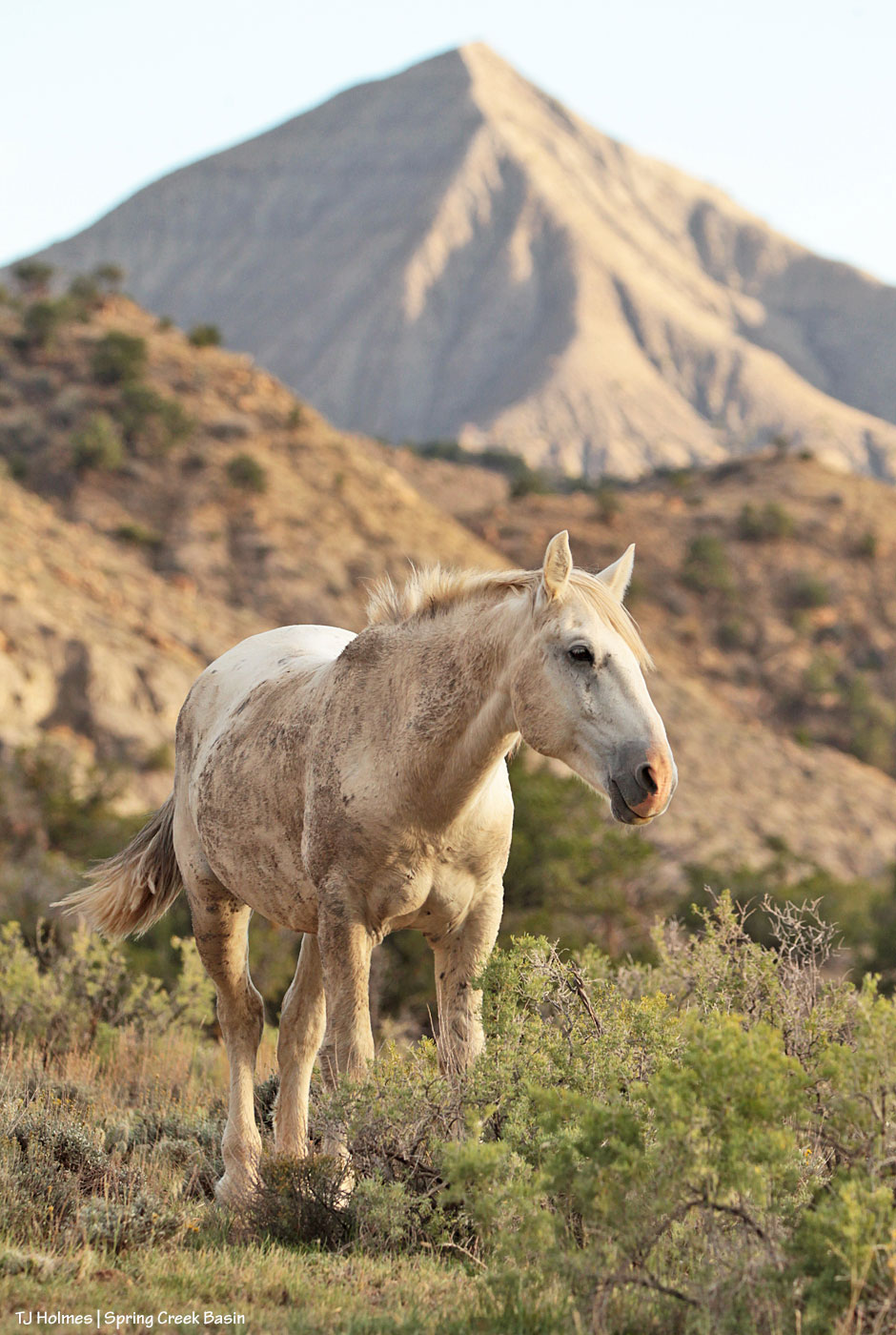
How beautiful is this old planet?


Anyone disagree?
I thought not. 🙂
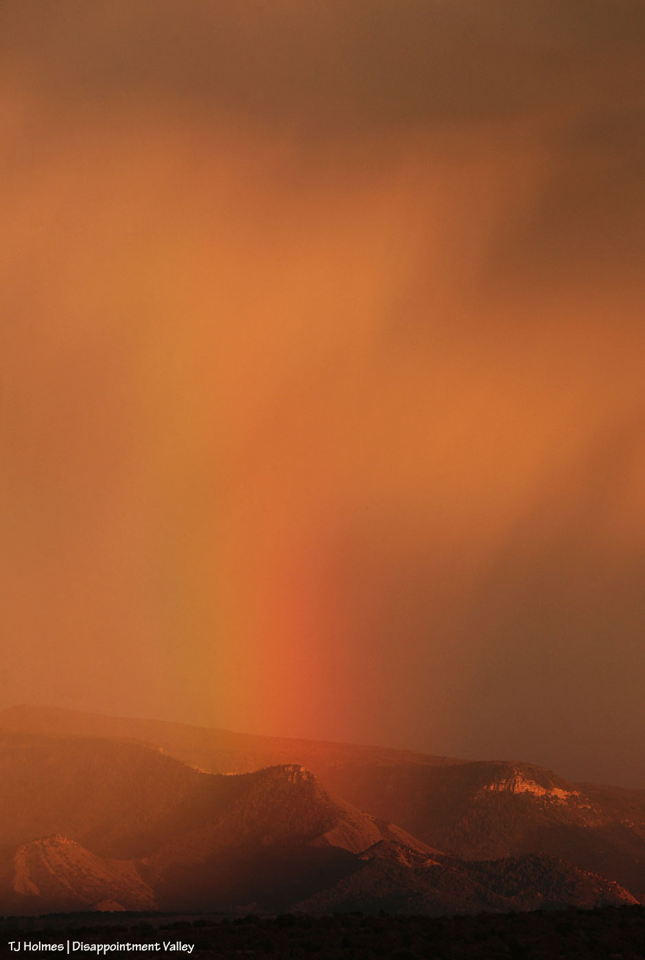
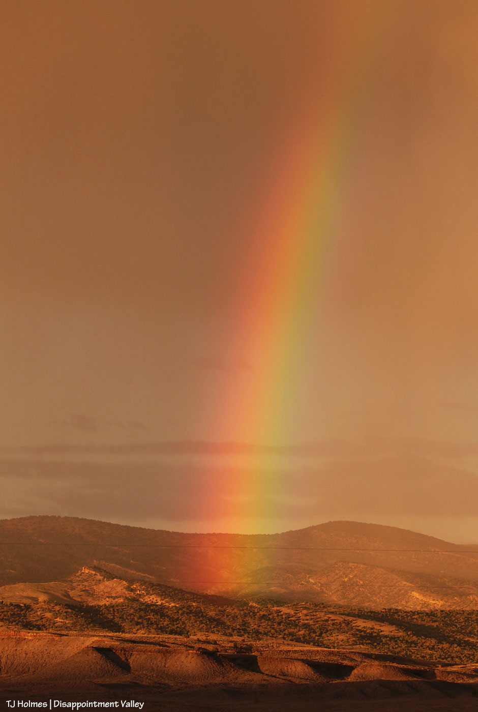
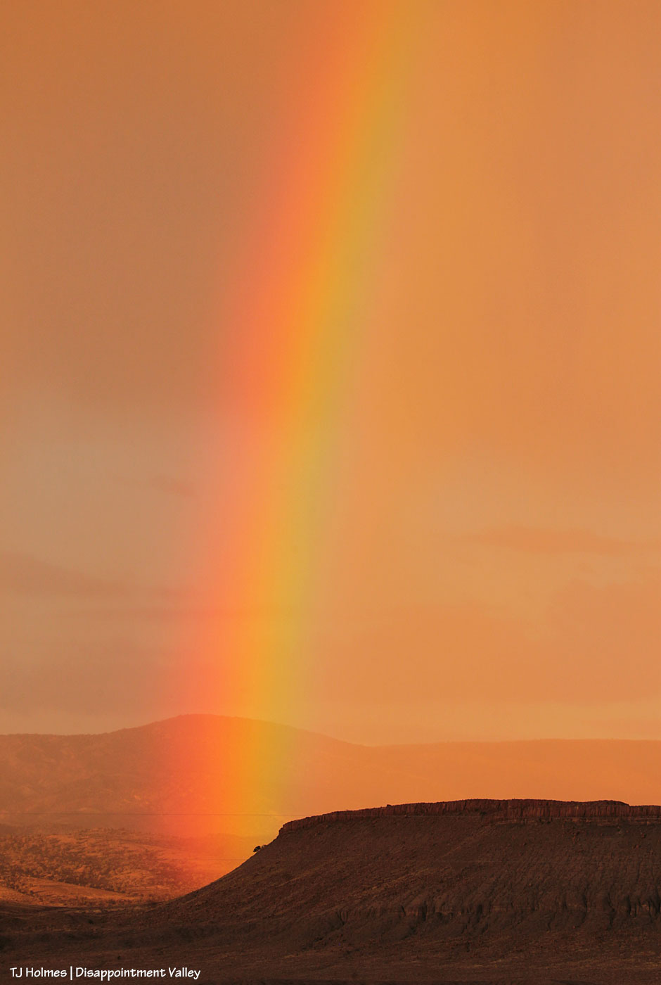
(These images were taken from outside Spring Creek Basin, southwest of the western boundary. The first three pix are looking far to the southeast. The last two are looking northeastish; the rimrocks form the basin’s western boundary, and the middle-ground treed ridge(s) are in the northwestern region of Spring Creek Basin. After sunset and and faded rainbows, a curtain of rain swept through the basin and on across the northern hills of Disappointment Valley. All kinds of perfect!)
We have had a pretty amazing surge of rain this fall – contrary to the forecasts for a dryer-than-usual fall. Or maybe that was for Colorado in general, which doesn’t seem to remember sometimes that our southwestern corner IS, in fact, still within the Centennial State’s borders. (And although we’re still dry – we *are* high desert, after all – other parts of Colorado are in (much) more severe drought than we are now. The U.S. Drought Monitor has reduced us to “abnormally dry.”)
Lower Disappointment Valley (as the elevation changes – and it changes rather dramatically from upper to very lower – rainfall amounts vary wildly) has gotten at least 1.84 inches of rain just in October. … Are you paying attention? That’s just the last few days! To put that in perspective, we got just 2 inches of liquid moisture between last Dec. 1 and this April 1 (that’s liquid from snow). Wowza.
We’re kinda dancin’ a bit ’round here. 🙂

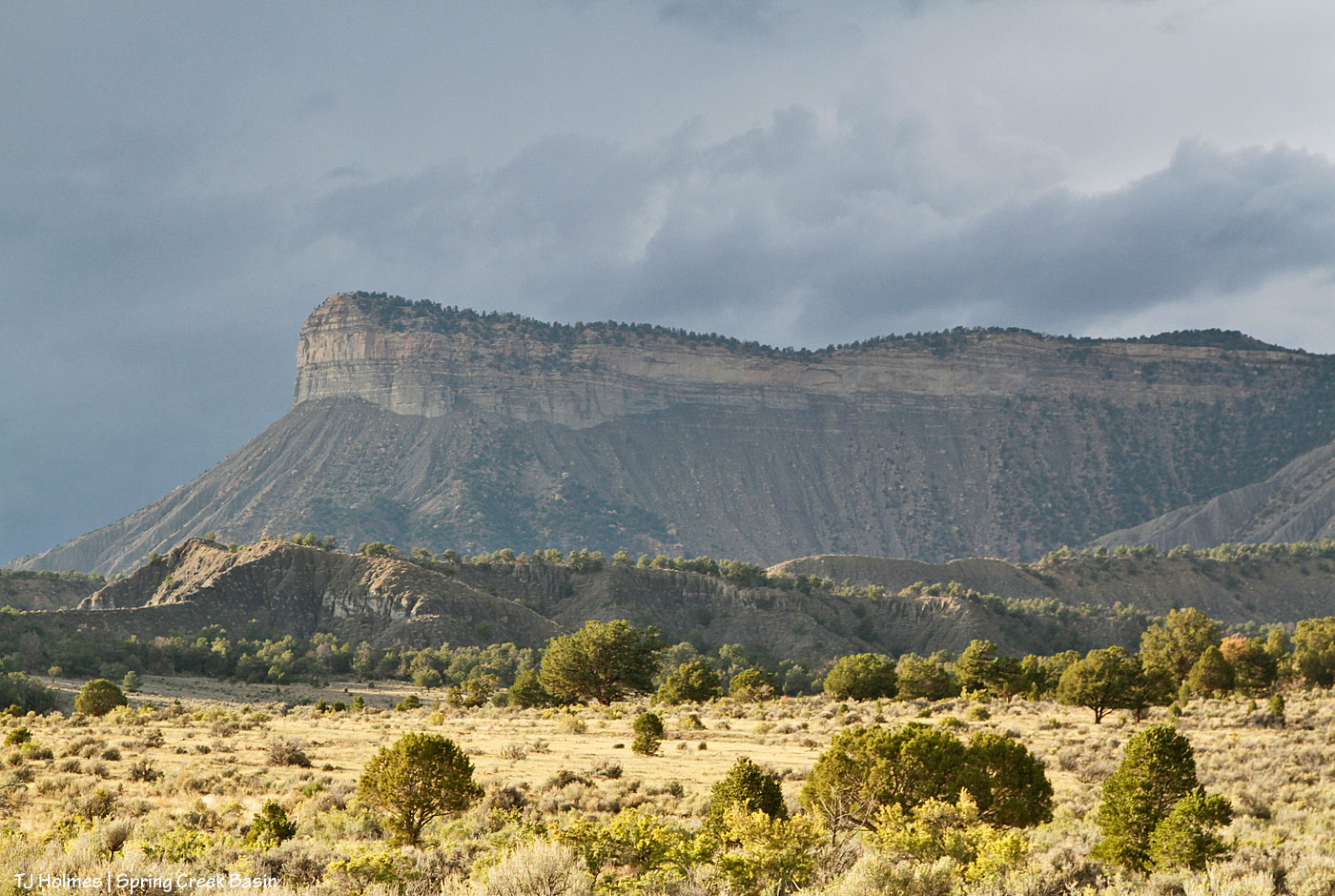
The pix in this post are of Temple Butte … different perspectives than normally seen from the interior of Spring Creek Basin. The top pic was taken from southeast of the southernmost basin boundary (Spring Creek Basin is basically on the *other* side of it from that perspective), and the one above was taken from below the last/southern/southeasternmost drainage in the basin – both from Disappointment Road.

Beauty, even in the shadows.

A telephoto lens compresses landscapes; these landforms aren’t nearly as close in reality as they appear to be in the above photo. … But it sure is dramatic, adding to a beautiful view of a little band in the late evening sunlight.
**********
If you’re local, please join me and Kathryn Wilder, author of “Desert Chrome: Water, a Woman, and Wild Horses in the West,” at 5:30 p.m. Tuesday, Oct. 4, at Cortez Public Library. Kat will read from “Desert Chrome,” and we’ll talk about the mustangs of Spring Creek Basin and our partnership with our Tres Rios BLM folks.

Maiku was doing a little visiting the other day. Just checking out a couple of neighboring bands. He and two bachelors had a friendly chat, and then they all went back to the business of grazing – and drinking. In the background are the rimrocks above Spring Creek canyon, and Spring Creek was running that day after a rain.
We all love it when water is so convenient!
