I think this might be the last of these types of pix; they’re a little harder to compile than I thought they’d be when I had the great idea (and I think it WAS a pretty good idea!). Well, not actually *hard* as just taking a fair bit of time. 🙂
These before-and-after pix are going to be of down-valley Disappointment Creek and Spring Creek where it runs under Disappointment Road north of the aforementioned spot on Disappointment Creek that also runs under the road. These “down-valley” creek sections refer to what’s locally known as the Daddy Williams bridge (?) over Disappointment Creek, just south of Road K20E (the road that goes from Disappointment Road (also called 19Q on the San Miguel County side)), and north of Road K20E where Spring Creek runs under Disappointment Road. Give or take, Spring Creek runs under the road about three miles (I’m going by the distance of K20E between 19Q and the western Spring Creek Basin boundary) outside/west of Spring Creek Basin. (Reminder, Spring Creek is not an abbreviation of Spring Creek Basin, which is not abbreviate-able; Spring Creek and its tributary arroyos drain Spring Creek Basin … never so obviously as times like these!)
I’m sure that if you’re not local and/or have never been here, that’s just about as clear as our muddy creek water. The biggest takeaway is that these pix of the flooding at Disappointment Creek are at a different bridge from the earlier pix – downstream and west of those pix.
(I finally got into Spring Creek Basin yesterday afternoon/evening, but I got distracted and didn’t actually make it to even the first Spring Creek crossing. 🙂 I’ll get there … but also, it is MUDDY, and there has been significant road erosion. … The hunters are coming into the valley, of course, but those folks have been uncharacteristically cautious about K20E (thankfully). Third rifle season (the busiest/worst) starts Saturday and runs through the following Sunday.)
Let’s talk water. Well, I’ll show; you gasp appropriately. 🙂
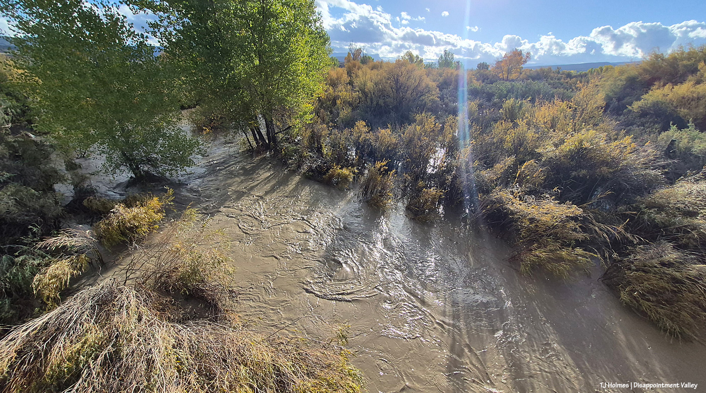
Here we are Oct. 23 at the Daddy Williams bridge looking upstream/east (you can see Temple Butte just about dead center in the way, way background). This is a fairly narrow creek bed at this point. Other than knowing you’re crossing a bridge, it’s easy to drive right across and not realize there’s water flowing, even when it’s flowing normally (in the spring, say). To jog your memories (and mine), the first big rains started Wednesday, Oct. 21 and continued through Thursday, Oct. 22; the above was taken Oct. 23 (for various reasons, I went up-valley first (Oct. 22) and didn’t make it down-valley to this point and Spring Creek until the 23rd).
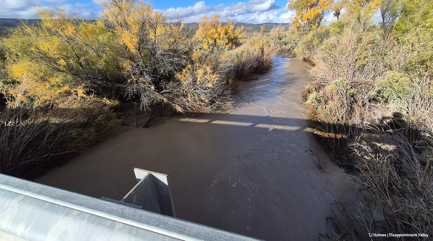
And on the other side of the bridge, looking downstream/west.
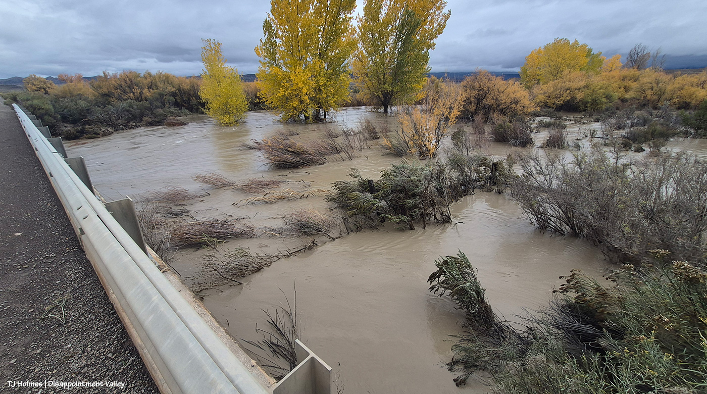
Now we jump to Nov. 2, the day after the all-day rain Nov. 1 and into the morning of Nov. 2. Apparently, with the creek “down” after Oct. 26, I didn’t think it warranted any more pix there. The creek’s flow HAD dropped significantly between that rain and this rain. The above is looking at the same side of the creek as two pix above: This is the upstream side, but I’m at the south end of the bridge where earlier, I was at the north side looking southish. But surely you see the MORE, the GREATER amount of water?? The lower right corner of the pic shows a fence corner; you can see about a foot of two of the corner H-brace posts. When Larry W had passed this spot on his way up-valley earlier that morning, before I talked to him, he said there was only about 6 inches of the posts showing, so the water level was already down a bit at this point.
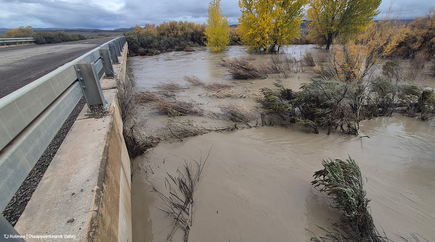
The *usual* middle of the creek flows under the bridge section farthest from me; the water was not super far below the bottom of the bridge. A neighbor said that farther downstream, the water had actually flowed over another bridge.
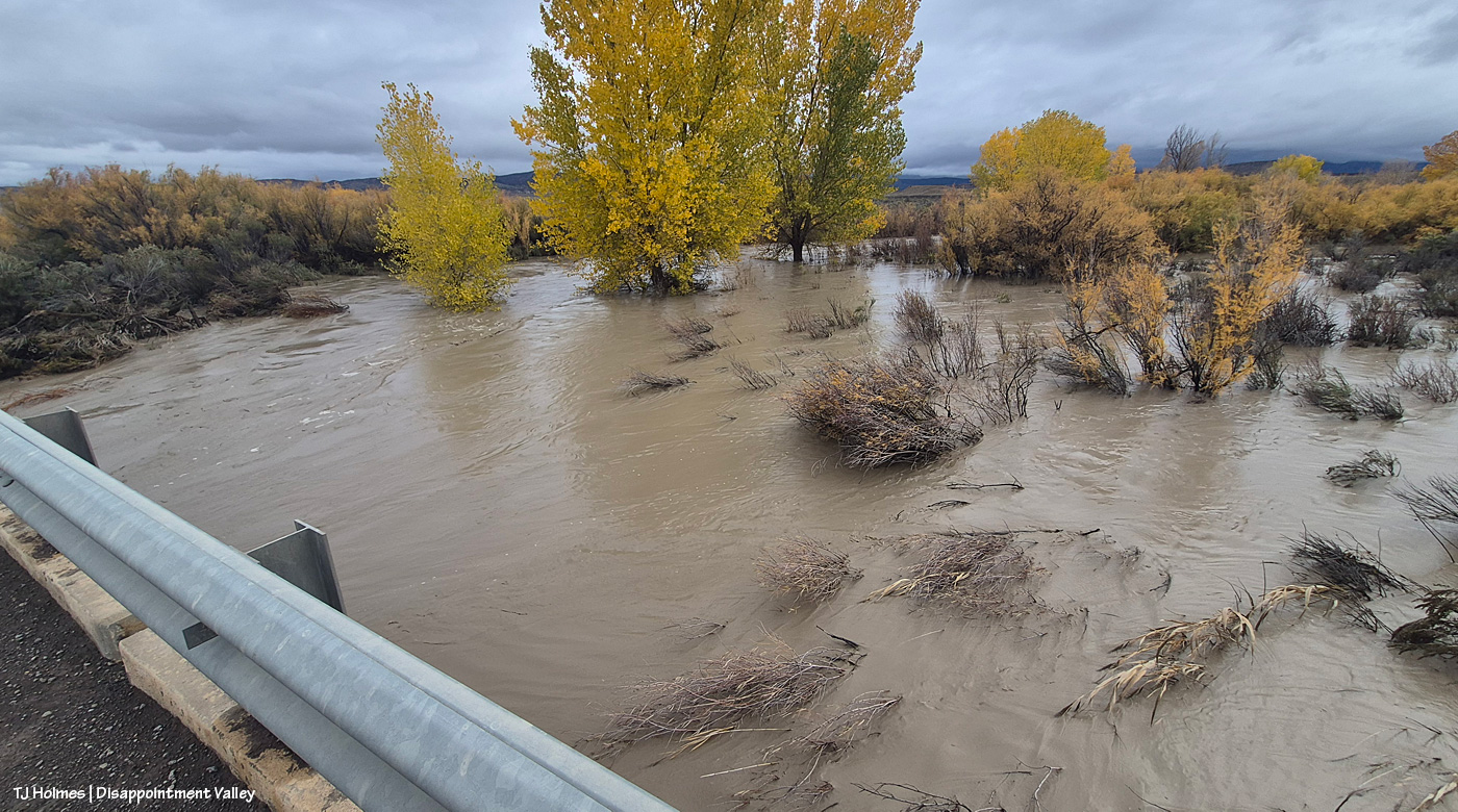
Just another wide view, still looking upstream. … Lake Disappointment looked like a gentle pond compared to this complete overflow of Disappointment Creek’s banks here.
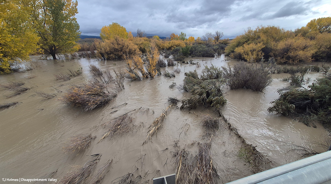
And another view; the fence corner at lower right might be a bit more visible in this image. This area is NOT usually under water … like, AT ALL.
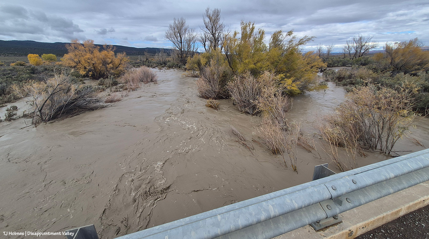
And now on the west side of the bridge, looking west/downstream.
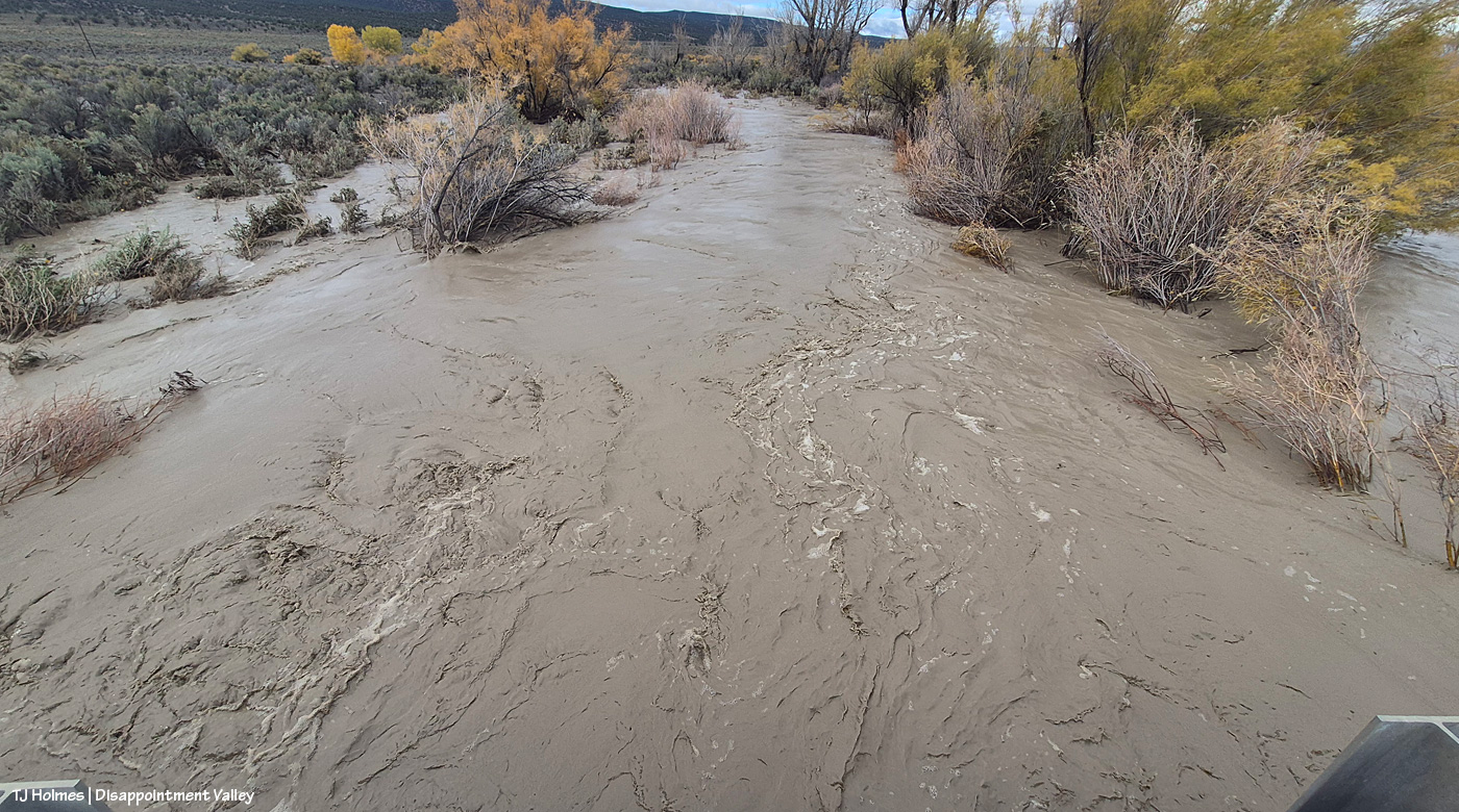
I will admit that standing there, I kinda lost track of where the actual creek bed was.
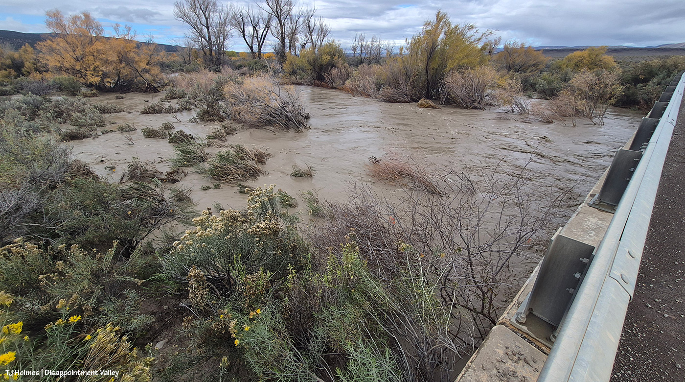
The sheer volume of water was … jaw-dropping and gobsmacking. And while the first pix were after two days of rain (and the level was down by the time I got there to see it), these pix, from Nov. 2, were after about 24 hours of rain. Crazy, crazy.
Now let’s head north/down-valley to the Spring Creek bridge:
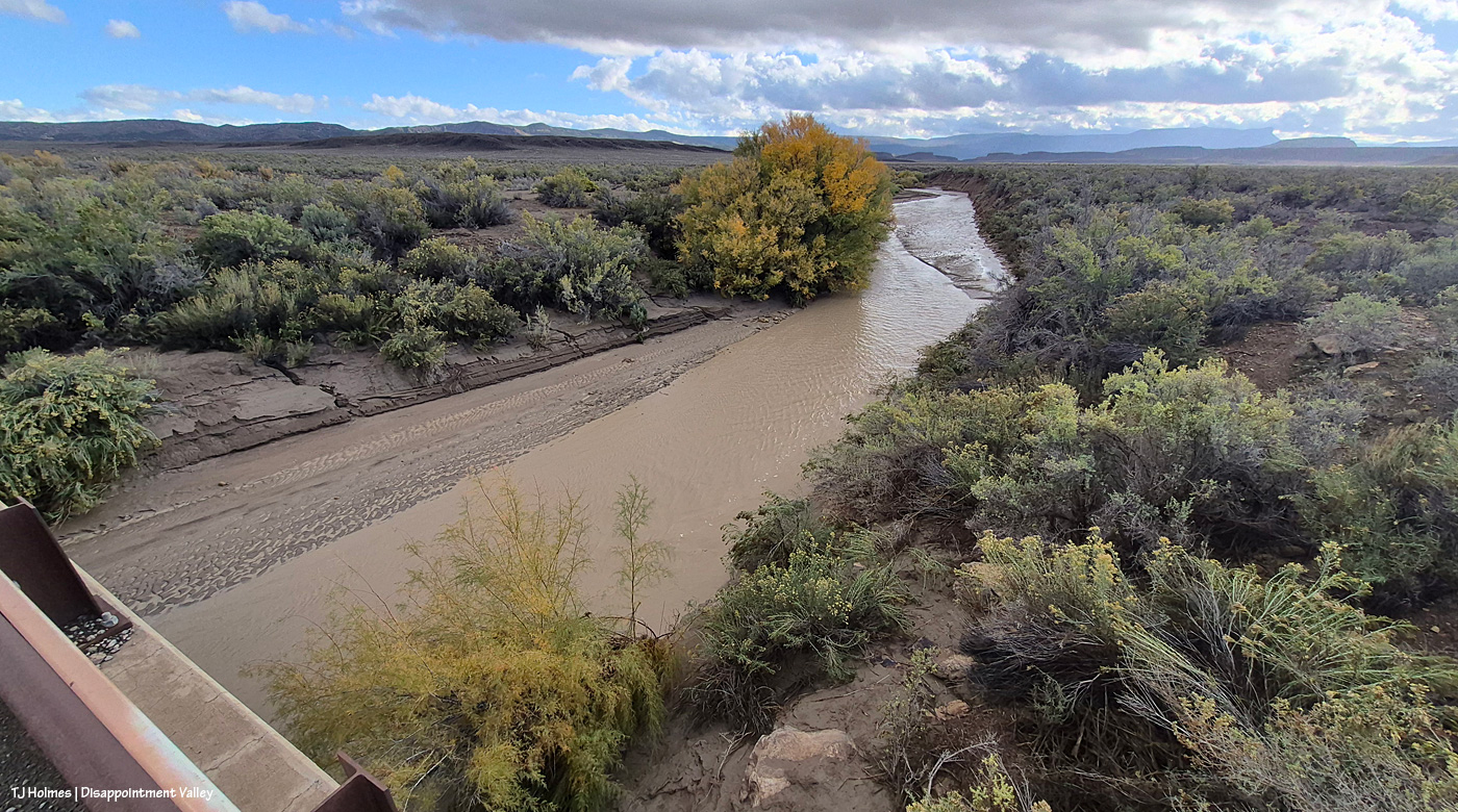
And back to Oct. 23: This is Spring Creek, flowing toward us out of Spring Creek Basin; Filly Peak and Temple Butte are at far right … and you can see the rimrocks that form the basin’s western boundary. Look along the far bank of the creek. See how far the water level had come down from high flow? By step-measurement (on the bridge), I figured it was about 15 feet from the edge of the current water flow to the high-water mark.
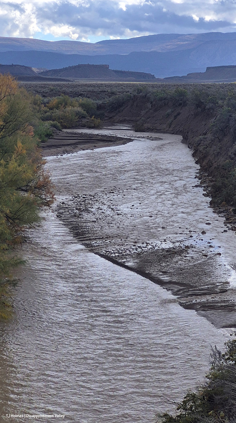
Looking way back east upstream to Spring Creek canyon where all the water collected in all the arroyos in Spring Creek Basin LEAVES Spring Creek Basin. The dark ridge is the basin’s northeastish boundary; the ridge that meets the sky is outside/beyond the basin. You can also see the way the water carves the bed of the creek in this pic; that’s all waterflow, but the main channel is to the left, while a shallower layer of water comes straight toward us over a bit of a “beach.”
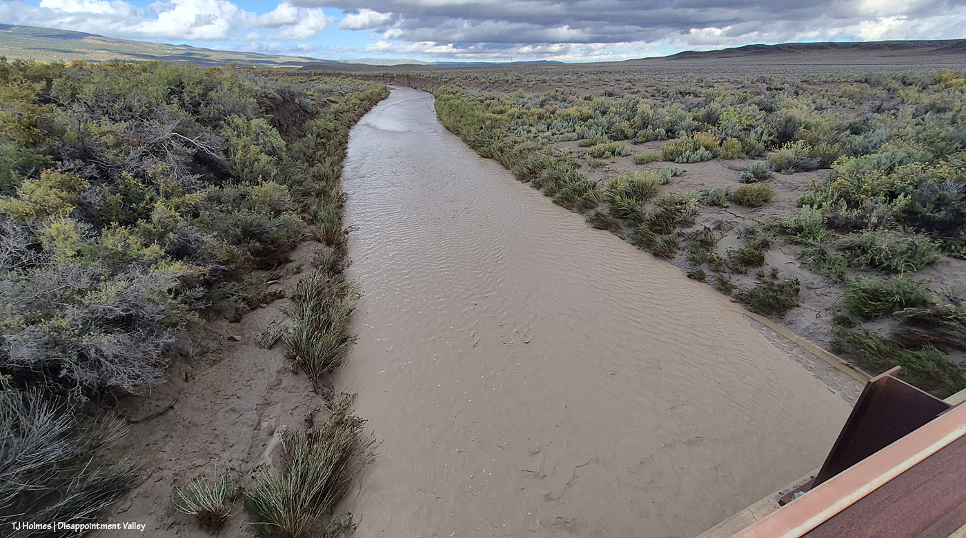
And rolling on away west toward its confluence with Disappointment Creek. The creek bed for Spring Creek here is much wider than that of Disappointment Creek … and I’m sure the water wasn’t nearly as deep because it’s so broad (also, the watershed is much more limited than what feeds Disappointment Creek).
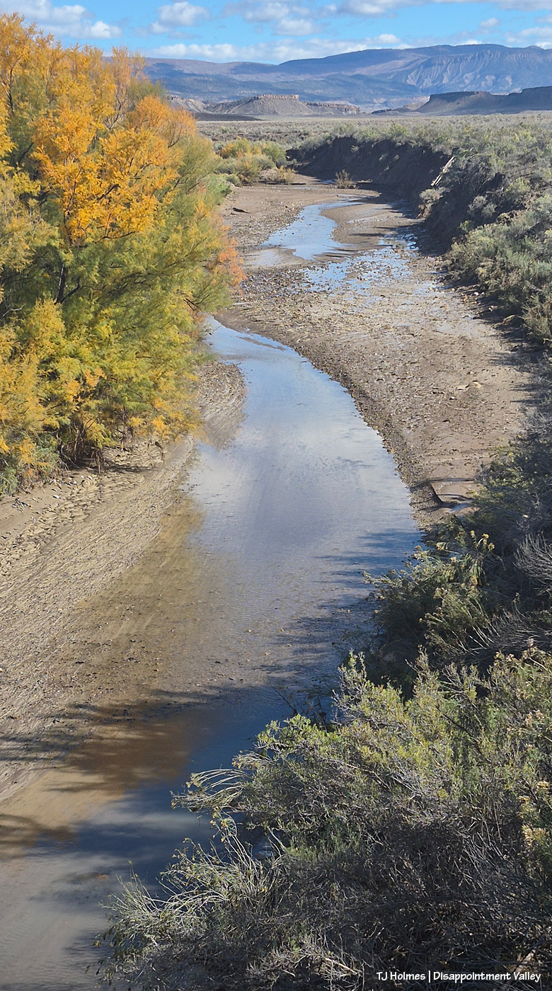
The view of Spring Creek upstream on Oct. 26.
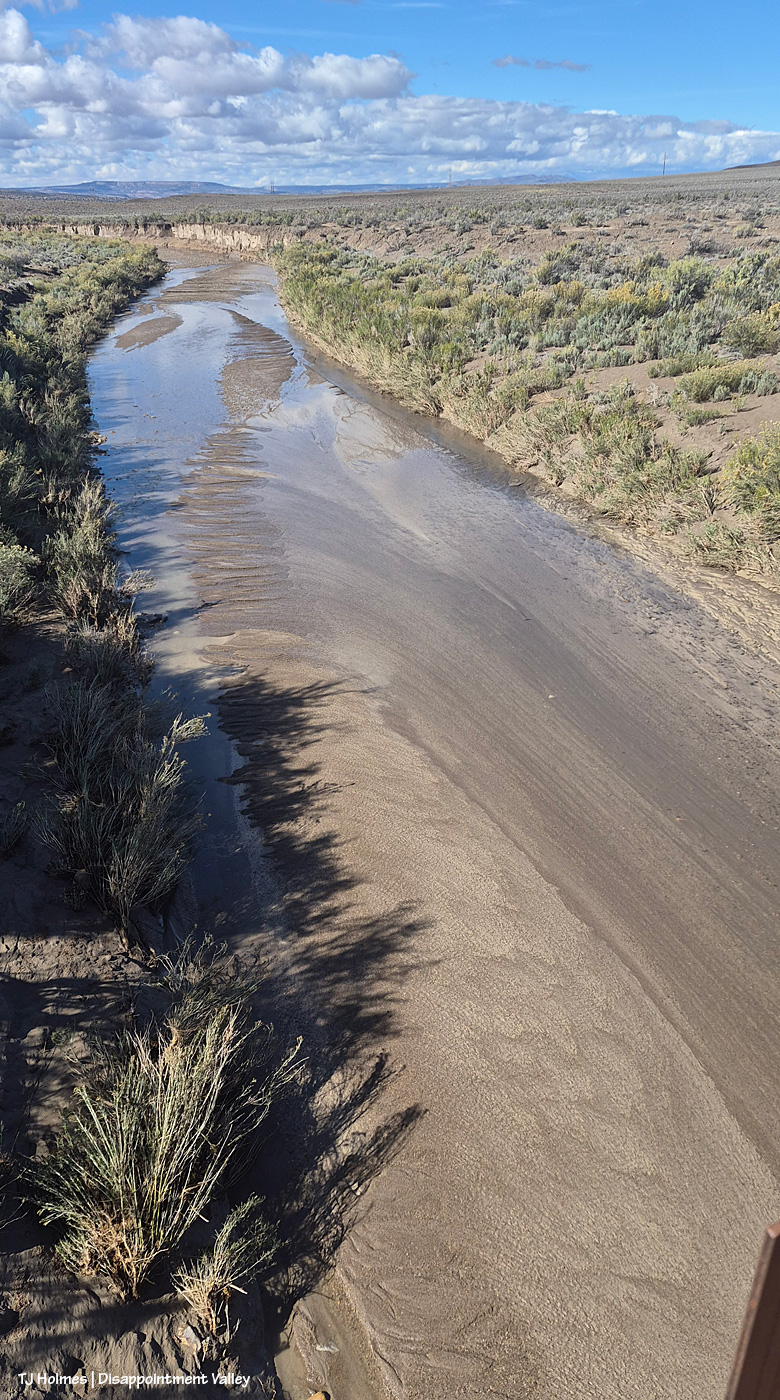
The downstream view.
Now heading back up-valley, still Oct. 26:
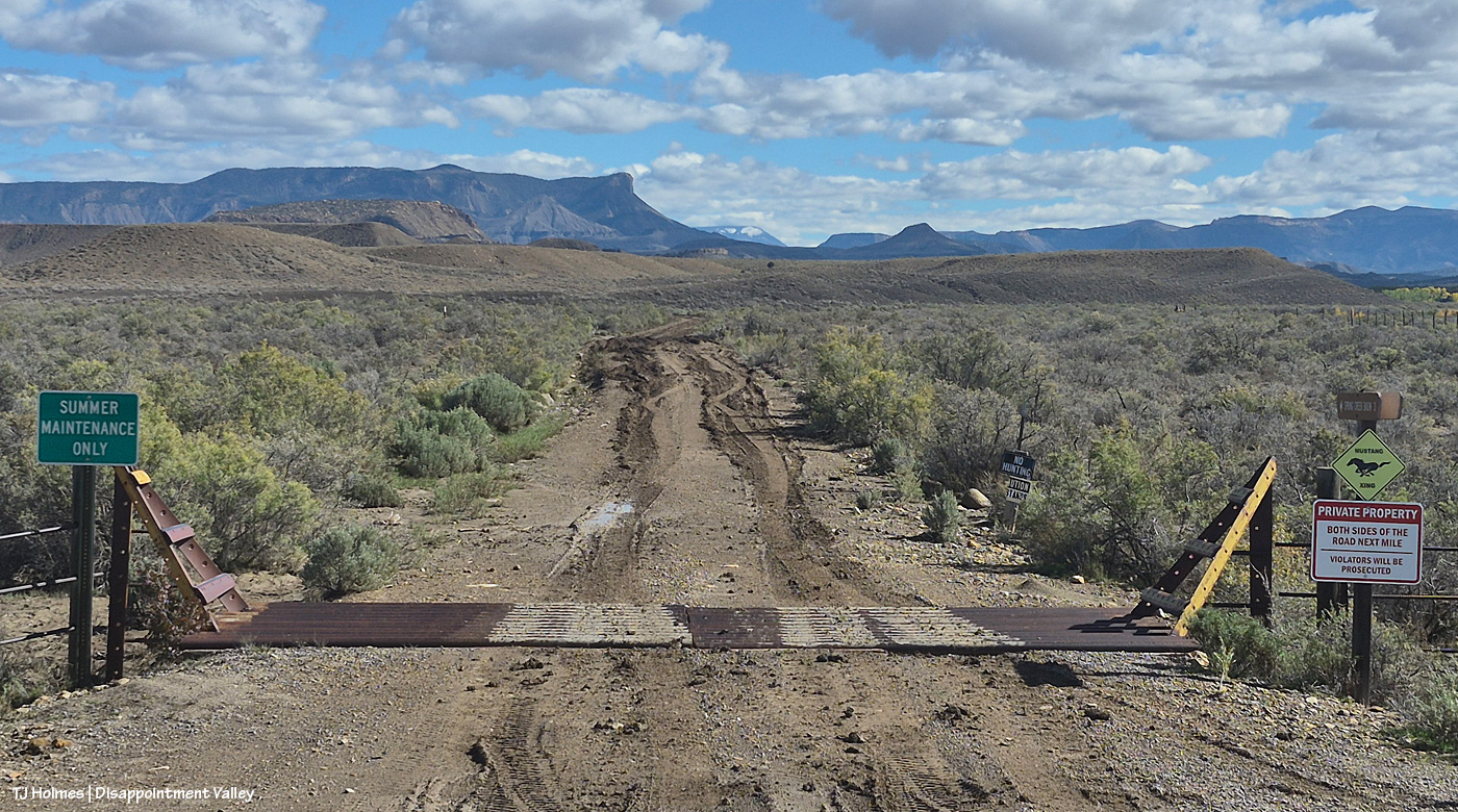
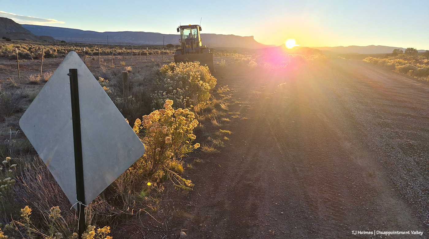
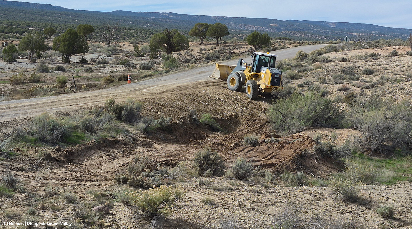
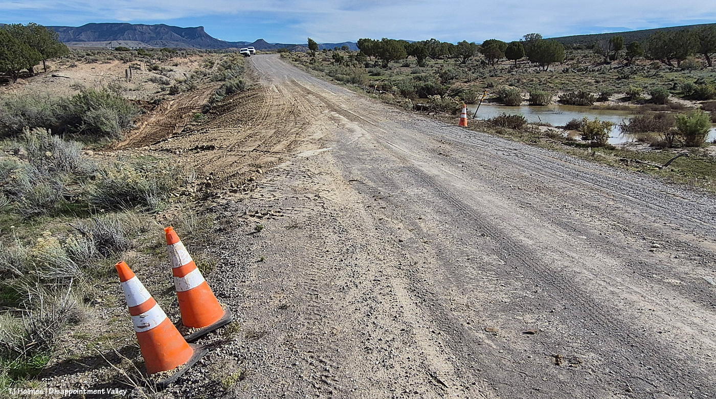
Looking east/southeast at Road K20E from Disappointment Road/19Q. … On the left side, closest to us, the owner of those ruts was a couple of inches from the ditch (which is at least a foot deep). Beyond that? Yeah, they went into the ditch. I’m not sure whether those tracks/ruts were going east or coming west, but good grief. … They get worse for the first mile or so. Oh yeah, and at least one vehicle (there had to be at least two) had chains on its tires. K20E is NOT an all-weather gravel road like Disappointment Road; it’s basically a dirt path through the greasewood. It. Is. A. MESS. When. Wet. … Somebody had some “fun”; I’ll be wobbling through those ruts for the foreseeable future.
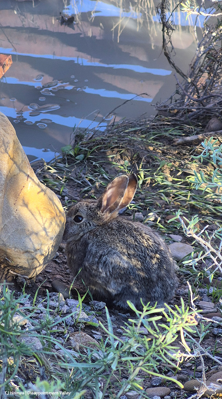
Cutie. I found this little critter under the right side of the above cattle guard. That’s water beyond it, reflecting the cattle-guard pipes and the sky above.
Now fast-forward to Nov. 2, after the one-day rain:
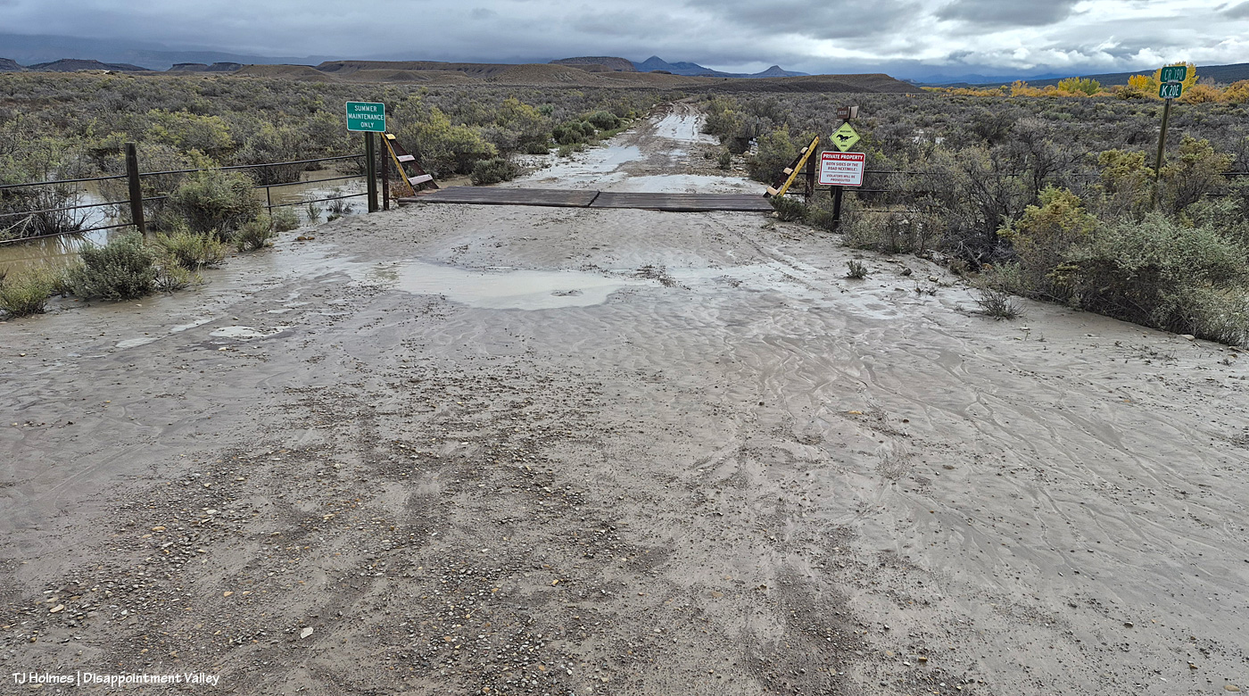
Yikes. Lemme tell you, when the mud in Disappointment Valley looks like that, you do NOT want to test it. That’s what I think of as “pillowy” mud. I’m sure there’s some technical term, but it is soft, it is deep, and it will suck your tires into a quagmire you will be hard pressed to get out of (without help; with help, heaven help your helper). See the line of cottonwoods at left? The down-valley Disappointment Creek bridge – aka the Daddy Williams bridge – is about 100 yards to my right. As in a couple of pix above, I am standing on Disappointment Road/19Q looking east/southeast at the start (or end) of Road K20E toward Spring Creek Basin; you can see McKenna Peak and Brumley Point in the far distance, but Temple Butte has its head in the clouds (heh).
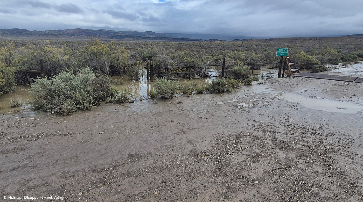
I think water overflowed Road K20E, and if you look at the standing water at left, I think that’s where a good bit of it came from, though there was also water to the right, between the road and Disappointment Creek. That standing water extends far north on the east side of Disappointment Road – still, now, Nov. 6.
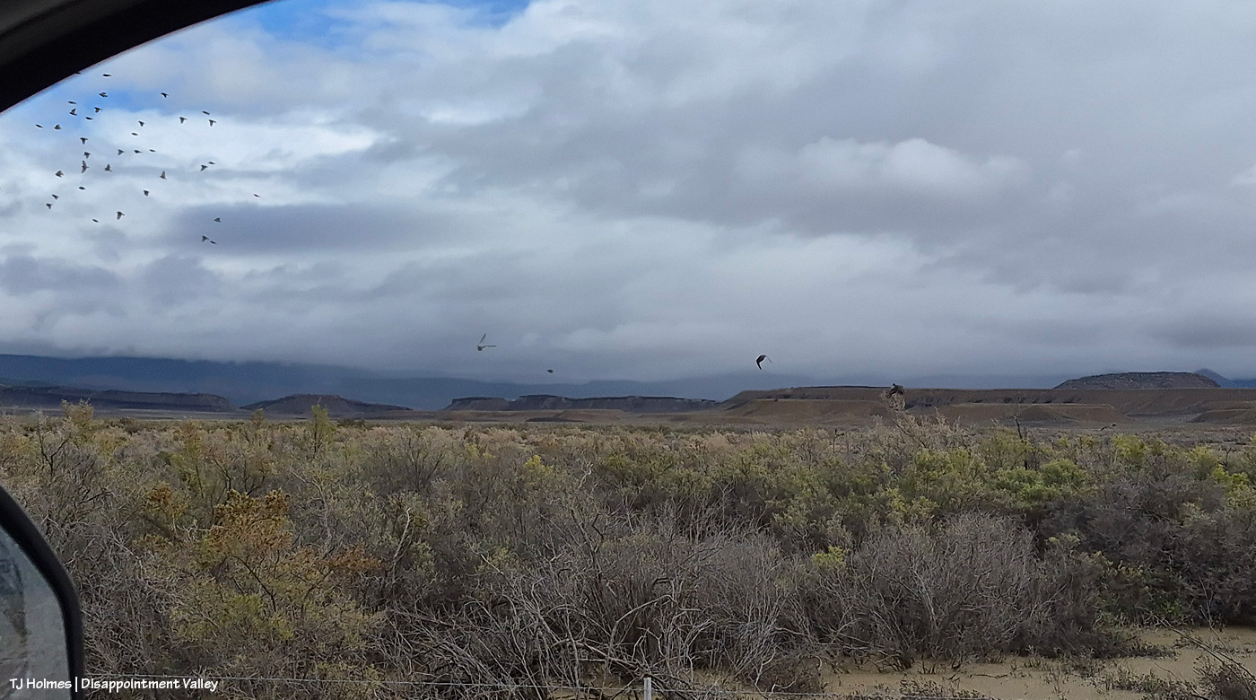
See the water at lower left? That’s part of the water from the pic above. Spring Creek Basin beyond the rimrocks in the background. As I was driving north, I scared up three mallard ducks, if you can believe it! I don’t know what kind of birds were in the flock, but you can see the ducks in the center.
Lake Disappointment may have to shift locations; I still haven’t seen ducks on that “body” of water. 🙂
And on that uplifting note, I’m going to end the post here, the flooding having been pretty well documented at this part of the valley now, as well as farther up-valley.
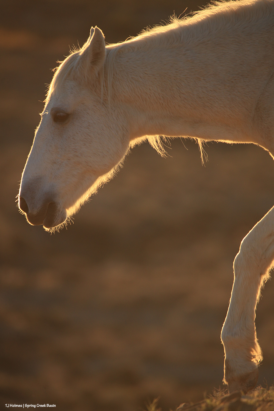
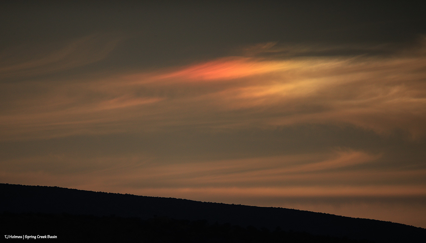
But … in honor of only my second visit to the interior of Spring Creek Basin in … ugh, I don’t wanna think about it, but WEEKS! … If you have read this far, thank you, and here are a few more, from last evening:
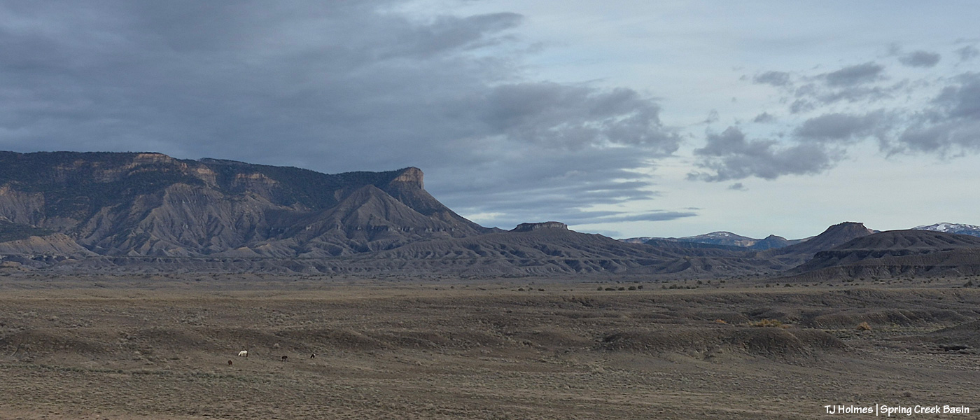
Ponies. 🙂 You’ll think I’m crazy (I am), but I have *missed* them terribly. The landscape doesn’t look particularly green in this direction, but I’ll tell you, in some other directions, the green is nearly electric. Note the snow, still up high-ish, at far right.
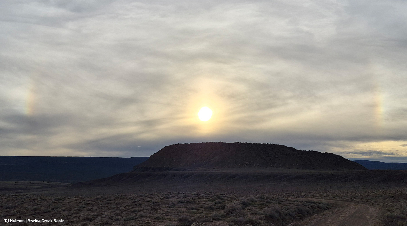
Even Mother Nature celebrated my return to Spring Creek Basin! OK, OK, maybe not, but I was sure happy to see her celebrating another spin of the planet as another day headed toward another night. 🙂
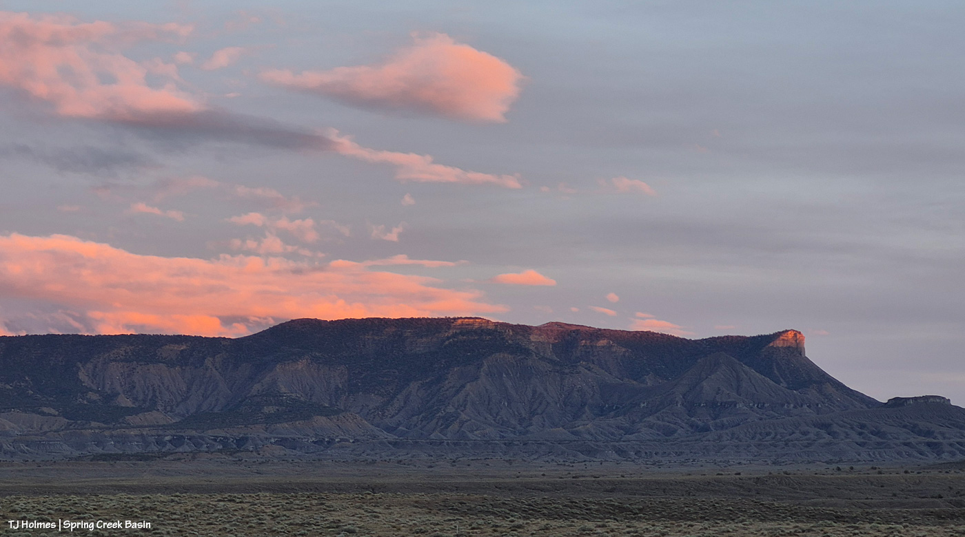
Laaaaaaaaaast light on Temple Butte.
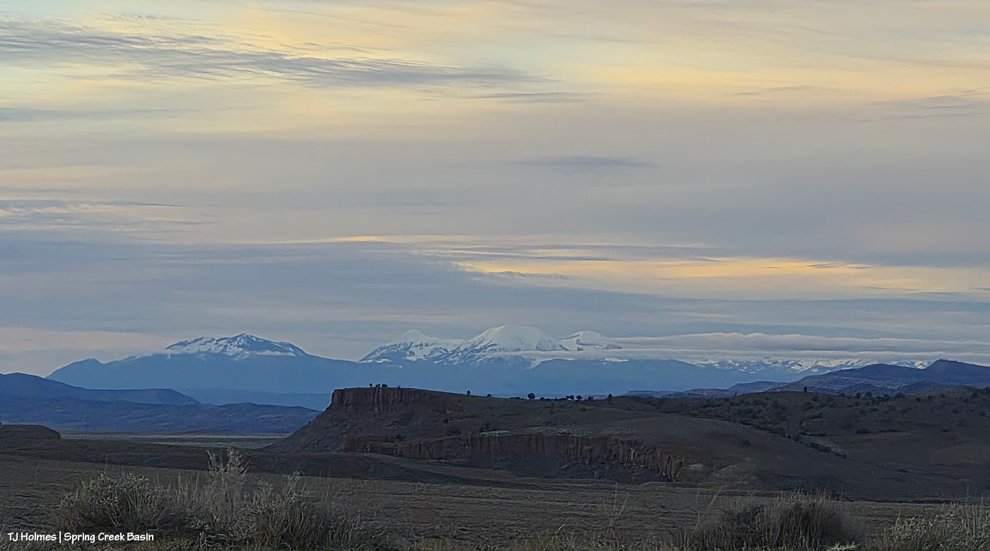
Snow once again on Utah’s La Sal Mountains, far beyond Spring Creek Basin and Spring Creek canyon. … And now you know where Spring Creek runs and what it looks like from the outside looking … toward Spring Creek Basin. 🙂
Thanks for coming along. I’m glad to share the journey(s) with ya’ll.