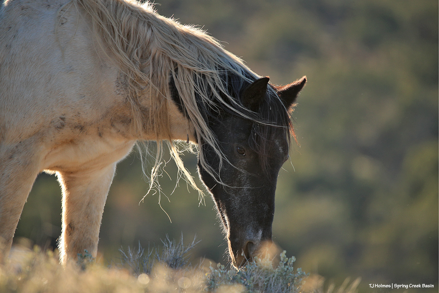
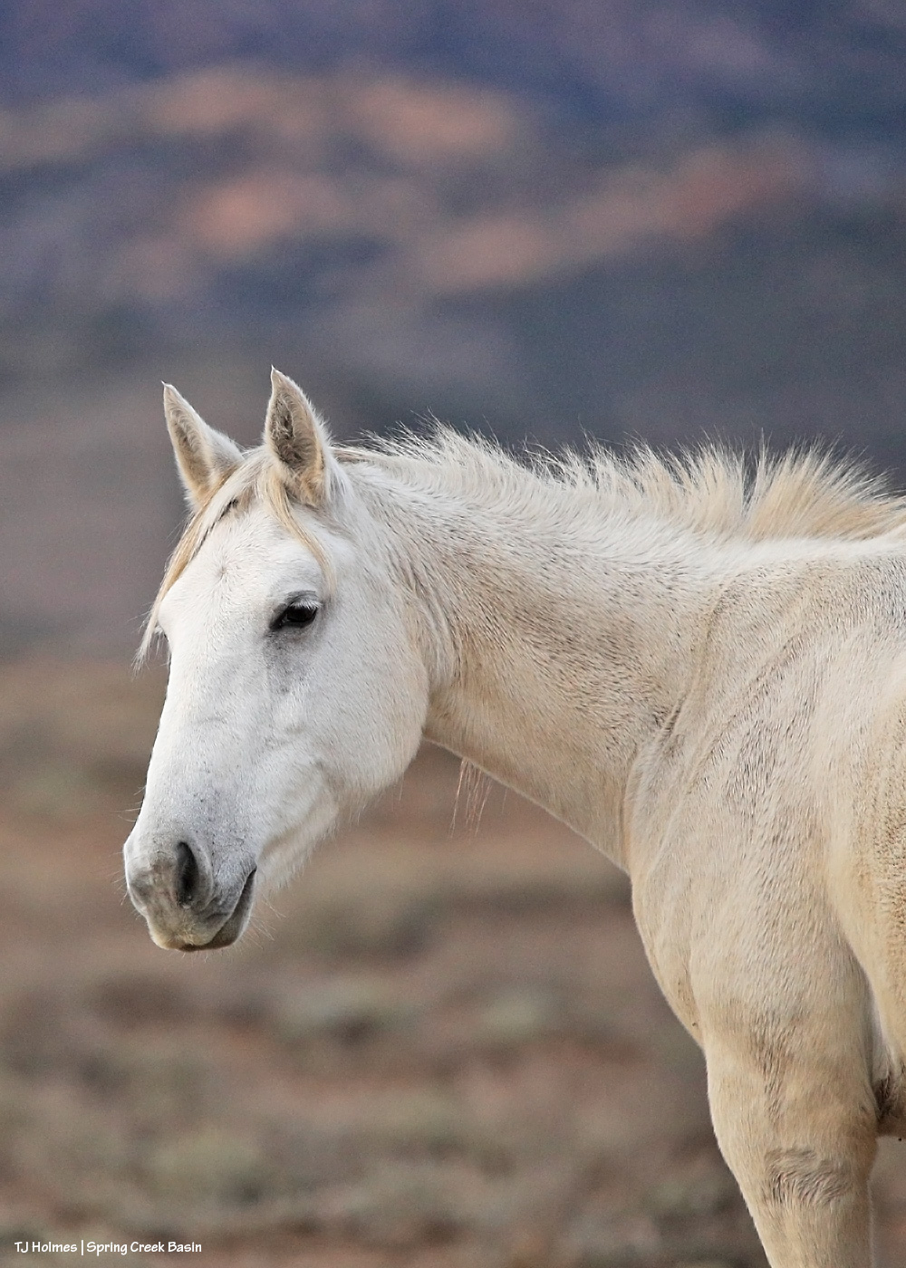
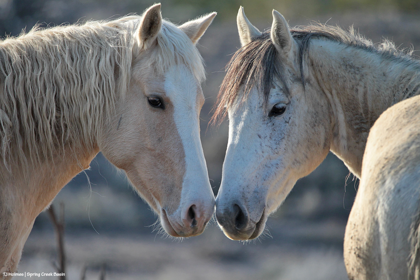
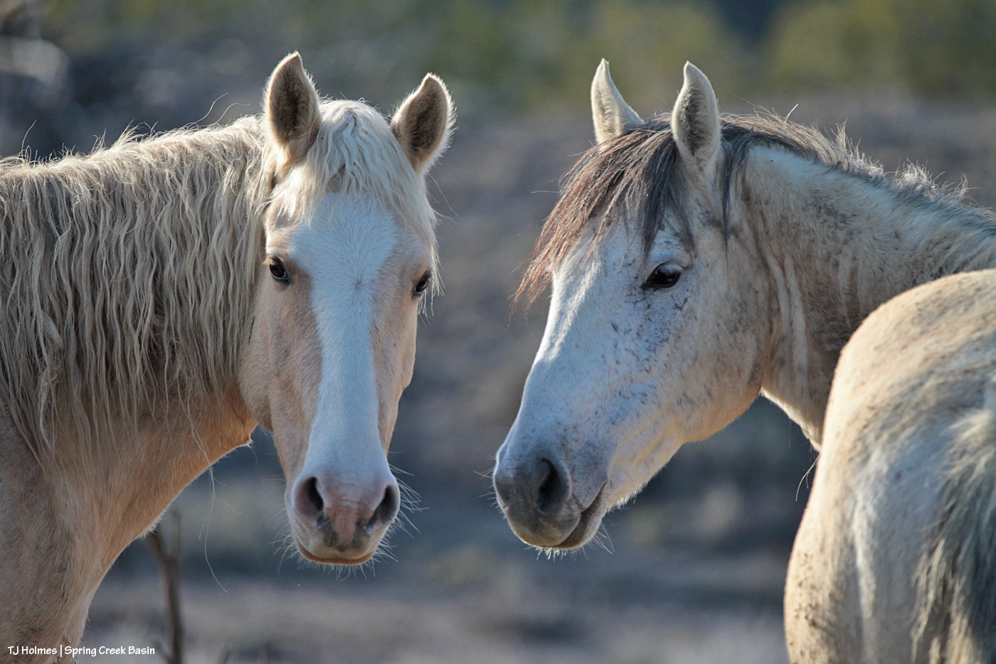
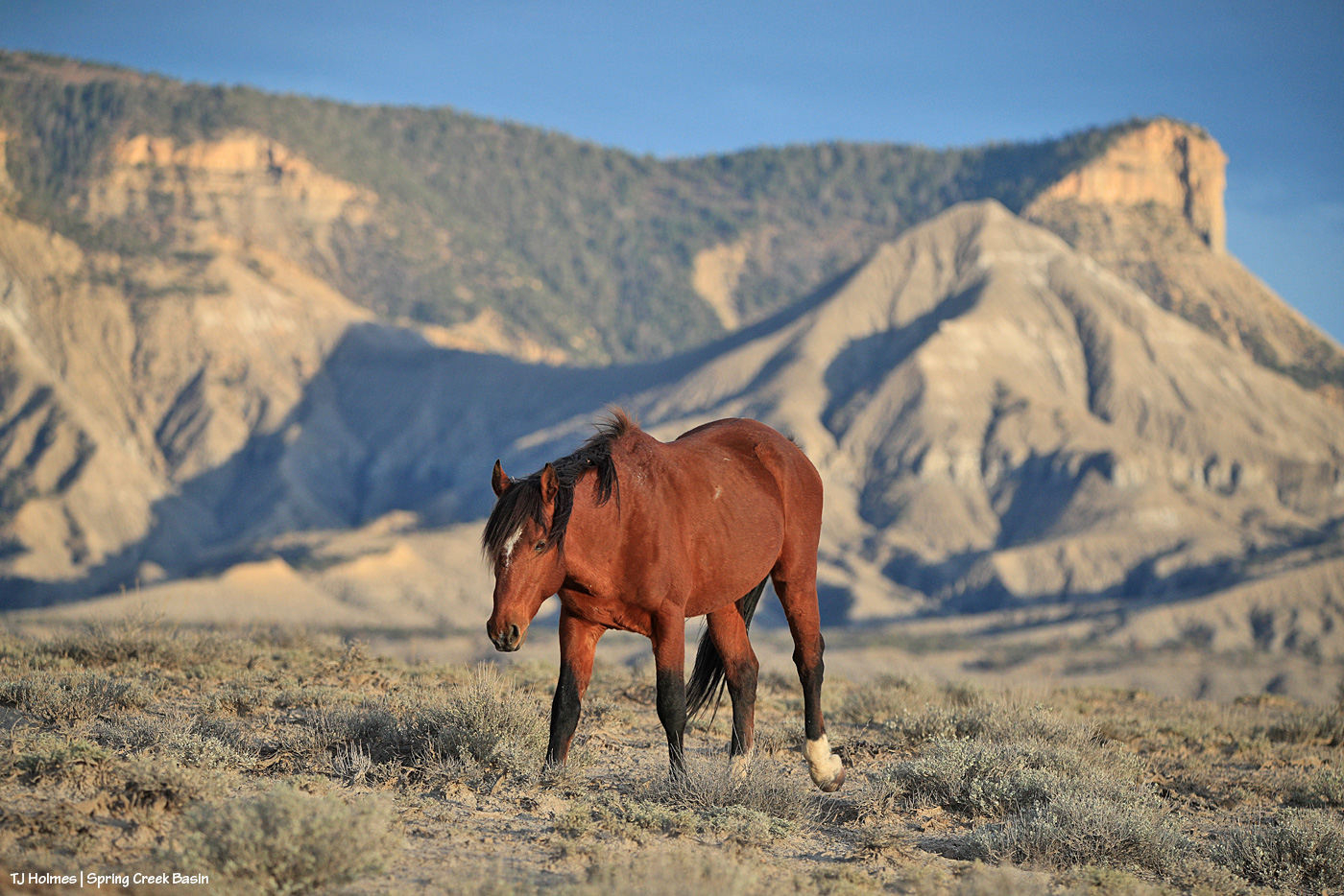
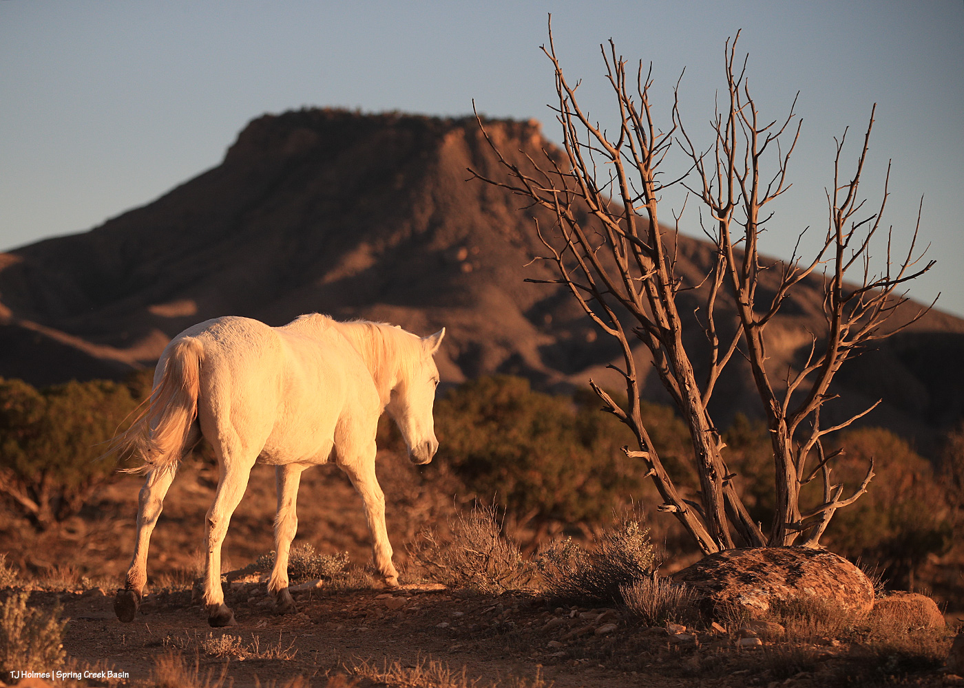
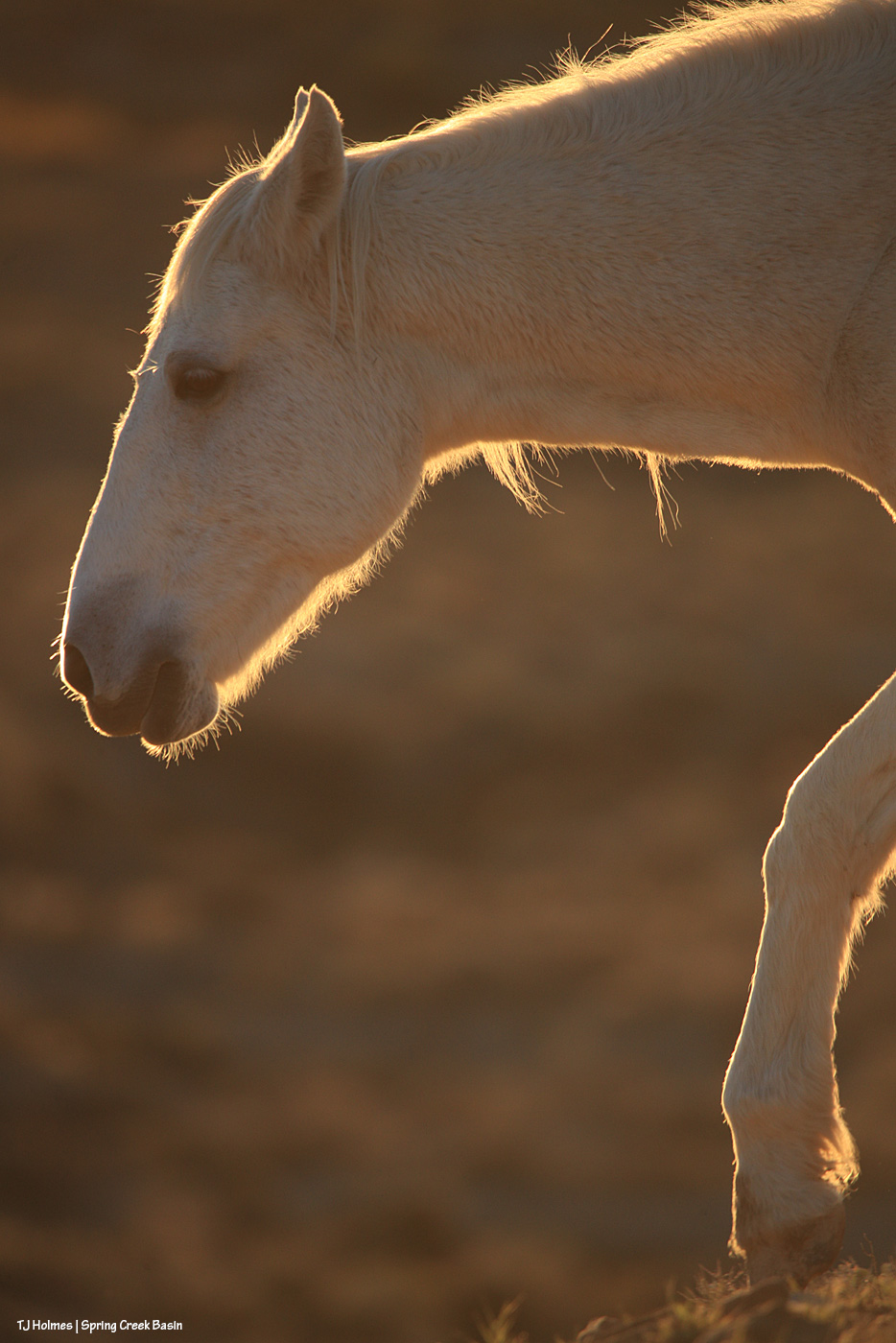
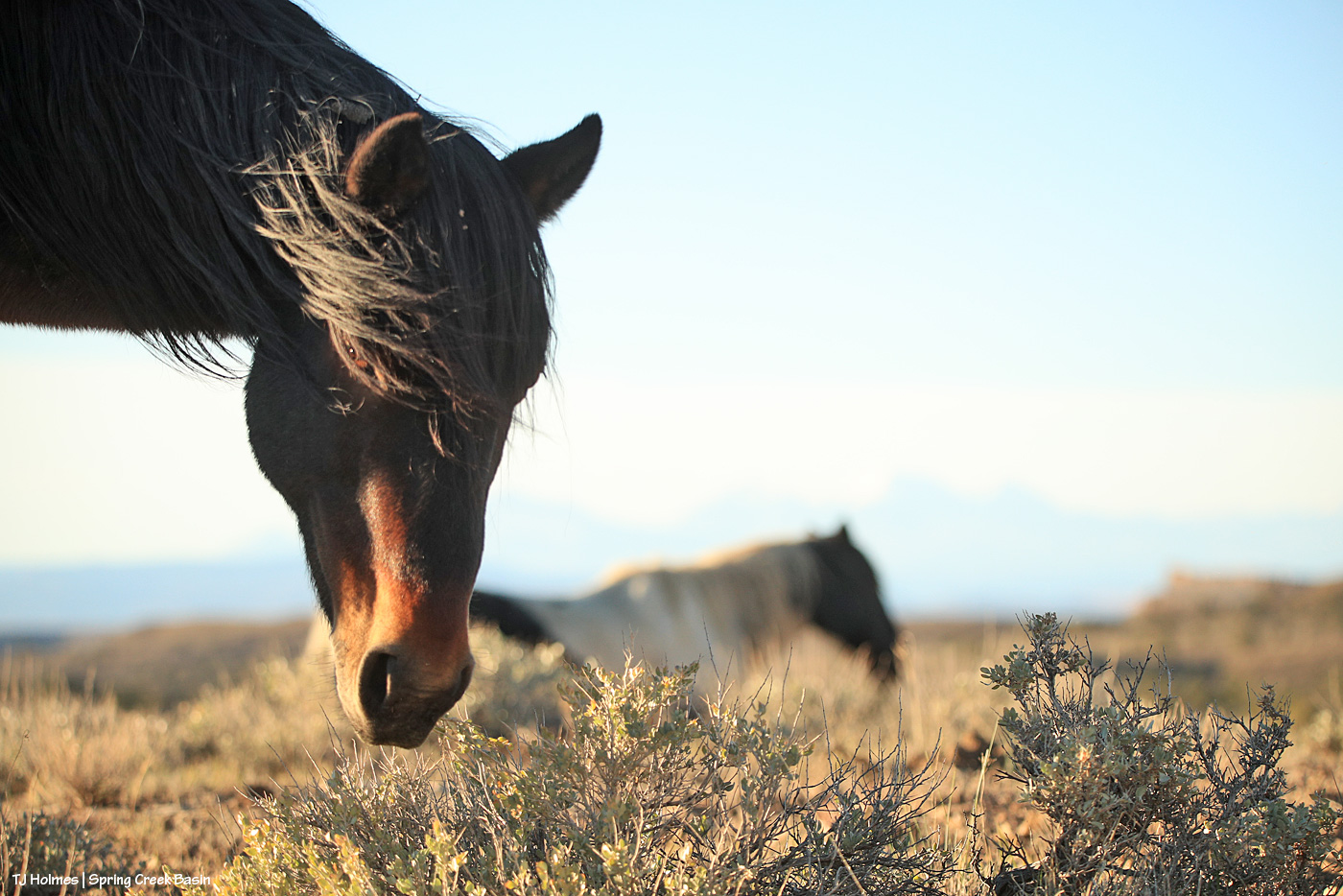
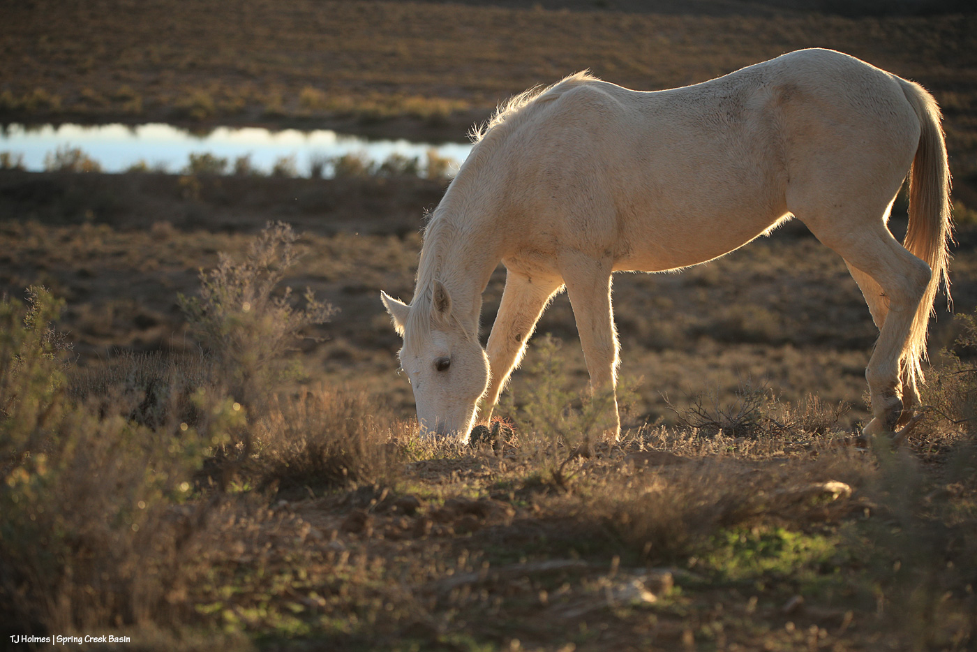
Corazon has waited his turn on the blog for a considerable while now. I’d planned (hoped) to feature him, oh, a week or more ago … and then the next rain hit with the worst flooding. All good intentions, eh?
I always love the challenge of catching this eye-catching guy on digital media (you know, as opposed to film!).
As things start to settle down from the weeks of wild, historic weather, I wanted to share this song I heard on the radio the other day. Huge kudos to all of the folks in all of the flood-affected communities where neighbors are helping neighbors and strangers are becoming friends.
It’s called “Home,” by Dierks Bentley, released back in early 2012 (the year after a significant year/event in Spring Creek Basin).
I think this might be the last of these types of pix; they’re a little harder to compile than I thought they’d be when I had the great idea (and I think it WAS a pretty good idea!). Well, not actually *hard* as just taking a fair bit of time. 🙂
These before-and-after pix are going to be of down-valley Disappointment Creek and Spring Creek where it runs under Disappointment Road north of the aforementioned spot on Disappointment Creek that also runs under the road. These “down-valley” creek sections refer to what’s locally known as the Daddy Williams bridge (?) over Disappointment Creek, just south of Road K20E (the road that goes from Disappointment Road (also called 19Q on the San Miguel County side)), and north of Road K20E where Spring Creek runs under Disappointment Road. Give or take, Spring Creek runs under the road about three miles (I’m going by the distance of K20E between 19Q and the western Spring Creek Basin boundary) outside/west of Spring Creek Basin. (Reminder, Spring Creek is not an abbreviation of Spring Creek Basin, which is not abbreviate-able; Spring Creek and its tributary arroyos drain Spring Creek Basin … never so obviously as times like these!)
I’m sure that if you’re not local and/or have never been here, that’s just about as clear as our muddy creek water. The biggest takeaway is that these pix of the flooding at Disappointment Creek are at a different bridge from the earlier pix – downstream and west of those pix.
(I finally got into Spring Creek Basin yesterday afternoon/evening, but I got distracted and didn’t actually make it to even the first Spring Creek crossing. 🙂 I’ll get there … but also, it is MUDDY, and there has been significant road erosion. … The hunters are coming into the valley, of course, but those folks have been uncharacteristically cautious about K20E (thankfully). Third rifle season (the busiest/worst) starts Saturday and runs through the following Sunday.)
Let’s talk water. Well, I’ll show; you gasp appropriately. 🙂
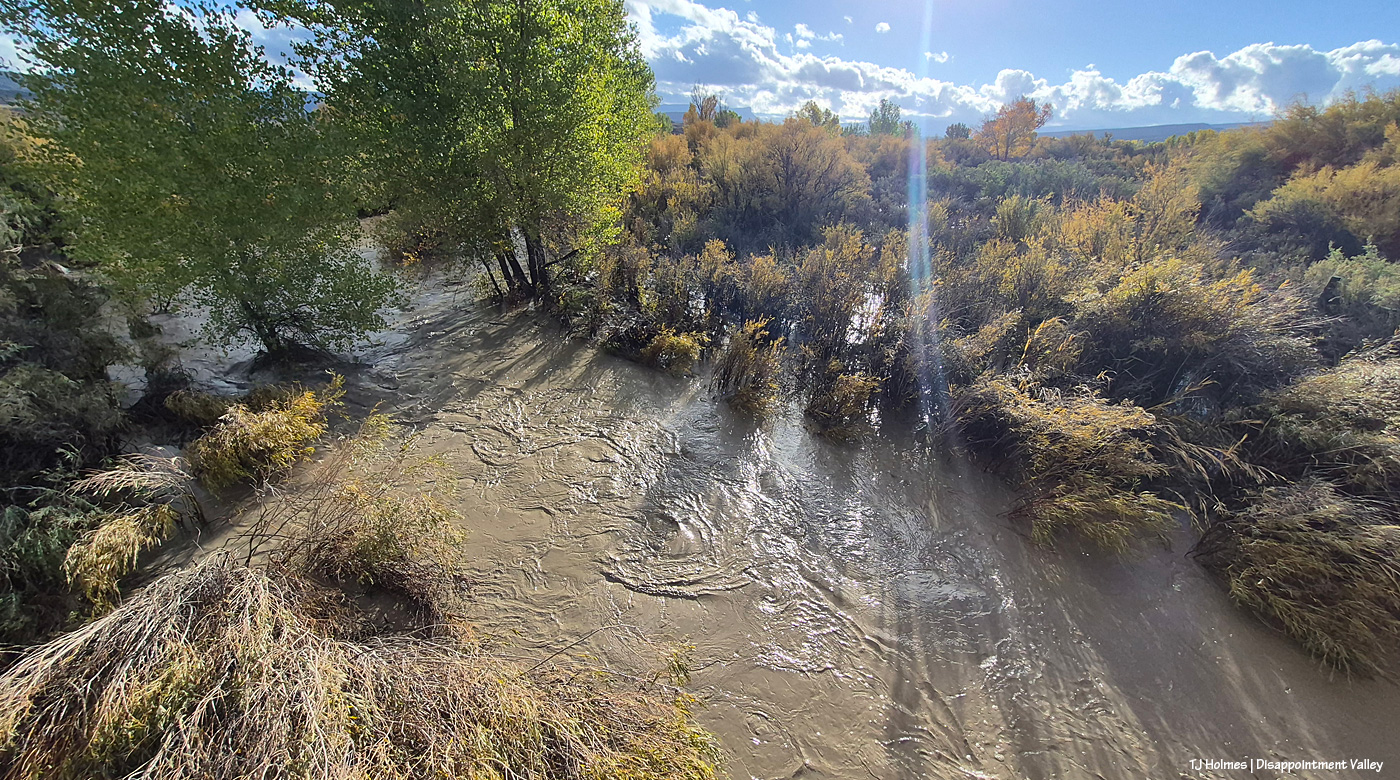
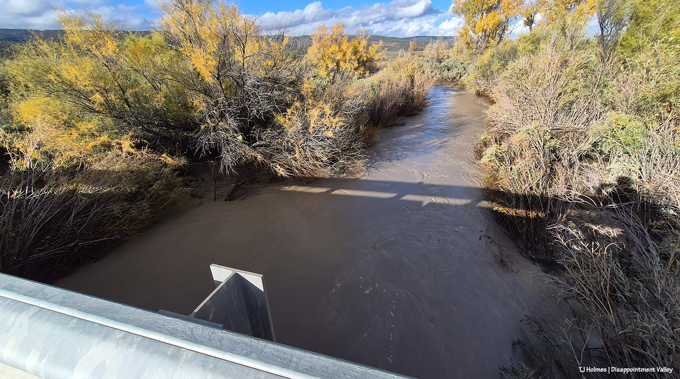
Here we are Oct. 23 at the Daddy Williams bridge looking upstream/east (you can see Temple Butte just about dead center in the way, way background). This is a fairly narrow creek bed at this point. Other than knowing you’re crossing a bridge, it’s easy to drive right across and not realize there’s water flowing, even when it’s flowing normally (in the spring, say). To jog your memories (and mine), the first big rains started Wednesday, Oct. 21 and continued through Thursday, Oct. 22; the above was taken Oct. 23 (for various reasons, I went up-valley first (Oct. 22) and didn’t make it down-valley to this point and Spring Creek until the 23rd).
And on the other side of the bridge, looking downstream/west.
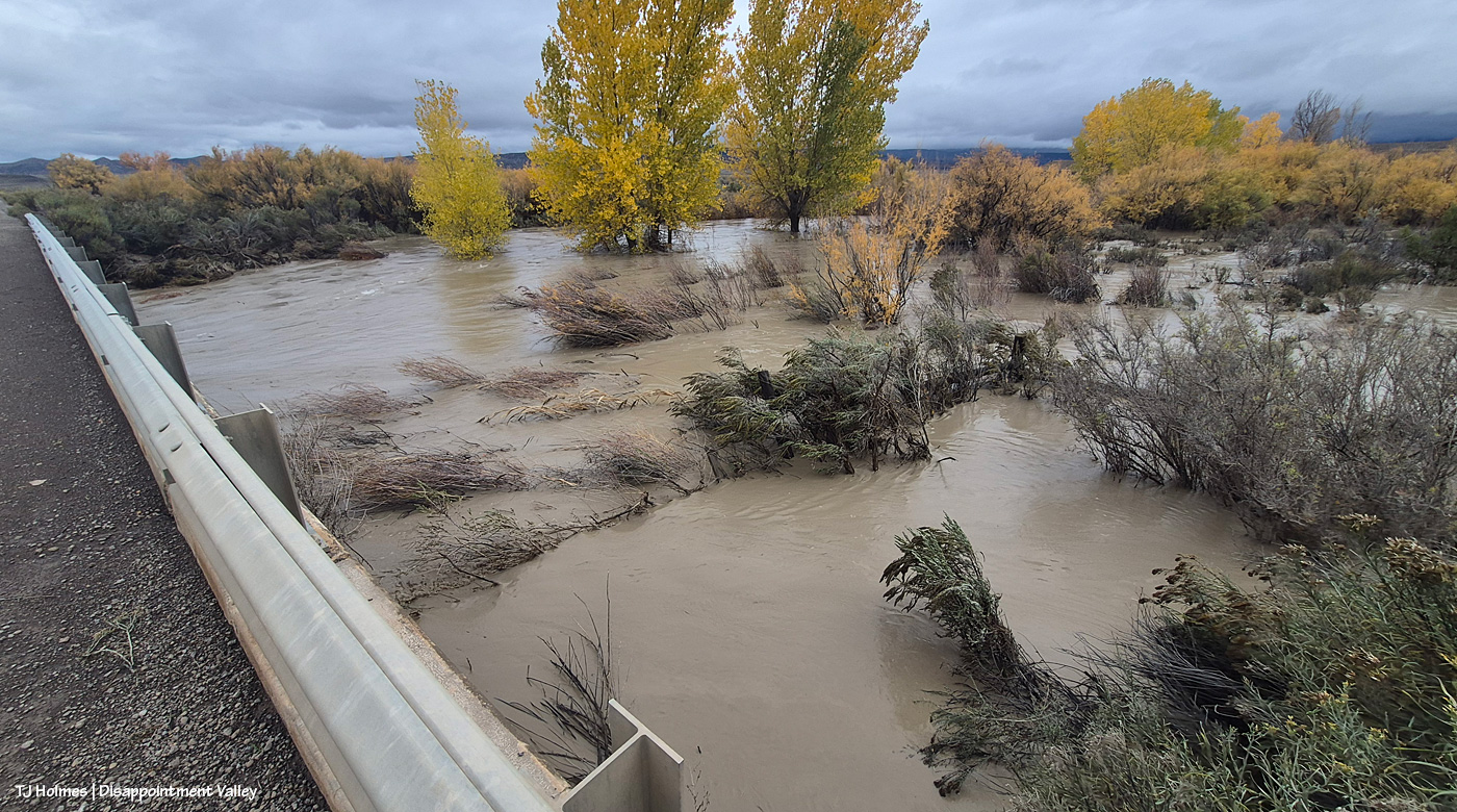
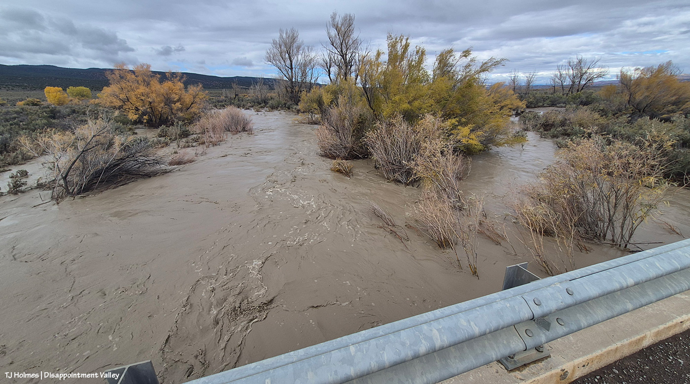
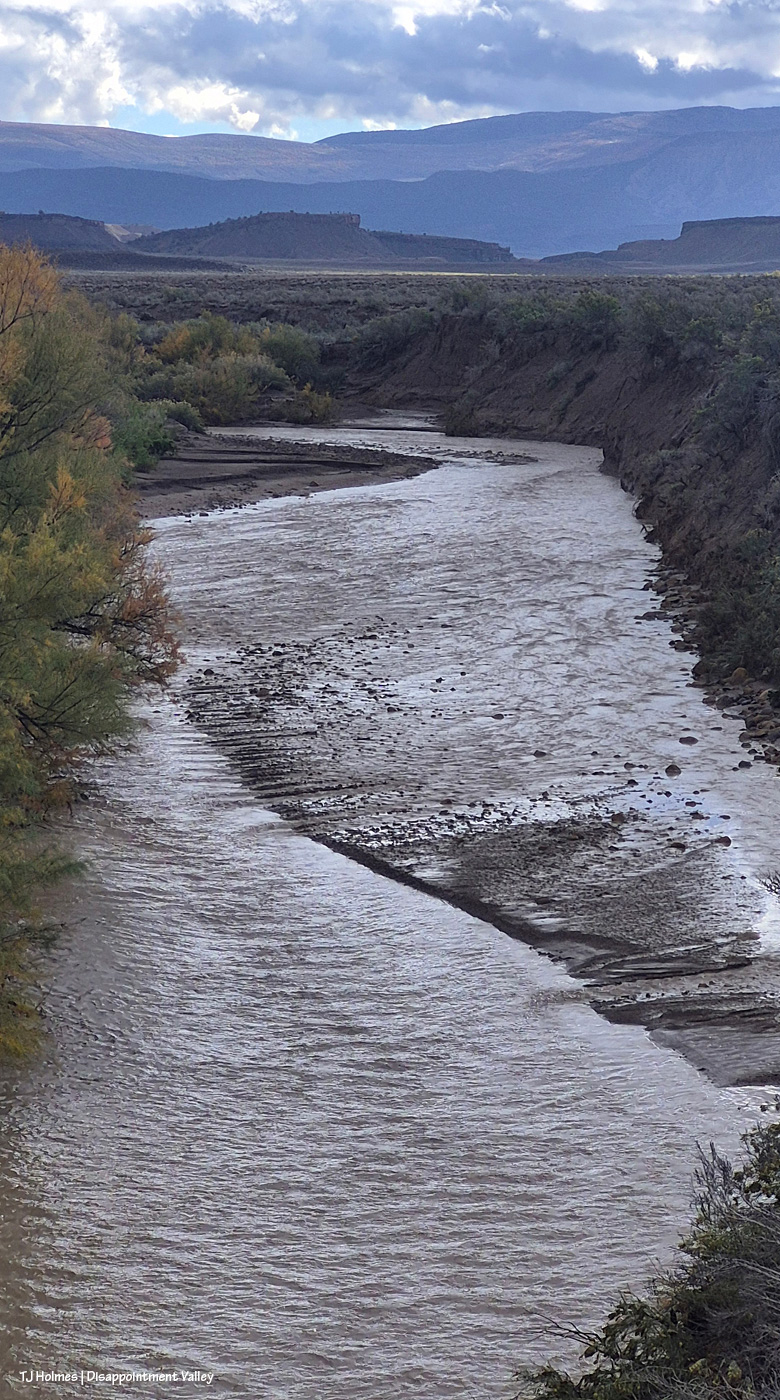
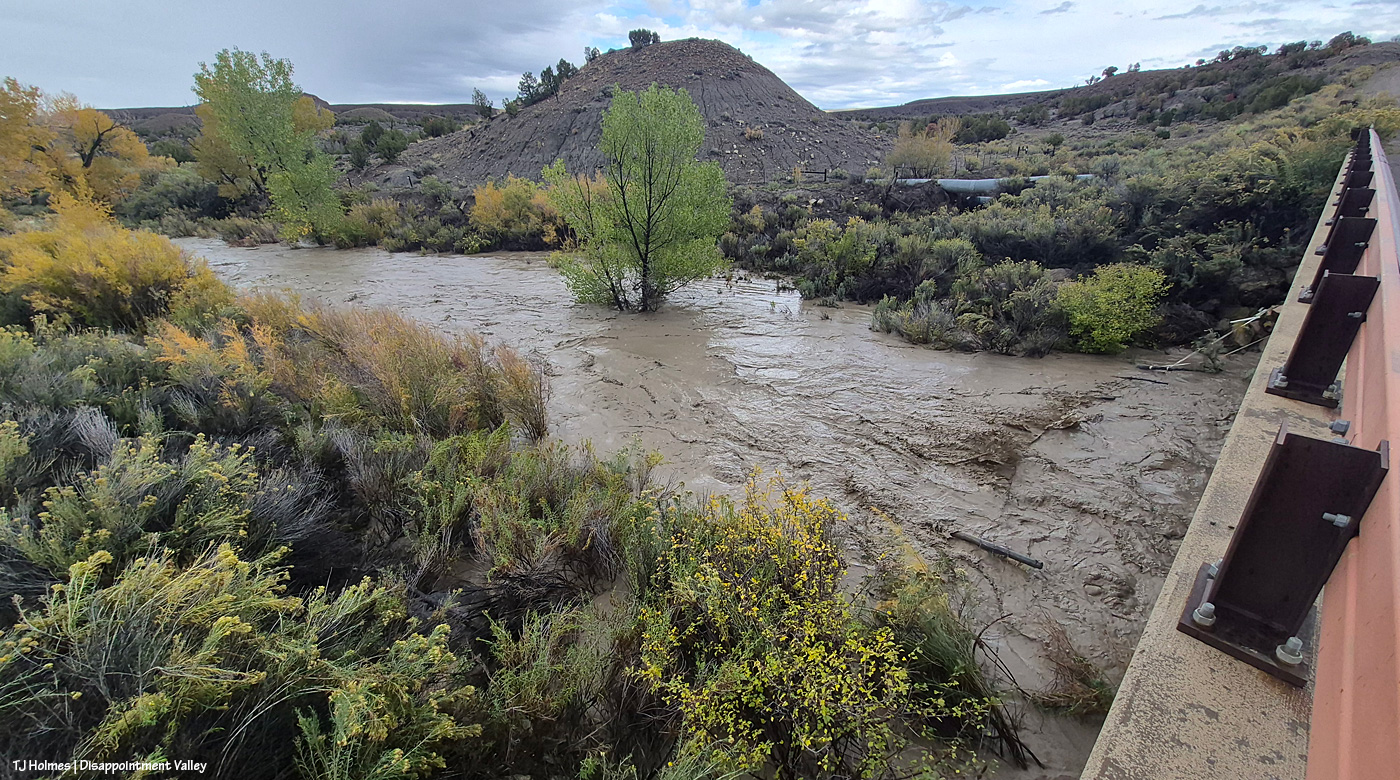
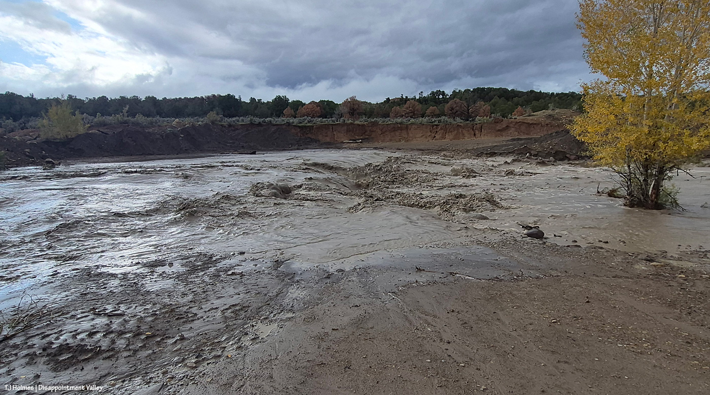
Now we jump to Nov. 2, the day after the all-day rain Nov. 1 and into the morning of Nov. 2. Apparently, with the creek “down” after Oct. 26, I didn’t think it warranted any more pix there. The creek’s flow HAD dropped significantly between that rain and this rain. The above is looking at the same side of the creek as two pix above: This is the upstream side, but I’m at the south end of the bridge where earlier, I was at the north side looking southish. But surely you see the MORE, the GREATER amount of water?? The lower right corner of the pic shows a fence corner; you can see about a foot of two of the corner H-brace posts. When Larry W had passed this spot on his way up-valley earlier that morning, before I talked to him, he said there was only about 6 inches of the posts showing, so the water level was already down a bit at this point.
The *usual* middle of the creek flows under the bridge section farthest from me; the water was not super far below the bottom of the bridge. A neighbor said that farther downstream, the water had actually flowed over another bridge.
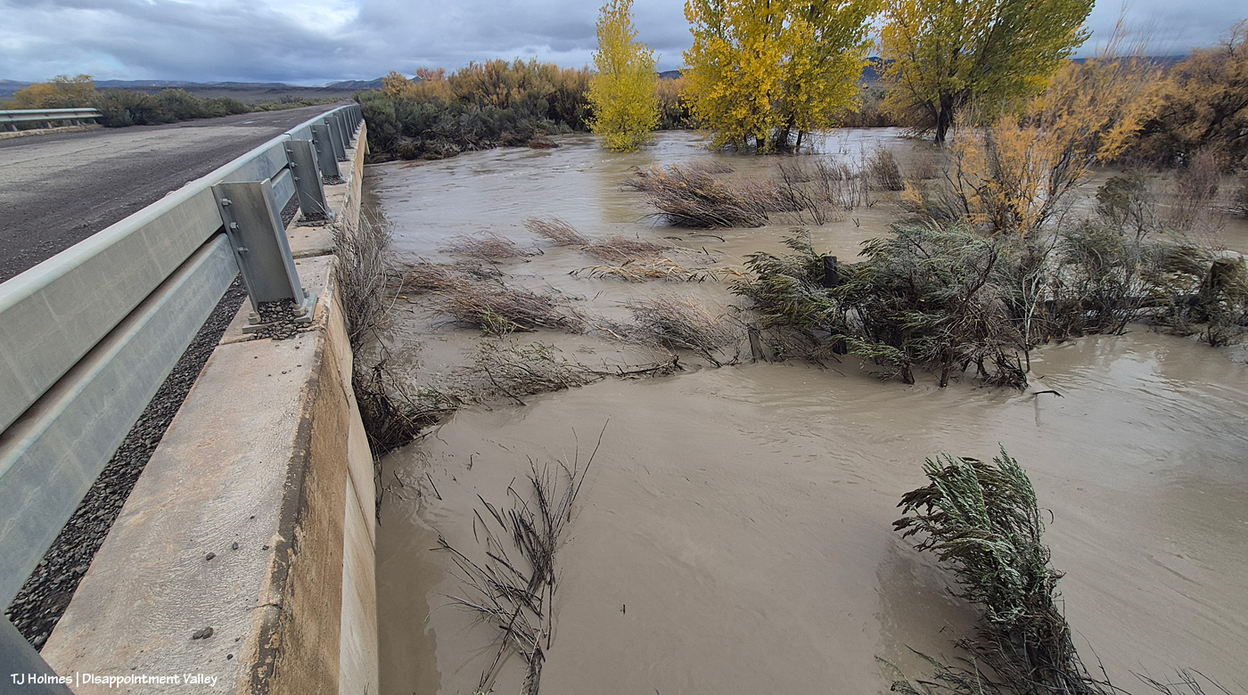
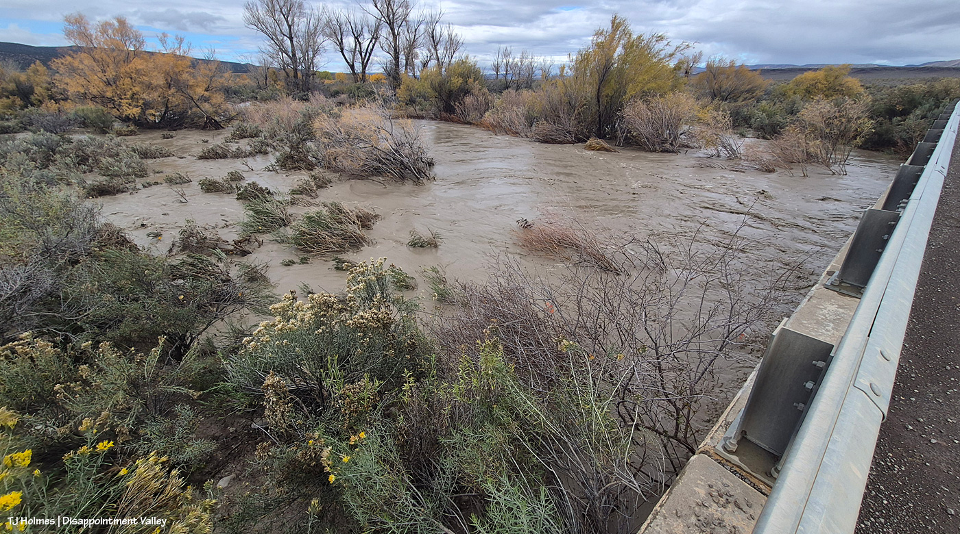
Just another wide view, still looking upstream. … Lake Disappointment looked like a gentle pond compared to this complete overflow of Disappointment Creek’s banks here.
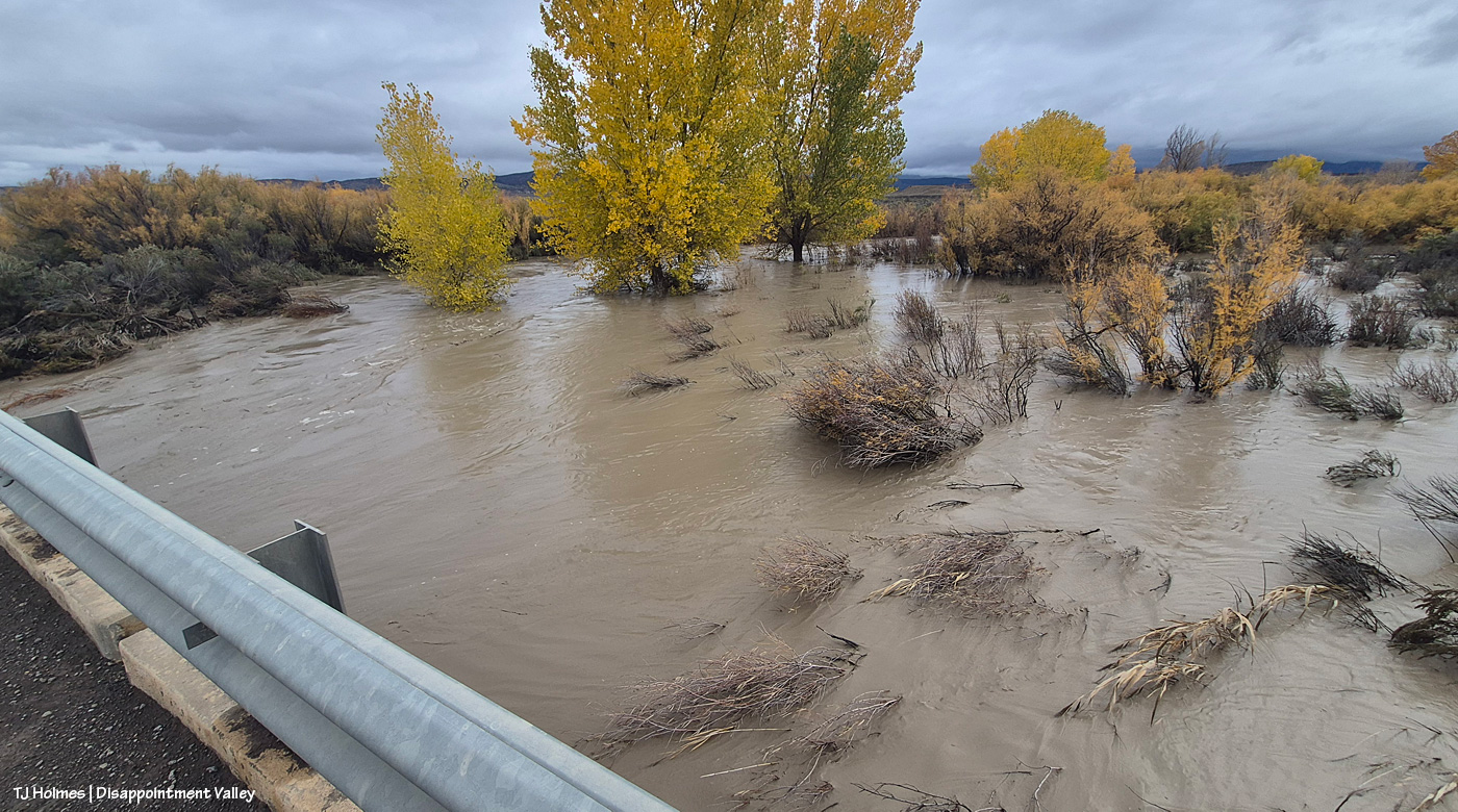
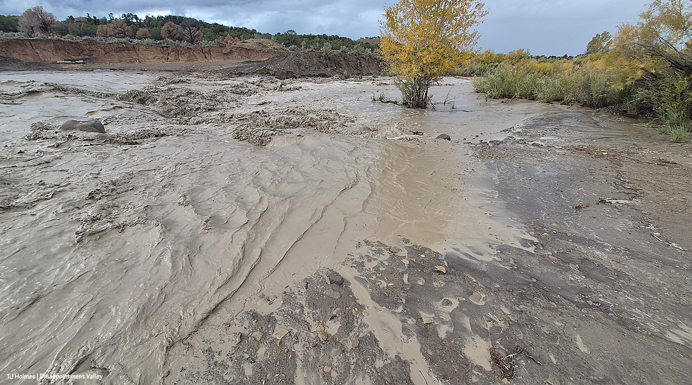
And another view; the fence corner at lower right might be a bit more visible in this image. This area is NOT usually under water … like, AT ALL.
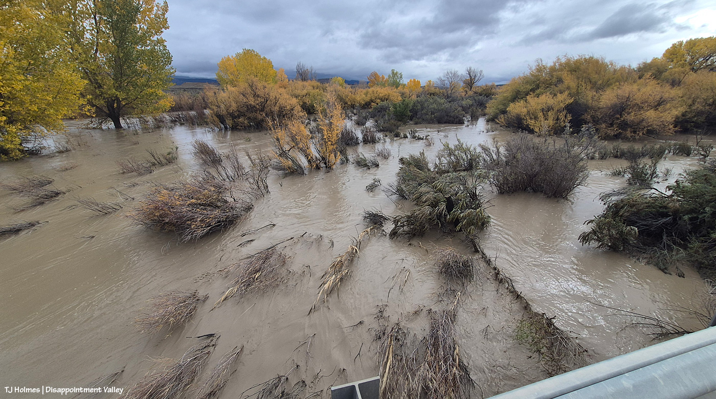
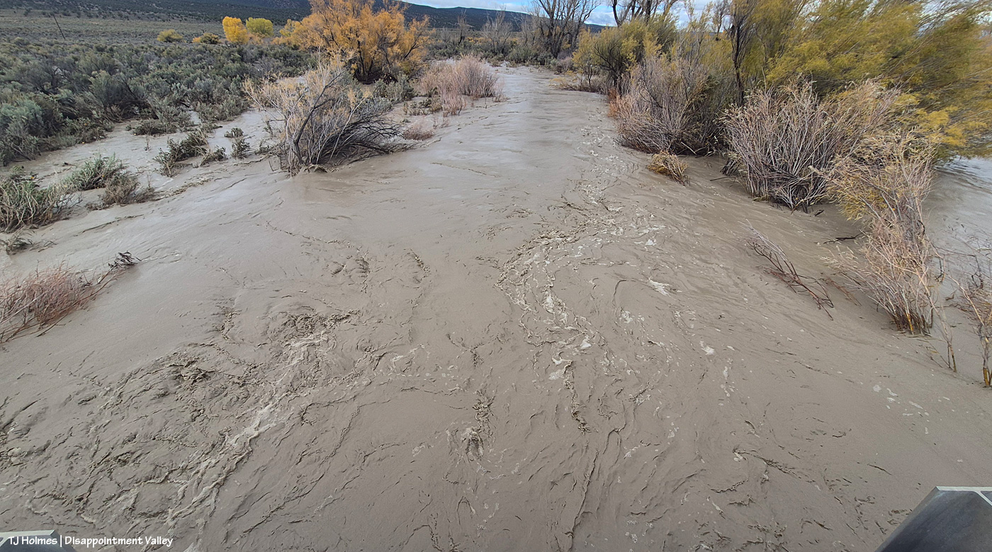
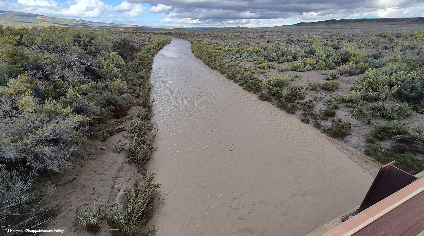
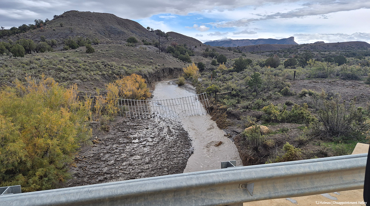
And now on the west side of the bridge, looking west/downstream.
I will admit that standing there, I kinda lost track of where the actual creek bed was.
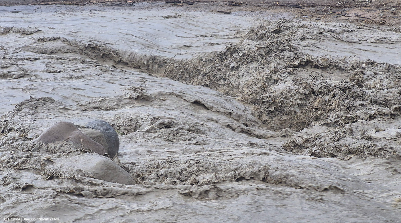
The sheer volume of water was … jaw-dropping and gobsmacking. And while the first pix were after two days of rain (and the level was down by the time I got there to see it), these pix, from Nov. 2, were after about 24 hours of rain. Crazy, crazy.
Now let’s head north/down-valley to the Spring Creek bridge:
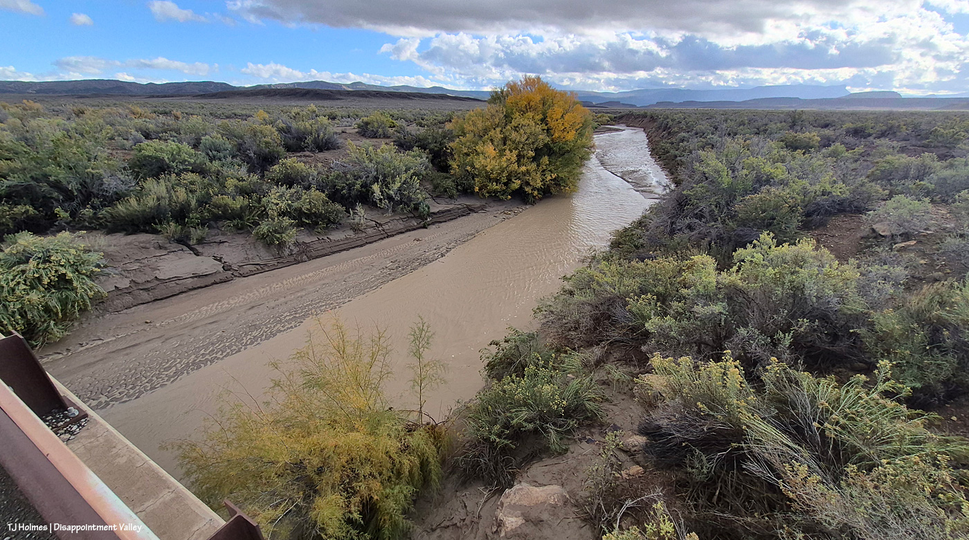
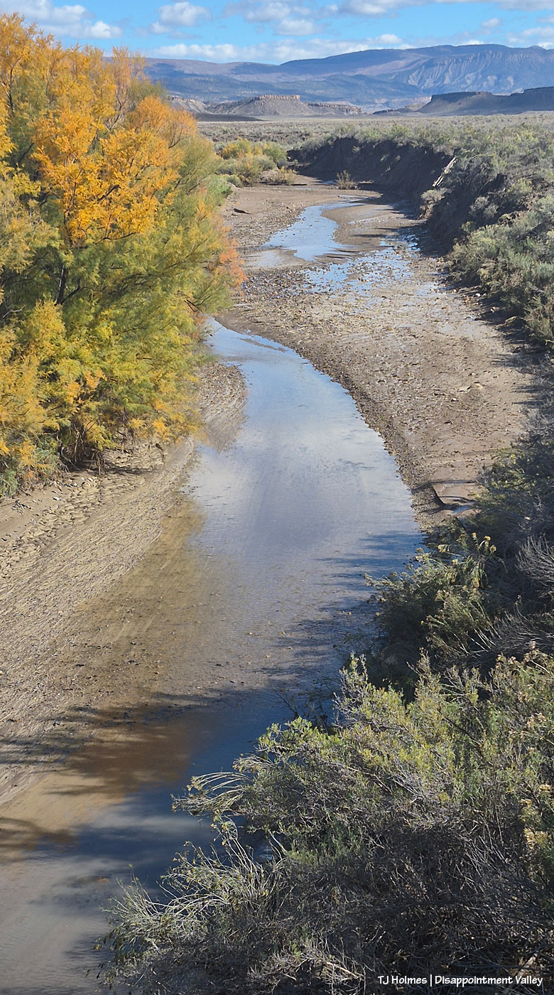
And back to Oct. 23: This is Spring Creek, flowing toward us out of Spring Creek Basin; Filly Peak and Temple Butte are at far right … and you can see the rimrocks that form the basin’s western boundary. Look along the far bank of the creek. See how far the water level had come down from high flow? By step-measurement (on the bridge), I figured it was about 15 feet from the edge of the current water flow to the high-water mark.
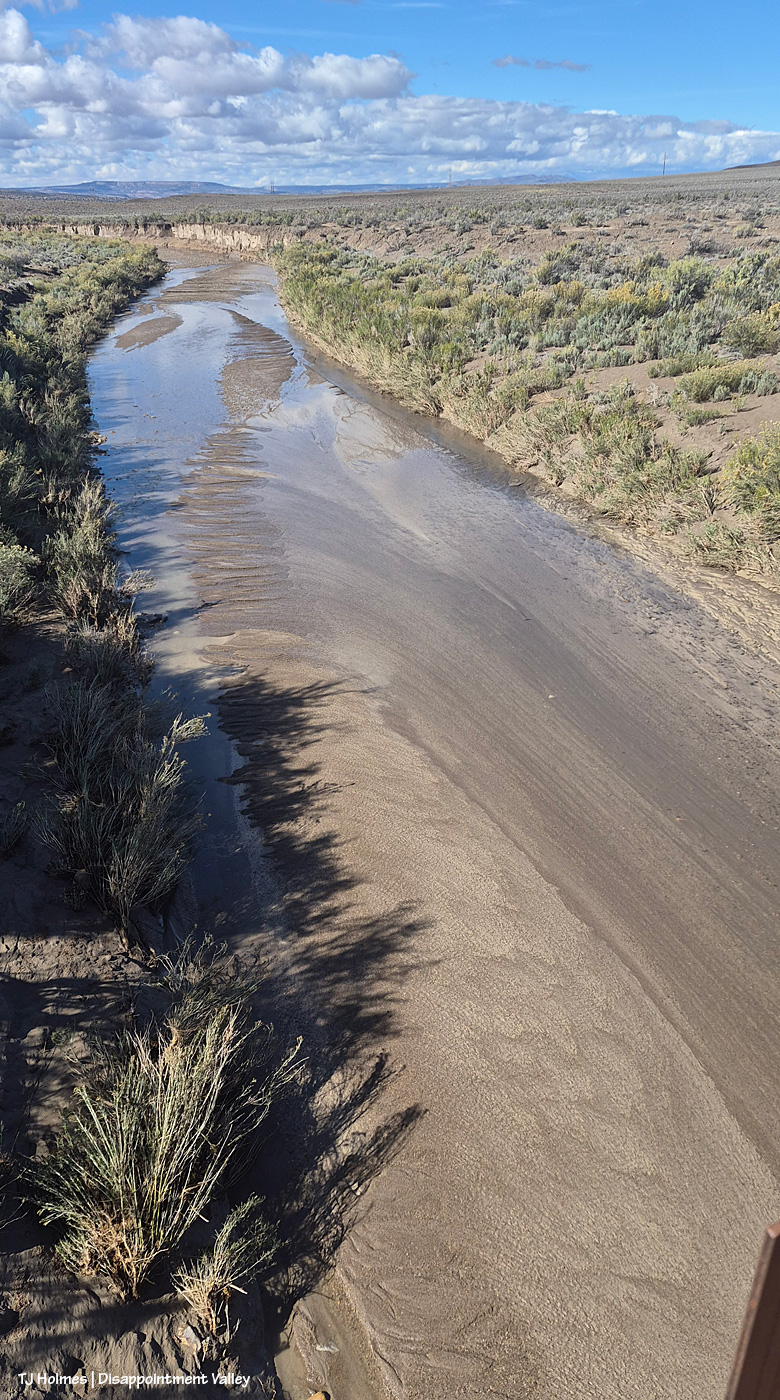
Looking way back east upstream to Spring Creek canyon where all the water collected in all the arroyos in Spring Creek Basin LEAVES Spring Creek Basin. The dark ridge is the basin’s northeastish boundary; the ridge that meets the sky is outside/beyond the basin. You can also see the way the water carves the bed of the creek in this pic; that’s all waterflow, but the main channel is to the left, while a shallower layer of water comes straight toward us over a bit of a “beach.”
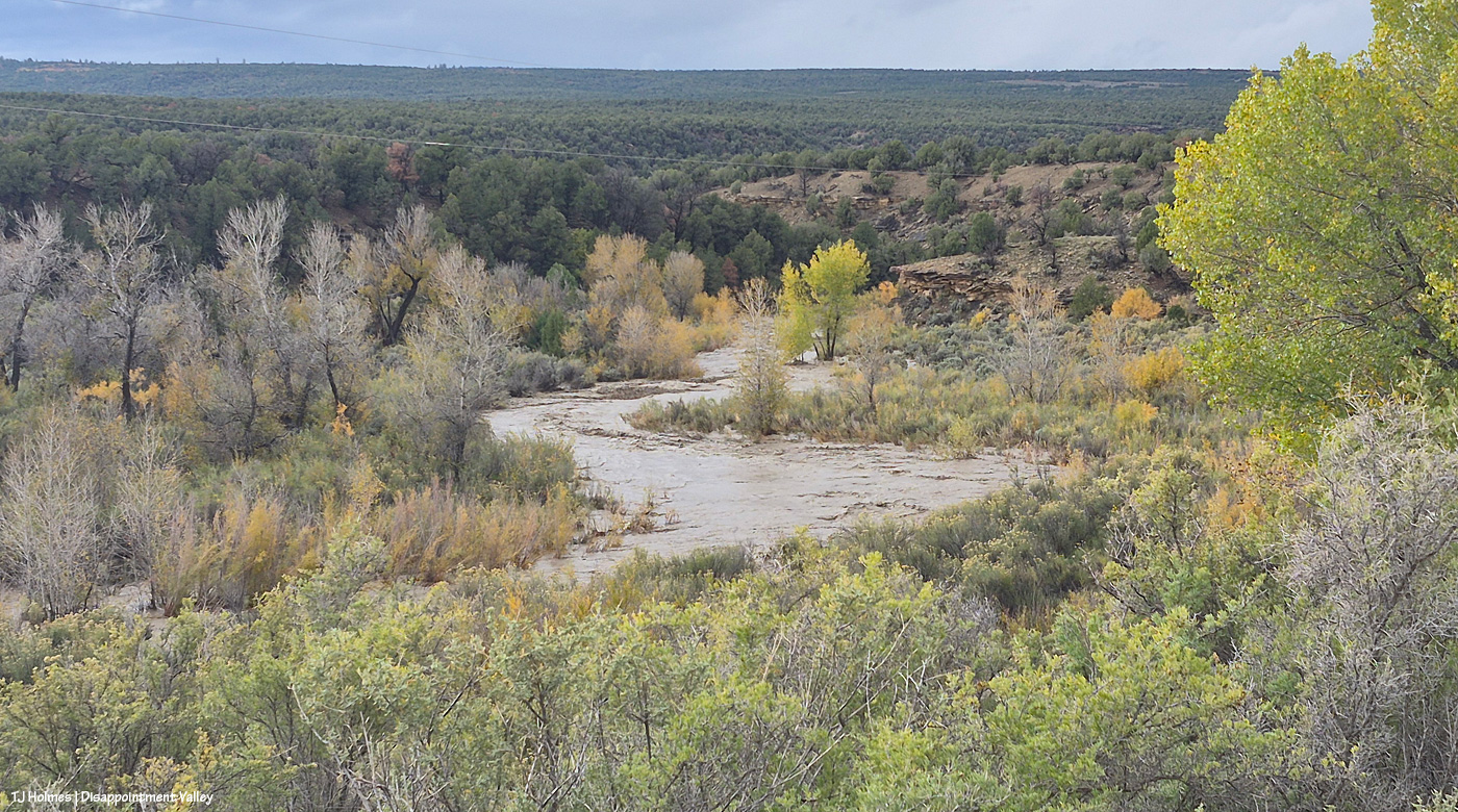
And rolling on away west toward its confluence with Disappointment Creek. The creek bed for Spring Creek here is much wider than that of Disappointment Creek … and I’m sure the water wasn’t nearly as deep because it’s so broad (also, the watershed is much more limited than what feeds Disappointment Creek).
The view of Spring Creek upstream on Oct. 26.
The downstream view.
Now heading back up-valley, still Oct. 26:
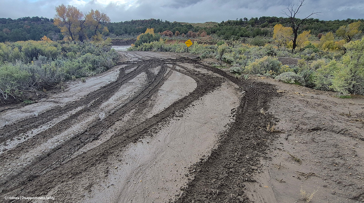
Looking east/southeast at Road K20E from Disappointment Road/19Q. … On the left side, closest to us, the owner of those ruts was a couple of inches from the ditch (which is at least a foot deep). Beyond that? Yeah, they went into the ditch. I’m not sure whether those tracks/ruts were going east or coming west, but good grief. … They get worse for the first mile or so. Oh yeah, and at least one vehicle (there had to be at least two) had chains on its tires. K20E is NOT an all-weather gravel road like Disappointment Road; it’s basically a dirt path through the greasewood. It. Is. A. MESS. When. Wet. … Somebody had some “fun”; I’ll be wobbling through those ruts for the foreseeable future.
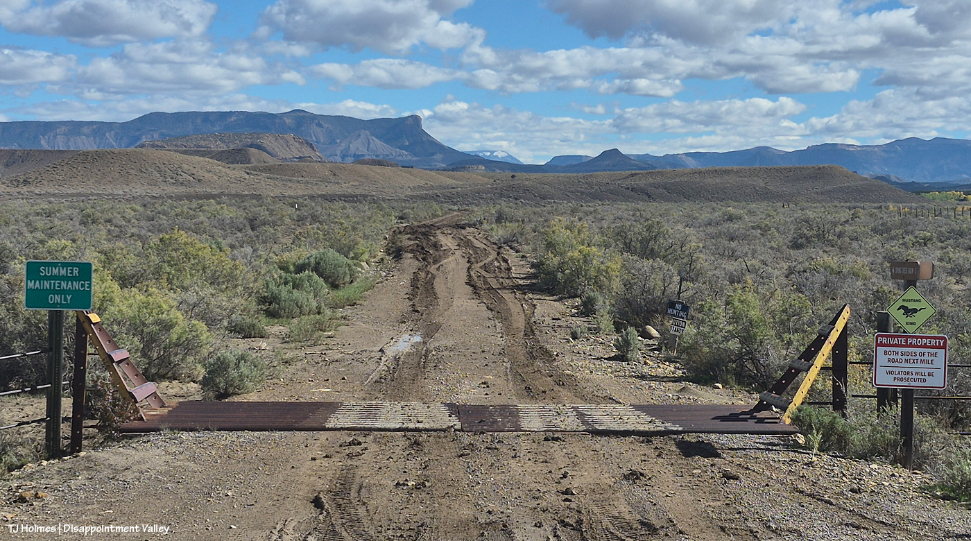
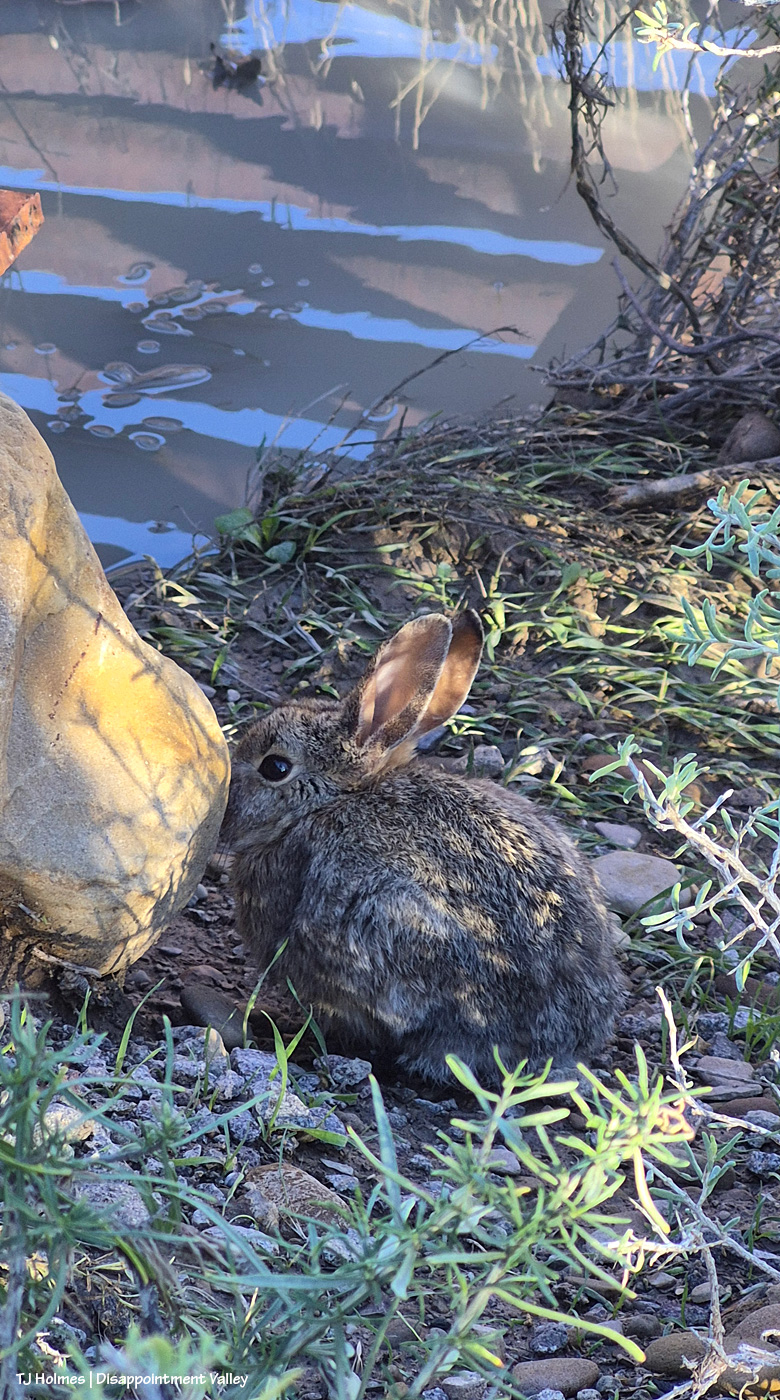
Cutie. I found this little critter under the right side of the above cattle guard. That’s water beyond it, reflecting the cattle-guard pipes and the sky above.
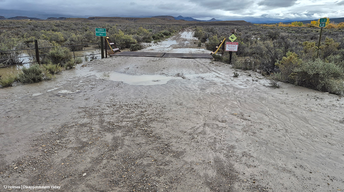
Now fast-forward to Nov. 2, after the one-day rain:
Yikes. Lemme tell you, when the mud in Disappointment Valley looks like that, you do NOT want to test it. That’s what I think of as “pillowy” mud. I’m sure there’s some technical term, but it is soft, it is deep, and it will suck your tires into a quagmire you will be hard pressed to get out of (without help; with help, heaven help your helper). See the line of cottonwoods at left? The down-valley Disappointment Creek bridge – aka the Daddy Williams bridge – is about 100 yards to my right. As in a couple of pix above, I am standing on Disappointment Road/19Q looking east/southeast at the start (or end) of Road K20E toward Spring Creek Basin; you can see McKenna Peak and Brumley Point in the far distance, but Temple Butte has its head in the clouds (heh).
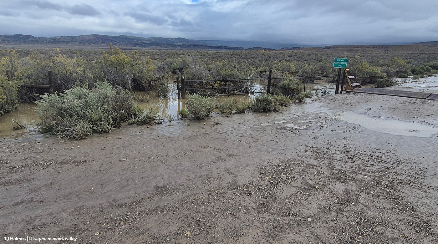
I think water overflowed Road K20E, and if you look at the standing water at left, I think that’s where a good bit of it came from, though there was also water to the right, between the road and Disappointment Creek. That standing water extends far north on the east side of Disappointment Road – still, now, Nov. 6.
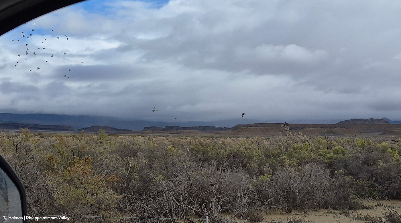
See the water at lower left? That’s part of the water from the pic above. Spring Creek Basin beyond the rimrocks in the background. As I was driving north, I scared up three mallard ducks, if you can believe it! I don’t know what kind of birds were in the flock, but you can see the ducks in the center.
Lake Disappointment may have to shift locations; I still haven’t seen ducks on that “body” of water. 🙂
And on that uplifting note, I’m going to end the post here, the flooding having been pretty well documented at this part of the valley now, as well as farther up-valley.
But … in honor of only my second visit to the interior of Spring Creek Basin in … ugh, I don’t wanna think about it, but WEEKS! … If you have read this far, thank you, and here are a few more, from last evening:
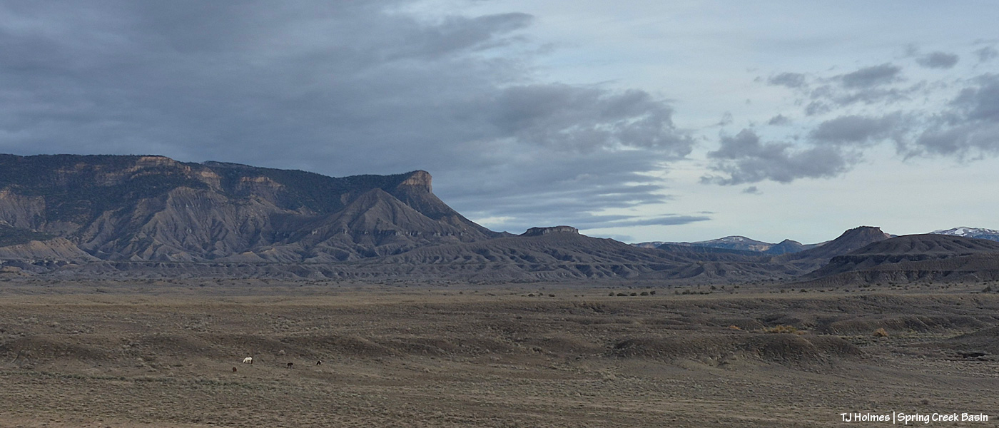
Ponies. 🙂 You’ll think I’m crazy (I am), but I have *missed* them terribly. The landscape doesn’t look particularly green in this direction, but I’ll tell you, in some other directions, the green is nearly electric. Note the snow, still up high-ish, at far right.
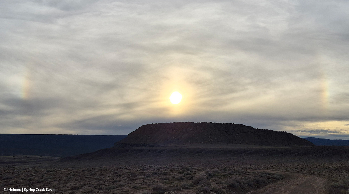
Even Mother Nature celebrated my return to Spring Creek Basin! OK, OK, maybe not, but I was sure happy to see her celebrating another spin of the planet as another day headed toward another night. 🙂
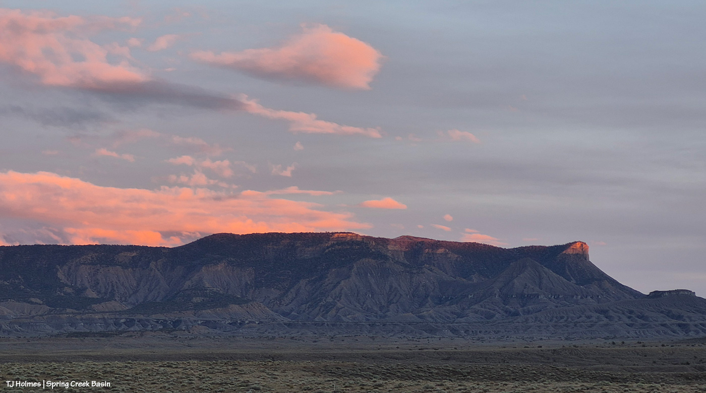
Laaaaaaaaaast light on Temple Butte.
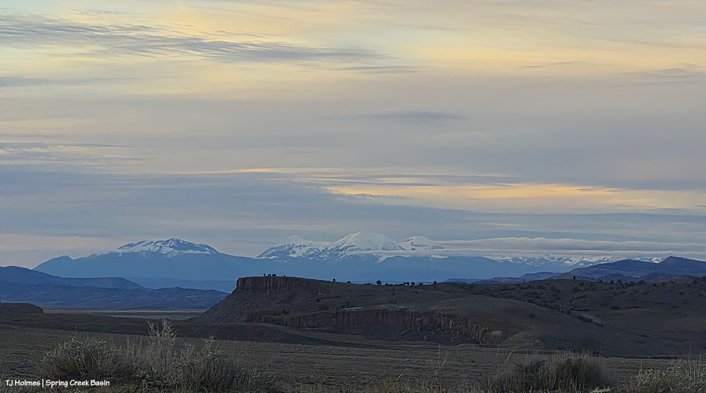
Snow once again on Utah’s La Sal Mountains, far beyond Spring Creek Basin and Spring Creek canyon. … And now you know where Spring Creek runs and what it looks like from the outside looking … toward Spring Creek Basin. 🙂
Thanks for coming along. I’m glad to share the journey(s) with ya’ll.
The ground was still damp. Clear, fresh water was still trickling through the little arroyo, and the horses definitely drank from it. How nice for them to drink as they graze instead of heading a long way specifically to drink and move on!
And it rained again. It started before 5 a.m. Sunday and rained steadily all … day … long! I didn’t slog through the mud, but I’m guessing that all the arroyos and all the creeks are running with water – high and broad and rolling again!
**Update: It’s 6 p.m. Sunday, and I typed the above earlier in the afternoon. I don’t have to guess about the creeks and arroyos; they are RAGING and completely flooding. And it’s supposed to rain all night and into mid-morning Monday.
Why did the mustang cross the road? To head down to a pond full of water, of course! Alegre is in the same band with Piedra, and it was that pond they were grazing their way toward at sunset the evening after the day of wild sky color.
I’ve pushed her back for a week; she’s been patiently awaiting her turn on the blog since Tuesday. 🙂
These pix are from more than a week ago now: before the rain. I haven’t been able to get to the interior of the basin since the day of these pix, which was the Tuesday before the rain started Wednesday. But given the wealth of weather phenomena happening, that’s been semi-, sorta-kinda OK (no, it actually hasn’t; I’m going through withdrawal, not seeing my ponies!).
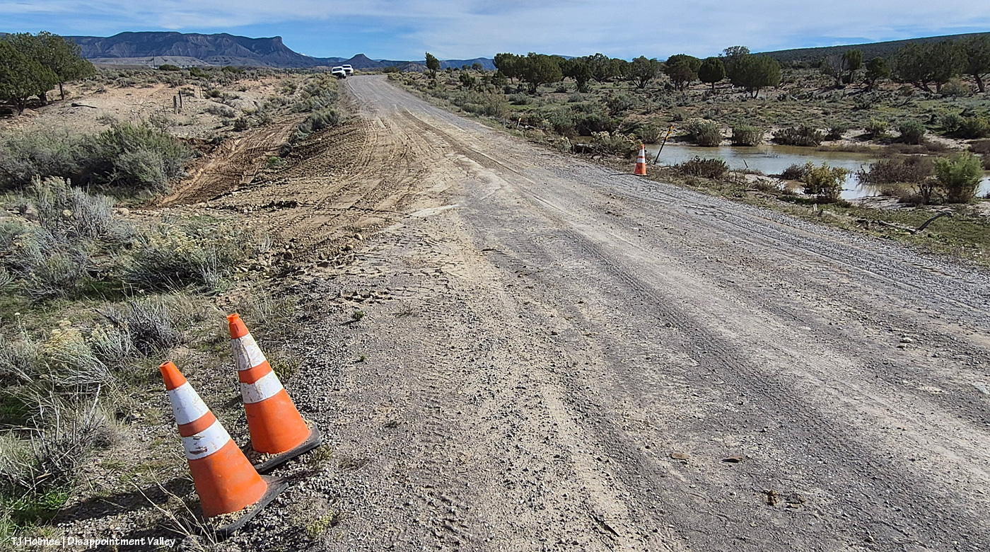
So for this post a little, semi-break from the weather (not totally) … with a note: San Miguel County guys have started working to repair that erosion spot on Disappointment Road, and I hope to get some pix to highlight their good work. I don’t know the extent of damage in other parts of San Miguel County, but I’m guessing that it’s fairly significant, given the damage to roads/highways in other parts of the region, so I’m glad to have their work on our fairly minor erosion spot. And at the end of this post, a few links to recent overall articles about the flooding in southwestern Colorado and some amazing stories of rescues. They’re well worth reading (and checking out the embedded videos) to get an idea how historic the recent rains/flooding were (just in Colorado, to say nothing of New Mexico, Utah and Arizona).
It almost takes me back to my journalism days. 🙂 Onward!
Piedra in the light (again, this was the evening before the rain started last week; there were hardly any clouds in the sky that night).
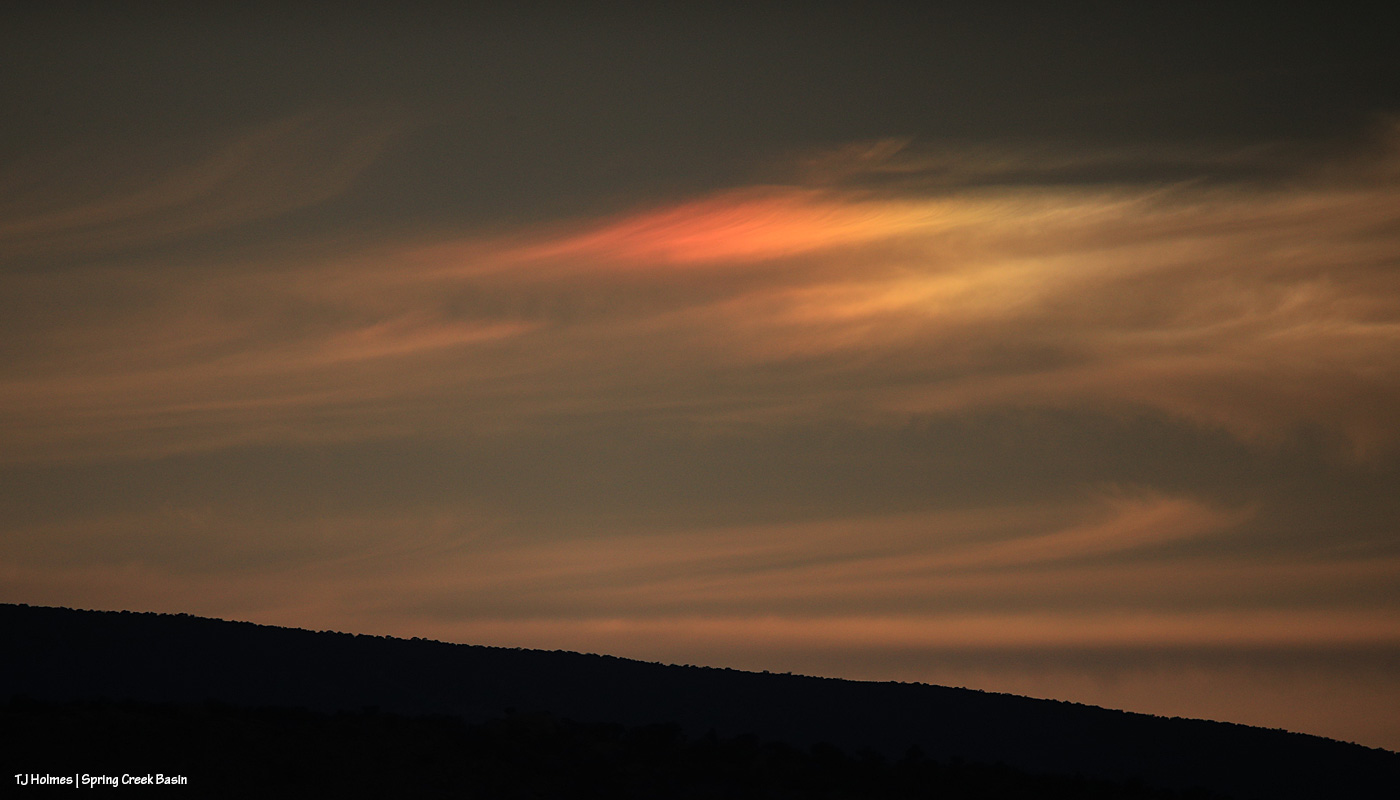
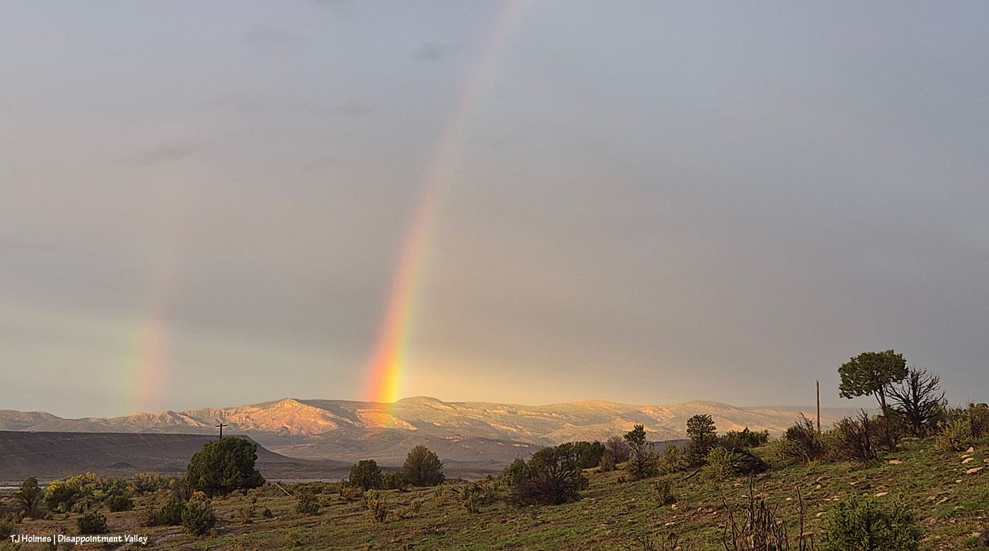
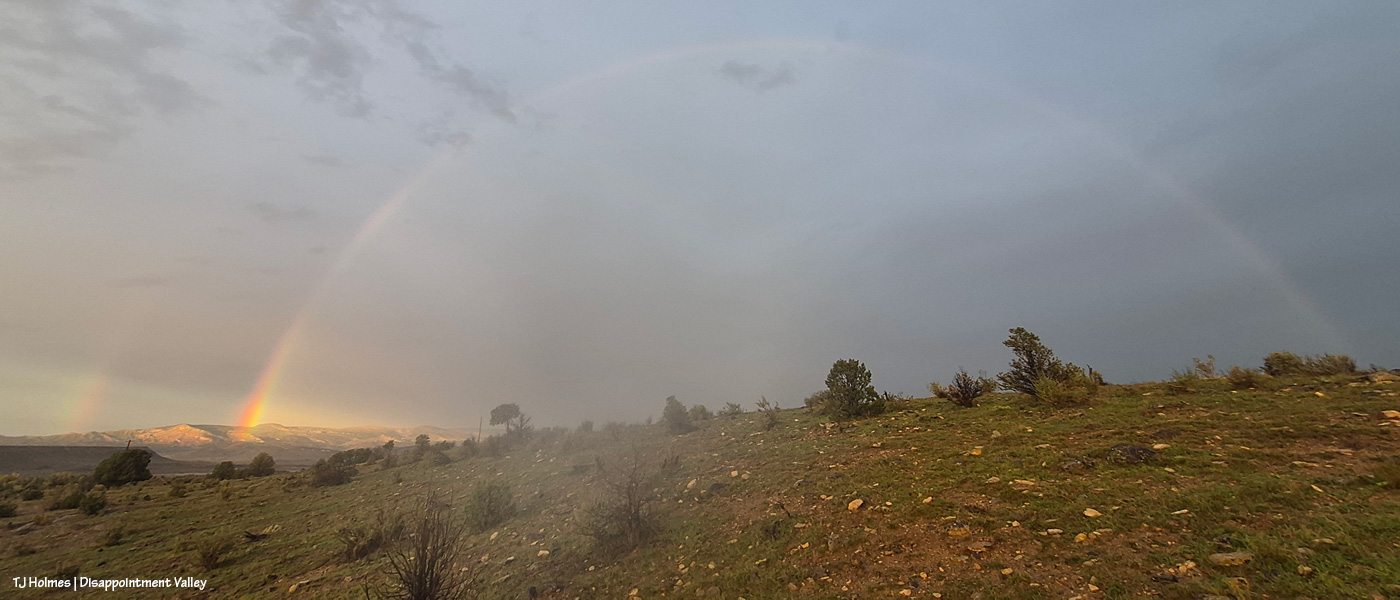
One glorious refraction of light low on the southwestern horizon. Looking back maybe it was a sign of things to come, eh?
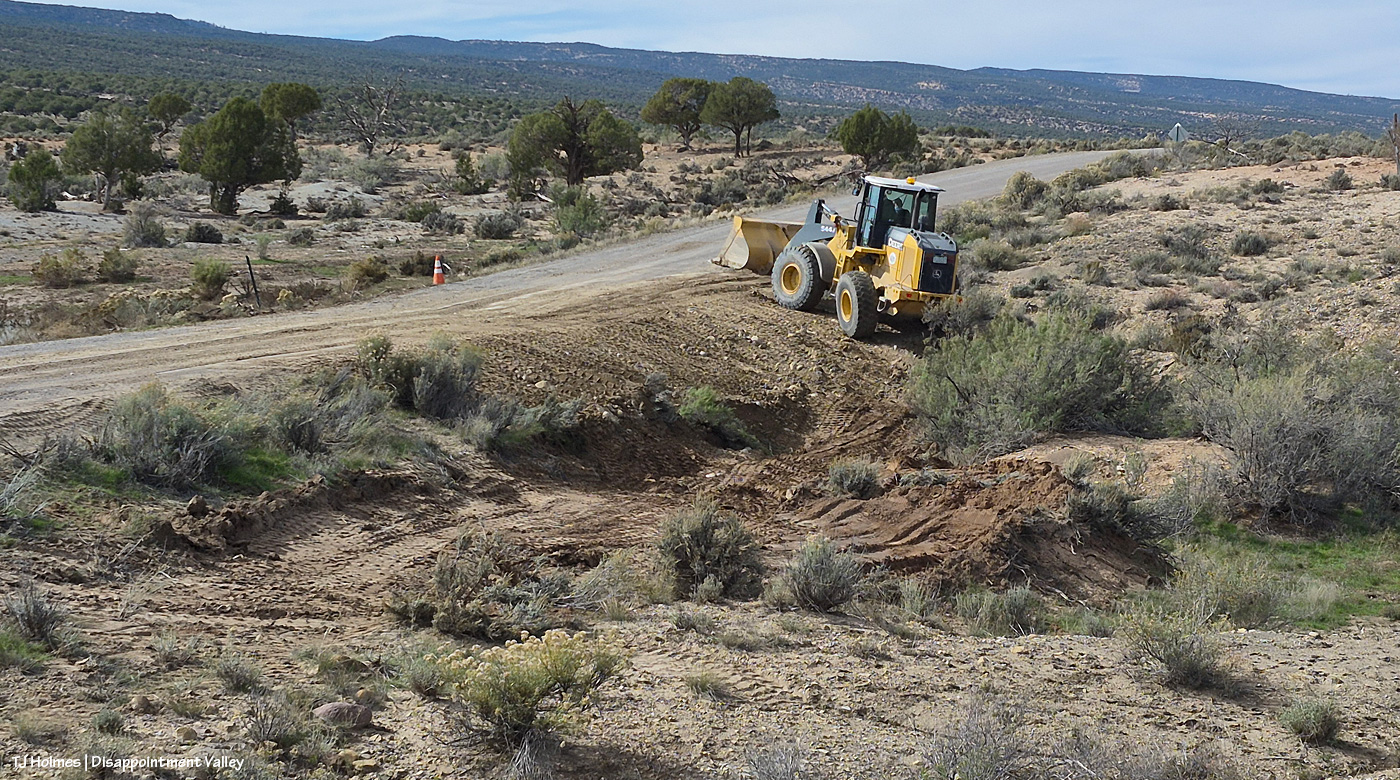
And I caught Denny doing a little work (!) on the erosion spot on Disappointment Road yesterday afternoon. He said they’d had about 10 dumptruck loads of “pit run,” which is dirt with rocks of various sizes in it to bind it together. Then they were about to go to “3-inch pit run” for the top of the road to build it up a bit. Lake Disappointment is receding – and has receded quite a bit. Sadly, I never did see any ducks on the water. 🙂
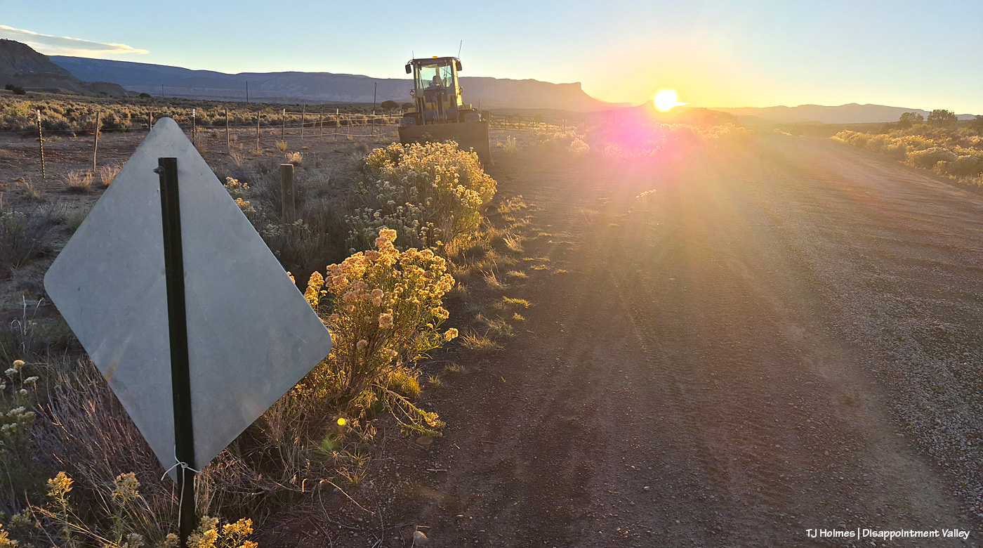
THIS big machine showed up yesterday about sunrise!
And by early afternoon, this is what the road looked like!
And back to full width! Looking eastish/up-valley. Several more dump trucks went up with loads after the above pix; that was for the smaller rock-and-dirt combo. And on the right/south side, Lake Disappointment has shrunk to Disappointment Pond. 🙂
Given all those guys have going on lately with the recent rainfall, HUGE thanks to them for taking care of our little part of the world!
First, happy, happy birthday to my mom, Nancy! This is a bit of a different post, but it’s been a different few days. 🙂 Happy birthday, Mama! I love you!
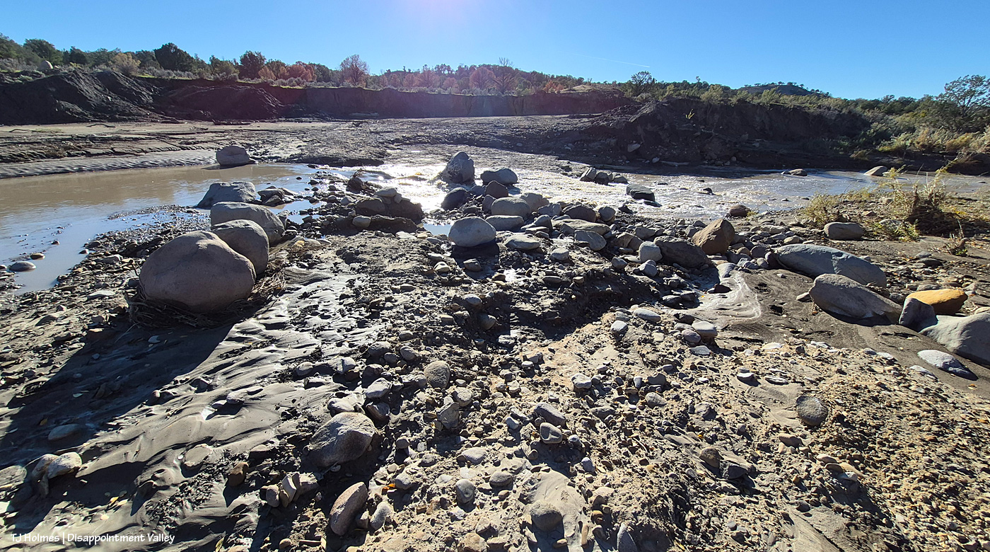
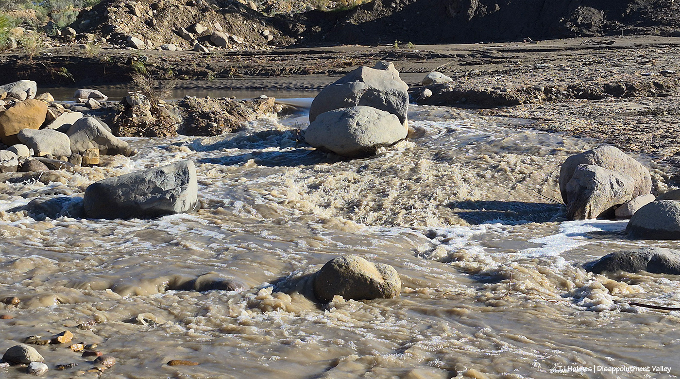
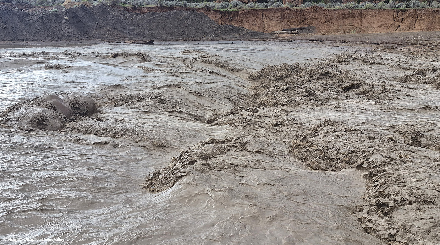
By now, you ought to recognize this spot. … What? You don’t? Visualize it – all those rocks – COVERED in deep, brown, rolling, cresting water. Now do you recognize it? 🙂 The water in Disappointment Creek is still running, but it’s MUCH lower now.
The road (Black Snag Road) is, um, gone. It’s also closed by Dolores County (as is Ryman Creek Road farther up-valley). That may not stop hunters from trying to get across.
It’s still fun to see that rushing water and realize that if I stood a few days ago where I was able to stand to take this pic, I’d have been chest or deeper (probably deeper) in absolutely raging water.
Next, I’m going to move on to a much tinier stream …
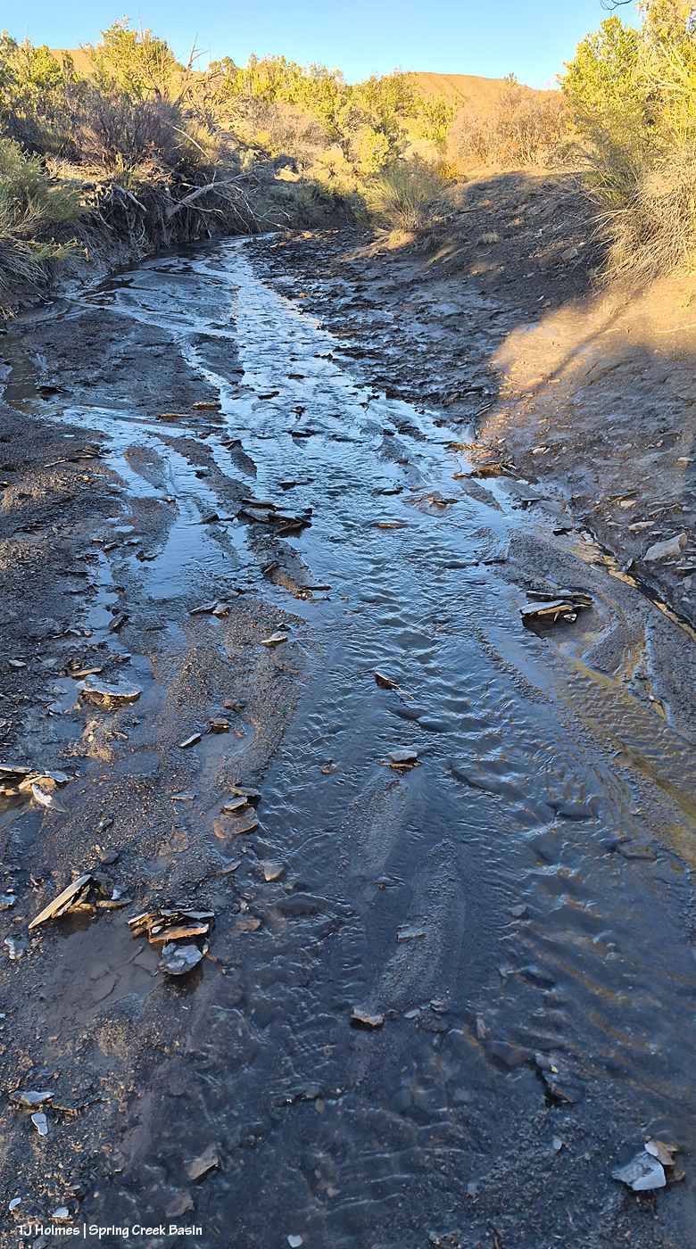
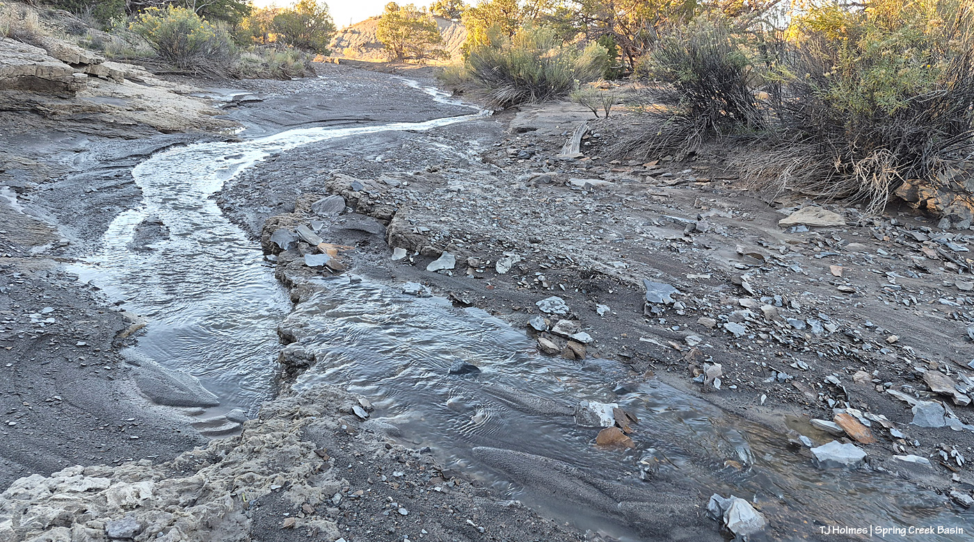
Now we’re in an arroyo in southern Spring Creek Basin, and that is water … STILL trickling!
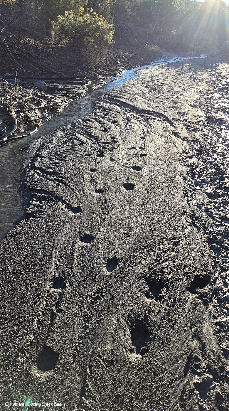
A couple of different critters, at different times, walked along and likely drank from the trickle. I think those on the left were from a coyote, and they didn’t have any detail anymore. At right, a deer, I think (and I saw two groups of does and their fawns of the year on my way down the valley road).
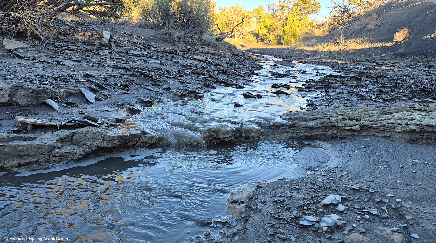
A little step of bedrock created a tiny little waterfall in the trickle.
My favorite pic of the series. I mean … WATER! Fresh, live water! 🙂 Singing its own sweet little song in the back of beyond.
Well, I’d planned to have another sunset-glowing mustang for today’s post, but that had to be postponed for the below post. I’ll try to update the amount of rain, but as of about 3:30 p.m. Thursday, we’d gotten at least 1.97 inches. For those of you in rain-rich areas, that’s, like, potentially MONTHS worth of rain here in Disappointment Valley, Colorado.
There’s not a lot of sky color in the below pix, but there’s some gold in the way of cottonwoods more yellow than they were a few days ago.
Try to imagine the NOISE of an immense amount of water rockin’ and rollin’ and bustin’ its banks, and enjoy! (Oh, and while I was starting to process pix, um, we got some color …! 🙂 *wait till the end*!)
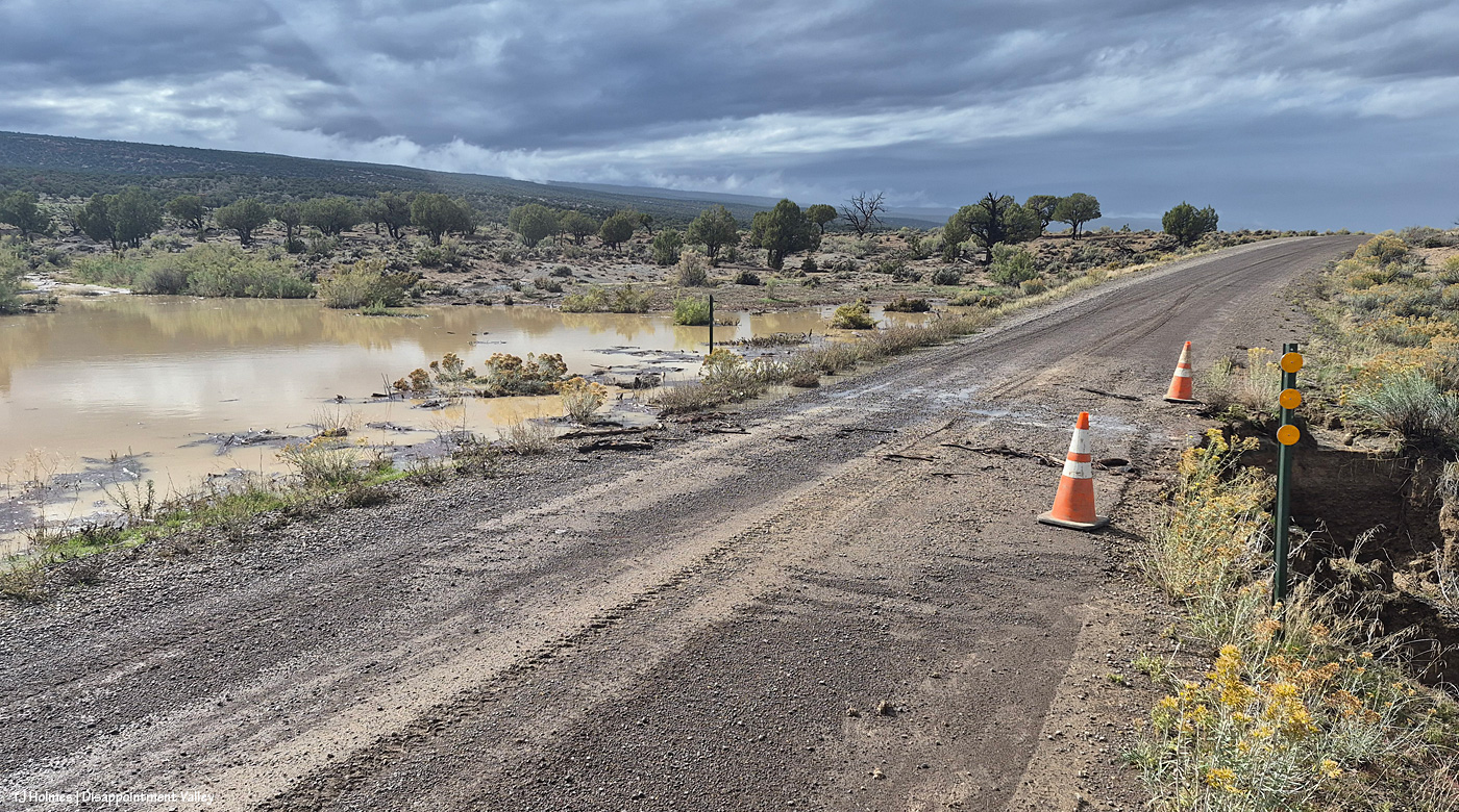
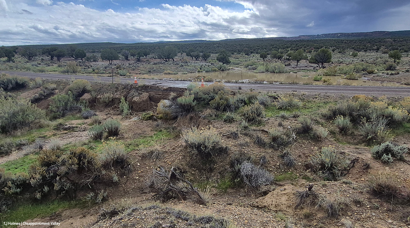
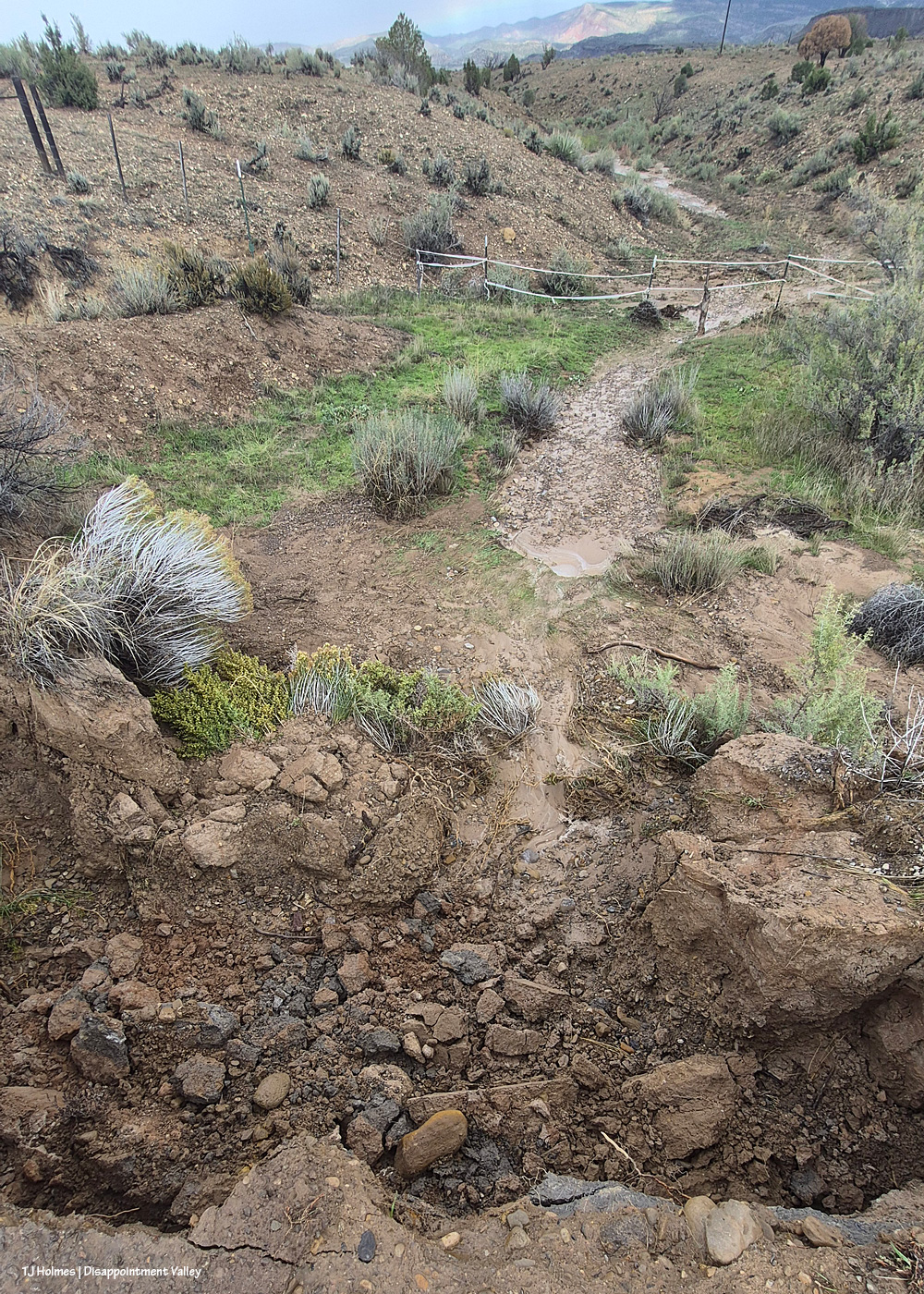
Well, THIS is interesting. I came from the west, which is the direction I’m looking in this pic; I drove past the bad place and walked back. So on the left/south is a pond that’s not usually there (!). And on the right/north, the continuation of the drainage – much deeper/broader/bigger – down to Disappointment Creek. If you’re paying attention from last time, that might confuse you, when the creek was south of the road. At this part of the valley, it has crossed under the road a bit up-valley of this location, and now it’s running west, north of Disappointment Road, which, here, runs northwest-to-southeast (or vice versa). The road eventually runs straight north to the highway, and Disappointment Creek runs under it again. If that’s completely confusing, well … here’s the map of Spring Creek Basin, which shows the area around it, but I’m not sure it’ll be more helpful?
Now I’m at the fenceline, trying to get a bit higher for a better overall view, looking south.
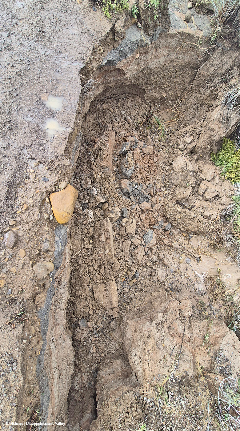
The road is wet and actively crumbling (this was probably around 2:30 p.m.). See the orange rock at left? It’s just on the edge of the road.
See the rock at bottom center? That’s the same rock, about 10 minutes later, down in the bottom of the hole after it slipped off the road from the water-caused crumbling.
If you’re driving in/out/up/down Disappointment Valley, take more than the usual care! For locals, this is maybe almost to the 9 mile marker.
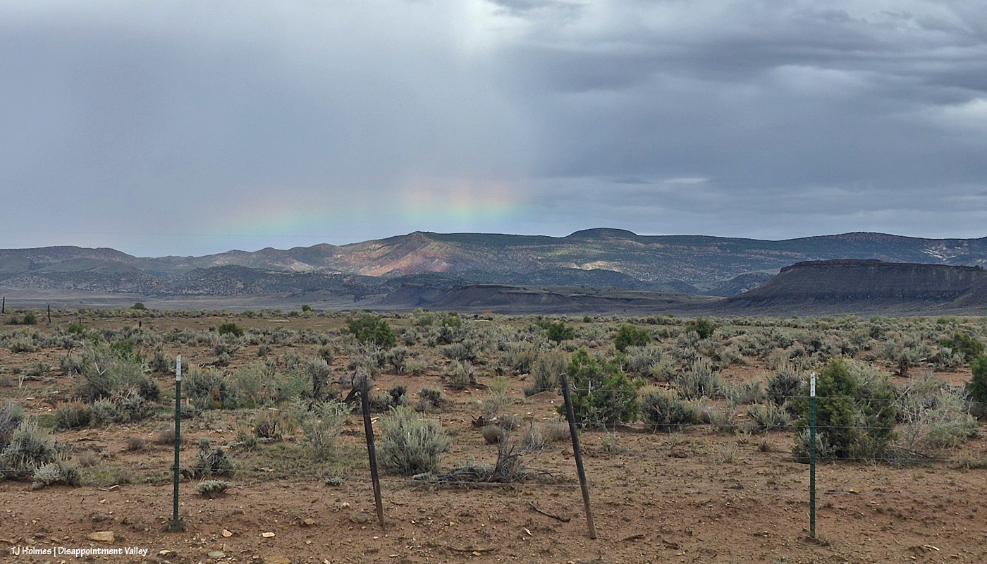
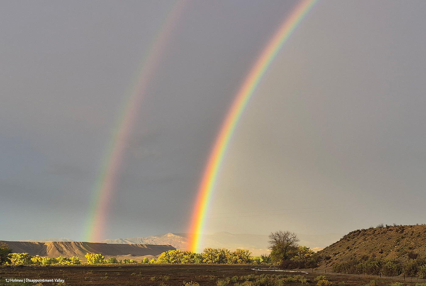
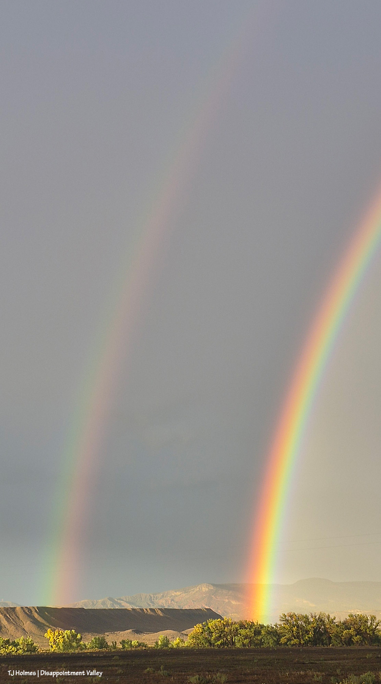
Just as I was driving on up-valley, then, that little bright bit of loveliness caught my eye. Have you ever seen such a low bow?
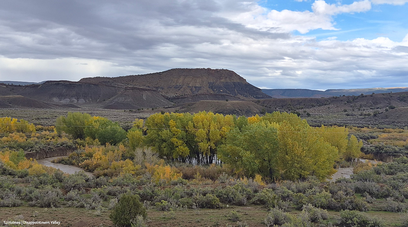
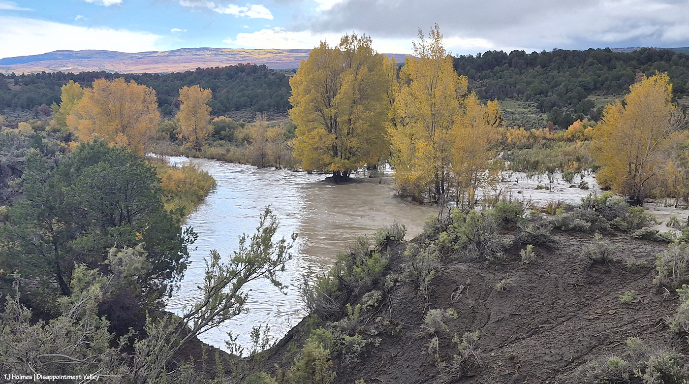
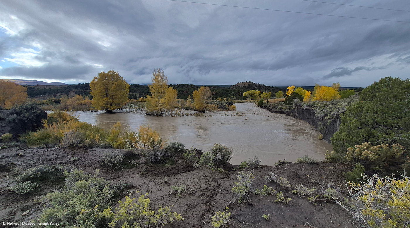
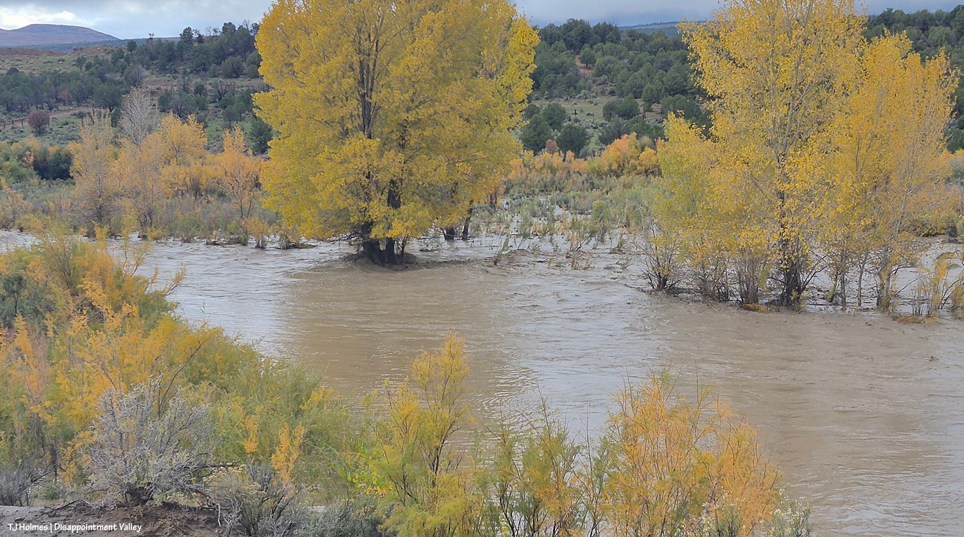
Usually, Disappointment Creek makes a big half-circle around that stand of cottonwoods. Usually, the cottonwoods are not standing in water (floodwater or otherwise). Usually, there’s no water in the creek bed. Usually, even if there IS water, you can barely see it from the road. THAT is a lotta water, my friends. It’s flowing downstream from right (southeast) to left (northwest).
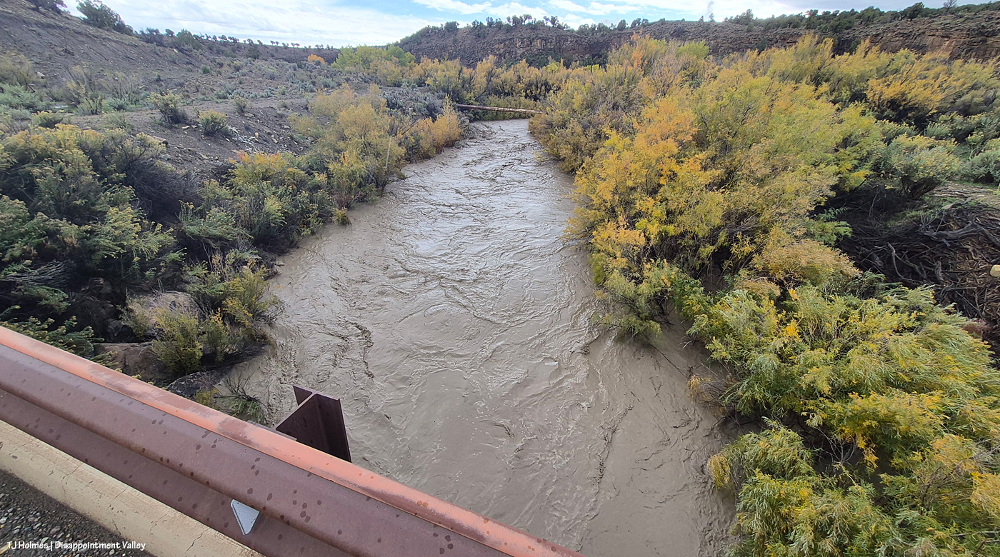
Holy moly high water. This is looking upstream – the water is flowing toward me as I stand on the road/bridge looking south. The water is WAY above and wider than its usual banks. That’s also BLM land.
And on the north side of the bridge, the water is, well, rollin’ like a rollickin’ river. I’m actually looking eastish/northeastish, and the basin is the farthest land you can see on the other side of that weird knobby hill above/behind the green cottonwoods. Here, though, the creek is running into private property. That clump of green cottonwoods in the middle of the pic is NOT usually in the middle of the creek. It’s not usually in the creek bed at all. The half-moon thing at right, under the bridge, is the very sad “water-gap fence.” A friend and I fixed it a year or so ago, and it was in good shape then. … I think it’s gonna need some more work. 🙂
Continuing up-valley, beyond that fence is Spring Creek Basin, and the arroyo is what I call the county-line drainage. The road is going southeast here, so although the county line between Dolores County (south) and San Miguel County (north) is east-west, it doesn’t cross the road that neatly. In any case, water from this arroyo flows straight into Disappointment Creek, which is behind me, south of Disappointment Road here. Disappointment Creek does NOT flow through Spring Creek Basin at all. And that’s what a fairly decent water gap is supposed to look like (minus the broken piece of PVC in the middle). The idea is that the poles flow with the force of water but discourage cows from getting through into the basin (or horses from getting out). I will tell you that it works much better on the horses than it does on cows.
Disappointment Creek just absolutely flooding, running downstream. This is on the south side of the road looking southish … maybe a bit southwestish.
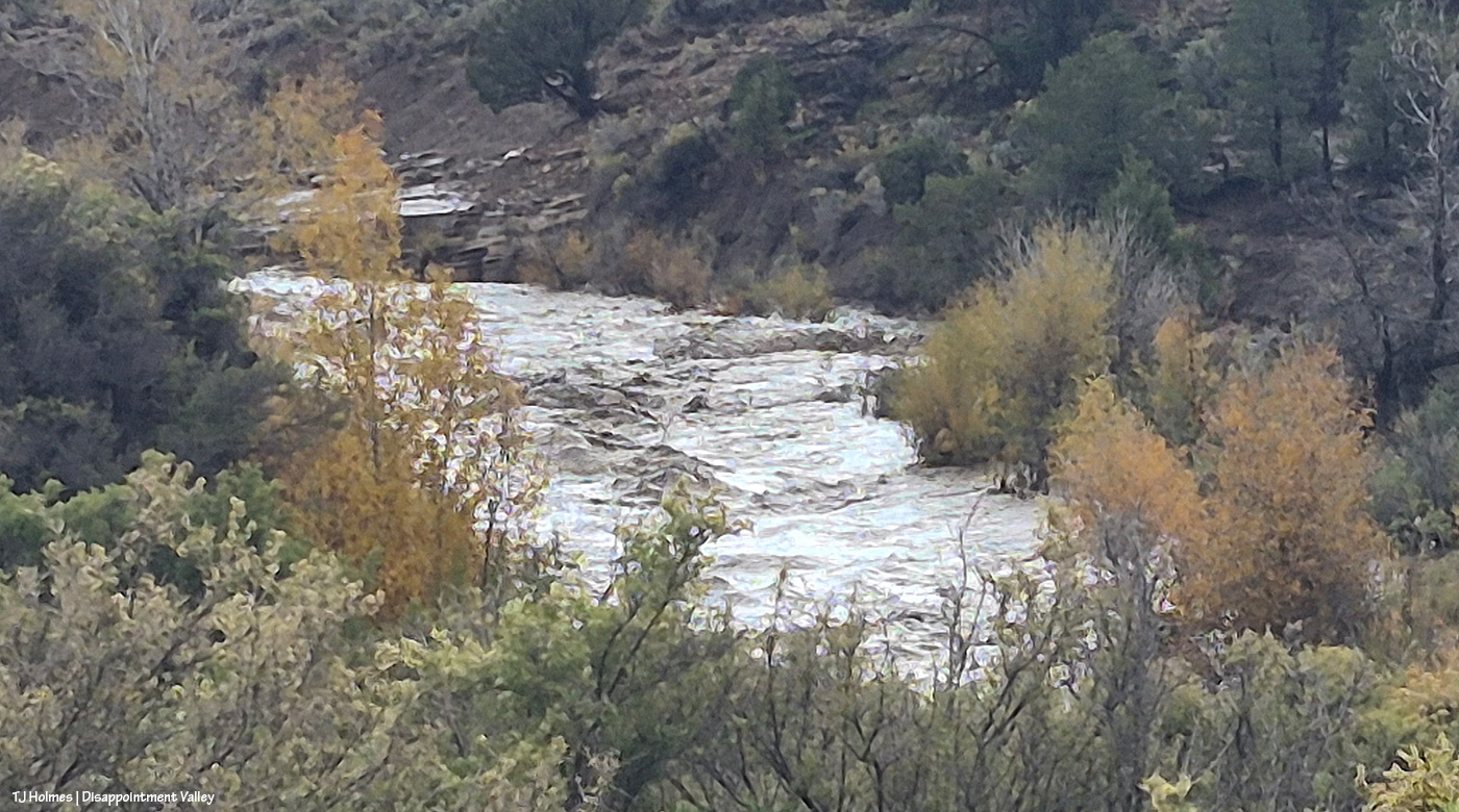
I’m in about the same place for this one, but now looking upstream to the left (water flowing toward me). Zoomed in, which is the reason for the painterly look. But just look at those waves! Big rocks under that water.
Do the trees look more gold? This was just three days after the pix from the big photo post. And look way out yonder to the Glade. 🙂 Gorgeous (that gold is aspen).
No, that’s not a pond. 🙂 A pic from just about this same spot was in that earlier post. Wow.
I hope those cottonwoods are taking up a lotta, lotta water through their big ol’ deep roots.
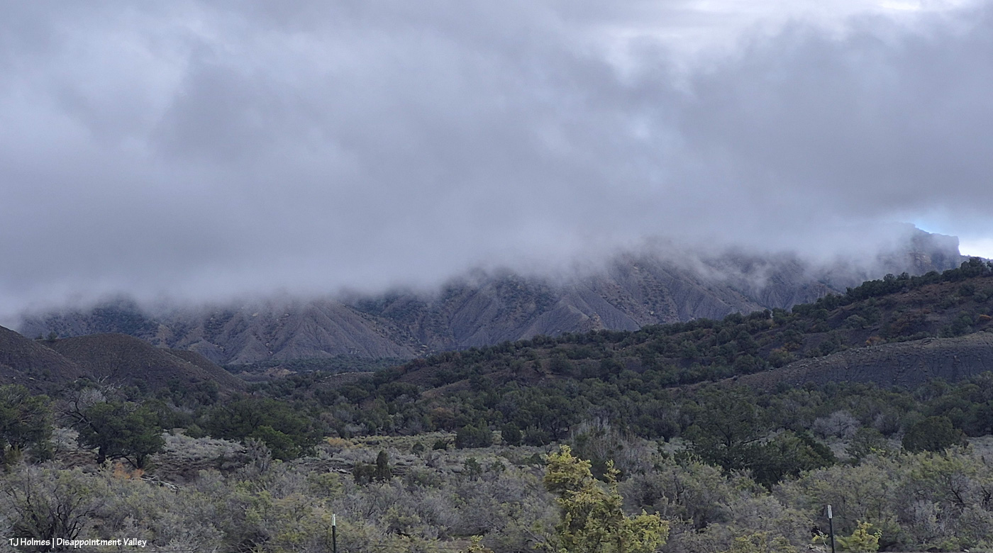
And just a little bit later, I was up at Black Snag Road again. Do you wonder about this pic? Well, um, Temple Butte is there … in that CLOUD. There’s a pic from this spot (basically) in the earlier post, too, with Temple Butte glowing golden in sunlight.
Oooopsie. Important note: THOSE ARE NOT MY TRACKS. I’m not that crazy. 🙂 Disappointment Road isn’t too far behind me; ahead of me … do you see the creek already?
Remember what this looked like before? It’s really hard to convey the scope of the water in a still image. Remember the pile of dark dirt? Yeah, that’s gone.
Remember the rocks? I’m sort of astonished that they’re still there. … But I think you can tell that the road is basically now gone. But look across the creek (I mean river) at the darkish dirt – see the erosion? That’s from THIS recent flooding. The road goes up between the red-dirt bank and that darker dirt.
Rock ‘n roll.
You can see the erosion damage at the far side of the creek (river) better here at upper right. That is not going to be pretty when the waters recede. Pretty awe-inspiring currently!
I’d left the truck at Disappointment Road. Again, I was NOT going to risk getting stuck in the mud, so I didn’t drive down there; I walked! Then headed back down-valley, where I already knew I’d be driving back into the next wave of rain.
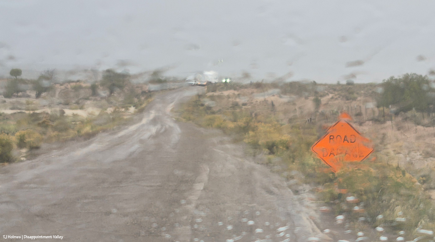
Painterly effect now caused by rain on the windshield between wipes. The road damage from the beginning of this post is between me and the oncoming vehicles. The folks in one truck came out Tuesday, when the road was dry. … Family members were hauling the camper and following, and they were consulting about the narrowed road. They didn’t have any trouble driving past the area, but I can’t help but wonder how they fared trying to park the camper farther up-valley.
And that was it. … Or was it.
You know that saying about the fat lady? I wouldn’t presume to know Mother Nature’s proportions, but Mama sings loudest and last. 🙂
Yes. She. DID!
Sing, Lady, sing.
I can’t make this up, and I wouldn’t know how to make it AI if you paid or threatened me.
Love. 🙂
I don’t know the final tally as of about 9:30 p.m., but as of about sunset (which was the above!), we were sitting at about 2.36 inches of rain since about 8 a.m. Wednesday, when it started. It is soggy. It is sloppy. It is saturated. Travel is NOT easy (or particularly recommended).
It. Is. SPECTACULAR. 🙂
** Update: The total amount of rain, in one particular location in Disappointment Valley, west of Spring Creek Basin, between 8 a.m. Wednesday and 8 a.m. Friday, was 2.74 inches. I think we didn’t get even that much moisture out of our snow last winter. It’s hard to convey, but that is an *enormous* amount of rain in two days from one system. Happy. 🙂
Piedra grazes above another pond in Spring Creek Basin that has been filled by the recent rains!
It rained nearly all of yesterday, and we are slogging (thankfully!) through mud again. Maybe next year, we’ll get this bounty throughout the year. 🙂 We can hope.