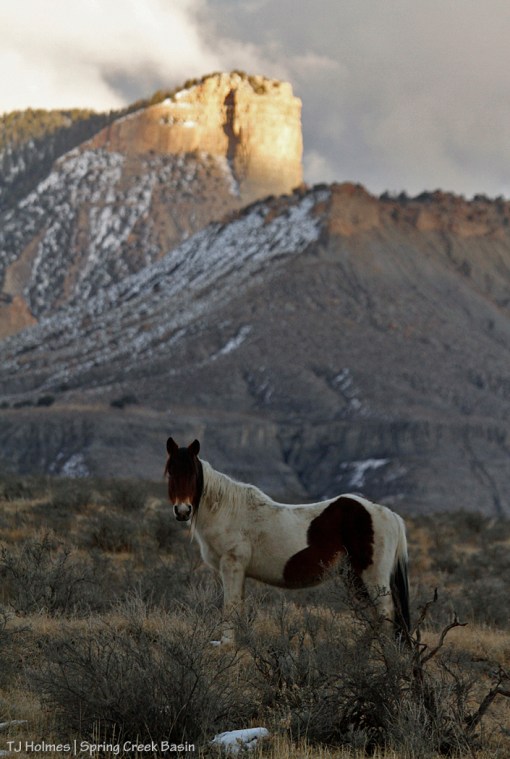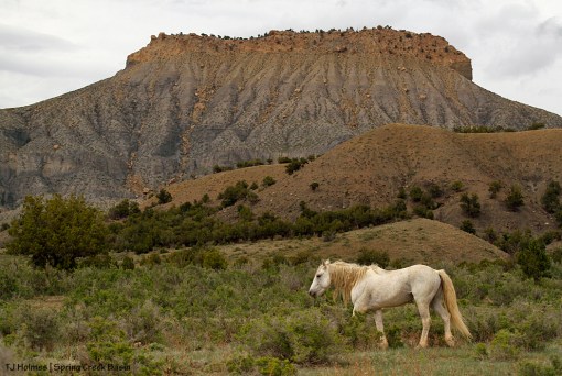
Snowmelt from Lone Cone and its drainages provides the lion’s share of water that flows into Disappointment Creek (to the Dolores River to the Colorado). That water isn’t accessible to Spring Creek Basin’s mustangs, whose herd management area is fenced away from the creek (mostly on the other side of Disappointment Road). But it gives Disappointment Valley its name, and Spring Creek Basin occupies a small, beautiful part of Disappointment Valley.
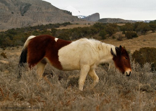
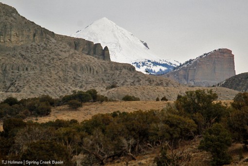
Lone Cone isn’t visible from most of Spring Creek Basin, but you can see it here, buried in snow and showing a promising water run this year for Disappointment Creek, which benefits many other species of wildlife in the area.
Meanwhile, as our snow melts at these lower elevations, the basin’s arroyos are trickling with water for mustangs. … And some of that water will find its way to Disappointment Creek to continue the flow.
Wanna see Lone Cone a little closer?
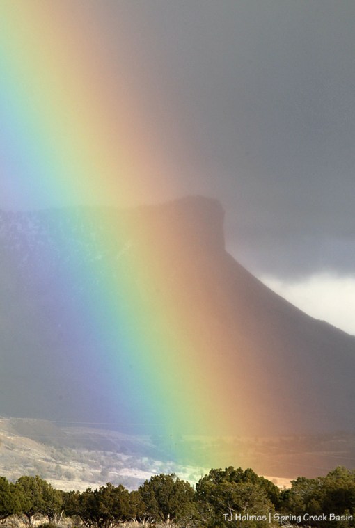
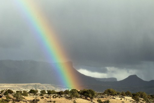
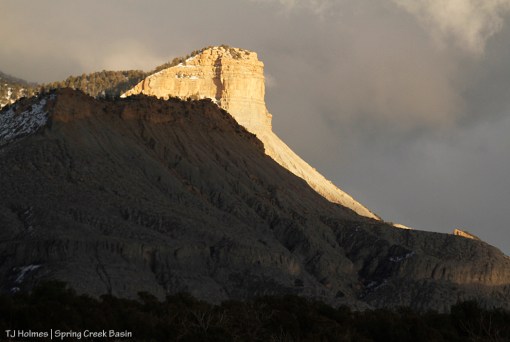
Note: That’s not Temple Butte at right. 🙂 Temple Butte is out of the frame – and much closer – to the left. Visible at left is the southeastern flank of Brumley Point (shout out to Mary Ann and Dewayne F., who were in Disappointment Valley last weekend for a “therapy drive”! Brumley Point is named after Mary Ann’s family).