We have our fair share of good-news stories here in Spring Creek Basin. In the wake of the National Advisory Board’s recommendations last week, it’s a good thing we have more good news to share.
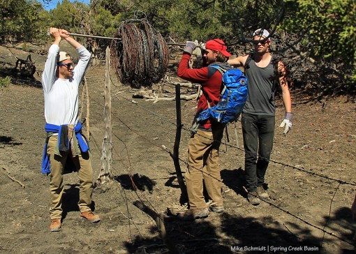
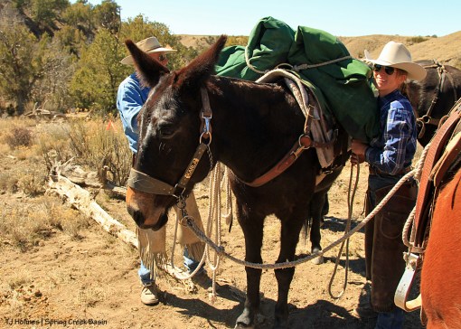
We’re no strangers to partnerships with the Southwest Conservation Corps, based in Durango. Most recently, readers may remember a fence project on the basin’s southeastern boundary line two years ago. Crew members hoofed (!) materials and wire up a steep, steep hill beyond where University of Missouri students have been slowly but surely rebuilding the fence north from Disappointment Road. This has long been a project in partnership with San Juan Mountains Association, alternative spring break (with Mizzou), Colorado chapter of the National Mustang Association and Disappointment Wild Bunch Partners. ** I nearly forgot to mention the awesome work by the U.S. Forest Service’s mule packing team, which delivered materials to the site earlier this spring!
And beyond the steep hill, the fence cross the bends of an S-arroyo that brings water into the basin when it rains. Since 2011, we’ve been talking about rerouting the fence there so it crosses just one bend, goes up and beyond the arroyo and ties into the fence as it continues toward Brumley Point.
I hadn’t seen their work until yesterday, and boy was I wowed!

This is now the fence over one bend of the S-arroyo. The branches are wired to the fence but aren’t embedded in the ground so they can give when water flows through. That’s Brumley Point in the background.

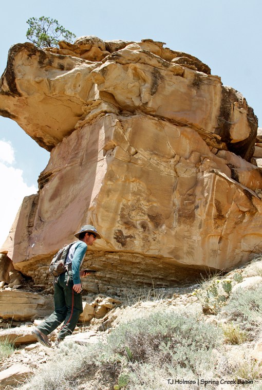
From the bottom of the arroyo, this was my first view of the crew, hard at work.

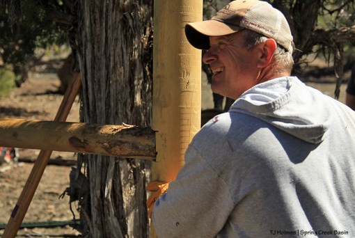
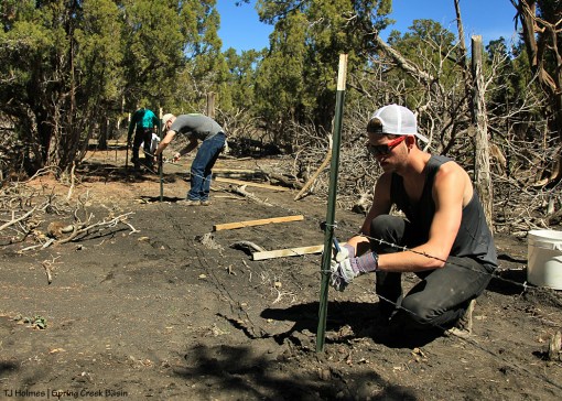
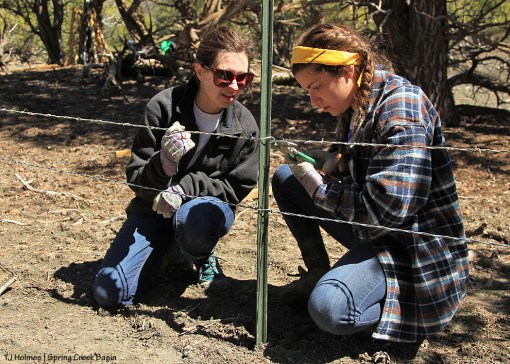
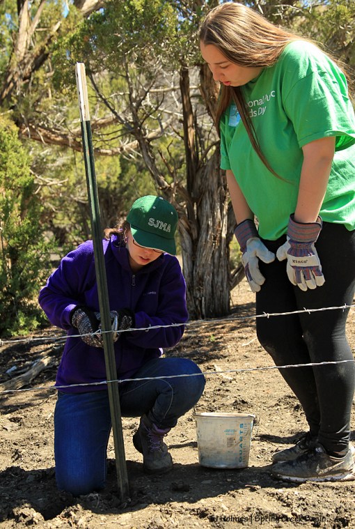
Crew members were putting the finishing touches on the end of the rerouted fence, adding wooden staves between metal T-posts and wiring the existing fence to the new H-brace. Pictured are Molly, Sara, Nicole and Mike.

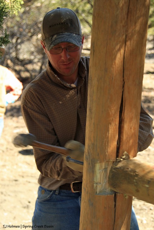
Lance has his work flow down as he wires a stave to the fence strands.
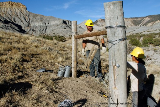
Mike and Nicole attached the wire strands of the existing fence to their new H-brace, which tied the new fence to the old fence. Brumley Point is at back left, and McKenna Peak is visible behind Mike.

A longer shot, showing McKenna Peak and Temple Butte. The new fence is that good-looking thing at left, and the old fence is visible (a couple of T-posts) straight ahead. To the right, down the hill, is the S-arroyo.

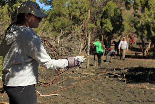
Crew co-leader Sara carries extra wire and tools back along the fence at the end of the day.

Sara (right) and her co-leader Alycia had just a few more staves to wire in …

… with Molly (left) and Lance before the end of the work day. Here, you can look down the hill to the arroyo. At far right, you can see just a bit of their new fence going down the hill to cross the bend (first photo in this post). The fence used to run across the drainage at far right across the bend, through the trees to the left, across the first bend (as the water flows) and up the hill.
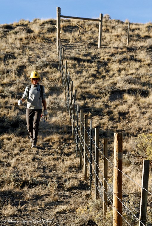
Alycia walks down the hill along the crew’s new fence at the end of the day … and a job well done! (The crew still has a couple of days left in their hitch and will work on patching some saggy places in the fence line.)

This perspective is taken from the south looking north. The fence is coming from behind my right shoulder, down to and across the arroyo, then up the hill to the left. It makes a corner toward the top of the hill (see pic above this one with Alycia) and runs across the hill above the arroyo – cutting the middle of the pic – to where it ties back into the existing fence above the first bend of the arroyo.

Big kudos to this small group of huge-working young folks! This fence reroute will serve to keep our mustangs safe on their home range by ensuring that the fence doesn’t wash away during rain events that flood the arroyo. We’re so happy to have the help of (left to right) Mike, Sara, Nicole, Molly, Alycia and Lance!
THANK YOU!