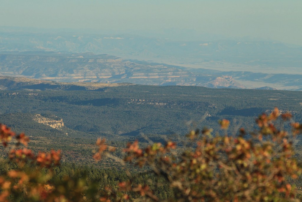
Other views

1 10 2020

Readers have seen a lot of pix of La Sal Mountains in my photos of mustangs in Spring Creek Basin. They form a pretty dramatic range on our northwestern horizon.

During a couple of recent aspen-leaf-peeping drives, I had the opportunity to see our landmarks from different perspectives, including from those not-so-far-away La Sals.

Spring Creek Basin, in Disappointment Valley, is a little hazy with smoke in this view southeast from below Mount Peale (the highest La Sal peak), and in this smallish view, maybe hard to pick out. But visible – in the upper, farthest area of the pic – are McKenna Peak, Temple Butte, submarine ridge (my name for it), Brumley Point, Round Top, Flat Top, Filly Peak and the rimrocks on the western edge of the basin.

Autumn-tinged Gambel oak is in the foreground.

This may be the most colorful image I’ll ever get to take of Temple Butte.

It’s taken from a couple of miles east of Groundhog Reservoir, looking northwestish. Spring Creek Basin is on the *other* side of Temple Butte from this perspective.

Happy autumn. I hope you’re all enjoying the colors of the changing season and the cooler temps!


Oh! Snow!

19 12 2012

Joy. 🙂

La Sal Mountains

The storm that blew over Colorado last night and this morning did NOT miss Disappointment Valley this time. Nor at least part of Utah, based on the above pic of the La Sal Mountains, which actually are northwest of us in the Beehive State. Close enough!

No pony pix (yet). Although it was cold (mid-20s), the snow was wet, and it did create mud of the earth beneath the snow, so I didn’t drive into the basin. After the snowstorm: clear blue beautiful sky. That promises a colllldddd night – and a frozen-road morning on which to (hopefully) access winter mustang paradise!