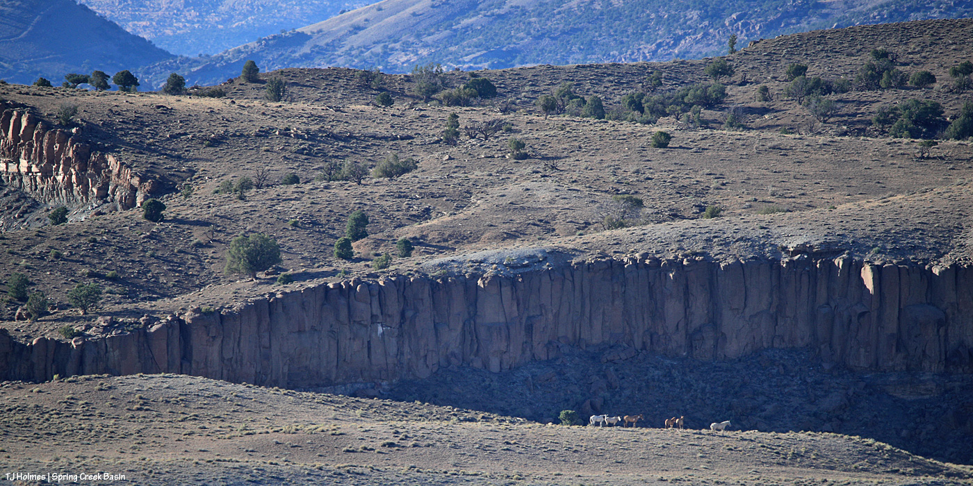
Long-view images of the mustangs looking small in their big country are some of my favorite images. They show the vast scale of the mustangs’ landscape, even in as small a range as Spring Creek Basin.
The mustangs in this pic are on the south rim of Spring Creek canyon; the rimrocks above/beyond them are the north-rim, south-facing rimrocks above the canyon. They were headed down to water (yes, there are trails, and the horses know them intimately).
The canyon literally is where the Spring Creek arroyo carries water from rain (yep, we need it) that falls in the basin and runs down all the minor arroyos to the main arroyos to the major arroyos to the *major-main* Spring Creek arroyo, which gives Spring Creek Basin its name. 🙂 That water runs out of Spring Creek Basin via Spring Creek to join Disappointment Creek, and the water carried by that creek (with its source at Lone Cone, so it carries snowmelt into mid-summer if we got enough snow the previous winter …) joins the Dolores River (carrying the vast amount of sediment that ends up in the Dolores (you’re welcome)), which flows on to the Colorado River.
It’s all connected. 🙂


Such big, beautiful land, TJ, and precious mustangs to roam in it. Heaven.
Heaven is absolutely right! 🙂
Very beautiful! The horses look so tiny compared to the landscape!
It really gives a sense of scale, eh? 🙂
A wondrous place.
Truly. 🙂